Lassen Back Roads
Lassen Rd #30N16 – Lassen National Forest
Nanny Creek / McGowan XC
E of Mineral, CA
Narrow dirt road thru dense forest, connects Highway 36 to Lassen Route #29N22 (Dry Lake Trail) and then heads west to meet with Lassen Road 17 (aka #31N45)
The McGowan Lake Cross-Country Ski Area has been in existence since 1982 and offers 10 miles of trails, 5 miles of which are periodically groomed.
Literally in the shadow of Lassen Peak, McGowan area trails wander through mixed conifer forest and are popular with beginning to advanced skiers. Elevations range from 5,020 to 6,200 feet. McGowan cross-country ski trails are closed to all motorized vehicles.
click to enlarge map
NOTE: No OHV riding, nor snowmobiling on this route!
WINTER – snow fall begins as early as November and lasts thru May. Road can be muddy in late spring.
SUMMER – this dirt road is accessible by automobiles during warmer months only and is not gated.
A few dispersed campsites along route 30N16, within the first mile from the pavement (Hwy 32). These precious few camps are usually in high demand during summer months! Head up hill a few more miles, deeper into the forest and find a real secluded site, dispersed style. Campfire Permits are always required for back country fires; found at nearest ranger station USFS in Mineral, CA
The first portion is a 2.1 mile long dirt road follows Nanny Creek about a mile, then it banks left, uphill to meet with 29N22. Sugar Pine Trailhead is located on this upper section of 30N16; a small wooden sign in a dense thicket can be seen on right side of road.
Junction with 29N22 #30N16 @ wide intersection w/ #29N22 – right turn for McGowan Lake, Christie Hill and the Volcanic National Park.
Road 30N16 continues westbound – Left turn for Heart Lake Trailhead, secluded boondock campsites and eventually, this dirt road ends @ Lassen Road 17 (#31N45) which is also a dirt road (and locally known as the Viola-Mineral Road), connecting Hwy 44 to Hwy 36.
DEEP SNOW can keep these dirt roads closed well into summer months, depending on the snow year. Keep this in mind when planning any early season recreation.
Broke Off Trail Lane intersects this 30N16 road right at the highway (36). It is the hard left that heads steeply up the rocky incline and skirts the highway headed west; Connects to the White Fir Lane road system above the small town of Mineral, CA.
NFS Campground Algoma >>> McCloud Creek becomes McCloud River a few miles downstream from this small camp. Aspen grove, one lane bridge, dirt back roads, river hiking trail, fishing, creek wildflowers.
NOTE: This campground is NOT near the waterfalls, and it’s a 10 mile long hike to reach them.
autumn colors/aspens
camping
creek/river
hiking
hunting
fishing
mountain biking
off-roading
wildflowers
Park that chair in the creek and relax all day long.
• Elevation: 3,800′
• Number of Sites: 8
• Vehicle Accessibility: RV 24′ max
(trailers not advised)
• Toilet: Vault
• Piped Water: No
• Campsites Reservation: No
• Length of Stay: 14 Days
• Season: May – October
• Trailheads: McCloud River Trail
• Operated By: NFS
• Closest Town: McCloud, CA
From McCloud @ Highway 89: Drive 13+ miles (east), past CalTrans warehouse.
TIP: The turn-off for Algoma (Stouts Meadow) is NOT SIGNED from the highway. Rangers recommend turning at the cross country skier sign, but that sign is so small and faded, you can barely even see it. The paved road intersection is the only one around, so it is hard to miss if driving slow, under 50 mph. Turn right off the highway, and drive 1 mile to the campground at bridge.
Only two campsites on north side of bridge, and the rest are on the other side of the river. Algoma Bridge may be closed, so you can park and walk across to reach the campsites. Call ahead to find out current conditions.
Carrizo Gorge Goat Trestle – via Mortero Wash. Near the south end of Anza Borrego State Park is the infamous ‘goat trestle’, one of the largest wooden rail road trestles in the US.
This hike can be reached by driving N on San Diego County Road S2 (from I-8) into Anza Borrego Desert State Park. Near the park boundary keep your eyes peeled for Mortero Canyon Rd (signed) on the left side. This is a sandy, one-lane, dirt road, accessible by passenger car, that leads out to the train tracks & then past to the Mortero Big Boulder campsites. Park at rail road tracks near water tank & start hike from here.
Ground was broken on September 7, 1907 by San Diego’s Mayor, John Forward and the construction of the 140 mile route was completed on November 15, 1919. The first through train was the called the “Golden Spike Limited”, named after the $286 golden spike, which John D Speckels drove into the ground near tunnel #8.
The Goat Canyon Trestle was built in 1932 to re-route tracks due to a landslide.
Passenger Cars Ran until 1951.
The route through Carriso Gorge was closed temporarily by Tropical Storm Kathleen in September of 1976.
And was reopened 1981, and then closed again by recurring storms.
Kyle Railways ran freight cars until mid 1984.
The Carriso Gorge section has fallen into disrepair with two trestles being burned and the collapse of two tunnels as the result of fires. The trestles have been rebuilt and one of the tunnels has been repaired – however, this scenic section of track is used mostly by hikers and mountain bikers.
Other Facts: Derailed cars are from 1984 and were filled with bags of cement. Laborers were brought in to unload the cement but the cars were left. The Goat Canyon Trestle is 185″ tall and 600″ long. During its use it was the tallest wooden structure in daily use. Hence, this trestle was designated a Historic Civil Engineering Landmark in 1986. Carrizo means “reed grass” in Spanish. Total cost of construction was $18 million.
In 1979 the SD & AE west of Plaster City was sold to the Metropolitan Transit Development Board for $18.1 million. SD&A was said to stand for “Slow, Dirty and Aggravating” generally because of the high temperatures, smoke and open windowed trains cars.
South end of Anza Borrego State ParkDispersed camping (for free) in the Boulders
Interstate 8 EAST from SD / exit Ocotillo. SD county road # S2, the south end near the State Park boundary. Gorgeous every season but summer. Great winter camping close to SoCal.
This dirt road is located in a desert wash area, which starts west – off the paved road S2. The signed white desert wash is a suitable drive for passenger cars (most years). But you best have 4×4 if the rain gets going good. Low riders should watch for the ridge lines – as they are naturally rockier places and could take out an oil pan of a mini SUV (at a high rate of speed).
The giant boulders garden at the far end of this route have nice views of the Imperial desert floor. Better from the top of the boulders too; numerous primitive camp sites are tucked into the coves, surrounding the big boulders.
No toilets; no shade; no water; minimal vegetation. At night the stars are heavenly, but you can see city lights from Calexico and Mexicali.
GOAT TRESTLE?
From this area you can hike or mountain bike up to the “old goat trestle” and numerous historic train tunnels @ Carrizo Gorge Goat Trestle (not to be confused w/ the wildflower destination called Carizo Plains in Kern Co). BRING A HARD COPY topographic MAP of this area, if you wish to explore past camp. Moderate hike, an all day adventure. Bring lunch and water!
SAN DIEGO Backcountry Map
this waterproof map has the entire State Park covered with all back roads, trailheads, campgrounds and railroad tracks
When you decide to stop the car, look around for the best spot. Park off the road way and preferably in a turn out or camp spot. Turn off the engine, get out of the automobile, stretch your legs, breathe, look, close your eyes – tight and breathe deeply, then open and look around you again. This particular place is special, you can just feel it. Walking around the boulder area, be cautious of snakes.
On the boulders – closely examine them, climb on them, get to the top; you will find (Native American) Indian grinding holes called mortars or morteros.
great side trip option: Across the paved road (SD County Road S2) on the opposite side of the valley is a nice hike to Sand Dollar Hill. (I’m sure this isn’t the real name). Dirt road leads up to a dirt parking area for hikers. Busy lil place sometimes. These desert dirt hills have wind caves and chunks of sand dollars scattered all over them. The real ocean floor way out here, east in the Anza SD desert… how cool is that?
great side trip option:Canon Sin Nombre is just up the road a piece, N on S2, on the EAST side of the road. Amazing viewpoint turn out, right on the highway, overlooking the impressive topography and badlands. If you have a high clearance SUV or any truck you can drive down into the sandy tight, rocky wash. It meets back up with another main wash way back there.
Tons to explore back here. Off roader should think Tread Lightly on this turf and primitive car campers should use a Leave No Trace approach. White sand, deep sand, caves, smoke trees, and the best slot canyon climbing & hiking this side of the Anza Borrego State Park.
Aspen Groves are easy to recognize with their thick stands. White trunks with dark knots, slender, with oval shaped leaves. Growing in a network of roots, which are found lining creeks, alpine lakes, or spilling out from higher elevations, along scenic canyons.
The unique round leaves which can turn spectacular colors in the fall season. The fluttering and flapping of the oval-shaped, thick, green leaf is a sure sign of summer. When breezes get cooler, Autumn is only a few weeks away and as quick as the cold comes in, what a short and special show they put on.
Green Creek historic cabin, on the Eastern Sierra
California Fall Colors
Aspen trees can be found at higher mountain elevations in California, usually above 4000′ – all the way up to about 10,000′ or higher, depending on the mountain range and local water flows. Groves have an extensive root systems underground, so they often withstand wildfires and can come back after the rest of the forest is gone.
Beavers build dams in creeks around aspen trees, fishermen and campers love to camp next to aspens, and lovers carve their initials into their white bark. These trees do indeed take a beating, from all angles, winter weather included… so stop from cutting them!
BIKE
CAMP
FISH
HIKE
KAYAK
PICNIC
summer and autumn
These deciduous trees are naked half the year, typically from November to April, as winter buries them in snow and ice. Time is of the essence, limited to Summer and Autumn – to enjoy their shade and the beauty of the groves. Scenic meadows and fishing creeks are just an added bonus for searching out the aspen.
Aspens can be found in hidden canyons, primarily along the Eastern Sierra US Hwy 395 and surrounding mountain lakes. Some Sierra Passes have decent displays of color as well – like Carson Pass Hwy 88 and Yosemite’s Tioga Pass Hwy 120.
Below is a list of Total Escape’s favorite aspen areas of California
Mount Lassen is part of the Cascade Mountain Range, located north of the Sierra Nevada. The Lassen forest encompasses a large area of wilderness land, snowmelt creeks and an abundant dirt road system. Most of which is covered in deep snow about half the year, so plan accordingly.
Plenty of great dispersed camping along the old logging roads in this Lassen Forest area, surrounding the Volcanic National Park; in Northern California. Many dirt roads are graded annually to allow for passenger car access. You can make it way back there in a car – just watch for the mud and some boulders!
Camp fire permits required (see below). Pease try to choose a camp that has been used before and pack out your garbage.
HINT: a USDA Lassen National Forest Map is very helpful when camping these remote, Lassen back roads. Stay away from the crowds, avoid camp fees & really enjoy your vacation.
Camp right on a rushing river, alone. With no one in sight or sound. Have that secluded camping experience you’ve always dreamed about. Fishing, relaxing, maybe some hiking too. Or better, your mountain bike. Plenty forest roads to explore.
Numerous waterfalls to discover, water flowing everywhere. Mount Lassen @ 10,457′ elevation, is often snow-capped year round. This Northern California region is covered with pine forests and volcanic history.
Cool Springs @ Butt Lake, California (PG&E Campground)
If you wanna find the nearest biker bar, head over to the rustic and forested Bambi Inn @ Butte Meadows. The place is popular all the time, especially on weekends. Scenic day drive from Chico, located near a nice river and bridge, plus they have cabin rentals too. Sometimes they have big events and it can get pretty crowded and loud w/ drinking and outdoor music.
BSA Camp Lassen is a boy scout camp located E of Chico, off Highway 32 near Butte Meadows, CA
Dispersed Camp sites in Lassen in Lake Almanor Area
campground
elev.
spots
veg
toilet
water
notes
Alder Creek Campground
3900′
6
pines
vault
creek
March-Nov
Benner Creek Campground
5562′
9
pines
vault
creek
May-Nov
Black Rock Campground
2100′
6
pines
vault
creek
year round, fish
Echo Lake Campground
6440′
hike
pines
none
lake
May-Nov, no tables
Soldier Creek Campground
4890′
disp
pines
vault
creek
May-Nov, fall hunters
South Antelope Campground
2700′
4
pines
vault
creek
year round
Willow Lake Campground
–
disp
pines
–
lake
May-Nov, no tables
NORTH LASSEN
Free Camping Lassen
Northside of Mount Lassen
Excellent back roads camping w/ dense forest and free firewood all over the place (bring hand saw). Dispersed, primitive, free camping, near creek, and highway close. Many forest dirt roads turn offs, all along Highway 44 (California SR 44) near junction w/ Hwy 89 @ Lassen National Park.
Big creeks, dense forests, graded dirt roads, dark night skies. PCT access, trailheads, camping, fishing, hiking, hunting, all along Upper Hat Creek.
Campfire permits (shovel, bucket & water) are required when camping outside of a developed campground. Always check on current fire restrictions. Washed out bridges and landslides are common, which means road closed signs can be found on these remote backroads.
An overnight stay out-of-doors. Sleeping out under the stars.
Air bed, camping cot, tent… or just a tarp on the ground.
Perhaps a luxury Cabin Rental in the mountains or on the coast. Your choice.
From a luxurious cabin in the mountains, to a small clearing in near a meadow with a stream nearby – with just a backpack, the idea of “camping” is always a bit different for each person. Roughin’ it for free – in the wilderness, or on the back roads; Or pay dearly for the price of real amenities, while on vacation.
camp sites that require you to physically haul your camp gear from a parking area to the camp spot, ranging from 1/8 mi. walk to a 1-3 mile hike
backpacking
free w/ wilderness permit
ultimate in seclusion, bring it all on your back, on foot into the wilderness & enjoy trail camps
Trinity River Camping, Douglas City, CA
SO CAL CAMP FIRES – Yellow Post Campsites are remote camping spots in secluded areas, in a designated fire safe clearing. No facilities such as toilets or showers. Maybe a picnic table & fire rings, if you’re lucky. Southern California forests have these kinda spots. Required campfire permit & you must double check on local fire restrictions.
These structures are half way between ‘roughing it in a tent on the ground’ & having a ‘mountain cabin’. Tent cabins have wooden floors w/ canvas walls and roof; Dismantled annually for winter rain/snow, they are usually only available in mild, coastal climates or during summer months in the mountains.
Rentals typically include sleeping cots, but you’ll need to bring your own bedding (sleeping bags, sheets, pillows). Some rentals include shaded porches, wooden decks, minimal furniture, kitchenettes and/or wood burning stoves. Electricity may be available, or maybe not. Ask ahead of time, if you really must have that particular luxury when on vacation.
Yurts are a ’round version’ of this canvas cabin – which need to be aired out, often (to prevent mold). Yurt rentals are very popular and in high demand in California.
Find these type of rentals at yoga retreats, hot springs, beach canyons, remote lakes, redwood forests, high sierra camps, fishing camps and at certain RV parks.
Camping areas along Kings River, Sierra Nevada California
Kings is the longest river in the Sierra Nevada and very rugged and remote in most of the length. The Upper Kings is situated in the Wilderness and National Park at the highest of elevation. Granite alpine back country, with abundant small lakes, the Pacific Crest Trail and numerous Wilderness areas.
The tallest peak, Mount Whitney, drains this way – down waterfalls and whitewater, westward to the San Joaquin Valley. Agriculture, farmlands and orchards of fruit.
The Lower Kings is popular among campers, fishermen, kayakers and rafters, accessible most of the year. Upper Kings River is located inside the National Park boundaries.
Upper Kings River Headwaters
8000-10,000′ elevation
PCT trail camping, hiking trails lead 20+ miles from Cedar Grove, skirting the Joh Muir Wilderness
NPS Campgrounds @ National Park South Fork Kings River
Inside Kings Canyon National Park:
Cedar Grove Village @ end of Highway 180
elevation 4600′
may be closed during winter months.
reservations recommended.
Roads End Trailhead
Backpacking trails lead up river from the paved parking area.
NPS – wilderness permits required for overnight stays.
Camping, day hikes and horseback trails. Wildlife and wildflowers abundant in this Cedar Grove / South Fork canyon.
Camping near Lower Kings River
Open all year round. Outside the National Park boundary, westward in lower elevations, many more camping options are available.
NOTE: Sierra National Forest is located on the north side, along the river shore in between Pine Flat Lake & Kings Canyon National Park. But Sequoia National Forest is located on the south side, so you may need more maps. Cell phone service is spotty or non-existent in this deep canyon.
Trimmer Springs Road #11S12: a paved access road, that wraps around the northern shore of Pine Flat Reservoir. Very curvy and long, with 25 mph curves; this main route continues east into the massive Kings River Canyon.
Google Maps may have this road crossing the river, towards the end. Proper signage is questionable in the area, since local rednecks love to shoot up signs. Trimmer route quickly peters out to narrow dirt roads, anywhere past the Mill Flat Campground area.
Lower Kings is NOT easily reached via the National Park, nor Kings Canyon Highway 180. Dirt road travel is required on Road #12S01, which can be steep and rocky at best. The drive is a steep climb up to the highway, which may require 4 wheel drive in some sections, depending on weather and land slides. This road is rough, so you will need at least a high clearance rig and a good forest map. Winter brings some snow and abundant rains (NOV – APRIL).
LANDSLIDES and ROCK SLIDES are common with ROAD CLOSURES not always posted on the Sierra National Forest, NFS web site.
Wildflowers are abundant in this region for springtime. (MARCH-MAY)
both above camps are free camp spots: boondocking, dispersed camps, primitive car camping, tent camping, RV camping, river fishing, kayaking, rafting
Sierra Road #12S01– primitive camping, few pit toilets; fishing access, some trailhead camps and RV spots along river. The northern most arm of this road is also referred to as Road# 12S001 Garnet Dike, on the NFS web site.
BlackRock ReservoirRoad #11S12, another side route (paved) climbs steeply in elevation, along a cliff edge. This spot offers a small NFS campground near a lake, and is located along the North Fork of the river.
Avocado Lake Park is down river and a perfect spot for a picnic or BBQ. A 210 acre day use park providing recreation that includes swimming, fishing and picnicking. The park has picnic tables, a group picnic area, BBQs, boat launching ramp and a playground. West of Pine Flat Reservoir, this grassy county park is only open during daylight and no overnight camping is allowed.
Next park down river is Kings River Green Belt Park, which seems to be popular with joggers and dog walkers. Also run by the county, this place closes at sundown and no camping facility is offered.
@ Highway 180
Riverbend RV Park
17604 E Kings Canyon Rd
Sanger, CA 93657 with seasoned organic firewood
Held in the hills above Redding in the mountain town of Burney. The impressive volcanic Lassen forests, with small town events like Burney Basin Days draws tourists from near & far.
Parade, fireworks, craft fair, breakfast and lunch, car show, bed races, horseshoe throwing competition and a cornhole tournament. Plenty of great camping all around this location. The few local motels fill up fast during summer months.
Pacific Islanders of the San Francisco Bay Area offer talents in music & dance during this 2-day festival of arts. Entertainment highlights include Pacific Islander music as well as Polynesian dance. The festival will also feature arts & crafts vendors, island cuisine, educational exhibits and workshops, and games for the kids! Located at the San Mateo County Event Center.
The Eastern Sierra Nevada mountains run the length of US Highway 395, through most of the eastern side of California. Mammoth mountain is a volcano, so naturally hot springs come with the package. These hot tub destinations listed here are mostly part of the Long Valley Caldera, an ancient volcanic table land. North of Bishop and near the snow ski destination towns of June Lake and Mammoth, California in Mono County, California.
(This region is not to be confused with Mammoth Hot Springs in Yellowstone National Park, nor the Mammoth Site in Hot Springs, South Dakota.)
Backroads Camping is allowed throughout Inyo National Forest, but there is private ranch lands mixed in w/ public lands. Respect property boundaries, and speed limits around gates and intersections.
Camp sites are not located next to the soaking tubs. A few may be within walking distance. Parking is often limited at these remote, public use hot pools. Total Escape TIP: Behind Lake Crowley: abundant, free camping – wide graded dirt roads (RV and passenger car suitable). Inyo National Forest Map is recommended.
Eastside of Highway 395
Casa Diablo Hot Springs near the Mammoth exit, is a location noted on most maps, but this seems to be the geothermal power plant for the region. If you are looking for hot springs tubs to soak in, you’ll need to get off the main drag for those beauties, way off the highway.
On to dirt roads
Hot Creek
Inyo Forest Road #3S45
Hot Creek Hatchery Road
(near Mammoth Airport)
Minimal dirt road driving. A very popular spot where hot springs are located within the big creek, so you can feel cold and hot water flowing by you. Scalding can occur near vents underwater, so use caution when wading. Large parking lot overlooks the soaking area and creek canyon. Swimsuits required.
Benton Crossing Road
leads east, around Lake Crowley, to the small town and camping resort and inn of Benton Hot Springs
Inyo Forest Road #2S84
Benton Crossing Road
This rural intersection at US Hwy 395 is known for the little green church on the corner. Turn east off the highway on to this road > BENTON CROSSING.
Pull over, get out and stretch. Look at your maps, get the GPS out and then start your exploring. First timers might be able to find a soaking tub within half an hour, if you don’t get lost. Or get stuck in a muddy spot, which is easy to do at night.
Hill Top Hot Springs
Latitude: 37.6642
Longitude: 118.7883
Elevation: 6873′
also known as – “Hilltop, Pulky’s Pool”
Willy’s Hot Spring
Latitude: 37.6591
Longitude: 118.8425
also known as – “Wild Willie’s, Crowley Springs”
Inyo Forest Road #2S07
Whitmore Tubs Road
a major graded dirt road that leads north off of the paved road, becomes Owens River Road and connects back to US 395 many miles to the north.
Several primitive hot tubs can be found on dirt roads in this region, which lead off the main paved road. At night these remote pools can be hard to find – with no signage, no street lights and pitch black darkness. Plus the mud bogs and grassy fields all around make the landscape difficult to navigate. If you plan a nighttime arrival, then plan to drive in slowly around the pools, have your GPS handy and look for steam in the air. Cut your headlights if you see other cars or people, and proceed slowly.
Be considerate of others and friendly. Do not litter. Do not crank up music. Wait for others to finish soaking and do not rush anybody. Give others space and privacy to get dressed.
Crab Cooker Hot Springs
Latitude: 37.6633
Longitude: -118.7995
Elevation: 6857′
also known as – “Fleur de Lys”
Shepard Hot Springs
Latitude: 37.6668
Longitude: -118.8025
Elevation: 6940′
also known as – “Shepard Springs”
Rock Tub Hot Springs
Latitude: 37.6474
Longitude: -118.8080
Elevation: 6990′
also known as – “The Rock Circle”
Little Hot Creek
Latitude: 37.6902
Longitude: -118.8424
Elevation: 7000′
Inyo Forest Road #3S138 high clearance vehicle required
Whitmore Hot Springs
904 Benton Crossing Road Mono County Park w/ public swimming pool & day use fee
Phone: 760-935-4222
also known as – “Whitmore Tubs, Whitmore Springs”
Minarets at Mammoth
The Backside
Inyo Forest Road #3S11
Minaret Summit Rd
This wilderness region is located the on the west side of Mammoth Mountain, accessible by the paved Minaret Summit Road, which closes due to deep snow and is generally only open during summer months.
Red’s Meadow Hot Springs
developed campground w/ wooden sheds for baths: showers & tubs.
near Devil’s Postpile National Monument
Latitude: 37.618
Longitude: 119.074
Elevation: 7000′
also known as – “Red’s Meadow Hot Showers”
Iva Bell Hot Springs
remote, wilderness; hike-in hot springs.
south of Mammoth & Rainbow Falls, via trail #2622
Latitude: 37.532
Longitude: 119.025
Elevation: 7400′
also known as – “Fish Creek Hot Springs”
Celebrate Freedom and Independence Day lakeside under giant shady oaks with three great musical acts on an afternoon of music, food & drinks! General Admission is free to the music festival. If you want to be closer to the music there is a reserved VIP area and VIP Plus to get into the front row. ?Don’t forget to bring your low back chair or blanket.
July 4th @ 4 to 8 pm
Atascadero Lake Park
Annual event: July
One day event, always held on Fourth of July
Living History in Downtown Placerville, California
Historic Gold Country. Walking parade, re-enactments, costumes encouraged. Street dance party (5pm). Live music all day, food, drinks, games. Free admission.
Annual event: June
Saturday 2-8 pm, One Day event
530-391-2190
Sacramento Gold Rush Days in Old Town is now
“Waterfront Days Old Sacramento”
3-day event takes place on Front Street, The Embarcadero, and the 1849 Scene all along the wonderful Sacramento River. The heritage celebration features a wide variety of crowd-favorite entertainment, all free to experience and enjoy.
The Camarillo Fiesta Street Fair is renowned for the wide variety of entertainment and attractions. Big, local event which includes carnival rides, a street fair, petting zoo, concerts, and even an art show.
This long running beach block party is always held on the extended Memorial Day Weekend – kicking off the summer months. 3 days of live music, art, food & fun.
Annual Father’s Day Invitational Auto Show Yountville Car Show
Napa Wine Country celebrates the “art of the driving machine,” from the national champions to the local favorites, to one-of-a-kind collector curiosities. More than 100 early and late model automobiles.
McCloud California holds a late May fair on Main Street; Mushroom Vendors, Wine Tasting, Special Mushroom Delicacies, Cooking Demonstrations, Music, Live Bands & BBQ
2 day event held every Memorial Day weekend, the McCloud Mushroom, Music & Wine Festival celebrates the proliferation of wild mushroom hunting that occurs every spring in Shasta National Forest
There are many gorgeous rivers in California that are perfect for camping and fishing, but none are located in Southern California. None! Yep, you read that right. If you think about it, the golden state is about half desert! The majority of our natural water in our state is coming from the north – so take this as a warning: you might need to drive a few hours to find your ideal river camp.
The easy-to-access waterways are found mostly along highways in the Sierra Nevada – or way up in NorCal. Deep granite gorges carved out by glaciers, surrounded by forested peaks is only half the appeal. High elevation lakes, waterfalls, big trees, abundant wildlife, and the alpine villages are all part of the Sierra Nevada experience. Raft, kayak, fly fish, hike, bike or just camp out next to a big, rushing, flowing river. Our selection of California maps will get you narrowed down to a specific region, so you can find that perfect river campground, or explore and discover the back roads – for the most seclusion.
KERN RIVER: The Kern River is one of the most popular of all the Sierra rivers due to its proximity to SoCal. Hurried, stressed-out, Angelinos (LA) can be at this destination in under 3 hours – which makes it a very busy place most months.
So, let it be told, that summer is not the best time to enjoy the Kern. If you do plan a summer outting, make sure you head for the Upper Kern (10+ mi N of Kernville & Lake Isabella) or the North Fork of the Kern (out in Monache Meadows) where 4×4 is often needed.
The Lower Kern River has only 2 developed campgrounds: Hobo (closed for damage 2019) andSandy Flat (open all year). Numerous primitive camp spots are available along Old Kern Canyon Rd, which parallels the Hwy 178 on the south side. None of which are located at the rivers edges. Remington Hot Springs is a popular spot for soaking. Fishing trails, mountain biking trails and hiking trails, all over. Fire danger is great in this area, so pay extra close attention to signs and fire restrictions.
Kern River above Lake Isabella and Kernville is a better choice for camping availability.
Everybody loves Yosemite! This is the most popular park in the whole state; maybe the whole nation.
The majority of campers want to stay “right on the river” when they visit Yosemite NP, but that is just plain old impossible, since reservations go fast and there is only so much room for everyone in this enclosed, narrow, precious valley.
This particular park has some major floods (1997 & 2005) that wiped out bridges, road ways; all the old wooden cabins (at Yosemite Lodge) are gone and only half of the campgrounds are still available. Yosemite has had 11 winter floods since 1916 that have caused substantial damage to property. That number is expected to increase, as winter precipitation is getting less predictable.
Reservations are taken for camping and cabins – far in advance; like one year. No joke!
3 Yosemite Campgrounds are located next to the Merced River (inside spectacular Yosemite Valley)
Way up in the Yosemite high country, which is only open a few months outta the year, the beautiful Tuolumne Meadows Campground is located next to lush meadows and the scenic Tuolumne River. All Yosemite campsites must be reserved well in advance, so visit links above – if you are serious about a Yosemite camping trip anytime soon.
MOKELUMNE RIVER: Way up the road, deep in the western Sierra, Gold Country. Small NFS campgrounds, right on the river; Access is long, narrow paved, switch-back road, not suitable for RVs or trailers.
STANISLAUS RIVER: The Sonora Pass, the fishing is very decent way back in this granite gorge. Highway 108 is only open a few months outta the year, due to deep snow & rock slides – so time is of the essence. Summer time is prime vacation weather up here. Several campgrounds are located right on the river, or on the major feeder streams. Or you can opt for secluded primitive camping on the back roads. Find Sonora camping in Stanislaus National Forest.
YUBA RIVER: The biggest play time river in the northern Gold Country, this runs along Hwy 49 near Downieville and also has a major South Fork for the best swimming holes and primitive camping in this region. Tubing, rafting, kayaking, fishing, camping, gold panning, you name it, Yuba has it. Look for more on the South Yuba Recreation Map, or the USDA issued Tahoe National Forest Map
FEATHER RIVER: Top fishing river in the Lassen to Oroville area. Chester and Lake Almanor in the upper reaches. High Bridge Campground is nice paved-camp-site camping; a forested spot where you can fish 2 rivers on the same day. A Plumas NF or Lassen NF map would be quite helpful for this region. Lower down the mountain, lower Feather Rivers which include all 4 forks which feed Lake Oroville – West Fork (Paradise, CA), North Fork, Middle Fork Feather, (Berry Creek, CA) and the South Fork (Lumpkin). Lots of waterways and creeks worth exploring in between Chico and the mountain town of Quincy.
KINGS RIVER: This one particular river is the longest in the Sierra Nevada mountain range, pulling snow melt from the upper reaches of the High Country and Mount Whitney. The river area just to the West of the National Park, over to Pine Flat Reservoir, is all prime for outdoor recreation. Several river rafting companies work this stretch of river.
GIANT SEQUOIA: in between Sequoia & Kings Canyon, inside Sequoia NF
This chunk of National Forest land is perfectly located in between 2 very popular National Parks – Kings Canyon and Sequoia. This primary paved road leads to some great camping, a perfect option for NOT camping inside the crowed National Parks.
Turn east off of Sequoia ‘Generals Highway’ 198, on to the well signed Big Meadow Rd. There is primitive camping all over this area & a few developed campgrounds along this route. Motorhomes be warned: the road narrows to one lane with no “turn outs” or U turn spots for the last 10 miles (on a steep cliff w/ large overhanging rocks)
In the first few miles, the dispersed camp sites on the right side have great views & some situated on fairly flat granite slabs, perfect for astronomer campers or adventurous RVs. To the left side of the road is more primitive style campsites in wooded areas. The whole area is also a very popular cross country ski & snowmobiling spot for winter recreation. Hunters also like these camps during hunting season (in September).
There is a developed Horse Camp on the left side of the road for equestrian campers. This camp is located across from the biggest meadow and may be the first place you notice on this drive.
Buck Rock Campground (7600′ elevation, 5 spots) & Big Meadows Campground (7600′ elevation, 25 spots) are both family style camps, perfect for those who want picnic tables, plus bathroom nearby. Sorry no flush toilets out here, only pit toilets.
Buck Rock Fire Lookout Tower @ 8500′ elevation – is located to the north on Forest Rd # 14S02. It’s a great spot for some impressive views – if you aren’t afraid of heights. To reach the tower you must climb several flights of steel steps. This place is worth a stop if planning a sightseeing day.
Big Meadows Guard Station @ 7500′ elevation (also known as Big Meadows Cabin), is located next to the BIG MEADOW and is available for rent on a weekend basis from the NFS. Hiking Jennie Lakes Wilderness and fly fishing Big Meadows Creek are favorite activities to be enjoyed.
Big Meadows Road is long & narrow – 12+ miles. RVs are not recommended beyond the Big Meadow Campground, as the road is one lane in some spots & it skirts a cliff edge. The views are incredible the farther you go & many creeks feed the region.
The narrow, long paved road eventually forks off into several smaller dirt roads back near Horse Corral Meadow. Way back here, the dirt roads lead out to trail heads for backpacking, horse packing or day hiking in Jennie Lakes & Monarch Wilderness. Backcountry access to either Sequoia or Kings Canyon National Park! Have a good map if you plan to venture out this far. Pay attention & don’t get lost.
GPS would be helpful in this area. Some of the smaller of the dirt roads are not even on the NFS maps. Make sure to GPS way-point your favorite camp site, so you can find in next time…. in the dark.
This pine forest is home to the developed NFS campground – which has been named after the tribal elder. The camp location is a sacred spot to the local native tribes. Just above Susanville, CA on the west side, south of the highway; forested w/ creeks and aspen groves. Autumn colors can be found in the creek beds.
Dirt roads all over the place, leading to far away destinations like Diamond Mountain, Antelope Lake and Taylorsville. The backcountry region was recently damaged by wildfires: 2020 Sheep Fire and now the Dixie Fire
FREE CAMPING – W Susanville, CA en route camp
Less than 3 miles of dirt road #29N03 driving will get you back off the highway and into this forest, Hwy 36 W of Susanville. Bring the mountain bike for abundant usage and a week of exploring.
Only 13 miles to downtown Susanville, via the back road. Chaney Creek Road is a main dirt road near Highway 36, which parallels the river, the red rock bluff and the road, downhill into town.
This FREE campground is popular with the hipcampers and pediums – and gets rave reviews; small RV campers do like to use this camp spot, if they don’t mind a little dirt road driving; they’ll need to park in the dirt parking lot, 40+ feet away (not adjacent to the picnic tables or fire rings).
camping
ceremony
drum circle
fishing
hiking
horseback trails
hunting
mountain bike
off road trails
Bear Dance Circle @ Roxie
walk in campground, and close to town
Walk-In Campsites @ Roxie
AUG 2021 – CLOSED due to the Dixie Fire
Roxie P Campground
Susanville, CA – Lassen NF
• Elevation: 4,800′
• Number of Sites: 10 (walk-in only)
• Vehicle Accessibility: any
• Campsites Reservation: No
• Campsite Fee: No
• Length of Stay: 14 Days
• Season: open all year
• Trailheads: Diamond Peak
Flat forest and easy to walk. Shade and pine needles, picnic tables and group fire pits. All facilities are encompassed with a sturdy wooden, fence line. No RV or trailer access to camp sites. Mountain bikers like this spot and so do horseback riders. Travelers passing through eastern California will welcome the convenient location, plus the ease of dirt road.
The Roxie Camp is situated near Willard Creek on the south side of the Highway 36, close to Susanville. Willard is a feeder stream into the Susan River, which flows into town. Quiet camp, most of the time. If a big family is camping here w/ children, or there is a tribal gathering, it could get loud.
PLAN B – head over to Goumaz Campground NFS, due north. Located in between, near the junction of Hwy 38 & 44. Near the railroad tracks and the Susan River. Smaller camp near the NRT (National Recreation Trail), the Biz Johnson Trail (BLM). 2021, this camp is CLOSED!
so find someplace else: PLAN C
(make sure any camp is open by calling rangers before traveling).
OHV activity may be passing the developed campground, but are discouraged – due to the layout of camp. Plenty spots for ‘froaders further out – at the end of the road. Way back there!
Jeeps, 4×4 trucks, quads, dirt bikes, anglers and hunters travel these dirt back roads, as well as rangers, campers, horses, mountain bikes, and big logging trucks. 25 mph slow is always best. Daytime headlights help you get seen in the shadows. Forest is dense and road conditions are ever changing.
Forest Road #29N03 is Gold Run Road, the bumpy dirt road – that skirts around Diamond Mountain on the south side. Lots of one single track or one-lane dirt roads, which will require a National Forest map or a decent topo map to navigate properly.
OHV is common in these areas, but not so busy at this camp. If you seek peace and quiet and solitude, know how to read a map and where the noise is expected to be. Avoid the OHV areas, if you want to nap in the hammock and read a book.
Wild red necks with guns live in NorCal, so pay close attention to property lines and trespassing signs.
USFS Ranger Station is located on the west side, just outside of town, on the wide downhill grade on the highway @ the Eagle Lake turnoff. Cal Fire station is also located along this stretch of road.
Lassen National Forest
Ranger Station USFS
CA-36 @ Eagle Lake Rd
Susanville, CA 96130
530-257-4188
Cal Fire Station
697 CA-36, Susanville, CA 96130
530-257-4171
Mill Valley Fall Arts Festival
Mill Valley Art Fest
every autumn at Old Mill Park
This Fall Arts Festival is long running and highly competitive art festival that attracts hundreds of artists, many local and some from as far as Hawaii and New York. Thousands of art lovers come from all over the Bay Area to this beloved festival to stroll through the redwood park and discover treasures under the trees: sculpture, painting, ceramics, photography, textiles, woodwork – over 15 media categories that are sure to appeal to all artistic tastes. The festival represents the finest collection of arts and crafts in the country to view and purchase.
I-5 Freeway Close, Camping on Dirt RoadAngeles National Forest extends far north of Santa Clarita, CA. Way up Interstate 5, almost to Tejon Pass (4144′ elev). On the west side of the freeway is Los Padres National Forest and on the opposite side is Angeles National Forest. Both sides have abundant off roading and dirt roads, trails and camping areas.
A few developed campgrounds exist along I-5, but who really wants to camp out and listen to the freeway traffic? This route is a skinny dirt road, leading out to small remote campgrounds, often visited by off roaders. No facilities and no running water; you’ll be lucky if the picnic table isn’t shot up. Simple, bare bones, middle of nowhere for L.A. County.
Forest Road # 7N23
Long dirt road that begins at Three Points Road, off of Hwy 138 – the Antelope Valley freeway which connects the Grapevine and Tejon Pass @ I-5 to the Mojave Highway 14 out east.
USDA National Forest Map is advised, a high clearance vehicle is recommended – and free time needed to enjoy such a spot. 4WD may be needed during snow and really wet weather.
PCT access
The ever popular Pacific Crest Trail passes by this small NFS campground listed below. Backpackers, horse packers, dirt bikes and truck campers can all access this dirt road, but be warned it is WAY OUT THERE.
Yes, it snows up here (very infrequently) – terrain elevations range from 1000-5000′ around this region. Basic note: if Interstate 5 has snow warnings, this small, backcountry dirt road will get winter weather too. And sometimes that can be significant, during JAN-MARCH. If more than a few inches of snow are predicted, you best have a 4×4 and/or snow chains.
camping
dirt roads
hiking
off roading
wildflowers
Wildflowers bloom in April, and will need a decent amount of winter rain/snow to display the vivid colors. This area is not too far from the California Poppy Reserve in the Antelope Valley.
Hungry Valley SVRA is a large, popular off road park, located to the north. On the edge of the Los Padres National Forest @ the GORMAN exit.
Bear Campground
[2021 CLOSED, due to wildfire from 2020]open all year
elevation: 5400′
7 camp sites
no toilets
no water
no fee
Oak trees, sage, chaparral w/ wide open sky views. Picnic tables, fire rings and fresh air. Well spaced sites, with lots of room to spread out. OHV trucks & trailers do frequent this spot, so be warned.
Far from everything, so no impromptu beer runs to the mini -market. Bring everything you will need for any overnight stay, including ice, food, drinking water, washing water, and campfire water. LOTS of water is always good. No creeks flow year round. Summer and autumn can be very hot in these hills.
nearby destinations:
Sugarloaf Ridge, Greenhorn Mts
Alta Sierra, Kern River Canyon
Sugarloaf Road, above Kern River Canyon
SOUTH SIERRA: This route is located in between the Western Divide Highway and the cedar community of Alta Sierra, CA
Sugarloaf Ridge: Forest Rd# 23S16 – Thompson Camp Spring, The Den @ Sequoia National Forest
Driving north on Sierra Hwy N of Kernville, California; Passing Fairview & the Johnsondale bridge; After the R Ranch @ Johnsondale, take the left fork on the main highway; After you climb in elevation, look for brown signs on right side of road & turn left on Forest Service Rd# 23S16. Primitive camp sites are located throughout this area along Packsaddle Creek. Do not turn left up Sugarloaf Rd. There are no good camp sites up that way (unless you wanna make one).
RV campers are very common at Thompson Camp Spring, as this road is paved up to this point. The paved road is windy & narrows after this point. It is not advised for trailers or long motorhomes past Thompson.
For the more adventurous, Bear Meadow & Packsaddle Mdw are located up the dirt road a bit on #23S64.
Paved Sequoia route# 23S16 continues to climb, which leads to the Speas Meadow, the Greenhorn Mountains & you best have a real good map if you are heading up this way. 20 miles of awesome open meadows, small streams, dense forest, wildflowers, some primitive camp sites & great viewpoints overlooking the Kern Canyon. All passenger car accessible! Elevations between 6000-7000′. Sugarloaf Peak has cross country skiing.
Side route #23S05 will take you to White River Campground w/ 12 spots. The paved road winds west down the mountain to Posey & eventually Glennville on Hwy 155.
Instead, to easily reach Hwy 155 – you’ll need to get on dirt for a few miles. While on 23S16, look for the Panorama Campground (@ 7400′ elevation w/ 10 sites). Take dirt road #24S15 to get back to civilization @ Alta Sierra, California.
Annual Santa Barbara French Festival coincides with France’s Bastille Day Weekend. 40 acts on 3 stages. The Largest French Celebration in Western US. A great weekend for fabulous food, dancing, and a celebration of everything French.
The best free camping in California for RVs & motorhomes is NOT the WalMart parking lot in some random town, but the gems that you find here on Total Escape.
The California back roads is where it’s at. Star filled skies, fresh cedar scents & tall pines, plus the awesome views. Primitive camping at it’s best, with your kitchen sink. No hook-ups, no fees, no problem.
the back roads
So, if you are one of those that are terrified of driving your big luxury camper on dirt roads, these may not suit your taste. But if you crave the back country camps with your RV, then you might enjoy the list below.
Still many dispersed, primitive FREE camp sites to be found – but you’re not gonna find them on those big web sites, that everyone goes to.
no hookups, no paved stalls, no dump station
These are camping areas, that you can pull into anytime of the night or day & find a flat spot. Some places may have picnic tables or campfire rings, but not all. No OHV parks, no large developed campgrounds, just dispersed FREE camp sites on the back roads of Cali.
Oak foothills of the Historic Gold Country, at the edge of the Sierra Nevada mountains.
boating
canoe
camping
fishing
hiking
houseboats
kayaking
wildflowers
Most Central Valley Reservoirs have blooming wildflowers in early springtime. Summer heat can measure triple digits for months as most of these lakes are located below 1000′ elevation.
Yellow Stake Camp Sites / Back Roads Camping NFS
near Cajon Pass, Big Bear & Idyllwild CA
YELLOW POST CAMPS are dispersed camping sites on the back roads in Southern California, where fire danger is greatest. Forest authorities have designated certain spots as ‘fire safe’ for remote, open camping options around Big Bear Lake, Fawnskin and the Idyllwild mountain area.
If you prefer to stay out of the developed campgrounds, you will be the minority. But you must know how to read a map well to reach these beauties.
SoCal camping doesn’t have to mean crowded campgrounds. Seek your seclusion on the dirt back roads, where there are no fees, minimal noises & a private site waiting just for you. These are usually on a first come, first serve basis. A high clearance vehicle (SUV, truck or 4×4) may be needed to reach some of the premium camp spots, but there are also sites accessible by passenger cars. And, of course, a fire permit is required.
In the San Bernardino National Forest there are several back woods ‘fire safe’ camping spots, that are noted with a single yellow post & some may require reservations in busy summer months. You can find out more on reserving from the Big Bear Discovery Center, 909-382-2790
Extra caution should be used when winds are high, camp fires are often banned due to wildfire danger. Check with local rangers for up to date conditions and always get your campfire permit.
No restrooms, no water, no facilities. Just a dirt road, a fire ring & a single picnic table. Hopefully your table will not be shot up, by the local rednecks who ‘get off’ doing stupid stuff like this. Pick up any litter & leave the place better than your found it.
These backroad camps are perfect for the 4×4 group, stressed out social club, church group w/ rugged van, or the city SUVer who wants to get away from the crowds. The most sought after camp spots are nearest to the lake or a site accessible by RVs and horse trailers, but there are many more excellent camp sites to be discovered. USDA Forest Service Map is highly advised to reach these remote, dirt road camp areas. Rugged, steep, one lane dirt roads that lead to some of these spots. A passenger car is sometimes not suitable for all dirt roads. Rutted and steep means turn around. Wet weather changes dirt roads. Often routes close for winter w/ locked gates.
Make plans for your nights spent camping out, under the stars, watching the celestial events and meteor showers. Comfortable: Hat, blanket, radio. Hot cocoa and sugary treats will help keep you awake and alert.
Next Solar Eclipse, 2024
April 8, 2024 — Great North American Eclipse (see more info)
Never look directly at the sun, instead use eye protection such as welders face shield or makeshift shoe box viewer
Upcoming Lunar Eclipse
2021 Lunar Eclipses
May 26: “Blood moon” total lunar eclipse
Across western North America you will be able to witness the moon blush red as it undergoes a total lunar eclipse. This dramatic astronomical event happens when the sun, Earth, and moon are precisely aligned so that our planet’s shadow completely blankets the moon’s face. (see more info)
orange, red or amber colored moon A total lunar eclipse is sometimes called a Blood Moon, because of the reddish tinge the Full Moon takes on when fully eclipsed.
November 19: Partial lunar eclipse
Last lunar eclipse of the year will greet sky watchers across North and South America. Technically a partial eclipse, up to 95 percent of the full moon will be cast within Earth’s dark shadow. During the maximum phase, it should briefly appear as a total eclipse, which means the lunar disk may show hints of orange or red. (see more info)
best places to watch the skies
The California Deserts are sometimes the best place to watch the nights sky, unless the winds are kicking up. Deserts are warmer than other locations and if you position yourself well you can be far from any city lights.
The California Foothills, both coastal foothills or mountain foothills – are the second best choice, if you can drive up canyons and get well away from the sprawling suburbs. Choice spots would be ridges above 2000′ elevation, with minimal trees. Oak foothills are choice spots. Higher than 4000′ and you will be chillin overnight.
The California Mountains are the prime choice for summertime recreation of all kinds. Primitive camping on the back roads will save you fees at a developed campground. The higher in altitude, the less atmosphere above you – the better night sky viewing is above. Choose a meadow or mountain ridge w/ minimal trees. Burn areas provide wide open spots, so you can seek old wildfire ridges. Nights can get pretty chilly most all year long, so go well prepared. Jackets, gloves, hats and all. Keep all campfires to a bare minimum after 9pm, so you can focus on the stars in the sky.
your pupils will welcome the dark skies
The California Coast is often covered with a thick layer of clouds and moisture, so star gazing along the ocean front is not always great. Central Coast and NorCal beaches have less less population, so these would be the ideal locations. Choose an inland valley w/ rolling oak hills and dirt roads, over the busy beaches. There might be clear days and nights, especially if forecast call for heat – check the local weather forecast for accurate up to date conditions.
Large urban areas, the cities and towns of California are the worst place you can sky watch, due to light pollution, traffic and smog. Drive to the outskirts of town – pick a dark location, a park, open space or forest lands nearby. Arrive before dark to get the best spots, well off the main road. Choose viewing spots without street lights and without passing traffic. Find a nice level spot to set chairs up and bring lots of snacks.
If you’ve had it with the traditions, the big meal prep, or just sick of the family. Maybe you are a solo traveler, or a new transplant to California and need to explore more. Take a holiday away – for once this time.
Camping for turkey day? What a concept.
California is the perfect place for camping, all year long!
Stick to the lower elevations, look for canyons, and seek seclusion
California mountains often have snow during November. Avoid camping in snow @ 4000-5000′ elevation and above; Freezing temps above 3000-4000′ elevation.
Deserts, coastal regions and foothills are top choices for late Autumn car camping. Always check the weather ahead of departure, and have a plan B as an alternative. NorCal will be much wetter than the rest of the state.
MEALS: Prepare dinner meals ahead of trip departure. Bake turkey days before your trip and create meals based around that. Make mash potatoes at home and don’t forget to bring the butter. Pack pre-baked turkey for sandwiches, plus other quick snacks & meals for on-the-go travel.
Non Traditional: Seafood Feast
Desert Camping is premium at this time of year. Luckily the eastern half of Southern Cal is desert. The lower the elevation, the better the temps will be overnight. Be prepared for wind when the ‘storm fronts’ approach, the winds do get a cranking! Dirt roads can become flowing washes during a good rainstorm, so know the weather forecast.
Coastal campgrounds may need advanced reservations. Be prepared for wet weather, especially up north. The redwoods groves are gorgeous anytime of year.
Gold County Reservoirs are prime areas for relaxing in nature, while everyone else is out shopping. Oak hills, rivers and canyons. RV campers love these large lakes; boating, fishing, mountain biking trails, kayak rentals, hiking near historic Gold Rush towns.
River Canyons of California are always beautiful destinations in the autumn months with fall leaves changing color. Many campgrounds can be found at lower elevation, river access areas.
California’s abundant Hot Springs are also top picks for holiday weekends.
Anza Borrego Desert State Park is always a nice, easy and relatively close get-away for any holiday. Open camping on the backroads (for free) makes it one of the most attractive camping options in all of SoCal. Many dirt roads are accessible for passenger cars, if extreme caution is used. Don’t plan on driving more than a few miles on dirt.
froaders
Masses of off roaders love to camp out, especially on Thanksgiving weekend. Wheel all day, eat, drink, bon fires every night and rumor has it ‘they roast their big bird outdoors – deep in a dirt pit’. Really?
El Centro, Glamis, Imperial Dunes, Ocotillo Wells, Truckhaven Hills, Johnson Valley. All popular off roading areas in Southern California, so consider yourself warned.
Mojave Desert, near US Hwy 395 Jawbone Canyon expect to see RVs, toy-boxes and families outside enjoying the weekend. OHV style. Often the group tries to create a round corral with their huge convoy of vehicles, to keep thru traffic to a minimum around “their camp”. Just stay well away from those gear-heads. In general, it is a very busy area around Mojave up to Hwy 178 during the holidays. Try high desert Horse Canyon instead.
Free Campgrounds in the Sierra Nevada Mountains, California
no charge camp, no fee camping, free campgrounds
No fee camping: Bare bones. California Sierra Campgrounds without the fee.
Developed BLM or NFS campgrounds, where you can still have a campfire. Vault toilets, panic tables and fire rings. Use bear boxes when provided for proper food storage.
secluded campgrounds
Below is a good long list of some favorite free developed campgrounds in the Sierras. Many will require dirt road driving, as most are located well of the highway. Perhaps the 12 mile rough road will thin out the crowds. Free overnight stay!
2020 update:this list is shrinking, as more California National Forests start charging for the smallest of campgrounds.
Pack in your drinking water and pack out your trash. Campfire permits are not required at developed campgrounds; but a bringing a water bucket and shovel is necessary for tending your campfire. Piped water is not always available, or perhaps, not in working order at these primitive style camps. Be prepared to rough it a little.
Free camping outside of a developed campground, for a self-contained camper who wants seclusion and privacy. Real relaxation in total peace and quiet. More nature, less people and minimal vehicles.
Free Campsites • Dispersed Camps • Open Camping • Boondocking
primitive camp sites –the bare minimum. a clearing for a tent, maybe a fire ring. no toilet, no fees; dirt road access.
campfire permits required. And it is up to you to know the current fire restrictions in the area you seek to camp overnight.
The further out you are willing to drive, the more remote you can be. Good topo maps of the region help you to find these ultimate, secret camping spots. National Forests & BLM Lands require a free camp fire permit to have a campfire.
Fire safety is always a big concern in wildfire prone areas like California. Additional Permits & Passes may be needed in some forests or parks; each location is different. Check with the local ranger station for up to date restrictions.
Many dirt roads lead avid campers to the best out-of-the-way camp sites. Camps may have picnic tables or just a fire ring, but usually NO toilets. Have the “No Bathroom Blues”? Don’t sweat it. check out the page onCamp Potty
Some camp sites are as bare as a small clearing, a rock fire ring if you’re lucky. A detailed backcountry map is always advised. If you count on your digital mobile device and online access for mapping, you could find yourself very lost. GoogleMaps is known for mislabeling the smallest of back roads – and they do not feature dirt roads either.
Turtle Mountain Road, SoCal
A high clearance vehicle may be needed to reach certain camp spots, but many can be accessed with a standard passenger car. Low riders will likely bottom out and motorcycle riders will get dusty.
Know your vehicles limitations for any off-road use and don’t get stuck in a bad situation. Soft sand is quite common in deserts and 4×4 might be needed. There aren’t any tow trucks out in the boonies and if you do find one, it’ll cost you something fierce. Watch for large rocks, deep ruts or tree limbs in the road (at any time) and watch low overhanging branches when driving a motorhome in to such spots. Some dedicated, hard-core RV campers prefer to camp in remote locations.
Southern California has something called yellow post camps, but we’ve really ONLY seen them inside San Bernardino National Forest areas, which includes Idyllwild and Mount San Jacinto, plus all the Big Bear Lake Mountains.
YELLOW STICK? These are fire safe spots w/ picnic table; secluded in the forest, some accessible by passenger cars, while other camps require a 4×4 to reach. Yellow post sites campfires are often off limits during fire restrictions, when only fires are allowed inside the larger developed campgrounds.
dirt road and trailheads
Backpackers trailheads often have a few camp sites near the parking lot, but these may be busy during summer months. Dirt roads leading to trailheads can have primitive camp sites along them as well. Long, big creeks in the forests are notorious for having awesome camp sites. Big river camp sites are sometimes free, if you know where to look. Sometimes the smallest of California campgrounds have no charge, first come, first serve (BLM, National Forest, or State run).
Before it got labeled BOONDOCKING: Primitive Camping in remote spots was what we lived for. Camp outside of developed campgrounds, for free. Campfires will usually be banned on these back roads during the driest part of the year. Check with local ranger stations for current fire restrictions.
possible dirt road access, seclusion, privacy, darker skies, no fees, no crowds, real peace & quiet
no toilet, no picnic tables, no pavement, no hospital, a long hike out, no cell phone service?
always be prepared to hike out (if need be).a giant tree can come down and block your exit road. landslides often happen on dirt back roads. the vehicle could break down or become disabled. get a topographic map and know how to read the terrain, without your device/phone.
PAY extra close attention when driving in (visually with terrain and your eyes and your map). You never know when you may need to back track – or turn around to find a PLAN B campsite.
Avid camper people are indeed known to GPS waypoint their favorite pick campsites (way on the back roads), so they can arrive after work, in the dark, on a Thursday night. Now that’s planning ahead!
California has many different National Forest districts and each region has their own fire restrictions. State Parks & BLM also manages recreation areas & camping in the Golden State. Each agency & region has different rules, so blanket answers cannot apply to general questions on campfires.
CAMPFIRE PERMITS
Campfire permits are required for fires outside of designated recreation sites. During fire restrictions, campfires could be banned. Campfire Permit are available from Forest Service, CalFire or BLM offices or online, http://www.preventwildfireca.org/
Manter Fire [2000], Dome Land Wilderness, Southern Sierra Nevada
the new abnormal
California suffers more from wildfires now than ever before. Native tribes let lightning strike wild fires burn and they did not suppress wildfire. Residential development creeping ever higher and denser into the foothills, an abundance of roadways, with the overgrown forest make fire danger ever more real.
Closed off wilderness areas, impassable dirt roads, landslides, fallen trees everywhere. Utility services (power lines), plus high winds and overgrown forest also play a huge part in the current wildfire catastrophes. Drought conditions or record winter rains, the huge population on the west coast -along with many other factors – means more fire danger. Educate yourself and others on fire safety, forests and weather patterns. Heed the wind, while in the wild. Wind spreads fire easily!
By mid summer we have usually have several wild land fires burning, which means campfire restrictions are usually in place before JULY 4th weekend. When this happens – No open campfires are allowed in the backcountry or on the back roads.
Often in the driest of years, no campfires are allowed (even inside the campgrounds).
If you love to primitive camp outside of developed campgrounds, you need to plan more road trips for spring time & autumn. Or head further north, well above Redding – where the forest are moist and snow graces Mount Shasta year round. Or perhaps, go desert camping during winter months. Checking the National Forest web sites can be confusing and their online information could be outdated.
Each forest and area is individually managed. No concise, easy-to-read list or online map exist on which forests are allowing backcountry campfires – and which ones are not. Conditions seem to change so often and they aren’t great about updating those .gov web sites. Best to call a local ranger station and ask about any current fire restrictions. You know, actually “talk on a phone” to a USFS, BLM or CalFire official. If you can speak to a field ranger, they can tell you more on dispersed camping. Or you can navigate the USDA web site to find current ALERTS & RESTRICTIONS. Cryptic lingo may be encountered, and many clicks maybe needed; possibly forcing you to download a PDF of current fire rules.
The past weekend makes the Occupy Wall Street protest look like a walk in the park w/ a picnic.
Only 8 and a half years ago (2011) – Americans were in the streets marching in mass. After 15 million people lost their home to foreclosure, 9 million lost their jobs and the banking system was teetering on the edge of financial collapse (2008), people woke up, joined together to demand a better system.
Banks got bailed out, We got sold out.
Mass Protest: Did things get better for everyone since then?
Ask around
are you ready to leave your comfort zone?
(manual labor may be involved)
a vast resource for rural California
58 Counties in Calif
plenty of space for everyone grow food, save seeds
Summer in the City = Uncertain
They want you – for your own safety – indoors, online, controlled and monitored. Wait, what? Do we really need to stay inside 24/7 – stir crazy, checking news and social media hourly.
Escape to the real Outdoors
Turn off the television and the computer and go outside. Plant a garden, grow some food, read a book, go for a long walk or a day hike. Find a new waterfall, dust off the old mountain bike or bring a picnic to the nearest open space.
California Poppy Park
Desert Camping is best in Spring.
@ HOME, for how long?
Choose the outdoors, over the indoors. Solo and safe. Secluded, distant, remote. Total Escape specializes in these types of locations.
Small campgrounds and secluded camps, accessible by dirt bikes or 4-wheel drive vehicles. Numerous dirt roads, sand dunes and canyons to explore, some with developed campgrounds, other areas w/ primitive camping. Self sufficient campers will enjoy this list.
4×4 camping in California
Okay, you got your 4 wheel drive vehicle dirty, it is now several years old & maybe you even have a scratch or two. Now is the time to finally start using that beast for real off road adventures. The real edge-of-wilderness trips you dream about when your sitting in your cubical wondering what life is really about. Fishing, camping, off roading and enjoying nature, of course!
4×4 camping in California is plentiful. California has trails for OHV use – which means ‘off highway vehicle’, that can accommodate your machine. These remote camps are always primitive camp sites, with picnic tables, fire rings & maybe a pit toilet (if you are lucky). You can find total seclusion on these back roads & trails, well away from the developed campgrounds & RV parks.
Anza Borrego Desert 4×4 Trails – pretty much everywhere in Borrego desert is off road heaven. Minimal pavement and maximum desert means dirt roads galore, white sandy washes, slot canyons, badlands, wind caves, wildflowers, petroglyphs, boulder outcroppings, old railroad trestles and so much more. The San Diego desert elevations range from near sea level to 4000′ on the eastern slopes of Laguna Mountain.
San Bernardino National Forest – has a few trail camps for 4×4 enthusiasts. John Bull Trail (near Holcomb Valley) has one real awesome camp spot with great views over the desert night lights. Holcomb Creek Trail also has a few spots near the creek. Overall this area is somewhat crowded for wheelin’ (especially on the weekends), as the population is so dense nearby.
Los Padres National Forest – the most 4×4 camping, readily accessible to Southern California. This is truly the best kept secret for Angelinos wanting an escape. The southern portion of the forests has Tecuya Ridge #9N22, with several camps only minutes from I-5. Cherry Creek 4×4 Camp, with a few other campsites tucked way back in there. Dome Springs Campground is located off Lockwood Valley Road, while Nettle Springs Campground is over near Highway 33.
Out west, Cerro Noroeste Road has the Blue Ridge w/ Marion and Caballo Camps. Red dirt high desert wash Quatal Canyon #9N09, is right next to the Chumash Wilderness.
2 OHV parks in the Los Padres Area: Hungry Valley & Ballinger both serve the off road crowds and have ample facilities, large camp spots to accommodate RVs and trailers.
The northern section of Los Padres (near Big Sur) has plenty of dirt roads & primitive camps, but none are truly 4×4 routes, as most can be accessed easily with a passenger car. See more on Big Sur Camping and Big Sur BackRoads.
Sequoia National Forest– Southern Sierra Nevada area has 4×4 camping right along the Kern River @ Keyesville, at the junction where Hwy 178 meets Hwy 155. Also, further up the river, Forest Rd#22S82 leads to primitive Camp 4, where there are several spots near granite pools, that can only be accessed by 4 wheel drive. The Big Meadows area also has some gorgeous forested back roads worth exploring. Kern Plateau has hundreds of miles of OHV trails near Troy Meadow.
High elevation Monache Meadows is a prime fishing & hiking destination on the south fork of the Kern River, accessed by an authentic “Jeep Road”.
Sierra National Forest– central Sierra forest has plenty of 4×4 routes that lead to granite rock gardens & mighty fine, secluded, forested camp sites. Gorgeous Red Lake & Coyote Lake are popular spots that require some technical skills & much patience to access. Both are frequented by fishermen & horses. Bald Mountain trailhead has awesome creekside camps on Rock Creek. Up near Wishon Reservoir is the dead end trail of Spanish Lake. Onion Springs Meadow is awesome back behind Edison Lake. Near the granite wonderland Courtright Reservoir is the infamous Dusy Trail signed #28E34 (aka #7S32, the Dusy Ershim), second only to the Rubicon Trail for high Sierra granite.
Stanislaus National Forest– camping in the Crandall & Niagara Creek OHV section of the forest, right off Hwy 108. Elevations range from 5000′-7000′. Higher up on the other side, Levitt Lake (access road near Levitt Falls) on the east end of the mountain range, east of the Sonora Pass sign.
El Dorado National Forest – has an area called Rock Creek for off roading in the Gold Country. Plus the ever popular Rubicon Trail starts hear (near Georgetown) & leads 20 miles across the High Sierra Nevada granite slabs to Lake Tahoe. Tons of camping back here in the National Forest.
Lakes Basin Recreation Area – Northern Gold County, just above the Yuba River. Gold Lake has many campable lakes. The area sees a lot of snowmobile traffic during winter snows, but warmer months are the time for fishing and camping. Most of the big lakes have small developed campgrounds, some are minimal, or primitive style camp sites on dirt roads without facilities. Maybe a picnic table at most.
Smith Lake is a place that fishermen and 4×4 enthusiasts love. It is small, secluded and kinda hard to find. You’ll need a good topo map of the region. Situated on the border of Tahoe and Plumas National Forest off the Gold Lake Hwy (aka Road #24). The PCT cuts thru this Lakes Basin area w/ Sierra Buttes There are dirt roads and off road trails leading deep into the backcountry from the Packer Lake and Gold Lake areas. Snag Lake is a free camp right on the main road.
Snake Lake Campground has numerous dirt roads and trails leading out to Butterfly Valley. Horse campers use this popular camp spot, so no loud vehicle activity inside the campground. No shooting up the bear locker either!
Milsap Bar is a long, narrow 9 mile dirt road which leads from Bald Rock Road in Berry Creek, down to the Middle fork of the Feather River. NFS Campground on the big river without fees!
China Gulch Road #60, a very long and winding dirt road, leads from Oro-Quincy Highway down to the Little North Fork. Although the NFS Campground is closed due to a landslide (1 mi before camp) there still is primitive camping at the second bridge. Be warned: the campsite at the first bridge is often over run with giant, juicy slugs at night.
Out there east of Quincy, somewhere off the historic, long and winding La Port Road, a few decent 4WD trails thru forest, access ridge lines or the big river below. Great fishing, amazing scenery & very secluded.
(north of La Porte Road)
– Feather River access
@ Cleghorn Bar Campground, 4 campsites (Road #23N24)
@ Stag Point Campground, 5 campsites (Road #22N80Y)
@ Hartman Bar NRT to Dan Beebe Camp (Road 94 to #22N42Y)
(south of La Porte Road)
– Poker Flat Camp near Sawmill Ridge & Table Rock (Road 800)
Sly Creek Reservoir is a super popular NFS Campground with trailheads and dirt roads leading deeper into the forests. The camp area is a favorite amongst the off roaders and dirt bikers that migrate up to the mountains for the weekend, to escape from the heat of the summer in the Sacramento Valley. LGVR is another body of water back in these parts and is more scenic and peaceful than the Sly Creek.
This coastal range is dirt road heaven, graded dirt roads, ridge routes, hiking trails, equestrian trails, big lakes, small lakes, creeks, meadows, forests, wilderness and 4×4 routes. Snow can be the most fun and challenging for the 4WD crews. Mud, snow, some road closures seasonally.
2019 WILDFIRE: Ranch Fire – wiped out most of this area. South of Snow Mountain Wilderness, plenty off road trails leading to peaks and ridge lines. Numerous small campgrounds to choose from, trailheads everywhere, acres and acres of wild mountainous areas, and a lake resort nearby. Lake Pillsbury is kinda the center of all the 4×4 action in Mendo.
Fouts Springs – Numerous NFS Campgrounds catering to the off-road types a portion of the year, but mostly quiet other times.
Yosemite is a top destination, all year long. California masses converge on the sacred valley each summer, so expect more as the buses keep rolling in. Plan a Yosemite trip before Memorial Day weekend – or after Labor Day weekend, for less people.
Camping close to Yosemite National Park without being inside the park boundaries. The scenery and wildness doesn’t stop in the back country. There are numerous National Forests surrounding the popular National Park, so much public land has been set aside for these recreation purposes. Granite-lined mountain meadows, dense forests, raging creeks, wildlife and real seclusion. Plenty of great paved back roads, dirt roads and camping options in the Sierra Nevada.
No campground reservations needed, cheaper fees (or free), less crowds, less noise. More freedom, more privacy, more nature.
Hundreds of developed, small campgrounds can be found around Yosemite. A few private RV resorts, cabin rentals, lodging on the main highways. Primitive style camping is considered “camping outside of developed campgrounds”. USDA National Forests usually allows open-camping within the forest boundary – with a required camp fire permit. Sometimes wildfire danger is too extreme, so they often ban campfires in dry conditions.
Gold Country Foothills – listed below are valley reservoirs. Oaks, dry hills, which can can be super hot in summer. Boating, camping and water recreation can be found at most Reservoirs, out in these parts.
Tioga Pass on Hwy 120 (elevation 9410′) is only open during summer months. Generally June through October. Always check road conditions before your trip.
Camping Hiking Lakes @ Tioga Very high elevation meadows, aspen groves, snowmelt lakes. Just east of Yosemite National Park border, near the EAST GATE, inside Inyo National Forest
Kelbaker Road is one of the well-traveled back roads in the Mojave Desert connecting two major Eastern California routes of Interstate system. The I-40 to the south and the I-15 to the north, spanning 50 miles from one to the other.
Kelbaker Rd continues south to T up w/ historic Route 66 near Amboy, CA. Gasoline is very iffy in Amboy, so remember gas up in Barstow.
This region is super scenic portion of Kelbaker Road, which cuts thru the western edge of Mojave National Preserve. The Kelbaker pavement reaches to an elevation of 4024′ at Granite Pass, about 6 miles north of the exit @ interstate 40. Boulder outcroppings, bare mountain peaks, secluded cove camp sites w/ dirt roads, and old mines all over. Joshua tree forest and pinyon pine forest encircle the Mid Hills region.
Some roads are suitable for passenger cars, but many are NOT. Dirt slides, erosion gullies, wash outs and rocks are common on these roads, so drive slow and pay attention. Have a spotter get out and take a look at the road conditions. Have a stroll, in the dark w/ the flashlights.
Or risk bottoming out, getting stuck in a deep rut. RVs should be very cautious. Daylight arrival is usually key for getting a perfect camp site, unless of course, you had it way-pointed on the GPS. Bingo! But the torrential thunderstorms, rearranged the valley since then, so use your brains.
There are private property ranches, active railroad tracks & BLM lands along the Kelbaker route. Some of the boundaries of NPS have been extended, so best to bring a decent topo map.
Free camping is abundant in this desert region, but it’s all primitive w/ no facilities and all are on dirt roads when your turn off Kelbaker. Some of the best camping areas are around 4000 feet (above sea level), so serious wind and even snow is quite possible in the winter months. Go prepared w/ plenty firewood.
Historic Mojave Trail (aka Mojave Road) is out this way. Dirt bikes, off roaders love this trail that connects the Colorado River @ Avi Casino to Afton Canyon near Barstow.
WILDFLOWERS – joshua tree, yucca, barrel cactus
Higher elevation deserts bloom in late Spring, generally March thru May. Perfect rainfall timing in the autumn, can determine wild blooms and flora months later. Providence Mountains SRA can be a good location for wildflower viewing.
Kelso, CA
Kelso Depot: historic spot, centered around the old train depot, which has been restored and has become the new visitors center and museum. Totally worth a 2 hour stop and HIKING/WALKING stretch break. The road heads north from Kelso and the name changes to: Kelbaker-Cima Road
Cima, CA
Cima Store, 20 miles to the north is one of the few businesses in this region. Post Office next door, maybe. Cima Road connects to I-15 in approximately 15 miles north. Kelbaker Road splits again and it heads up to I-15 @ Baker, CA
California meadow is a common term people search for when dreaming of their mountain retreat vacation or upcoming weekend camping trip.
Meadows are places in the forest where cool air collects and settles. Deer among other wildlife, can often be found here grazing around dawn and dusk. Alpine meadows are usually surrounded by trees with lush green grasses, located at higher altitudes above 6000′ – the ‘highcountry’ as most like to say.
Find meadows on National Forest lands from 3000-10,000′ elevation, and it is not uncommon to see cattle grazing in these same regions. California National Parks have some of the most protected meadows in the golden state!
MT SAGE – mountain sage meadows
High desert mountains have drier landscapes, with large sage brush meadows surrounded by sparse pinon pine and/or juniper forest. The Mojave desert’s sagebrush reaches out westward to the peaks of West Kern County. High deserts and mountain meadows can both have significant wildflower blooms. The deserts start to show color in March & April, while the highest elevations of the Sierra Nevada can bloom as late as July & August. All California Wildflowers depend on autumn seasonal rains & snow melt.
Kennedy Meadows from Bald Mountain Fire Lookout
Wilderness Meadows
The best places to find secluded wildflower meadows is on the high country trails of various mountains – Mount Pinos, Sierra Nevada, Shasta, Trinity & Lassen – all have marvelous meadows, some have easy access w/ parking nearby and others are hike-in only. Locate hiking trailheads for meadows and possibly find camp nearby.
Excellent near Meadows:
Stargazing, Wildflowers, Wildlife Viewing, Horse Camping
Explore dirt back roads of California to find your very own meadow. If you would like to explore at this level, a good topo map is highly advised. The Sierra Nevada mountains have the most beautiful meadows in the state (by far). Their scenery w/ granite outcroppings and wild flowers, surpasses all else. Although on rare occasions, even the Antelope Valley can look amazing — with poppies.
Mountain Meadows are sacred spaces: Do not disturb the lush, grassy landscape, as wildlife rely on these areas for survival.
No driving on meadows. No camping on meadows; No Campfires; Camp next to (or nearby), but not on top of the meadow. Picnicking should be kept on the sidelines.
Stay on designated dirt roads: No tires across the meadow; No mountain biking, No dirt bikes, No off roading. You’re not spreading the seeds, you’re destroying a fragile ecosystem.
Ranch FENCING w/ barbed-wire is quite common around meadows, to keep cattle out of certain problem areas. Fences also help keep the wandering public out of private lands or sensitive areas.
When hiking – stay out of the muddy spots and know that if you choose to hike directly across meadow, you may encounter water and deep, sinking mud. HINT: There is usually a shallow creek running through most meadows, during all times of the year.
Winter snow usually blankets these fragile areas in winter, and when deep enough – making this terrain prime destinations for snowmobilers.
Tucked way back in the granite high elevations, near Donner Pass is a wilderness water flow called Canyon Creek. Connecting small lakes and big reservoir, this creek is part of the Nevada District water supply. The Sierra Nevada region is Tahoe National Forest and the terrain is abundant rock.
Campground is perched on the edge of rock overlooking the impressive whitewater; sounds of crashing water at certain campsites is deafening. Half of the campsites are located in a forest loop and the rest are out in the open, with much granite and fewer trees, perfect for star watchers.
Canyon Creek California
Lake Faucherie is a mile up the creek and Sawmill Lake is a mile down stream, so it’s a great fishing location, as well as hiking, kayaking and canoeing destination. The Pacific Crest Trail (PCT) is also routed close by. A hiking trailhead at the north end of Sawmill Lake leads to a loop hike of small lakes.
roughest roads in the region
Campground loop is paved, but the 12+ mile access road is NOT.
Twenty plus miles of paved & gravel backroads in boulder-hopping bliss, leads to granite lined lakes and forested campsites. Two different driving routes into this canyon:
One is the longer way Road 18 – paved access off of Gold Country Highway 20, which becomes an 8 mile long, rocky, rough, one-lane road around Bowman Lake.
The other is slightly shorter, county road #843 that comes in the back way from Jackson Meadow Reservoir (off Hwy 89, N of Truckee).
Both of these primitive roads join at Jackson Creek Campground, a favorite among off-roaders.
Canyon Creek Campground is another few miles up Road ##843-037, a rugged canyon route towards Lake Faucherie, where the road comes to a dead end.
Don’t let the old maps fool you: these National Forest Roads are labeled as gravel roads, but boulders and rock slides are quite common. 4×4 would be nice, but high clearance is recommended.
Minimal signs designate trails, roads and lake access; What signs that do exist are old, faded and broken. No warning signage reading ‘high clearance’ or ‘4WD recommended’ – so obviously Tahoe NF won’t be installing new signs anytime soon.
backpacking
camping
canoeing
fishing
hiking
kayaking
stargazing
Faucherie, Sawmill and Bowman Lakes are all along this waterway called Canyon Creek.
National Forest Campground Latitude: 39.436863 Longitude: -120.579564
Canyon Creek Campground
• Elevation: 6600′
• Number of Sites: 20
• Toilet: Vault
• Vehicle Access: High Clearance Vehicle, no trailers
• Campsites Reservation: No
• Camp Fee: No
• Length of Stay: 14 Days
• Season: June – October
• Trailheads: Faucherie & Sawmill Lakes
• Managing agency: Nevada Irrigation District
530-265-5302
Canyon Creek Campground is an excellent campground for staying away from the crowds, which seem to focus more around Bowman Lake & Jackson Meadows Reservoir.
All campsites at this campground have steel bear boxes – for proper food storage in black bear country.
Prefer camping outside of developed campgrounds? then the primitive camp sites that line Canyon Creek will be a welcomed surprise. Most are clearly marked with small signs and some may require 4×4 to access. When fire restrictions are tight, campfires are only allowed in the developed campgrounds.
Graded dirt road near Clarks Fork junction @ SR 108. Dirt road travels up into forest, hiking trails and meadows; South side of the volcanic Dardanelles @ Tuolumne Co. & Alpine Co. boundary
County Line Trailhead
Wheats Meadow Trailhead
Carson Iceberg Wilderness Area
The Dardanelles (9524′ elev)
winter road closure, annually check with local rangers on road access and conditions.
Rd# 6N06, climbs to mountain scenery at upper elevations, well of the main highway. Route is a 2-lane wide road at times, narrower and private towards the end of roads; several dirt roads, overgrown 2 tracks w/ many camp sites to choose from. Dispersed primitive camping requires a camp fire permit.
OHV off-roaders will only find dead ends on dirt route 6N06. NO motorized access in nearby wilderness. Wheelers should try south of Highway 108 @ Niagra Campgrounds; Niagra Off Road #5N01 for all the noise-makers, gear heads, dirt bikes, and toy boxes. Niagra Creek, Niagra OHV, Niagra 4×4.
This place was the alternate choice to Miracle Hot Springs, but since that one is now closed – this is the main attraction out here, along the lower stretch of the Kern River.
USFS Forest Hobo Campground is about a mile away and it may be closed due to landslide repairs. There is also plenty primitive style camping options if you so choose.
Remington is by far, one of the nicest primitive hot tubs in the whole region and easy to access. If you can find it, the rewards are great!! Can be crowded on weekends. If the dirt parking lot is totally full, come back later or wait it out. You can find travelers, mountain bikers, dirt bikers, hikers, backpackers, campers, off-roaders, RVers, burners, desert rats, military boys, local kids, LA couples, techno DJs from Russia – a wide variety of people soaking at this not-so-secret spot.
These unique hand-crafted stone tubs are located on the Lower Kern, overlooking the big river and the fish. 3 volunteer built cement & river rock hot spring pools sit adjacent to the Kern River. There is also another small cooler tub on the trail perched above the thick brush.
This prime recreation spot is located a few miles west of Hobo Campground (old Miracle Hot Springs) is sometimes busy: dirt parking lot, minimal sign & the tubs are not viewable from the road. From parking area you must hike down a steep grassy trail for about a mile.
Bring towels, beverages & everything you will need from the vehicle, as turning around to go back & get everything half way down will prove to be a challenging trail up. Boulders & oaks on steep hillsides. A few campsites down along main trail. Wildflowers here are wonderful in Spring (April-May). Please pick up litter & keep this place beautiful.
West of Kernville & Lake Isabella, CA
along Kern River in the Lower Kern Canyon Gorge, Southern Sierra Nevada mountains
Remington primitive hot springs are located inside the lower Kern Canyon, southwestern part of Sequoia National Forest. Take Highway 178 east to the 4 lane portion, look for Borel Road right turn which climbs a steep hill up to Old Kern Canyon Road. At this stop sign you will see a sign for Remington Trail (3.5 miles) pointing to the right.
Remington Trailhead (signed) & dirt parking lot across from trail, is located on Old Kern Canyon Rd, which runs parallel to the 4-laner Hwy. 178 on the opposite side of the Kern River. The well known Kern Canyon Road is also labeled as “Cort 214” on GoogleMaps.
Remington Ridge Trail #32E51 – Mountain bike, hike and horseback trail
Breckenridge Road #28S06, access via Havilah, CA. Breckenridge has pine forest at higher elevation, and is the tallest mountain to the south of Kern River.
Minimal camping spots with very little privacy at the main dirt parking lot at Remington Hot Springs. The best tent camping is located down on the trails, so you may choose to hike-in to the secluded oaks to the sandy beach camps below. No facilities at Remington, no tables, no toilets, no electricity, so come very prepared to “rough it”.
USFS Sandy Flat Campground and Hobo Campground are a few miles away (to the east), on the same Kern Cyn Road; Breckenridge Campground is on a tall pine forested ridge just to the south, but requires a long drive around the mountain, or a super rugged 4WD vehicle for a steep dirt road.
Folks seeking more seclusion can choose to primitive camp along the narrow paved road leading to the west. Motorhome campers like the option of road side boondocking with great views; several level pullouts can accommodate most any camper. 4×4 camping is closer to Lake Isabella @ Keyesville or BLM River Camping. Primitive camp spots on numerous dirt roads are located in this Lower Kern River area, but you will need to check with Sequoia National Forest ranger for gate closures, fire permit & fire current restrictions.
Clear cool stream waters flow from snow melt at 10,000′ elevation, down to these pristine camps at under 4000′ on both sides of the Sierra. The further you drive up the mountain, the better it gets. Where the Eastern Sierra side tends to be more dramatic desert like with sage brush, the western range is much more lush with ferns & dense trees.
Everyone dreams of it. The perfect camp, along the creek. Maybe a waterfall or two, a shady hammock spot & plenty of trees, a flat tent spot, maybe a view. A big, sturdy, rock fire ring (without a bunch of broken glass in it).
This dreamy camp isn’t only in your imagination, nor is it at the local county campground a few miles from home. This kinda beauty & rare finds are out there, deep in the back woods, the mountains. You gotta know where to look & what to bring in order to have a good, easy, relaxing time.
These secluded sites really are around in your favorite forest, way back there. Best of all, they are free.
Having the opportunity to camp in your very own private, secluded spot, along dirt roads, outside of the annoying rules and fees of a developed campground is a privilege. Use these lands wisely and be a responsible camper. Camp eco-wise! Respecting the land, knowing some basics and following fire safety precautions is all mandatory. A topographic hiking map or a National Forest map is optional, but highly recommended.
Creek water can make an easy refrigerator if the cooler is full. Chill that bottle of wine, keep the watermelon cool .. just don’t forget about it. (cuz that kinda litter maybe a welcomed good surprise for the next camper.) Secure your wet creek valuables. Even a heavy watermelon can float! Put some rocks around items or tye them in a mesh bag, with rope, something to keep them from getting away in the swift water.
There is nothing that beats a good detailed forest map of where you are going. If you are the type of person who can never make a straight B-line for home on Sunday afternoon, and find yourself wandering just for the sake of wandering – then it’s best to have a larger state wide map like this beauty from Benchmark Maps.
If you are the kinda sport who can really rough it, you may learn to love it. After your first real back woods camping experience, the privacy, serenity and beauty of the land will inspire and relax you so much, that the drawback on the lack of toilet won’t bother you.
Make a new hobby of learning how to stay away from the crowds. The less cars you see at camp, the better. Learn to be immersed within nature and enjoy your space outside. Unwind, next to the creek in the shade, with a chair and read for hours, or bring the sketchbook, or just daydream as butterflies go floating by.
Remember to be camp clean, California is black bear country.
capable vehicle – SUV or Truck, high clearance is best. 4×4 is NOT required. AWD wagons should be more cautious when venturing out on the back roads. 2WD is fine for most graded dirt roads, but way out exploring dirt roads, deep mud and snow is quite possible.
destination – Pick a locale. A general area you wanna check out. Not a quickie overnight deal, but an enjoyable lazy multi-day camping trip.
exploration – Narrow down a canyon or river that you have always wanted to explore. The Sierra Nevada & NorCal is the place to concentrate your efforts, as SoCal is near desert climate w/ way too much development.
The more homework you do before hand, the better chances of finding that secret camp spot, especially on holiday weekends. Go ahead & call the forest rangers. Have your decent topo maps handy, along with pen and paper. That’s what they are there for. Have a list of questions on specific areas you want more info on. If you do the prep work well in advance, it makes a more enjoyable camp trip. Cuz you’ll be less worried about finding the ultimate places (before dark, or before the other guy does). With your new profound Wilderness Vision, you will have not only a plan B ready, but a plan C as well.
what to look for:
getting permits – If you really wanna camp like this, all secluded on the dirt back roads without the hordes of other campers nearby…. you’ll need a capable vehicle, a camp fire permit & the understanding of the concept “totally self sufficient campers”. This means bringing your own water, a bucket, a shovel, maybe some firewood, plus packing out all your own garbage, plus any litter left over by the last campers. It’s the least you can do, not having to make reservations. Visit the FireSafe page
it’s on your map – After you have a general area narrowed down, some place you always wanted to go, then it’s time to get your maps out & start reading them. Or at least staring at them – maybe over a meal, whenever you have free time to study it. Look for dirt roads, the further off the paved roads is not necessarily the better. Some of the best camp sites are within a few short miles from the pavement, so get them maps out & start visualizing.
gas up – Make sure you fuel your vehicle before you head into remote areas (like the ones we are mentioning). Maybe even an extra can of gasoline too, just in case.
the blue lines – You’ll know a decent road when you see it. When you start planning at home, you need to concentrate of what dirt roads are along what water sources. And will these streams be flowing at this time of year? Many are seasonal creeks & can dry up in summer. The most likely place to find great water flow is to look for the streams flowing directly into a major river or Lake/ Reservoir.
Are you willing to clean up your camp, before & after, leaving it pristine?
Yes indeed, it is free to camp outside of developed campgrounds.
Amazing autumn colors can be found through OCTOBER and NOVEMBER in California, but you’ll need to leave the city in order to find the very best colors and scenic beauty. Fall season happens quickly (within weeks) in the high country and slower (months) in the lowlands. Plenty canyons and parks in the urban centers have hiking trails thru some nice trees, but nothing compares to the backroads, creeks and rivers of the big mountains.
Elevations, the higher the better, is where you’ll find the real displays of color. Aspen groves can be found along mountain slopes, creek canyons from 5000′-10,000′ in elevation. Cottonwood trees are found in the drier regions, in ranching areas and in desert canyons – up to about 6000′ elevation. Aspen trees start to turn yellow as soon as the chill of nights drop; if the temperature shift is subtle, the aspen leaves become more orange as the days go into the fall season. If an early snow or freeze happens, just one night, the glorious foliage becomes dead brown crispies dangling in the wind.
CAMP FIRE RESTRICTIONS are still be in place from the dry summer, and now comes the autumn winds. Any decent amount of rain can change the fire burn status, so make sure to check with the rangers for up-to-date fire info.
Best Autumn Campgrounds in California
Many of these campgrounds are located in or near aspen groves & are simply spectacular during the fall months. Some may be located near alder groves. Maple trees located along rivers turn golden between September and October.
Higher elevation (7000′-9000′) colors will change faster and earlier in the year (as soon as September), whereas the lower countryside may wait until late October.
Pack warmly, cuz the cooler temps at night (20-30 degrees) is what makes these awesome, little autumn leaves change colors. The change can happen very fast (in days). When the early season snows move in – usually a minimal dusting by October, fall colors can fade fast.
The North Sierra Nevada Mountains covers the region with Lake Tahoe and Donner Pass, and north Gold Country. River canyons with fall colors include American River,Yuba River, and the Feather River.
Aspen Group Campground
@ Jackson Meadows Reservoir
near Truckee, CA
Berry Creek, CA
Milsap Bar, Middle Fork of the Feather River
Bucks Lake, CA
Haskins Valley & Grizzly Creek Campground
Oro-Quincy Highway – Plumas NF
The Eastern slopes of the Sierra Nevada is the ‘place to be’ for Autumn Colors in California. The dramatic desert meets the tallest granite peaks. Every canyon is a different scene, many lakes lined with aspen groves, some have a creek with aspens.
Aspendell, CA
North Lake Campground
Lake Sabrina Road
Bishop Pass (high country hikes)
Lee Vining, CA
Lee Vining Canyon / Hwy 120
One of the biggest aspen grove canyons in the state of California.
NFS Campgrounds in Lee Vining Canyon: Big Bend, Aspen Grove, Boulder, Moraine, and Cattleguard Campground.
NFS Camps @ Yosemite’s EAST GATE (9000′ elev): Ellery Lake, Junction, Saddlebag Lake, and Sawmill Campground.
Impressive Rock Creek Road #4S12 in Rock Creek Canyon, one of the very best “Scenic Autumn Drives” in the whole Eastern Sierra. Numerous NFS Campgrounds on this road; many of which close for the season, just about the time then fall colors peak.
Tecuya Mountain 4x4camps, Los Padres National Forest
4×4 Camps @ Tecuya:
Cherry Creek Camp
Seeking a dark shady hole to spend the night? Then Cherry Creek canyon is choice for a quick overnighter near Frazier Park and the I-5 Tejon Pass. Steep dirt road access will challenge even the biggest skeptic.
free campsite
4WD only access
The 4×4 Camp (signed) turn off is along Cuddy Valley Road, on the north side of the pavement – just a few miles west of Frazier Park, inside Los Padres National Forest.
Oak trees and brush clog the dense hillsides. Owls live in this canyon. Deer and wildlife sightings are common – which makes this an ideal hunters camp for those looking to explore on foot.
The canyon gets narrower as it heads down hill (northward) w/ the single track route becoming a blanket of slick dark mud (in the wet months). Without trees on the worst section, making a self-rescue impossible.
Real 4 wheel drive is needed for this camp! All wheel drive vehciles (SUV & sportwagons) should not attempt this location without a tow strap or winch – AND another 4WD vehicle to help out. Yep, seriously. We know, because we had to rescue someone last time we were here.
Sparse accommodations w/ minimal sunlight reaching this steep canyon
desert hikers and rock climbers love this small camp
White Tank & Belle campgrounds are the smallest camps Joshua Tree National Park has to offer. On the east side of park both campgrounds are located half a mile from one another.
This Southern California desert lunar-scape National Park is more popular & crowded because of the proximity to major urban areas. The south east side of the park entrance station, Cottonwood, is the least busiest gate.
bouldering
camping
hiking
stargazing
From the town of 29 Palms (on Highway 162) take National Park entrance South on Gold Park Rd. At intersection with Loop Rd. (do not turn right) Go straight through onto El Dorado Mine Rd. about two miles drive leads the 2 campgrounds.
In the years between 2000-2005 founder of Total Escape, DanaMite, lead several guided camping trips to Joshua Tree and liked this specific area the best.
New to California? Never camped before? Haven’t been out in years? No idea of where to start? Total Escape is here to help with all your camping questions, local destinations and share tips; Introducing you to the big adventure in inexpensive vacationing, primarily outdoors. Find rural, remote locations, ranches, small towns, rivers, lakes, creeks, well away from the crowds. Get outta town more often for less money.
More & more people are venturing off the beaten path. Tourist flocks to Gold Country, and many do not even leave Highway 49. Get up the mountains, higher than the foothills.
Getting outta the developed campgrounds to discover the joys of dispersed back woods camping is a new adventure, not to be taken lightly.
With truck or SUV ownership come some great rewards! Order a good map & go find some dirt roads. Waterfalls, dense forests, secluded creekside camp sites & more await you. Obtaining a camp fire permit is mandatory for this style of camping.
Campfires are often banned in California, due to extreme wildfire danger. Since the gold mining foothills are usually oak and dry grass, with large steep river canyons, extra caution should be given. Always know the fire conditions before you build a campfire.
Discover the hidden back roads: like Caldor Road off of Grizzly Flat Rd. – above Placerville CA
Hey, now this is what we’re talking about. Plenty of great dispersed camping down by the Cosumnes River & Consumnes Mine Rd. There are hundreds of miles of small roads to discover back behind this historic mining area. Rivers, waterfalls & decent fishing too. Make sure you clean up some litter. This is the only price you pay for the beauty, serenity, peace & quiet & no neighbor campers next to you.
Out exploring these parts, you may run into a dead end road that peters out at some Private Property, which is usually signed & fenced. Make nice with the old crazy miner dude & turn your ass around politely, everything will be okay as soon as you are not within gun shot of him. Yes, there still are plenty of small time mining experts tucked away back here in the hills.
Plenty creeks and rivers run throughout this central Sierra region, so you can fish all day – until your hearts desire. River rafting and river kayaking opportunities are also great reasons to get wet.
Several mountain reservoirs around offer camping and boating too. Eldorado lakes are listed below.
Total Escape loves camping so much that this web site literally has hundreds of pages on the topic, but we won’t overwhelm you with the list on this page. Below is a good cross section of what camping pages we have & what to expect.
Camping in California is a blast! Enjoy nature, sleep under the stars, exercise & save money while vacationing. We show you road trips geared around nature, all local, all outdoors, all California. Exploring dirt roads for secluded spots and small campgrounds, learning new survival skills in the back country and enjoy the wilderness without the tourist crowds. The average weekend trip can run you as little as $100.00. This includes fuel, groceries, firewood and maybe camp or park fees. Once purchased your basic camping gear – tent, sleeping bag and stove can last you decades if properly cared for.
Canon Sin Nombre – Anza Borrego
Mud Caves and Slot Canyon Hikes
Desert Slot Canyons – South Anza Borrego State Park region, just off County Road S-2 east of the ‘badlands overlook’ view point is a whole network of narrow walkways & skinny canyon trails to explore. Some are so tight you have to turn side ways to fit through. There are more than one of these sandstone topless caverns. Finding a new one each time you visit is a fun challenge. Just north in the Diablo canyon there are dry mud tunnels & trails as well. Explore & be careful not to get lost. And don’t camp at the canyon openings during the threat of heavy rains…duh.
Drive down steep, sandy road into Canon Sin Nombre entrance (the dirt road just to the north of Badlands Overlook). A high clearance vehicle is recommended and 4WD may be required in soft sand. 2WD SUVs/trucks should keep their speed up through the soft sandy areas & try not to turn or stop suddenly. Go slow in narrow sections of the canyon & slow over the rocks to save your oil pan.
Clock your mileage 1 mile exactly from the paved road (s2) & park out in desert wash, pull over between the smoke trees. Hike over to the left side & look for an opening in the canyon walls to a deep secluded trench. A campsite may exists here.
Hike up the first canyon which does require some rock scrambling. The gorge lets you out at the very top with an impressive view over the Sweeney Pass area. The canyon walls are so tight in some spots you may have to turn sideways to fit through. Upper body strength is needed to climb high ledges & boulder scramble through this natural maze.
Once on top, wander on the ridge & check out the views; keeping to the right & then follow the next wash down to start the much longer & easier exit. Hike down in the main slot canyon which leads out to a big camp site & clearing. Exit slot area and turn right, walking back to the vehicle in the big wash.
This particular hike is a blast on a full moon night, but not for a first timers try.
Best time to visit: October – April
HIGH CLEARANCE VEHICLE access to reach trailhead. Moderate hike, boulder scrambling w/ dangerous mud walls. Flash floods here are possible during rains.
Plenty of 4×4 roads, SUV trails, & box canyons in the desert region.
This camp list is comprised of primitive camp sites and developed campgrounds with good views overlooking a large area (valley, town, canyon, desert, river, ocean). Many ideal spots may require dirt road driving, and a few might need a 4-wheel drive vehicle to reach.
We were suggesting this very spot way back in 1999, well before anyone else was ‘blogging’ about it. This area is by far the best, free coastal camping on the Central Coastline of Big Sur. Dirt roads traverse 10 miles out to vacant ridges overlooking the Pacific, with steep hills down to the highway. Camp above the fog layer and above the crowds. Explore the beaches during the day, and camp above the traffic & crowds at night.
Dry brush is abundant on the mountains of Los Padres National Forest. Camp fire restrictions should be of utmost concern in this area, since wildfires burn here often. Camp fire permits are required for camping on the back roads, and much of the time camp fires are banned in this region. Call ahead to the rangers to find out the current conditions.
Two prime walk-in camp sites, on a shady point, high above a beach cove w/ scenic waterfall.
Called “environmental camps” these highly desirable spots need advanced reservations w/ fees many months in advance. Tables, fire rings and a vault toilet. Bare bones basics, but the ideal location is worth it. A forested cliff on the edge of the ocean, high above a secluded cove. This location a can get windy if a storm moves in (generally October – March).
There are several primitive campsites off of M10 with views of chaparral and canyons. Just above Stonyford, CA, on the way up to Fouts Springs. Unfortunately Mendocino National Forest is may be closed for 2019 due Ranch Fire (wildfire 2018) w/ Snow Mountain Wilderness completely 100% burnt.
Planning more scouting of this region summer 2019. Stay tuned.
Angeles National Forest
Mount Pacifico Campground
Angeles Forest Highway
Lightning Point Group Campground
near Jackson Lake @ Hwy 2
San Berdu has more than a few trail camps for 4×4 enthusiasts. Weekends can be busy all year long. Snow usually closes some routes. Pine forest in southern California means very tight campfire restrictions. All yellow post camp sites include table and a fire ring. Campfire permits are required.
East ridge line, rocky, dusty, 4WD-only route, the John Bull Trail (near Holcomb Valley) has ONE real awesome view camp spot with great spans over the Mojave desert w/ smog and city lights @ night.
Culp Valley – boulders, primitive camps on dirt roads; better views off-road. Vault toilet. Few tables, no signs. Small campground at the highway is easy to find. Boulders and bouldering. Mountain biking and hiking. Wildflowers in spring.
Interstate 15 & I-40 Mojave Desert
Providence Mountains SRA @ Mitchell Cavern. Campground is perched on rocky hill overlooking desert.
Boulder Outcroppings w/ primitive camp spots, tucked back on one lane dirt roads, behind Mid Hills Campground. Mojave National Preserve
Coyote Flat @ Pinyon Boulders – 4×4 required, one primitive camp w/ great views overlooking the Owens Valley & peaks to the east. Coyote Flat has views toward the Sierra
Oh! Ridge Campground Off the main highway 158, June Lake Loop
(148 sites @ 7600′ elev.) near June Lake, CA
Mc Kinley Grove is a small grouping of Sequoia trees in the Central Sierra Nevada; Located off Hwy 168 & way down Dinkey Creek Road (Sierra Rd #40). deep inside Sierra National Forest, past the Dinkey Creek Campground turn off. It’s a good stretch break and picnic stop on your way to Wishon & Courtright Reservoirs.
The main road parallels the big wash. Quatal Road #9N09 is graded (annually) and usually passenger car accessible; side routes to camps in the big wash or up any canyons may require high clearance or 4WD vehicle. No services in this canyon at all; Cell service is minmal. Gasoline is somewhere along the hwy (near a pistachio orchard).
Anza Borrego Desert State Park & Borrego Springs Campgrounds
Anza Borrego Desert is the largest of the California State Parks. Borrego Palm Canyon Campground is the official name of this popular palm oasis & developed campground located very close to Borrego Springs CA. Hike or bike to town. There is also a private RV Park named Palm Canyon Resort in town, just to confuse you.
Desert wildflowers blooms, popular hiking & biking trails, plus mud caves & slot canyons draw plenty visitors here, mostly in the winter months. Summer high temps exceed 90 degrees for months at a time.
There are hundreds of miles of dirt roads to explore, and one could easily spend every weekend for a full year, checking out all there is to see in this vast desert, where elevations range from near sea level to 5000′ peaks.
BORREGO PALM CANYON CAMPGROUND
main campground near Visitors Center, in town Borrego Springs, CA
120 camp sites for tents & RVs, flush toilets, overnight / day use fees reservations accepted
TAMARISK GROVE CAMPGROUND
27 camp sites, flush toilets, fee
on S-3 @ Highway 78 jct (closed June – Sept) reservations accepted (Oct-May)
Vern Whitaker Horse Camp
equestrian campground w/ corrals, 10 camp sites, flush toilets
elev, 960′, located N of Borrego Springs, near scenic and rugged Coyote Canyon. reservations accepted
Backcountry Campgrounds Anza
Arroyo Salado
16 miles east of Borrego Springs on County Road S-22
Blair Valley Camping Area
open car camping & RV spots, vault toilets
on SAN DIEGO County Rd S-2 near Highway 78 jct
Bow Willow Campground
elev, 950′, hwy access, 16 camp sites, pit toilets, overnight fee
near Sweeney Pass & badlands overlook; located on S-2, 9 miles N of Interstate 8
Canon Sin Nombre
off S-2 near Sweeney Pass; entrance near Badlands Overlook; slot canyon hikes
Coyote Canyon Camping
N of Borrego Springs via Di Giorgio Road
rugged backcountry dirt road, tent camping only
car camping near ocotillo gardens; 4×4 needed @ creek crossing & Sheep Canyon
Culp Valley Campgound
elev, 3400′, hwy access, 8 camp sites, pit toilets, free camp
located on S-22, atop Montezuma Grade
Culp Valley Boulders
elev, 3700′, dirt road access, primitive camp sites, free
located off S-22, 4×4 near Montezuma Grade
Fish Creek Campground
Hwy 78 near Ocotillo Wells & Split Mountain
elev, 280′, dirt road access, 8 camp sites, pit toilets, free camp
from hwy, go 12 milies south on Split Mountain Road
Yaqui Well
5 mi. south of Borrego Springs on County Road S-3 & right on Yaqui Pass Road, go 6 miles to camping area on right side
Yaqui Pass
5 mi. south of Borrego Springs on County Road S-3 & right on Yaqui Pass Road, go 4 miles to camping area on left side
Culp Valley trails, North Anza Borrego SP, SoCal Deserts
All Desert Campgrounds Nearby
AGUA CALIENTE HOT SPRINGS
(San Diego County Park)
88 camp sites for tents & RVs, flush toilets, overnight / day use fees, 760-765-1188
located on Co. Rd S-2, 22 miles N of Interstate 8 (closed June-Aug)
BOX CANYON RDMecca, CA – in between Joshua Tree NP and Anza Borrego Desert
BLM camping in Box Canyon & Mecca Hills Wilderness Park
LEAPIN LIZARD RV RANCH
(Private Campground Resort)
85 acres, 60 camp sites
located on Split Mountain Road, Ocotillo Wells, CA
OCOTILLO WELLS SVRA
(State Vehicular Recreation Area)
elev. 160′, 4×4 and off road camp sites for trailers & RVs
no water, no hook-ups, pit toilets, no fees, 760-767-5391
located on Highway 78 (closed June-Sept)
PALM CANYON RV RESORT
(Private Campground Resort)
located in town, Borrego Springs, CA
SALTON SEA SRA
(State Recreation Area & Campground)
Mecca Beach, Corvina Beach, Salt Creek Campgrounds
located on Highway 111 on east side of inland sea
SLAB CITY @ SALTON SEA
old Camp Dunlap in California desert badlands
free & open RV camping near Salton Sea
located off Highway 111 on east side of inland sea
TRUCKHAVEN HILLS
(OHV trails & camp spots)
elev. 300′, 4×4 and off road camp sites for car camping, touy hauler trailers & RVs
no water, no hook-ups, no fees,
located on S-22, East of Borrego Springs, CA
VALLECITO PARK
(San Diego County Park)
44 camp sites for tents & RVs, no hook-ups, toilets, overnight / day use fees, 760-765-1188
located on S-2, 22 miles N of Interstate 8 (closed June-Aug)
FREE CAMPING ANZA– Let us also remind you that this is the best place to camp in California for primitive car camping (camping outside of a developed campground). Open all year long – always! Super secluded, darkest skies, free and always located on the back roads. 4×4 is not required in all areas, so there are plenty of options. Blair Valley or Coyote Canyon Gardens are popular camp spots, but there are thousands of hidden canyons and washes in this giant State Park, just awaiting your tent. You’ll need a decent topographic map. For more info on free camping click here.
alphabetically listed; cross reference by lake or campground name. reservations may be accepted for certain locations; follow links.
Developed Lake Campgrounds
inside California
Most of the lake campgrounds listed below are traditional style campgrounds with easy access: paved driveways, toilets, tables, maybe piped water. Various agencies manage these park campsites and additional links are provided.
Some of the campgrounds may be more primitive than others, with long dirt road access, gravel driveways, and minimal facilities. This list includes a wide range of lakes, from reservable group camps, to private RV resorts to back road beauties. Even a few campgrounds without fees!
Higher elevation locations close-up for the seasonal winter snow, which can last from NOV-MAY (or later, depending on snowmelt).
no motor boats?
no RVs?
wilderness lake fishing?
trailhead access?
Each lake camp is different, so know what is available at the location before you get out there. Many spots do not have a boat ramp. Some lakes do not allow swimming. Some might be 4×4 access only, w/ hairy granite rock road, 12 miles long. If you require a general store within walking distance, then get the maps out, follow links and make sure.
Determining the ideal tent location will vary on whether you are an ‘early riser’ or late night person, otherwise known as the “up-til-wee-hours ’round the campfire” kinda camper.
Night Owl
OK, all you wine-o’s and silly drunks, try to be a considerate camper and place your tent near the campfire if you plan to be up late. You and your partying cohorts will not disturb those who had planned to get ‘a good nights sleep’ and can stumble to your tent close by with ease. Make sure that you have a large bush, boulder or tree on the east side of your tent, as this is where the dreaded sunlight comes in.
Early Riser
If you are the kinda person who welcomes the sunrise, sitting on a boulder with a healthy cup of fresh brewed coffee, then you probably don’t wanna hear folks up late around the campfire discussing philosophy, right next to your pillow. Ear plugs can be good to pack if you plan to camp with more than a few folks. Setting up your tent well away (like 100 feet) from all communal areas will help you get a decent nights sleep, allowing others to do their normal thing without even bugging you.
Light Sleeper
If you wake at the slightest footsteps (or car alarm) you might wanna find a distant camp for your bedding spot. Camp outside of a developed campground for the most secluded and quiet of nature experiences. If you cannot stand anyone snoring, then kindly ask your neighbors ahead of time and position your tent accordingly.
Sunrise: Determining East & the North Star
If you fear the morning sunlight like a true vampire, make sure that your tent is not in the direct line of fire at 6 am, just in case you planned to sleep in until 9 am.
If you arrive at camp after dark & need to decipher where the sun comes up, just locate the North Star silly. Hmmm, sounds easy? Now where is that sucker. See the diagram below for gathering the astronomy part of the lesson.
Now, for all of you who didn’t get a decent high school education: Locating east can be easy if you always remember this small exercise. Standing up, point your face to the north, extend your right arm out sideways & this will be east . The same goes for left/west. South is right behind ya. The sun sit low in the winter months & follows more along the south horizon.
The familiar stars called the big dipper is a nice way to find the north star. Draw a line from the edge of cup — spilling out straight over to the brightest star.
Road 308 Ivory Mill Road. Located on the EAST SIDE of the coastal mountain range, west of Stony Gorge Reservoir.
South Fork of Elk Creek, California
Lodoga Stonyford Rd #306 – also known as just plain Stonyford Road, skirts the coastal foothills in a north south direction, on the east side of the range. Oaks and ranches, livestock grazing and fences everywhere. CHP out in force, so watch your speed (55). Public lands and forests are up the hill, above the valley, on the dirt roads. Free camping, off roading, hiking, creeks, lakes, mountains.
Drive up paved Road 308 passing the ranch lands and private properties.
Just inside the National Forest boundary, 308 peels off sharply to the left, uphill and steep, super sandy. The views over the valley, hills and reservoir are epic, but the dirt road is fluffy dry dirt, tight curves, no guardrails. A long and winding track, with very little spot to turn around. Maybe designated as OHV route?
This whole area is where the Ranch Fire of 2018 was burning; contained at road 308. The wildfire burnt half a million acres in Mendo NF (the largest fire in California history). Some of these roads may be closed off now. Call the rangers for current, up-to-date accessibility!
So… back at the National Forest boundary: Straight. Take the right fork instead, which goes straight into the forested canyon, up the creek. Elk Creek, south fork coming from the higher peaks above. This pleasant forest drive is called Mendocino Rd #20N01 and it climbs upward with hairpin turns; continues up to the top of the forested ridges @ 5000’+ elevation.
Wildflowers in Spring. Snow in winter. This back route may have been paved once in 1960, but it is nearly back to dirt again in most sections. Suitable for passenger car travel at slow speeds. Unless of course, it is raining or snowing, then 4WD may be best. And being that this is real Northern California territory, rain and snow are annual.
SPRINGTIME: Free Camps and Campfires on the Back Roads
Dispersed camping is allowed in this region with a valid fire permit.
Various camping spots near roadside, after mile 8. Reset trip meter when your turn off main drag (Lodoga Stonyford Road).
One of the better winter star shows. This well known meteor shower peaks in mid December, right in the middle of Christmas Rush. It’s a nice time to plan a desert camping trip around or a weekend away in the mountains. Look in the southern part of the nights sky these shootings stars.
The meteors from this shower are slow moving, can be seen in December and usually peak around the 13th – 14th of the month, with the date of highest intensity being the morning of the 14th. The shower is thought to be intensifying every year and recent showers have seen 120–160 meteors per hour under optimal conditions, generally around 02:00 to 03:00 local time.
The meteors in this shower appear to come from a radiant in the constellation Gemini (hence the shower’s name). However, they can appear almost anywhere in the night sky, and often appear yellowish in hue. Well north of the equator, the radiant rises about sunset, reaching a usable elevation from the local evening hours onwards.
The main artery from the North; the Big River of California
Mighty Mount Shasta snowmelt flows south, bound to meet the giant Lake Shasta, which merges with the Pit River and numerous other major waterways, becoming the big Sacramento River. Running right down the center of the North Sacramento Valley to merge into the California Delta. Shipping channel links the State Capital city of Sacramento with the San Francisco Bay and the Pacific Ocean. Agriculture and wildlife depend on this river heavily.
Sacramento River National Wildlife Refuge
Willows, CA
~ Camping is not permitted on the Sacramento NWR. Along the Sacramento River, camping is permitted on GRAVEL BARS for up to 7 days during a 30 day period. For waterfowl hunting, overnight stay is permitted in a vehicle or RV in designated areas. Tents are prohibited. No person may build or maintain fires except in portable gas stoves.
Plaskett Creek Campground has green lawns, pine trees, & flush toilets. Located across the highway from Sand Dollar Beach, right on Hwy 1. Ponderosa Campground, on the other hand, has native grasses, oak trees, a seasonal creek and is located on a paved back road, with easy access from US Hwy 101
Central Coast Camping
Monterey Ranger District of Los Padres National Forest manages several Campgrounds along the Central Coast. Some are first come, first serve.
Backpacking trails lead into the wilderness backcountry, along ridge lines with vast ocean views and also deep into fern creeks with redwood canyons. Sykes Hot Springs is a remote destination, if you like to hike, although summer can get crowded. Overnight wilderness permits and campfire permits may be needed.
Free camping in Big Sur
can be found on dirt back roads:
DISPERSED CAMP: No charge camp sites means dirt road access, tighter camp fire restrictions & no facilities (table, bathrooms, fire pits). Campfire permits are required for primitive camping (stoves & BBQ), but unfortunately much of the time camp fires are not even allowed in the backcountry due to extreme wildfire danger.
None of these free camp sites are located on the beach or ocean shoreline. They are situated in the mountains near the coast. These premium, hard to find camp spots usually require that you venture off the beaten path – w/ a National Forest map or regional topo map. If you want to camp without the tourists and crowds, with excellent views of the coast & the night sky, plus avoiding all fees – then take one of these dirt roads off the main highway & start exploring (preferably before sunset, with a high clearance vehicle).
There are a few special places in California where redwood trees grow right down to the shore, but it is rare. Searching for place to pitch a tent (under the redwoods at the coast) is possible, but a bit harder to find than you might imagine. State Parks usually offer the standard paved camp site. Maybe need to drive dirt roads to find redwood seclusion.
If you are seeking free or dirt cheap, primitive camping on the coast, then LOST COAST CAMPING on the Mendocino border is one option. Or head east, inland to the abundant National Forest. Dirt roads of the Six Rivers National Forest offer old logging roads, creeks, and secluded places to pitch a tent. Campfire permits are needed for dispersed camping, or ‘boondocking’ as some call it.
Dirt back roads can get muddy during the wet season, so know your vehicles capability and if you are unsure, check with the local rangers over the phone (preferably a ‘field ranger’) before venturing out. Remember that rain and mud are the norm, most of the year.
Fog is typical of the region. Enjoy the sunshine – when you can!
If you are thinking about fishing or camping the Eastern Sierra, North of Bishop & you are not up for the crowds at Mammoth or June Lakes, then try the Bridgeport area, north on Hwy 395. Rural ranch lands along main road, Bodie ghost town turn off across the highway and Virginia Creek Settlement are also nearby
Green Creek is a 11 mile long dirt road in the lush Eastern Sierra the northern portion. The wide, graded dirt road is signed and dead ends at a Toiyabe National Forest campground called Green Creek Campground. The drive up can be washboard bumpy in some parts, but that doesn’t stop the hundreds of adventurous motorhomes that make this trek annually. This place features some of the best prime Sierra back roads camping options for RVs.
Another dirt route, Dunderberg Meadow Road peels off to the left. Dunderberg departs off Green Creek a couple of miles from the highway and well maintained. This route leads to meadows, aspens, picture perfect scenery and much more seclusion. Passenger car accessible, wide graded dirt roads to wilderness edges. Two-track one lane trails lead to meadow edges and more creeks. Very impressive views of the Sierra peaks over here on this side. Meadows are sensitive areas, wonderful for picnics and you should always minimize impact.
Plain old passenger cars can easily make this route deep into the Eastern Sierra aspen canyon. Graded dirt and4x4 could be needed winter months. Backpackers can enjoy easy access to the Hoover Wilderness trailheads. There is plenty semi-primitive camping spots along the way, right on the creek, for free…. so no need to sleep in your vehicle upon arrival.
Autumn Aspen Groves: fall colors peak in October, which is usually when the first snows for the winter season start. November – usually the freeze gets them and lifeless brown leaves dangle, until the Sierra Nevada wind gust blow real good.
Green Creek Camping
DIRT ROAD CAMPING
alpine lakes
backpacking
car camping
day hikes
fishing camping
meadows
RV camping
tent camping
Dispersed, primitive camp spots along this main dirt road are on a first come basis. You’ll need a fire permit. Many flat camps are set along the creek in aspen groves, some pines, others have cubby hole privacy. Large granite valley, big creek, bird, scenery and nature everywhere. Some folks spend weeks camping out here in the warm weather months. Fishing is a big attraction.
Old Cabin in autumn leaves, up near the top of the dirt road deep in the aspen groves
Tent camping directly on a sandy beach can be found at USAL BEACH – on remote reaches of the rugged Lost Coast, via long dirt roads (not recommended for RV or camper trailers). Numerous small, cheap, forested campgrounds can be found on the Kings Range (dirt) roads. The area is also known as Honeydew or the Emerald Triangle. The “emerald” comes from the color of the main economic staple, cannabis. Heed all warnings. Private Property signs and gates mean that you need to turn arund and look for camping elsewhere. (Before you hear the gun shots.)
The remainder of camp accommodations are State Parks and State Beaches on the Mendo coast, offering developed campgrounds and most are first come, first serve.
There are no campgrounds inside the popular, historic village of Mendocino, CA , but two state parks are within a mile to the north and south side of town: Van Damme Campground & Russian Gulch Campground. Local KOA and a few private RV parks make up the rest of the scenic coastline.
Low elevation Western Sierra: a big river at the beginning of Kings Canyon. Fishing, biking and hiking. The Kings Cyn National Park is directly east, upriver.
Oak woodlands, steep granite canyons, waterfall hikes, rock beaches, river fishing, mountain biking and wildflowers. Day time temperatures get triple-digit in summer months, so best time to visit is the rest of the year. Small RV accessible, paved road, river close – and best of all, open all year long!
Kirch Flat Campground
Due EAST of Fresno, California in a large river canyon, Western Sierra Nevada
Located 18 miles up Trimmer Springs Road (paved), 5 miles above Pine Flat Lake. Sierra National Forest; River rafting take-out spot for Middle Kings River.
• Elevation: 1100′
• Number of Sites: 17
• Camp Fee: No
• Vehicle Accessibility: RV 22′ max
• Campsites Reservation: No
• Length of Stay: 14 Days
• Season: Open Year Round
• Trailheads: Kings River
San Diego Deserts, San Ysidro Mountains
Montezuma Grade Montezuma Highway, Hwy S-22
High desert elevations, large boulders, highway w/ primitive campground. No trees, but much vegetation; flat parking, large tent spots, picnic tables, vault toilet. High desert mountain pass, with boulders, canyons and many dirt roads to explore.
• Elevation: 3,350′
• Number of Sites: 10
• Vehicle Accessibility: all
• Campsites Reservation: No
• Camp Fee: No
• Length of Stay: 10 Days
• Season: October – May
• Trailheads: Grapevine Canyon, Pena Springs, Anza Borrego & PCT (Pacific Crest Trail)
hike highcountry borrego
Culp Valley Trail, Grapevine Canyon, Montezuma Valley, Pena Springs, San Ysidro Mountains.
Sierra Road number 9 is a north turn off of Trimmer Springs Road. Marked as National Forest Rd #10S69, as well as just plain NINE. Big Crk. canyon is after the Maxson Road junction, and before the Balch Camp / Blackrock Reservoir turn off on #11S12. The area is known for abundant wildflowers in the early season.
A popular dirt road drive for the western Sierra – Pine Flat Lake region. A forested, south facing canyon in the Southern Sierra Nevada Mountains. Big Creek, wide, graded, dirt road w/ primitive camp sites. 4×4 could be needed in wetter months.
The higher you go on this route, the more pine trees you will experience. Winter weather can close this route. A campfire permit is required to camp along this road.
The lower part of the canyon has rock features, small waterfalls, swimming holes, picnic spots and sometimes cattle grazing. Several prime unmarked, primitive camp sites along this road – but few and far between. High clearance or 4WD may be needed, depending on road conditions.
Soaproot Saddle Road is a not-so-obvious left fork (dirt, without signs) that leads steeply up away from main road. Climbs a steep hillside, way up above and along Rush Creek; continues for many miles. Less people back this way, if you are seeking seclusion. Few primitive camp sites on right side of road, near where the creek breaks away from road. Good for stargazing way back here. 4×4 may be needed. Road may or may not connect through to desired destination.
The mid-route climbs into pine forest and the dirt road switchbacks, steeply, with a few more camp sites available; usually found on short side roads off the main road.
At Sierra #9, a major junction w/ dirt road #10S69, called Dinkey Trimmer Road. This leads way off through the rugged terrain, many miles, over to the pavement at Dinkey Creek Jct – Campground, Trailhead and Dinkey Lakes Wilderness.
Big Creek will turn left (north), and follows the large Big Creek Canyon. Several steep miles climb up into the dense pine forest, following the creek the whole way. Several prime creekside camp sites fill up fast in this stretch. Great views, steep dirt roads. GPS waypoint these camp driveways – so you can find it next time, (first, before everyone) on Friday, Thursday before midnight.
Peterson Mill Road is Rd #10S02, found on the left (west) side of Sierra #9. That westbound route becomes pavement half way back to Highway 168. This way is the quickest way from Fresno, out to the developed NFS Bretz Campground.
Sierra #9 Big Creek Road arrives in the densest of forests. Many camp sites and side routes to explore. Dark, upper elevations, snow lingers long in the shade. 4WD may be needed in wet areas. Mud is quite common MOST of the year in this spot, so know your vehicles capabilities before you get yourself stuck (or stranded). It’s a very long walk to any kinda civilization!
Hunters like to use these upper camps during hunting season. A camp fire permit is required, so bring your shovel and bucket; self-sufficient campers enjoy the back roads most often.
Bretz Campground NFS is up here on the main road, number nine. Clock it w/ dash trip meter; 15 miles from the road start @ Pine Flat Lake. Popular with OHV and 4×4 groups. Max RV or trailer length = 24′
Open all year long; No fee.
Sierra Forest Road #9 the far north end, enters Blue Canyon @ #10S18, but the Rd #9 route continues NE as Providence Creek Road. Eventually intersecting @ Dinkey Creek Rd w/ Rock Creek & Dinkey Dome closeby. Great granite 4×4 Trail @ Bald Mountain (elev. 7832′) overlooking Shaver Lake.
Jeepers on granite @ Bald Mtn, above Shaver Lake, CA
California Stream Fishing California Creek Camping
Since SoCal is more of a desert terrain, big water in California can be found elsewhere throughout the state. Natural waterways flow primarily from NorCal and from the backbone of the west coast, the Sierra Nevada mountain range. Determining the region to explore is a first step, then narrowing it down to several possible camp spots after you’ve found a good printed map (a hard copy, non digital, non electricity, the old fashioned kind).
California Rivers are popular destinations for the outdoor vacationer. The most desirable streams or creeks in California flow into a reservoir, not out of. The wilder scenery above the lake, deeper up the canyons are the secluded places we seek. Some accessed only by dirt back roads. 4×4 camps are commonly positioned near creeks. Wilderness trail heads can lead to even more privacy if you are willing to huff it.
look for the tiny blue lines, the bolder the better
– is your choice a main blue line?
– does this one creek feed into another larger stream?
– is it a creek that will be flowing strong?
– how far from a paved road is it?
Forest Service Back Roads are usually one lane dirt roads and have strange long numbers attached to them. Maybe signed, but don’t count on it. In the illustration: Look Road #22S59 is right along a creek, and maybe 22S08 has some water sources, but has a developed campground w/ possible fee. 22S59 is very likely to have some dispersed sites along it. You always have options open when you have a good map; make your back up choices when planning your destination. Have a few plan B roads chosen, just in case your first choice is too steep of a slope, or packed with RV families, or totally muddy and impassable with your vehicle.
Creekside Camping in California
4WD needed?
Spring snow melt is when the dirt roads are still closed (gated) and often quiet muddy. Some primitive camp sites may be best access with a 4-wheel drive, but each river or creek side camp spot is unique at different times of the year, due to the snow depth and land erosion process. For easy-going exploring purposes, small all-wheel-drive vehicles work well too, but clearance can be a limiting factor. You wouldn’t believe what passenger cars we see on the back roads of Baja. Almost anything goes anywhere, slowly, as long as it runs and rolls.
last tip – mosquito, where?
Screen room tents may appear unsightly, but those hungry, annoying mosquitoes don’t really care what flavor you are. Them lil suckers are abundant in areas with water, standing or still water, meadows, creek beds, especially active in the warmer summer months. Beat ’em before they hatch – camp in the springtime. By autumn their numbers seem to dwindle with the night time chilly temps, but make sure to come prepared for those colder nights.
Kings River, Sierra National Forest Road #12S01 – Lower Kings
Located in between Kings Canyon National Park and Pine Flat Reservoir. Graded dirt road w/ trailhead parking & camping; Primitive car camping, vault toilets, some areas accessible by small RV. Campfire permits are required.
Long, (sometimes rough) dirt road, that parallels the north side of the Kings River. Dirt road used by families, fishermen, kayakers, campers, mountain bikers, rafters and rafting shuttle buses, seasonally. May be gated and closed off to the public in wetter months of the year.
Bear Wallow Trailhead
Kings River Trailhead
click to enlarge
Forest Route 12S01 crosses the river and leads to the south side of the river, near Green Cabin Flat. Mill Flat Campground is back this way.
Road 12S01 gains in elevation, turns to high-clearance, continuing up McKenzie Ridge thru a small slice Sequoia National Forest to the highway Kings Canyon National Park. 4×4 may be needed in wet/snowy weather.
Forest Road 1N17 is a major graded dirt road that connects June Lake Loop to the Lee Vining junction, the back way. West side of US 395; south of Hwy 120.
At north end of Grant Lake, slow down and look for the signed intersection. Sage brush hills and big drainage, with towering granite peaks above.
This well-traveled, wide dirt road leads along the base of the mountain range on BLM land, skirting the National Forest. Several side routes head up into numerous canyons, which are part of Inyo NF. Suitable for SUV, passenger cars, camper van and small RVs. Easy access off US Highway 395 and June Lake Loop #1S63
Several hike-in only lakes, creek camping, some seclusion. Great picnic areas, trail head access, short or long hikes. National Forest lands. Backpacking, day hiking and primitive camps, some deep in the aspens. Autumn here can be gorgeous, and these are all prime summer time camp sites, for free. Make sure to get your campfire permit ahead of time, at ranger station in Mammoth. Wilderness permits may also be required for overnight camping in this canyon, so check with the NFS rangers on that issue.
Certain areas back here can be muddy in springtime, other major routes can even be over whelmed with water when creeks swell. Summer thunderstorms are common. One lane bridges should always be driven with caution, especially on dirt roads. Always be extra slow when driving thru water at creek crossings.
Being the largest State Park inside California, Anza Borrego has certain advantages. Lots of land to explore, abundant dirt roads, free camping and a very diverse terrain. Located in SoCal, this desert has lots to offer the outdoor enthusiasts, all year round.
Anza Borrego Desert
with hundreds of miles of dirt roads to explore
SUV / 2WD / AWD / 4WD / 4×4 / OHV
The Anza Borrego desert, in east San Diego County, is quite large and very easily accessible from Southern California. The park spans mid-elevation, mountain foothills (3000′ elevation) down to dry lake beds near sea level. Large, vast and varied terrain – and full of vegetation in certain spots. Borrego Desert Wildflower blooms attract thousands of visitors between March-May each Spring.
While the majority of the dirt roads inside the ANZA DESERT are passable with a regular passenger car (on most days), some specific areas and routes are indeed considered “too hairy” and may require a 4 wheel drive. Rains change landscape fast in this region, so know before you go.
FLASH FOOD WARNING: Wet weather (anywhere nearby) can make a mild, soft, sandy wash into a wild, flowing river. On occasion desert washes are ‘washed out’ during big rain, often becoming mini rivers that can swallow your vehicle; Road and weather conditions can change suddenly in the California deserts. Wind can also play a huge factor in a selecting a decent camp site. Know the weather report in advance and always be on the watch for big clouds on mountains to the west.
Deep sand washes, steep sandy hillsides, boulder passes, rock yards to boulder hopping, soggy bottoms to straddling ruts, the deserts of SoCal are indeed fun and challenging. Enjoy your public lands responsibly and pick up some litter, stay on the trail and do not target shoot inside park boundaries.
To find these off-roading areas: OHV routes, camp areas and gear heads galore. Or try avoid them. Keep reading.
Anza Borrego Desert State Park itself is NOT AN OFF ROAD PARK. If you want the free-for-all, open, OFF-ROAD areas, with sand dunes and terrain to explore, then the list above should help. Some places can be secluded and private for camping, and only one Jeep may pass by (for the whole weekend).
On the other end of the spectrum, most OHV camping areas are closer to paved routes and busy w/ motorized activity. On weekends, traffic, events and crowds are the norm. ATV, dirt bikes, buggies, quads, jeeps, families, RVs. Often, a big noisy scene.
Seeking to travel to distant places to avoid crowds? then this site can help point to the best destinations. Follow links, browse images, get a decent topo map – and discover private desert camping for free.
most w/ 2WD access; high clearance vehicle is preferred (and as usual, 4WD may be needed in storm conditions). Not all 4×4 routes will be signed. Signs get washed away in desert areas, so don’t count on them. Have a good hard-copy, topo map handy – just in case.
The Tom Harrison Map of Anza Borrego Desert is actually called the San Diego Backcountry Recreation Map and is by far the best seller of the region.
Wilderness Press makes an excellent topographic map for the Borrego Desert, with all the details on terrain and info for camping, hiking & off roading.
MORE AREA MAPS
The infamous west coast backpacking route, the Pacific Crest Hiking Trail runs above the desert (a few thousand feet), on the ridges of Mount Laguna.
Cleveland National Forest borders the west side of Anza Borrego Desert, on the rugged steep slopes of the big mountains (7000′ elev). More Maps links are provided:
Wetlands in the desert? Not that rare, water does flow downhill. Some established well-traveled roads may have added gravel to the soggy marsh areas, but many water crossings are bare, and vulnerable to erosion. Try to avoid driving in and around water. DRIVE SLOW through water where route crossing is obvious. Wildlife need these water sources to survive, so don’t muck it up.
Palm canyons and large boulders are numerous in this desert, water sources scarce. Camping near palms can be limited to walking distance. Several palm oasis camps along San Diego County Road S-2, some RV accessible. Even the county-run Hot Springs Park has some palms. Of course, Palm Canyon is the State Park Campground. Visitors Center headquarters in downtown Borrego Springs has the most popular hikes, hotels, restaurants, with abundant campground camping. Very walk-able town. Super hot during summer, triple digits!
back roads: weekends
Weekends are always busier than week days, in general, all over Cali. Keep that in mind when seeking seclusion. Camping in Anza Borrego desert is always best at least 2 miles off the pavement, well away from the traffic on the highway and for those masses seeking the easy camping.
Campfires always require a metal bucket in Anza!
OPEN-CAMPING: camping outside of developed campgrounds, also referred to as ‘primitive camping’ is quite common in Anza Borrego desert. Many Borrego Camping Areas are accessible with regular cars, close to main roads and usually have no bath rooms, or facilities. The further you drive from the pavement, the more likely you are to encounter obstacles like boulders, deep ruts, soft sand and uneven terrain.
An avenue made of dirt, earthen highways, dirt trails, forest roads, fire roads, jeep road, graded roads. Dirt driving trails that lead into the middle of nowhere. No stop signs, no billboards, no stores, no one else around… for miles. Enjoy less crowds and more open space.
If you are fed up with city life, sitting in traffic & need to vacate your mind among the barren hills of California (if only for a weekend), then Total Escape is your place. You seek solitude, peace, maybe a mini tailgate party & BBQ on a dry lake bed, with the heavenly stars above. Imagine the warm camp fire light reflecting off the high canyon walls, your music echoing, moonlight hikes for a few miles.
California has some awesome spots to drive on dirt, get way back in nature. Right up to the edge of the Wilderness boundary. That’s what this one silly “dirt street” page is all about… helping you get out there, the easiest & best way possible. We even got you the right maps!
Most of this is just dirt road driving, graded, some hills, easy stuff. But on occasion you might come across a 4×4 required sign – or perhaps a triple black diamond trail. Having several good maps on hand will help you enjoy these roads, instead of stressing & wondering if there is a lock gate at the other end – 18 miles in.
Some dirt streets lead to campgrounds, some to waterfalls, some to viewpoints, some have loop options & others are just dead end; sometimes at old mines. Get ready to explore with your truck or SUV. 2WD or low clearance vehicles (such as passenger cars) should be ready to turn back if the road get too nasty. Any decent precipitation can make any unpaved road much worse & may require 4 wheel drive, so have a plan B or C as a backup idea.
Take the road next to the Ranger Station (South of Bridgeport, along Hwy 395); Drive up the hill and past the rock quarry. Bear right & look for dirt parking lot. Two pools, short walk, no shade, wonderful views of the Sierra Nevada mountains.
Popular with local commuters and travelers, with easy access off the highway. Great spot for views westward w/ sunset picnic and soak.
No overnight camping allowed at Travertine hot springs (posted signs)
Plenty of great, free, camping nearby:
Primitive or developed Campgrounds.
Explore side dirt roads on the east or west side of Hwy. 395; Plenty forest land w/ free camping all up & down the Eastern Sierra corridor. (Just make sure you obey private property signs).
Rumor has it this lake basin could be the ancient super volcano of the region. MonoLake is located on the north end of the Long Valley Caldera, a volcanic ridge which stretches down to Bishop and parallels Mammoth Mountain & US 395.
Huge shallow lake with a very turbulent history. Signs and plaques throughout the lake shore give info on ancient history of the lake, the wildlife, and regional detail. Majestic views of the Sierra Mountains, with sparse vegetation, lunar type landscape. Eerie with storm clouds; Beware of bad weather. Kayakers love this lake too!
Canoeing
Hiking
Hot Springs
Kayaking
Picnic Primitive Hot Springs
Stargazing
Volcanic Landscape
Mono Lake Camping
Camping is closeby, but not located on the fragile lakeshore.
Dispersed camping (FREE) is allowed in Mono Basin National Forest Scenic Area, the region that surrounds the Tufa State Natural Reserve. Campfire permits are required. Contact the park listed below for all the details on the camping policy.
Camps include National Forest Campgrounds in Lee Vining Canyon (8 miles), June Lake Loop (15 mi), Lundy Lake (12 mi). Private RV parks can be found in nearby Lee Vining and further south, at Lake Crowley.
Maps are the key to finding your very own slice of heaven in the Wilderness. Online map sources can barely get you to your city destination correctly, much less the remote waterfall you desire. You will need a real map for your adventure. A topographical map, with all the details, dirt roads & hiking trails. If you are seeking to stay away from the touristy crowds, this is the best possible place you can be…. on this site, searching for ways to make it happen – this weekend.
BACKPACKERS BACKPACKING MAPS –
Mount Whitney, John Muir & way beyond the High Sierra. DanaMite has all the California Wilderness maps on the new map shop. Various brands and types of maps. Most are printed on waterproof plastic now & are tear-resistant.
Planning on camping outside of the developed campgrounds & finding that perfect stream side spot without the reservation & the fees? Then you will need a free fire permit (from a ranger station), plus a good map of the forests & a vehicle capable of handling the rugged the back roads. Much of California is prone to wildfires, so make sure campfires are even allowed on the backroads, before you get out there. Call the “field rangers” for back road advice and current recommendations.
Wanna take that 4×4 vehicle somewhere really special this season? Camp well beyond the masses, way down that dirt road. We have OHV maps for SoCal, the deserts & all the National Forest maps too.
Start your search on the perfect campground or camp site with the destination in mind. Mountains, deserts, coastal. Parks & forests all have their own maps with all nearby camp grounds listed. We feature all the National Forest maps, as well as some State Park & National Park maps
RV camping at it's best in the Sierra; This rig found themselves deep in the alpine lush meadows with towering trees and a view and a very private camp site.
The north coast of California is dubbed the Redwood Empire, and driving north on US Hwy 101 passing the well-known wine country and communities near Clear Lake, means you’ve entered the official redwood region of Cali.
With over 150 mile stretch between Ukiah & Crescent City, on the Oregon border, coastal redwoods thrive in this wet climate. All along US Highway 101 you can find every assortment of lodging, from standard hotels walking distance to village shops, to small secluded cottages tucked behind a winery. Sonoma & Mendocino vineyards merge on ridge lines, at the edge of oak countryside, with redwood forests & recreational rivers to the north.
BALD HILLS ROAD: Old logging roads lead way up in elevation, behind Redwood National Park, where you can find free camping spots and firewood piles all over the clearings. A real 4×4 vehicle will be needed in wet or snowy weather conditions. AWD wagons should be cautious of deep mud and know the weather conditions ahead of time. The main gravel/dirt route traverses the Bald Hills range at 3000′ elevation and ‘epic view’ campsites are abundant. Pine Creek Road drops east into Klamath River Canyon down to Klamath Hwy 96.
USAL BEACH: In the olden days, USA Lumber Company had a prime place on the Lost Coast. Now it is a wonderful destination w/ remote beach campground hidden in the trees, next to the redwoods and creek, and the cliffs – and a big sandy beach w/ giant driftwood!
This is one of those silly questions that has no real definitive answer from DanaMite. If you have camped California at all, you know it can be awe inspiring around every corner, especially the Sierra Nevada & the Coastline.
Most California transplants get so wrapped up with city life, college & new careers, that they rarely venture past the county park, much less the county line.
When they finally do break away, they are often misled to crowded campgrounds with steep reservation fees and too many RVs, walking distance to a mini mart. Often they assume camping in California is not what they thought it was going to be. Not like the photos they once saw, not the dream-like places of wildness, not the privacy they had envisioned. They may even give up on the whole ‘camping experience’ all together.
It does not have to be like this. Information is power. This web site Total Escape was made for YOU, the avid Escaper, who desires the best camping options available. One who will respect the land & care; Those that will teach their children to clean up litter & respect our precious public lands.
The California deserts are just as magnificent as the alpine meadows; The mountain peaks, the hot springs, coastal cliffs to the forests, and the river canyons!
It’s all good.
There cannot be one favorite camp spot, when you find yourself camping every month. Each site is a new destination, a place to explore, with usually a reason to return. Each season your favorite spot will change & be more desirable some months over others. From aspen trees changing color in the Eastern Sierra to wildflower meadows of the High Sierra, every place has its own unique flavor.
Near the Pine Mountain Summit (elev 5080′) on California Highway 33, the small sign only reads PINE MTN and points east, to a rugged side road. By far one of the worst paved roads around.
This Reyes Pine Mountain, should not to be mistaken for the golf course community of Pine Mountain Club, many miles north of here, around the other side of Mount Abel.
This is Reyes Peak, also known as Pine Mountain Ridge “north of Ojai”, on the sorta paved Pine Mountain Road. (Los Padres National Forest Rd # 6N06)
The view above is from one huge dirt pull out, on the left – over looking Ozena Valley, on the west end of Lockwood Valley Rd. Motorhomes, trailers, off-roaders and hunters like this as a last minute camp site, very close to the highway.
If your vehicle can endure 9 long miles of poor pavement, pot-holed roads, then maybe you can find seclusion back in the woods around here.
Six or more primitive campsites, spread out along a forested ridge line (around 5000′ elevation). Tables and fire rings only. No fees, no toilets. Bring a shovel and plenty water. No pipes, no running water up here.
The scattered camp sites are located far enough away from each other, that the location provides some privacy and still relatively close to town. Some sites are in forested settings, while others have big boulders, but are exposed to wind and sun. Although these few sky view camps are perfect for the stargazers.
Dark night skies can be okay, if the coastal fog stays low. Neighboring Mount Pinos is all paved – usually best choice for RV campers w/ telescopes, who need large areas of flat level ground.
One particular camp site is located at a very decent view spot. Boulders, pine trees and mountain views to the south. Click the image above to expand.
PRIMITIVE CAMPGROUNDS
Campfire permits are required.
The end of the road is a top destination LAUNCH spot for hang gliders & para-sailers. Watch them jump on YouTube compliments of DanaMite.
The hiking Trailhead for Reyes Peak and the Chorro Grande Trail #23W05 are also at the end of this dead end road #6N06. Reyes Peak Trail leads east, out to 7510′ elevation, overlooking the whole lower Los Padres region – Lockwood Valley, Ozena, Piedra Blanca, Sespe Gorge, Potrero Seco.
Get outside this weekend. There are no more excuses!
Giant figures INTAGLIOS, on desert floor, near Blythe, CA
Camping while traveling. The east-west corridors across the California deserts are well traveled routes. If you plan to camp, get to know areas managed by the California Bureau of Land Management.
BLM lands in California are often known as the ‘free camping’ option. No charge camp sites, convenient, in-route locations, many areas along major highways or interstates. Campfire permits are always required for any open fires, BBQs and campfires.
DESERT WILDFLOWERS can be found annually, February – April in most of these areas. Springtime blooms draw the crowds, but few visitors actually camp out overnight.
When searching out premium camp sites – drive slower than 50 mph & look for the brown recreation signs. Since people like to drive fast in the desert, make sure to put your hazard lights or blinkers on, so traffic knows you are slow poking. Typically dirt roads are only marked with small, thin reflectors, maybe numbers or letters, if you’re lucky.
Traffic noise will be minimal if you camp away from the main drag at least ONE mile or more. Motorhomes may not have the luxury to travel that distance; they often prefer to stay in large, level, flat pull outs, right near the pavement.
If daring to venture more than 2 miles from the pavement, be prepared for rough conditions. 4WD drive may be needed in certain spots, or in the wettest of weather. Wind is always a factor in desert regions, so keep that in mind. Deep sandy washes, tow strap anyone? No facilities, no services, no toilet. Spotty cell phone coverage. Basically – the boonies!
BOONDOCKING is the latest phrase for “open, free camping”
SEEKING QUIET CANYONS? stay away from the off-roaders. They usually congregate in dunes and specified OHV areas. Trails and dirt roads are for multi-purpose use, so a variety of recreation can be had. Many people use these public lands, so leave them clean and better than you found it. Boulder coves, palm gardens, primitive hot springs. There are plenty of hidden camp spots within the vast desert region of SoCal.
Several BLM lands are near Wilderness Areas. Camping is allowed close by, mountain biking & hiking are usually abundant. Off roading prohibited within Wilderness boundaries.
URLs within the official BLM site keep changing, which is why we are rebuilding our BLM pages. So you can find what you need, easily.
The official state flower of California is the POPPY
Spring usually means it’s warming up, to a great wildflower season in California. Time to get outdoors more! Hike, bike and picnic near the wildflowers and see some poppies.
California Golden Poppies can be found throughout the state, in small patches near the roadways, rolling hills behind vineyards, in high desert flats (where wind gets whipping) or even out near a ranch, with oak hills and fields of golden orange.
POPPIES can blanket hillsides, resulting in a show stopping event – which can be deadly on freeways? N of L.A. interstate 5 (the Grapevine) TEJON PASS (Lebec, Gorman, Junction 138) >> Please pull to nearest exit and stop the car. (It will be safest and well worth the 10 minute stretch break.)
Golden poppies can be found all over California. Flowers like lupine and owls clover can often be found nearby. Wildflowers may only last a few weeks, so go enjoy them while they last.
Bright yellow, gold, deep orange – or any shade in between!
best places to find poppies
NORTHERN CALIFORNIA
Table Mountain @ Cherokee Road
North of Oroville, CA
Auburn, CA Central California Reservoirs Located all around most rivers w/ dams (reservoirs) poppies can easily be found along highways, rural roads and on oak hillsides.
SOUTHERN CALIFORNIA
Boulder Creek Road (dirt) Descanso to Julian, CA
San Diego Mountain Foothills
Remember, stay on thetrail! Getting a picture of that one really nice poppy will crush all the plants along the way, and compact the ground leaving lifeless bare dirt for the next year or longer. If someone else has started a trail, do not add to the damage. Please be a responsible park visitor and leave the park as nice as you found it.
Or you can avoid the crowds & tour buses at the Poppy Park to head off on your own adventure. All along both sides of high desert Hwy 138 you can find fields of California Poppies, from the small town of Neenach, CA east to Hwy 14. Plus the hills of Gorman are usually full of color.
The historic Mojave Road spans the high desert region of east California – crossing the Colorado River westward to roughly Los Angeles. Now a network of dirt and paved routes follow the original overland trade route. Click the plaque photo below to read more.
The rugged, dirt road cuts right through the middle of the Mojave National Preserve. Mid Hills, Kelso Depot, Cima.
mojave topo maps
Joshua Trees, mountains, boulders, sand dunes, railroad history. The high desert is abundant with wildlife, plant life, lava tubes, caverns, camping, and dirt roads. Plus wild windy weather.
MOJAVE PARK
Located on the way to Vegas, NV – or the Grand Canyon in Arizona. Mojave NP is in the triangle space in between Interstate 15 and Interstate 40, on the eastern side of southern California. Freeway close, free camping in the Mojave does indeed exist, if you know where to look.
Mojave Map by Trails Illustrated NatGeo
National Geographic acquired Trails Illustrated Maps more than a dozen years ago. Ever since these plastic topo maps have gone 2 sided, full-color w/ more details featured than ever before. Updated regularly. Waterproof plastic, perfect for outdoor desert travels.
Mitchell Cavern, called Providence Mountains SRA, has camping, but it is situated up on an exposed bluff overlooking the freeway. Location gets windy as hell. Better campground is at Hole in the Wall, or even better, Mid Hills Camp.
Primitive, free camping can be found off of Kelbaker Road, but be warned: dirt roads can get deeply rutted and impassible during extreme wet weather. 4WD may be required sometimes.
CAMPGROUND CAMPING
FREE CAMPING
GROUP CAMPING
HIKING TRAILS
HISTORIC MONUMENTS
HORSE CAMPING
HORSEBACK TRAILS
JOSHUA TREES
LAVA TUBES
MINING HISTORY
MOUNTAIN BIKE TRAILS
OFF ROAD CAMPING
RAILROAD HISTORY
RANCHES
RV CAMPING
SAND DUNES
VOLCANIC TERRAIN
Mojave Desert Map by Tom Harrison
One of the first readily available topographic style maps of the Mojave desert. Waterproof plastic, Tom Harrison brand maps are perfect for any type of backcountry travel, on foot, on horse, or off-road.
AAA & NPS: one-page freebie; excellent overview map created by the Automobile Association of Southern California w/ the National Park Service. Handed out at Visitors Center and ranger stations (1990s)
BLM Maps of Mojave: OHV (off highway vehicle) maps can be found at the local Bureau of Land Management ranger stations:
This premium full state atlas has the whole, massive Mojave desert covered, which extends north into Death Valley National Park and south to Joshua Tree National Park.
Located north of the small community of Riverkern and south of the Johnsondale Bridge, numerous flat camp spots adjacent to the rivers edge can be found.
Ant Canyon Dispersed Area Brush Creek Campground Calkins Flat Dispersed Area Chamise Flat Dispersed Area Chico Flat Campground Corral Creek Campground Springhill Dispersed Area
Kern River Road
Sierra Way in Kernville travels north along the Upper Kern River & becomes Mountain Hwy 99 – which eventually connects with the Western Divide Highway in Giant Sequoia National Monument.
Dispersed Camping Areas along the Kern River
Open Year Round! These FREE camp areas are called dispersed camping sites. No pavement, no picnic tables, no bathrooms, no piped water. Portable toilets & trash bins may be available in the busier summer months. Campfire permits are required for all campfires, BBQs, and camp stoves. Fire restrictions are common in extreme dry conditions. 14 day limit on camping.
Many flats are signed w/ small brown signs, while others are not. Some are actually flat and easy to access, while others are steep, eroded dirt trails unsuitable for RV travel.
Kelly’s Hole, overgrown, unknown, well-known or burnt beyond recognition? Roads End is no more.
Camp sites listed on this page are dispersed camping areas around the Kern River Area. Not all camp spots are listed, cuz many are unnamed. Bring your GPS to mark your favorite camp sites and you can arrive in the dark, late at night, anytime, (avoiding city traffic after work).
Several spots known as “dirt flats” are easy accessible right off the pavement of Sierra Way. Primitive river camping, fishing spots and raft launch areas north of town. Vault toilets might be available during busy summer months, but you’re on your own the remainder of the year. Bring a shovel and take a hike, away from the water flow. And if that sounds like too much work for a potty break, maybe you are not cut out for the primitive kinda camping style. No garbage service either: pack it in, pack it out.
Wildflowers are abundant in the Kern Canyon nearly every Spring season (April & May), which is a popular time to enjoy this region. Autumn brings minimal fall colors to this dry, desert mountainous landscape, but the fishing is decent at that time of year.
CAMPING OUTSIDE OF CAMPGROUND means you must obtain a free fire permit from the local rangers. Sometimes these dispersed spots are fire-safe areas, and you are allowed to have camp fires. Other times campfire restrictions are in place w/ wildfire dangers too extreme and no fires are allowed, anywhere. (Not even inside a developed campground!)
WILDERNESS NOTE: The USDA National Forests web site states that “Camping and campfires within 25 feet of the water’s edge is prohibited due to the Wild and Scenic Designation”, but that doesn’t seem to stop some from setting up right on the fragile rivers edge. Doubtful that this rule is being enforced by the rangers, but consider yourself warned unless they start to get serious about this restriction. Many believe that the free camping along the Kern river is destroying it, so don’t be surprised if these areas get closed or barriers placed at the flats.
Caulkins FLAT has some new boulder barriers put in place which prevent cars from reaching certain ideal camp spots (right at the waters edge). Tough luck. Now we have to hike more.
Upper Kern River North of Kernville, CA
all camps below listed from south to north
ALL CAPS = developed campgrounds managed by US Forest Service, w/ links to Kern River Campgrounds.
Ant Canyon
Just north of Goldledge Campground, along the Upper Kern River.
South of Salmon Creek; Hike to Salmon Creek Falls.
Chamise Flat
12 miles north of Kernville, CA
This camping bluff could be the most forested of all the ‘kern flat’ camping areas, but river is a short hike down a very steep cliff. Fishing is excellent in this stretch.
Calkins Flat
15 miles north of Kernville, along the Upper Kern River. Just south of Fairview (McNalley’s). Sign at the location reads a different spelling of “Caulkins Flat”. Kayak and rafting put-in spot. One of the best sites for large groups. Area is also known as simply “Lower Campground” on GoogleMap.
Brush Creek
3600′ elev
Just south of Sherman’s Pass Road turnoff. This place also serves as a Day Use Area, where Brush Creek meets the Kern. Kayaking put in spot. Popular fishing area. Large open dirt parking lot with a vault toilet.
Lower Kern River Southwest of Kernville, CA
Lake Isabella has some shoreline camping with wide open access to the lake. Paradise Cove perhaps?
Historic Keyesville – “off-roaders camping paradise” along the river, but no swimming is allowed due to the extremely dangerous section of river. OHV trails lead (west) down river for many miles. Dirt bikes love the rugged boulder-scapes and steep hills. FREE camping; BLM Kern.
SANDY FLAT CAMPGROUND (NFS) – Open all year long! Terraced & paved hillside with numerous camp sites and plenty of room to spread out. RV campers like this location, due to the proximity to Hwy 178. elev 2300
Remington Hot Springs can be a zoo at times w/ the amount of people who love to stop here. A busy dirt parking lot, right across from the Remington trailhead sign. Many vehicles park here daily for day hikes, hot springs, fishing – and people also like to camp out, although camp sites are on slopes (not ideal), only a few and they fill up fast (before sunset).
Total Escape TIP: The very best camps at Remington are actually the ones you hafta hike down to. Less than a half mile down to the rivers edge to find a private mini beach. Pack light and arrive prepared to walk several miles (back & forth, several times).
Old Kern Canyon Road parallels Sierra Highway 178 and sits well above the river, so any flat spots you find will have great views w/ minimal river access.
Lower Kern River has very limited camping options.
Mojave Reservoir @ Colorado River: AZ / NV / CA
@ the V, bottom of Nevada state = Arizona – Nevada – California, all merge together
The Colorado River travels through the southwest desert, splitting the Grand Canyon and further south, separating California from Arizona at the southern tip of Nevada. Agriculture lines the big river down to Baja, Sea of Cortez, Mexico.
Up near Las Vegas and down to Searchlight, NV
Above Hoover Dam is Lake Mead, sediment from Utah National Parks. Red dirt and silt shorelines. South of Hoover dam is a super deep rock gorge w/ hike-in hot springs. Beyond that, this beauty called Lake Mohave – with the super clear water, secluded coves and abundant fishing.
Lake Mohave: elevation 647′
Desert peaks in this region are around 2000-3000′ elevation. Mohave Lake is actually a wide section of the Colorado River, spanning the region from massive Black Canyon south to busy Laughlin w/ river casinos. This lake is long and skinny in spots with lots of shoreline cliffs, canyons and coves. Minimal vegetation, so please bring your own firewood and don’t chop down the few trees trying to survive. Summer temps exceed 100 degrees, so plan your visit for the winter time.
Lake Mohave Ranger Stations
Cottonwood Cove
Katherine Landing
boating, camping, fishing, hiking, hot springs, kayaking, off-road, picnics, viewpoints
El Dorado Canyon Road, main paved route can be accessed near California’s state border. North of Searchlight, Nevada – off main highway 95, on side route 165 to Nelson, NV
Secluded dirt roads up and down canyons near El Dorado Canyon Rd. Minimal vegetation, maximum open scenery and dark skies. Kayak rentals @ El Dorado Canyon.
desert badlands erosion
Ireteba Peaks Wilderness
4×4 camping routes: 15 day camping limit
Find your own route with many to choose from, drive the soft sandy washes (with a few boulders to dodge) and camp for free, right at the waters edge. Adventurers: Only for the self-contained campers. Some routes marked 4WD only, so pay attention to signs. AWD (all wheel drive) vehicles should fare well on the sandy roads; but standard passenger cars and vans will need to keep their speed up in the soft sand areas.
No garbage collection. Pack it in, pack it out.
No facilities, no fees. No buildings. No campfire rings, no picnic tables, very few vault toilets. Bring your shovel!
Driving off the roads is strictly prohibited. Primitive camp sites can be found both at numerous coves and also inland inside the canyons. The ridges get windy in the deserts, but are favorable for night sky views and self contained camper vans.
Always know the weather forecast, cuz flash floods are possible and these dirt roads will be impassible during big rain. This is the main drainage to the big river!
DRIVING TIPS
Most desert washes here are signed routes 4×4, but mini vans, AWD sport-wagons, trucks, SUVs, small RVs can all be found camping near Lake Mohave. That is – if you know how to ‘drive off road’, which is not fast, but not too slow either.
Avoid getting stuck in the deep sand: keep speed up, do not turn sharply and do not brake hard. Carry tow strap in case you need an emergency pull. Be nice to strangers and you may find help.
Campfires are allowed, but you need to bring firewood. Dogs are allowed. Party animals tend to trash these desert coves, so be warned that there is a fair amount of litter. Bring a black trash bag and take some out! This trash problem could get the area closed off to vehicles so keep that in mind.
The canyons here have giant power lines that cross @ Aztec Wash; they can easily be avoided.
4×4 recommended @ MOHAVE:
Eagle Wash Road #46 – popular spot
Montana Wash #45 – camping ok
Placer Wash #47 – no camping
The rangers don’t wanna be pulling your ass out of the sand, which is why they post the 4×4 signs. Don’t expect to find help without walking a few miles first, or waiting several hours.
desert wilderness
Several wilderness areas are located along the west side of this lake & river. Often dirt roads will parallel a portion of the wilderness boundary, providing excellent access to secluded coves and beaches. Emergency CALL boxes are placed in remote parts of these shores.
Ireteba Peaks Wilderness (northwest, next to El Dorado Canyon)
Nellis Wash Wilderness (western side)
Spirit Mountain Wilderness (southwest)
Bridge Canyon Wilderness (southwest, near Laughlin)
COTTONWOOD COVE
developed campground, boat launch, marina, lodging, hiking, picnic areas
LAUGHLIN, NV
Nevada, California and Arizona states join down in this part of the world. Katherine Landing, full service marina, slip rentals, lodging, city services and casinos.
Mojave Desert – This river-created lake is located on the Colorado River, in between Las Vegas, Nevada and Needles, California. The river water here is crystal clear, very swimmable and the fishing is decent. No paved boat ramps
nearby towns: (with elevation)
Avi Casino
Bullhead City, AZ (540′)
Laughlin, NV (535′)
Kingman, AZ (3340′)
Needles, CA
Nelson, NV (2954′) Nipton, CA (3042′) Oatman, AZ
Searchlight, NV (3470′)
California back roads are plentiful, beautiful and exquisitely wonderful – if you know where to look.
Off Road typically means “off the pavement”
While many argue the phrase “off-road” means only hard core 4×4 routes, rock crawling or rally racing, here at Total Escape, any road that is not paved is a dirt road and “off road” to us, and always well worth exploring. Graded dirt roads, gravel roads, access roads, washboard routes, forest roads, fire roads, secondary roads, desert washes, one laners, single tracks, OHV trails – can all be dirt roads.
Whether or not your vehicle can handle them is your decision, but believe me, you do NOT need a modified Jeep to start your adventuring. Most dirt roads can easily be accessed with a normal passenger car – if you pay close attention to terrain, deep mud ruts and the rocks in the road.
Vehicle clearance is usually the first thing that will have you hesitating. If you own a truck or SUV – this is enough to be considered a “high clearance vehicle” and good to go on 90% of dirt roads in Cali. Many dirt roads will become 4×4 required or recommended when mud or snow are present, and no signs to warn you, so always check the weather forecast in advance. And most importantly, BRING A REAL MAP.
Paper Maps vs. Online Maps
Driving on Interstates and state highways is one thing, exploring and discovering new routes and real sightseeing is another animal all together. Go prepared to be delayed: to stop and sit, to listen to the wind, to picnic outside, to watch the weather change, photograph the clouds forming above your head, enjoy the process. Remember the journey: Half the fun is getting there!
If you’ve ever tried to travel across the state with a GoogleMap, YahooMap or MapQuest one page printout, you will soon realize the limitations. Stuck in a small town called Julian, at night, on Christmas Eve, arguing with your partner, trying to find your way over to Interstate 10. Not a good plan! A statewide atlaswill save you from many unexpected route changes, as well as prove to be an invaluable tool while traveling. Free as a bird, ready to explore the open road and well prepared is the key to less stress in route.
Know your vehicle limitations, and if in doubt, pull over, get out and look. Examine the ruts, the mud depth, the height of the rocks. Sometimes a good camp site is dependent on how far up that dirt road you can drive. RV campers like to stick to the wider, graded dirt roads and plenty can be found on typical topo maps. Tom Harrison, National Geographic & National Forest maps all have dirt roads as well as trails, trailheads, campgrounds listed.
Nearly every map sold on Total Escape has dirt roads noted:
US National Forest Maps have all the main routes, the dirt roads and some main hiking trails. Trailheads, ranger stations and campgrounds are well marked.
CA Wilderness Map collection have the topographical features you will need to hike the region, peaks, streams, and all dirt roads leading up to the trail heads. Nearby campgrounds will be shown. Equestrian (horse back riding) is okay, but no mountain biking is allowed inside these Wilderness Areas.
OHV Routes & Maps will display the “off highway vehicle” routes, which include single tracks for dirt bikes/motorcycles, wider routes for quads and all roads rated for 4×4 only use. Several selected maps will also show hiking biking and equestrian routes.
Recreation Maps can feature various types of activities all on one map, from off-roading to snowmobiling, river rafting to waterfalls. These maps cover a smaller area or popular region to enjoy.
dirt roads lead to:
canyons
caves
creeks
dirt bike trails
fire lookouts
fishing holes
forests
groves
hiking trails
horseback trails
hot springs
meadows
mountain biking trails
mountain peaks
off-road trails
petroglyphs
picnic sites
ranches
rafting spots
rivers
scenic viewpoints
secluded campsites
small campgrounds
swimming holes
trailheads
waterfalls
wildflowers
The list below is of awesome California locations that do have off-road trails surrounding them. Some destinations listed are heavy use off-road – with OHV parks or camping nearby, while others are simply scenic dirt backroads or forest roads for easy driving. Topographic maps can be found for most areas, and should have all roads displayed, dirt and paved routes, as well as campgrounds, hiking trails and trailheads.
This California “off road towns” list was originally part of the California Off Road Maps page, but it surely deserves it’s own unique post, since it is an ever expanding list. Ongoing.
Just south of Olancha, off US Hwy 395 is a dirt road that takes you 5 miles up to an oak canyon lined with rocks. There are several primitive camp sites along the Walker Creek. A high clearance vehicle may be needed in some sections, but 4×4 is not required. Small RVs might attempt this, but if the first mile frightens you, turn around while you’re ahead.
This private, shaded, creek area is perfect for those traveling Highway 395, looking for a quick and free camp spot near Olancha, CA
Shady picnic or camp spots above 4000′ elevation.
Hiking trails at the end of the road lead deep into the mountains. One on the right takes you to waterfalls. The trail on the left will take you to meet up with the Sage Flat Trail, which leads up to Olancha Pass, Summit Meadows & a small lake, in the South Sierra Wilderness. The Pacific Crest Trail runs the ridges here, just west of Monache Meadows, which is at 8000′ elevation, way above here – up on top.
US 395 highway – the dirt road turn off is very close to a gas station, and it maybe be signed, or not. The gas stop may be in business, or perhaps not. This is rural California, wide open desert and things come and go quickly.
On a good topo map, located Olancha Creek and Summit Creek to the south. Walker Creek is the canyon in between those two, just so know where you are going and can visualize. This one is an easy-to-miss dirt road turn off – especially if you are going over 50 mph.
Open Camping in Sequoia National Forest – Forest Road Camping
Seeking secluded campsites? This is one of the best areas to camp in pine forest w/ privacy, relatively close to Southern California. Plenty of primitive car camping on the dirt roads throughout this whole Sequoia & Kern River area.
No facilities. No picnic tables, no toilet, no fees. Just a rock campfire ring & a clearing. Previously used sites have already been established usually near streams. Try to use these first, if at all possible. It takes a bit of exploring but you will find the perfect spot. Don’t even attempt to try to find these kinds of camp spots at night. They are often buried deep in the forest with no visible markers what-so-ever. But in trade, you will be lulled to sleep by your own private mini waterfall & no RV generators. Many of these back roads are closed & gated during winter months due to snow & rock slides.
No amenities are available in this neck of the woods, but plenty of seclusion & wilderness. Check official Wilderness rules for proper knowledge of the area restrictions. You must get a free camp fire permit from the ranger station in order to build a fire outside of a developed campground. A large shovel, plus bucket w/ water are a bare minimum for the privilege of camping like this. Certain dry seasons (summers into autumn) have very strict camp fire restrictions. Check with the ranger to see the latest on building campfires on the back roads.
A Sequoia Forest Service Map is highly advised for this area. There are so many dirt roads for dispersed primitive camping on the back roads. Due to weather & erosion, some roads may require 4×4 or high clearance, so come prepared with a plan B.
Camping Checklist to make sure you’ll have what you need. The drive up from the Los Angeles area averages 3-4 hours and is well worth the trip. Once you’ve found that perfect spot, take detailed note of it, for the next time you visit the area. Then, you will be able to get there easily in the middle of the night, if need be.
Backroad Camping Sequoia: Follow the forest road numbers with your Sequoia map to discover amazing back road camping options. Your own private stream or meadow. Secluded campsites with your own mini waterfall.
Southern Sierra Nevada
secluded camp, fishing & hiking trails
(free campground, open all year long)
South Fork of Kern River & DomeLand Wilderness
20+ miles from the nearest paved road; a remote camp on Long Valley Loop Road, off Canebrake Road. Both are dirt roads: high clearance vehicle recommended!
High Desert meets the Sierra Mountains
Back in the dry pinyon hills east of Kernville, beyond Sherman’s Pass; high above the Mojave desert and north of Canebrake & Highway 178. Long dirt roads, remote campground w/ fishing & hiking trails. Wilderness access.
These dirt back roads listed above skirt the edge of Dome Land Wilderness & Sequoia National Forest winding through BLM Land bordering the Mojave. The byway networks recreation areas between Kennedy Meadows and Canebrake, east of Lake Isabella. Eastern Kern County, California.
People come way out here for the seclusion – the peace & the quiet. Mid-week you can have the whole place to yourself. Abundant hiking trails & fishing access. Into the Dome Land Wilderness you will find incredible scenery and diverse terrain – giant granite domes, waterfall canyons, and the South Fork of the Kern River (3 mi hike to river). The infamous Pacific Crest Trail passes close to Long Valley Campground, but Chimney Creek Campground is much closer to the PCT.
Long Valley Campground
• Elevation: 5200′
• Number of Sites: 13
• Vehicle Accessibility: High Clearance Vehicle
• Facilities: picnic tables, fire rings, vault toilet
• Campsites Reservation: No
• Camp Fee: None
• Length of Stay: 14 Days
• Season: Open all year
• Operated by: BLM
• Trailheads: S. Fork Kern River & Domeland Wilderness
Recent Domeland Wild Fires:
Manter Fire (2000)
McNally Fire (2002)
Long Valley Loop Road (2001)
2016 NOTE: The part of the LOOP of Long Valley Loop Road that connects this campground to Kennedy Meadows (to the north) is CLOSED due to a huge washout. The Long Valley campground is accessible from the south side, from Hwy 178 @ Canebrake – and requires many miles of dirt road driving. High clearance vehicles are recommended; 4×4 needed in wet weather or snow.
High mountain desert camp is mislabeled on some maps as “Chimney Peak Campground” or “Chimney Rock Campground”. Pinyon pine forest on Chimney Creek, near hiking trailheads, wildflowers and Chimney Peak Wilderness. Southern Sierra ridge near Mojave Desert and California SR 178.
Canebrake Road is a graded dirt road that makes up part of Chimney Peak Back Country Byway. This rural route is a major graded dirt road located north of Highway 178 – which connects Canebrake to Long Valley up near Kennedy Meadows. Pacific Crest Trail passes next to this campground in the Southern Sierra mountains. The campground turn off is way east of Lake Isabella Hwy 178 is (near Walker Pass & PCT) and follow dirt road north to Kennedy Meadows in the far eastern reaches of Sequoia National Forest
• Elevation: 5,700′
• Number of Sites: 32
• Camping Reservations: No
• Sites Available: First come, First serve
• Vehicle Accessibility: RV limit 28′ max
• Length of Stay: 14 Days
• Water: Piped (April – Sept)
• Toilet: Vault
• Season: Open all year
• Fee: No
• Operated By: BLM
• Closest Town: Lake Isabella, CA
Bureau of Land Management
BLM Bakersfield Ranger Station 661-391-6000
elevation 5800′ – Canyon Creek connects Lake Faucherie, Sawmill Lake and Bowman Reservoir in the Sierra, Tahoe National Forest. 20+ miles of backroad travel, off I-80.
While many consider Faucherie to be the most beautiful scenic lake, Sawmill Lake just downstream a couple of miles is still quite attractive – with dense forests and a granite mountain backdrop. Sawmill is especially nice for those who like to primitive camp, ouside of developed campgrounds. Way off the interstate @ Hwy 20, tucked in way back behind Bowman Lake a few miles, you can find Sawmill Lake.
Fishing and camping, kayaking and canoeing are all popular recreation around this lake. A trailhead on the northend of the lake leads out to even more alpine lakes (a day hike “lake loop” or backpacking option). The Pacific Crest Trail is also routed nearby.
No motorized boats or watercraft allowed. No boat ramps, no pavement, no picnic tables, no bathrooms, no fees.
4×4 Lake
Fishing Lake
Free Camping Lake
The north shoreline is abundant with dispersed campsites: metal fire rings and a clearing only; no picnic tables, no toilets. Self sufficient campers only. Campfire permits, a water bucket and a shovel are required. During extreme fire restrictions campfires may not be allowed. Check with local rangers for up to date info.
Most campsites are drive up and park, while others closer to the shoreline have only walk-in access. Hauling your gear down hill won’t seem unthinkable once you’ve seen the lakeside views. There is even a camp below the dam, next to the waterfall.
The main access Road #843-037 is very rocky and 4x4s love to frequent the area. The backroads here are best suite for truck travel, high clearance vehicles, off-roaders and SUVs. No small RVs or trailers. Passenger cars are not recommended. The access roads around the lake and up to the lake are dusty and rugged. The road below the dam is quite rough w/ rocks.
The water at Sawmill Lake is crystal clear snowmelt. The lakes around here are managed by Nevada Irrigation District, so this is why there are no engines allowed on the lake. This canyon area closes to public entry during winter months (NOV-APRIL), due to deep snow.
Wanna camp at a California lake surrounded by pine forest & blue skies? And you want to fish the lake too? Well, you’ve come to the right spot. Total Escape features tons of great California destinations such as these listed below. Small lakes, big reservoirs, alpine favorites, plus some high country, hidden gems.
Multiple developed campgrounds & resort facilities surround these two gorgeous lakes in the Eastern Sierra, next to Bridgeport CA. Hoover Wilderness trail access to the High Sierra & Yosemite too.
Also known as Gold Lake, this Northern Sierra Nevada region features many small secluded lakes to hike to. Campgrounds are located near the lakes, but not on the lake edge. Some of these locations have cabin rentals that are open seasonally. Sierra Buttes is the key granite feature & attraction. Frazier Falls is also close by.
Just north of Mammoth Lakes, the June Lake area is one of the best places to fish in the Autumn season. The Eastern Sierra aspens start changing colors in late September. Make your reservations well in advance for cabins or campgrounds.
Known as a huge fishing destination, great boating & plentiful camping resorts, this Northern California lake is situated south of Lassen Peak, near Chester CA. Family vacation favorite.
This is the jewel of the Sierra Nevada mountains, centrally located for anyone to enjoy. A huge alpine lake surrounded by parks & outdoor recreation. Campgrounds book up months in advance, so make your reservations. Or you may end up camping the back roads, Total Escape style!
And a bunch more California Lakes with prime camping & fishing…
Primitive Camping Inyo National Forest – Eastern Sierra Car Camping
The mighty US Highway 395 runs from the Mojave Desert north through the eastern side of California, where the state line of Nevada meets. Mount Whitney and the tallest peaks run on the western range @ 14,000’+ the highest in elevation.
The Inyo Mountain range sits @ 11,000′ to the east side of the Sierra Nevada. Major elevations but little vegetation, when compared to it’s neighboring Sierra range. The Inyos lay in the rain shadow of the taller western mountains – but still get snow. Plenty of primitive SUV camping on the dirt roads throughout this desert area north of Death Valley.
A more forested part of the Inyo National Forest is the Eastern Sierra region. Encompassing Mount Whitney & Mammoth Mountain area, plus the entire Hwy 395 corridor. This side of the Inyo National Forest is quite different that the desert range of Inyo.
Eastern Sierra back roads lead all over the place & may require 4WD. A high clearance 2WD can still get you to some awesome viewpoints & scenery. No picnic tables or toilets are available out in the boonies, but plenty of seclusion & vast open space wilderness. INYO Forest Service Map is highly advised for this area. There are many dirt roads for dispersed primitive camping w/ no fees. See the Camping Checklist to make sure you’ll have what you need.
Open (free) Camping along Hwy 395
Monache Meadows – This high elevation (8000′) south Sierra Meadow is accessible by 4WD truck or SUV. Near Kennedy Meadows CA
Walker Creek Rd – quick camp in the lowlands; an easy in route camping near oaks & creek. Southside of Olancha CA, look for turn off & follow dirt road up into the tight canyon. No RVs whatsoever.
Fish Slough Road – open desert camping w/ popular bouldering & rock climbing areas; near Indian Petroglyphs. N of Bishop, CA
Lower Rock Creek Road– signed turn off US Hwy 395. Only a couple good camp spots tucked away in the trees. Small creek, very overgrown, traffic noise minimal. Nearby Round Valley @ Sherwin Pass had a big wildfire in wintertime (dry) FEB 2015!
Road# 4S02 – Owens Gorge Road – N of Bishop behind Lake Crowley. Free RV camping w/ boulders & pines
Road# 2S05 – Deadman Creek – Camp in pine forest on creek; no facilities. N of Mammoth
Road# 2S07 – Owens River Road – Camp in pine forest, near hot springs; no facilities. N of Mammoth
Parker Lake Road – Camp along aspen creeks or in pine forest, near lakes; no facilities. E of Grant Lake on June Lake Loop (Hwy 158)
Coyote Flat 4×4 Bishop – just west of Bishop CA is a 4 wheel drive paradise, Coyote Creek – This steep dirt road is quite a climb. A true off-roaders dream of open space, great views, large meadows, & alpine lakes. Great primitive camping along creeks, in pine or aspen forest or near small secluded lakes. Real remote Sierra high country, usually only reached by backpackers, is accessible to those who dare to venture off the beaten path of Highway 395.
At the golf course keep your eyes peeled — from the highway take Schober Ln. / Underwood Ln. due west through a residential neighborhood to the backside of the town. Find the electrical power station to the left at the base of the hills. Veer onto the slightly paved /dirt road to the right of the station & continue straight up the sandy wash. 4×4 is recommended, since the lowest gears are needed for the careful climb. The road will begin to get steep & gain in elevation fast. The area up here changes with the mileage: passing pinyon pines on cliffs, topping off to high meadows & aspen lined creeks, finally reaching large towering pines & small alpine lakes with snow melt still visible. Basically TREE LINE. This region is most likely open only half the year, due to its high elevation of 8000’+ and winter snow.
South Big Sur Coast Dirt Roads & super scenic US HWY 1 – North of San Simeon and Hearst Castle, north of Ragged Point and just past Gorda, CA a dirt shoulder, widens, a break in the bushes on the right side of the highway, a small wooden sign for the Yurt Resort called Treebones and the turn off to the back-country of Los Padres National Forest Road #23S01
Willow Creek is a steep coastal canyon w/ Willow Creek Trail #5E08 in the creek below and the dirt road 1000′ above. Willow Creek Day Use Area, the Willow Creek bridge and Willow Creek beach w/ restrooms, picnic tables, and paved parking lot near the highway.
DIRT ROAD, high clearance is recommended, but not required. 4×4 may be needed in wet weather. Motorhomes, trucks w/ trailers and RV campers are not gonna like this rugged, narrow, steep, dirt road and are advised to stick to the pavement. Camper vans and SUVs are be better suited for this terrain.
Yahoo Maps has this route as Willow Creek – Los Burros Road
Mapquest has this one listed as Los Burros Rd – Fort Hunter Liggett(which is a military base, on the opposite side of the mountain range near US Hwy 101)
Several primitive camp sites can be found along this rugged dirt road, which climbs steeply and switchbacks thru redwoods, madrones, cedars, grass lands and oak hills. Sites within the first 3 miles of this road offer the serene sounds of the ocean – waves, seals, sea lions as well as traffic on the busy highway. There are a few private properties back here in the boonies too, so read signs and don’t go exploring this region in the dark.
About 8 miles back on Willow Creek Rd is Alder Creek Campground – a small developed camp w/ only 2 camp sites and no piped water and no fees.
Prewitt Ridge also has numerous ideal top-of-the-world, free camp sites, which do require a lot more dirt road driving and a very good backcountry map.
Sycamore Flat Road intersects @ 3 miles up
Alder Peak Camp is San Martin Top @ 12 miles up
South Coast Ridge Road is at the very top @ 14 miles
Keough California is comprised of two soaking spots – a small resort and the primitive tubs below. An Eastern Sierra rustic Hot Springs Resort w/ campground, tent cabins rentals and nice landscaping. Big, clean hot pools at the top of the road. Entrance fees, trees and vegetation, next to the mountains. Seniors and families frequent this place. Swimsuits are required.
Below the resort and above the highway, are some primitive, free hot pools that require dirt road driving. Public nudity is common. Open 24/7 w/ several brush lined pools on the eastern slopes of the Sierra Nevada Mountains overlooking the high desert of the Owens Valley. Quite impressive for being just off the highway. Buzzing, huge powerlines overhead are one of the only drawbacks of this soak spot. This place can get crowded at certain times.
Posted: No overnight camping allowed at these lower hot springs.
US Highway 395:
Look for the turn off in between Bishop and Big Pine, California. Take the Keough Hot Springs Road up hill until the second dirt road, turn right and the primitive hot springs will be on the left, just beyond the cold stream crossing. Sometimes a high clearance might be needed. Cars should park and walk the if unsure of the terrain. Do not park right next to the soaking tub, as the ground is too weak and vehicles have been known to slide in, unexpectedly. No kidding!
Plenty great camping all around the Eastern Sierra region. For campsites with cooler temps, higher elevation, pine trees & creeks: Head for the Glacier Lodge Rd – Inyo Road #9S21, West outta Big Pine.
Adventurous 4x4s can try super remote Coyote Flat, a super high elevation pinyon plateau that overlooks Bishop. Also Highway 168 W outta Bishop will lead to primitive camping areas like The Buttermilks, a rock climbing area. Further up the hill is alpine lake and creek camping in aspen groves.
From Lake Isabella down to Bako, along Hwy 178, numerous natural hot springs can be found in this lower Kern river canyon. Old Kern Canyon Road has plenty of primitive spots to camp along the road, way above the Kern River. This Southern Sierra Nevada scenic route, a 20 mi winding narrow paved road, is the old highway that leads up to Bodfish CA.
At least a dozen dispersed camp sites can be found along the Old Kern Cyn Rd, some spots with views over canyon, some hidden & shady, many spots are level & large – suitable for RVs. No facilities, no fees, just a flat, dispersed site. Campfire permits are required for fires outside of developed Campgrounds & fire restrictions are often high, so no fires are allowed much of the year. Most of the gates on the Lower Kern are now locked & only accessible by Forest Service personnel, ranchers or local rafting companies with permits.
2 developed Lower Kern Campgrounds are located on the Old Kern Canyon Road, which parallels the 4 lane portion of the highway: Hobo Campground & Sandy Flat Campgrounds, if you really need a picnic table & bathroom. You can reserve camps by clicking the links.
Miracle Hot Springs – next to Hobo Campground. This hot tub park is closed for good. A few portable bathrooms, picnic tables & trash bins, the hiking trails clear; 2 shallow pools partially filled. Maybe enough room to soak your butt, but not fully submerse yourself. Someone really needs to renovate this place! Update 2012 – the signs for Miracle are now completely gone.
This one is by far the most popular now that Miracle is gone. The hike-in only access doesn’t deter people much and many choose to set camp overnight close by. The local authorities are always making the rounds to double check on the area – which is good for security and bad for the 2 AM party animals.
Democrat Hot Springs
private resort now open? Heck, I dunno. (2017, democrathotsprings.com is down. They might be trying to promote a River Festival held in May.)
The hotel and cottages were constructed to accommodate guests that came in stage coaches to dine and relax during the early 1900’s. Five springs on the property flow at 115 degrees into large soaking tubs and a swimming pool. Closed to the public for more than thirty years, the resort is once again ready to be brought to life for groups and private events only.
The hot springs listed below are Private Property, so don’t get caught – and don’t get shot:
Delonegha Hot Springs
Concrete tubs were built by homesteaders, later a hotel and boarding house were constructed. Stage coaches from the San Joaquin Valley took 2 days to get visitors to this area. The hotel closed in 1912, when more accessible areas of Democrat and Hobo were built. Remaining cement tubs run along a rock peninsula overlooking the Kern River; water temperatures average 112 degrees. This private property is fenced.
Scovern Hot Springs
Also known as the Hot Springs House. 1902 mud baths were being offered and the wooden tubs were replaced by galvanized tubs. A swimming pool and bath houses were added when the Scoverns bought the property in 1929. Bath house burned to the ground in 1971 and only a vacant lot remains. Steam can still be seen in the fields across from the springs, where water runs at 140 gallons a minute @ 115 degrees.
Where to set Camp in California?
Small campgrounds have fewer facilities than the larger developed campgrounds, but less sites means more nature and less people. Roughing it on the back roads with dispersed camping is by far the best experience for seclusion and privacy
real peace and quiet.
Primitive, free camping requires more thought and planning than just pitching a tent in a flat spot at a developed campground.
Campfire permits are usually required for camp stoves, BBQs and any open fires. (bucket & shovel needed).
And most importantly, since California is known for its super dry climate and seasonal wildfires, make sure to check with local rangers to find out about any current campfire restrictions.
some tips for a good camping experience – without scoldings or citations from Mr. Ranger:
Choose existing campsite in a used area – rather than creating another rock ring & trampling a fresh spot.
Always know fire conditions; get a fire permit if you have a campfire outside of a developed campground.
Set up camp away from other people. The majority of people go to the wilderness to experience quiet, peace, & solitude. There is plenty space for everyone, so spread out.
mountains
Never set camp in a meadow. It is a very fragile ecosystem.
Use an existing camp site when possible. Rebuilding and cleaning campfire pits is part of the job!
Camping right on the a creek bed or lake shore is damaging to the vegetation and wildlife areas. Place tent at least 20+ feet away from waters edge. Many camp site already exist in prime areas on creek front, so seek out those first. The deeper you go into the wood, the more you will find. Seclusion is possible, if you want to drive beyond the pavement.
Do not camp beneath large dead trees. Check tent spots for old overhanging branches too.
Do not camp near a mine shaft; Toxic heavy metals or radioactive debris could be present in the dirt.
Camping next to a lake, wetlands or a meadow can often result in abundant mosquitoes & insects overall.
Snow is possible anytime from October to May above 5000′ elevation. Chilly nights are common in summer.
deserts
Avoid camping inside desert canyons when the threat of rain is approaching: possible flash floods.
Consider the benefits of potential windbreaks in desert terrain. Large rocks, bushes, trees, your vehicle & even a hillside.
Picking a camp spot on a ridge line means sun exposure and windy conditions. Breezes will keep the bugs away and you can’t beat the better view, but wind can pick up at any time especially in desert regions.
Low elevation in late spring and fall means very warm temps; summer is triple digit heat most days.
Do not camp near a mine shaft; Toxic heavy metals or radioactive debris could be present in the dirt.
coastal
Avoid camping on fragile coastal cliffs; unstable, which can give way, caving in, resulting in danger to you.
Camping on the beach means watching the tides. Know where high water mark is before you set camp up.
Beach camping in early summer means low clouds and fog are likely. June Gloom can last months.
countryside
Avoid building campfires up against a large boulders or against a rock face.
Rivers controlled by hydroelectric dam systems mean that the water levels can change at any time without warning.
Never set camp in a wildflower meadow. It’s too fragile of an ecosystem.
Lower elevations in summer time means potential triple digit heat during mid-day.
Do not camp near a mine shaft; Toxic heavy metals or radioactive debris could be present in the dirt.
Open car camping is allowed in several places inside Cleveland National Forest, although NO campfires are permitted in the backcountry (trailside or dirt roads) – due to the high fire danger. Your best for FREE, open, dispersed camping (with a campfire) is Anza Borrego Desert State Park. Lower elevations w/ summertime temperature can get very hot, so plan for higher elevation camps. The more you explore, the more you can find.
Northern California river camping. Douglas City is hardly even a town much less a city. A post office and a general store is the majority of what makes up this riverfront locale.
Tucked away on the scenic Trinity River, this small campground is perfect for those wanting to explore the Trinity River, Trinity Lake or the Trinity Alps region. Region is well known for fishing, hiking, kayaking and rafting. A small beach allows for river access. Group picnic area, picnic tables, telephone, beach, paved loop road are just a few amenities.
From Douglas City, drive half mile west on Hwy 299 to Steiner Flat Road. Follow signs to the developed camp. Numerous dirt roads lead to river edge, so there are primitive camping options available along Steiner Flat Road for those seeking free overnight stays.
• Elevation: 1,500′
• Number of Sites: 20
• Camping Reservations: No
• Sites Available: First come, First serve
• Vehicle Accessibility: Vehicle limit 28 ft. max.
• Length of Stay: 14 Days
• Water: Piped; river nearby
• Toilet: Flush & Vault
• Season: Closed for winter, Nov-April
• Fee: Yes
• Operated By: Bureau of Land Management
• Closest Town: Douglas City, CA
Way back off there beyond the boonies, 10 miles on a bumpy dirt road #8N06, and far from the pavement. Seclusion, peace and quiet, plus privacy is what this canyon can offer. This small campground is rarely busy, unless a huge family or hunting group has taken over camp. Most of the time it’s so quiet you can hear the wind in the trees, birds chirping and bugs buzzing.
N of Ojai (about an hour), scenic drive Highway 33 N of Ozena @ Lockwood is a little-known signed route called Apache Canyon. Los Padres Road #8N06 leads from the south end of Cuyama River Valley east to the dead end badlands canyon w/ Nettle Springs Camp. OHV trails and Chumash Wilderness access.
• Elevation: 4,400′
• Number of Sites: 8
• Camping Reservations: No
• Sites Available: First come, First serve
• Vehicle Accessibility: small RV ok
• Length of Stay: 14 Days
• Water: No Piped; seasonal creek iffy
• Toilet: Vault
• Season: Open all year
• Fee: No
• Operated By: National Forest Service
• Closest Towns:Frazier Park, CA & Ojai, CA
Los Padres Campgrounds
Big Sur, Mount Pinos, Ojai, Santa Barbara, Santa Lucia
Los Padres National Forest campgrounds span the length of the California Central Coast, from the Monterey Bay to Los Angeles County. Choose a desired area:
There she sits, above Lone Pine California, right next to the High Sierra. Above the Alabama Hills….. at the base of Whitney, on an alluvial fan overlooking the Owens Valley & US Hwy 395.
Tuttle Creek Campground is perfect stop for RVers traveling the Eastern Sierra, beginner mountain bikers needing to explore & test their skills, or the avid backpackers waiting to acclimate & get a good nights rest in reasonable temperatures, before attempting the tallest Mount Whitney.
Tuttle Creek is a BLM Campground w/ picnic tables, fire rings or BBQs. Awesome creek camping at the base of Mount Whitney. Hear the water rushing over the boulders; soothing for bedtime or stargazing. The fishing is decent. Wildflowers like indian paintbrush & lupine can be found here in spring and summer, in the high desert sage lands of the Eastern Sierra.
• Elevation: 5120′
• Number of Sites: 85
• Vehicle Accessibility: RVs okay
• Camp Fee: No
• Campsites Reservation: No
• Length of Stay: 14 Days
• Season: March – October
• Trailheads: John Muir Wilderness
From Lone Pine CA, head West 3 miles on Whitney Portal Rd, turn LEFT on Horseshoe Meadow Road, within 2 miles, turn right on a dirt road that leads to the campground.
Tuttle Creek flows past campground; No drinking water.
Pit toilets; Some shade.
HINT: On the dirt back roads, on the slopes of the Eastern Sierra, between Lone Pine & Bishop, you can find & fishing holes & primitive camps (free camping) on any numerous of creeks; some you can park so close that you don’t have to leave your vehicle to fish. You may need a high clearance vehicle to reach some.

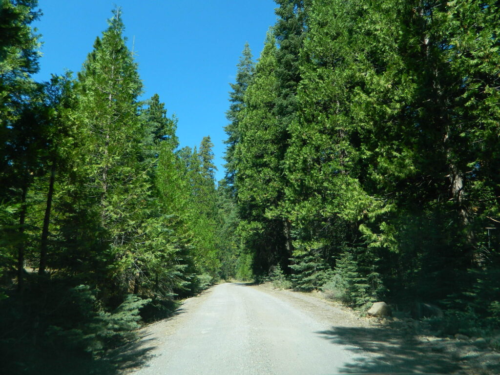
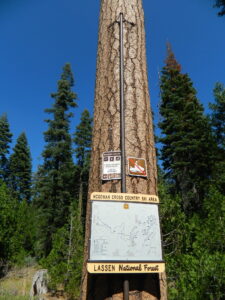

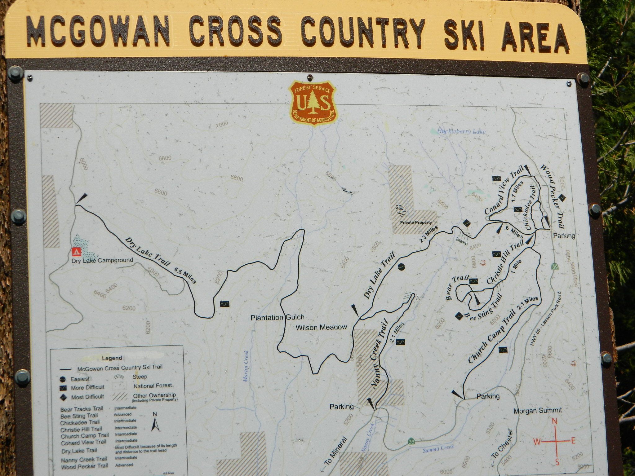
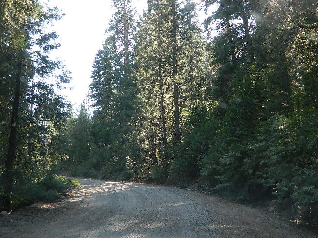


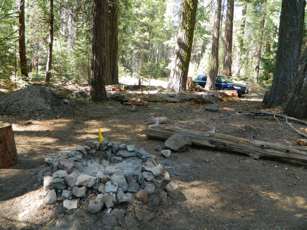
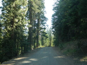

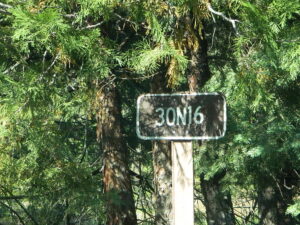

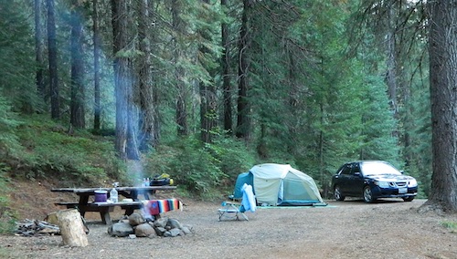
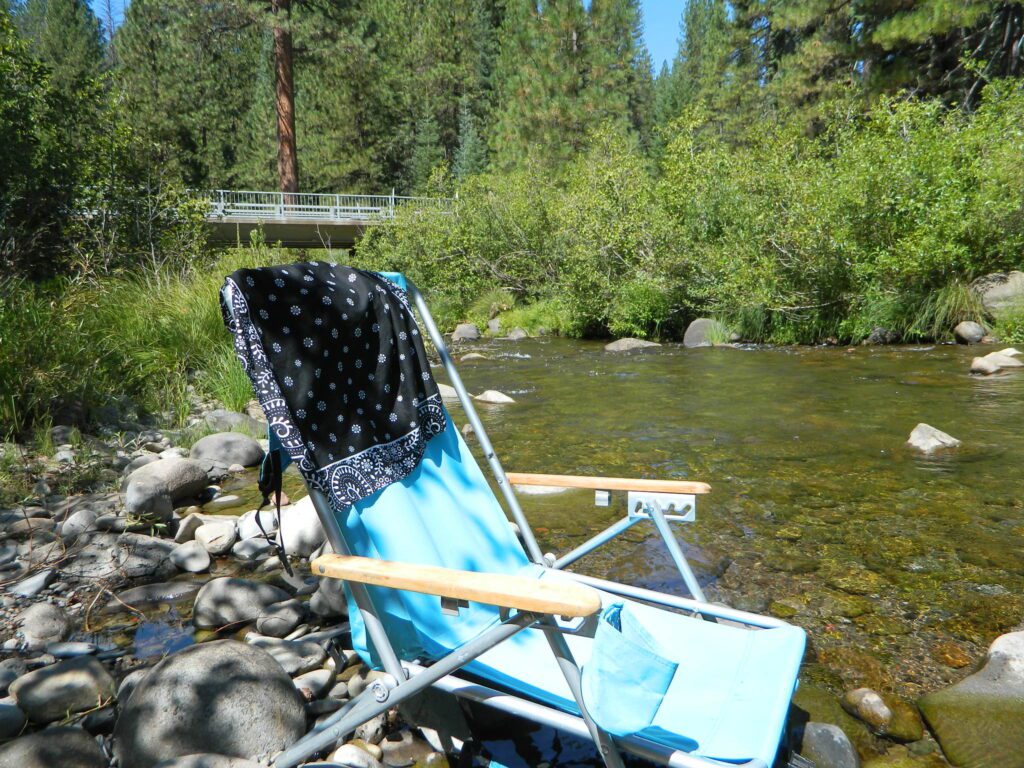
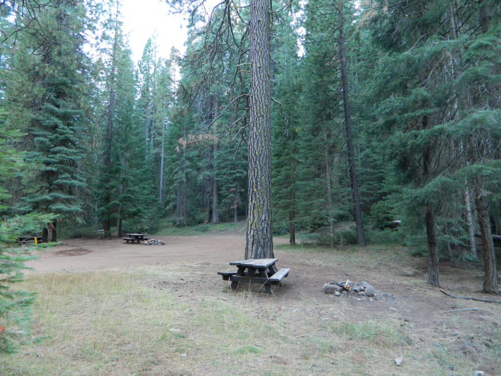
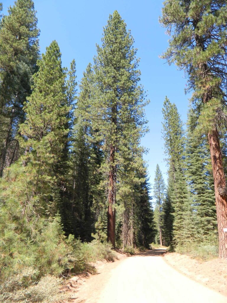

 Only two campsites on north side of bridge, and the rest are on the other side of the river. Algoma Bridge may be closed, so you can park and walk across to reach the campsites. Call ahead to find out current conditions.
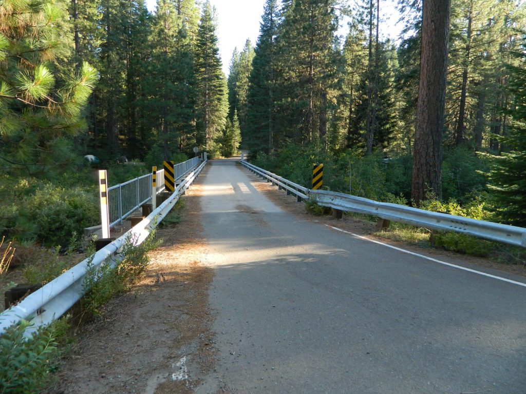


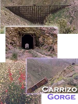
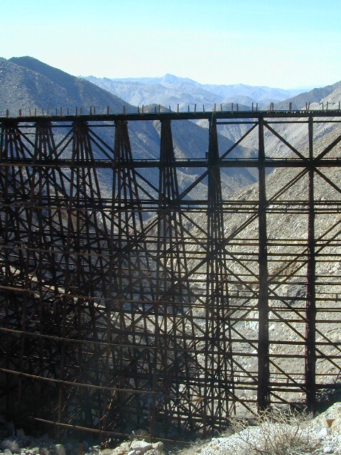
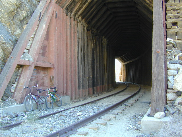

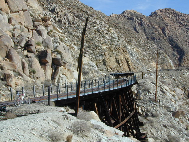
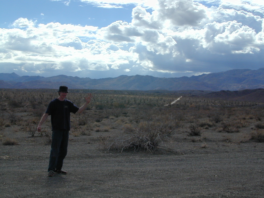
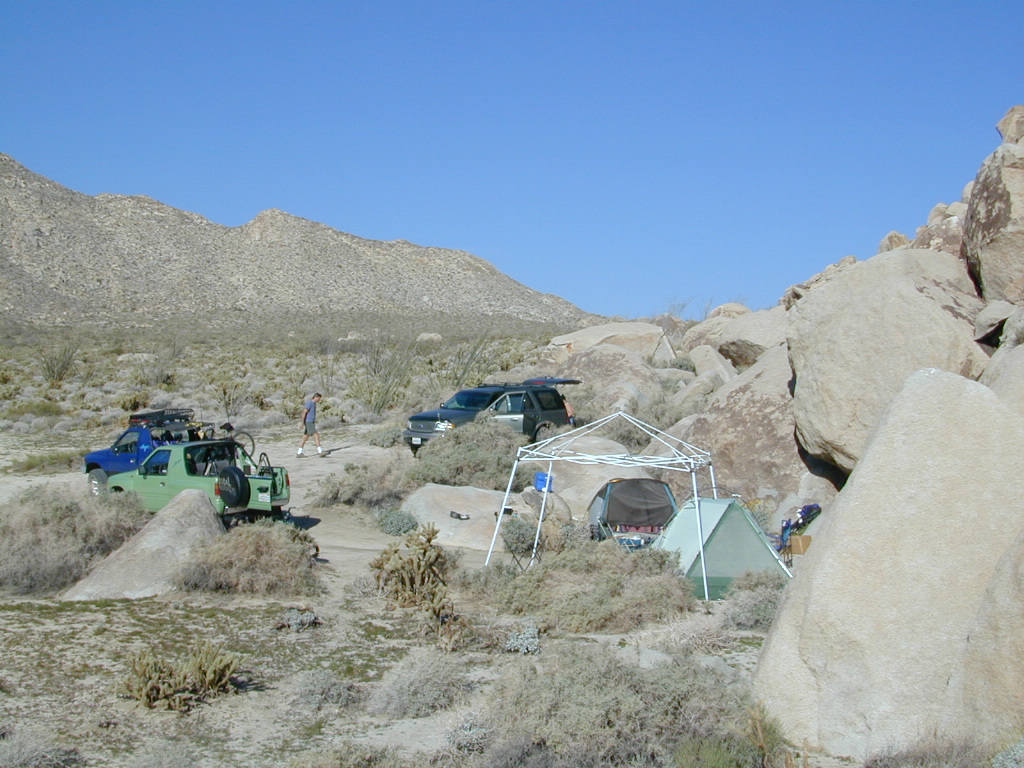

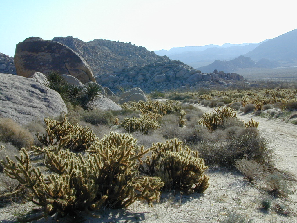


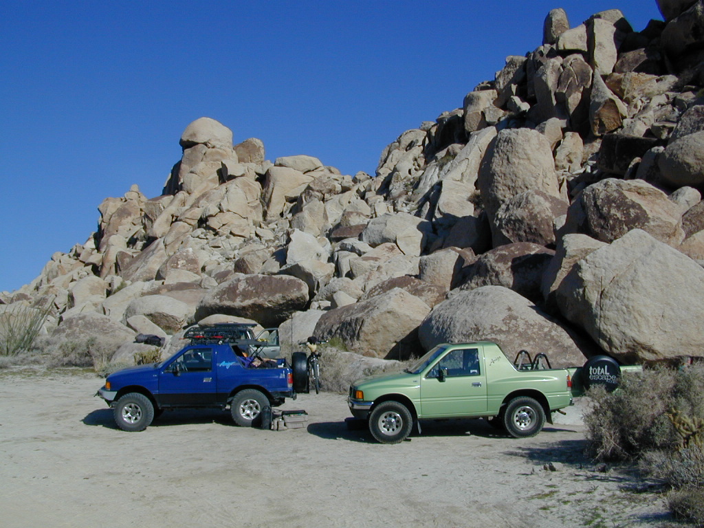
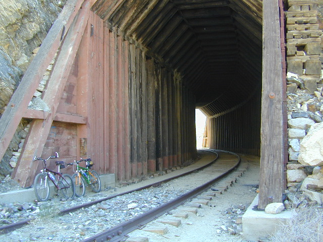
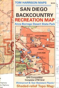


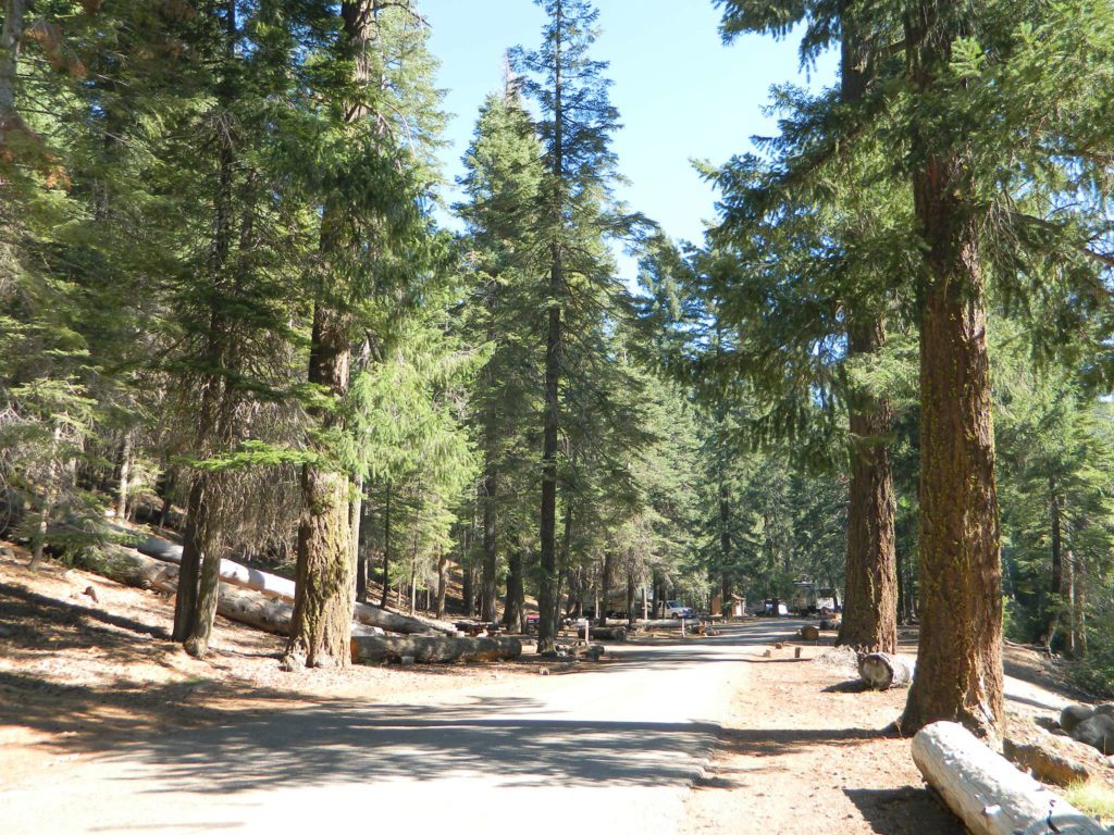
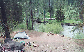 Mount Lassen is part of the Cascade Mountain Range, located north of the Sierra Nevada. The Lassen forest encompasses a large area of wilderness land, snowmelt creeks and an abundant dirt road system. Most of which is covered in deep snow about half the year, so plan accordingly.


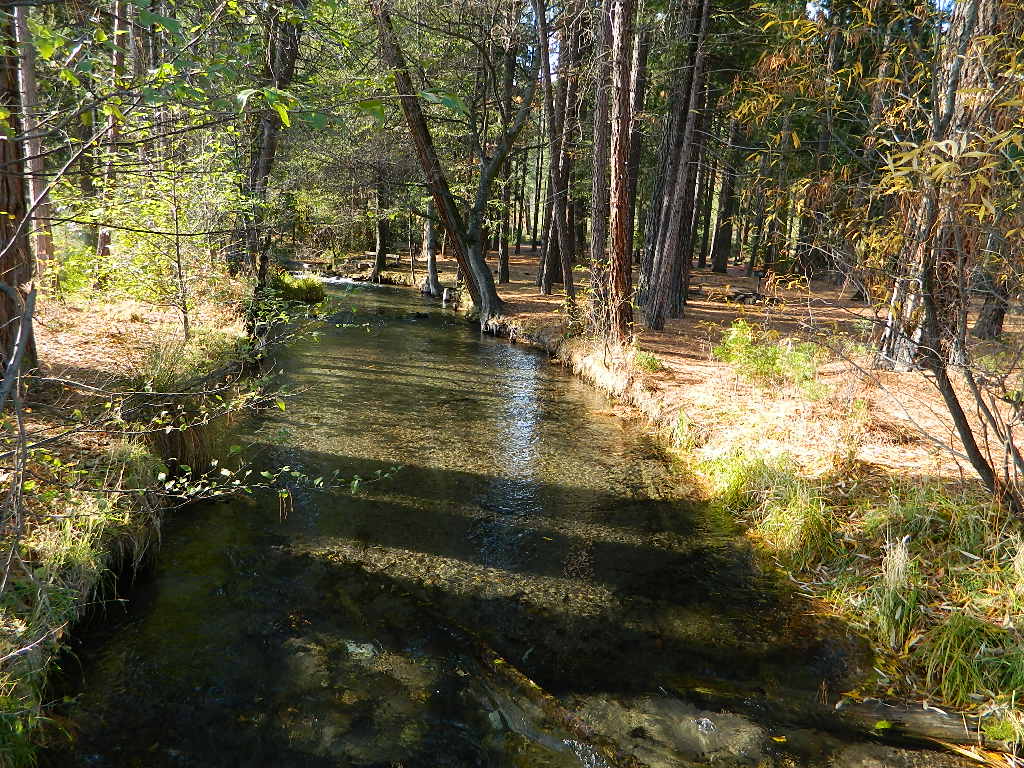
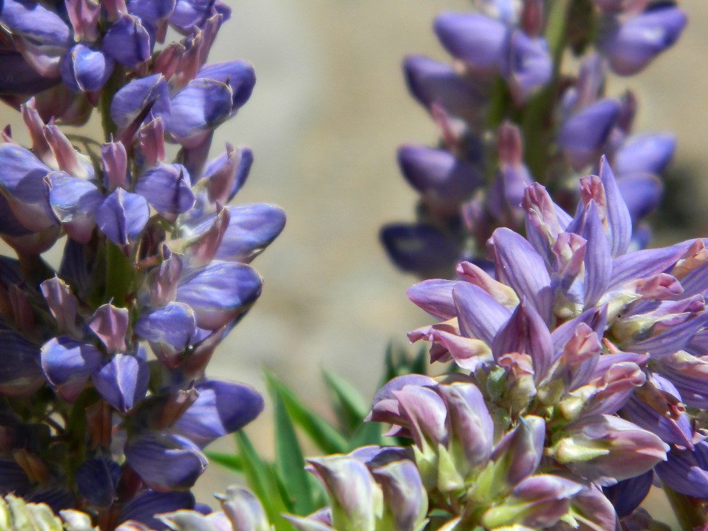
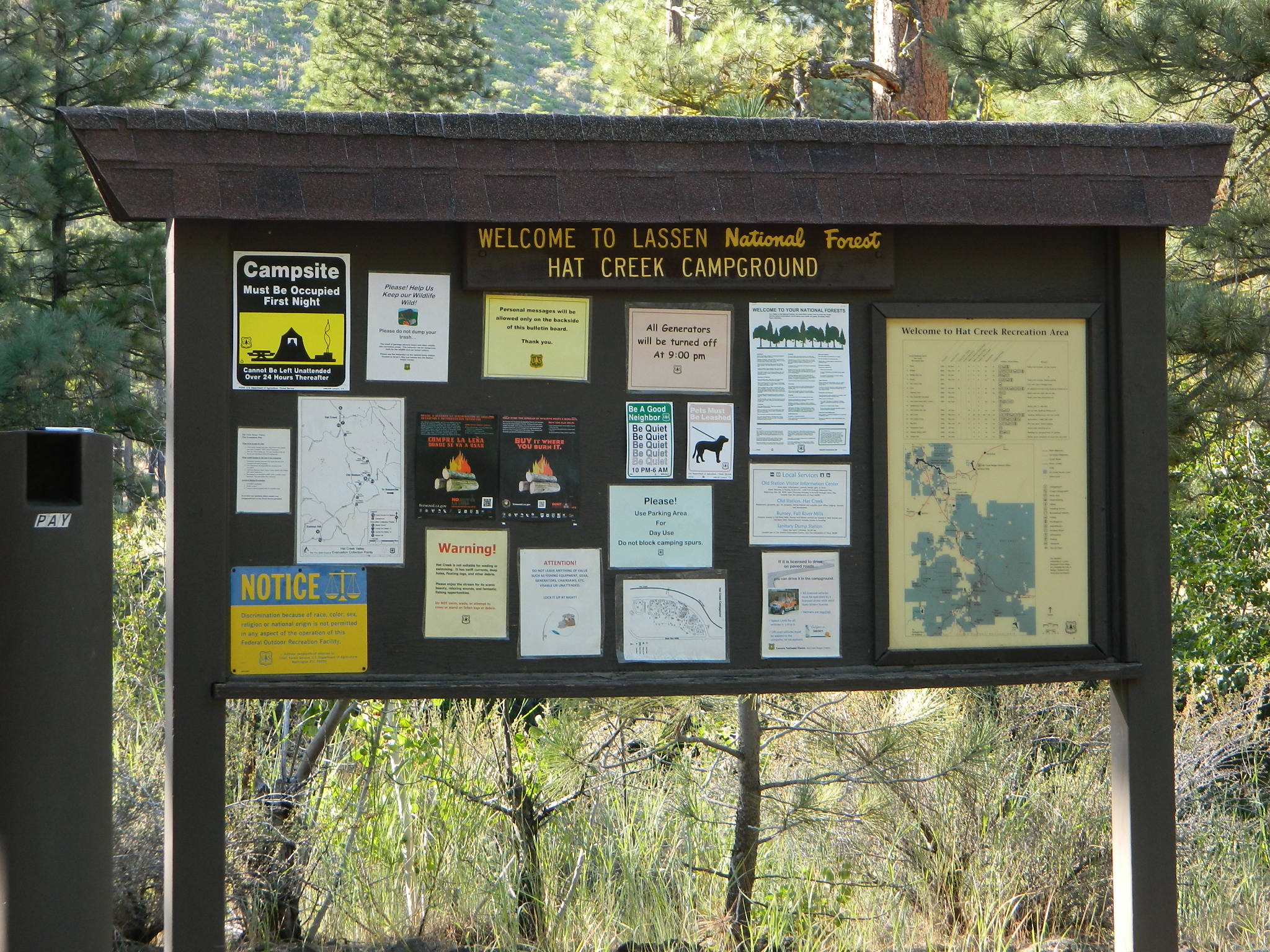
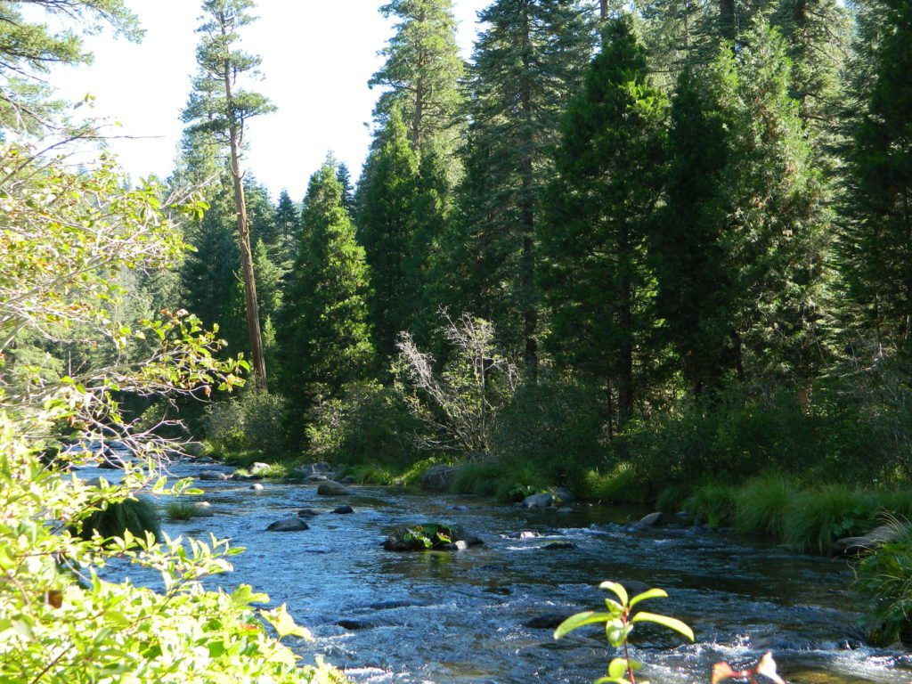
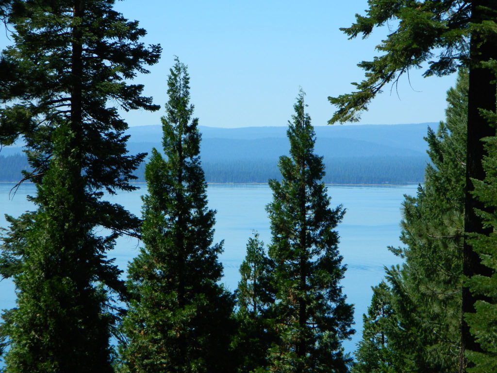
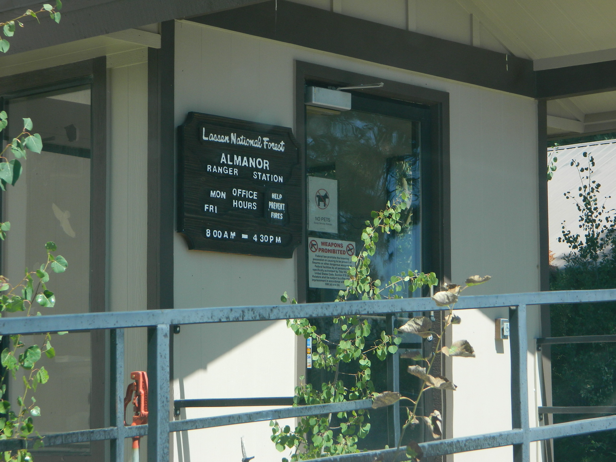
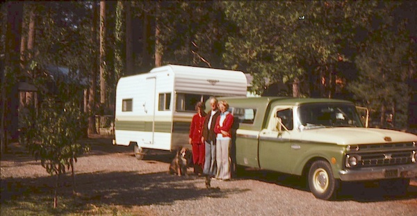


 No facilities such as toilets or showers. Maybe a picnic table & fire rings, if you’re lucky. Southern California
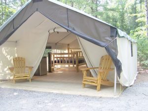 Rentals typically include sleeping cots, but you’ll need to bring your own bedding (sleeping bags, sheets, pillows). Some rentals include shaded porches, wooden decks, minimal furniture, kitchenettes and/or wood burning stoves. Electricity may be available, or maybe not. Ask ahead of time, if you really must have that particular luxury when on vacation.


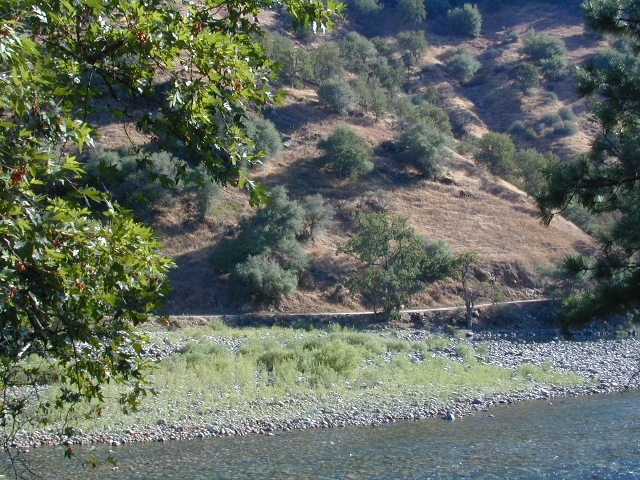

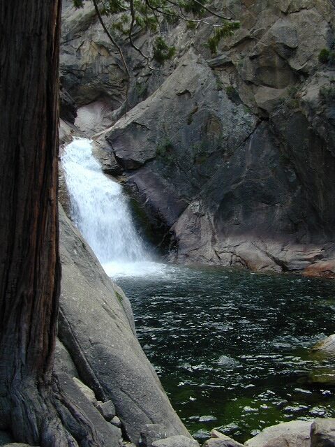


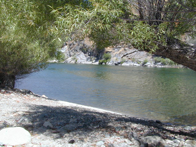

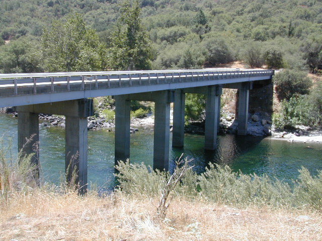
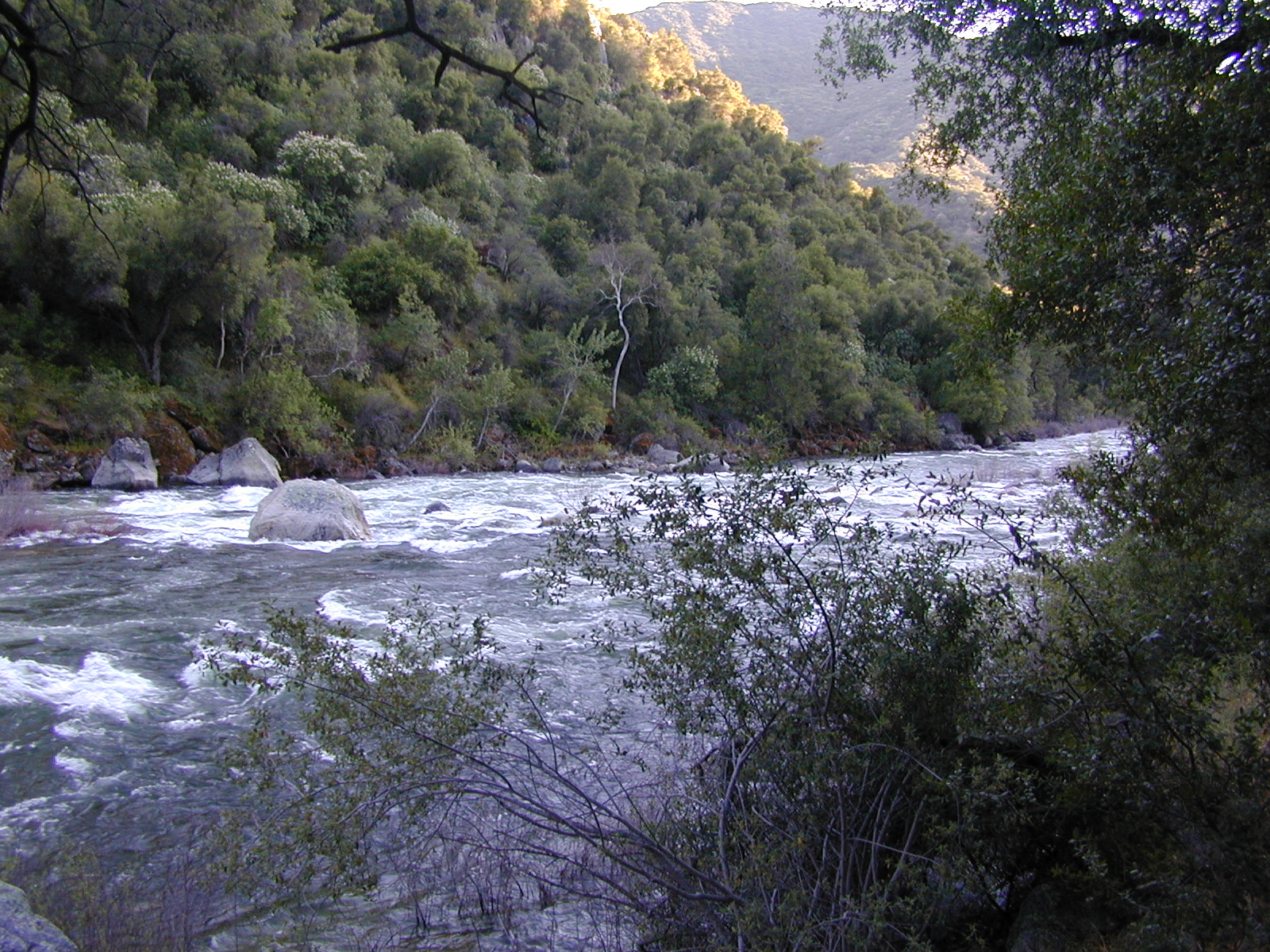
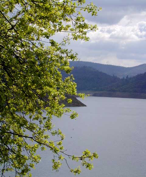

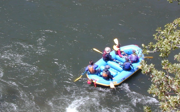


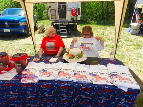
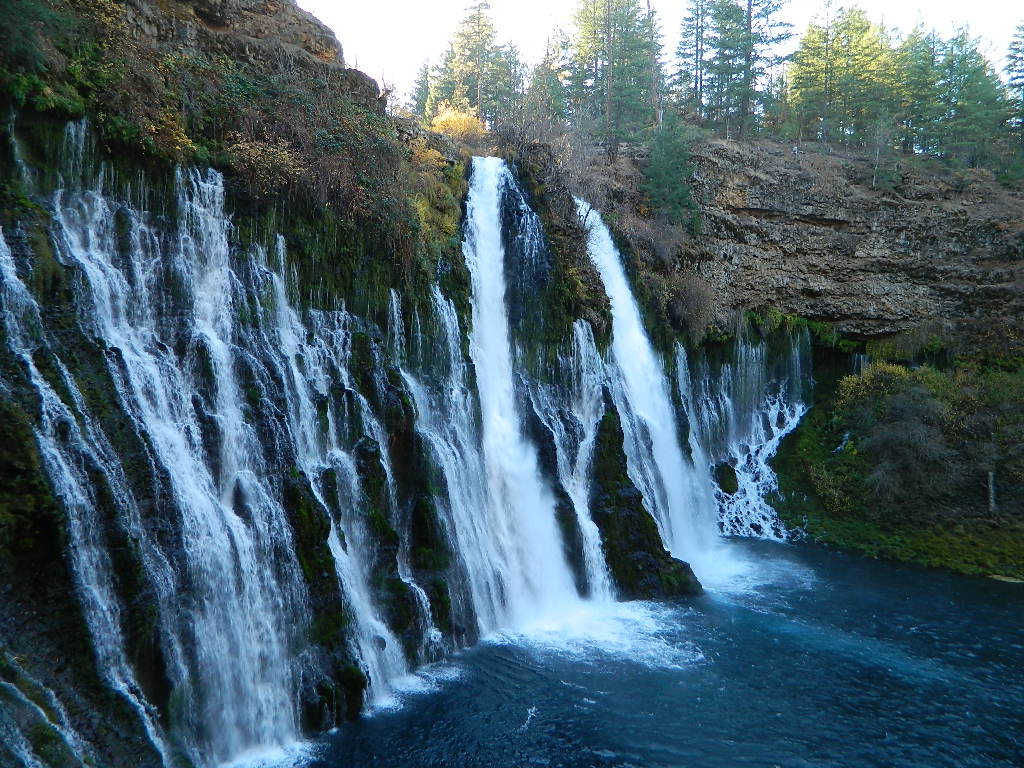

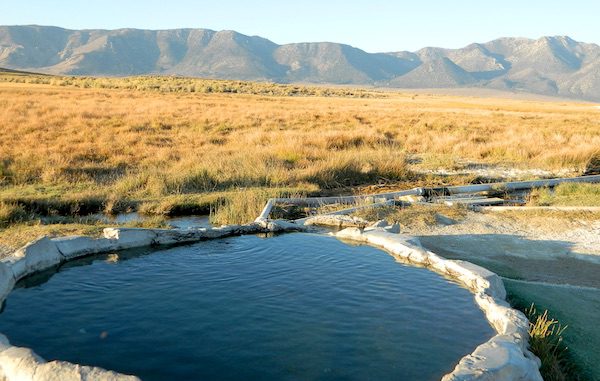
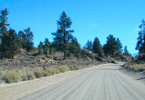
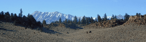
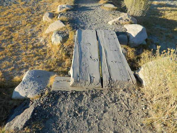

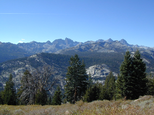

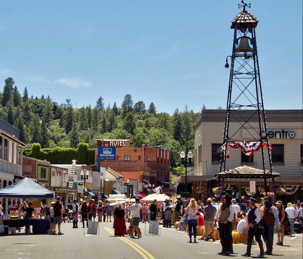
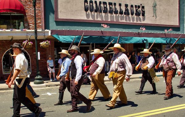


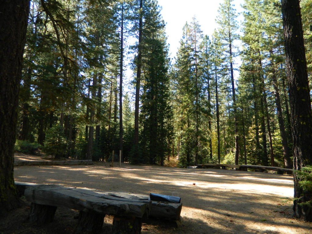
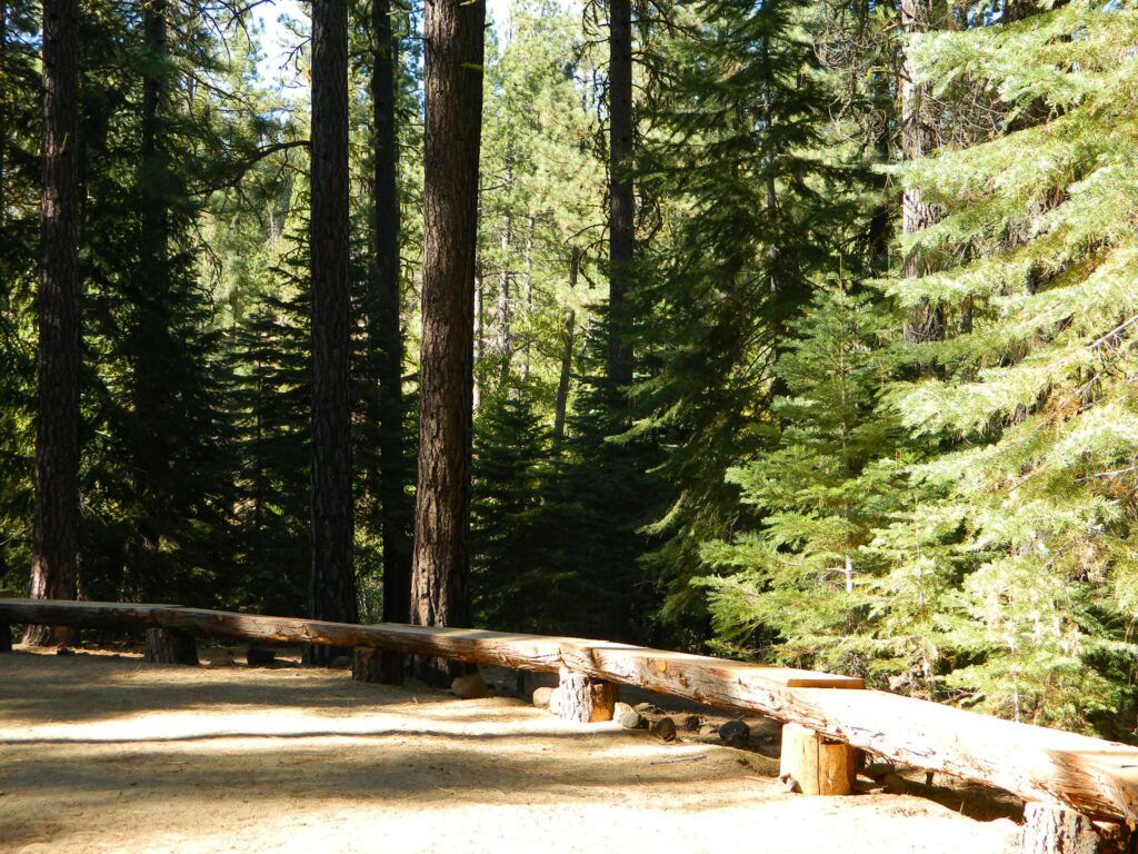
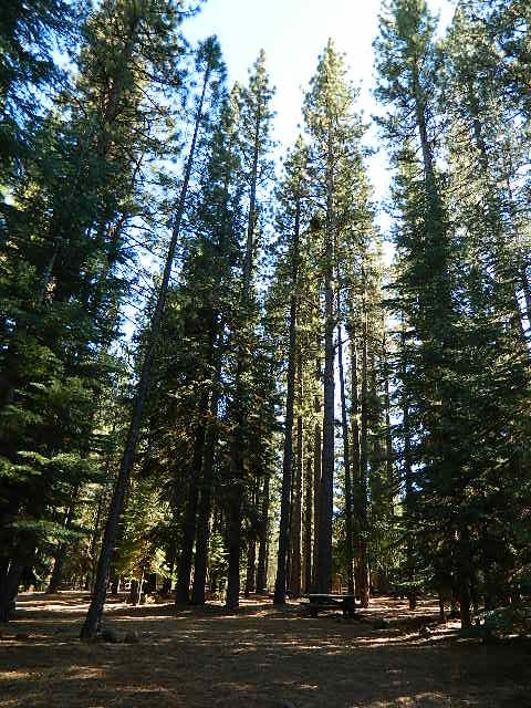

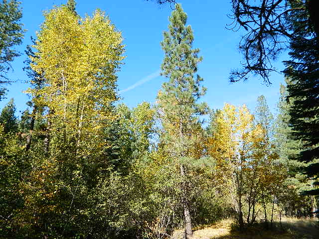


 A few developed campgrounds exist along I-5, but who really wants to camp out and listen to the freeway traffic? This route is a skinny dirt road, leading out to small remote campgrounds, often visited by off roaders. No facilities and no running water; you’ll be lucky if the picnic table isn’t shot up. Simple, bare bones, middle of nowhere for
 Wildflowers bloom in April, and will need a decent amount of winter rain/snow to display the vivid colors. This area is not too far from the
  nearby destinations:
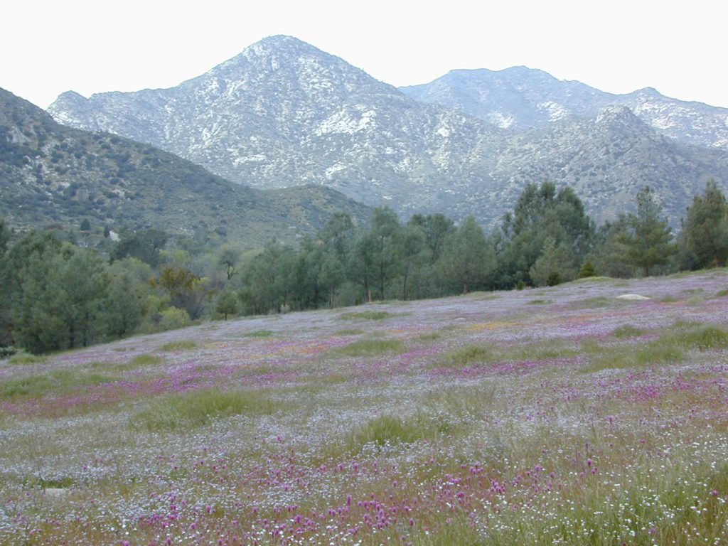


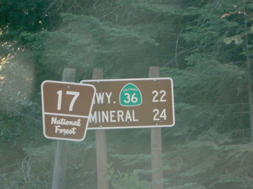


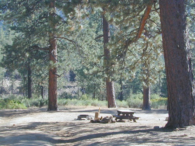


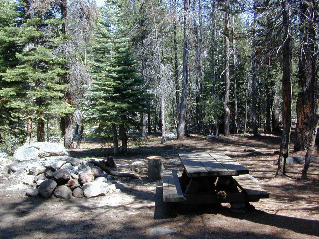
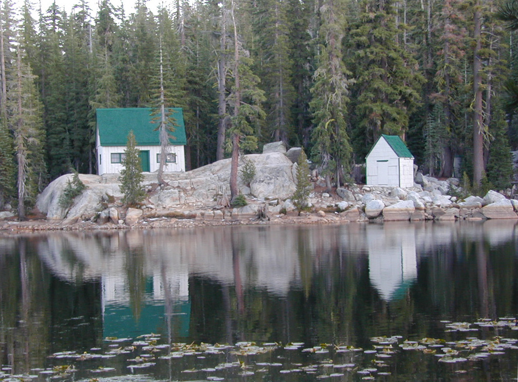
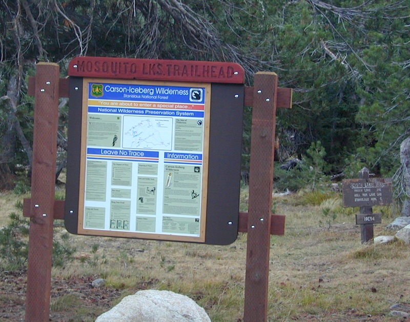


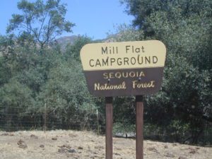

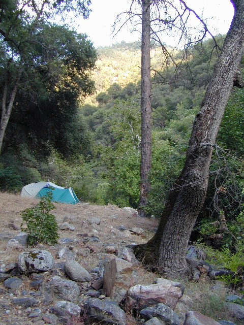
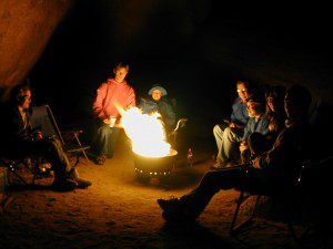

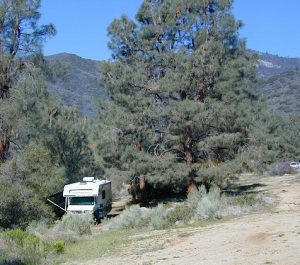


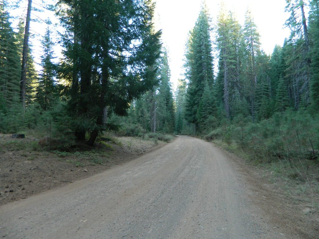


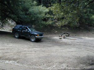


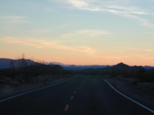


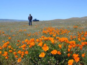


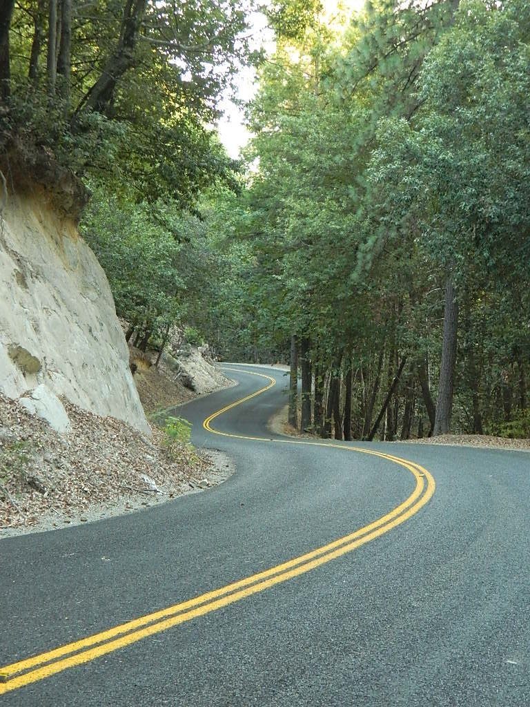


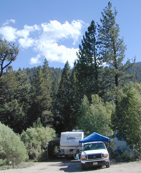
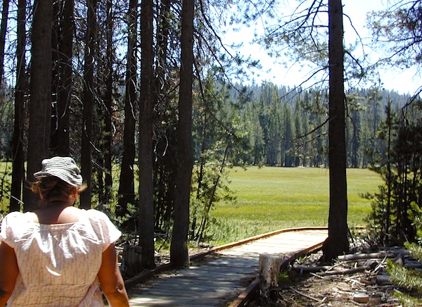

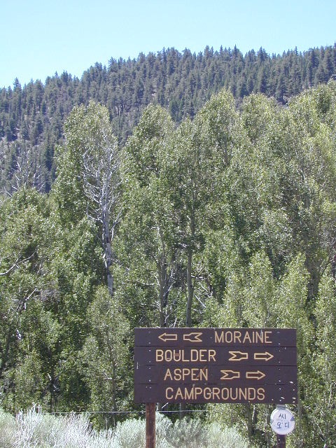


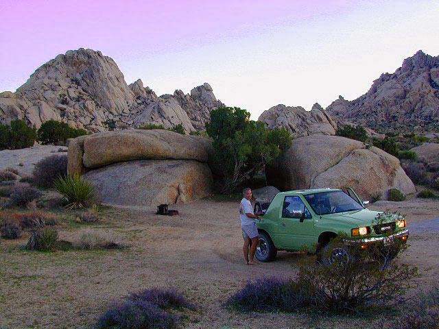
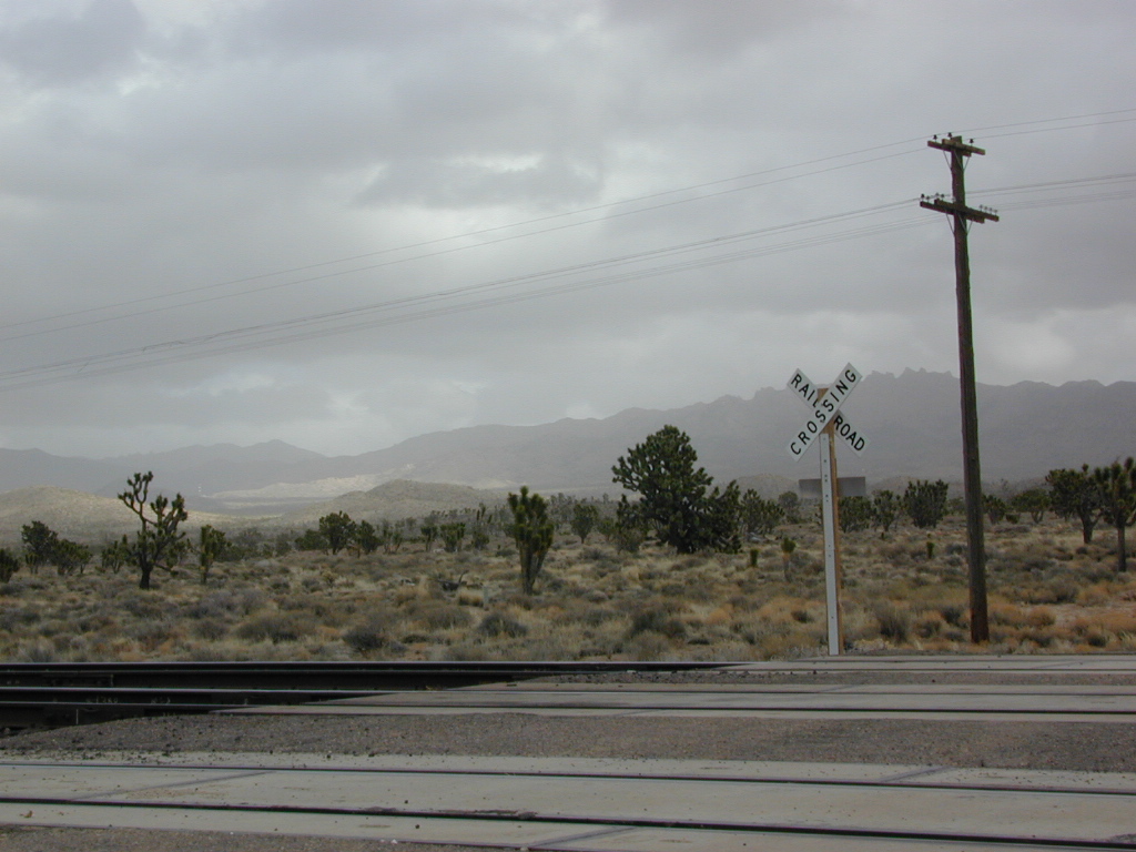

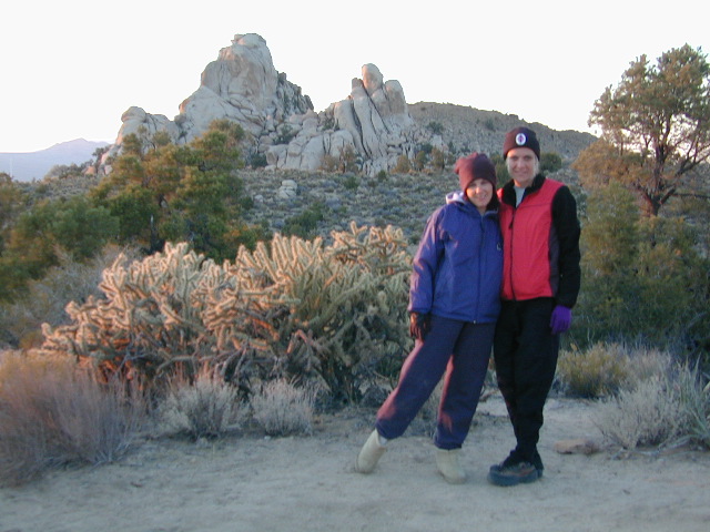


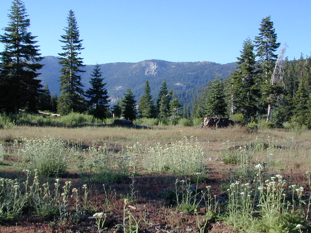

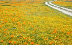
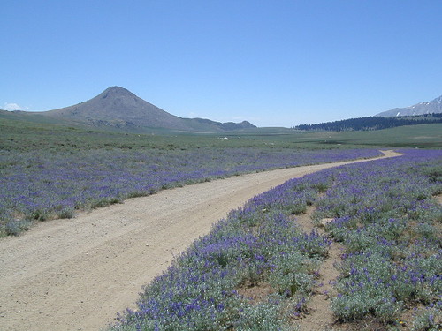


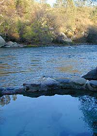

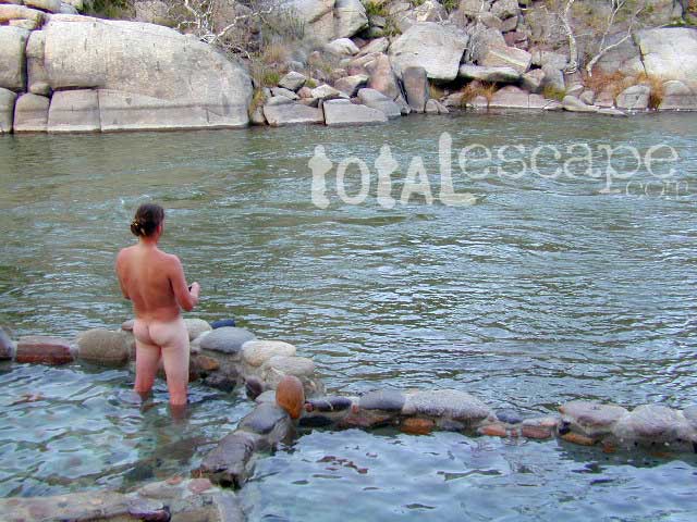
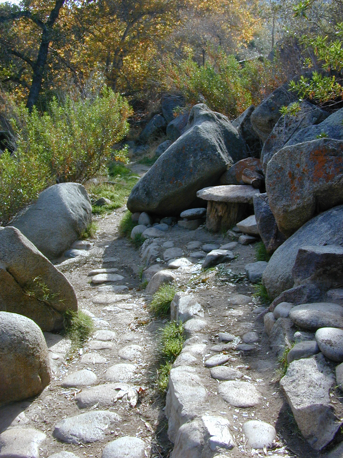


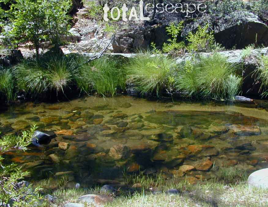

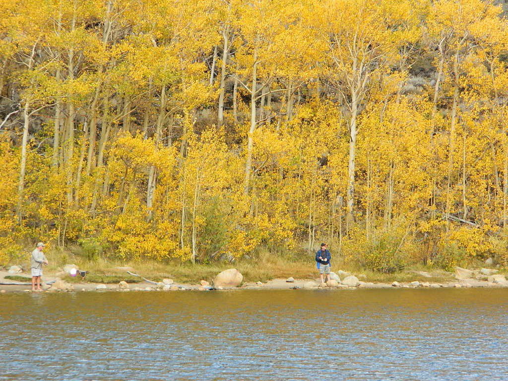


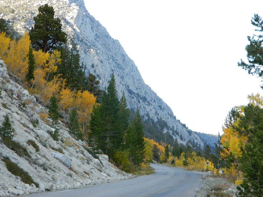


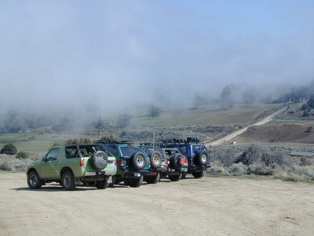
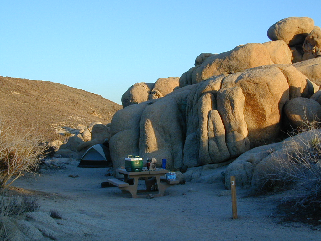
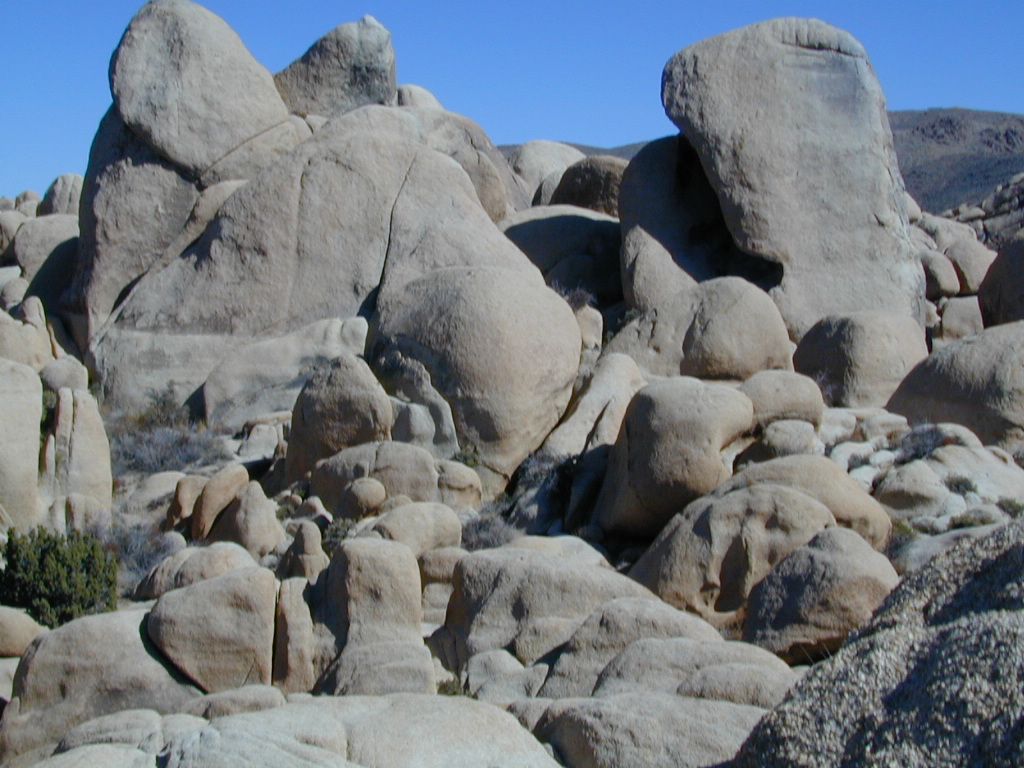
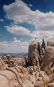
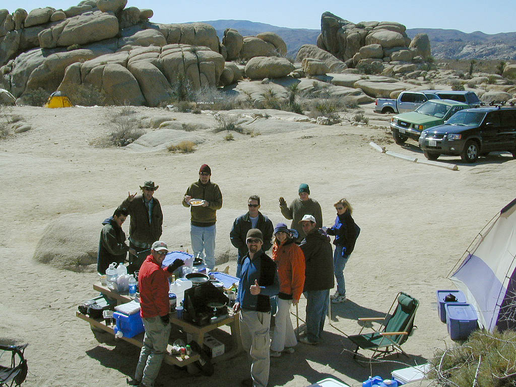


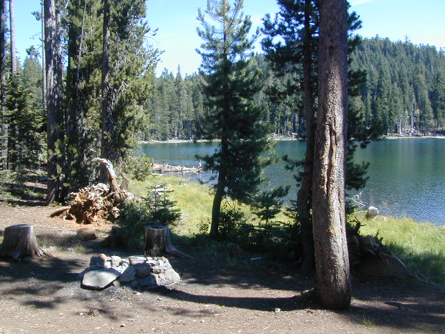
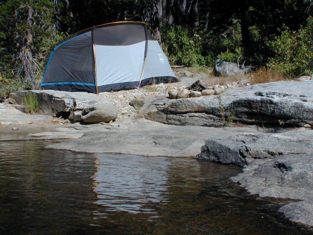
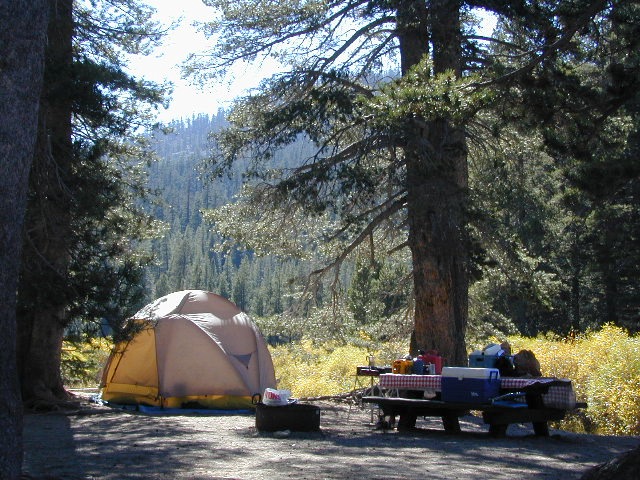
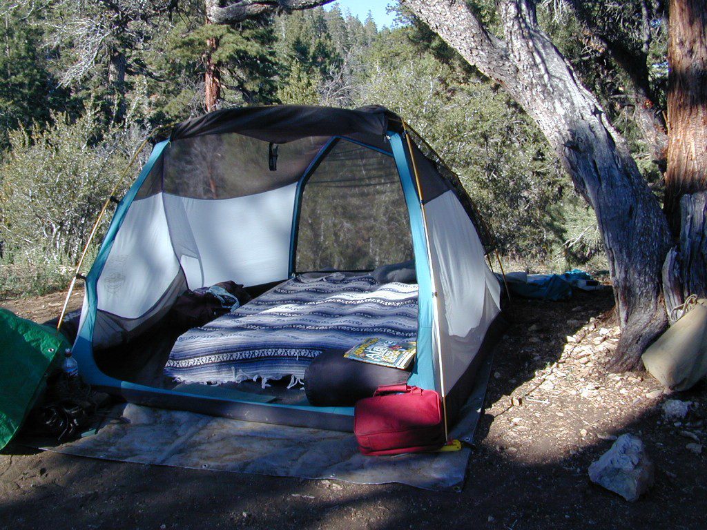
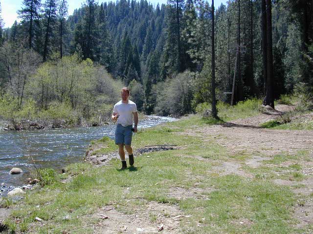
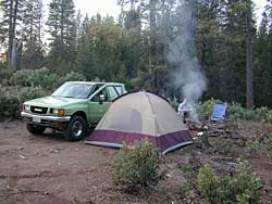
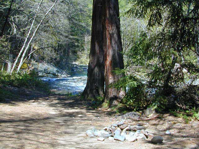
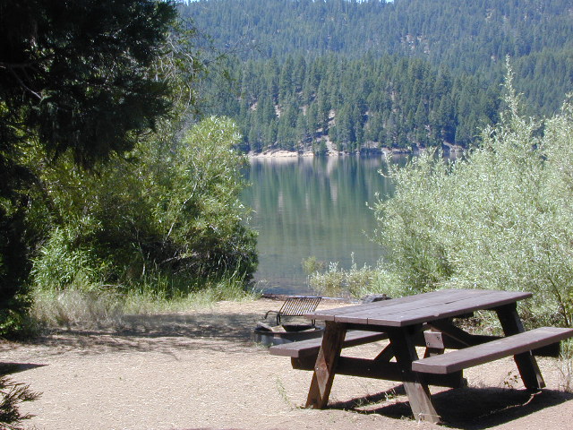


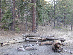

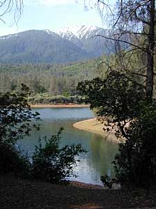

 Desert Slot Canyons – South
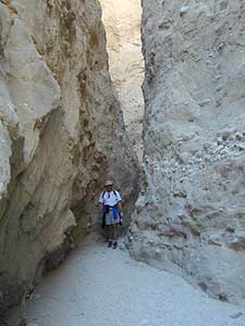
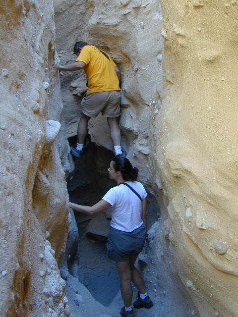
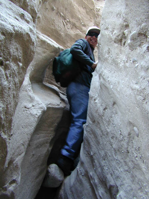
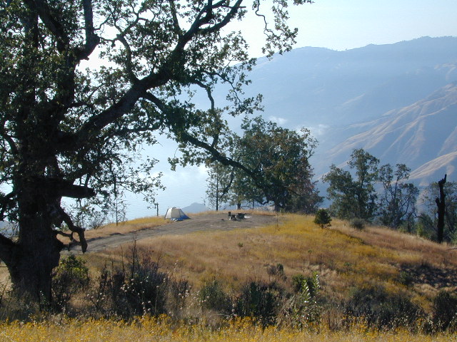
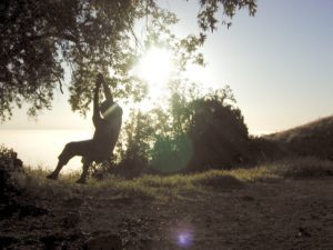
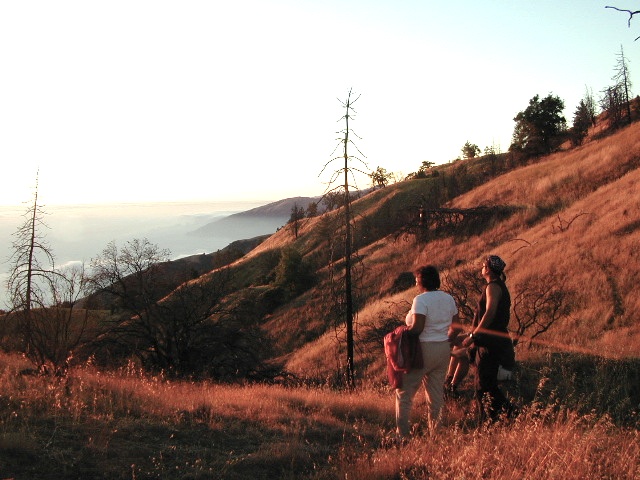

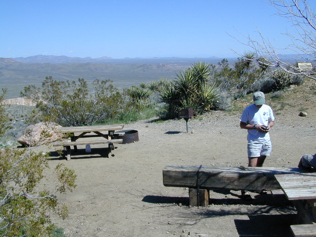
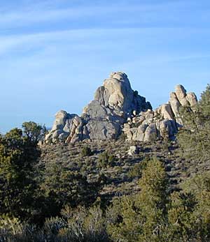 Mitchell Cavern. Campground is perched on rocky hill overlooking desert.
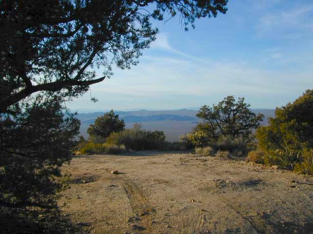
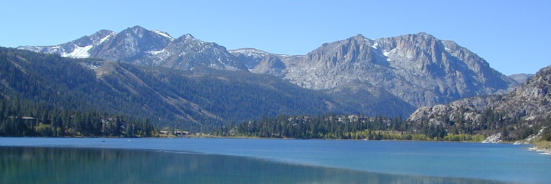
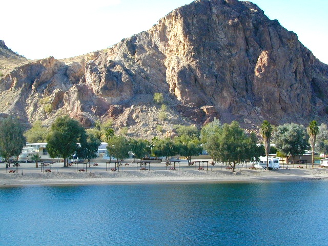
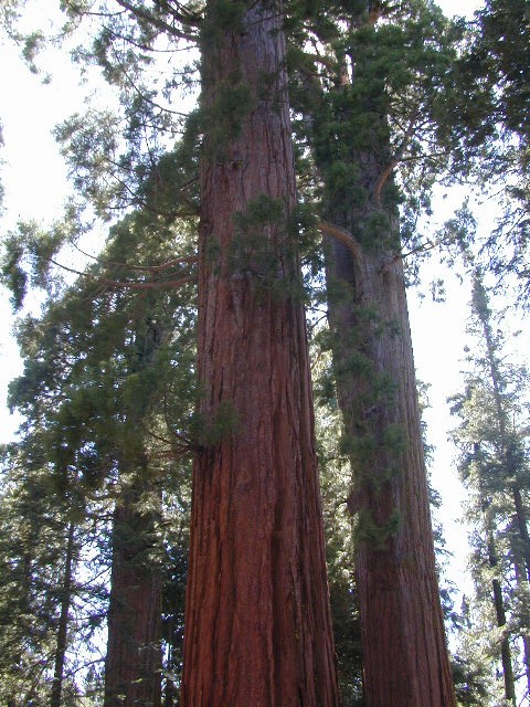
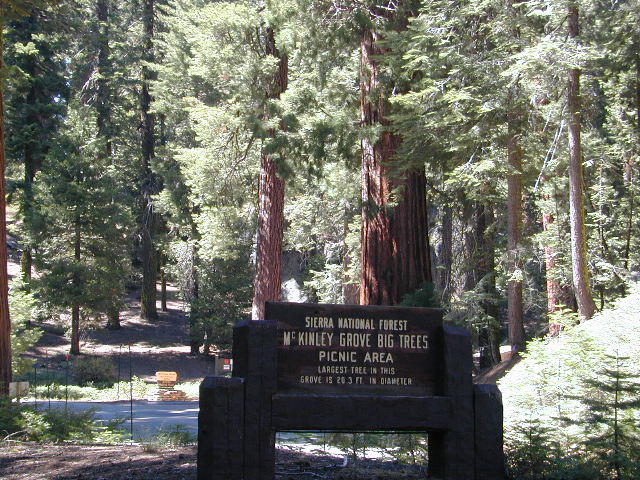

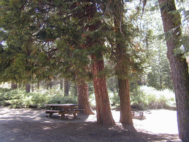
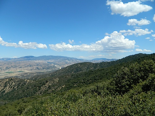
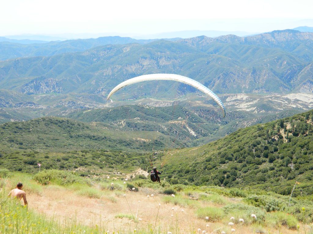
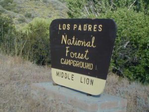
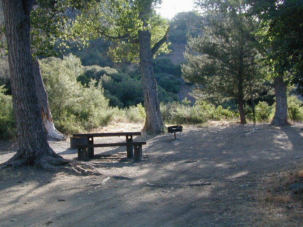
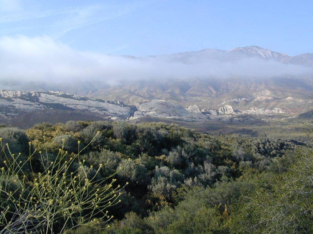
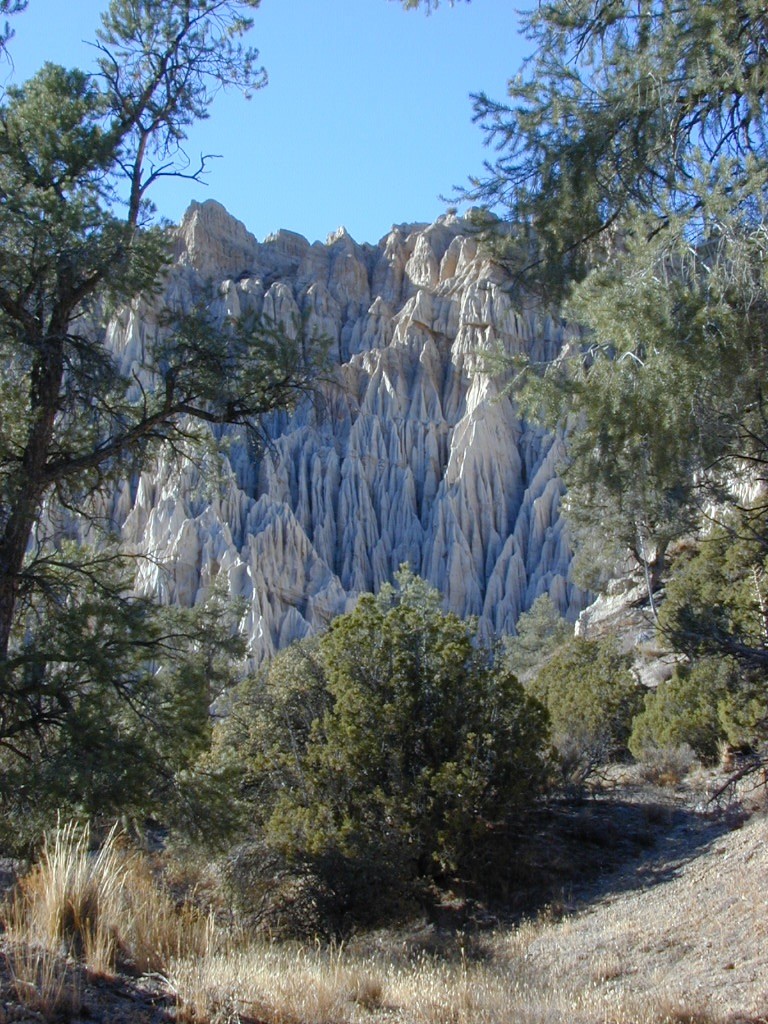


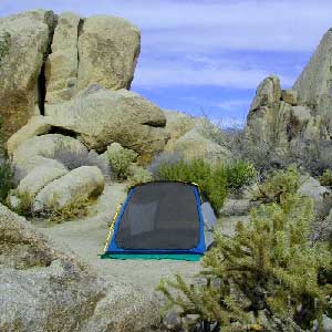

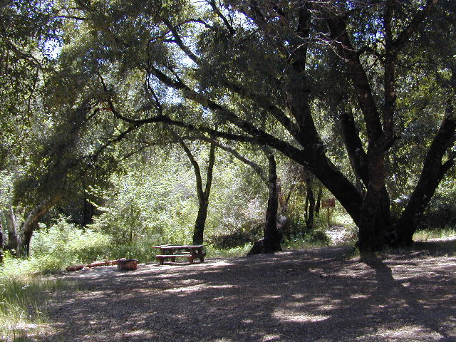
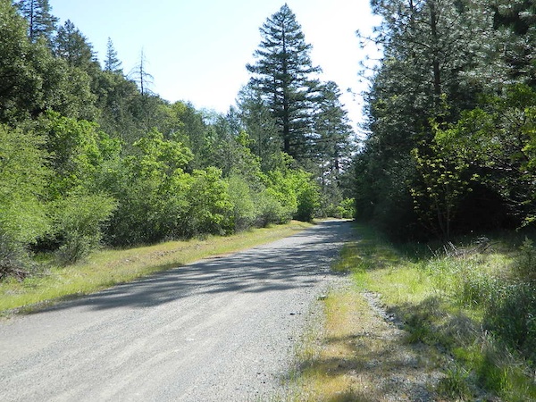
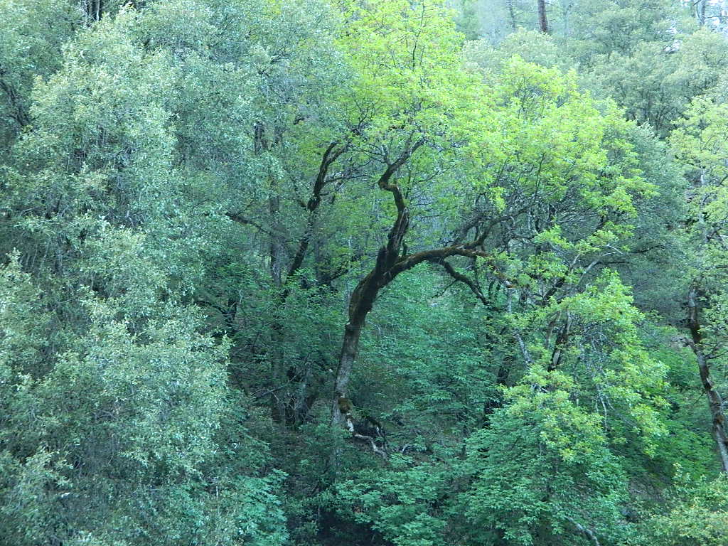
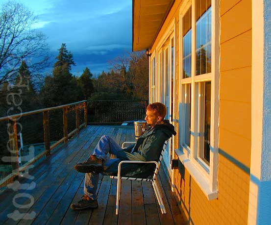

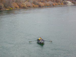
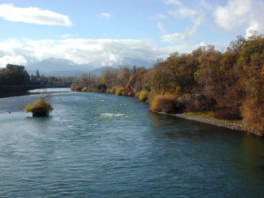
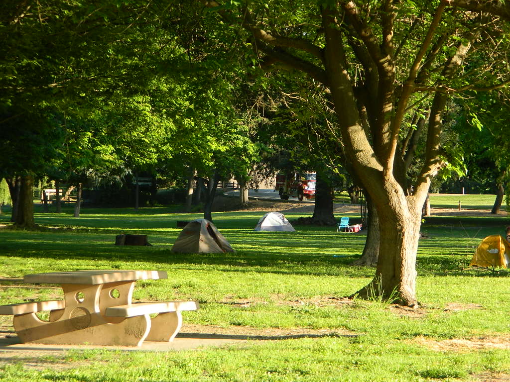


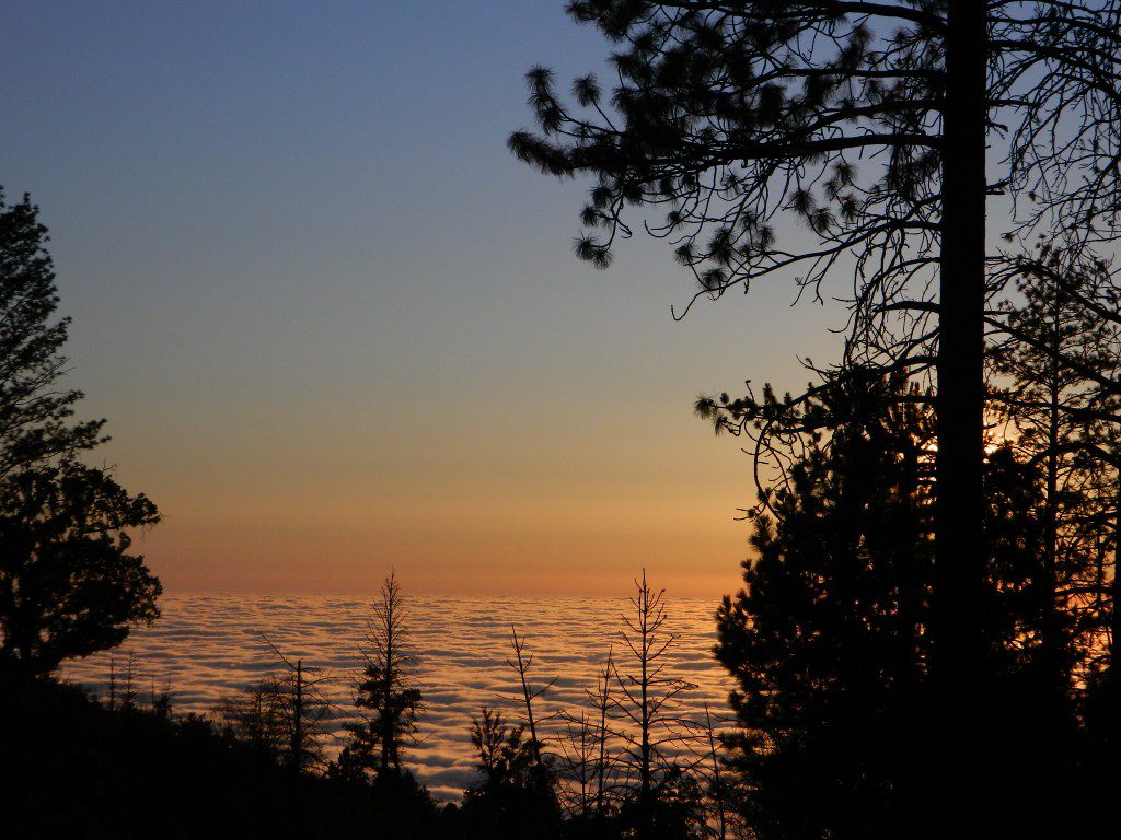
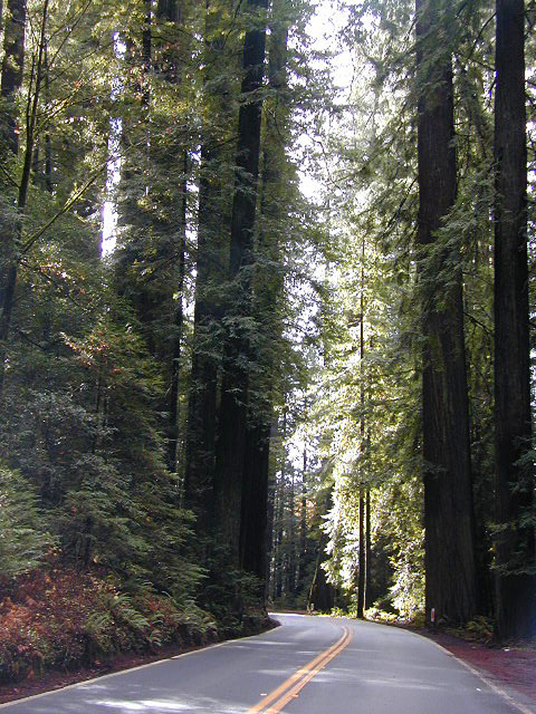
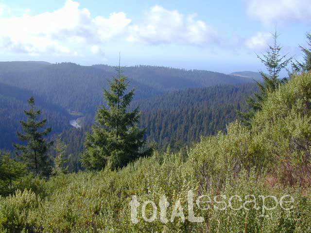


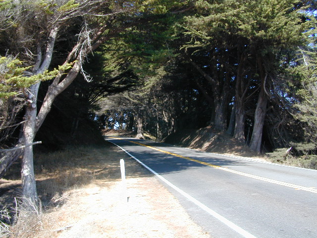
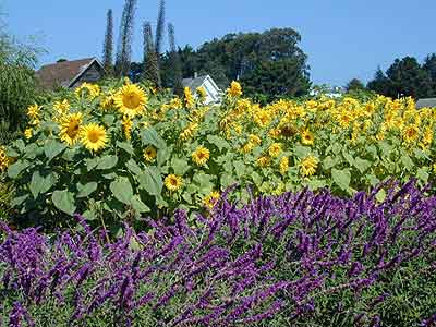

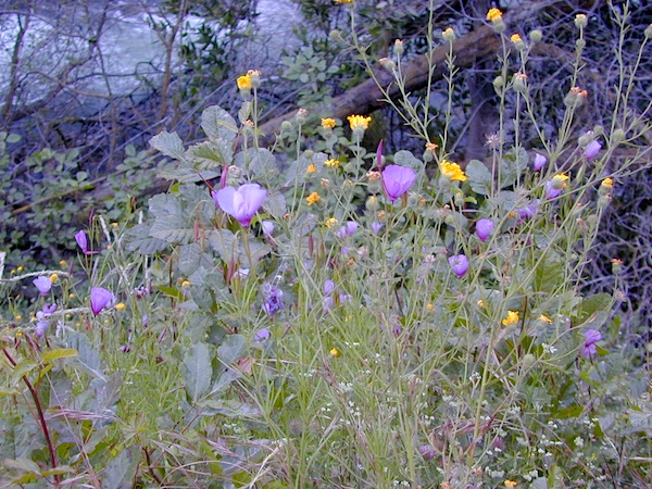
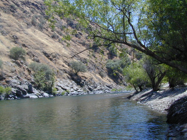
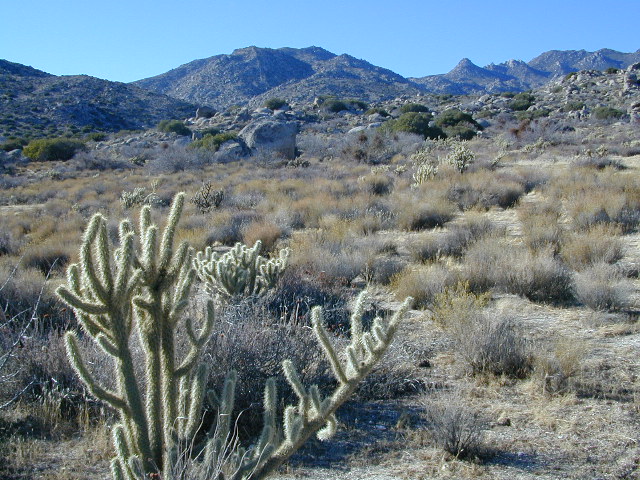
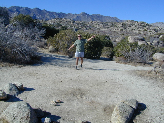


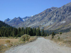


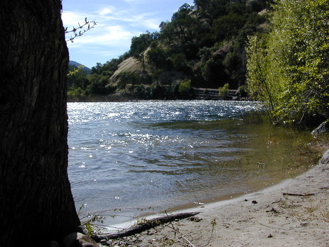
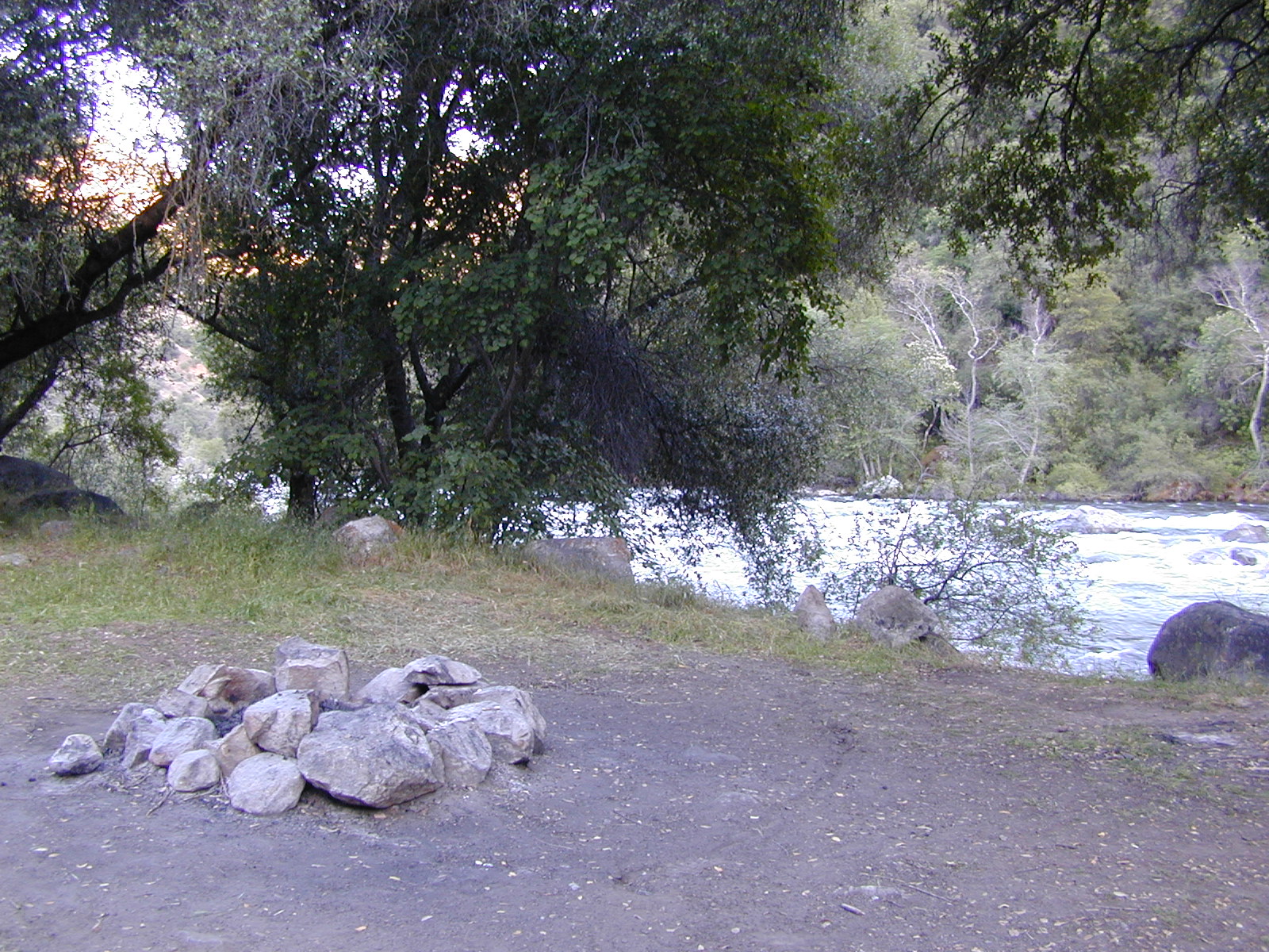
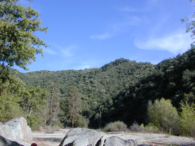


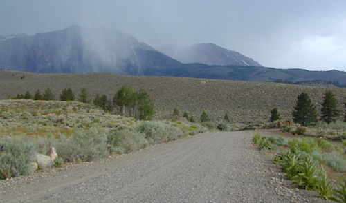
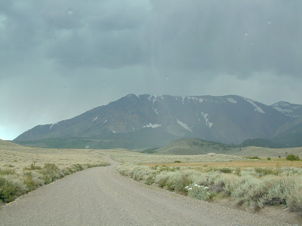


 SDBKCO Recreation Map


 If you are fed up with city life, sitting in traffic & need to vacate your mind among the barren hills of California (if only for a weekend), then Total Escape is your place. You seek solitude, peace, maybe a mini tailgate party & BBQ on a dry lake bed, with the heavenly stars above. Imagine the warm camp fire light reflecting off the high canyon walls, your music echoing, moonlight hikes for a few miles.
 or C as a backup idea.
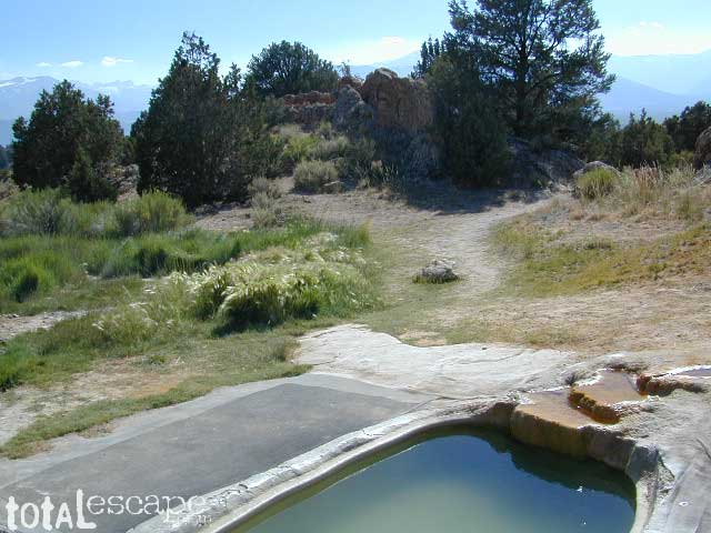
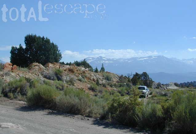
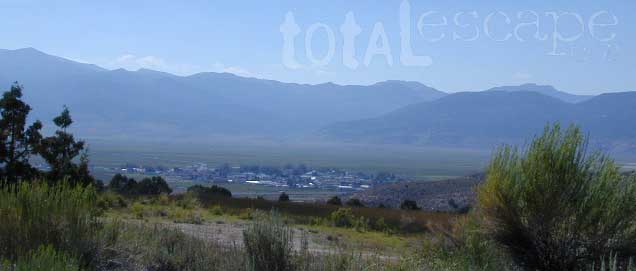
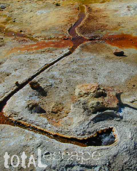


 The north coast of California is dubbed the Redwood Empire, and driving north on US Hwy 101 passing the well-known wine country and communities near Clear Lake, means you’ve entered the official redwood region of Cali.


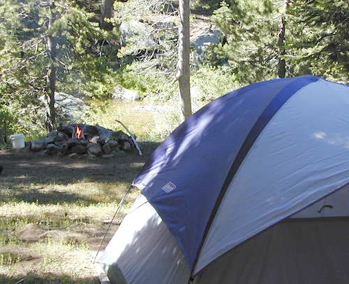

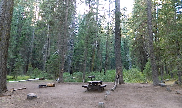
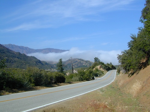
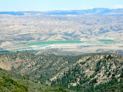


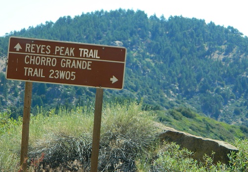
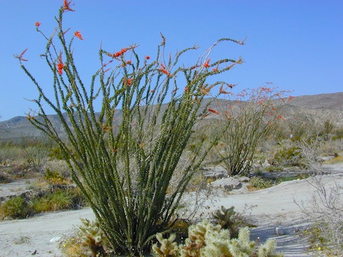
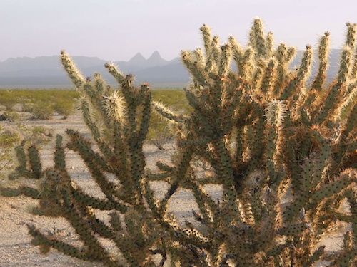
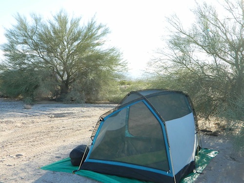
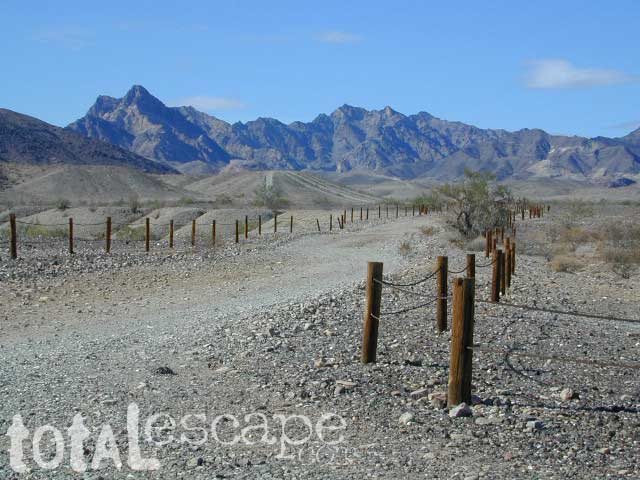
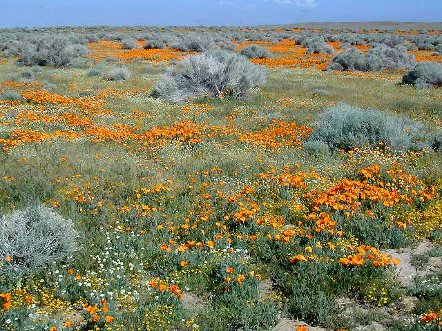
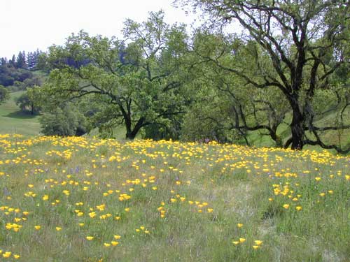
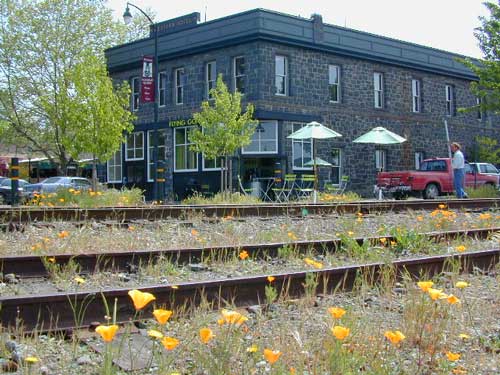
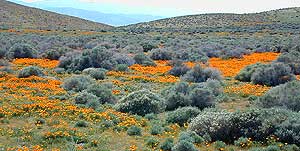
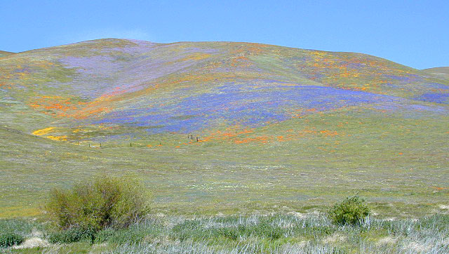

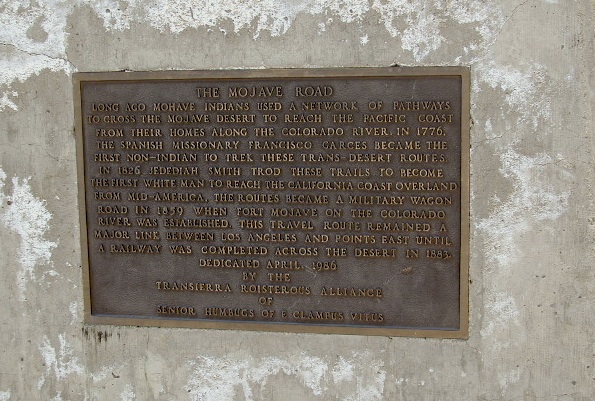
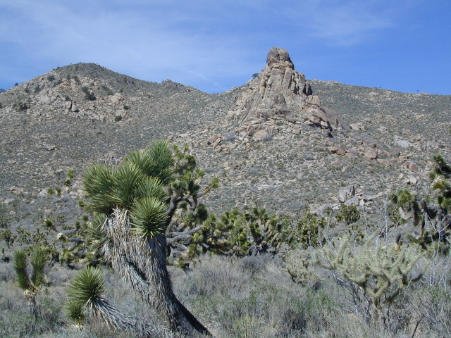


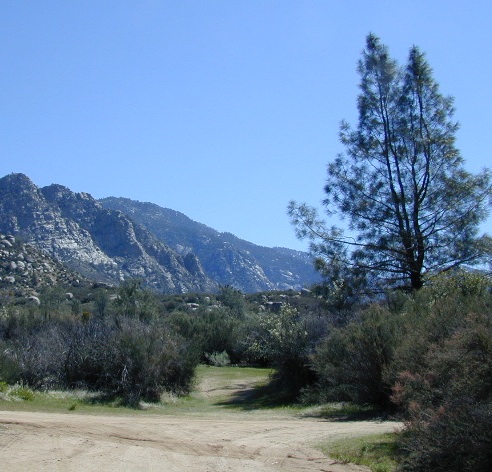

 WILDERNESS NOTE: The USDA National Forests web site states that “Camping and campfires within 25 feet of the water’s edge is prohibited due to the Wild and Scenic Designation”, but that doesn’t seem to stop some from setting up right on the fragile rivers edge. Doubtful that this rule is being enforced by the rangers, but consider yourself warned unless they start to get serious about this restriction. Many believe that the free camping along the Kern river is destroying it, so don’t be surprised if these areas get closed or barriers placed at the flats.
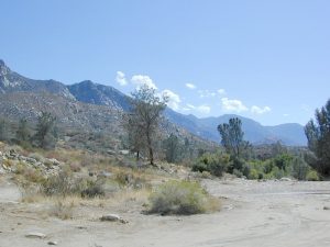
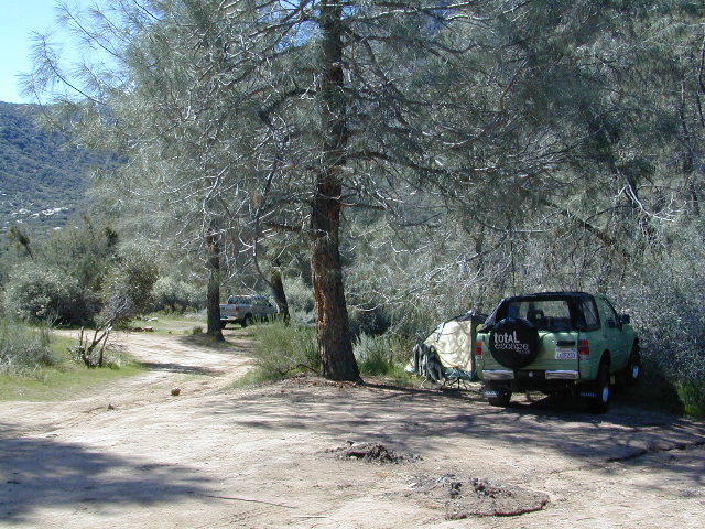
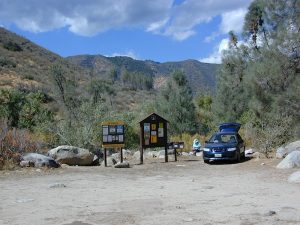


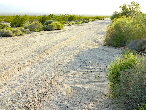


 If you’ve ever tried to travel across the state with a GoogleMap, YahooMap or MapQuest one page printout, you will soon realize the limitations. Stuck in a small town called Julian, at night, on Christmas Eve, arguing with your partner, trying to find your way over to Interstate 10. Not a good plan! A
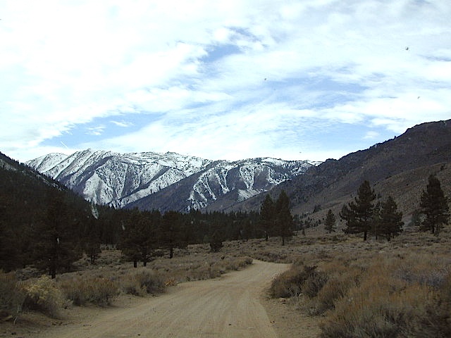
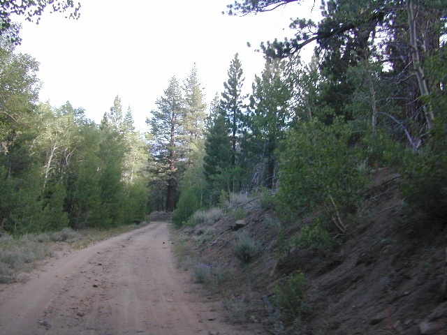
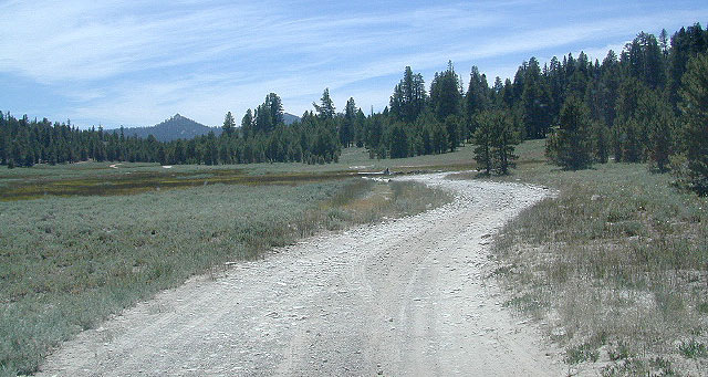
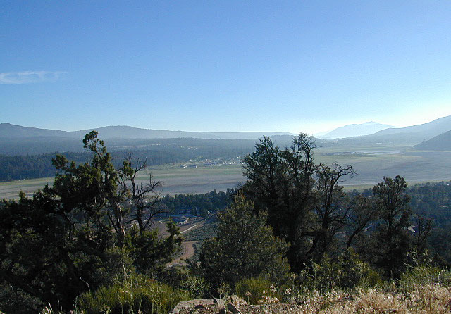
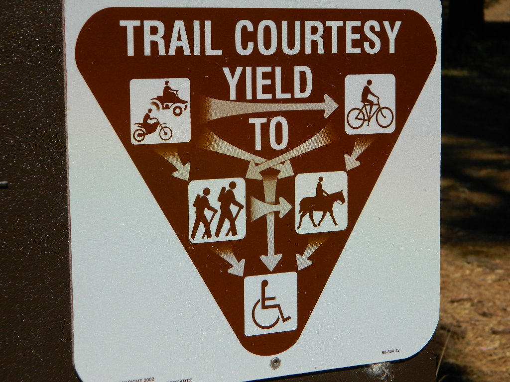
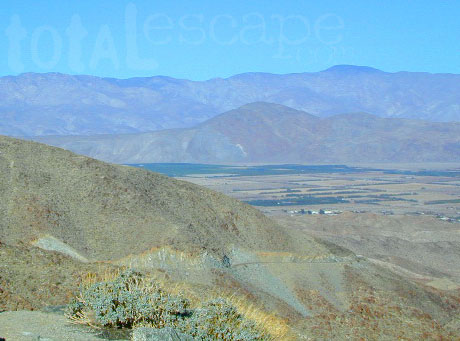
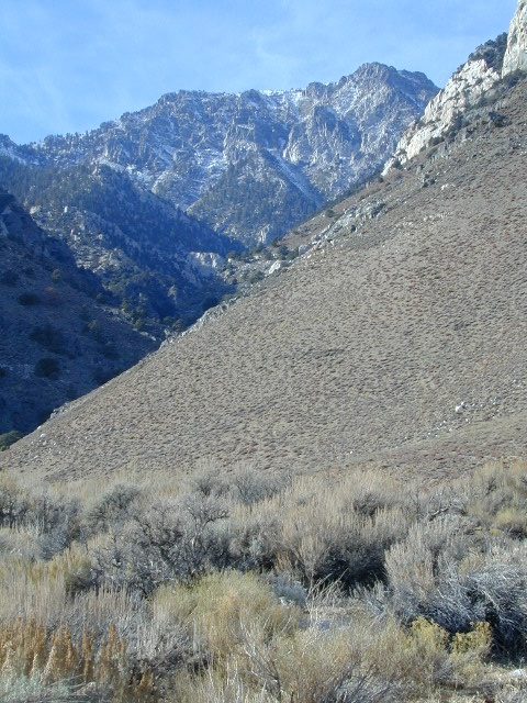
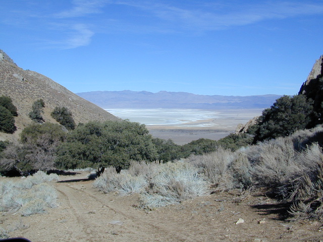
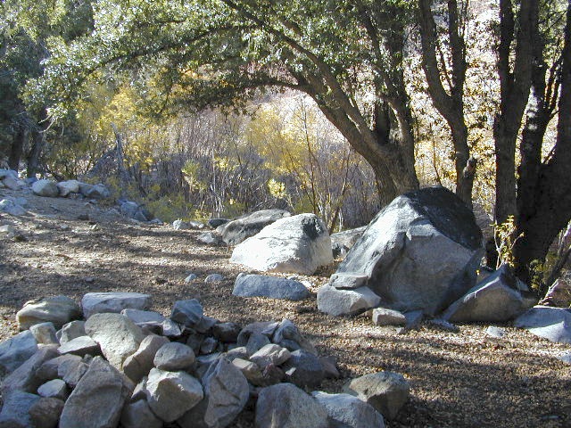
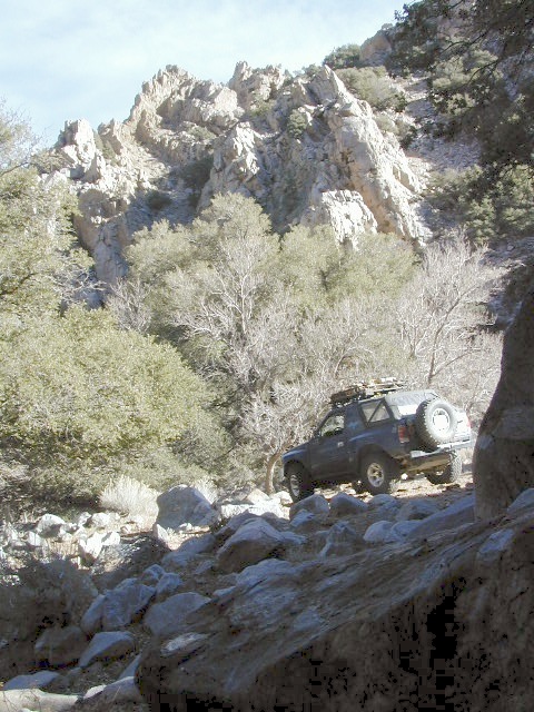
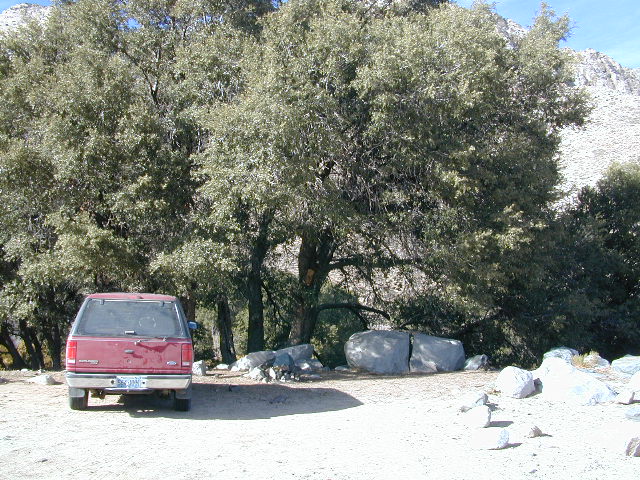

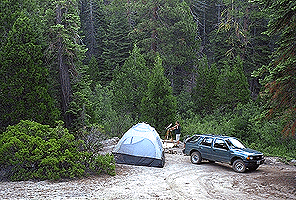
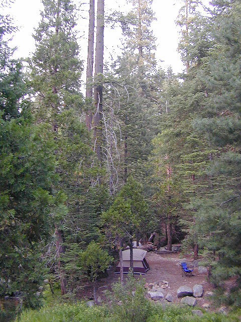


 The infamous Pacific Crest Trail passes close to Long Valley Campground, but


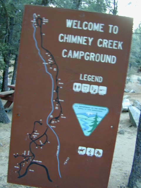
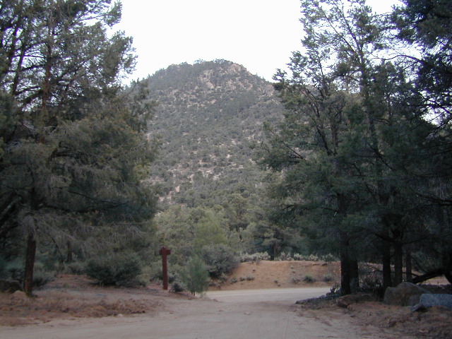
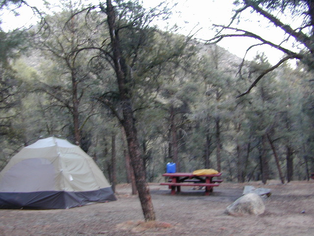

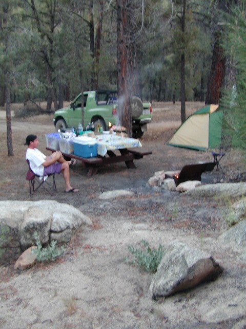


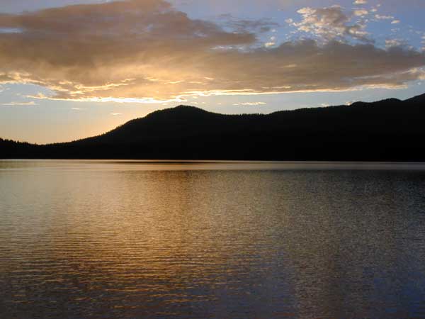
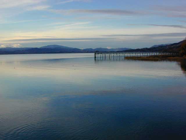

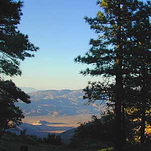

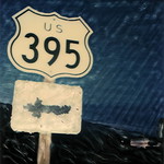
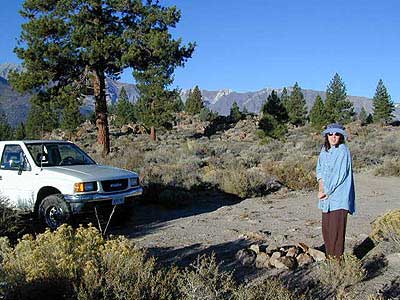
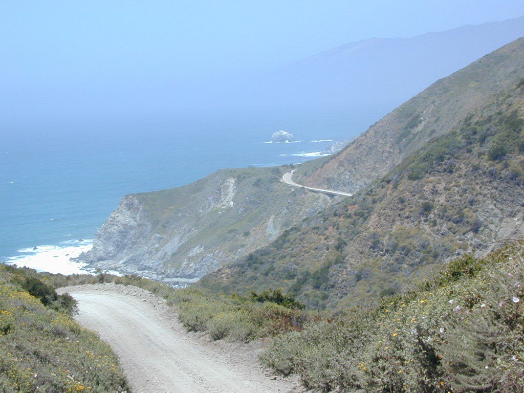

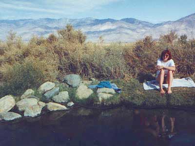
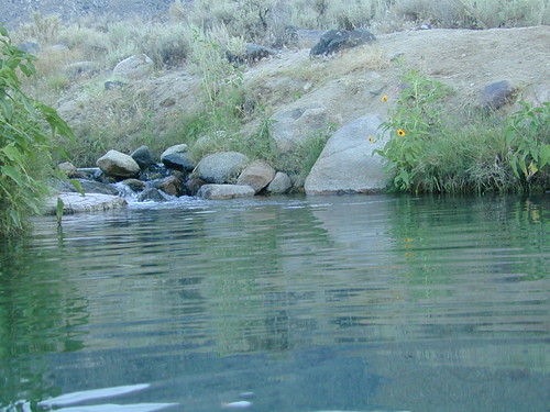


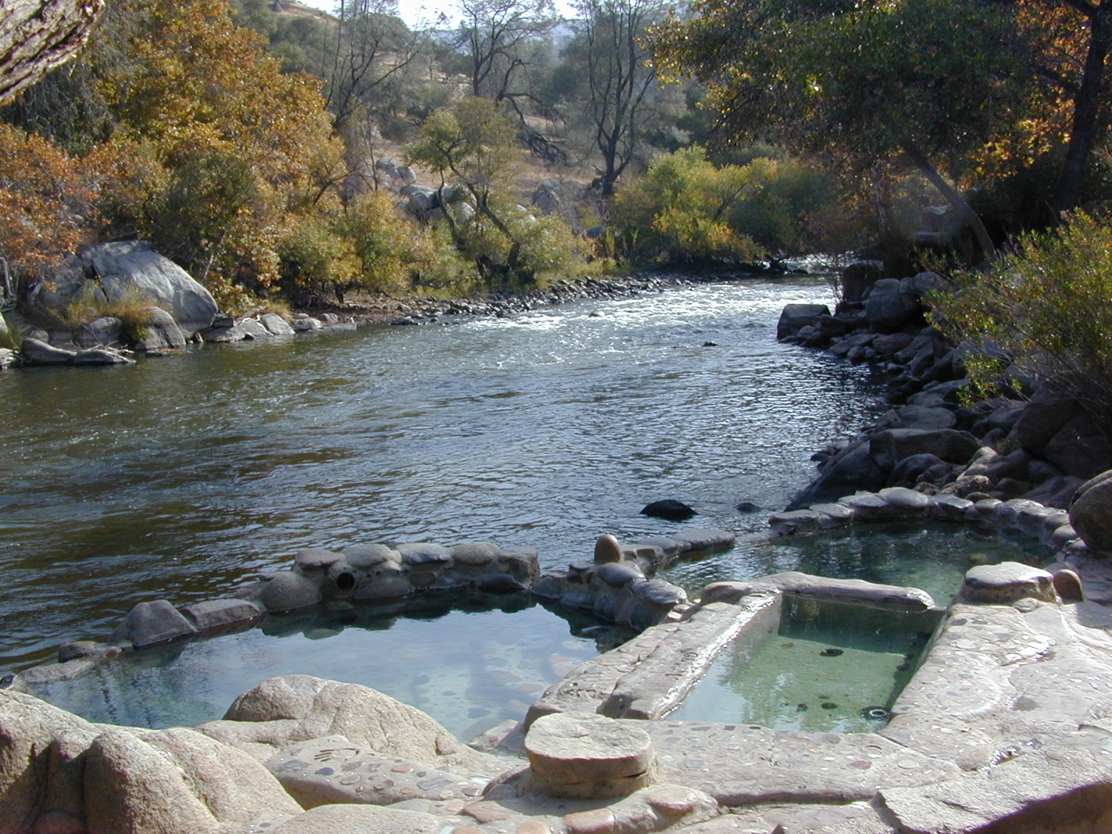
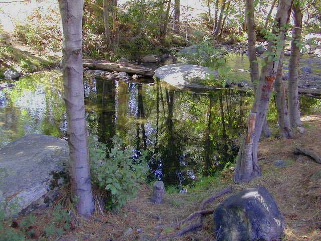
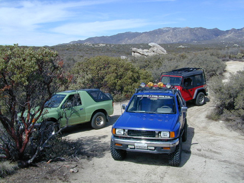


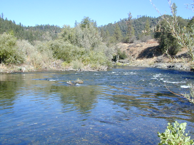

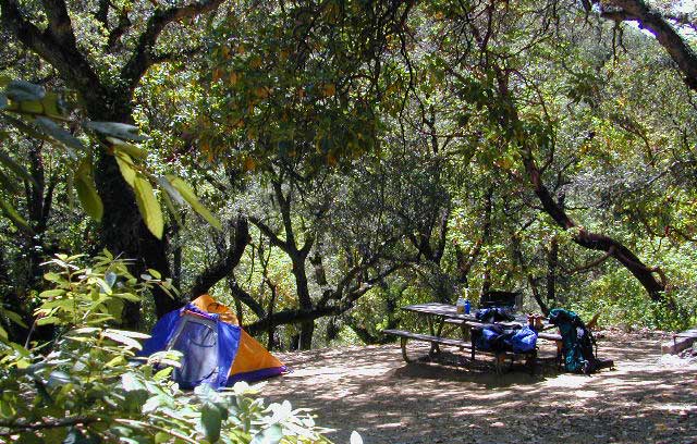
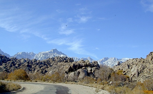
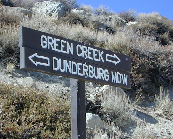