Tag Archives: highway 33

Dick Smith Wilderness

Santa Barbara Mountains
Ojai Backpacking, Ventura, CA

old cabin cuyama
Old Cabin at Cuyama Peak Fire Lookout, Dick Smith Wilderness Area in the background

64,800 acres

30 miles N of Ojai, CA
Los Padres National Forest

Dick Smith Wildernessreyes lift off

  • backpacking
  • camping
  • hang gliding
  • hiking
  • horseback riding
  • parasailing
  • OHV trails nearby

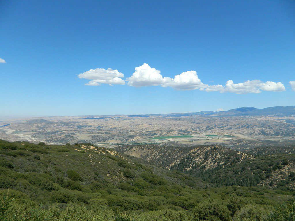
Los Padres National Forest – Located in between the Santa Barbara coastline and the Cuyama Valley, this coastal wilderness area is situated miles north of Ojai, off Highway 33.

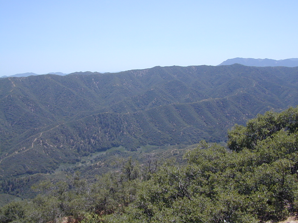
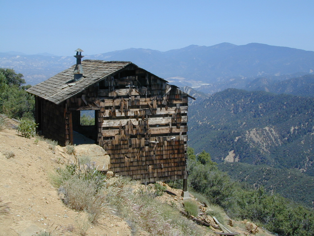
The Dick Smith Wilderness is where the San Rafael Mountains and the Sierra Madre Mountains merge on the east side, next to Pine Mountain Summit (elevation 5080′ @ highway).

This PINE MTN turn off should not to be confused w/ the Pine Mountain Club, on the north side of Cerro Noroeste.

Significant mountain peaks within Dick Smith Wilderness Area:

Big Pine Mountain – 6828′ elevation
Cuyama Peak – 5875′
Lizard Head – 5350′
Madulce Peak – 6536′
Samon Peak – 6527′

Closer to Ojai, Matilija Wilderness is on the southern boundary of DickSmith and the San Rafael Wilderness sits to the west side. Native American petroglyphs can be found in this mountainous region.  Access to “Painted Rock” on the Sierra Madre ridge, via Road #32S13 (which has a locked gate on both ends), is a long one so you might want to bring the mountain bike. The dirt road hike is about 10 miles (one way) and it starts at the Santa Barbara Canyon trailhead. If you plan to visit the rock art from the west side – take the dirt road up past Bates Canyon Campground. The turn off on Hwy 166 is called Cottonwood Canyon. Park at the hog pen trailhead and follow Road #32S13 for miles.
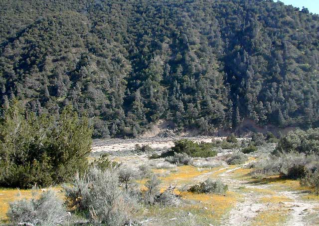
Dick Smith Trails
hiking trailheads –

  • Chorro Grande (Hwy 33)
  • Potrero Seco (Hwy 33)
  • Santa Barbara Canyon (Hwy 166)
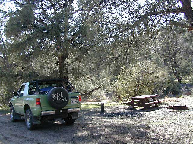
 area campgrounds –

 nearby towns –

more Ojai camping

ojai backpacking

Dick SMith Wilderness

Ozena Valley Badlands

Frazier Park Camping

Mount Pinos Camping & Frazier Park Campgrounds

Drum Circle Camp
Mount Pinos Fire Circle Camp Spot
camp5
Gold Hill Campground (which is now closed) – right next to Piru Creek.

camp

Frazier Park and neighboring towns, like freeway-close Lebec and Gorman, is where the Los Angeles hills meet the Kern County mountains. Mojave Desert meets to Coastal Range. EXIT I-5 @ Tejon Pass (elev 4144′)

Wildflower hills, seasonal creeks, forested peaks, high desert canyons. Bike trails, hike trails, off road routes. High elevation backpacking, hang gliding, mountain biking and camping in every direction.

MTB SOCAL
Mountain Bikers love the trails at Mount Pinos.

High desert washes, oak creeks, pinyon pine forests, mountain meadows and numerous peaks – Frazier Peak, Reyes Peak, Alamo Mountain, Mount Pinos, Mount Abel (Cerro Noroeste) and north facing San Emigdio ridge.

Mt. Pinos District:

campground elev spots veg toilet water notes
Aliso Park, Cuyama 3200′ 11 oak pit no Aliso Cyn Rd. (#10N04)
Ballinger OHV Camp 3000′ 20 pinyon vault no Rd# 9N10, Cuyama Valley
Camp-O Alto 8286′ 12 jefferey pit no ridge, Cerro Noroeste
Caballo Campground 5850′ 5 oaks pit no Rd# 9N27, Cerro Noroeste
Cherry Creek 4×4 5200′ 2 oak no spring 4WD trail, Cuddy Valley
Chuchapate Campground 6000′ 30 pines vault piped Rd# 8N04, closed winter
Chula Vista Walk-In Camp 8300′ 12 pines vault no walk-in camps & RV lot
Cottonwood Campground 4600′ 2 ctnwd no creek 4WD only trail, fish
Dome Springs Camp 4800′ 4 oak pit no Rd# 8N40, Lockwood
Dutchman Camp 6800′ 8 pines no no Rd# 7N01, 4WD trails
Half Moon Campground 4700′ 10 pines pit no Rd #7N03, May-Oct
Kings Campground 4250′ 7 pinyon vault no OHV & Piru Creek
Marian Campground 6600′ 5 pine pit no closed in winter
McGill Campground 7500′ 50+ pine vault seasonal mountain biking
Mount Pinos Campground 7800′ 19 pine vault seasonal closed winter
Nettle Springs Camp 4400′ 9 pinyon vault no Rd# 8N06, Apache Cyn
Ozena Campground 3660′ 12 cottnwd vault no Lockwood Rd
Pine Springs Camp 5800′ 12 pinyon pit no Road #7N03
Pleito Campsite 5000′ 2 mixed no no dirt rd access, dispersed
Rancho Nuevo 3550′ 2 mixed no no river crossing
Reyes Creek 4000′ 30 oaks vault yes creek camping
Reyes Peak Pine Mt 5200′ 6 pines none no ridge camping
Salt Creek 4×4 3000′ 2 mixed no no 4WD only
Sunset Campground 4300′ 2 cottonwd no no Lockwood / Piru Creek
Thorn Meadows 5000′ 5 pine pit no Rd# 7N03C, horse corral
Tinta Campground 3600′ 3 pinyon pit no river crossing
Toad Springs Camp 5700′ 5 pinyon pit no Rd# 9N09, Quatal Cyn
Twin Pines Camp 6600′ 5 pine vault no Dry weather only
Valle Vista Camp 4800′ 7 mixed pit no condors, new toilet

See Mount Pinos Recreation Campgrounds only

Group Camping Sites in Los Padres Forest

Hiking Pinos Signs
Mount Pinos – Peak to Peak hike.

Maps of Los Padres NF –nettle spring camp

Los Padres mountain towns –

DSCN0043

Toad Springs Campground atop Quatal Canyon. Small camps located in Los Padres NF have no fees, and often no toilets – so bring the shovel.

Many dirt roads are gated seasonally for wet weather or snow. Call rangers to find out which routes are open before you plan your weekend. Or have a plan B and C camp site ready if route is closed. Flashfloods, thunderstorms, and erosion means you may all-of-a-sudden need to use your 4WD. This is the mountains after all. UNpredictable weather is common.

frazier park camping

Primitive Camping in Quatal Wash, next to the OHV Route and the Chumash Wilderness

PeaktoPeak
Peak-to-Peak Hike: the toughest climb you’ll do, this decade.


Nettle Springs Campground

Nettle Springs

Apache Canyon Campsites

Cuyama Camping near Highway 33

Los Padres National Forest 

Way back off there beyond the boonies, 10 miles on a bumpy dirt road #8N06, and far from the pavement. Seclusion, peace and quiet, plus privacy is what this canyon can offer. This small campground is rarely busy, unless a huge family or hunting group has taken over camp. Most of the time it’s so quiet you can hear the wind in the trees, birds chirping and bugs buzzing.

N of Ojai (about an hour), scenic drive Highway 33 N of Ozena @ Lockwood is a little-known signed route called Apache Canyon. Los Padres Road #8N06 leads from the south end of Cuyama River Valley east to the dead end badlands canyon w/ Nettle Springs Camp. OHV trails and Chumash Wilderness access.

Elevation: 4,400′
Number of Sites: 8
Camping Reservations: No
Sites Available: First come, First serve
Vehicle Accessibility: small RV ok
Length of Stay: 14 Days
Water: No Piped; seasonal creek iffy
Toilet: Vault
Season: Open all year
Fee: No
Operated By: National Forest Service
Closest Towns: Frazier Park, CA & Ojai, CA

Los Padres National Forest
Lockwood Ranger Station
661-245-3731

Secluded Campground and Spacious Camp Sites