Tag Archives: ozena

Dick Smith Wilderness

Santa Barbara Mountains
Ojai Backpacking, Ventura, CA
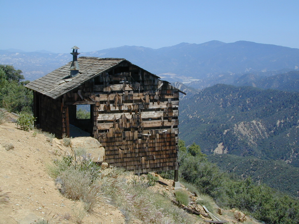
old cabin cuyama
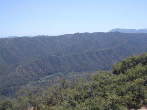
Old Cabin at Cuyama Peak Fire Lookout, Dick Smith Wilderness Area in the background

64,800 acres

30 miles N of Ojai, CA
Los Padres National Forest

Dick Smith Wildernessreyes lift off

  • backpacking
  • camping
  • hang gliding
  • hiking
  • horseback riding
  • parasailing
  • OHV trails nearby

Los Padres National Forest – Located in between the Santa Barbara coastline and the Cuyama Valley, this coastal wilderness area is situated miles north of Ojai, off Highway 33.

The Dick Smith Wilderness is where the San Rafael Mountains and the Sierra Madre Mountains merge on the east side, next to Pine Mountain Summit (elevation 5080′ @ highway).

This PINE MTN turn off should not to be confused w/ the Pine Mountain Club, on the north side of Cerro Noroeste.

Significant mountain peaks within Dick Smith Wilderness Area:

Big Pine Mountain – 6828′ elevation
Cuyama Peak – 5875′
Lizard Head – 5350′
Madulce Peak – 6536′
Samon Peak – 6527′

Closer to Ojai, Matilija Wilderness is on the southern boundary of DickSmith and the San Rafael Wilderness sits to the west side. Native American petroglyphs can be found in this mountainous region.  Access to “Painted Rock” on the Sierra Madre ridge, via Road #32S13 (which has a locked gate on both ends), is a long one so you might want to bring the mountain bike. The dirt road hike is about 10 miles (one way) and it starts at the Santa Barbara Canyon trailhead. If you plan to visit the rock art from the west side – take the dirt road up past Bates Canyon Campground. The turn off on Hwy 166 is called Cottonwood Canyon. Park at the hog pen trailhead and follow Road #32S13 for miles.

Dick Smith Trails
hiking trailheads –

  • Chorro Grande (Hwy 33)
  • Potrero Seco (Hwy 33)
  • Santa Barbara Canyon (Hwy 166)

 area campgrounds –

 nearby towns –

more Ojai camping

ojai backpacking

Dick SMith Wilderness

Ozena Valley Badlands

Cuyama Valley

Cuyama River Valley, California

Ventucopa WineriesNorth of Ojai, Highway 33 meets Highway 166: Ozena, Ventucopa, & New Cuyama make up the 3 small communities inside the Cuyama River Valley, located in south of the San Joaquin (California’s Central) Valley.

On the outter edge of Santa Barbara County, where Kern, San Luis Obispo & Ventura counties all meet, you can find great solitude, a large red dirt, high desert wash & plenty rural trails. Off-roading, backcountry camping, hiking, mountain biking all over this region.

Ozena Ranger Station sits at the south end of Cuyama, at the intersection of Lockwood Valley Rd & Hwy 33. Ozena Campground with 10 spots @ 3660′ elevation, is to the east off Lockwood.

Nettle Springs Campground (8 spots @ 4400′ elevation) can be accessed via Apache Canyon, a 10 mile long dirt road# 8N06, off Hwy 33

2 smaller campgrounds – Tinta and Ranch Nuevo are on the west side of Hwy 33 & may require a high clearance vehicle to reach. Trails out of these campgrounds lead to the Dick Smith Wilderness.

Chumash Wilderness is just east of Ventucopa, as Los Padres National Forest surround this agricultural valley. Quatal Canyon and Quatal Wash reach from the upper elevations of pinyon pines near Mount Able to Cuyama river bed below, as Cerro Noroeste Road skirts the northern rim of the impressive red rock canyon. Toad Spring Campground is at the top. Apache Saddle and Pine Mountain Club are just east of Quatal Cyn.

Cuyama riverbed follows Highway 33 and then turns west, following Highway 166, past the ranch lands, the volcano hills and notorious Rock Front Ranch.

All the pavement around Cuyama is very popular amongst motorcyclists. Scenic touring kinda roads. A very nice 100 mile loop trip is from Pine Mountain Club – W on Mil Potrero Hwy, W on Cerro Noroeste Rd, W on Hwy 166, S on Hwy 33, East on Lockwood Valley Road – back to Frazier Park & I-5 Lebec.

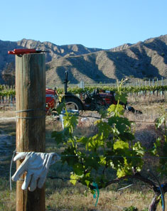
Mahutasan, the indian sweat lodge and the extremely rustic Sage Brush Annies Restaurant w/ winery are the highlights of this rural agriculture valley called Ventucopa CA. Cuyama Peak and fire lookout tower overlooks the whole Cuayama Valley & can be accessed via Santa Barbara Canyon Rd. 4×4 may be required in certain spots. This lovely oak and manzanita lined canyon was scorched by the Zaca Wildfire in mid 2007.

  • Cuyama Wineries
  • Pistacio Orchards
  • Quatal Canyon
  • Ballinger OHV Park

helpful maps of the region –

towns in the valley –

towns close by –


View Larger Map

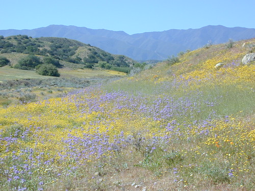
Hwy 166 Wildflowers, School House Canyon


Reyes Peak

CA 33 N
Ojai Camping
North of Ojai, CA

Camp out among tall pines, well above the coastal fog.
Los Padres National Forest Road #6N06

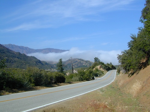
Ojai, CA – NORTH on HWY 33
a very scenic drive, in North Los Angeles County

Coastal Foothills

Near the Pine Mountain Summit (elev 5080′) on California Highway 33, the small sign only reads PINE MTN and points east, to a rugged side road. By far one of the worst paved roads around.

This Reyes Pine Mountain, should not to be mistaken for the golf course community of Pine Mountain Club, many miles north of here, around the other side of Mount Abel.

This is Reyes Peak, also known as Pine Mountain Ridge “north of Ojai”, on the sorta paved Pine Mountain Road. (Los Padres National Forest Rd # 6N06)

overozena
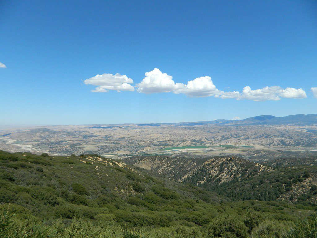
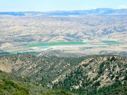
The view above is from one huge dirt pull out, on the left – over looking Ozena Valley, on the west end of Lockwood Valley Rd. Motorhomes, trailers, off-roaders and hunters like this as a last minute camp site, very close to the highway.

If your vehicle can endure 9 long miles of poor pavement, pot-holed roads, then maybe you can find seclusion back in the woods around here.

Six or more primitive campsites, spread out along a forested ridge line (around 5000′ elevation). Tables and fire rings only. No fees, no toilets. Bring a shovel and plenty water. No pipes, no running water up here.

The scattered camp sites are located far enough away from each other, that the location provides some privacy and still relatively close to town. Some sites are in forested settings, while others have big boulders, but are exposed to wind and sun. Although these few sky view camps are perfect for the stargazers.

Dark night skies can be okay, if the coastal fog stays low. Neighboring Mount Pinos is all paved – usually best choice for RV campers w/ telescopes, who need large areas of flat level ground.

reyespeakcamp

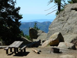
One particular camp site is located at a very decent view spot. Boulders, pine trees and mountain views to the south. Click the image above to expand.

PRIMITIVE CAMPGROUNDS
Campfire permits are required.

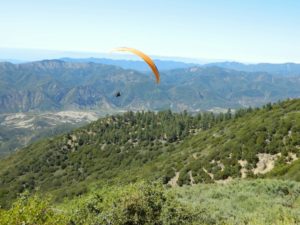
Launch Spot

The end of the road is a top destination LAUNCH spot for hang gliders & para-sailers. Watch them jump on YouTube compliments of DanaMite.

Youtube


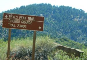
The hiking Trailhead for Reyes Peak and the Chorro Grande Trail #23W05 are also at the end of this dead end road #6N06. Reyes Peak Trail leads east, out to 7510′ elevation, overlooking the whole lower Los Padres region – Lockwood Valley, Ozena, Piedra Blanca, Sespe Gorge, Potrero Seco.

reyespeaktrail

Get outside this weekend. There are no more excuses!

MAPS: Los Padres National Forest Maps

NEAREST TOWNS: