

Numerous Silver Lakes, Creeks and other “silver” terrain can be found inside California. After the Gold Rush of 1849 in the western Sierra, Silver was discovered in Nevada shortly after (east of Sierra Nevada mountains). This page is an overview on all places with SILVER in the name, or places that have had a history of silver mining. California Counties are listed in parenthesis. Links below will lead to more detailed pages or campground reservations.
Silver Lake @ Lassen
(Lassen Co)

Silver Lake @ Bucks
(Plumas Co)

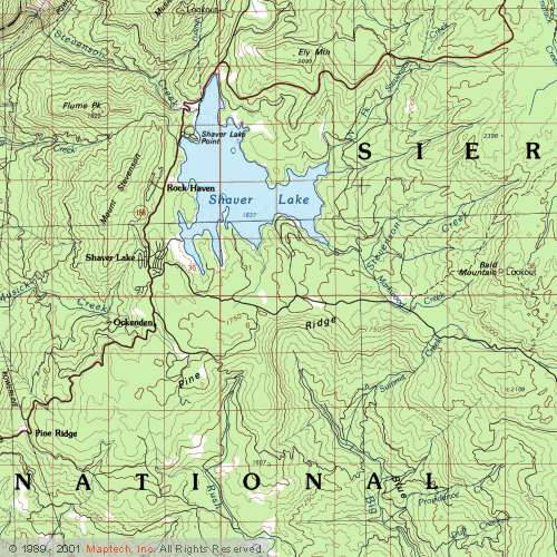
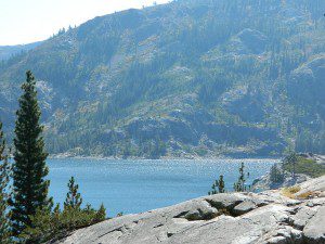
Silver Lake @ Carson
(Alpine Co)
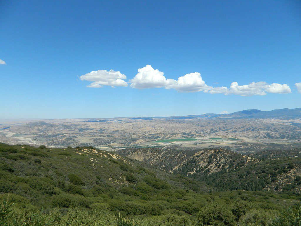
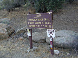
Silver Fork of the American River. Silver Fork Road connects US Highway 50 & Carson Pass Hwy 88. Silver Fork Campground & China Flat Campground (NFS) are both located on this remote, backcountry route, about 8 miles from US Hwy 50 ![]()

Silver Lake @ June
(Mono Co)
Autumn aspen groves ignite with color in October. Often, some of the best fall colors in the Eastern Sierra. Day trips w/ fishing. Hiking everywhere. Overnighters or backpackers could be greeted with snow at anytime in October or later. The June Lake Loop (SR 158) closes for snow annually!
![]()
Silver Lake @ Gold Lake
(Plumas Co)
Lakes Basin Recreation Area also has a hike-in Silver Lake, trailhead near Gold Lake on Gold Lake Highway


below are silver mining camps and other silver related destinations, plus some campgrounds
Bodie SHP (State Park) ![]()
(Mono Co)
8375′ elev. US Hwy 395 near Bridgeport, CA. Infamous, high desert ghost town, now a California Historic State Park. Large gold mining camp w/ well-preserved, wooden, old town structures. Silver was discovered in nearby Aurora Canyon. All dirt road access. No developed campground @ Bodie, so try nearby Green Creek Road instead. Or high desert, back road camping on Aurora Canyon Road over to Bridgeport Reservoir.
Cerro Gordo
(Inyo Co)
8500′ elev. Inyo mountains, West of Death Valley, east of US Hwy 395 @ Junction 136. Old mining camp rich in silver history. Someone might even live up there. Extreme remote location in rugged, high desert mountains. 4×4 is always required!
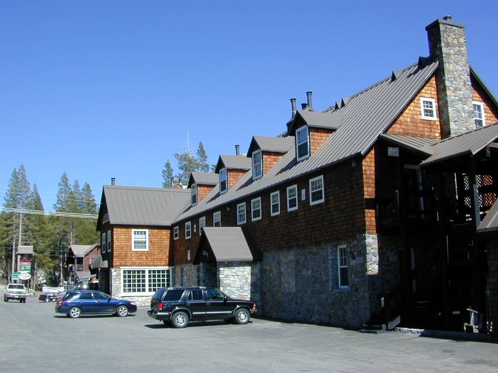
Silver City Sequoia ![]()
(Tulare Co)
6935′ elev. cabin resort on Mineral King Road, in the South Sequoia National Park
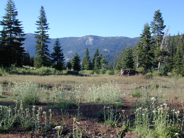
Silver Creek Campground NFS ![]()
(Alpine Co)
Developed Campground south of Markleeville, Highway 4, Ebbett’s Pass, Central Sierra Nevada
Silver Creek Campground ![]()
(Placer Co)
Camp right on the Truckee River, and on busy Hwy 89. in between Truckee & Lake Tahoe, California
Silver Valley Campground & Silver Tip Campground (Alpine Co) are both located near Lake Alpine on Highway 4 Ebbetts Pass , Central Sierra

Silvertip is also a Group Camp at Jackson Meadow Reservoir (Sierra Co) off Hwy 89, North of Truckee, CA. Silvertip Group Campground, as with all group camping facilities, is by reservation only.
Silver Lake @ LA
(Los Angeles Co) a hip and popular, tree-lined neighborhood in Los Angeles, near Griffith Park.
Silver Lake
(San Bernardino Co)
Silver Dry Lake, a dry lakebed in the Mojave desert, near the Hollow Hills Wilderness, north of Baker, CA off I-15
Silver Lakes
(San Bernardino Co)
2430′ elev. a desert community southwest of Barstow, near Helendale, CA. Located on the Mojave River (which flows underground) in between Historic Route 66 & US Hwy 395. Attraction nearby – Exotic World, the Burlesque Hall of Fame.

Silver Strand State Beach 
(San Diego Co)
A sliver of sand makes up this narrow beach, barrier island for San Diego Bay. RV Camping, best in SD. South San Diego, Coronado Island ![]()

Silverwood Lake SRA
(San Bernardino Co)
State Recreation Area @ Cajon Pass I-15
in the San Berdu National Forest

High Sierra, California
hike-in only
![]()
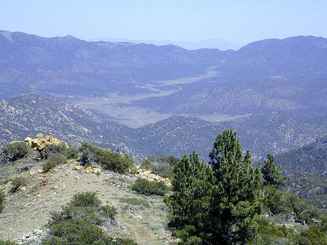
Silver Pass Lake
Silver Divide & Silver Pass
(Fresno Co)
11,000′ elev
Located in between two 12,000′ peaks
near PCT – Pacific Crest Trail
John Muir Wilderness
![]()
Silver Lake
(Tulare Co)
11,000′ elev
via Mineral King trailheads
Golden Trout Wilderness
South of Sequoia NP
Southern Sierra Nevada


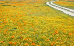
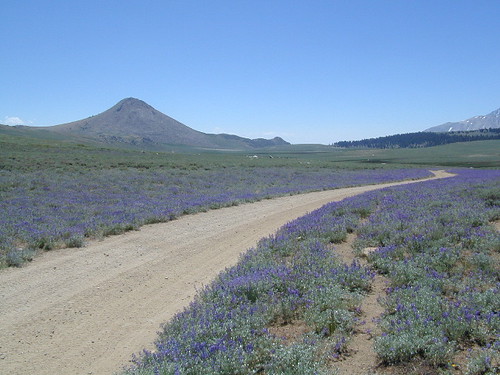
 Stay on designated dirt roads: No tires across the meadow; No mountain biking, No dirt bikes, No off roading. You’re not spreading the seeds, you’re destroying a fragile ecosystem.
 When hiking – stay out of the muddy spots and know that if you choose to hike directly across meadow, you may encounter water and deep, sinking mud. HINT: There is usually a shallow creek running through most meadows, during all times of the year.


 Snow is always a factor in mid to high altitude towns with road conditions being unpredictable with each mountain range and each micro-climate. Winter months range from late October to May, so be warned. Above 3000′ elevation usually gets some snow. Serious snow above 5000′. Some High Sierra Passesdon’t open until JULY (Yosemite Hwy 120 & Sonora Hwy 108). Carry tire chains or have 4×4 to travel safely on snowy roads. Guard rails are seldom around every curve.


 SDBKCO Recreation Map


 . The center of the parks is pretty much the town of Borrego Springs, where the State Parks visitors center is located. San Diego County Road S3 leads from Hwy 78 down the the town of


