“It was sport to have a gale in such weather as this. Yet it blew like a hurricane. The wind seemed to come with a spite, an edge to it, which threatened to scrape us off the yards. The mere force of the wind was greater than I had ever seen before.”
– Richard Henry Dana, Jr. Two Years Before the Mast (1843)
In the early days of California cargo shipping, the sailers referred to the wild winds as “south-easterlies”. So strong and unpredictable in fact, that they often had to cut anchor and drift far out to sea – to wait out the wind event.
offshore winds
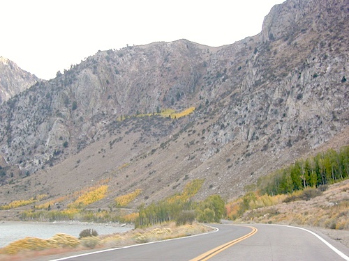
Various nicknames have been given to the easterly winds in California. They develop from a high or low pressure system that builds in the Great Basin, pushing winds from the desert towards the west, over the Sierra mountains and into California.
Wind events can last for days, but usually not a full week.
Santa Ana Winds
Southeasters
Sundowners
Mono Winds
Diablo Winds
Indian Summer
Northeasters
North-easterlies
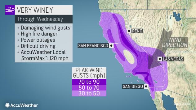
Wind gusts measuring over 100 mph typically recorded in Sierra passes
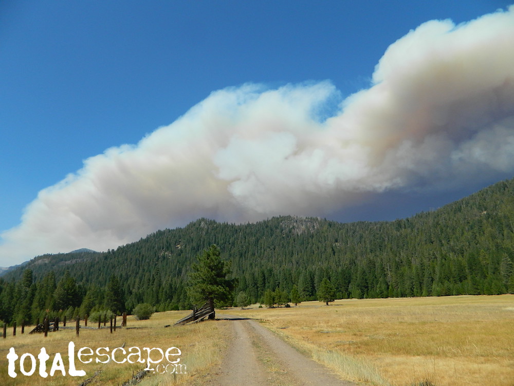
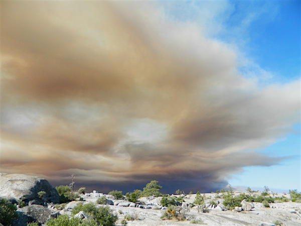
RED FLAG – Weather forecasters announce “Red Flag Warnings” when predicting, banning all outdoor burning and all use of campfires. Humidity levels drop into single digits or teens, and created extremely critical wildfire conditions. Utility companies are now preemptively cutting electric power to millions of customers across the state to reduce the risk of fires (sparking from power poles). Extreme fire weather can last for months, usually in the last half of the year. December rains usually put an end to the wildfire dangers, but the wind events can last all winter long.
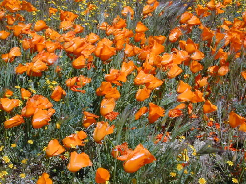
Wind whipped Golden poppies in the high deserts of Antelope Valley.
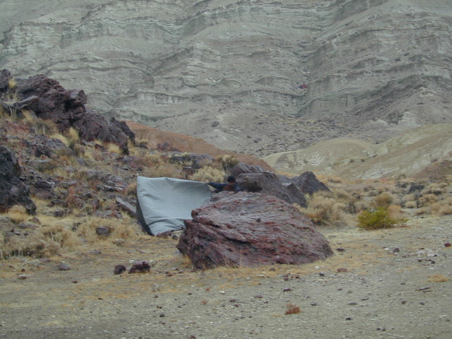
Desert winds are harsh. Not properly staking down your tent results in gear rolling down canyon.
This is a term often used for travel. High profile vehicles can literally tip over (while driving) in strong winds. Aircraft can be grounded and unable to fly, during such events. Helicopters generally do not fly during strong winds. Boats at harbor may need to be secured.
Electronic Freeway signs can display messages about high winds. These type of vehicle should heed the warnings.
big rigs
camper vans
5th wheel travel trailers
motorhomes
moving trucks / rentals
RVs (recreational vehicles)
trailers in tow
truck campers
u-haul trucks
California places that experience top wind speeds –
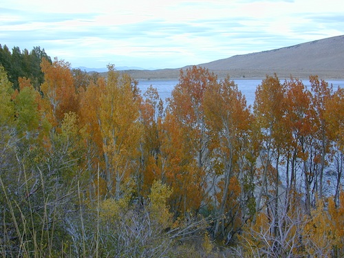
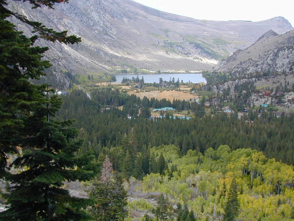
Grant Lake is the largest of the lakes on the famous June Lake Loop, the far north end (top) of Hwy 158. Eastern Sierra
Often windy, barren hills surround much of the lake; Good fishing and easy access all the way around lake. High desert, with big open skies and great views. Public boat ramps (dirt).
Graded Dirt Road #1S29 skirts the north end of this lake. Dirt Road #1S30 wraps around the back (east) side, while the paved highway skirts the western shoreline.
Full service marina, fishing boat rentals, boat launch ramp, gasoline & a market. Grant Lake Marina Campground w/ 70 camp sites. Usually open from late April through mid October.
AUTUMN COLOR: Some pockets of aspen near this lake, but most aspen groves are deeper on the loop.
Picnic areas, hiking, back roads.
Views of Mono Lake.
Near north end of Grant, a Gravel Road #1N17 leads north from Hwy 158, thru BLM lands. Several short canyons w/ lakes and creeks; fishing, picnic spots, numerous hiking trailheads, some primitive campsites.
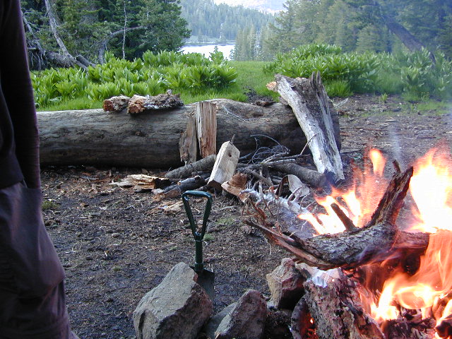
California has many different National Forest districts and each region has their own fire restrictions. State Parks & BLM also manages recreation areas & camping in the Golden State. Each agency & region has different rules, so blanket answers cannot apply to general questions on campfires.
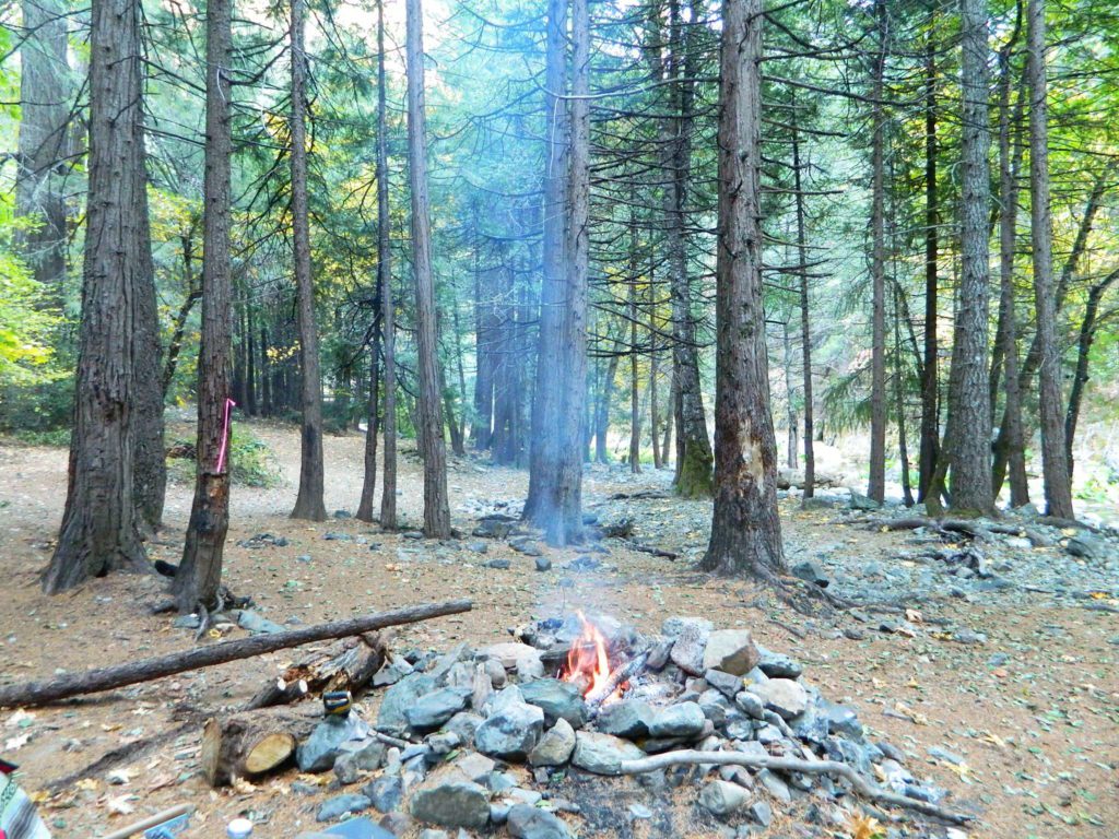
CAMPFIRE PERMITS
Campfire permits are required for fires outside of designated recreation sites. During fire restrictions, campfires could be banned. Campfire Permit are available from Forest Service, CalFire or BLM offices or online, http://www.preventwildfireca.org/
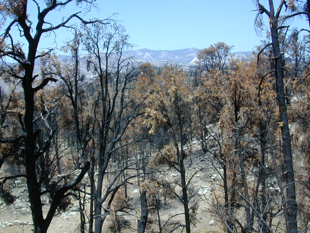
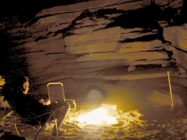
Manter Fire [2000], Dome Land Wilderness, Southern Sierra Nevada
the new abnormal
California suffers more from wildfires now than ever before. Native tribes let lightning strike wild fires burn and they did not suppress wildfire. Residential development creeping ever higher and denser into the foothills, an abundance of roadways, with the overgrown forest make fire danger ever more real.
Closed off wilderness areas, impassable dirt roads, landslides, fallen trees everywhere. Utility services (power lines), plus high winds and overgrown forest also play a huge part in the current wildfire catastrophes. Drought conditions or record winter rains, the huge population on the west coast -along with many other factors – means more fire danger. Educate yourself and others on fire safety, forests and weather patterns. Heed the wind, while in the wild. Wind spreads fire easily!
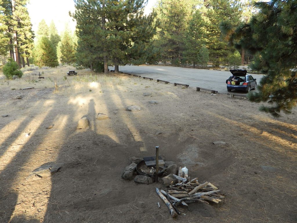
By mid summer we have usually have several wild land fires burning, which means campfire restrictions are usually in place before JULY 4th weekend. When this happens – No open campfires are allowed in the backcountry or on the back roads.
Often in the driest of years, no campfires are allowed (even inside the campgrounds).
If you love to primitive camp outside of developed campgrounds, you need to plan more road trips for spring time & autumn. Or head further north, well above Redding – where the forest are moist and snow graces Mount Shasta year round. Or perhaps, go desert camping during winter months. Checking the National Forest web sites can be confusing and their online information could be outdated.
Each forest and area is individually managed. No concise, easy-to-read list or online map exist on which forests are allowing backcountry campfires – and which ones are not. Conditions seem to change so often and they aren’t great about updating those .gov web sites. Best to call a local ranger station and ask about any current fire restrictions. You know, actually “talk on a phone” to a USFS, BLM or CalFire official. If you can speak to a field ranger, they can tell you more on dispersed camping. Or you can navigate the USDA web site to find current ALERTS & RESTRICTIONS. Cryptic lingo may be encountered, and many clicks maybe needed; possibly forcing you to download a PDF of current fire rules.


 When & Where – Campfires in California