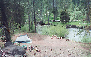
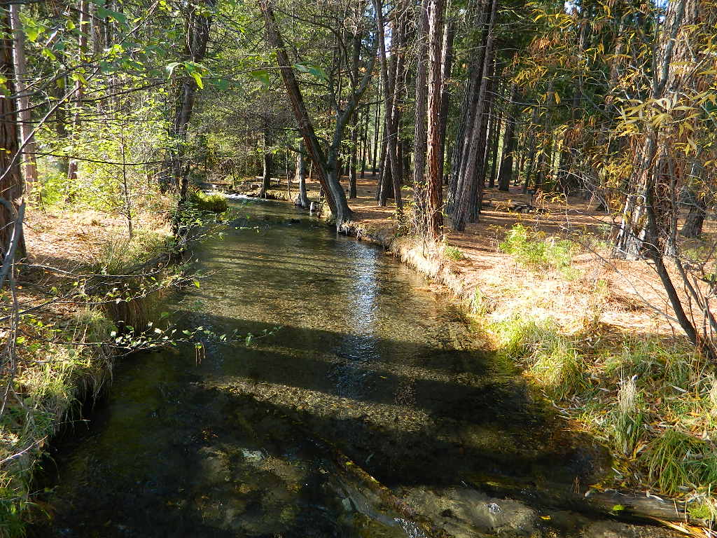
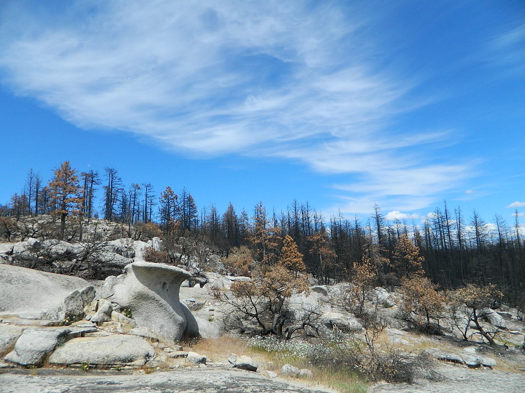
Mount Lassen is part of the Cascade Mountain Range, located north of the Sierra Nevada. The Lassen forest encompasses a large area of wilderness land, snowmelt creeks and an abundant dirt road system. Most of which is covered in deep snow about half the year, so plan accordingly.
Plenty of great dispersed camping along the old logging roads in this Lassen Forest area, surrounding the Volcanic National Park; in Northern California. Many dirt roads are graded annually to allow for passenger car access. You can make it way back there in a car – just watch for the mud and some boulders!
Camp fire permits required (see below). Pease try to choose a camp that has been used before and pack out your garbage.
HINT: a USDA Lassen National Forest Map is very helpful when camping these remote, Lassen back roads. Stay away from the crowds, avoid camp fees & really enjoy your vacation.
Camp right on a rushing river, alone. With no one in sight or sound. Have that secluded camping experience you’ve always dreamed about. Fishing, relaxing, maybe some hiking too. Or better, your mountain bike. Plenty forest roads to explore.
Numerous waterfalls to discover, water flowing everywhere. Mount Lassen @ 10,457′ elevation, is often snow-capped year round. This Northern California region is covered with pine forests and volcanic history.
Cool Springs @ Butt Lake, California (PG&E Campground)
If you wanna find the nearest biker bar, head over to the rustic and forested Bambi Inn @ Butte Meadows. The place is popular all the time, especially on weekends. Scenic day drive from Chico, located near a nice river and bridge, plus they have cabin rentals too. Sometimes they have big events and it can get pretty crowded and loud w/ drinking and outdoor music.
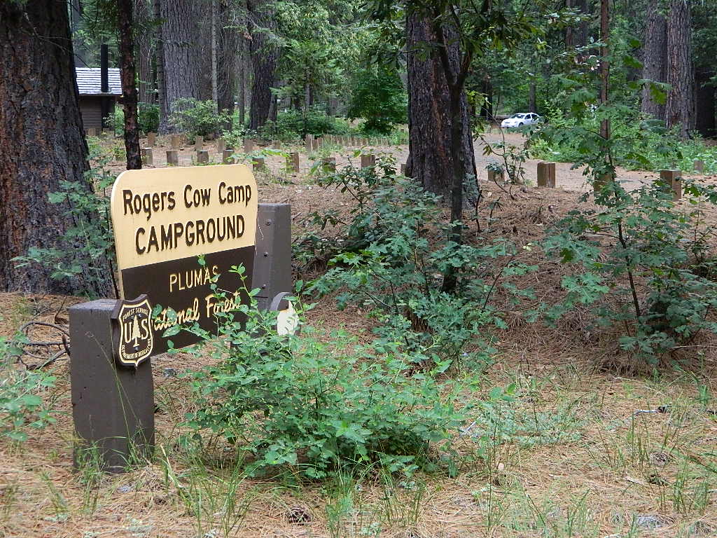
BSA Camp Lassen is a boy scout camp located E of Chico, off Highway 32 near Butte Meadows, CA
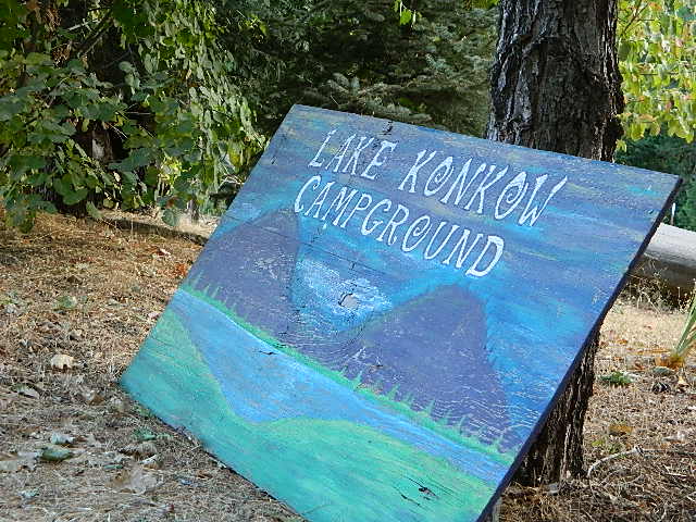
Dispersed Camp sites in Lassen in Lake Almanor Area
campground
elev.
spots
veg
toilet
water
notes
Alder Creek Campground
3900′
6
pines
vault
creek
March-Nov
Benner Creek Campground
5562′
9
pines
vault
creek
May-Nov
Black Rock Campground
2100′
6
pines
vault
creek
year round, fish
Echo Lake Campground
6440′
hike
pines
none
lake
May-Nov, no tables
Soldier Creek Campground
4890′
disp
pines
vault
creek
May-Nov, fall hunters
South Antelope Campground
2700′
4
pines
vault
creek
year round
Willow Lake Campground
–
disp
pines
–
lake
May-Nov, no tables
NORTH LASSEN
Free Camping Lassen
Northside of Mount Lassen
Excellent back roads camping w/ dense forest and free firewood all over the place (bring hand saw). Dispersed, primitive, free camping, near creek, and highway close. Many forest dirt roads turn offs, all along Highway 44 (California SR 44) near junction w/ Hwy 89 @ Lassen National Park.
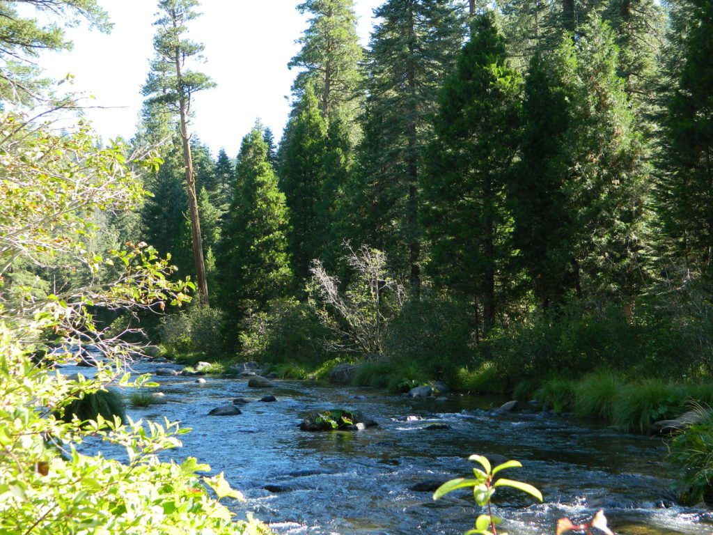
Big creeks, dense forests, graded dirt roads, dark night skies. PCT access, trailheads, camping, fishing, hiking, hunting, all along Upper Hat Creek.
Campfire permits (shovel, bucket & water) are required when camping outside of a developed campground. Always check on current fire restrictions. Washed out bridges and landslides are common, which means road closed signs can be found on these remote backroads.
Plumas National Foresthas excellent outdoor recreation and developed campgrounds, as well as secluded, primitive back roads camping sites. If you prefer a camp with table, toilet and a campfire ring, then expect to pay a fee. There are several small, remote campgrounds listed below, but most are located on paved roads. Venture down dirt roads to find a premium camp sites for free. Scroll the map links below to explore the back roads of Plumas, and discover hidden fishing holes.
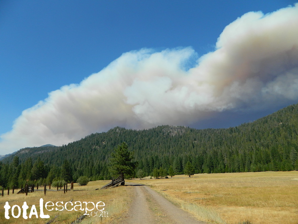
SOME CAMPGROUNDS are closed due to wildfire damage in the Plumas region.
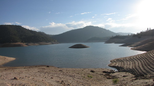
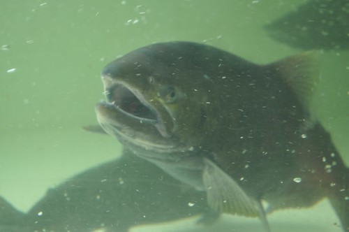
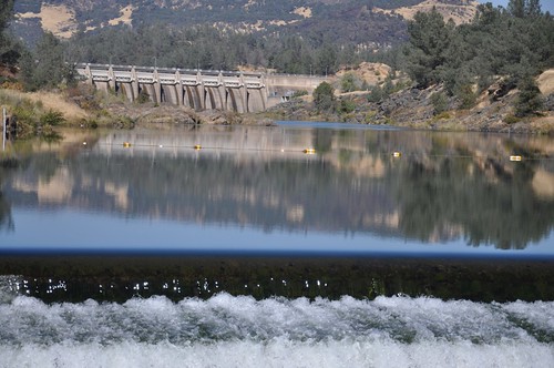
Lake Oroville Salmon Festival
Salmon Fest in O’ville
Feather River Fish Hatchery, Feather River Nature Center and Riverbend Park
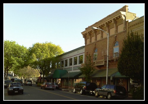
On the Feather River between Historic Downtown Oroville and the Fish Hatchery, the town bursts with fish-flavored activities during the annual Salmon Festival. Friday night starts @ Feather River Nature Center for dinner & dance. Saturday brings on the fun, food, music and vendors on Main Street. Lots of great local info – salmon recipes, water/drought, fishing and environmental issues. Big pancake breakfast, a farmer’s market, live music, a craft fair, clowns, rides for the kids. Hatchery tours. The Bounty of Butte County will be located atop Myers Street, next to the Municipal Auditorium leading into Salmon Court. FREE to attend and tastes sold as desired. There will be food demonstrations, local food vendors, restaurant tastings and so much more.
Decimated forest at Bald Rock: Trail Closed 2020-2021
Bald Rock, North Sierra Nevada Mountains
Big Bald Rock
elevation: 3350′
2021: CLOSED due to wildfire damage
Bald Rock Trailhead, Berry Creek, CA Located above Lake Oroville and near the Middle Fork of the Feather River, this well known trailhead is a 1 mile (short, steep & sweet) climb on top of granite rocks – to a wonderful view over the North Sacramento Valley. Dirt parking lot w/ bathroom in a forested setting. Can get muddy during winter. Seasonal creek runs along first part of the hiking trail. Locals like to party here at night. Families hike during daylight and sunset hour. Trailhead sign is well marked on paved Bald Rock Road, about 6 miles from the Oro Quincy Highway.
The granite dome hike (above) is often confused with a neighboring trail to the south, called Bald Rock Dome, located at the granite gorge of the Middle Feather River. A much longer hike w/ a canyon view, switchbacks, and longer dirt road access…..
Another dome hike in the same area as above, but on the other side of the pavement; gravel parking lot, and trailhead via dirt road; a right turn off Bald Rock Road (when going north). Near the residential forest of Berry Creek, CA
The official map for Lake Oroville SRA has a granite dome marked as Little Bald Rock @ 3334′ elev. The USDA Plumas National Forest map has both a Little Bald Rock and a Bald Rock Dome (3509′) located on this side of Bald Rock Road.
As you can see listed below, giant granite domes or mountain peaks or river canyons often have the generic name of ‘bald rock’ There are also a heck of a lotta Bald Mountains inside the golden state.
also, in the vicinity –
Bald Rock Canyon is downstream from the big waterfall, Feather Falls, on the Middle Fork of the Feather River; This stretch of wilderness waterway is called Feather Falls Scenic Area which includes, Milsap Bar Campground; Maybe be accessible, by 4×4 and steep foot trail – from the opposite side of the river. Off Lumpkin Road, which is off Forbestown Road (@ 162 above Lake Oroville) 2021: CLOSED due to wildfire damage
Bald Rock Peak (elev 7166′) a mountain peak near Chilcoot Campground and Frenchman Lake, N of Hwy 70 in East Plumas National Forest
Bald Mountain (5780′) off the Skyway, next to Stirling City, CA
Fire Lookout CDF, weather cam & antenna site
On the north side of the lake is Grass Valley Bald Mountain (5906′ elev) in between Black Rock Creek and the northern shore.
The La Porte Bald Mountain Peak (5906′ elev) is located in dense forest, in Plumas National Forest; In between LGVR and the town ofLa Porte, CA 4959′
Area accessible via a long and curvy La Porte Road, which closes in winter on the north end (East Quincy). This Plumas County area is popular w/ snowmobiling due to the amount of snow they receive.
Bald Mountain Range, due north of Truckee and Stampede Reservoir. Near the CA / NV border. Babbitt Peak @ 8790′ is the tallest peak within this range. Historical Henness Pass Road passes through this area.
Bald Mountain Peak @ Sugarloaf Ridge State Park (2279′ elev) located in between Napa Valley and Sonoma Valley.
M22 Mendocino Forest, eastside Forest Route #M22 is on Valentine Ridge, east of South Yolla Bolly (elev 8092′) and near Bald Rock Mountain (7762′). Road M-22 is also known as Bald Rock Road. Mendocino National Forest – Two trailheads up this way are Ides Cove and Horsepacker. M22 wraps around south to Ball Rock @ 6663′ elevation, near Rocky Cabin Campground. Cold Springs Guard Station, Ball Mountain 6557′ and Whitlock Campground are on this route. Much this region has been burnt in recent wildfires of 2020 #ElkhornFire
Popular, local snow ski destination for “the southland”; south of Pasadena, near Rancho Cucamonga, in the San Gabriel Mountains.’
Bald Mountain Road, also known as Inyo Forest Road #01S05, near Indiana Summit and the Mono Craters. East of the Eastern Sierra & US 395; south of Mono Lake, California.
Bald Mountain Road, near Bummerville, California.
Gold Country Sierra Forests, East of Hwy 49 @ Jackson, CA
Bald Mountain Road, rural ranches & residential;
and Bald Mountain Nursery in Browns Valley, near Marysville, CA
Bald Hills Road, Redwoods NP
Bald Hills Road, Northern California
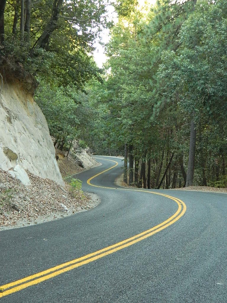
Well- traveled, graded dirt road connecting the Redwood National Park to the Klamath River @ Hwy 96. Primitive camping, but check on fire restrictions. Must have camp fire permit. Active logging roads on National Forest land, so weekdays could be busy: watch for equipment and big trucks.
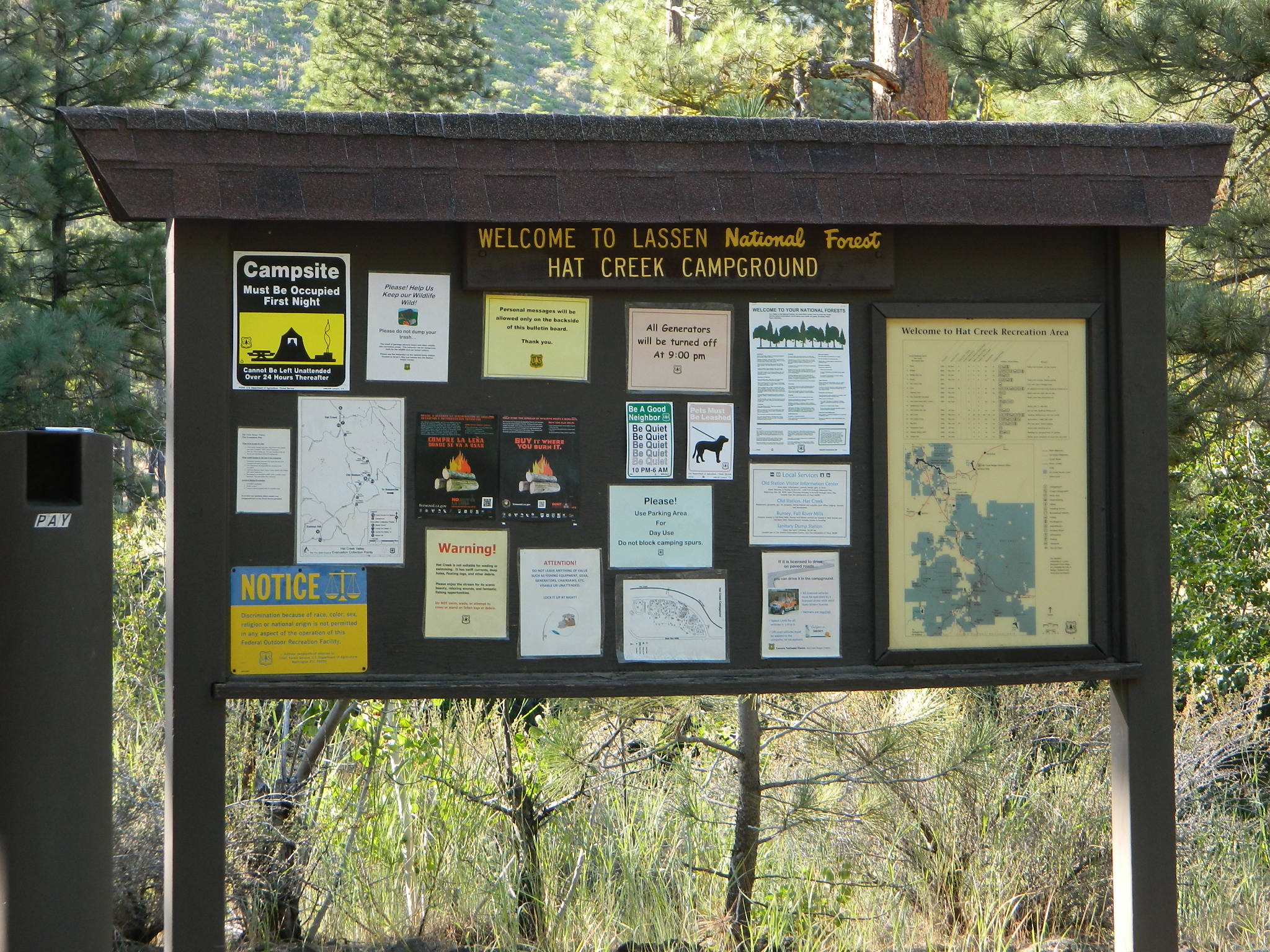
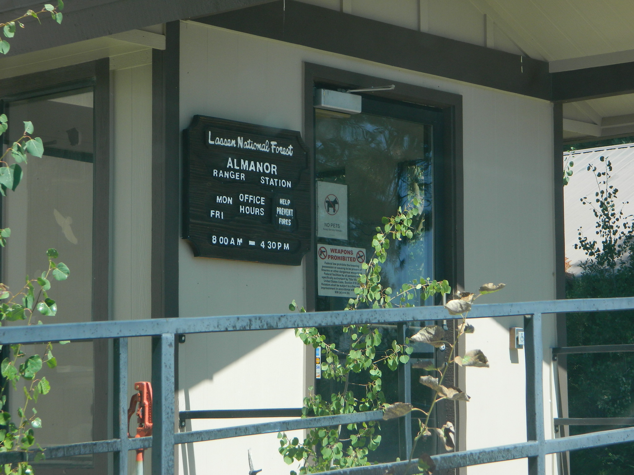
Lassen National Forest roads and trailheads, surrounding Lassen NP
Lassen National Park is completely encompassed by National Forest land with dirt roads, off road trails, serene lakes, secluded camp sites, hiking trailheads and wilderness access
California State Route 89 (highway 89) runs north/south thru the middle of the park and closes for months due to winter snow.
California State Route 36 (highway 36) runs east/west on the south side of the National Park, connecting Red Bluff to Susanville, CA
California State Route 44 (highway 44) runs east/west on the north side of the National Park, connecting Redding to Susanville, CA
East of Lassen National Park
Lassen Forest Road #10
Echo Lake, Silver Lake, Caribou Lake. Campgrounds, trailheads, backpacking, day hikes, parking, equestrian.
Crater Lake on the north side of Hwy 44
Lassen Forest Road #318
Juniper Lake Road (aka Chester Juniper Lake Rd)
N of Chester, CA
paved first 5 miles, then becomes graded dirt road for another 5.
Benner Creek runs along the first half of this route w/ Banner Creek Campground: elevation 5562′ / 9 camp sites / open May-Nov
Juniper Lake at end of road w/ NPS campground
elevation 6792′ / 18 camp sites / open June-Sept
Lassen Forest Road #312
Warner Valley Road (aka Drakesbad Road)
N of Chester, CA
10 miles long, paved most of the way, then becomes graded dirt road out to Drakesbad meadow.
Wilson Lake Road, connects Hwy 36 to Road #312
Domingo Springs Campground: elevation 5060′ / 18 camp sites / open May-Nov
Lassen Road #29N18
W of Chester, CA
Loop route off Forest Road #311 w/ North Fork of the Feather River, leading to Elizabeth Lake trailhead
Lassen Road #29N19
W of Chester, CA
Graded dirt road w/easy access. Connects Forest Road #311 to highway, paralleling Hwy 36. Lost Creek runs along this route w/ Willow Springs Campground: elevation 5100′ / 14 camp sites / open May-Nov
West of Lassen National Park
Lassen Forest Road #17
W of Lassen NP
North-South dirt road that connects highway 36 to highway 44.
Heart Lake trailhead
At the south end on Hwy 36 is Battle Creek Campground: elevation 4800′ / 50 camp sites / open April-Oct
Lassen Forest Road #29N22
Mineral Road connects Hwy 89 to Viola on Hwy 44
McGowan Lake Winter Recreation Area at South entrance of Lassen National Park
Camping North Lassen
North of Lassen National Park
Lassen Forest Road #32N13 Lassen Forest Road #32N22 (PCT crosses this route)
Twin Bridges networks dirt roads @ Hat Creek.
near Old Station Visitors Center (junction Hwy 89 & 44).
Hat Creek and Cave Campground on highway 89, Big Pine Campground off highway; Numerous dirt back roads for dispersed camping, near the viewpoint on highway 44
Road #32N20 Road #32N56 – road just south of Subway Cave near Old Station, off SR Hwy 44 lead to small Baker Lake.
Road #32N92Y side route leading from Hwy 44 to Road #32N21 along Butte Creek.
Butte Lake Ranger Station and Butte Lake Campground: elevation 5600′ / 20 camp sites /open May-Oct
Road #32N09 connects Forest Road #10 to Widow Lake trailhead and Butte Lake. Road #32N60 is Bogart Winter Recreation Area, at Hwy 44
Hat Creek Lassen Road #18 runs north/south along Hat Creek Rim. Dirt road parallels Hat Creek Valley on the east side of Hwy 89 Road #22 connects Hwy 89 to Hat Creek Rim. A popular hang glider launch area after the University of California Radio Astronomy Observatory, then the road continues eastbound to cross Pittville Rd #111 and ends up at Little Valley
Lassen NF Road #111 is Pittville Rd, runs north/south paralleling Hat Creek Rim to the east side. This 30 mile long route connects Hwy 44 to Pitt River at Hwy 299 near Fall River Mills, CA
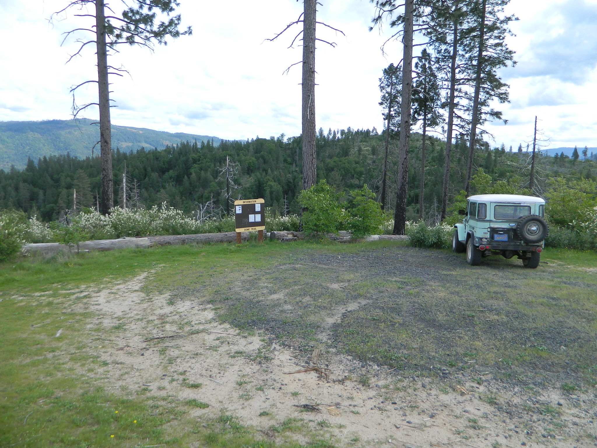
On paved Bald Rock Road a rusted metal sign reads “Dome Trail 3” which is where the fun begins, on the dirt.
3 mile drive to trailhead from pavement
4.6 miles RT hike
w/ a 2000 feet elevation drop to the river
Plumas Forest Rd #21N51Y is located in the forested community of Berry Creek – opposite from Upper Zink Road. Road 21N51Y becomes Bean Creek Rd #21N36: The forested route passes a few private properties and gates, the dirt road leads 3 miles down to an old wildfire (2008) burn area and eventually dead-ends at the Dome trailhead. The hiking trail descends down while overlooking the Bald Rock Canyon with the Middle Fork of the Feather River.
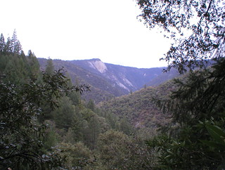
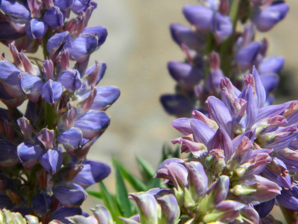
Rated as a moderately difficult hike: Steep hillsides, plenty switchbacks, downed trees across trail, boulder hopping, cliff edges, extreme heights and rock slides. Delighted by dozens of wildflowers, the old metal staircase still in use, steel pipe railings and the minimal fencing and of course, the big river deep inside an impressive rock canyon. Sierra Nevada spectacular!
Indian Creek spills down into Curtain Falls up the canyon, sometimes within view. Secluded Milsap Bar Campground is also up the river from here. The stretch of the whitewater river is popular with rafters and kayaks. Rock climbers gravitate to the big walls above. Bring a picnic lunch and water filter for this amazing all day hike.
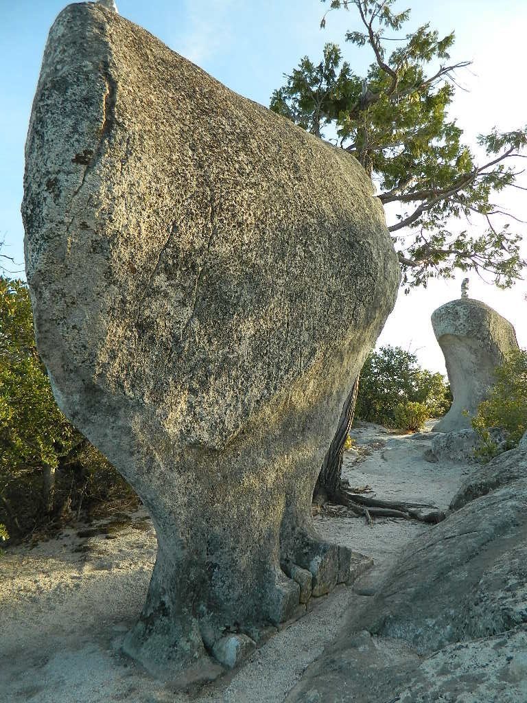
Granite Domes & Bald Rocks
There are numerous granite domes and bald rocks within the Plumas National Forest, most located near the big river canyons. This particular granite dome is situated overlooking the Middle Fork of the Feather River, and it is called Bald Rock Dome w/ 3509′ elevation.
Not to be confused with another shorter hike nearby on Bald Rock Road at a well marked trailhead for Bald Rock, which over looks the forest and valley to the west side. The official peak is named “Big Bald Rock” as listed on most maps.
Plumas National Forest Camping – Primitive Camp Sites
Spanish Creek, Quincy, CA
Plumas Forest Camping
North Sierra Nevada, Northern California
Listed below are primitive campgrounds w/ minimal facilities or open camping areas in Plumas National Forest. Plumas has excellent fishing as the big rivers & numerous creeks run thru this northern Sierra Nevada landscape. Open camping is allowed on almost any dirt road w/ a current campfire permit
Brady’s Camp
[on Pine Creek near Argentine Rock]
near Quincy, CA – east on Squirrel Creek Rd. & go 8 mi. to the campground. Elevation 7200′ / Open May – October
Bucks Lakehas numerous NFS Campgrounds and PCT access; Overall elevation 5000′ w/ abundant boating, fishing and hiking. Snow in winter closes roads. Cabins, marina, lodge, restaurants. Bucks Lake Wilderness, Gold Lake, Silver Lake
Deanes Valley Campground
[along Rock Creek] Hwy.70 Quincy, go 3.5 mi. west on Buck Lake Rd. Head south & 7 mi. to the campground. Elevation 4400′ / Open April – October
Backpacking trails w/ dirt road access. Above Chico, beyond Cohassett; on the border of Tehema Co. and Butte Co. (Lassen NF & Plumas NF)
Inskip, CA – Way up beyond the Ridge, well past Magalia and Stirling City – find dense forests, dirt roads and camping. Philbrook Reservoir w/ West Branch Campground NFS. Elevation 5546′
Ohio Valley – Seneca Road
[off Hwy 89 to southside] Primitive forest camping near Lake Almanor. ATV trails, hunting. Creeks and river camping closer to Seneca. High clearance or 4WD may be needed on these dirt back roads – depending on snow and mud. There is plenty dirt roads back here to explore.
Snake Lake
[good fishing area] Hwy.70 Quincy, go 5 mi. west on Buck Lake Rd. Head north & 5 mi. to the campground at the lake. Elevation 4200′ / Open April – October
Sierra Nevada North / Northern Sierra Nevada Mountains
the sierra buttes
Northern Gold Country, Yuba River
Sierra granite rock meets volcanic rock at Lakes Basin & Lassen NP
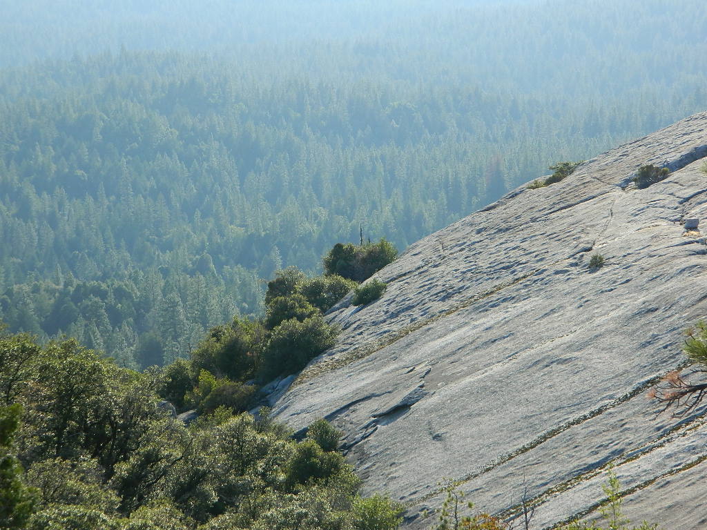
Some California maps consider Mount Lassen to be the top of the Sierra Nevada range, while other maps cut it off at Lakes Basin @ Sierra Buttes, much further south. Lassen Peak is actually part of the Cascade Range of mountains that go up the coast of the Pacific Northwest. Either way, we’ve included Lassen maps in this list.
In the hills and canyons above Chico many wonders can be found. North Sierra Nevada mountains, medium sized recreation lake surrounded by lush forest; N of Lake Oroville and S of Lake Almanor. North Fork Feather River canyon forms the northern boundary to this designated Wilderness Area. The area is popular with backpackers and PCT hikers, as well as equestrian and the region has over a dozen campgrounds. Backcountry terrain includes an impressive 6 mile long canyon wall.
The popular boating destination, Bucks Lake reservoir, is just outside the wilderness boundary, which makes for an excellent destination for day hikes. Boating, fishing, backpacking, hiking, camping, canoeing, kayaking, rock climbing, snowmobiling and mountain biking are just some of the outdoor recreation in the area. This Wilderness region features a Silver Lake and Gold Lake, as well as numerous other small, unheard-of lakes. A few can be accessed by vehicle, but more than half are hike-in only lakes.
backpacking
boating
cabin rentals
camping
canoeing
fishing
floating
hiking
kayaking
sailing
swimming
Bucks Lake Wilderness
23,958 acres
5200′ elevation at Bucks Lake
Alpine wilderness, mountain peaks, hiking trails, PCT trailheads, numerous small lakes, plus large recreational fishing lake
Bald Eagle Mountain – 7183′
Bucks Mountain Peak – 6819′
Mount Pleasant – 7067′
Small lakes around the Bucks Lake Wilderness Area
Bald Eagle Lake
Blue Lake
Cape Lake Gold Lake
Grassy Lakes
Jacks Meadow Pond
Kellogg Lake
Lost Lake
Mud Lake
Rock Lake Silver Lake Snake Lake
Smith Lake
Thompson Lake
Three Lakes
Upper Mud Lake


 Mount Lassen is part of the Cascade Mountain Range, located north of the Sierra Nevada. The Lassen forest encompasses a large area of wilderness land, snowmelt creeks and an abundant dirt road system. Most of which is covered in deep snow about half the year, so plan accordingly.


 Plumas National Forest


 On the north side of the lake is Grass Valley Bald Mountain (5906′ elev) in between Black Rock Creek and the northern shore.