Lakes Basin Area, California
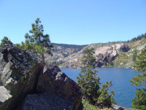
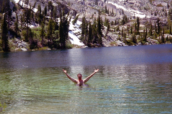
Golden gems of California, a collection of alpine lakes on the north end of Historic Gold Country, North Yuba River, Northern Sierra Nevada
EAST of Downieville, CA
California’s Gold Lake and surrounding lakes; the granite spires of the Sierra Buttes and the creeks, waterfalls, headwaters of the Yuba River — total wild beauty. Steep, granite, river canyon from Downieville drive east on Highway 49 from Sierra City to Bassetts, a gasoline and market stop; they have a small hotel there too.
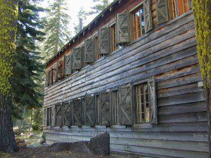
Take the left turn, north on to the Gold Lake Highway. The alpine and extremely scenic Lakes Basin Area consist of all small lakes in between Hwy 49 to Hwy 89, along GOLD LAKE HWY [Road S620] some maps read Road #24 or call this Gold Lake “Road” instead of highway. Snow closes in this route during winter months.
The impressive Lakes Basin Gold Lake Region is in the north part of Tahoe National Forest, on the border of Plumas National Forest. Plumas Eureka State Park is also nearby.
Hiking, Camping, Backpacking, Picnicking, Wildflowers, Stargazing, Fishing, Kayaking, XC Skiing, Snowmobiling
Lakes Basin Campground
- Lakes Basin Campground
- Packsaddle Lake Campground
- Salmon Creek Campground
- Sardine Lake Campground
- Snag Lake
- Goose Lake
![]()
![]()
![]()
![]()
![]()
![]()
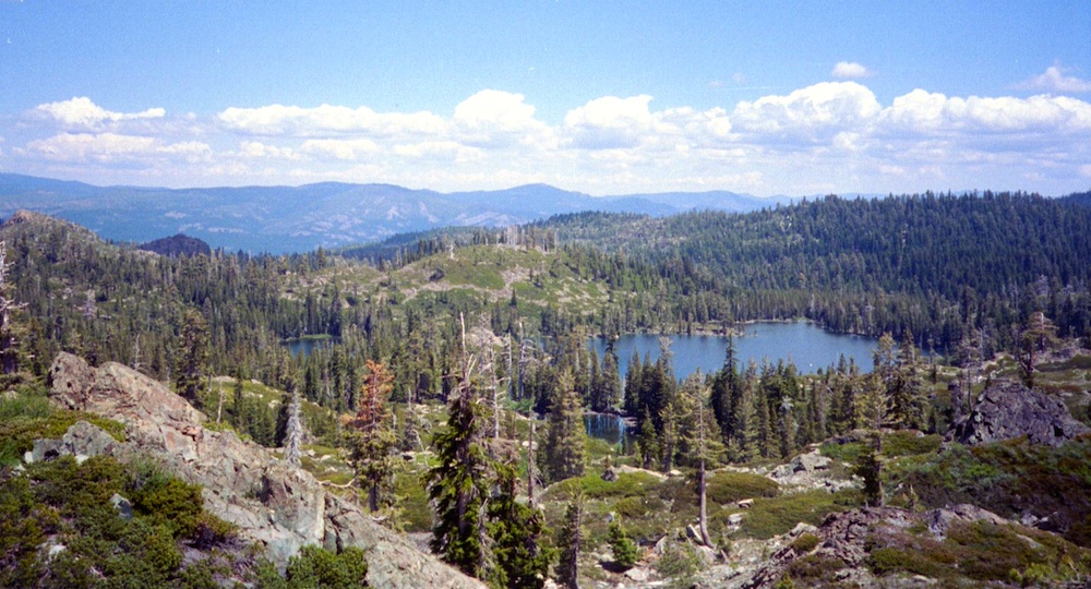
Lakes Basin Recreation Area
-
- Bassett’s Station
- Calpine Fire Lookout
- Dispersed Camping NFS
- Elwell Lakes Lodge & Cabins
- Frazier Falls
- Gold Lake 4×4 Campground
- Gold Lake Campground
- Gold Lake Lodge
- Gold Lake Boat Dock
- Goose Lake Campground
- Haven Lake Campground
- Packer Lake Lodge
- Salmon Lake Lodge
- Sardine Lake
- Sierra Buttes Hikes
- Snag Lake


Frazier Falls Trail
Length: 1 mile RT / Directions: Trail head is located on Old Gold Lake Road, about 5 miles from the Highway 89/Gold Lake Road intersection. Take the signed, narrow paved access road 4 miles to the trail head.nearby towns –
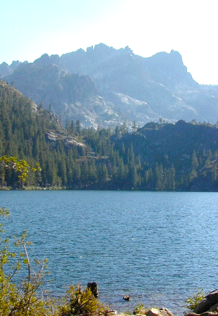
Packer Lake 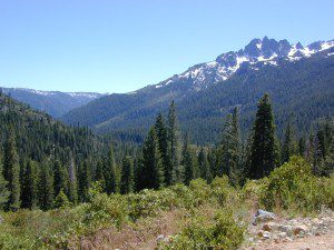
the sierra buttes


