Tag Archives: creek camping

Algoma Campground

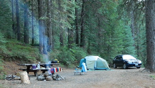
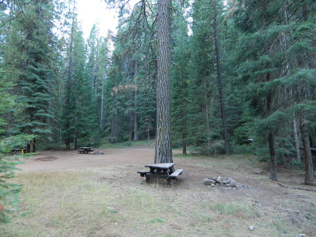
Free campground, east of McCloud, CA

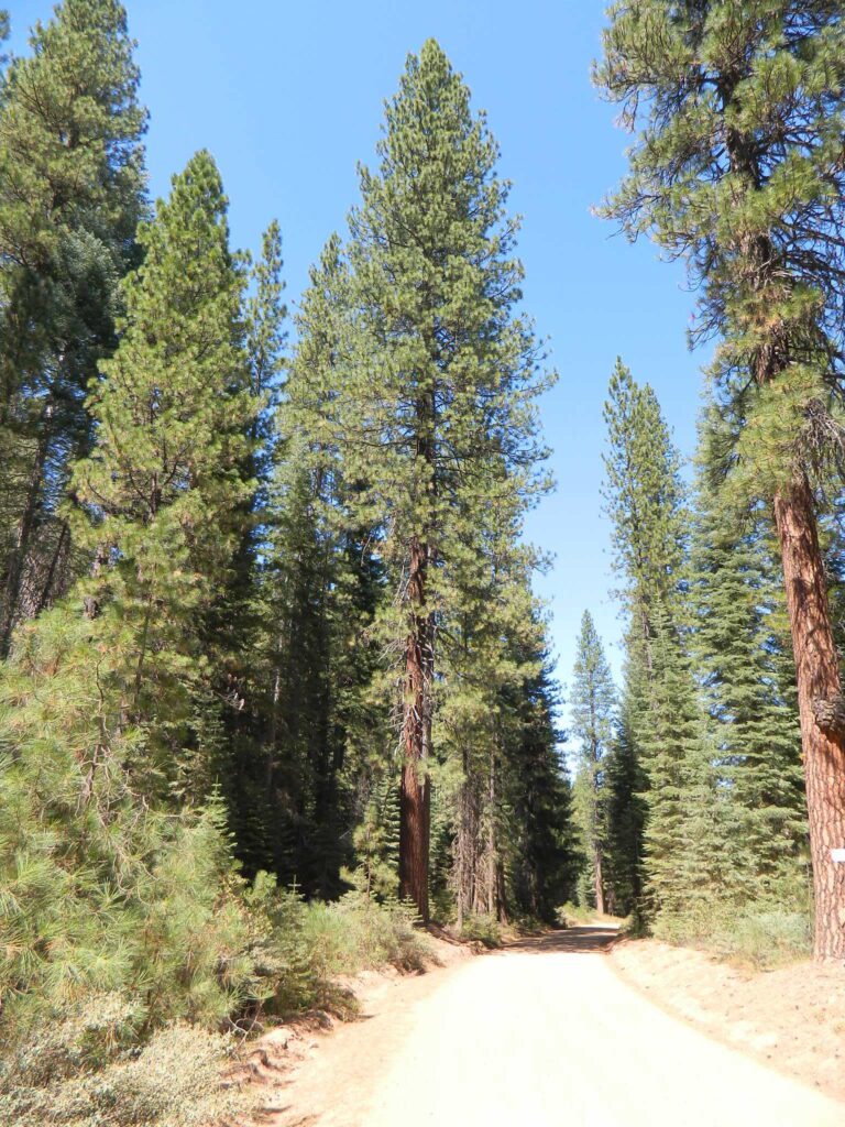
NFS Campground Algoma >>> McCloud Creek becomes McCloud River a few miles downstream from this small camp. Aspen grove, one lane bridge, dirt back roads, river hiking trail, fishing, creek wildflowers.

NOTE: This campground is NOT near the waterfalls, and it’s a 10 mile long hike to reach them.

algomacamp

  • autumn colors/aspens
  • camping
  • creek/river
  • hiking
  • hunting
  • fishing
  • mountain biking
  • off-roading
  • wildflowers
    camp

alldaylong

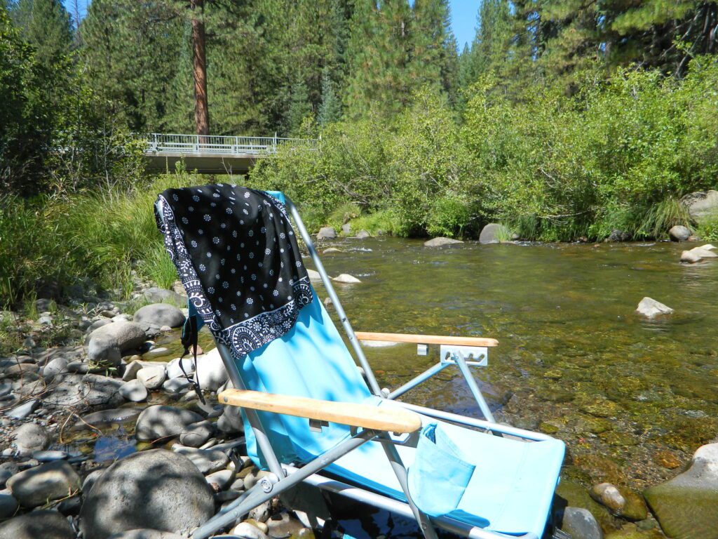
Park that chair in the creek and relax all day long.

lastalgoma

dirtroad39N06

Grizzly Peak Road #39N06,
aka Grizzly Peak Lookout Road

vanlifenorcal
Van Life, on McCloud Creek @ Algoma

Algoma Campground NFS

• Elevation: 3,800′
• Number of Sites: 8
• Vehicle Accessibility: RV 24′ max
(trailers not advised)
• Toilet: Vault
• Piped Water: No
• Campsites Reservation: No
• Length of Stay: 14 Days
• Season: May – October
• Trailheads: McCloud River Trail
• Operated By: NFS
• Closest Town: McCloud, CA

hiker

From McCloud @ Highway 89: Drive 13+ miles (east), past CalTrans warehouse.

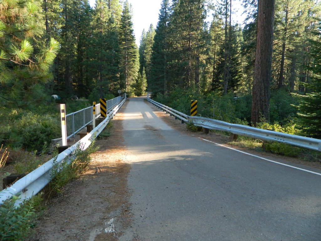
TIP: The turn-off for Algoma (Stouts Meadow) is NOT SIGNED from the highway. Rangers recommend turning at the cross country skier sign, but that sign is so small and faded, you can barely even see it. The paved road intersection is the only one around, so it is hard to miss if driving slow, under 50 mph. Turn right off the highway, and drive 1 mile to the campground at bridge.

rangerOnly two campsites on north side of bridge, and the rest are on the other side of the river. Algoma Bridge may be closed, so you can park and walk across to reach the campsites. Call ahead to find out current conditions.

McCloud Ranger Station
530-964-2184

Algoma Bridge
Algoma Bridge over McCloud Creek, California

fish

Creek Campground

Creek Campground California

creek camps California

Car campers in Southern California dream of the perfect setting: an uncrowded campsite, in a lush forest, with tall trees & flowing stream of crystal clear water. A swimming hole nearby, plus a place for the hammock. They also want it less than a 2 hours drive from their home. Unlikely.

The real California rivers & mountains are in the northern half of the state, while the lower is more like a desert. You will need to drive hours to reach these kinda spots. The Sierra Nevada mountains are the closest bet for finding a creek side camp. Lassen is next, for exploring numerous dirt roads that lead to secluded spots. Northern California, above Redding usually has water flowing and decent fishing, even in the driest years.

camp

Read more on specific California camping techniques:

Steamside Camping

Biodegradable Camp Soaps

Environmental Camping

Creek Maps

camp groundsDeveloped campgrounds located next to rivers, creeks, or streams can be found on the back roads of California. Below is just a sample of small towns that have creek campgrounds nearby:

primitive campsMany of the best creek camp spots are located outside of developed Campgrounds. Most we suggest on this site are located on dirt roads. Some routes may require a 4×4 vehicle, or high clearance 2WD.

stream campingNOTE: you will need a good map. Topographic or National Forest maps

thin blue lines – You’ll know a decent road when you see it. But when you are starting out at home, you need to concentrate of what dirt roads are along what water sources. And will these streams be flowing at this time of year? Many are seasonal creeks & can dry up in late summer. The most likely place to find great water flow is to look for the streams flowing directly into a major river or Lake/ Reservoir.

cabin campingAnd if you are really not into to roughing it, but wanna find a CABIN on RIVER or CREEK, check out our extensive list of all vacation cabins here, California Cabin Rentals

holeinthegroundsign
Lassen Camping near a creek in Northern California
Baker Creek
Upper Baker Creek, Inyo NF – 4×4 Camp
vanlifenorcal
Van Life, on McCloud Creek @ Algoma