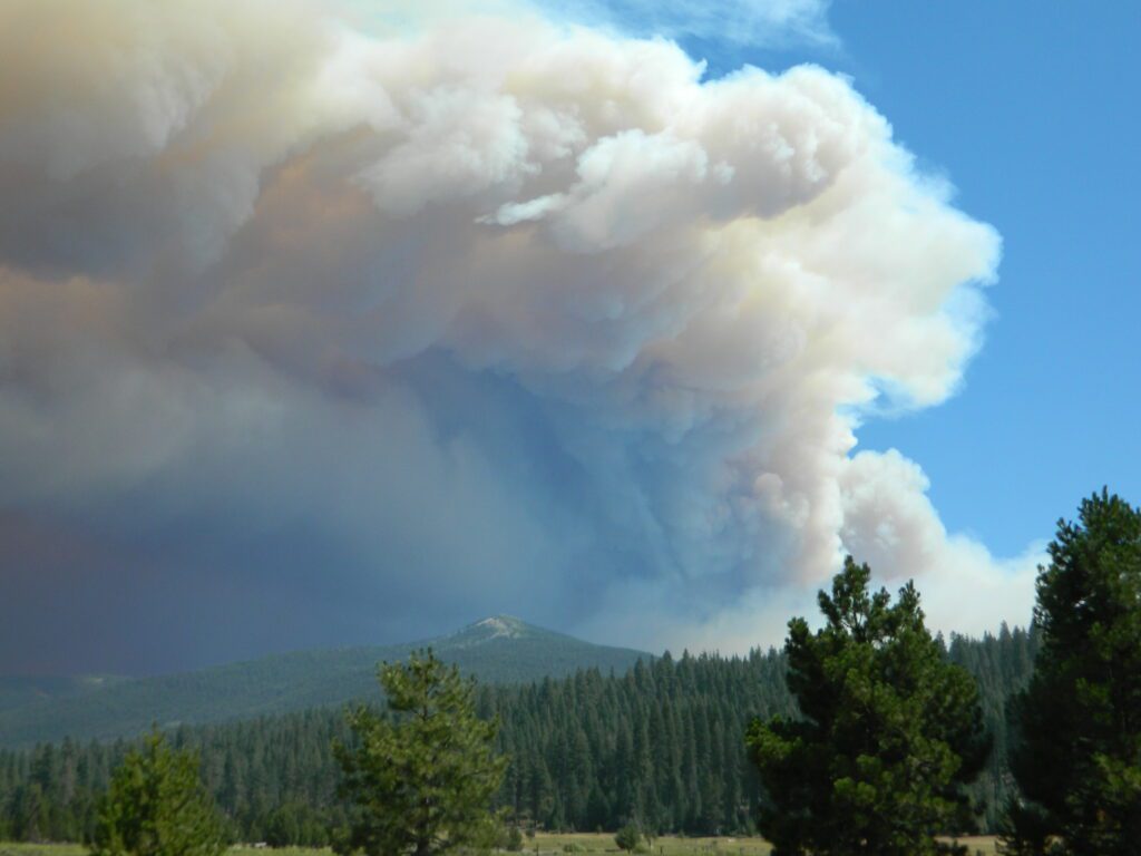
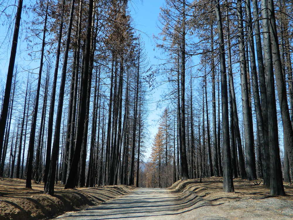
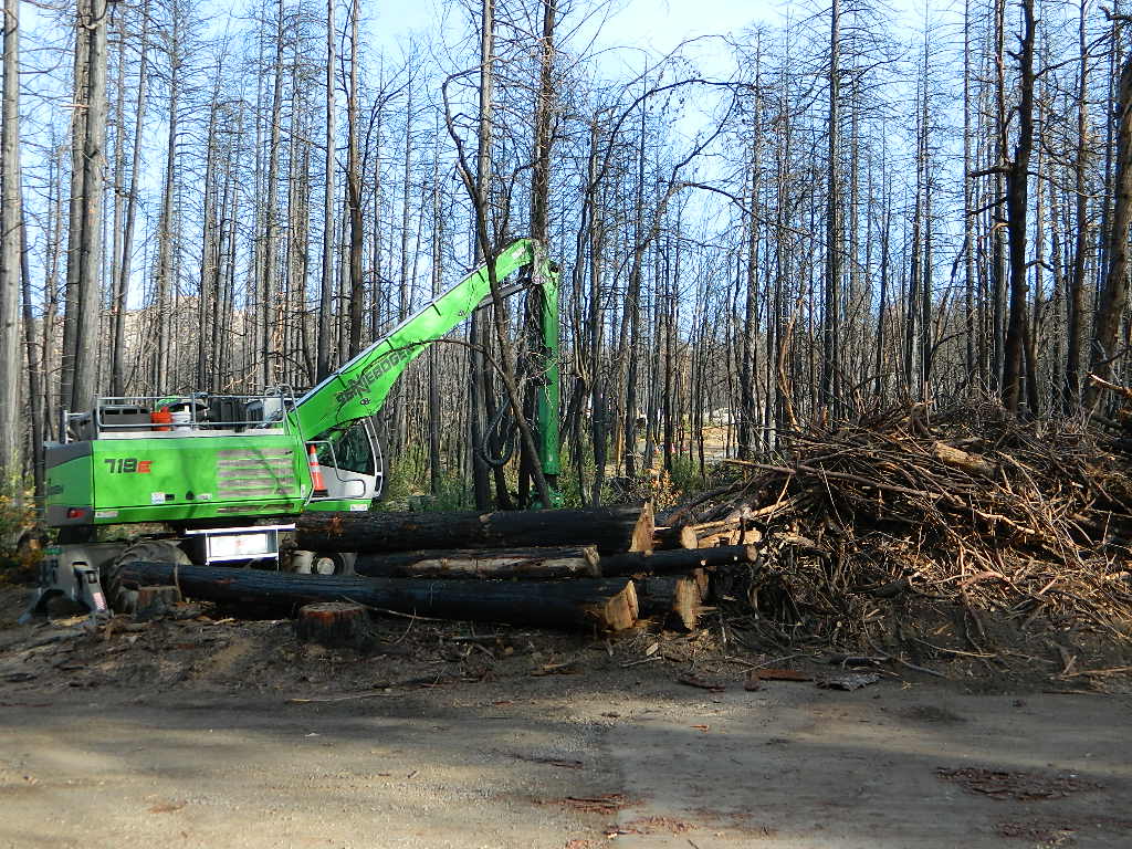
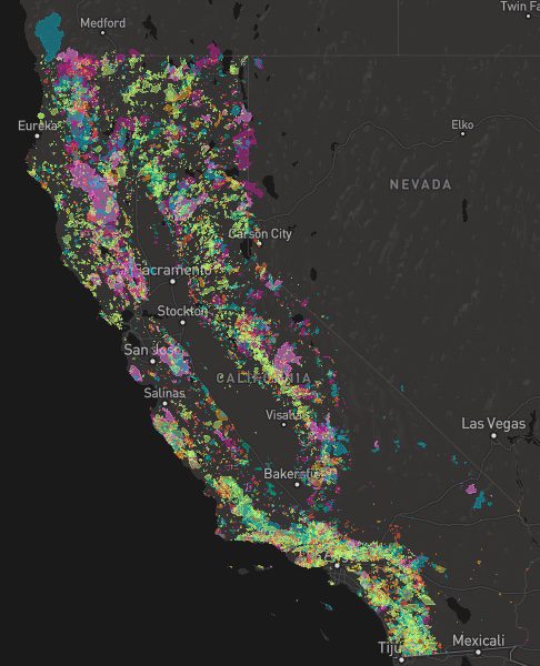
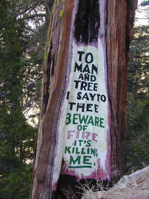
A list of recent wildfires in California, with counties and acres affected. Forest fires listed here are the ones that have affected public lands – like National Forests, National Parks, State Parks and BLM land.
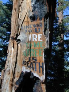
On public lands you may see signs like –
Warning: Entering a Burned Area Potential Hazards include:
LOOSE ROCKS
FALLING TREES + LIMBS
STUMP HOLES
FLASH FLOODING
DEBRIS FLOWS
>>> Entering a CLOSED FOREST with burn scar is a crime and can result in jail time. Check USFS forests web site for current closures.
Forest Fires listed below are alphabetical. Green & blue links to more data on these wildfires.
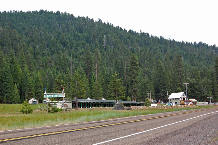
on the Lassen National Forest map this huge meadow area along Highway 36 is marked as “Childs Meadows”
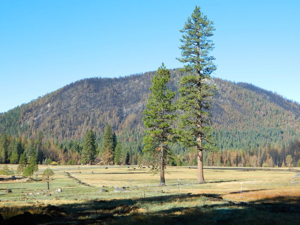
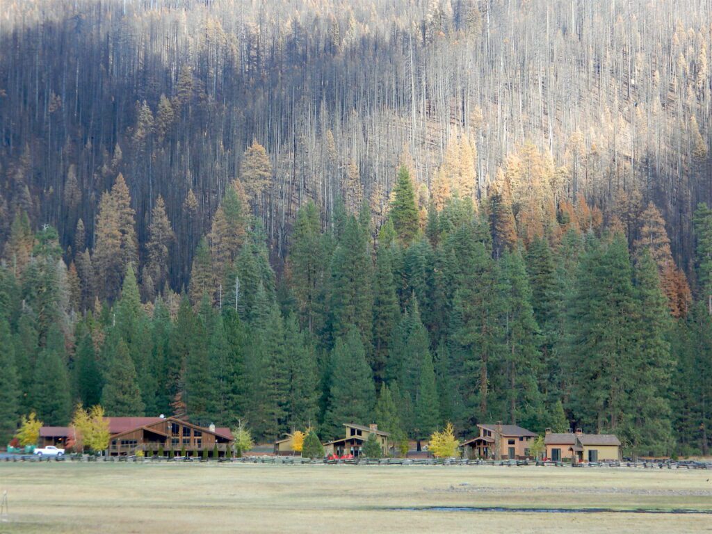
Morgan Mountain above Childs Meadow after the fire 2021
Childs Meadow sits at 5000 feet in elevation, on the edge of the Mill Creek drainage, just south of Lassen National Park. The meadow spans from Mill Creek, eastward along State Route 36 for many miles. Gurnsey Creek flows down Wild Cattle Mountain, near the resort, crosses the pavement, and heads east to meet up with the Deer Creek drainage above Chico, California
This sacred meadow was the summer camp and ceremonial ground for native tribes that existed long before the white men showed up. The meadow basin was originally owned by J.C. Tyler who used it for summer grazing land. He established a resort about 1864 and by 1896 it was a regular stage stop for travelers.
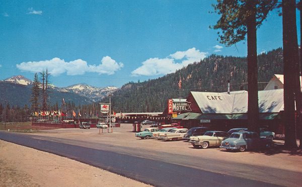
In 1900, Tyler sold the land to Abner Nanny who used it for summer grazing. Frank Childs purchased it in 1909 and also grazed livestock there seasonally. By the late 1930s a service station and cafe had been established. Then came cabins that were the precursor of the privately owned Childs Meadow Resort, which burned down some time later. These days Highlands Ranch Resort is the newest place to call this location home.
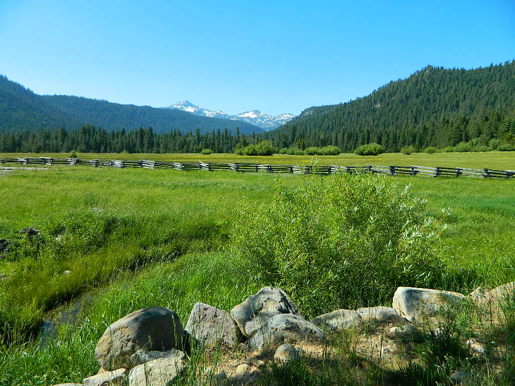
Lassen: Childs Meadow (before the fire)
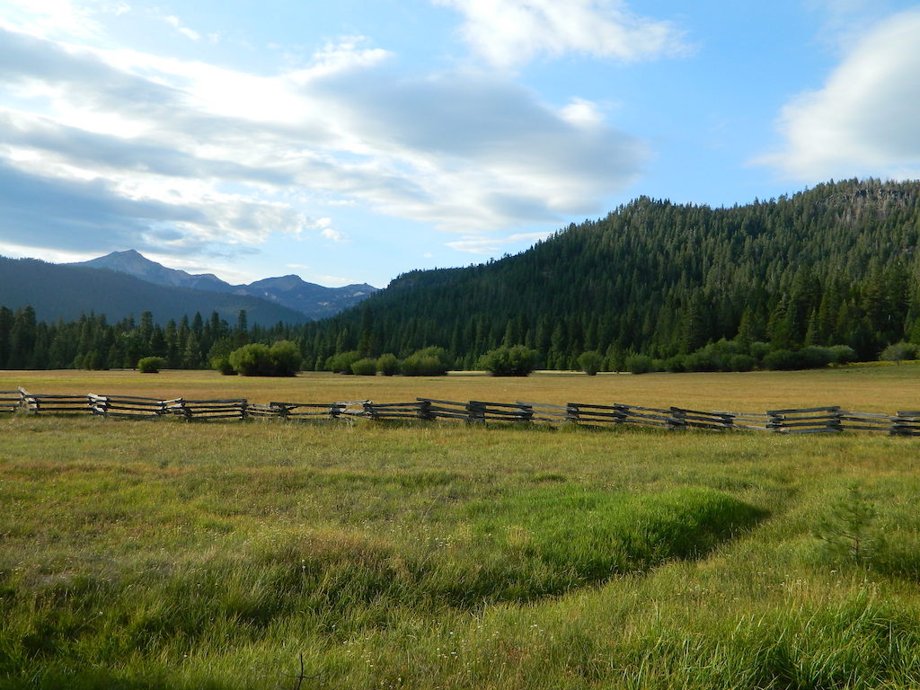
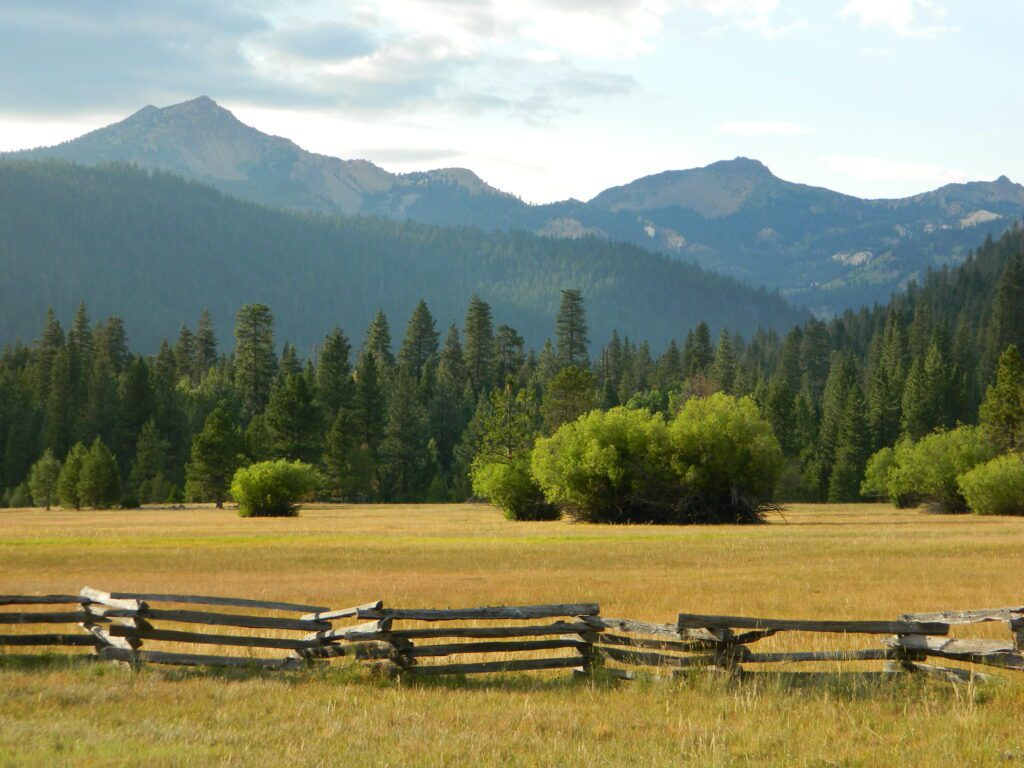
July 2011 vs. July 2021
What a difference a decade makes. Drought in California makes a green meadow brown!
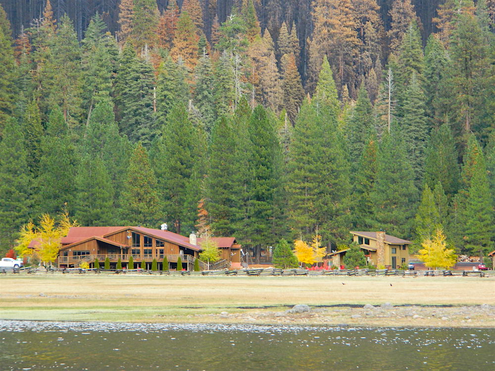
Upscale Highlands Ranch Resort – Bar, Restaurant & Cottages
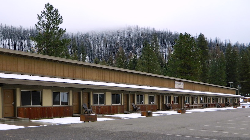
RENOVATED (2017) across the street Village Inn at Highlands Ranch
Village Inn @ Childs Meadow, South Lassen
MOUNT LASSEN MEADOWS
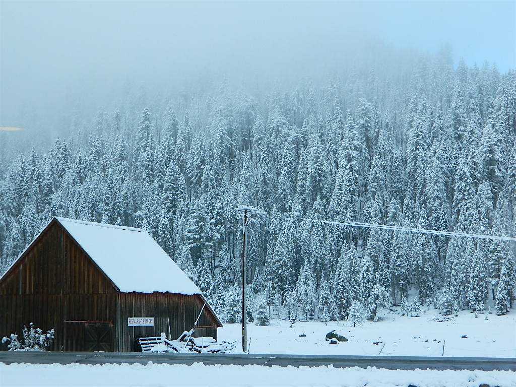
Lassen Peak @ 10,457 feet has the highest known winter snowfall amounts in California. There is an average annual snowfall of 660 inches, and in some years, more than 1,000 inches of snow falls at its base elevation of 8,250 feet.
and a month later (after I start this post)…
AUG 2021 the DIXIE FIRE
Highlands Ranch Resort with Dixie Fire burn scar on ridge above 2021
As for the spelling on the name: Childs Meadows is commonly seen on USFS maps, and found inside a book called Tehama County Place Names.
Most locals know it as Childs Meadow, but it also seen spelled with an apostrophe s – Child’s Meadow
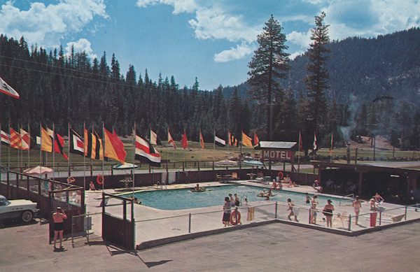
Swimming Pool at Childs Meadow Resort (1950s postcard)
It was another one of those long and tiring days in the office and all I wanted to do was find myself on a open highway heading out of town. So right after the time clock struck five, I raced home, picked up my bags which were packed with my clothing and gear the night before, stopped at my girlfriends home to rescue her from the mundane existence of the apartment, we found ourselves finally on our way into snow country of the Sierra-Nevadas.
Our destination was a small resort community called Lakeshore CA, situated on the shore of Lake Huntington between the Ansel Adams and John Muir Wildernesses in the Sierra National Forest. The drive up the mountain at dark was breath taking and clear, a night in March with a full moon out and a fresh blanket of snow gracing our presence all around us as we drove our truck through the winding mountain road. The temperature must of been in the teens that night but that didn’t faze us as we looked out of our car windows at the spectacular sight Mother Nature had in store for us. Soft snow pillows hung on tree limbs everywhere, glistening moonlight bounced off the gentle lake as we drove along side and huge snow drifts towered on the road shoulder as we traveled to our resort lodge destination.
At first we thought it would require more map insight in finding the lodge under such wintery conditions. But to our surprise, the road we had been traveling on, Highway 168, just dead ended at our weekend getaway. The check into the lodge was fast and simple, soon we found ourselves settling into a decent rustic cabin with drifts of snow twelve feet high all around. Thanks to the constant plowing of roads, everything was accessible within reason due to El Ninos erratic behavior.
The next day we became captivated by the raw beauty of waking in a wintery wonderland, hardly hours away from the hustle and bustle of the big cities of Los Angeles and San Francisco. After a bit of exploring around the frozen lake, we took off on a rented snowmobile for the back country where we became amazed by gorgeous mountain lookouts.
Untouched wilderness full of snow-capped mountains, lost tranquil valleys, and frozen pools and streams locked in a time zone of raw beauty.
I wanted to stay gazing for hours but our destination was deep in the wilderness valley about twenty miles away. There after passing through woodsy trails and snowy spectaculars we arrived at our place of relaxation, the Mono Hot Springs. This out of the way spot has been frequented over the years by naturalists like ourselves who have pulled off the trail to dip into the eighty degree plus waters that caress the body with mineral rich fluids.
Never have I been so relaxed in an environment with no one around for miles, white snow all around with a trickling stream close by for awe and amazement. If it wasn’t for the deadline for the snowmobile return, we could of stayed at this place til sundown. The ride home on the machine, my body seemed to be thanking my mind for bringing it to such an inspiring place. My mood was calm and invigorated by the mountain waters & scenery.
epic views over snowy Sierra
Back at the lodge after freshening up, my girlfriend and I discussed how lucky we were to be able to experience activities like these that really don’t require throngs of urbanites to complicate and mettle up our space. That night we enjoyed and excellent meal inside the lodge dining room which didn’t weight us down. Then over to the saloon we went to indulge in spirits, a small wedding party was happening were participates graced our presence with drunken humor. Even though they looked like the stereo typical yuppies, this didn’t bother us as we knew that they had come to the same spot to be enveloped by the sheer beauty and splendor of Lakeshore, California.
Spring 1998, by Chris DiNenna
Large portions of the Sierra Nevada were greatly affected by recent wildland fires. This area was burnt by forest fire 2020 Creek Fire
From Mammoth Pool to Edison Lake, huge, old growth forests ignited in a major wildfire along the upper San Joaquin River, inside Sierra National Forest. Military helicopters rescued stranded campers by the hundreds, as seen on the nightly news.
BEWARE: this land may not look anything like the photos
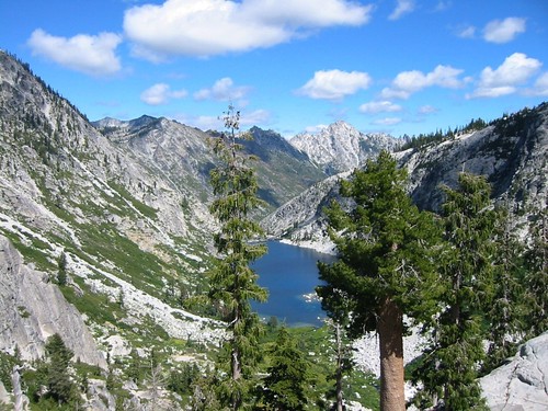
Trinity is NorCal’s jewel of alpine lakes and granite peaks – many above 8000′ elevation, about 40 miles inland from the ocean. Trinity is located in between the infamous redwood coast and the I-5 corridor. Rivers, creeks, lakes, and trails into the high elevations regions, bqckpackers and equestrian campers alike.
Hiking trailheads are accessed from all sides -On the east side you have Trinity Lake & Trinity River w/ Highway 3 running lengthwise in a north-south direction. Hwy 299 runs east-west along the south side of the wilderness. Klamath River Hwy 96 lies on the west side of the wilderness. Salmon River, Scott Mountains and Cecilville are north of the alps.
Both the small Russian Wilderness & the larger Marble Mountain Wilderness are located to the north of Trinity Alps, along with rural towns near the Scott Mountains and the Salmon River. Castle Crags Wilderness is to the eastern side, near Interstate 5.
The mountainous area is quite unique, as exposed granite mountain peaks and alpine lakes are pretty rare in the coastal Cascade ranges. The only other spot in California that has an 8000′ peak nearing the coast is just north of Los Angeles – Los Padres’s Mount Abel & Mount Pinos peaks, both over 8000′ in elevation.
TRINITY ALPS TOPO MAP
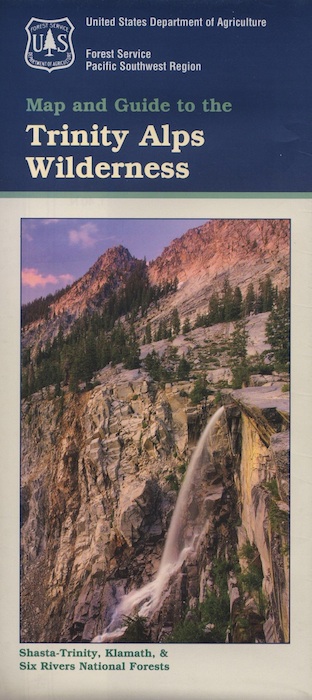
The USDA map for Trinity Alps Wilderness was outta print for nearly 2 years and it has recently been updated and reprinted. New edition released in 2013 and now available at the Total Escape map store. Printed on waterproof map paper and updated in 2012.
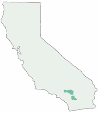
Road conditions on dirt roads change with the weather and the seasons. This route can be rocky and uneven in spots. One lane road, on a big hill w/ minimal pullouts. Snow is possible, during winter & springtime. This route often closed during winter months – or for rock slides. Trailers and RVs are not recommended on this dirt road, although small motorhome campers can try.
Elevation approx 6000′ @ HWY
w / route continuing up to Toro Peak @ 8740′
NFS local camp sites:
Santa Rosa Campground
Santa Rosa Springs Campground
Toro Campground
Bare bones, primitive camp sites. Tables, fire rings. Must have a campfire permit for this region. Vault toilets? None.
Did I mention the wind yet? Tall trees do block a majority of the wind, but some areas get whipping – so choose your tent site wisely. And stake it down well, before that quick day hike. Since this is a mountain ridge line, expect thunderstorms, wind and possibly light snow.
The big, famous Palm Canyon in Palm Springs starts below. The impressive desert canyon trails lead up to highway 74. Continue on foot uphill, southbound, cross the pavement, and end up in this Toro Peak region. Small campgrounds, few people, great views over the desert. Pick a smog free weekend (with wind) for best Coachella Valley views.
areas include: Kernville, Kern River, Lake Isabella, Sherman’s Pass, Kennedy Meadows, Forks of the Kern, Western Divide Highway, Camp Nelson, Kings River, Hume Lake & Sequoia National Park
Listed below are all the Sequoia National Forest campgrounds, public lands for outdoor recreation. USFS
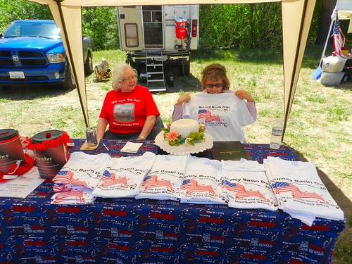
Held in the hills above Redding in the mountain town of Burney. The impressive volcanic Lassen forests, with small town events like Burney Basin Days draws tourists from near & far.
Parade, fireworks, craft fair, breakfast and lunch, car show, bed races, horseshoe throwing competition and a cornhole tournament. Plenty of great camping all around this location. The few local motels fill up fast during summer months.
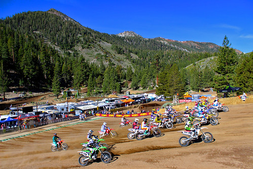
Dubbed the ‘oldest continuously running motocross event’ in the United States. This Eastern Sierra event draws some of the best dirt bike riders in the world.
CALIF WILDFIRE:
Bear Fire, North Complex Fire @ Berry Creek, CA
Sequoia Swipe
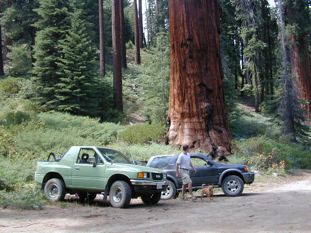
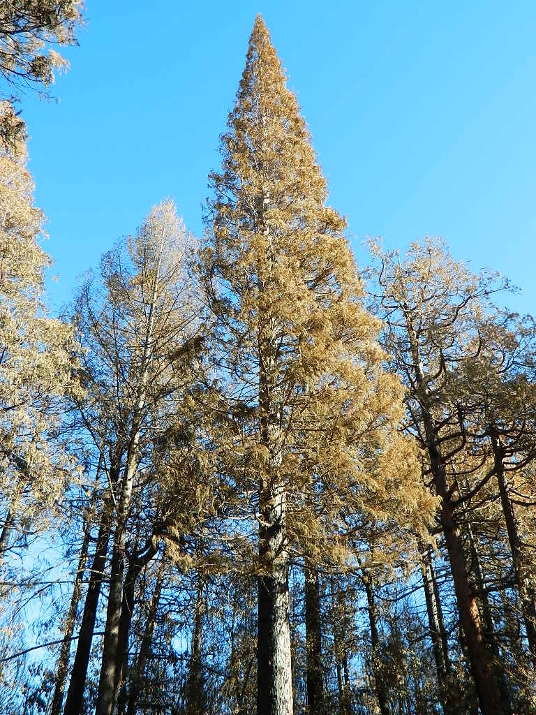
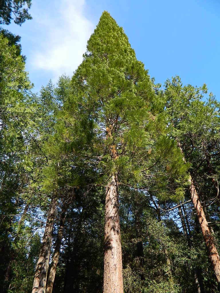
No this is not Sequoia National Park, nor Giant Sequoia National Monument, although certain historic groves did burn this past summer – inside Mountain Home SF.
This Sequoia here, is the best tree in our front yard.
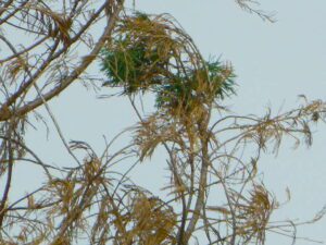
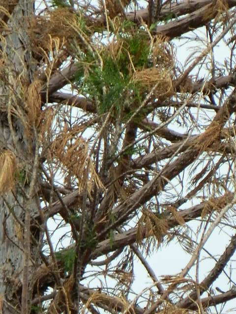
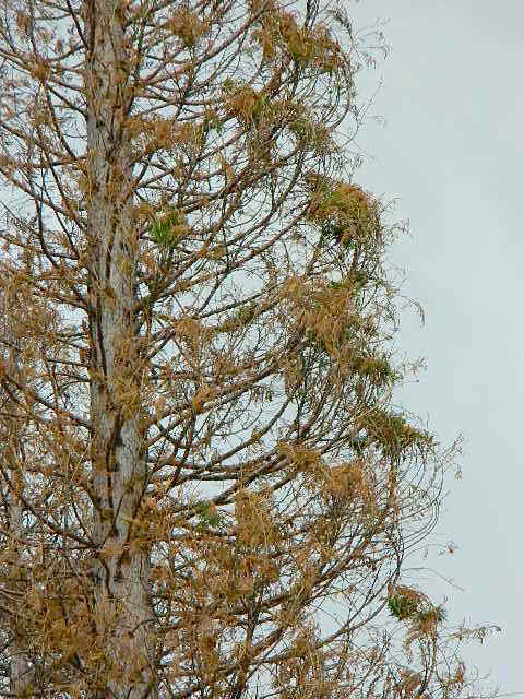
Some say that older Sequoia trees can withstand fire, but not if the fire burns the crown (tippy top). Since our tree is young (60+ years old), compared to most Sequoia trees, we’re not too sure if ours will survive. But we have been watering it for months and hoping for a good winter rain w/ snow.
UPDATE DEC 2021
Puff of green started appearing late Spring. However minimal, I still got excited enough to photograph it.
Mostly brown, but green appearing May 2021.
Holding out hope for the Sequoia.
We watered this Sequoia all summer (2021) long and now we have a good rain spell in Autumn heading into Winter, so I am hoping our Sequoia – plus the neighbors 2 Sequoias, can make a serious come back.
SEQUOIA PROGRESS
Will keep posting our growth progress, as soon as I see more green – mid 2022.
No one is sure when these Sequoia trees in the Berry Creek region were established, since these pre-date our knowledge and the county records.
June & Curly may have planted these back in 1950; or maybe Mr. Coe or Sorensen around 1960. Could it have been the Maidu tribe (native Americans) who transplanted seeds from south to north? Doubtful.
McCloud California holds a late May fair on Main Street; Mushroom Vendors, Wine Tasting, Special Mushroom Delicacies, Cooking Demonstrations, Music, Live Bands & BBQ
2 day event held every Memorial Day weekend, the McCloud Mushroom, Music & Wine Festival celebrates the proliferation of wild mushroom hunting that occurs every spring in Shasta National Forest
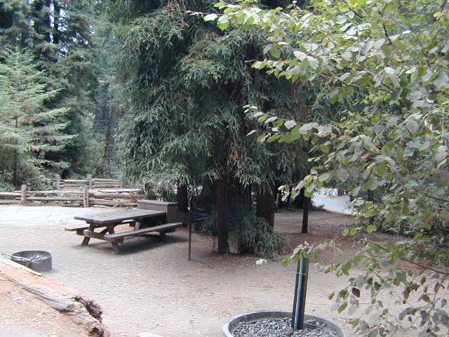
Samuel P Taylor State Park
Samuel P Taylor Campground
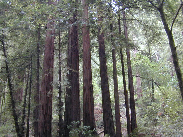
SamP is one of the large redwood parks north of San Francisco, CA. Coastal redwoods can be found in the mountains above Santa Cruz, as well as on the Point Reyes peninsula in Marin County. Hiking in the region is amazing w/ enchanted forests, dramatic fog, waterfalls, numerous trails in every direction.
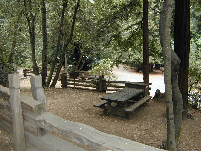
One of the best developed campgrounds in the region for car camping and RV campers.
Consisting of several camp loops, a group camp site, a horse camp and hike-in or bike-in camp sites. There are even cabin rentals in the park. This park has several camp sites that can accommodate visitors with disabilities. Reservations are highly recommended, especially during summer months. Be prepared to pay hefty fees for overnight use.
Max RV Camper Length: 31′
Max Trailer Length: 27′
Creekside Loop
Orchard Hill Loop
Madrone Group Site
Madrone Cabins
Horse Camp
Hike & Bike in Sites
(8 person max)
Samuel P Taylor State Park
59 developed campsites
+ cabin rentals
Sir Francis Drake Boulevard
415-488-9897
GIANT SEQUOIA: in between Sequoia & Kings Canyon, inside Sequoia NF
This chunk of National Forest land is perfectly located in between 2 very popular National Parks – Kings Canyon and Sequoia. This primary paved road leads to some great camping, a perfect option for NOT camping inside the crowed National Parks.
Turn east off of Sequoia ‘Generals Highway’ 198, on to the well signed Big Meadow Rd. There is primitive camping all over this area & a few developed campgrounds along this route. Motorhomes be warned: the road narrows to one lane with no “turn outs” or U turn spots for the last 10 miles (on a steep cliff w/ large overhanging rocks)
In the first few miles, the dispersed camp sites on the right side have great views & some situated on fairly flat granite slabs, perfect for astronomer campers or adventurous RVs. To the left side of the road is more primitive style campsites in wooded areas. The whole area is also a very popular cross country ski & snowmobiling spot for winter recreation. Hunters also like these camps during hunting season (in September).
There is a developed Horse Camp on the left side of the road for equestrian campers. This camp is located across from the biggest meadow and may be the first place you notice on this drive.
Buck Rock Campground (7600′ elevation, 5 spots) & Big Meadows Campground (7600′ elevation, 25 spots) are both family style camps, perfect for those who want picnic tables, plus bathroom nearby. Sorry no flush toilets out here, only pit toilets.
Buck Rock Fire Lookout Tower @ 8500′ elevation – is located to the north on Forest Rd # 14S02. It’s a great spot for some impressive views – if you aren’t afraid of heights. To reach the tower you must climb several flights of steel steps. This place is worth a stop if planning a sightseeing day.
Big Meadows Guard Station @ 7500′ elevation (also known as Big Meadows Cabin), is located next to the BIG MEADOW and is available for rent on a weekend basis from the NFS. Hiking Jennie Lakes Wilderness and fly fishing Big Meadows Creek are favorite activities to be enjoyed.
Big Meadows Road is long & narrow – 12+ miles. RVs are not recommended beyond the Big Meadow Campground, as the road is one lane in some spots & it skirts a cliff edge. The views are incredible the farther you go & many creeks feed the region.
The narrow, long paved road eventually forks off into several smaller dirt roads back near Horse Corral Meadow. Way back here, the dirt roads lead out to trail heads for backpacking, horse packing or day hiking in Jennie Lakes & Monarch Wilderness. Backcountry access to either Sequoia or Kings Canyon National Park! Have a good map if you plan to venture out this far. Pay attention & don’t get lost.
GPS would be helpful in this area. Some of the smaller of the dirt roads are not even on the NFS maps. Make sure to GPS way-point your favorite camp site, so you can find in next time…. in the dark.
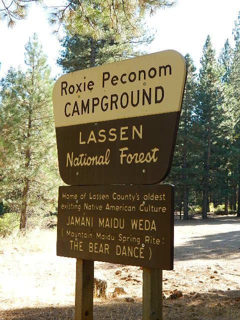
This pine forest is home to the developed NFS campground – which has been named after the tribal elder. The camp location is a sacred spot to the local native tribes. Just above Susanville, CA on the west side, south of the highway; forested w/ creeks and aspen groves. Autumn colors can be found in the creek beds.
Dirt roads all over the place, leading to far away destinations like Diamond Mountain, Antelope Lake and Taylorsville. The backcountry region was recently damaged by wildfires: 2020 Sheep Fire and now the Dixie Fire
FREE CAMPING – W Susanville, CA en route camp
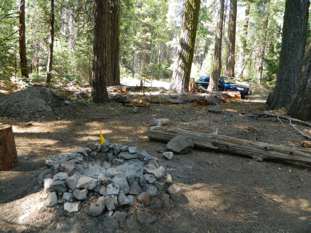
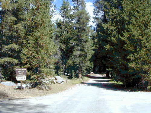
Less than 3 miles of dirt road #29N03 driving will get you back off the highway and into this forest, Hwy 36 W of Susanville. Bring the mountain bike for abundant usage and a week of exploring.
Only 13 miles to downtown Susanville, via the back road. Chaney Creek Road is a main dirt road near Highway 36, which parallels the river, the red rock bluff and the road, downhill into town.
This FREE campground is popular with the hipcampers and pediums – and gets rave reviews; small RV campers do like to use this camp spot, if they don’t mind a little dirt road driving; they’ll need to park in the dirt parking lot, 40+ feet away (not adjacent to the picnic tables or fire rings).
camping
ceremony
drum circle
fishing
hiking
horseback trails
hunting
mountain bike
off road trails
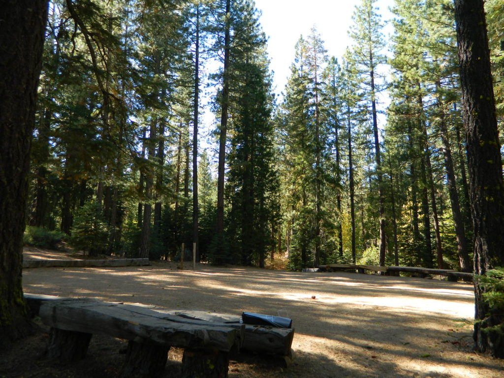
Bear Dance Circle @ Roxie
walk in campground, and close to town
Walk-In Campsites @ Roxie
AUG 2021 – CLOSED due to the Dixie Fire
Roxie P Campground
Susanville, CA – Lassen NF
• Elevation: 4,800′
• Number of Sites: 10 (walk-in only)
• Vehicle Accessibility: any
• Campsites Reservation: No
• Campsite Fee: No
• Length of Stay: 14 Days
• Season: open all year
• Trailheads: Diamond Peak
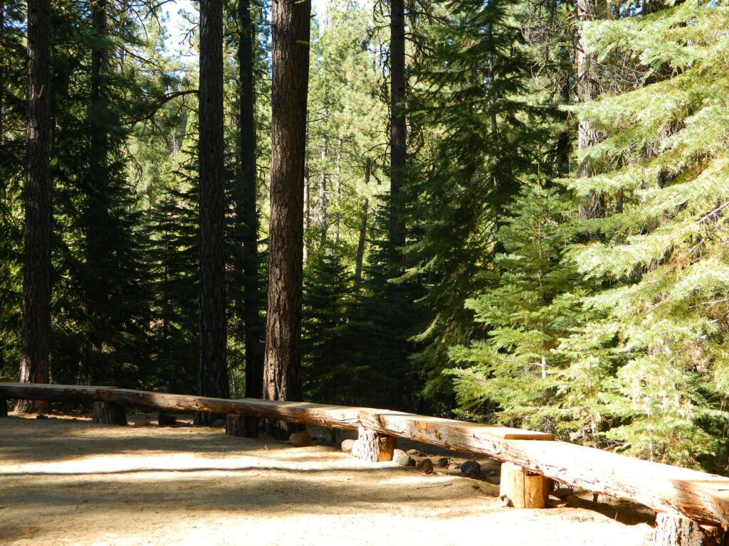
Flat forest and easy to walk. Shade and pine needles, picnic tables and group fire pits. All facilities are encompassed with a sturdy wooden, fence line. No RV or trailer access to camp sites. Mountain bikers like this spot and so do horseback riders. Travelers passing through eastern California will welcome the convenient location, plus the ease of dirt road.
The Roxie Camp is situated near Willard Creek on the south side of the Highway 36, close to Susanville. Willard is a feeder stream into the Susan River, which flows into town. Quiet camp, most of the time. If a big family is camping here w/ children, or there is a tribal gathering, it could get loud.
PLAN B – head over to Goumaz Campground NFS, due north. Located in between, near the junction of Hwy 38 & 44. Near the railroad tracks and the Susan River. Smaller camp near the NRT (National Recreation Trail), the Biz Johnson Trail (BLM). 2021, this camp is CLOSED!
so find someplace else: PLAN C
(make sure any camp is open by calling rangers before traveling).
OHV activity may be passing the developed campground, but are discouraged – due to the layout of camp. Plenty spots for ‘froaders further out – at the end of the road. Way back there!
Jeeps, 4×4 trucks, quads, dirt bikes, anglers and hunters travel these dirt back roads, as well as rangers, campers, horses, mountain bikes, and big logging trucks. 25 mph slow is always best. Daytime headlights help you get seen in the shadows. Forest is dense and road conditions are ever changing.
Forest Road #29N03 is Gold Run Road, the bumpy dirt road – that skirts around Diamond Mountain on the south side. Lots of one single track or one-lane dirt roads, which will require a National Forest map or a decent topo map to navigate properly.
OHV is common in these areas, but not so busy at this camp. If you seek peace and quiet and solitude, know how to read a map and where the noise is expected to be. Avoid the OHV areas, if you want to nap in the hammock and read a book.
Wild red necks with guns live in NorCal, so pay close attention to property lines and trespassing signs.
USFS Ranger Station is located on the west side, just outside of town, on the wide downhill grade on the highway @ the Eagle Lake turnoff. Cal Fire station is also located along this stretch of road.
Lassen National Forest
Ranger Station USFS
CA-36 @ Eagle Lake Rd
Susanville, CA 96130
530-257-4188
Cal Fire Station
697 CA-36, Susanville, CA 96130
530-257-4171
Spacious Camp @ Aspen Grove Campground, Eagle Lake, CA
Large, flat campground at the lake, with shady forest and common parking lot. Bathroom with running water and flush toilets are part of the amenities, along with wheel barrows for transporting your gear to distant camp sites.
Walk-in Camp sites: A few camps are located close to the parking lot, but half the sites require a short walk to reach. Firewood is sold by camp host, or bring the saw to gather free wood on the nearby back roads. There is literally TONS of free firewood on the dirt roads.
Walk-in only season is from Labor Day to December 31st
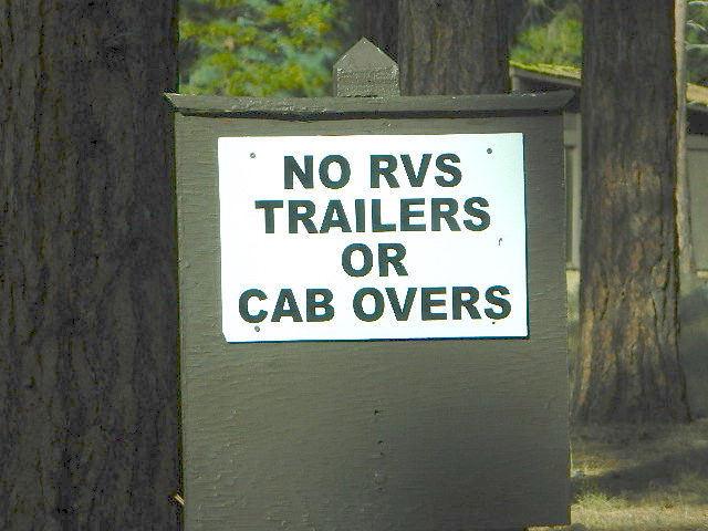
This is a tent-only designated campground with flush toilets, next to a lake. What luxury! Camping vehicles of any type (vans, motorhomes, truck campers) are not allowed in the campground. No generators at all, makes for peaceful camping. Wheelbarrows are provided to assist moving camping gear to and from campsite.
Aspen Grove Campground
• Elevation: 5,100′
• Number of Sites: 28
• Camping Reservations: Yes
• Sites Available: First come, First serve
• Vehicle Accessibility: no RVs
• Length of Stay: 14 Days
• Water: Piped water
• Toilet: Flush
• Season: Closed winter & spring
• Fee: Yes
• Operated By: National Forest Service
• Closest Town: Susanville, CA
Large Eagle Lake, N of Susanville, CA
Walk In Campsites, in the forest near the lake.
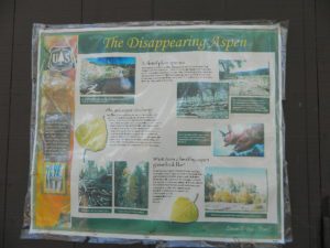
Poor aspen grove. USFS Lassen National Forest WTF?
What they fail to mention on the .gov
National Forest web site:
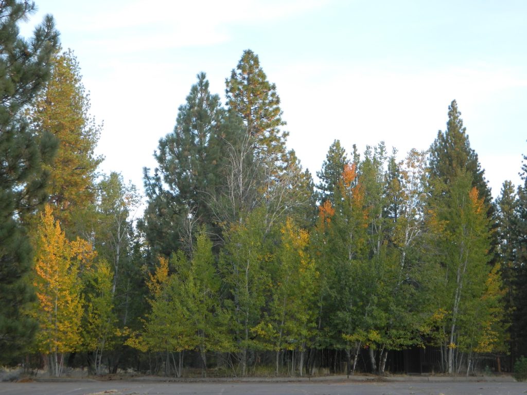
The largest aspen grove at this lake & camp is buried under pavement. Yep, that’s right.
The trees are bursting through the pavement hungry for growth. On the west side of camp, where the old boat launch used to be – before they realized it was the ideal spot for birds / wildlife and moved the boat ramp a mile or so away.
your tax dollars hard at work?
Now the ‘authorities’ should (manage themselves) to tear up all the old, unused paved parking lots, so the poor struggling aspen trees can make a come back. Autumn colors could be better at this location, and this aspen grove could be bigger and healthier, if the USDA would do their job and quit destroying nature.
Did I mention that this is one of the few aspen groves on any lake shore in Northern Cal?
National Forest signs blame the disappearing aspen grove on the lack of sunlight and bigger pine tree shade, and is in the process of removing some. What about ripping up the old, unused parking lot next door – the one with weeds growing in the crack and the real phone booth – so that the aspen grove can flourish. Better forest management is needed at this prime Autumn location.
Best Aspen Grove – covered by asphalt. Come on NFS, rip it up.
BALCH PARK campground is on a first come basis; no campground reservations needed.
2021 – THIS CAMPGROUND IS CLOSED indefinitely, due to the Castle Fire 2020
Balch Park open May to October
Park info # 559 539-3896
Hedrick Pond lined w/ Sequoia trees
Balch County Park is right in the middle of Mountain Home State Forest, which is within the bigger Sequoia National Forest (aka Giant Sequoia National Monument). But don’t let all the bureaucracy mislead you, this is an ideal park and location, well worth your trip. The campground is the most developed one within the area – with paved roads, RV spaces, flush toilets and a fee to go along with all that. Even gotta fishing pond.
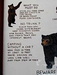
Bears are a big deal in these neck of the woods. Please store all your food properly to avoid a un-welcomed visitor
A Sequoia Grove is nearby with plenty of creeks & meadows.
Trailers not recommended due to the long curvy road leading up the mountain.
Balch Park & Campground NOT TO BE CONFUSED with utility company residences of BALCH CAMP between Pine Flat & Blackrock Reservoirs
Located right on the middle north fork of the Tule River
Inside an unknown area called Mountain Home State Forest, this small campground has a few spots that fill up quickly on weekends and at anytime during in the summer months. Campground closes seasonally, for winter snow.
Usually open: MAY-OCT
HIDDEN FALLS CAMPGROUND
• Elevation: 6,150′
• Number of Sites: 8 walk-in camp sites
• Reservations: No
• Sites Available: First come, First serve
• Vehicle Accessibility: 20′ max.
• Length of Stay: 14 Days
• Water: River nearby
• Toilet: Vault
• Bear Boxes: Yes
• Season: Closed for winter
• Fee: Yes
• Operated By: National Forest Service
• Closest Town: Springville, California
tent camping on river
Motorhome RV campers beware; no hook-ups, no paved roads. This is a primitive style camp, way back on a dirt road – not suitable for large vehicles.
NOTE $ This used to be one of our favorite FREE spots, but they recently started charging an overnight fee for this campground.
Views from Camp
bike
camp
fish
hike
picnic
stargaze
Golden Trout Wilderness trailheads nearby. Plenty of hiking opportunities, great scenery and several Sequoia groves to visit.Mountain biking is allowed on the dirt roads. Single track trails may be overgrown or even off-limits, due to the fragile eco-system around Sequoia trees.
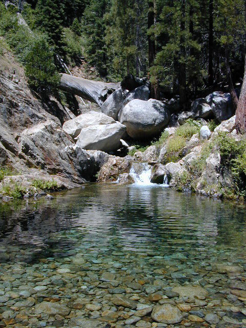
You may actually love this little camp so much, you won’t want to go anywhere else. How ’bout just chillin out: relaxing near the water. Shady swimming holes. Fishing in the Tule River.
Pack a picnic: Back road exploration is a great day trip, for there are many dirt roads weaving in and around this park, near the Giant Sequoia.
Tule River, North Fork
Hidden Falls is accessible via a long, narrow, paved mountain road; then a dirt road, leading 3 miles back to two very secluded campgrounds: this one & neighboring Moses Gulch Campground.
western south sierra
North of Springville on Highway 190, turn left (north) on to J37, some call it Balch Park Road (Google Maps has it as Wagner Drive) and follow it up 3.5 miles to Bear Creek Road (#220). Drive 17.5 miles on curvy Bear Creek Road, turn right and follow signs to campground.
Merced Lake is one remote destination along the High Sierra Camp Loop, Yosemite Wilderness.
Tent Cabins & Yurt Rentals
around California
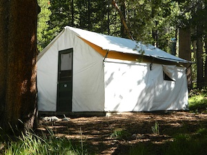
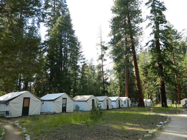
Tent cabins are made up of wooden floors, canvas walls & a canvas roof – a combination between a tent & a rustic cabin. Most have sleeping cots for beds; some have heaters, wood burning stoves or electrical outlets. A shared community bathroom is often close by.
Yurts are round versions of this same concept, with a wooden floor, real beds and usually nicer decor. Often these places request that you bring your own bed linens and towels, but each resort is different, so check the web links for detailed info.
Hike-in locations in the wilderness, rural river resorts or an easy drive to campground right off the freeway. These popular lodging accommodation are often marketed as GLAMPING, as in Glamour Camping – for the (luxury loving) princess who likes to try out nature – in a very controlled setting. Just watch out for mountain lions and bears.
Below are unique places in California that offer tent cabins, tree houses and yurt rentals.
Yosemite Lakes Resort
Cabins & Yurt Rentals
South Fork of the Tuolumne River
31191 Hardin Flat Rd
Groveland, CA
209-962-0121
800-533-1001 Western Sierra Nevada
Yosemite Pines RV Park
20450 Old Highway 120
Groveland, CA
209-962-7690 Western Sierra Nevada
HSC: HIGH SIERRA CAMP
Yosemite National Park Tent Cabins:
(advanced reservations required)
White Wolf Lodge
Backcountry wilderness area along Highway 120, Yosemite NP
ALLERGY NOTE: Most tent cabins are constructed out of heavy canvas material (fabric), which can mold when exposed to moisture (rain, fog, snow). Often they get dismantled, cleaned and stored properly over each winter season, sometimes not; All depends on weather, terrain difficulty and individual resort practices. If you suffer w/ allergies, moldy tent walls and dust mites can trigger asthma or other allergic reactions. If in doubt speak to the innkeeper or caretaker ahead of time.
San Simeon SP. Central Coast of California
Rent a Treehouse
Post Ranch Inn
Tree-House Rentals in California
Big Sur, CA Big Sur Coastline
• Elevation: 3,800′
• Number of Sites: 8
• Vehicle Accessibility: RV 24′ max (trailers not advised)
• Toilet: Vault
• Piped Water: No
• Campsites Reservation: No
• Length of Stay: 14 Days
• Season: May – October
• Trailheads: McCloud River Trail
• Operated By: NFS
• Closest Town: McCloud, CA
From McCloud @ Highway 89: Drive 13+ miles (east), past CalTrans warehouse.
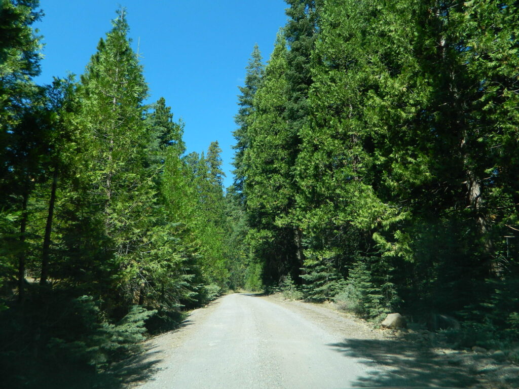
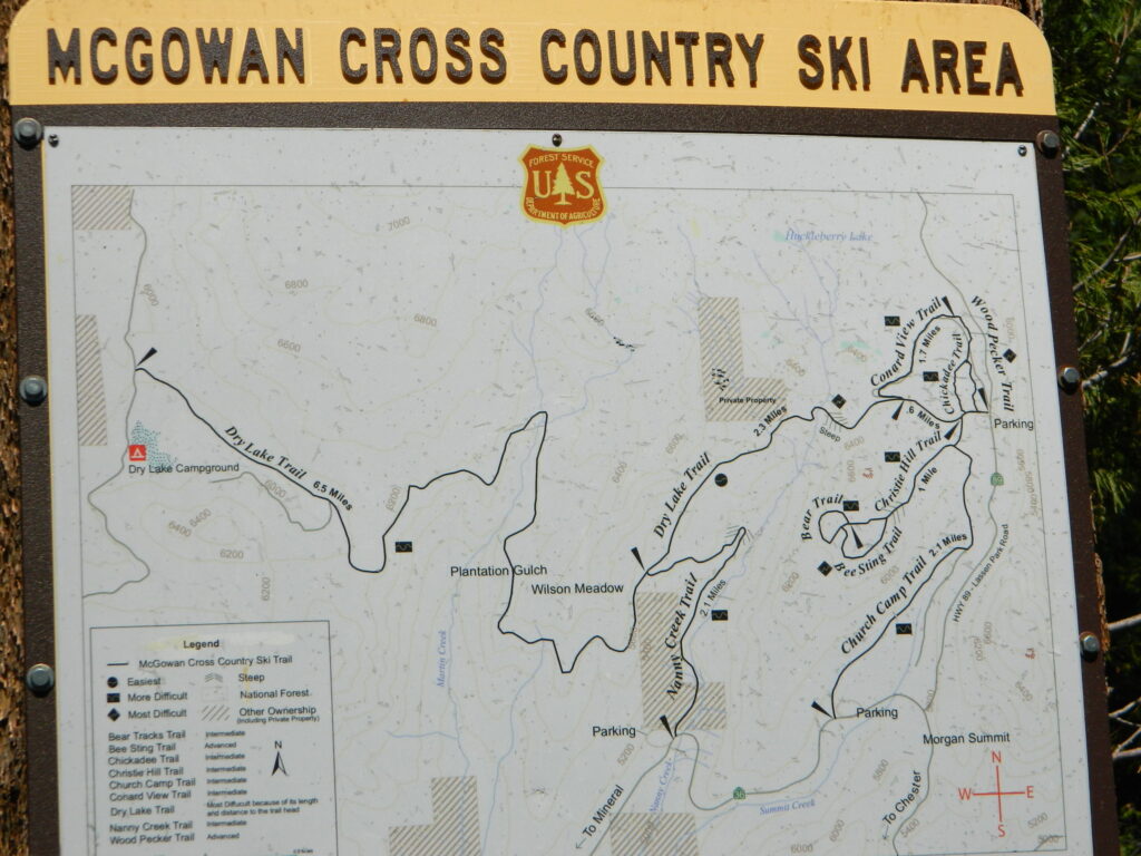
The turnoff for Algoma (Stouts Meadow) is NOT SIGNED. Rangers recommend turning at the cross country skier sign, but that sign is so small and faded, you can barely even see it. The paved road intersection is the only one around, so it is hard to miss (if driving under 50 mph). Turn right off the highway, and drive 1 mile to the campground at bridge.
Only two campsites on north side of bridge, and the rest are on the other side of the river. Algoma Bridge may be closed in 2020, so you can park and walk across to reach the campsites. Call ahead to find out current conditions.
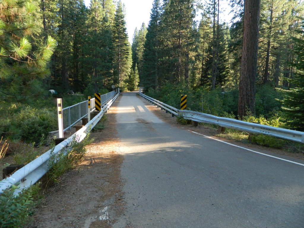
Plumas Road #24N29, off Bucks Lake Road
East of Bucks Lake, California.
a six mile, one lane, dirt road is the only vehicle access into this high elevation, dammed reservoir, tucked back against the wilderness. Secluded lake campsites await, you’ll just need to get a little dusty first. The turn off, at a small brown sign reading “Silver Lake”, one which is very easy to miss – due to the amount of homes, cabins, fencing and driveways in the vicinity.
No swimming allowed at this Silver Lake, as it serves as a drinking water source for the neighborhoods below. Canoe & kayaking are allowed. Fishing is also popular at this location. Hiking trailheads at Silver Lake lead to the PCT (Pacific Crest Trail), Mount Pleasant, Spanish Peak and a small gem of a swimming hole, we call mini Gold Lake.
This small campground is actually set downhill from the rock earthen dam, which is something to ponder before/during a big earthquake. With sites 1-5 in a shady forest area and the others a bit closer to the lake, no campsite is too close to another. These are all well-spaced-out sites, providing decent privacy and minimal noise from neighboring campers. No campsites are located at the lake edge, as the rocky dam is a long structure and quite complex with water control measures.
All the campsites have new bear boxes for food storage, cuz ‘wilderness’ usually means black bears are roaming about. Deer tend to frequent campsites 1 & 2.
2020 update: overnight camping fees now charged at this campground
Silver Lake Campground NFS
• Elevation: 5800′
• Number of Sites: 9
• Vehicle Accessibility: RV 22′
• Campsite Reservations: No
• Camp Fee: Yes
• Toilet: Vault
• Water: No piped/potable
• Length of Stay: 14 Days
• Season: May – October
• Trailheads: PCT, Gold Lake, Rock Lake, Granite Gap, Bucks Lake Wilderness
As with most of the high elevation lakes in California, winter months can mean deep snow and dirt road closures. This campground is usually open through the end of October, but call head to the local rangers if in doubt.
Plumas National Forest
Mt. Hough Ranger District
39696 State Highway 70
Quincy, CA 95971
530-283-0555
Seldom used, but often loved. This old camp used to be a California Conservation Corps (CCC) camp, during the construction of Lake Davis in 1966. Situated next to a big meadow w/ ancient lava flows up hill, the small campground hugs a wooded hillside above the freshly paved Beckwourth-Genesse Road #111
If choosing to enter camp from the lake side, take Crocker Mountain Rd. / Plumas Forest Rd #24N06, up from Grizzly Road #112.
The Lake Davis area is a north turn off Hwy 89, in between Beckwourth and Portola, CA
Access from the paved (east) side is via Beckwourth-Genesse Road #111. Adventurous camper trucks, or small RVs may attempt this dirt hillside campground, but roots and rocks and erosion are abundant in the upper portion of the camp, so be warned.
Off Roaders (dirt bikes, quads, 4x4s) like this rustic camp spot, cuz it’s not too far off the pavement – and they can drive their comfy campers w/ trailers en tow, and the big BBQ grill and easy-up shade.
Note: you cannot see Lake Davis from this side of the hill.
Autumn is nice here w/ aspen groves at nearby Crocker Guard Station. There are no aspen trees in the campground – only pines. This primitive campground is located on a forested, volcanic hillside facing east; Dirt road entry, vault toilet w/ minimal facilities. No paved campsite loop here!
Numerous unmarked foot trails lead out to the meadows edge, up lava ridges or into the forest behind the aspens. Crocker Guard Station is a very short walk; and available for rent from the NFS w/ reservation.
Crocker Campground NFS
• Elevation: 5600′
• Number of Sites: 10
• Vehicle Accessibility: Small RV
• Campsites Reservation: No
• Camp Fee: Yes
• Length of Stay: 14 Days
• Season: May – November
• Trailheads: Crocker Meadow Loop
Crocker Guard Station
aka Crocker CCC Camp
Set back nicely off the main road, this stylish, historic, two story cabin – with wood siding and front porch – has meadows and aspen groves surrounding it. Paved road access from Beckwourth Genesee Road
CCC = the Civilian Conservation Corps is often mentioned when reading about this specific location.
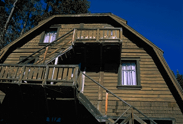
Crocker Guard Station was built in 1912 as a home for Forest Service personnel, and was later staffed as a fire station until the 1980s. Now the building serves as a USFS Cabin Rental; which could also make a nice (small) wedding location. Very scenic location w/ aspen groves.
Crocker Mountain (7444′ elev) is popular for deer hunting, mountain biking, as well as off-road travel. Trails can be dusty and steep in summer, then snowy, slippery and muddy in wetter months. This Plumas mountain region does get some snow, so check the weather forecast.
Lake Davis is about 5 miles away from this small campground, to the west. From Crocker Camp to Lake Davis (the most direct way) is a one lane, graded dirt road – Plumas Forest Rd #24N06
The paved driving to the lake will be triple the distance – and you’ll need to go back to the highway.