

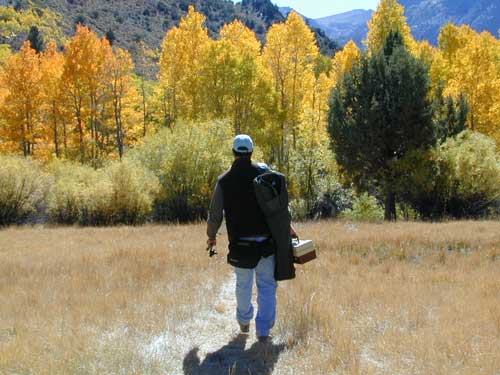
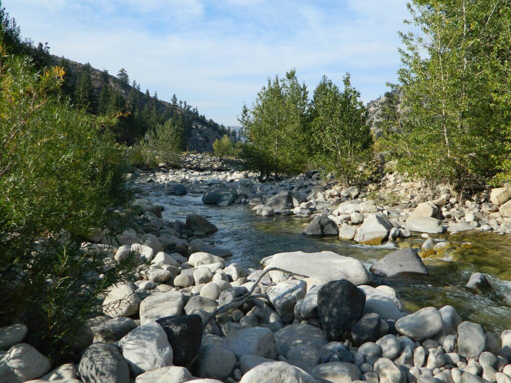
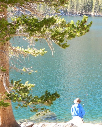
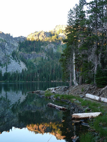
Aspen Groves are easy to recognize with their thick stands. White trunks with dark knots, slender, with oval shaped leaves. Growing in a network of roots, which are found lining creeks, alpine lakes, or spilling out from higher elevations, along scenic canyons.
The unique round leaves which can turn spectacular colors in the fall season. The fluttering and flapping of the oval-shaped, thick, green leaf is a sure sign of summer. When breezes get cooler, Autumn is only a few weeks away and as quick as the cold comes in, what a short and special show they put on.

California Fall Colors
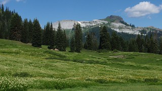
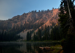
Aspen trees can be found at higher mountain elevations in California, usually above 4000′ – all the way up to about 10,000′ or higher, depending on the mountain range and local water flows. Groves have an extensive root systems underground, so they often withstand wildfires and can come back after the rest of the forest is gone.
Beavers build dams in creeks around aspen trees, fishermen and campers love to camp next to aspens, and lovers carve their initials into their white bark. These trees do indeed take a beating, from all angles, winter weather included… so stop from cutting them!

![]()
![]()
![]()
![]()
![]()
![]()
![]()
![]()
![]()
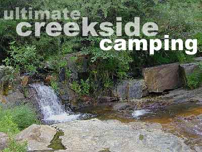
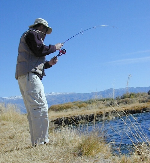
- BIKE
- CAMP
- FISH
- HIKE
- KAYAK
- PICNIC
summer and autumn
These deciduous trees are naked half the year, typically from November to April, as winter buries them in snow and ice. Time is of the essence, limited to Summer and Autumn – to enjoy their shade and the beauty of the groves. Scenic meadows and fishing creeks are just an added bonus for searching out the aspen.
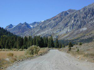
Aspens can be found in hidden canyons, primarily along the Eastern Sierra US Hwy 395 and surrounding mountain lakes. Some Sierra Passes have decent displays of color as well – like Carson Pass Hwy 88 and Yosemite’s Tioga Pass Hwy 120.
Below is a list of Total Escape’s favorite aspen areas of California
ASPENDELL
BAKER CREEK (4×4)
BIG PINE CANYON – NORTH FORK TRAIL
BISHOP CREEK
BLUE LAKES, CARSON PASS
BLUE LAKE, MODOC
CONVICT LAKE, US 395
COTTONWOOD CREEK @ ANCIENT BRISTLECONES
COYOTE FLAT (4×4)
CROCKER @ LAKE DAVIS
CROWLEY LAKE, US 395
EAGLE LAKE @
ASPEN GROVE CAMPGROUND
GREEN CREEK ROAD, US 395
HASKINS VALLEY @ BUCKS LAKE
HILTON CREEK, US 395
HOPE VALLEY
JUNE LAKE LOOP
LAKE SABRINA
LAKE TAHOE
LAUREL LAKES ROAD, US 395
LEE VINING CANYON
LUNDY LAKE, US 395
MAMMOTH LAKES, US 395
MCCLOUD CREEK @ ALGOMA
MCGEE CREEK, US 395
MILL CREEK to MINERAL, CA
HWY 172 LOOP 
MODOC NF @ BLUE LAKE
NORTH LAKE, ASPENDELL @ BISHOP
ONION VALLEY @ INDEPENDENCE
PARKER LAKE RD @ JUNE LAKE LOOP
PINE CREEK ROAD, BISHOP
PLUMAS-EUREKA STATE PARK
@ UPPER JAMISON CREEK CAMPGROUND

QUAKING ASPEN CAMP, GIANT SEQUOIA
RED’S MEADOW, MAMMOTH
ROCK CREEK ROAD @ US HWY 395
ROSS CAMPGROUND, PLUMAS NF
SPALDING, CA @ EAGLE LAKE
TOM’S PLACE, US 395
TWIN LAKES @ BRIDGEPORT
VIRGINIA LAKES, US 395


Autumn Camping in California


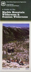
 Salmon & Scott Rivers Ranger District


 The north coast of California is dubbed the Redwood Empire, and driving north on US Hwy 101 passing the well-known wine country and communities near Clear Lake, means you’ve entered the official redwood region of Cali.

