Category Archives: mine

California Mines

Gold Rush Country, Silver Mine, Copper, Tungsten Mines

California Mine Tours, Mining Towns, Historic Mining Camps, Regional Mining Districts
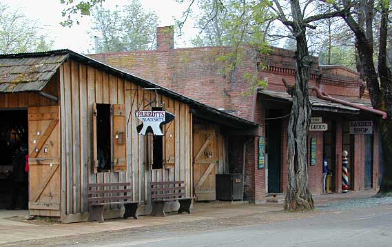
Columbia State Park
Columbia State Park

DESERT MINES & RAILWAYS

Moab, UTAH
Uraniam Mines & Recreation

desert mines cemetery
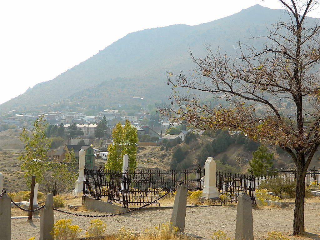
Cemetery @ Virginia City, NV

califrepublic

Historic State Parks related to Mining

Columbia State Historic Park
209-588-9128
Jackson, CA

(Sutter Gold Mine)

In 1945 California made this large mining camp a State Park in order to preserve the typical Gold Rush town, an example of one of the most colorful eras in American history. Today visitors can take a step back in time to experience life in Gold Rush era of the 1850’s and 60’s in California.

Gold Country California
Gold Rush Towns HIGHWAY 49

Empire Mine State Historic Park
530-273-8522
Grass Valley, CA

Empire Mine State Historic Park is a state-protected mine and park in the Sierra Nevada mountains in Grass Valley, California, U.S. The Empire Mine is on the National Register of Historic Places, a federal Historic District, and a California Historical Landmark

Malakoff Diggins State Historic Park
530-265-2740
North Bloomfield, CA

Out of all the mining techniques, hydraulic mining is the most destructive to the land. Canons spray the hillsides with water, forcably washing the soil away to expose rock and gold deposits underneath. The abundant runoff produced clogged stream beds, dead vegetation and debris flows into the major rivers. Orchard towns in the valley were inundated with rocks and floods which destroyed homes, crops and businesses. Levees were built around the farming communities, but the protection was no match for the amount of mine tailings washing down river. Eventually legislation was passed to ban the hydro-blasting mining practice and these were the first environmental laws on the books in California.

Plumas Eureka State Park
530-836-2380
Johnsville, CA
load pix of property

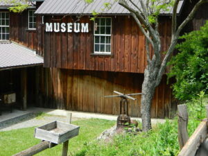
Originally constructed as the miner’s bunkhouse, the museum now serves as a visitor center. Inside, displays depict the natural and cultural history of the park. Outside and across the street from the museum is the historic mining area, where the Mohawk Stamp Mill, Bushman five-stamp mill, stable, mine office, historic miner’s residence and the blacksmith shop depict life in gold rush-era California.

Marshall Gold Discovery State Historic Park
530-622-3470
Coloma, CA

The oak lined foothills of the (American South Fork) river valley and Coloma proper is dedicated to preservation, parks, tourism, camping and lodging. The highway runs over a mile of State Park fronted land. Picnic tables, parks, historic buildings, mine history, museums, campgrounds, and river rafting.

Knight Foundry
209-560-6160
Sutter Creek, CA

Knight Foundry is America’s last water-powered foundry and machine shop and a premier relic of Mother Lode gold mining.
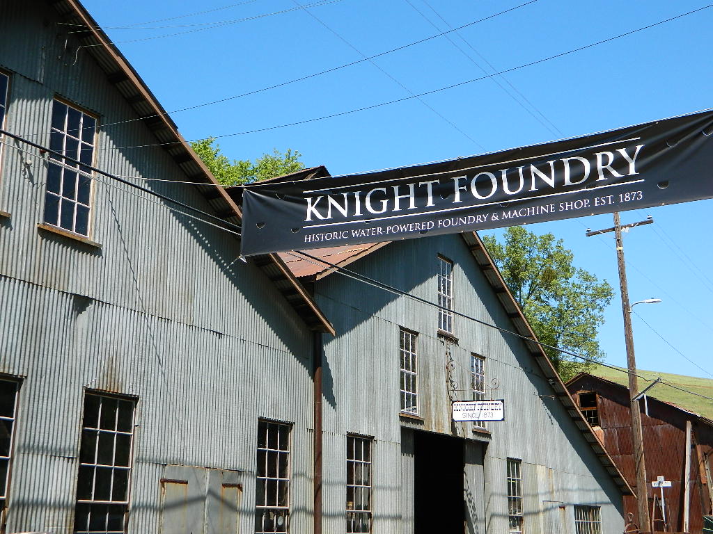

Knights Foundry
Mining History @ Sutter Creek, CA


bycounty

SIERRA NEVADA MINES

Alpha Omega Mines (Omega Diggins)
Washington, CA

Donner Mine Camp
Bear River, west of Donner Pass I-80

Kongsberg, CA
Highway 4, east of Ebbetts Pass

Pine Creek Tungsten Mine
northwest of Bishop, CA US 395

pinetree

GOLD RUSH COUNTRY TOWNS
& MINING CAMPS
Sierra Nevada Foothills

Gold Country California
Gold Rush Towns HIGHWAY 49

(towns listed from north to south below)

Forbestown Yuba Feather Museum
530-675-1025
19096 New York Flat Road
Forbestown, CA 95941
(open only in summer)
Yuba Feather Historical Associates

Jackson, CA

Kennedy Gold Mine Tours
209-223-9542
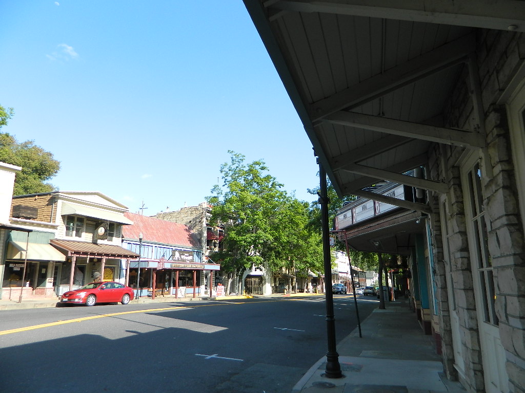
Angels Camp @ HWY 49Angels Camp (Angels City, CA)

NORTHERN CALIFORNIA MINING

Mining activity in the North State of California is way less than the Central Gold Country regions. While mining tourism and western themed downtowns cannot be found up here, historic hotels, cattle ranching, wide open views and unlimited dirt roads can. New beer breweries are popping up and also, the Pacific Crest Trail (PCT) is routed nearby!
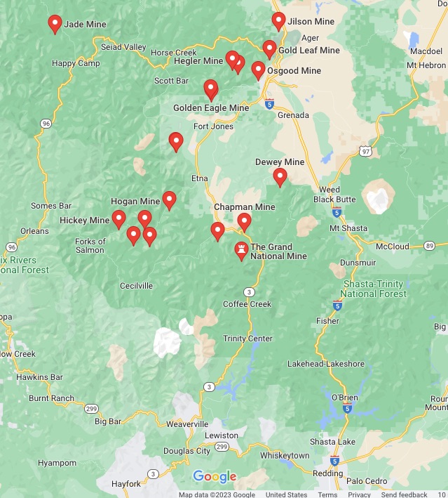
Northern California mines

pinetree

Weaverville Main Street
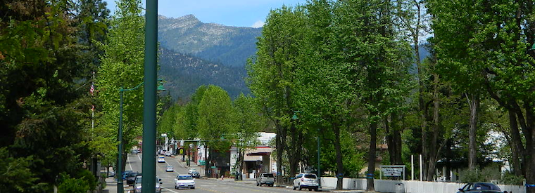
Weaverville Main Street HWY 299

Weaverville, CA
Mining Museums on Main Street

Jake Jackson Memorial Museum
530-623-5211

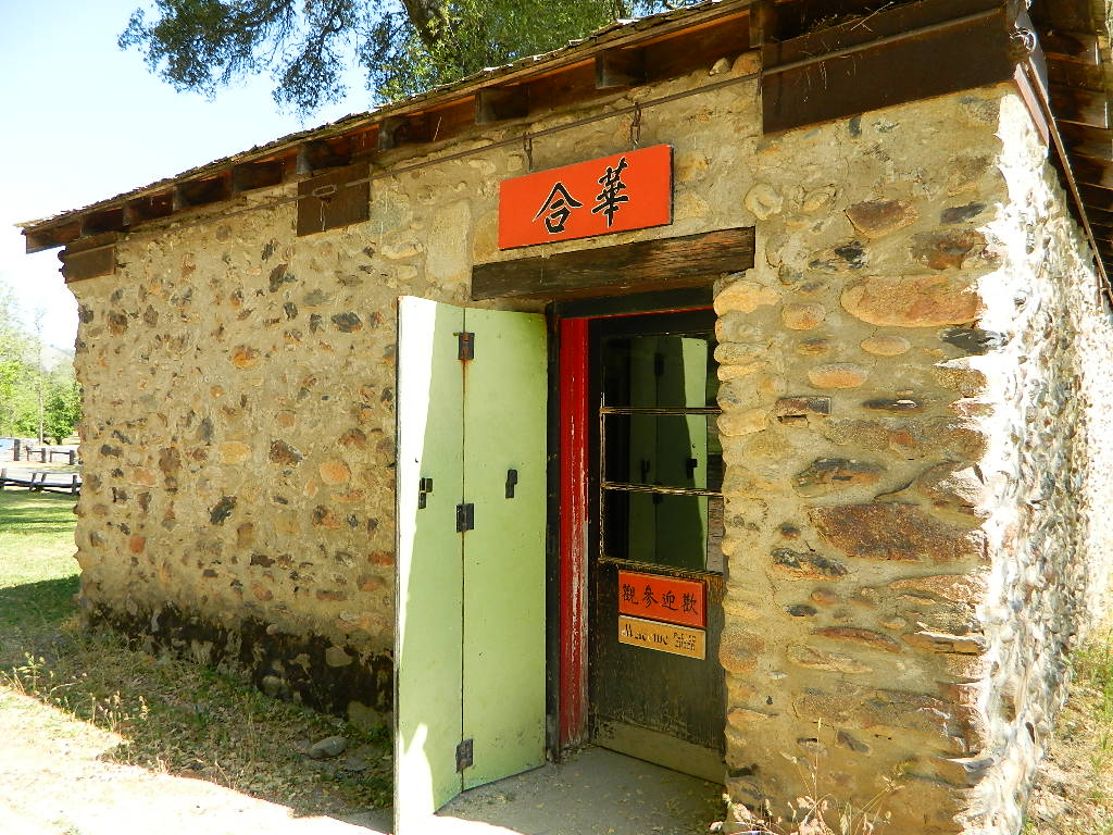
Joss House State Historic Park
530-623-5284

Weaverville Firefighter Museum
530-623-6156

Weaverville History

Museum Trinity County

Weaverville Museums

hiker

SOUTHERN CALIFORNIA MINING

Blue Light Mine
Silverado Canyon, Orange County

Carrizo Gorge Goat Trestle
Tunnels & Railway
Anza Borrego Desert

Dawn Mine @ Millard Falls
Altadena, CA

Eagle Mine
west of Mount Baldy
Angeles National Forest

Julian Mine Tours
Eagle & High Peak Mine
Julian, CA
951-313-0166
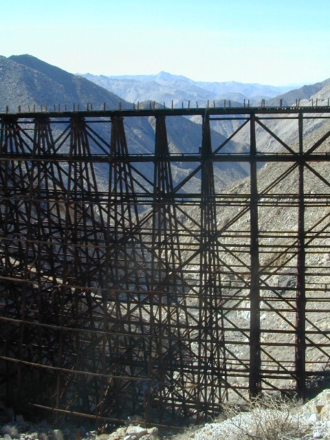
Carrizo Gorge Railway
Hiking Destination: Carrizo Gorge Trestle
Virginia City, NV
Virginia City, Nevada
Coloma State Park
Coloma State Park

Montgomery City

Montgomery Creek Canyon
Montgomery Mining Camp:
Mountain Queen Mine

Montgomery City, California


WHITE PEAK DISTRICT
As with many historic names inside California, this remote location cannot be classified as a ‘city’ in todays terms.  It may have been a notable location back in the early days of early settlement, but it did not last long. Notable producers of this region were the Phoenix Mine and Mountain Queen Mine.

 Desert

terrain: desert mountain peaks

elevation: 6450′

description:miner
Old mining camp near the Nevada state border

location:
Eastern California, on Nevada border
Mono County
NE of Bishop, & 40 mi. SE of Bodie, CA

East of US 395, up Highway 6 @ Benton, turn right / South towards the Benton dump w/ dirt road Inyo Forest Road #1S77 leading up Montgomery Canyon. 4×4 will be needed to drive the dirt access road. Hiking may be required to reach mining ruins.

hiker

Boundary Peak Hike
Boundary Peak Trailhead

area activities:

Inyo Mountains Map

When Mono County was still in its infancy, the town of Benton became a destination of miners seeking new strikes, and by 1865 was the county’s largest town.

Miners found ore where perpendicular cliffs of Montgomery Canyon opened onto the alluvial fan. Montgomery City and its mines didn’t thrive for very long and like most operations typical of this era, eventually became an abandoned site.

Circa 1863 and 1864, “some very rich rock was found in Montgomery Canyon, and a tremendous rush and excitement was the consequence. A lively little town of three or four thousand inhabitants at once sprung up, locations were made and mines opened out, and large shipments of rich ore made to San Francisco and other places. I have been told that some of the ore was worth from $2 to $3 a pound; but the ledges were broken on the surface, and apparently gave out, and the excitement soon subsided.”

Montgomery Peak – 13,441′ elev
Mount Dubois – 13,559′
White Mountain Peak – 14,246′

Stone walls can be found within the mining site, located within the drainage of Montgomery Creek. A few old stone cabins hold on to the brink of existence, far up this secluded high desert canyon.

Benton on US Hwy 6 was established as Benton Station in 1880 when the narrow gauge Carson & Colorado Railroad came through the area. Montgomery City is a true ghost town, in every sense of the phrase. Those who make the rough and steep journey to reach this remote location should  be rewarded with an enjoyable day trip.

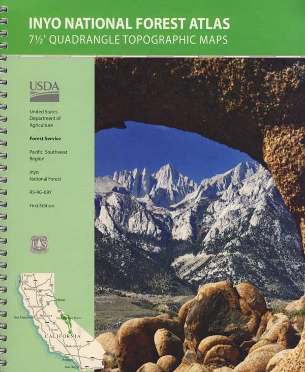
InyoAtlasBackpackers, hikers and off-roaders who plan to explore this region in depth should follow the trailhead link above for GPS points and notes on this canyon. A topographic map of the area would also help in navigation.

4x4

towns nearby:

see also –

Benton Hot Springs

Laws Railroad Museum

Ancient Bristlecone Pines Forest

Panamint City California

panahills
Photo Credit © Lttlbddy Steve Gardiner

Panamint City, a super remote mining camp on the edge of Death Valley National Park

elevation: 7300′

(Not to be confused w/ Panamint Springs, CA which is NW, along the main Highway 190 on the west side of DVNPhiker

Panamint Valley, Death Valley NP
Inyo County, NE of Ridgecrest
East of Hwy 395, south of Hwy 190

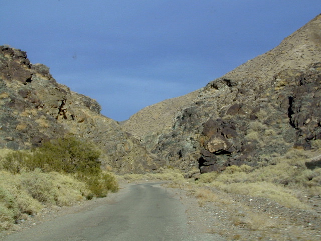
Hard to reach ghost town / abandoned mining camp on the mountainous edge of Death Valley National Park. Access via dirt road and steep trail,  off the paved Trona Wildrose Road. Panamint Valley, west of Death Valley

best time to visit: November – April
Triple digit heat is common in the warmer months, so spring, autumn and winter time is best for this region, but beware of winter storms.snow

Snow is common on  the peaks, and at higher elevations (like this place) during winter (DEC-APRIL). If you see trees on the terrain – joshua trees or pinyon pines, that indicates that snow falls here often enough. Snow is possible around Death Valley, down to 3000′ elev. during coldest of winter storms.

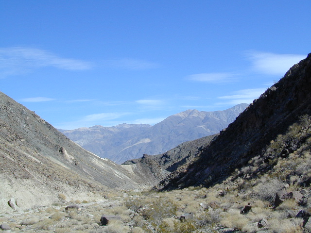
Surprise Canyon Wilderness BLM – Desert mountains, steep rocky terrain w/ peaks and very few trees. Surprise Canyon can become a waterfall, during heavy desert rains. The canyon is the  only access up to reach this hidden town4x4

NO MORE 4×4
Hike or backpack up Surprise Canyon
No longer 4WD accessible .Gotta hike it on foot now. So get that fat ass outta the rig for some elevated heart rate (real exercise).

This desert destination used to be a very popular off-road trail, where Jeeps would wench and crawl up the narrow, rocky passage; but all that changed with a wilderness designation (1994)  and no longer are machines allowed in this specific canyon area. No vehicles (engines) and no mountain bikes. No wheeled anything.

Off-roading and free-wheelin is still allowed and abundant in neighboring canyons of Nadeau Road & Panamint Valley – Pleasant Canyon, South Park Canyon, Jailhouse Canyon, Goler Wash, Isham Canyon

stack
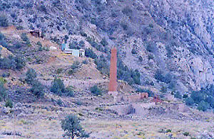
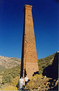
Smoke stack has collapsed in the recent past, so this structure is no longer standing. Photo Credit © Lttlbddy Steve Gardiner

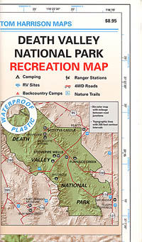
DVNP Topo Map

area activities & links:

  • lookinN
    Looking north in a neighboring canyon

    Campgrounds nearby –

    Ballarat ghost town has a camper bathroom w/ showers and a fee to go along with that. Panamint Springs has a small motel and a big restaurant, plus a large campground (across the highway) which can accommodate tents, camper trailers and RVs.

    campDeath Valley National Park boundary means developed campgrounds are a few miles away up Wildrose Canyon.


  • Primitive Camping around Panamint Valley

    Boon-docking, dispersed, FREE, open camping is allowed almost anywhere in Panamint Valley and the neighboring desert canyons. Campfire permits are required and are available at BLM office in Ridgecrest. There is no firewood, nor wood collecting around these parts, so bring your own.

    camptruck

    Nadeau Road has abundant flat spots for RVs; Well stocked 4x4s can find secluded camping further up the canyons, but must be a self-sufficient camper and bring water, plenty of ice, extra gasoline, food and firewood.

    More Mining Camps & towns nearby:check

    Ballarat, CA
    Pleasant Canyon
    Randsburg, CA
    Skidoo, DVNP
    Tucki Mine, DVNP

    wildrosedrive
    Wildrose Canyon Road, DVNP

    lodging nearby – lodge

    Locating a ‘real bed’ near this remote desert region will require some driving. The closest option in Panamint Springs, which only has a few rooms. The next closest, would be Stovepipe Wells inside the National Park.

    mike_up5
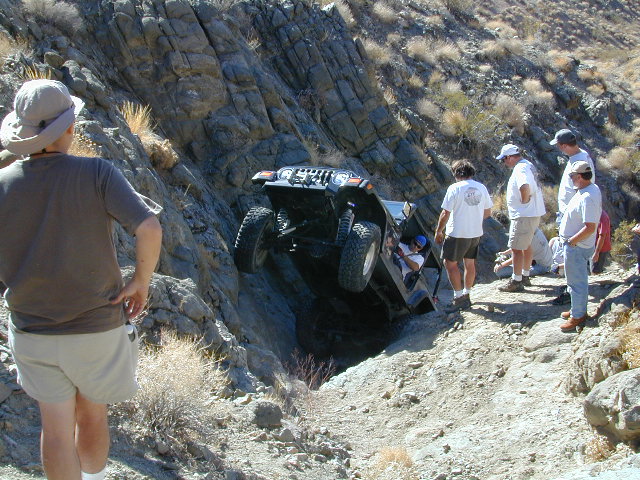
    This is the kinda wheeling craziness that goes on in other canyons nearby.
    bestnite
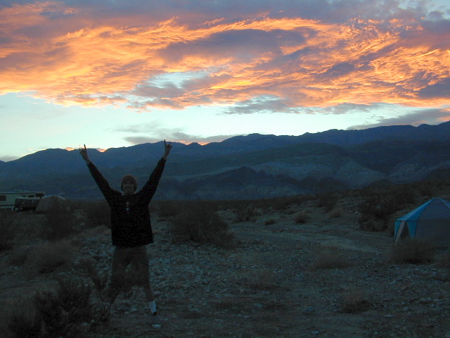
    Leon from San Diego enjoys a spontaneous vacation.

    Camping in Panamint Valley is best in cooler months.  NOTE: Triple digit heat in summer!


Oregon City California

oregoncitybrdg

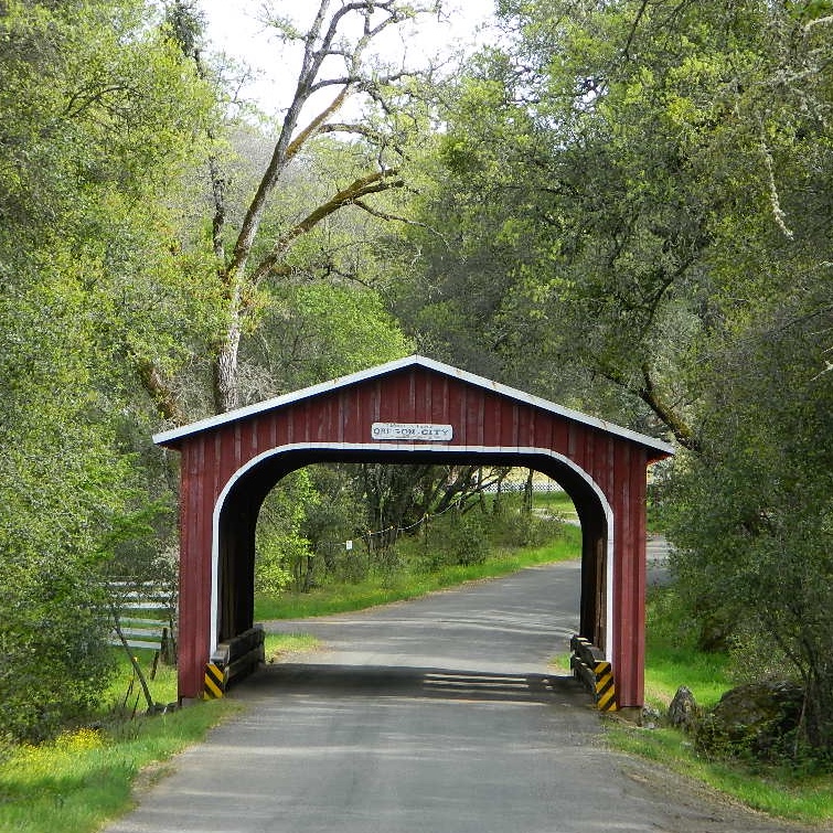
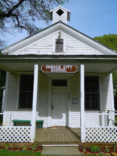
As with a lot of small town names in California, Oregon City is not a city at all. It is however, worthy of historic interest.

Oregon City is a rural locale on the back roads of Butte County, California – about 5 miles uphill from the Oroville Dam. A tiny, historic camp, located in the North Sierra foothills between Oroville and Cherokee.

One of the first mining camps in the county, it was established in the autumn of 1848 by a party of Oregonians, who came to California over the Applegate and Lassen trails.

  • Bloomingdale Mine
  • Rock River Mine
  • Buffalo Mine

oregoncityschoolhouse

Two historic sites, open to the public:

  • A little covered bridge (painted red)
  • A wooden one-room schoolhouse (now museum)

gravelroads

Gravel road access w/ paved, narrow and curvy Cherokee Road being pretty much the only way in. Or hiking up Potter’s Ravine, from Lake Oroville.

oaktree

Minimal residence, maximum oaks.

Oregon City was formerly known as Bloomingdale and Hengy.
North of Oroville, CA

woodenschoolhouse

Lake Oroville SRA

horseback

Happy Day Pony Ride

wildflower

North Table Mountain Ecological Reserve

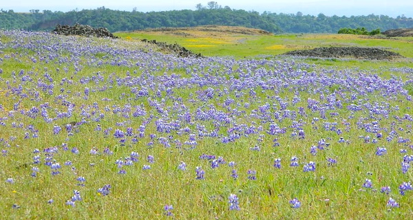
Wildflowers bloom in Spring

lupinetable

Wildflowers, Table Mountain 2014

hiker

Waterfalls of Table Mountain:

  • Hollow Falls
  • Ravine Falls
  • Phantom Falls
  • Little Phantom Falls

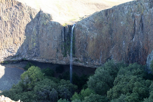
Phantom Falls, Table Mountain 2014

nearby towns –