California Water Resources
water resources / water scarcity / land and water

SNOW PACK
State Snow Depths – Wunderground
SNOTEL Snow Depth Reports
http://www.wunderground.com/StateSnowDepth.asp?state=CA
California Snow Water Equivalents
Sierra Snow Pack Data
https://cdec.water.ca.gov/snow/current/snow/
Eastern Sierra Snow Pack by Sierra Wave
Article published Feb 2014
http://www.sierrawave.net/tag/eastern-sierra-snowpack/
Eastern Sierra Avalanche Center
Snowpack summaries published Dec 2014
http://www.esavalanche.org/content/snowpack-summaries-begin-soon
Sierra Avalanche Center
Sierra Nevada Mountain Snow in California
http://www.sierraavalanchecenter.org/
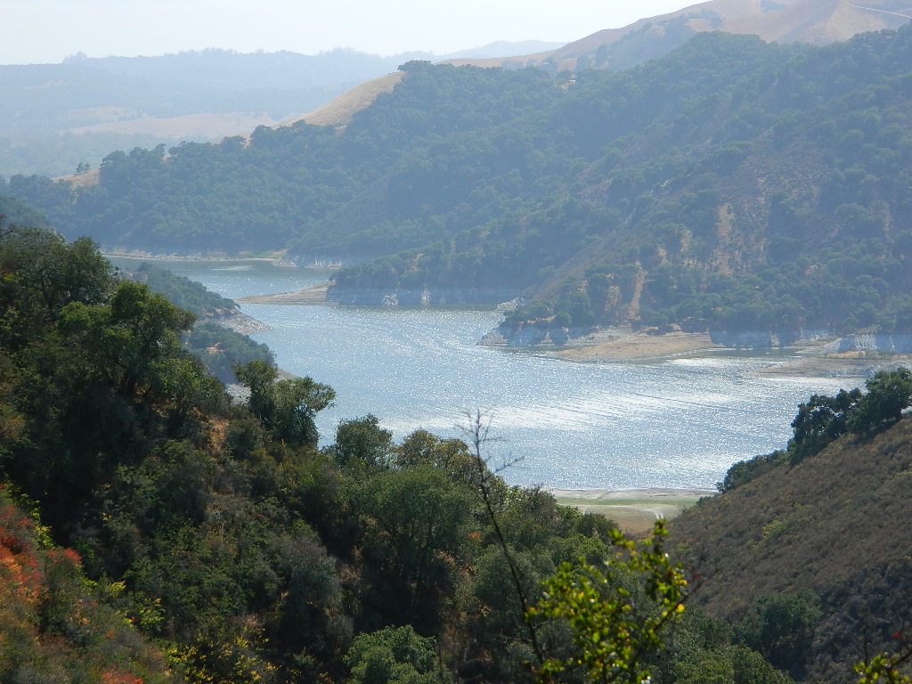
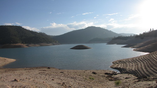
LAKES & RESERVOIRS
The Lowest Lake Levels in California
List of Reservoirs below 30% full, as reported Jan. 2015
- Cachuma Lake, Santa Barbara
- Stampede Lake, Truckee
- Lake Isabella, Kern Canyon
- Lake Success, Westside of Sequoia
- Lake Kaweah, 3 Rivers, Westside of Sequoia
- Pine Flat Lake, Kings River, Kings Canyon
- Lake Exchequer (McClure), Merced River
- New Melones Lake, Gold Country
- New Hogan Reservoir, Calaveras River
- Black Butte Lake, Stony Creek, Tehama
- Indian Valley Reservoir, Cache Creek
Conditions for Major Reservoirs in California
http://cdec.water.ca.gov/
- Trinity Lake
- Lake Shasta
- Lake Oroville
- Folsom Lake
- New Melones Lake
- Millerton Lake
- San Luis Reservoir
- Don Pedro Reservoir
- Pine Flat Lake
- Pyramid Lake
- Castaic Lake
San Diego River & Reservoir Data
Map of San Diego Hydrology, Water Storage
http://www.cnrfc.noaa.gov/
San Luis Obispo Reservoir Data
Lakes on the Central Coast of California
http://www.slocountywater.org/
- Lake Nacimiento
- Whale Rock Reservoir
- Lake Lopez
- Santa Margarita Lake
- Twitchell Reservoir
Ventura County Watershed Map
Watershed Protection District
http://www.vcwatershed.net/
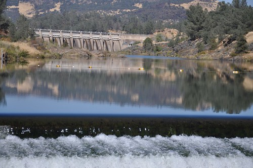
RIVER FLOWS
California River Forecast Center Map
Overview for recent rainfall data, snow depths, and ocean temperature
http://www.cnrfc.noaa.gov/google.php
California Current River Conditions
CA.gov Dept of Water Resources
http://cdec.water.ca.gov/river/rivcond.html
California River Forecast
California Nevada River Forecast Center
http://cdec.water.ca.gov/rivforecasts.html
Drought Info
http://www.cnrfc.noaa.gov/droughtInfo.php
Upper Sacramento River Forecast
Northern Sacto River
http://cdec.water.ca.gov/cgi-progs/rivfcast/USACBUL
NEWS & STATISTICS
Irrigated Lands in California – Farming Map
Dry Wells in California – DanaMite’s Map
More than 1,480 domestic well failures in 36 counties have been reported to the state of California recently.
California will need 11 trillion gallons of water to end epic drought by Mashable.com
http://mashable.com/
California Department of Water Resources
http://www.water.ca.gov/
Water in California – Wikipedia
Reservoirs, Water Sources, Aquaducts, Water Distribution
https://en.wikipedia.org/wiki/Water_in_California
Residential Per Capita Water Use across California
Water conservation measures and stats per city
http://www.californiadrought.org/
Aquafornia, the Water Education Foundation
California water news from various news sources
http://www.watereducation.org/aquafornia
Association of California Water Agencies
Largest statewide coalition of public water agencies
http://www.acwa.com/content/water-information
USGS Water Data for California
The United States Geological Survey
http://waterdata.usgs.gov/ca/nwis
EPA – Environmental Protection Agency
California Drinking Water | Local Drinking Water Information
http://water.epa.gov/drink/local/ca.cfm
California Water Impact Network, C-WIN
Advocates for equitable and environmentally sensitive use of California’s water
http://www.c-win.org/
California Drought Map
National Drought Mitigation Center
http://droughtmonitor.unl.edu/Home/StateDroughtMonitor.aspx?CA
PACIFIC OCEAN
Heal the Bay
Volunteer, Beach Cleanups, Santa Monica Pier Aquarium
http://www.healthebay.org/
The Pacific Genocide
- Fukushima Meltdown
- Acidification of Oceans
- Overfishing
- Pollution & Oil Spills
- Marine Life Watch

