Tag Archives: HIgh Sierra

National Forest Cabins

California Fire Lookouts for Rent
US Forest Service Cabins
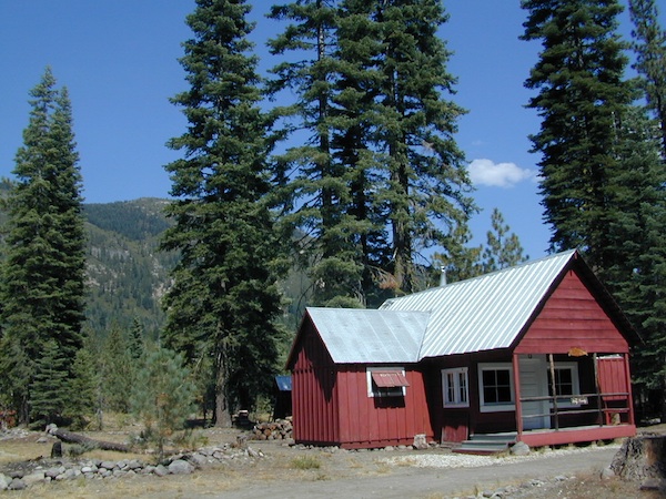
red cabin

NFSlogo
Rent a secluded cabin with an amazing view, a historic tower for wildfire spotting, or a USFS guard station – hidden deep inside USDA California National Forests. Several of these NFS lookouts have been closed recently, so the ones listed below have links to status and reservation information.

Dirt road access is common to reach these remote locations. Some require stair climbing, or steep access hikes. Winter months are usually snowy, inaccessible and sometimes dangerous for these high country locations. Access roads suffer from closures due to rock slides or landslides. Check with the locals ranger station for current conditions.

A few of these rentals are open all year long – in the southern part of the golden state.

El Dorado National Forest USFS

Harvey West Cabin
4,720′ elev. on Silverfork American River, Gold Rush

Loon Lake Chalet
6375′ elev. near Georgetown, Gold Country California

Robbs Peak Lookout
Robb’s Hut / Robbs Cabin
6686′ elev near Placerville, Gold Country California

Sly Guard Cabin
Sly Park @ Jenkinson Lake, near Placerville, Gold Country California

Van Vleck Bunkhouse
6549′ elev. near Georgetown, Gold Country California
download PDF info sheet

Lassen National Forest USFS

McCarthy Point Lookout
overlooking Mill Creek Canyon and Ishi Wilderness
ranger & info 530-258-2141

Mendocino National Forest USFS

Pine Mountain Lookout
>>>> Renovated & ReOPENS soon! April 2020
4400′ elev.  over looking Eel River wilderness
ranger & info 707-275-2361

Plumas National Forest USFS

Crocker Guard Station
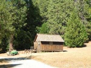
5700′ elev. near Meadow on back road
Lake Davis Loop, way out behind Portola, California
 

Big Bear Lake 2002
Big Bear Lake, Southern California

San Bernardino National Forest USFS

Coon Creek Cabin
Actually this one is a reservable group campground – next to a set of historic cabins. Big Bear Area Group Camp Site. Heart Bar Rd #1N02 near Angeles Oaks, CA

Morton Peak Fire Lookout
(no longer available overnight stays 2019)
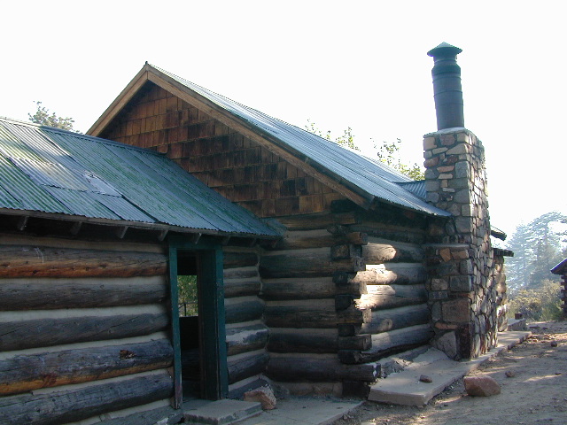
Coon Cabin
Coon Cabin – Southern Cal

Sequoia National Forest USFS

Big Meadows Cabin
Big Meadows Guard Station
off Big Meadows Rd #14S11
7600′ elevation; located in between Sequoia NP & Kings Canyon NP

Camp 4 ½ Cabin
1100′ elevation; Lower Kings River
near Pine Flat Lake, CA

Grouse Valley Cabins
3 cabins near lakes; Giant Sequoia National Monument, Western Divide
4800′ elev.

Mountain Home Guard Station
Mountain Home State Forest, Sequoia Groves
6000′ elev. near Springville, CA

Needles Fire Lookout
(destroyed in structure fire 2011)
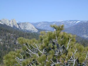
the needles
View of The Needles, from Dome Rock on Western Divide Highway (CLICK TO ENLARGE)

Oak Flat Lookout
Oak Flat Cabin Rental
4900′ elevation; Kern River canyon near Lake Isabella

Poso Guard Station Cabin Rental
open all year round4500′ elev. near Kernville, CA

Quaking Aspen Cabin Rental
Giant Sequoia National Monument, Western Divide Highway near Ponderosa, CA

Wishon Cabin Rental
Tule River, Giant Sequoia National Monument; open all year round. 4000′ elev. near Camp Nelson, CA

Shasta/Trinity National Forests USFS

Forest Glen Guard Station
near Trinity River & Forest Glen, CA

Frog Meadow Guard Station
7760′ elev. near Lake Isabella, CA

Girard Ridge Lookout
Historic Fire Lookout Tower
4809′ elev. near Dunsmuir, CA

Hirz Mountain Lookout Tower
Hirz Mtn. Fire Watch Tower Rental
overlooking Shasta Lake, CA
(currently closed for repairs 2019)

Harris Springs Guard Station
near McCloud, CA

Little Mount Hoffman Lookout
Mt. Hoffman Rental
7000′ elev. near McCloud, CA

Post Creek Guard Station
near Hayfork & Platina, CA


Sierra National Forest USFS

Camp Four and a half Cabin
Camp 4 ½ Cabin Rental
Lower Kings River, open all year round
1100′ elev. near Pine Flat Reservoir


Six Rivers National Forest USFS

Bear Basin Butte Cabin & Fire Lookout
elevation 5300′ in Six Rivers NF / Smith River NRA
(road damage & access issues 2017)

Tahoe National Forest USFS

Calpine Lookout Cabin Rental
near Sierraville, CA

Sardine Peak Fire Lookout
overlooking the Sierra Buttes and serene Lakes Basin, Yuba Rivers, North Gold Country CA

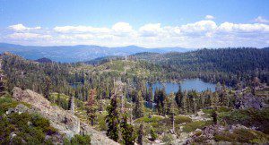
lakes basin views


Eastern Sierra Lakes

Camping Lakes – Campground Lakes
Lake Eastern Sierra California

There is not enough room on this web site to list every single alpine lake in the majestic Eastern Sierra range, since there are hundreds, but we highlight a few of the hike-in accessible ones & the more popular camping lakes below.

DSCN0100

June Lake Loop is a paved, scenic drive highway that has multiple lakes with cabin rentals, camping, fishing, boat rentals. One of the best places to spend autumn looking for fall colors among the aspens.

DanaMite also knows a picture is worth 1000 words, so just click links for photos & enjoy!!!

convict lake Eastern SierraLone Pine Lakes include –

  • Diaz Lake (on US Hwy 395)
  • Cottonwood Lakes camping (hike in)
  • Lone Pine Lake (hike in)

Onion Valley camping
@ Independence, CA
Kearsarge Lakes include –

(all are hike-in lakes)


mountains

Bishop Lakes include – (Hwy 168)

ROCK CREEK CANYON
US 395

Paved road dead ends at over 9000′ elevation
Wilderness Access w/ Trailheads & Parking
NFS Campgrounds
Remote Cabin Resorts

hiker

LAKE CROWLEY CA

CONVICT LAKE CA

Mammoth Lakes include – (Hwy 203)

Walker Lake @ June Lake Loop
Walker Lake @ June Lake CA

June Lake Loop includes – (Hwy 158)

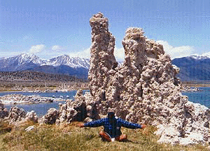
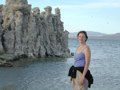
MONO LAKE CA

US 395 @ LEE VINING, CA
Yosemite NP [EAST ENTRANCE]
Tioga Pass Lakes include –
(Hwy 120)

califrepublic

LUNDY LAKE CA

Bridgeport, CA

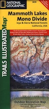
NatGeo Mammoth MapEastern Sierra topographic trail maps to lakes

Mono Maloy

Mammoth Fishing


Stark Weather Lake

Originally uploaded by danamight

Mammoth Mountain Lakes / Eastern Sierra Fishing

Sure splendor for fishing, most of the time. Lake fishing, stream fishing, river fishing. Fishing the Eastern Sierra area, near Mammoth Lakes, California can be very rewarding. You may have read about places like these in the sports magazines, seen them on a television program, or imagined them in a fishing vacation day dream. Summers can be crowded, so pick a lake and camp carefully. Weather can change quickly, so come prepared. Autumn fishing w/ the golden aspens and less crowds is preferred.

fishing trip

Most of these Eastern Sierra lakes listed below are accessible by car, others by foot. Look at the photos, pick a destination and get a good map of the area, so you can explore everything around too.

Mammoth Lakes Area

Mammoth Area Lakes – Mammoth City

Mammoth Area Creeks –

Mammoth Area Rivers –

  • Owens River (high desert valley)
  • San Joaquin River (high country)

junelake

June Lake Loop
Eastern Sierra, US 395 @ Hwy 158

June Area Lakes –

June Loop Creeks –

Mammoth Maps

inyo maps
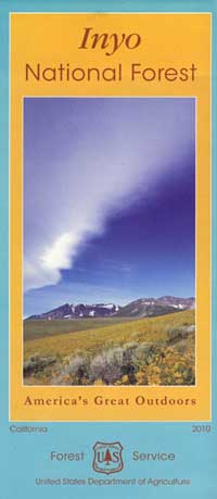
Inyo National Forest Map

Ansel Adams Wilderness Maps
Devils Postpile Map
Mammoth High Country Map
Mono Divide Trail Map
Mammoth Mono Map NatGeo

other Eastern Sierra maps –

Bishop Pass Trail Maps
Hoover Wilderness Trail Map
John Muir Wilderness Maps
Mono Lake Map
Palisades Trail Maps

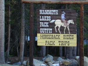
horseback overnight trips
Abundant Horse Packers in Eastern Sierra, California

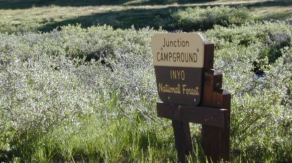
Junction Campground Yosemite

Junction Campground, Yosemite East Side

Inyo National Forest @ Tioga Pass, Hwy 120
Yosemite High Elevation Camp

jctcampgr

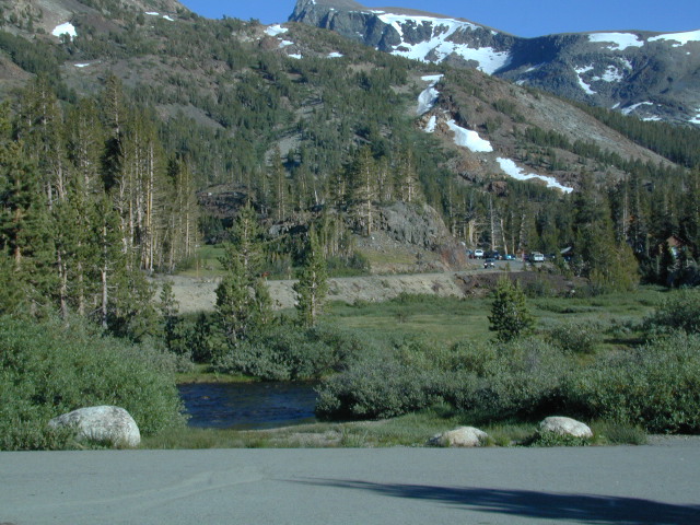
Tioga Pass camping on the eastern side of Yosemite National Park, just outside park boundaries is Inyo National Forest lands. Snow is generally deep and the road doesn’t open until late spring or early summer.

Inyo Junction Campground –  located at the intersection of Tioga Pass Hwy 120 and Saddlebag Lake Road.

Several prime campgrounds line the busy Tioga Pass, highway 120. Most NFS campgrounds are small and located along the busy highway just outside the National Park gate. This one is set back (slightly) from the main road and accessible by RVs. It is also located next to the historic Tioga Pass Resort, walking distance and on the same side of the highway.

junctionsign

High altitude small lakes, great views, thin air, snow melt, spectacular elevations and dark skies makes this an awesome stargazing spot. Summer is busy with travelers, tent campers and day hikers.  First come, First serve, when it is open (only half the year).

Junction Campground

• Elevation: 9,600′
• Number of Sites: 13
• Camping Reservations: No
• Sites Available: First come, First serve
• Vehicle Accessibility: Vehicle limit 28 ft.
• Length of Stay: 14 Days
• Water: No water spigots; lake nearby
• Toilet: Vault
• Season: Closed during winter & spring
• Fee: Yes
• Operated By: National Forest Service
• Closest Town: Lee Vining, CA

highway close

see also nearby – Ellery Lake Campground

hiker

Inyo National Forest
Mono Lake Ranger District

Bishop Ranger Station
760-873-2400

Mono Basin National Forest
Scenic Area Visitor Center

760-647-3044

NFSlogo

USDA campground link

6N06 – Stanislaus NF

graded road

Forest Rd #6N06 – County Line Road, Fence Creek, Stanislaus National Forest

Central Sierra Nevada Mountains, California
N of Hwy 108; W of Sonora Pass

On the very edge of wilderness
Stanislaus National Forest
County Line Road
Fence Creek Campground (NFS)

Graded dirt road near Clarks Fork junction @ SR 108. Dirt road travels up into forest, hiking trails and meadows; South side of the volcanic Dardanelles @ Tuolumne Co. & Alpine Co. boundary

Carson Iceberg Map

County Line Trailhead
Wheats Meadow Trailhead
Carson Iceberg Wilderness Area
The Dardanelles (9524′ elev)

Clark Fork, Middle Stanislaus River

Topo Maps of this Region:

Stanislaus National Forest Map USDA
Carson Iceberg Wilderness Map USDA
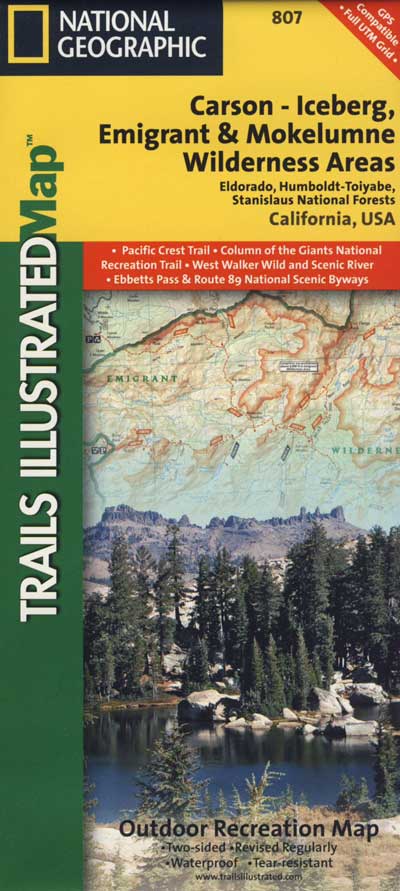
Carson, Emigrant, Mokelumne Map NatGeo
Sierra Nevada Topo Map

hiker

  • backpacker access
  • day hiking
  • horse camping
  • primitive camping
  • trailhead camping

winter road closure, annually
check with local rangers on road access and conditions.

Rd# 6N06, climbs to mountain scenery at upper elevations, well of the main highway. Route is a 2-lane wide road at times, narrower and private towards the end of roads; several dirt roads, overgrown 2 tracks w/ many camp sites to choose from. Dispersed primitive camping requires a camp fire permit.

6N06rd

OHV off-roaders will only find dead ends on dirt route 6N06. NO motorized access in nearby wilderness. Wheelers should try south of Highway 108 @ Niagra Campgrounds; Niagra Off Road #5N01 for all the noise-makers, gear heads, dirt bikes, and toy boxes. Niagra Creek, Niagra OHV, Niagra 4×4.

dirtbikes

nearest towns:

Dardanelle
Pinecrest Lake
Twain Harte

volcano mdws

Onion Valley Campground

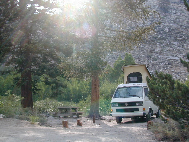
whiteVWcamper

Spectacular Small Campground located inside a granite bowl above 9000′ elevation, on the edge of the granite, near the John Muir Wilderness trails.camp

Inyo National Forest near Independence, CA
Eastern Sierra California

One of the best high elevation trailhead camp for backpackers in the Sierra.

High Sierra Lake Hikes

Onion Valley Campground

Onion Valley CA
  • Elevation: 9,200′
  • Number of Sites: 29
  • Vehicle Accessibility: no RVs
  • Camp Fee: Yes
  • Campsites Reservation: Yes
  • Toilet: Vault
  • Water: Piped
  • Length of Stay: 14 Days
  • Season: June – Sept
  • Trailhead Parking

Inyo National Forest hiker
Mount Whitney Ranger District
760-876-6200

Trailhead parking & camping for these High Sierra destinations –

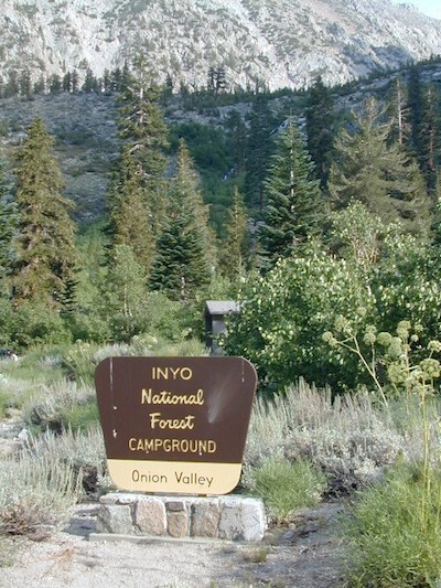
onionsign

wild mountain onions?

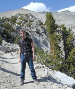
High elevation NFS campground, located in a huge granite valley w/ waterfalls, wildflowers and aspen groves. The setting is breathtaking and the high altitude valley is nothing less than grand.

The views (east to the Owens valley) are from the paved road up, or from the hiking trails leading up outta camp. Gotta hike up (on foot) to see the views! Any visitor that does not hike, will be missing out on the best features of this destination. Plan to spend more than one day at Onion Valley.

ONLY OPEN for summer months! This small, developed campground closes annually.  Big winters and deep snow is the norm w/ elevation this high.

 walk-in camp sites

tent campas well as car camping sites.

  • picnic tables
  • fire rings
  • vault toilets
  • piped water
  • bear boxes

ONION VALLEY ROAD
access via Independence, CA
The paved road is long and very winding; sheer cliffs, steep drop offs, hairpin curves, minimal guard rails. RV motorhomes are not allowed on this route, due to the steepness of the terrain and the narrow roadway. conradkid2001

  • backpacking
  • camp
  • hiking
  • horse pack trips
  • lake fishing
  • mountaineering
  • rock climbing


horsepacks hiking Mountains

Rae Lakes Loop Map
Topo Hiking Map

HIKING LAKES in the Sierra

goldentroutlakecanyon
Golden Trout Lake Canyon

Gilbert Lake @ Kearsarge

see Onion Valley photos from –
Onion Valley Autumn 2008
Onion Valley Summer 2002

Group Campgrounds Eastern Sierra

agnewmdws

Group Campgrounds in the Inyo National Forest camping

These group camping facilities are available by advanced reservation only; open for summer and usually closed during winter months .

campground elev spots veg toilet water notes
Agnew Meadow Horse Camp 8400′ 4 pines chem piped Group & Equestrian
Mammoth
Aspen Group 8100′ 4 aspen flush piped Rock Creek
Big Pine Canyon Group 7600′ 1 pines vault piped W of Big Pine; May-Oct
Bishop Park Group 7500′ 21 oaks flush piped Group Camping; May-Oct
Fossil Group Camp 7220′ 11 pines vault no Hwy 168; E of Big Pine
Juniper Group Camp 7000′ 5 juniper vault piped Hwy 168; E of Big Pine
Obsidian Flat Group 6000′ 50 pines vault no Group Camp Mammoth
Pumice Flat Group 7700′ 17 pines flush piped June-Sept; Mammoth
Rock Creek Lake Group 7600′ 1 aspen flush piped Group Camping; May-Oct

RESERVATIONS REQUIRED

Call ranger station to reserve.
Inyo National Forest
351 Pacu Lane #200
Bishop, CA 93514
760-873-2400

see developed tent & RV Campgrounds – Inyo National Forest

rockcreekcliffs

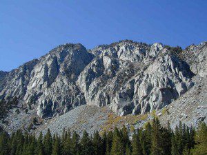
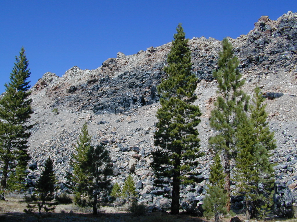
Obsidian near Hwy 395 & Mammoth
Eastern Sierra Obsidian Dome – near US Hwy 395 & Mammoth Lakes, CA

Eastern Sierra maps –

Topo maps, wilderness hiking maps, fishing maps
Equestrian trails, 4×4 routes, OHV maps –

lake mary

southforkbishop

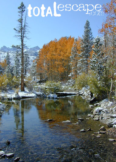
Bishop Creek near Aspendell, CA

Lake Tahoe Campground

Indian Valley Campground
Indian Valley Campground, Tahoe National Forest

Lake Tahoe Campgrounds

Cabins

Tahoe Forest Campgrounds

sierra buttes California

Lake Tahoe California

Listed below are developed camp grounds and RV camps around Lake Tahoe, run by various agencies. Most require reservations and are only open half the year (or less).

Lake Tahoe campgrounds: blue links lead to camp info.

campground elev spots veg toilet water notes
Bayview Campground 6000′ 10 pines vault Emerald Bay
Camp Richardson Tahoe 6500′ 330 pines flush piped South Lake Tahoe
Campground by the Lake 6000′ 157 pines flush piped South Lake Tahoe
D.L. Bliss State Park 6000′ 168 pines flush piped Westshore, Lake Tahoe
Eagle Point Tahoe 6100′ 100 pines flush piped California State Park
Emerald Bay State Park 6000′ 16 pines flush piped South Lake Tahoe CA
Fallen Leaf Lake Campground 6737′ 205 pines flush piped South Lake Tahoe CA
General Creek Campground 6000′ 175 pines flush piped Westshore, Lake Tahoe
Kaspian Campground 5800′ 20 pines flush piped Westshore, Homewood CA
Lake Forest Campground 6300′ 21 pines flush piped Northshore, Tahoe Vista CA
Meeks Bay Campground 6000′ 17 pines flush piped Westshore, Tahoma CA
Mount Rose Campground 8500′ 24 pines flush piped in Nevada @ Tahoe
Nevada Beach Campground 6200′ 54 pines flush piped Nevada Lake Tahoe
Pope Beach Campground 6000′ 49 pines flush piped South Lake Tahoe CA
Sandy Beach Campground 6300′ 44 pines flush piped Northshore, Tahoe Vista
Sugar Pine Point SP 6200′ 30 pines flush piped Westshore, Tahoma CA
Tahoe Pines Campground 6000′ 49 pines flush piped Meyers California
Tahoe Valley RV Campground 6000′ 413 pines flush piped South Lake Tahoe CA
Tahoe Campground SRA 6200′ 16 pines flush piped West shore, Tahoe City
William Kent Park 6300′ 95 pines flush piped Westshore, Tahoe City
Zephyr Cove Campground 6200′ 170 pines flush piped boat rentals Tahoe NV

rangerAll Tahoe Campgrounds will charge a fee for day use or overnight stays; Many require advanced reservations. Nightly rates vary per park, but tend to be expensive in this region. Most campgrounds are closed during the winter due to the big snow. Check with the ranger districts listed here.
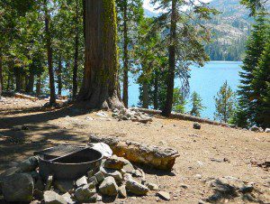
primitive camp spots
Sawmill Lake 4×4 Camp

camp RV camps NFS hikes fishing mountain biking camps river fishing

NFSlogo

Tahoe National Forest encompasses a large region of the Sierra Nevada mountains surrounding the north portion of Lake Tahoe. areas included – Donner Pass, American River, Yuba River, Northern Gold Country; Lakes Basin Recreation Area; Small lakes and reservoirs with excellent fishing, all surrounded by lush forests.

15milesto20

Campgrounds with mid (5000′) to high-elevation (8000′) locations close annually for winter snow. Many are open for a few short summer months.

Listed below are Tahoe Campgrounds located away from the Lake Tahoe Basin; Inside Tahoe National Forest  Smaller camps are on a first come, first serve basis. blue links lead to camp info.

campground elev. spots veg toilet water notes
Ahart Campground 5300′ 12 pines vault American River
Alpine Meadows 5900′ 25 pines vault Martis Creek
Bear Valley Campground 6600 10 pines vault piped OHV trails, Sierraville
Berger Campground 5900 7 pines vault lake Packer Lake, Lakes Basin
Big Reservoir Campground 4000 18 pines vault piped non motor lake, Foresthill
Boca Campground 5605′ 26 pines vault boat launch
Boca Rest Campground 5605′ 25 pines vault piped on Boca Reservoir
Boca Spring Campground 5800′ 17 pines vault piped horses
Bowman Lake 5585 7 pines vault lake Donner area
Boyington Mill Campground 5680′ 12 pines vault Boca Reservoir
Cal-Ida Campground 2000′ 21 pines vault piped Yuba River, Downieville
Canyon Creek Campground 6000′ 20 pines vault creek Donner area
Carlton Flat Campground 2200′ 21 pines vault piped Yuba River, Downieville
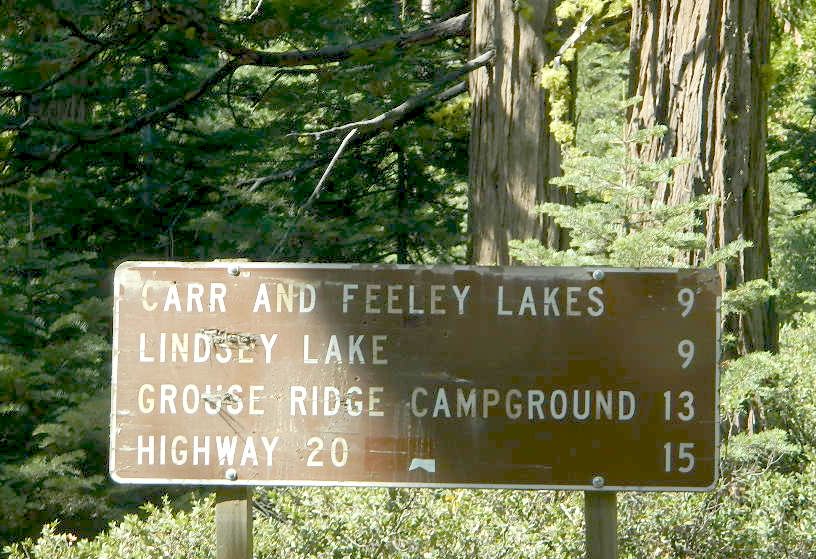
Carr Lake Campground 5900′ 5 pines vault lake Carr Feeley Lake
Chapman Creek Campground 6000′ 29 pines vault piped Yuba River
Chute Hill Campground 3400′ 30 pines flush piped Malakoff Diggins SP
Cold Creek Campground 5800′ 13 pines vault piped Sierraville
Cottonwood Campground 5600′ 24 pines vault piped Sierraville
Dark Day Campground 2200′ 16 oaks vault piped Bullards Bar Reservoir
Diablo Campground 5800′ 20 pines vault  Yuba River
Donner State Park Campground 5850′ 154 pines flush Donner Lake
East Meadow Campground 6100′ 46 pines flush piped Jackson Meadows Reservoir
Fiddle Creek Campground 2200′ 15 oaks vault piped Yuba River, Downieville
Findley Campground 6100′ 14 pines flush piped Jackson Mdws Res
Fir Top Campground 6100′ 12 pines vault flush Jackson Mdws Res
French Meadows Campground 5300′ 75 pines vault flush French Meadows Reservoir
Garden Point Campground 2000′ 19 variety vault fishing boats
Giant Gap Campground 3700′ 30 pines vault fishing boats
Goose Meadow Campground 5800′ 24 pines vault piped fish Donner
Grouse Ridge Campground 7400′ 9 pines vault Hwy 20
Hampshire Rocks Campground 5800′ 31 pines vault piped fishing camp
Independence Lake 6900′ 20 pines vault piped fishing
Indian Springs Campground 5600′ 35 pines vault piped fishing, Yuba River OHV
Indian Valley Campground 2200′ 17 pines vault piped Yuba River, Downieville
Jackson Creek Campground 5600′ 14 pines vault creek
Jackson Point Campground 6100′ 8 vault boat access Jackson Mdws Res
Lakeside Campground 5700′ 41 vault boat ramp Prosser Reservoir
Lake Spaulding Campground 5000′ 24 vault boat ramp PG&E Campground
Laiser Meadow Horse Camping 6200′ 11 vault piped High Sierra PCT access
Lewis Campground 5300′ 40 pines flush piped French Meadows Reservoir
Lindsey Lake Campground 5900′ 7 vault lake
Lodgepole Camping 5800′ 18 vault Lake Valley Reservoir
Loganville Campground 6000′ 29 vault piped Yuba River, Sierra City
Logger Campground 6000′ 252 pines flush piped Stampede Reservoir
Long Ravine Campground 2300′ 28 pines flush piped Rollins Reservoir
Lower Little Truckee 6000′ 15 vault piped Truckee River fishing
Madrone Cove Campground 2000′ 11 none Bullards Bar Reservoir
Meadow Lake Campground 7200′ 15 vault Sierra fishing camp
Meadow Lake Shoreline 7200′ 10 vault High Sierra Nevada
Mumford Bar Campground 5300′ 5 vault Foresthill Road
North Fork Campground 4400′ 17 vault piped American River
Onion Valley Campground 2300′ 5 oaks vault Sierra fishing camp
Orchard Springs Campground 2300′ 15 oaks flush piped Rollins Reservoir, Colfax
Pack Saddle Campground 6000′ 15 pines vault pump Packer Lake
Lakes Basin
Parker Flat OHV Camping 3900′ 7 pines vault off roading trails
Pass Creek Campground 6100′ 30 pines flush piped Jackson Mdws Res
Peninsula Campground 2300′ 58 pines flush piped Rollins Reservoir
Pine Aire Campground 2700′ 75 pines flush piped South Yuba River Camp
Poppy Campground 5300′ 12 pines vault French Meadows Reservoir
Prosser Campground 5800′ 29 pines vault Prosser Res.
Ramshorn Campground 2600′ 16 pines vault piped Yuba River, Downieville
River Rest Campground 2700′ 105 pines flush piped South Yuba River Camp
Robinson Flat Campground 6800′ 5 pines vault well
Rocky Rest Campground 2300′ pines vault Yuba River, Downieville
Rucker Campground 5800′ 10 pines vault Rucker Lake fishing
Sagenhen Campground 6480′ 10 pines vault
Salmon Creek Campground 5800′ 32 pines vault fishing
Lakes Basin
Sardine Campground 5800′ 29 pines vault Sardine Lake Lakes Basin
Schoolhouse Campground 2200′ 56 oaks flush piped Bullards Bar Reservoir
Scott’s Flat Campground 3200′ 86 oaks flush piped Scotts Flat Reservoir
Shirttail Creek Campground 3700′ 30 pines vault Sugar Pine Reservoir
Sierra Campground 5600′ 16 pines vault Yuba River, Sierra City
Silver Creek Campground 5800′ 27 pines vault Truckee River fishing
Snag Lake Campground 6000′ 12 pines vault Gold Lake Lakes Basin
South Yuba Campground 2700′ 16 pines vault South Yuba River Camp
Sterling Lake Campground 6500′ 6 pines vault lake
Talbot Campground 5600′ 5 pines vault American River
Union Flat Campground 3400′ 11 pines vault piped Yuba River, Downieville
Upper Little Truckee Camp 6100′ 26 pines vault Truckee River fishing
Webber Lake Campground 6800′ 60 pines vault lake Sierra fishing
White Cloud Campground 4200′ 46 pines flush piped biking, Nevada City
White Rock Lake Camp 7800′ 8 pines none High Sierra Nevada
Wild Plum Campground 4400′ 47 pines vault piped waterfalls, Sierra City
Woodcamp Campground 6100′ 20 pines flush piped
Woodchuck Campground 6300′ 8 pines vault creek
Yuba Pass Campground 6700′ 12 pines vault piped Yuba Pass, Hwy 49
Loganville Campground
Loganville Campground on Hwy 49
Union Flat Campground
North Yuba River @ Union Flat Campground

Tahoe National Forest

Tahoe Topo Maps


Ansel Adams Wilderness

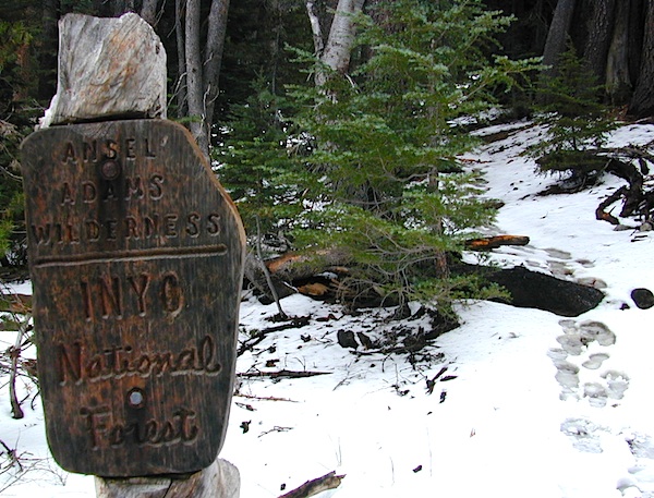
anselwoodsign

Alpine high country hiking, Sierra Nevada mountains, California

Ansel Adams Wilderness Area

Ansel Adams Trail Map, Tom Harrison
Ansel Adams Map, Forest Service USDA
Ansel Adams Map, NatGeo

Ansel Adams Hiking Map
The Ansel Adams Wilderness is an area in the Sierra Nevada of California. The wilderness is part of the Sierra and Inyo National Forests, in the Eastern Sierra portion of the range, overlooking Mono Lake. Yosemite EAST is what NatGeo likes to call it. The wilderness spans 231,533 acres with Yosemite National Park lies to the north and northwest, while the John Muir Wilderness lies to the south.

The wilderness was established as part of the original Wilderness Act in 1964 as the Minarets Wilderness. The 109,500-acre Minarets Wilderness was created by enlarging and renaming the Mount Dana-Minarets Primitive Area.

In 1984, after his death, the area was expanded and renamed in honor of Ansel Adams, well-known environmentalist and nature photographer who is famous for his black and white landscape photographs of the Sierra Nevada.

Ansel Adams Wilderness Map

outdoor recreation –

  • backpacking
  • camping
  • fishing
  • hiking
  • horseback
  • ice climbing
  • lakes
  • mountaineering
  • peaks
  • wildflowers

surrounding park & forest lands –

nearby towns –

leeviningvalley
lee vining canyon

Ansel Adams Wiki
Ansel Adams Hiking on Summit Post

Day hikes or overnight backpacking trips require a Wilderness permit and can be obtained at the local ranger station. A good topo map will also prove invaluable on your hike. Access trailheads for Ansel Adams Wilderness from EAST and WESTERN sides of the Sierra Nevada range.

Ansel Adams Trailheads from the west –

Onion Springs Meadow trailhead, Vermillion @ Lake Edison (Sierra NF)

Isberg trailhead & Mammoth trailhead @ Granite Creek Campground via Beasore Road, way up behind Bass Lake (Sierra NF)

Isberg Pass trailhead from Yosemite National Park

Ansel Adams Trailheads from the east –

Bloody Canyon, Walker Lake trailhead, near Grant Lake on June Lake Loop (Inyo NF)

Rush Creek / Fern Lake trailhead, near Silver Lake on June Lake Loop (Inyo NF)

Agnew Meadows trailhead & Minaret Vista trailhead, Mammoth Lakes CA (Inyo NF)

Devil’s Postpile trailhead, behind Mammoth Lakes CA (Inyo NF)

Fern Lake Reflection
Fern Lake, day hike from Hwy 158 (June Lake Loop)

John Muir Trail Map

John Muir Wilderness Maps

Sierra Nevada California / Inyo National Forest & Sierra National Forest

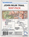
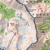
topo detailsTom Harrison John Muir Map Pack

This one is the most detailed, easy to read map available for this popular High Sierra region. The maps are compact size 8.5″ x 11″, waterproof & tear resistant, easy to store in a backpack. The pack contains 13 individual sheet maps of the John Muir Wilderness.

JMT Maps

Buy JOHN MUIR MAPS on Total Escape!


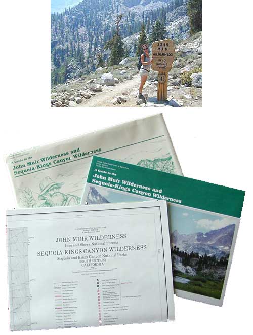
USGS National Forest Service John Muir Wilderness Map

The Forest Service edition of topo maps for the John Muir Wilderness, including the Sequoia-Kings Canyon Wilderness as well. Old fashioned paper maps, large, folded, 2 pieces in one envelope.

Area maps surrounding the John Muir Wilderness:

john muir

Yosemite Lakes

yosemite camping lake
Lakes in & around Yosemite

These are picnic lakes, hiking lakes and camping lakes that are located inside Yosemite National Park or the surrounding areas bordering the granite wonderland.

Tioga
Tioga Tent Camping

John Muir Wilderness

John Muir Hiking / John Muir Map

High Sierra Hiking

California Wilderness Area Acres Topographical Maps
John Muir Wilderness

elevations: 4000′-14,496′

584,000 John Muir Wilderness Maps
Inyo National Forest

JMT

High Sierra Nevada / Eastern Sierra

Rugged Sierra Nevada high country. The highest peaks in the Sierra Nevada mountains can be found inside this Wilderness. Many peaks are well above 13,000 feet. Granite, glaciated basins, big snow, alpine lakes, meadows, wildflowers, streams, creeks, cliffs, jagged peaks. Mount Whitney stands as the tallest mountain in the lower 48 states.

John Muir Trail Maps
– JMT Topo Map

lacontedivide
Le Conte Divide, Sierra Nevada California – 12,000′ elevation peaks

Eastern access via steep granite hiking, off US Hwy 395 (Bishop, Independence, Lone Pine)
Western access backpacking thru Kings Canyon National Park, Hwy 180
or Sequoia National Park, Hwy 198 (Mineral King, Three Rivers)
or Sierra National Forest, Hwy 168 (Lake Edison, Florence Lake, Courtright Reservoir)
North access via backcountry Yosemite National Park, Hwy 120
or Mammoth Area towns (Lee Vining, June Lake, Mammoth Lakes)

Hundreds of miles of hiking trails, some of the highest peaks in the nation. Trails open to equestrian and foot traffic only. Trailhead quotas limit the amount of day hikers and backpackers that an access the Wilderness daily. Wilderness permit required: Inyo National Forest Permits

Eastern Sierra Visitor Center
Inyo Visitors Office

JM Topo Trails

USDA National Forest
USFS, NPS, BLM

NFS NPS

Eastern Sierra Interagency Office
US Hwy 395 @ SR 136
Lone Pine, CA 93545
760-876-6200

JMT
JOHN MUIR TRAIL- John Muir Wilderness

nearby towns, parks & resorts:

Aspendell
Big Pine
Bishop, CA
Courtright Reservoir
Florence Lake
Independence, CA
Kings Canyon National Park
Lake Edison
Lone Pine, CA
Mammoth Lakes
Olancha, CA
Tom’s Place
Wishon Reservoir
Yosemite National Park

www.flickr.com

Desolation Wilderness

Desolation Wilderness Area

63,690 acres, a federally protected wilderness area located along the crest of the Sierra Nevada mountain range – in between Lake Tahoe and the Gold Country, on the western slopes. This is back country Tahoe @ tree-line, where big, bare granite rock of the High Sierra meets the snow melt in 80 alpine lakes; several streams; hiking, fishing horseback riding, and backpacking. Elevation range approx. 6000′ – 9,985′

El Dorado National Forest

916-573-2600

The Tahoe Rim Trail and Pacific Crest Trail pass through the wilderness.

Desolation Wilderness Map
(National Forest Service USDA)

Desolation Wilderness Topo Map
Desolation Trail Map
(Tom Harrison Maps)

List of Desolation Wilderness trailheads:

  • Loon Lake Trailhead
  • Buck Island Trailhead
  • Van Vleck Trailhead
  • Rockbound Trailhead
  • Twin Lakes Trailhead
  • Lyons Trailhead
  • Twin Bridges Trailhead
  • Ralston Trailhead
  • Echo Trailhead
  • Echo Lakes Trailhead
  • Glen Alpine Trailhead
  • Mount Tallac Trailhead
  • Bayview Trailhead
  • Eagle Falls Trailhead
  • Meeks Bay Trailhead
  • Horsetail Falls Trailhead

List of nearby towns:


View Larger Map