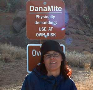
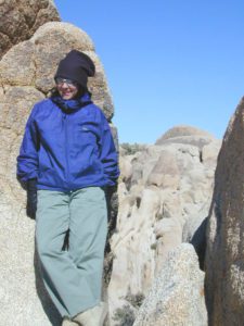
DanaMite founder of Total Escape

totalescape.com – online since 1996
(before the dot com crash, before digital cameras, before GPS, before social media & way ahead of smartphones)
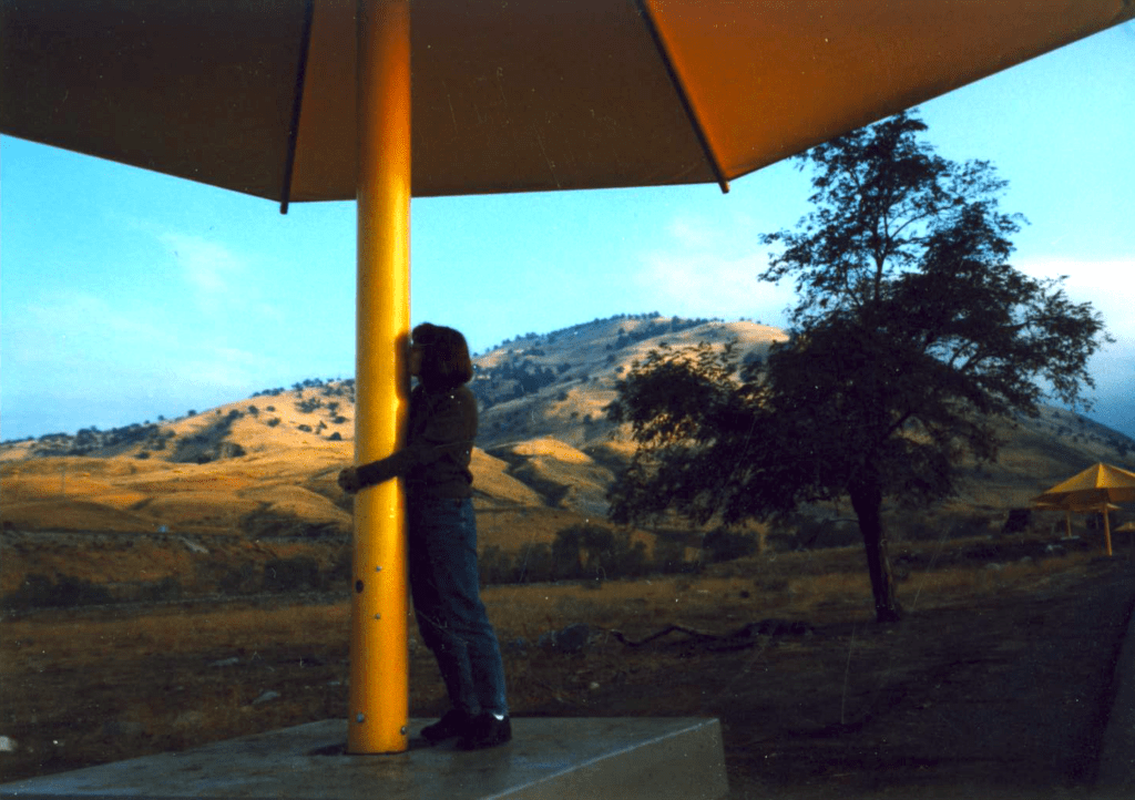
Sole creative force of Total Escape, Dana Williams left her 3D animation career to start living and working her dream job, online and off. Utilizing artistic talents, computer skills, a vast knowledge of the California landscape and a simple love of nature, to make it all come together for a killer web site called Total Escape.
27 years online means fresh content & updates every month; reworking web code every few years to keep up with various browsers, apps, maps, and wildfires.


“travel agent to the back woods”
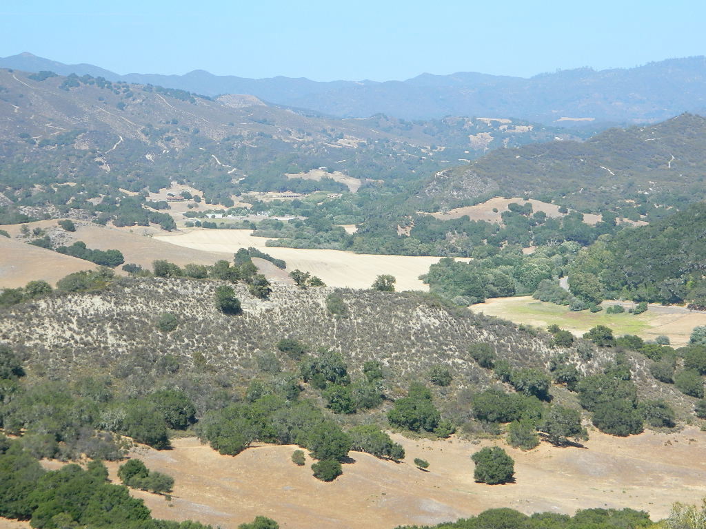
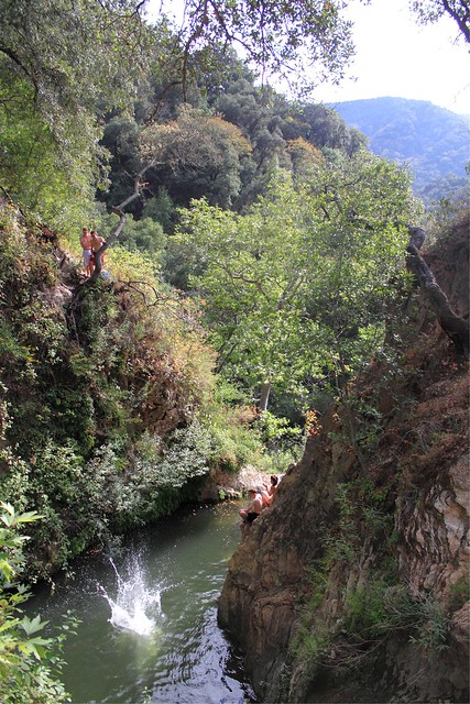
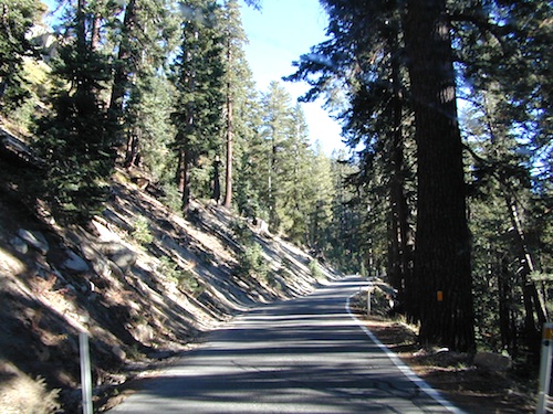
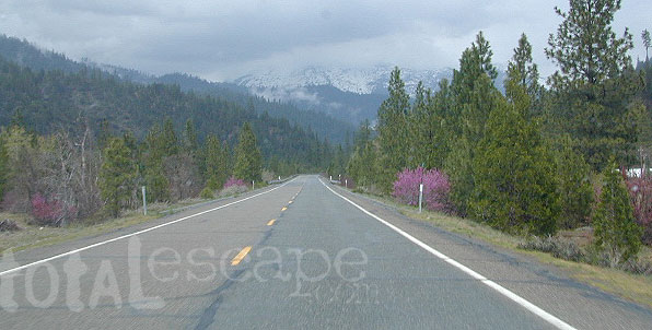
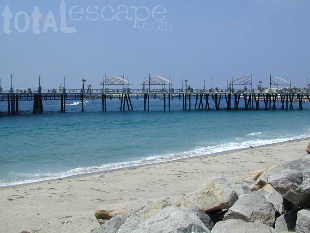
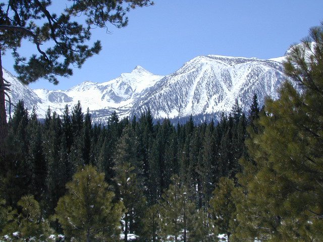
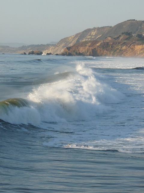
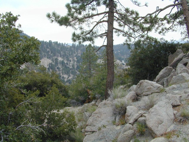
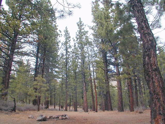
 Living close to the earth with organic gardening and rural living, DanaMite strives to offer California residents, new-comers and visitors unique, local destinations, concentrating on the outdoors – well away from overcrowded, busy, urban cities and tourist traps. Total Escape can show you how to discover the secret, hidden spots on your public lands that the gov web sites will not even dare to mention.

help keep
|
the independent source for California travel
NO CORPORATE sponsorship
No venture capital
No government subsidies
No annoying pop-up ads
No scripts chugging bandwidth
No membership needed
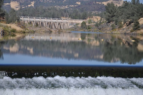
Decades without a television set lends plenty of time for studying terrain, topographic maps, GPS coordinates and thousands of photographs to compile more than 8000 pages on just California travel. Far from the daily grind of everyday life, DanaMite continues in educating the public about local travel, camping, family farms, organic cafes, outdoor recreation, respecting the land, responsible use of our resources & how to get more enjoyment out of weekend travels.
- launch of www (web 1.0)
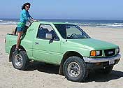
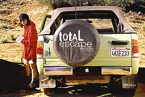
- my capable vehicle
- 30+ years of computers
- artistic eye & love of nature
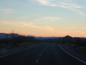
- the journey & adventure
- sick of my corporate job
- exploring unknown destinations
- discovering small towns
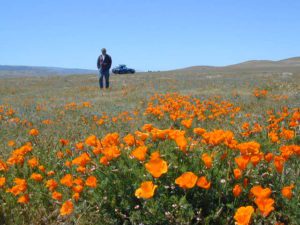
- wild lands & outdoor recreation
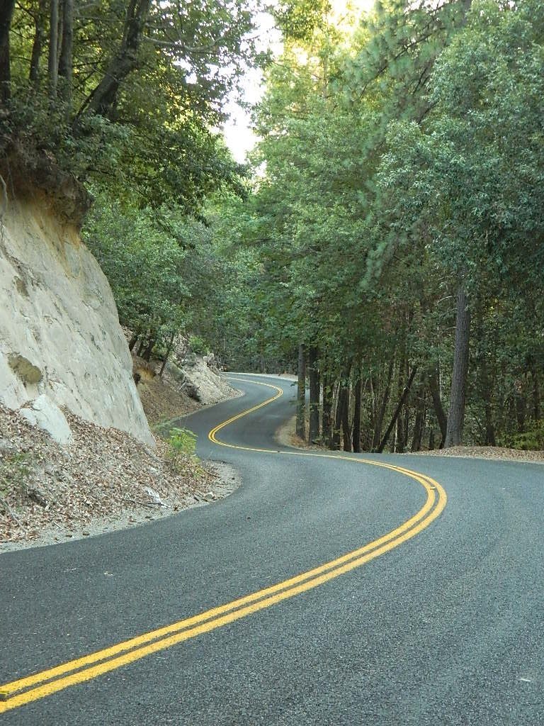
- local travel, close to home
YOUR SUPPORT keeps Total Escape going:
- click-thrus on banner ads
- donations (see above, PayPal link)
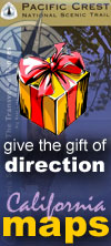
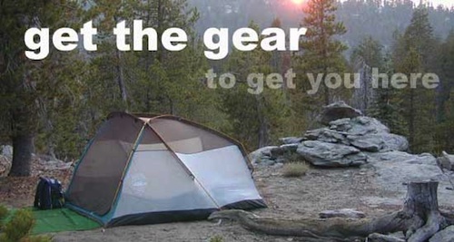
- map sales & gear orders
- word of mouth, pass it on
- displaying a bumper sticker
- lodging reservations
- booking a mountain cabin
![]()


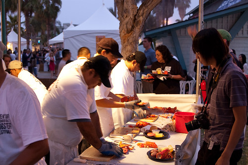


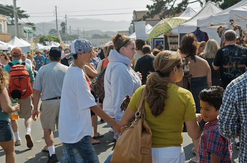


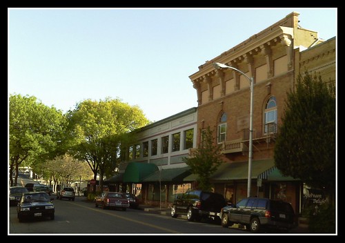


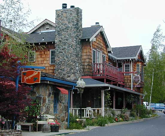
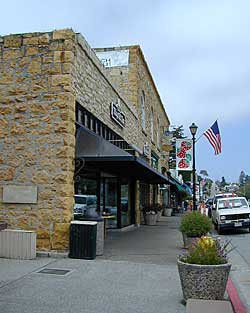
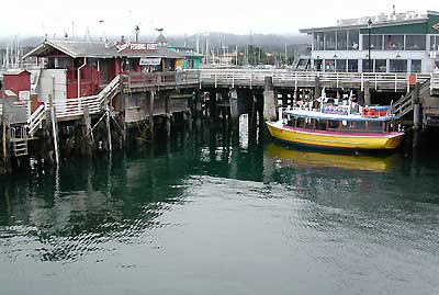
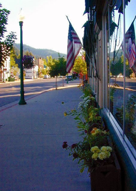
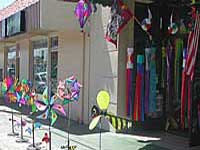
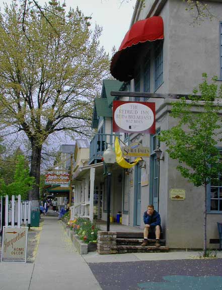 Listed on this page are California cities and towns that are well known for their shopping – downtown villages, boutiques, art galleries, gift shops, antique stores, shopping plazas, factory outlets, malls and restaurants.