Tag Archives: beaches

Kings River Camping

Camping areas along Kings River, Sierra Nevada California
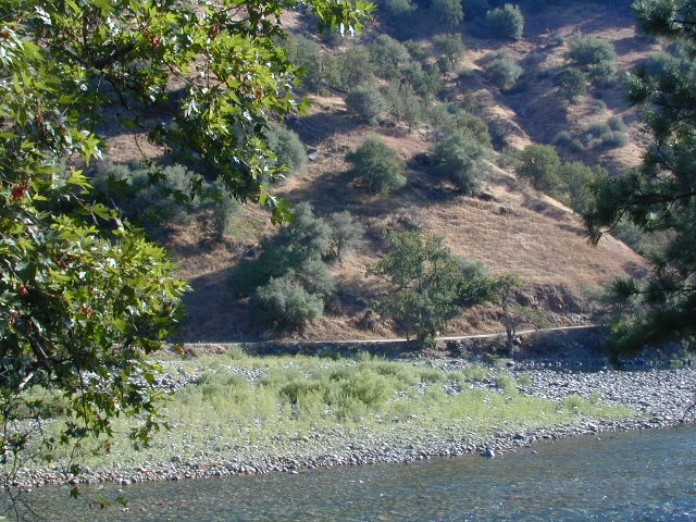
dirtroadskings

Kings is the longest river in the Sierra Nevada and very rugged and remote in most of the length. The Upper Kings is situated in the Wilderness and National Park at the highest of elevation. Granite alpine back country, with abundant small lakes, the Pacific Crest Trail and numerous Wilderness areas.

pct

The tallest peak, Mount Whitney, drains this way – down waterfalls and whitewater, westward to the San Joaquin Valley. Agriculture, farmlands and orchards of fruit.

The mid section of this mighty Kings River runs close to Hwy 180 inside the Kings Canyon National Park

fish

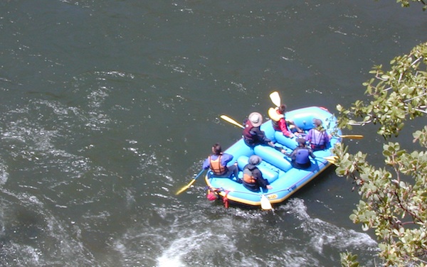
The Lower Kings is popular among campers, fishermen, kayakers and rafters, accessible most of the year. Upper Kings River is located inside the National Park boundaries.

hiker

Upper Kings River Headwaters

8000-10,000′ elevation
PCT trail camping, hiking trails lead 20+ miles from Cedar Grove, skirting the Joh Muir Wilderness

camp

NPS Campgrounds @ National Park
South Fork Kings River

Inside Kings Canyon National Park:
Cedar Grove Village @ end of Highway 180

elevation 4600′

may be closed during winter months.
reservations recommended.
NPS

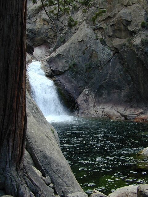
roaring falls

Roaring River Falls

Sentinel Dome (9115′ elev)

hikes
Roads End Trailhead
Backpacking trails lead up river from the paved parking area.
NPS – wilderness permits required for overnight stays.
Camping, day hikes and horseback trails. Wildlife and wildflowers abundant in this Cedar Grove / South Fork canyon.
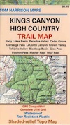
Kings Highcountry Topo Map

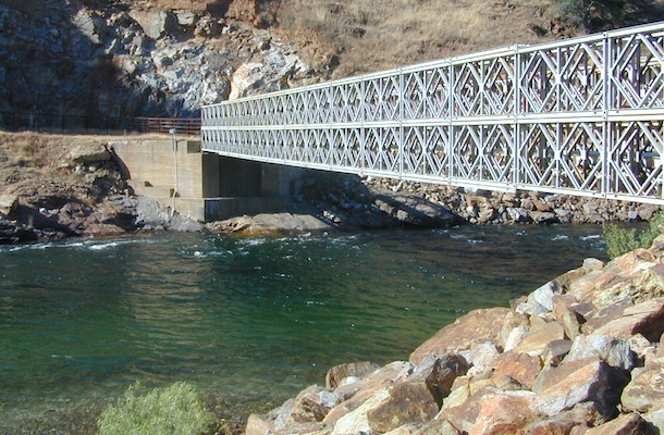
bridge kings

Camping near Lower Kings River

Open all year round. Outside the National Park boundary, westward in lower elevations, many more camping options are available.

NFS

NOTE: Sierra National Forest is located  on the north side, along the river shore in between Pine Flat Lake & Kings Canyon National Park. But Sequoia National Forest is located on the south side, so you may need more maps. Cell phone service is spotty or non-existent in this deep canyon.

Lower Kings is best accessed via the paved roads, up behind Pine Flat Lake, California

river
Trimmer Springs Road #11S12: a paved access road, that wraps around the northern shore of Pine Flat Reservoir. Very curvy and long, with 25 mph curves; this main route continues east into the massive Kings River Canyon.

Google Maps may have this road crossing the river, towards the end. Proper signage is questionable in the area, since local rednecks love to shoot up signs. Trimmer route quickly peters out to narrow dirt roads, anywhere past the Mill Flat Campground area.

Lower Kings is NOT easily reached via the National Park, nor Kings Canyon Highway 180. Dirt road travel is required on Road #12S01, which can be steep and rocky at best. The drive is a steep climb up to the highway, which may require 4 wheel drive in some sections, depending on weather and land slides. This road is rough, so you will need at least a high clearance rig and a good forest map. Winter brings some snow and abundant rains (NOV – APRIL).

LANDSLIDES and ROCK SLIDES are common with ROAD CLOSURES not always posted on the Sierra National Forest, NFS web site.
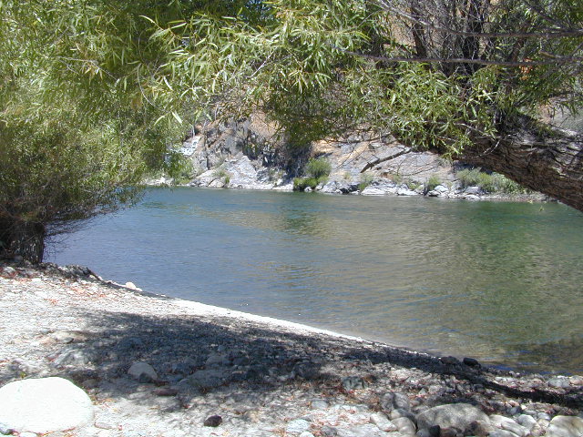
big river kings


poppy

Wildflowers are abundant in this region for springtime. (MARCH-MAY)

camp

(north shore)
Lower Kings River
elevation 1100′

Sierra National Forest fish

Kirch Flat Campground NFS (17 sites)

tables & toilets

both above camps are free camp spots: boondocking, dispersed camps, primitive car camping, tent camping, RV camping, river fishing, kayaking, rafting

Sierra Road #12S01 – primitive camping, few pit toilets; fishing access, some trailhead camps and RV spots along river. The northern most arm of this road is also referred to as Road# 12S001 Garnet Dike, on the NFS web site.
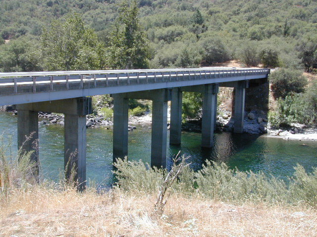
newbridge
Along paved routes, near bridges, some dispersed camping is also allowed. Campfire permits are required.

Sierra Road #9 is Big Creek Canyon a side route, graded dirt road worth exploring for primitive camping options. The farther you drive up, the more vegetation you will find. Campfire permits are required.

BlackRock Reservoir Road #11S12, another side route (paved) climbs steeply in elevation, along a cliff edge. This spot offers a small NFS campground near a lake, and is located along the North Fork of the river.
kingsflow2010
click to enlarge

(south shore)
Lower Kings River

elevation 1000′

Sierra National Forest

NFS

Lake View

boatramp

Pine Flat Reservoir

elevation 952′

rafterskings

Avocado Lake Park is down river and a perfect spot for a picnic or BBQ. A 210 acre day use park providing recreation that includes swimming, fishing and picnicking. The park has picnic tables, a group picnic area, BBQs, boat launching ramp and a playground. West of Pine Flat Reservoir, this grassy county park is only open during daylight and no overnight camping is allowed.

picnic

Next park down river is
Kings River Green Belt Park, which seems to be popular with joggers and dog walkers. Also run by the county, this place closes at sundown and no camping facility is offered.

RV

@ Highway 180

Riverbend RV Park
17604 E Kings Canyon Rd
Sanger, CA 93657
with seasoned organic firewood


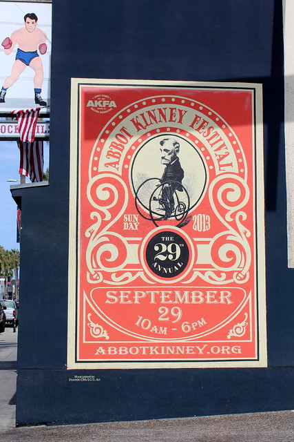
Abbot Kinney Festival

ABBOT KINNEY FESTIVAL 2011 (09.24.11)

Abbot Kinney Festival
Venice Beach Street Fair

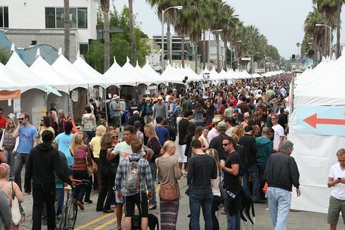
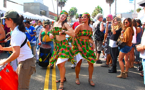
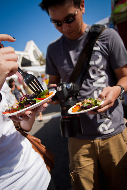
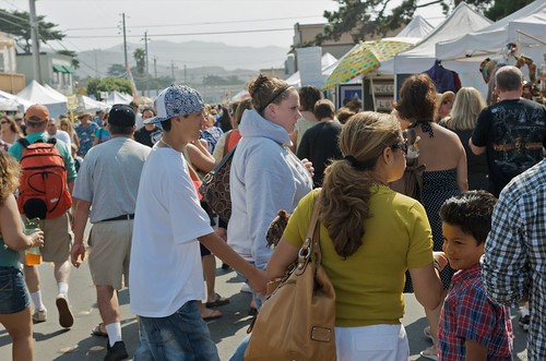
35 years running, held each year on Abbot Kinney Boulevard, in between Main Street and Venice Boulevard. Promotes the vibrant creativity that makes the funky community of Venice Beach so unique. The long running street festival is best known for an array of local artisan crafts, live music, DJs, good food and entertainment. Activities and areas are designed to complement the eclectic, cutting-edge mix of over 100 boutiques, art galleries, restaurants, bookstores, design firms, coffee shops, clubs, salons, and much more along the famed bohemian-chic shopping district of Abbot Kinney Blvd.

Annual event; September
One day event
310-570-7059

Venice, CA

abbotkinney.org


crowd shot

ABBOT KINNEY FESTIVAL 2011 (09.24.11)

Los Angeles - Venice: The Brig Venice - Abbot Kinney Festival

Fiesta Hermosa Beach

CIMG1647

Fiesta Hermosa
Hermosa Beach Street Fair

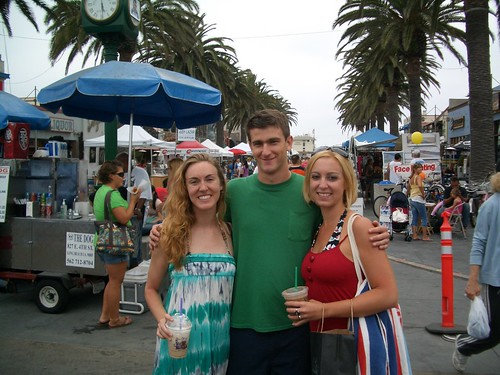
This long running beach block party is always held on the extended Memorial Day Weekend – kicking off the summer months. 3 days of live music, art, food & fun.

Annual event; May

HERMOSA BEACH CA

fiestahermosa.net


IMG_0432

US Open of Surfing

2010 US Open of Surfing

US Open

Surfing Huntington Beach

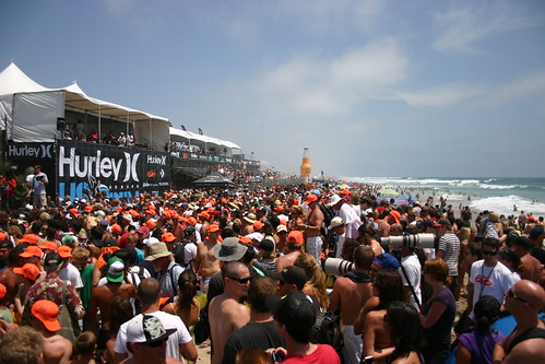
Huntington Beach host the annual surfing contest. Top surfers from around the world, a mix of action sports superstars of skate, BMX and freestyle motocross, as well as top musical talent – all combined in a festival atmosphere for a week-long youth cultural experience that will thrill and excite hundreds of thousands of spectators in beautiful Huntington Beach.

Annual event; July

HUNTINGTON BEACH CA

usopenofsurfing.com

US Surf Open '12

IMG_0895-2

Hurley US Open of Surfing

Pacific Coast Fog Fest

Pacifica Fog Fest

Pacifica Fog Festival
Pacific Coast Fog Fest

Held along Palmetto Avenue in Pacifica, is a weekend arts and crafts fair with over 190 arts and craft booths, live entertainment, plenty of tasty food and drink to please any appetite. Since 1986!

Annual event; September
650-355-4122

Pacifica, CA

pacificcoastfogfest.com


Pacifica Fog Fest 2011

Pacifica Fog Fest 9-2009

Pacifica Fog Fest

St. Anthony’s Celebration

 Pismo Beach Sunshine

Pismo Beach Summer Events

St. Anthony of Lisbon Portuguese Celebration

Pismo has loads of things to do in summer. Saint Anthony’s celebrates the cultural contribution of the area’s Portuguese descendants. Event held at 390 Bello St. Pismo Beach, CA

Annual event; August
805-773-0527

Pismo Beach CA

facebook.com/StAnthonyCelebrationOfPismoBeachInc/

Ventura Beach Camping

Ventura Campgrounds

DSCN0825

Ventura County Park Campgrounds

on US Hwy 101 Seacliff / Mussel Shoals stretch of beach

Ventura City Campground RV Parks

blue links lead to State Park pages with camp reservations.

State Park

Ventura State Beach Campgrounds

Ventura County coastal towns

DSCN0810
Beach city w/ nice downtown, north of Los Angeles, CA


canoe

Ventura Lake Parks
located inland from coast

see also – Ojai Camping, Santa Barbara Beach Camping and Santa Barbara Mountains Camping

porthuen_hike_3

Driving on the Beach

beach sunset

Driving on the Beach in California

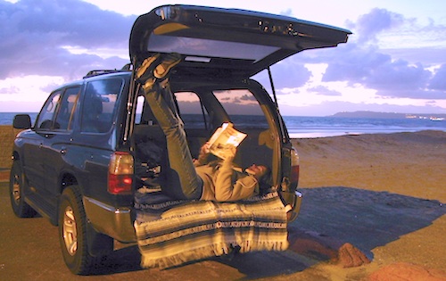
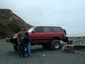
Gone are the days of ‘beach blanket bingo’ where film crews glamorized California – the beautiful people, the nice vehicles, the sport of surfing and the glorious beaches. There are very few places left on the California coast that you can actually drive a vehicle on the sand, right next to the ocean. The military bases, oil corporations and the utility companies have the front row seats to the Pacific genocide, and the rest of the population is restricted with extreme limited access.

Baja California has minimal regulations on coastal access with a car. No pavement, no signs, no cell phone signal, and no help for miles – something to consider if you get stuck south of the border in Mexico. Baja has numerous places to explore below Ensenada, but asking locals is always a favored approach. Pay attention to private property signs and always close the cattle gate (if you found it closed).

silverstrand

Southern California, no beaches allow vehicle traffic. San Diego offers a sliver of sand @ Silver Strand SB, which is a developed campground for motorhomes and car campers, located right on the beach south of Coronado, CA. Fiesta Island in Mission Bay, San Diego allows driving on sand and a favorite among active dogs, but not camping is allowed. In Los Angeles you can park a motorhome at a sandy, paved campground for a hefty overnight fee. Dockweiler Beach, right near the Chevron plant and LA sewage treatment facility. Sounds delightful, not.

Ventura & Santa Barbara Coastal Regions have many awesome State Beaches, but none allow vehicles on the sand.

AWD on the sand

Central Coast California:

  • Oceano SVRA – off road sand dunes and open camping on the beach. Day use or overnight camp fee required; near Pismo Beach, CA
  • Red, White and Blue Beach – nude beach w/ campground (now closed); north of Santa Cruz, CA

Northern California:
Lost Coast

  • Usal Beach Campground – redwood creeks and forests meets coast and cliffs. Camp fee for overnight use. Long dirt road access. No RVs!
  • Black Sands Beach (OHV 4×4 trail, now closed to all vehicles) near Shelter Cove, CA

chico couple

after-the-fun maintenance tip:

Salt water and sand is very corrosive to metal – which will rust your truck or car badly. Now that you’ve had fun on the beach, we remind you to clean the underneath of your vehicle ASAP. Spraying powerful hose in your wheel wells and all underneath the vehicle. You might need to lay on the ground and get wet to do this job properly. Some car wash places might be able to do this service for you, but it will cost ya.

Picnic Los Angeles

piru lake

Picnic Area Los Angeles – Picnic Spots LA

picnics


LA PICNIC GROUNDS & PARKS:

  • Angeles Crest Hwy 2 – Switzer Picnic, Angeles National Forest
  • El Matador State Beach, Malibu Cliffs just north of Zuma Beach on Pacific Coast Hwy, great area overlooking secluded beach, hiking trails
  • Fort Tejon State Historic Park – great stop along I-5 (atop the Grapevine)
  • Millard Falls @ Chaney Trail, Altadena – Millard waterfall, half mile hike
  • Point Fermin Historic Lighthouse, Palos Verdes – Friendship Bell & surrounding area overlooking Long Beach; LA harbor / Pacific Ocean
  • Palos Verdes @ Palos Verdes Dr. small park on top of hill, cliff w/ field, overlooking ocean , Malibu & LA basin.
  • Deer Creek Rd, Malibu North dirt road pull outs 1 mi. up & 1.5 mi. with spectacular views of ocean; Santa Monica Mtns. nearby
  • Pyramid Lake – North side of lake; Good views, Piru Creek nearby
  • Lake Castiac – NE side on Lake Hughes Rd., Good views, few small pines
  • Lake Piru & the dirt roads surrounding it in Los Padres NF

DSCN0011

DSCN0046

Campgrounds Beach

California Campgrounds –
Camping at the Beach

Costal Cliffs

Autumn and Spring are often the best months to enjoy the (somewhat) uncrowded coastline of California. Kids are in school, summer vacation rush is over, and there is plenty of sunshine before those winter storms come rolling in.

reservations are highly recommended

Anything & any place along the coast is “much desired”, worthy of charging for. From seaside restaurants to convenient, paid parking lots – face it – California can be expensive.

Beach camping is no different. Coast camping in California is abundant, but state run campgrounds will run you a pretty penny. Camping fees are well above $20 per night. If you want flush toilets in the bathroom and a level, paved spot for a big RV, it will cost even more. Make sure to reserve a campsite as far ahead as possible. Ask about off-season months to visit.

Privately run campgrounds are often more expensive, but they might be a nicer facility and be in a better location. If you want free camping, then head to the northern part of the state – and take a dirt road to reach your seclusion. Both the Big Sur and Lost Coast both have excellent dispersed camping on backroads, at no charge, and a campfire permit is required for such camping.

Campgrounds situated on a sandy beach or right on a cliff edge overlooking the ocean. Private cove camp sites, tent cabin rentals, yurt resorts, RV campgrounds; Several coastal canyons (from sycamores to redwoods) usually have creeks and abundant camping options.

Pismo Clear Winter Day

Campgrounds Beach: a popular search phrase for camping near the coast in California. The best months to camp along the coast depends on what part of California you wish to visit – at what time of the year.

With 700 miles of ocean front there is a lot to choose from – RV parks w/ small marina, 4×4 camps, hike-in only sites, and plenty of California State Parks & Beaches.

Much of the coastal camping is NOT “on-the-sand” beach camping. Most of the coastline in California is rugged, some forested and usually full of ‘wildfire prone’ chaparral. Cliffside campgrounds, redwood canyons with creeks, green grassy lawns w/ shade trees and paved camp sites, US 101 busy, freeway campgrounds; all are close enough to the shore to be considered COASTAL camping.

Tents at Capinteria
Tents at Capinteria SB

Even in winter, the coast can be quite mild in Southern Cal, so the campgrounds are open all year long. NorCal Coast gets the brunt of WET & COLD winter weather, so those camps are open seasonally, during warmer, drier months (APRIL-OCT).

JUNE GLOOM is a cloud layer that covers the coastline in the early part of summer. Weather is warm to cool with clouds, or the weather can be bright and sunny – if the marine layer ‘burns off’ by mid-day. Consider these local weather patterns, May Gray & June Gloom, when planning a vacation to the beaches of California.

listed from south to north

Southern California Beach Camping

Coronado Island
San Diego Beach Camping
Encinitas
Carlsbad
Orange County Beach Camping
San Clemente
Dana Point
Laguna Beach

carpinteriabeach

carpfirewood
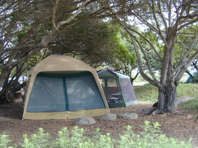
Los Angeles Beach Camping

Bolsa Chica State Beach
Capinteria SB
Doheny State Beach
Malibu Creek State Park
Ventura Coast Camping

Coast Campgrounds


Central Coast Beach Camping

Santa Barbara Beach Camping
Pismo Beach Camping
Morro Bay Camping
Big Sur Campground

marina

Monterey Bay Camping

Monterey Bay Camping
Half Moon Bay
Santa Cruz Camping
Santa Cruz Redwoods

Angel Island

San Francisco Camping

Point Reyes Camping
Marin Redwoods Camping
Sonoma Coast – Camping Jenner

Northern California Coast Camping

Mendocino Coast
Kings Range
Lost Coast: Shelter Cove
Usal Beach Campground
NorCal Redwoods Camping
Crescent City Camping

Stairwell to Beach


Pismo Camping

Pismo Beach Camping – Oceano Dunes SVRA (Pismo Dunes)

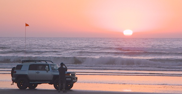
This might be the only place on the entire California coast where you can take your vehicle on the sand. Drive on the beach!

RV CampingOpen dispersed camping is available along Oceano Beach. Watch the high tide line and set camp well beyond that mark. A typical weekend is busy year round. Sand rails, quads, the beefy family SUV, or the ‘garage queen’ trucks. With all these motorized toys, you’re thinking either – yeah, or no way. Option B is listed below.

SAND DUNES
Off-Road playground, Oceano Park is also referred to as Pismo Dunes.

San Luis Obispo: SLO is north of Pismo a few miles. North of Avila Hot Springs. Other amazing parks include – Montana de Oro & Morro Bay.

DSCN1054

Oceano Dunes Camping open camping

Oceano State Vehicle Recreation Area has open camping on the beach, with a toilet within walking distance. No tables, no fire rings or paved anything! This is where all the big boys with the big toys like to hang out. Toy box trailers, bon fires, crowds & exhaust fumes. This crew can be seen each weekend driving Hwy 166, over to Bako.

Option B:

a large 82 site coastal campground is better suited for RVers & tourists wanting to avoid dune buggies. Horseback riding, beach, bike trails, laundry, market, shops & restaurants all close by. State Park Campground within walking distance to downtown Pismo & the Pismo pier.

Pismo State Beach State Park

Pismo State Beach Campground camp

more Pismo camp options:

Coastal Dunes RV Park RV Parks Pismo

La Sage Riviera RV Campground RV Parks Pismo
319 North Highway 1, Pismo Beach

Oceano County Campground
Oceano, CA

Pismo Coast Village RV Resort RV Parks Pismo
Pismo Beach, CA

Lake Lopez, inland
Arroyo Grande, CA

beach camps

nearby cities include:

pismo dunes

see also – Rock Front Ranch

Santa Barbara Beach Camping

Santa Barbara Beach Camping

Santa Barbara Campsites

Beach Campgrounds along the coast are made up mostly of State Beaches & Parks. This is a popular and busy part of the California coastline for camping, all year long. Many RVers vacationing year round and big family events are held often. Tent camping is also available – but you will be surrounded by motorhomes, and paying a premium price for a camp spot. With the major highway US 101 zooming along the cliffs at shoreline, some of these campground are located within ear distance from the freeway and the railroad track. Ocean waves may overpower the traffic noise, but we aren’t guaranteeing anything. Early summer vacations tend to be foggy.

Try also, Santa Barbara Mountains Camping

Big Sur Camping, Ojai Camping & Ventura Coast Camping

Sand Dollar Beach
Sand Dollar Beach on the South Big Sur Coast

nearby towns –

DSCN3402

Orange County Beach Camping

Orange County Coastal Camping

OC Beach Campgrounds

The overdeveloped Orange County coast is packed with condos, homes, parks and beaches, coastal villages, restaurants, shops and train tracks, so campgrounds in this region are few and far more popular than one might expect. Since Los Angeles has very limited beach camping options, most tourists wander further south for SoCal beach camping on the OC or San Diego coast line.

blue links lead to State Park pages with camp reservations.

State Park

Orange County Coast Campground reservations are highly recommended all year long, so make sure to plan ahead.

pierscene

Bolsa Chica State Park
Huntington Beach, CA

Crystal Cove State Park
Tent Camp & Beach Cottages
Laguna Beach, CA

Doheny State Beach
Dana Point, CA

Huntington State Beach
Huntington Beach, CA

Newport Canals

Newport Dunes RV Resort
Newport Beach Resort & Marina
Newport Beach, CA

San Clemente State Beach
San Clemente CA


DSCN0037

see more on OC towns –
Seal Beach, CA
Huntington Beach, CA
Newport Beach, CA
Laguna Beach, CA
Dana Point, CA
Capistrano Beach
San Clemente CA

San Diego Beach Camping

Coastal Cliffs San Diego

San Diego Coastal Campgrounds
Mission Bay & North County
SD Beach RV Parks & Camping

RV camps camp

San Diego’s mild climate means camping is available all year round. Winter storms can get windy and rainy, but most campgrounds are still open. From north county where the coastal cliffs overlook the ocean, to downtown bay side marinas w/ RV camping, to camping right on the sand w/ ocean crashing just feet away. Bike paths are common around downtown San Diego, so you can bring your bike or skates.

San Diego has 2 BAYS, both located along Interstate 5: The main bay downtown is called San Diego Bay (one of the deepest on the west coast) and the other a few miles north, is named Mission Bay (a man-made coastal waterway w/ green parks and paved bike trails).

Reservations are required at almost ALL coastal campgrounds, especially around holidays, any 3 day weekends, and all summer long. Tons of tourists flock to Southern California and this is a very popular coastline – with busy little cities and crowded beach towns. Beware: if you are seeking secluded camping – this would not be the place.

Best Beaches

listed from south to north

Carlsbad Cliffs

There are numerous private RV resorts, some quite large, like KOA and GoodSam parks located in and around San Diego county. Most are metro-close and not located on the beach. This list is primarily coastal camping options for the San Diego region.

camping SoCal

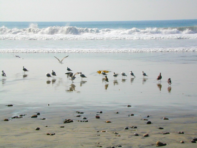
Seagulls at Cardiff

see also
San Diego Campground Camping

see a list of all
San Diego cities & towns

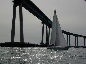
baybridge

San Diego Camping

Mendocino Beach Camping

Mendocino Coast Campgrounds

villageoncliff
Tent camping directly on a sandy beach can be found at USAL BEACH – on remote reaches of the rugged Lost Coast, via long dirt roads (not recommended for RV or camper trailers). Numerous small, cheap, forested campgrounds can be found on the Kings Range (dirt) roads. The area is also known as Honeydew or the Emerald Triangle. The “emerald” comes from the color of the main economic staple, cannabis. Heed all warnings. Private Property signs and gates mean that you need to turn arund and look for camping elsewhere. (Before you hear the gun shots.)

The remainder of camp accommodations are State Parks and State Beaches on the Mendo coast, offering developed campgrounds and most are first come, first serve. 

There are no campgrounds inside the popular, historic village of Mendocino, CA , but two state parks are within a mile to the north and south side of town: Van Damme Campground & Russian Gulch Campground. Local KOA and a few private RV parks make up the rest of the scenic coastline.

Lost Coast Camping BLM

Kings Range National Conservation Area

camp on the sand

Lost Coast Bridge

Westport Union Landing State Beach

MacKerricher State Park

  • Pinewood Campground
  • Surfwood Campground

dscn0083

Fort Bragg, California Campgrounds

Cleone Campground

Hidden Pines Camp & RV Park

Jug Handle Creek Farm & Campground

Pomo RV Park & Campground

Sportsmans RV Park

Woodside RV Park & Campground

Caspar Beach RV Park Campground

Camping Mendocino Village Area

Mendocino Coast Village

Mendocino Coast –
Albion, Pt. Arena & Gualala

camp

Manchester State Park

Manchester KOA Campground

Anchor Bay Campground @ Fish Rock Beach

Gualala River Redwood Park
Redwood forest
Mendocino Coast towns:
Albion
Caspar
Elk
Fort Bragg
Gualala
Little River
Mendocino

California Water Information

California Reservoirs
California Water Resources

water resources / water scarcity / land and water
snow flakes

SNOW PACK

State Snow Depths – Wunderground
SNOTEL Snow Depth Reports
http://www.wunderground.com/StateSnowDepth.asp?state=CA

California Snow Water Equivalents
Sierra Snow Pack Data
https://cdec.water.ca.gov/snow/current/snow/

Eastern Sierra Snow Pack by Sierra Wave
Article published Feb 2014
http://www.sierrawave.net/tag/eastern-sierra-snowpack/

Eastern Sierra Avalanche Center
Snowpack summaries published Dec 2014
http://www.esavalanche.org/content/snowpack-summaries-begin-soon

Sierra Avalanche Center
Sierra Nevada Mountain Snow in California
http://www.sierraavalanchecenter.org/


snow flakes

LAKES & RESERVOIRS

The Lowest Lake Levels in California
List of Reservoirs below 30% full, as reported Jan. 2015


Conditions for Major Reservoirs in California

http://cdec.water.ca.gov/

  • Trinity Lake
  • Lake Shasta
  • Lake Oroville
  • Folsom Lake
  • New Melones Lake
  • Millerton Lake
  • San Luis Reservoir
  • Don Pedro Reservoir
  • Pine Flat Lake
  • Pyramid Lake
  • Castaic Lake

San Diego River & Reservoir Data
Map of San Diego Hydrology, Water Storage
http://www.cnrfc.noaa.gov/

San Luis Obispo Reservoir Data
Lakes on the Central Coast of California
http://www.slocountywater.org/

  • Lake Nacimiento
  • Whale Rock Reservoir
  • Lake Lopez
  • Santa Margarita Lake
  • Twitchell Reservoir

Ventura County Watershed Map
Watershed Protection District
http://www.vcwatershed.net/

snow flakes

RIVER FLOWS

California River Forecast Center Map
Overview for recent rainfall data, snow depths, and ocean temperature
http://www.cnrfc.noaa.gov/google.php

California Current River Conditions
CA.gov Dept of Water Resources
http://cdec.water.ca.gov/river/rivcond.html

California River Forecast
California Nevada River Forecast Center
http://cdec.water.ca.gov/rivforecasts.html
Drought Info
http://www.cnrfc.noaa.gov/droughtInfo.php

Upper Sacramento River Forecast
Northern Sacto River
http://cdec.water.ca.gov/cgi-progs/rivfcast/USACBUL

snow flakes

NEWS & STATISTICS

Irrigated Lands in California – Farming Map

Dry Wells in California – DanaMite’s Map
More than 1,480 domestic well failures in 36 counties have been reported to the state of California recently.

California will need 11 trillion gallons of water to end epic drought by Mashable.com
http://mashable.com/

California Department of Water Resources
http://www.water.ca.gov/

Water in California – Wikipedia
Reservoirs, Water Sources, Aquaducts, Water Distribution
https://en.wikipedia.org/wiki/Water_in_California

Residential Per Capita Water Use across California
Water conservation measures and stats per city
http://www.californiadrought.org/

Aquafornia, the Water Education Foundation
California water news from various news sources
http://www.watereducation.org/aquafornia

Association of California Water Agencies
Largest statewide coalition of public water agencies
http://www.acwa.com/content/water-information

USGS Water Data for California
The United States Geological Survey
http://waterdata.usgs.gov/ca/nwis

EPA – Environmental Protection Agency
California Drinking Water | Local Drinking Water Information
http://water.epa.gov/drink/local/ca.cfm

California Water Impact Network, C-WIN
Advocates for equitable and environmentally sensitive use of California’s water
http://www.c-win.org/

California Drought Map
National Drought Mitigation Center
http://droughtmonitor.unl.edu/Home/StateDroughtMonitor.aspx?CA


snow flakes

PACIFIC OCEAN

Heal the Bay
Volunteer, Beach Cleanups, Santa Monica Pier Aquarium
http://www.healthebay.org/

The Pacific Genocide

  • Fukushima Meltdown
  • Acidification of Oceans
  • Overfishing
  • Pollution & Oil Spills
  • Marine Life Watch

Map California Baja

Secret Beaches
Secret Beaches of Baja

2003 Baja Map

Baja Topo Map

Topographic Maps of California Baja
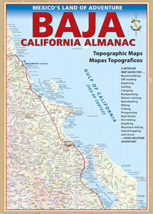
Baja California Almanac

BAJA MEXICO MAP

The mysterious topographic map maker, Landon Crumpton, is gone. Although his Baja Almanac book of the Mexican peninsula is still as popular as ever.

bajaalmaac

The Total Escape crew has been using this amazing topo map for Baja Mexico since our the very first excursions in 1990. Click below to read more about the famous, hard-to-find Baja Almanac publication.

  • Baja California Almanac
  • Topographic Map Book of Baja California

  • National Geographic Baja Maps
  • NatGeo Baja California Mexico Maps

    Baja California Maps

  • Find more Baja Maps
  • Obscure Books & Maps, AAA Maps of Baja

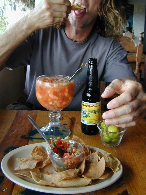
    Baja Snack

    Monterey Campgrounds

    Monterey Bay Campgrounds

    Monterey Beach Camping

    The Monterey Bay of California is located south of the San Francisco peninsula, and north of the rugged Big Sur Central Coast. This is a popular region for tourism, coastal villages w/ shops and restaurants, parks and beaches, farms and farm stands.  With Santa Cruz mountains and redwoods as the backdrop, this coastline is also highly residential.

    Camping along this coast is limited mostly to State Parks and few private RV park campgrounds. No primitive beach camping is allowed on State Beaches, no hike-in camp sites, no hidden cove tent sites, nor secret dirt roads with views over the Pacific. This is a very developed beach and bay, with the 4-lane freeway, main artery US Highway 101, bordering the entire shore.

    If you are looking for free and a more rugged, scenic camp – head south to the Big Sur Coast, to find a dirt road camp on the ridge. The sweetest ocean view hike-in camp sites can be found to the north, in the Marin Headlands of Point Reyes, which can be found under Marin Camping.

    blue links lead to State Park pages w/ camp reservations.camp

    Monterey Area Campgrounds

    (listed from south to north)

    Monterey Pines RV Campground (Navy)

    Monterey County Fairgrounds RV Park

    Marina Dunes RV Park

    Sunset State Beach State Parks
    South Campground

    Manresa State Beach State Parks
    Uplands Campground

    Seacliff RV Park

    Seacliff State Beach Campground State Parks

    New Brighton State Beach State Parks

    Santa Vida RV Park, Santa Cruz, California

    Costanoa Coastal Lodge & Campground, Pescadero

    Pelican Point RV Park, Half Moon Bay

    Half Moon State Beach State Parks
    Francis Beach Campground

    camping monterey

    woods

    seaside towns along coast at
    Monterey Bay up to San Francisco –

    (listed from south to north)

    OC

    the OC: SoCal culture – beaches, surf, mountains

    Orange County. North of San Diego & south of L.A.

    surfergirl

    OC hikes

    A wonderful resource for Orange County outdoors is
    ocparks.com

    maps for local weekends, local hikes:

    oretga highway 74
    oretga highway 74