Dana Point Festival of Whales
2 weekends long, Dana Point host this festival celebrating Whale Watching. Street Fair features arts and crafts booths, including food vendors and live entertainment.
Annual event; March
949-496-5794

2 weekends long, Dana Point host this festival celebrating Whale Watching. Street Fair features arts and crafts booths, including food vendors and live entertainment.
Annual event; March
949-496-5794
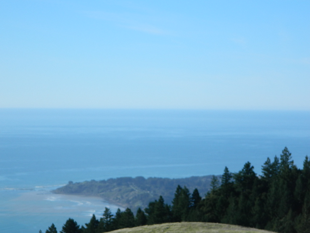 One of the most visited coastlines in the world, San Francisco – where 2 peninsulas almost meet – at the mouth of the “hidden bay”.
This is the Golden Gate to California and the Wild West.
So, you wanna escape the tourist masses… and camp out, overlooking an amazing place?
(put on your hiking boots)
Nope, the Lighthouse doesn’t have a campground! There are no camping facilities at Muir Woods National Monument, nor Muir Beach. No camping at Stinson Beach, nor Bolinas.
 The Tule Elk Reserve has no camping at all. Tomales Bay State Park no longer has car camping or RV camping available; hike-in or boat-in
camping, maybe.
What is available for campground camping on “the Point” is listed below, with phone numbers and links for more info.

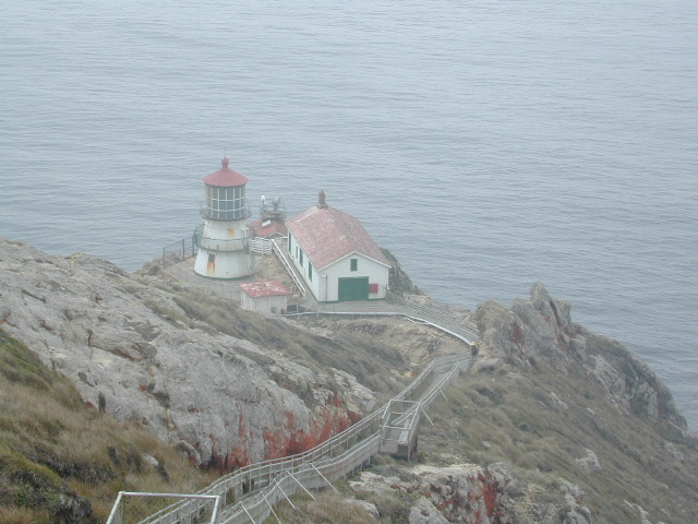
Point Reyes National Seashore Campground ![]()
reservations required
hike-in, bike-in, and boat-in camp sites only
415-464-5100
415-464-5137
Mount Tamalpais State Park Campground ![]()
reservations required
415-388-2070
Marin Headlands Camping ![]()
reservations required; no pets & no RVs
415-331-1540
Samuel P. Taylor Redwood State Park ![]()
reservations recommended; open year round
415-488-9897
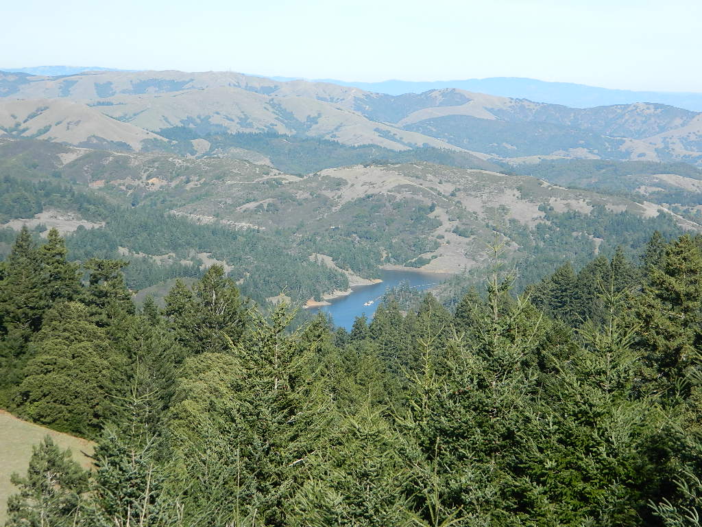
Cycling, hiking, backpacking, mountain biking, kayaking and boating are all popular outdoor recreation activities.
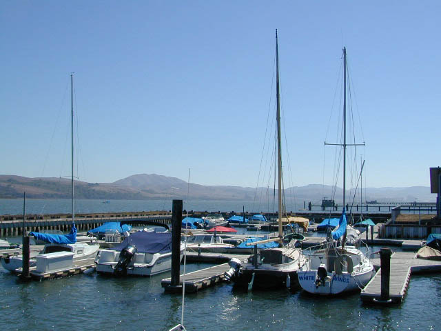
Small towns located on the Point Reyes peninsula do have a few private campgrounds, some of which can accommodate motorhomes. Follow towns links for those.
![]()
There are no RV parks, camper trailers or motorhomes allowed in campgrounds on the steep coastal region of Point Reyes. Most of the narrow, winding roads are forbidden for motorhome travels. No shoulder, no guard rails, on many curvy roads. Great viewpoints are best when you STOP to look, off the roadway.
Golden Gate National Recreation Area ![]()
nearby towns –
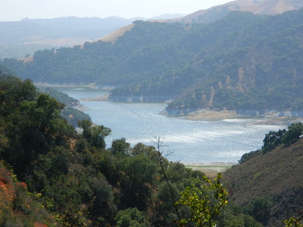
water resources / water scarcity / land and water
![]()
State Snow Depths – Wunderground
SNOTEL Snow Depth Reports
http://www.wunderground.com/StateSnowDepth.asp?state=CA
California Snow Water Equivalents
Sierra Snow Pack Data
https://cdec.water.ca.gov/snow/current/snow/
Eastern Sierra Snow Pack by Sierra Wave
Article published Feb 2014
http://www.sierrawave.net/tag/eastern-sierra-snowpack/
Eastern Sierra Avalanche Center
Snowpack summaries published Dec 2014
http://www.esavalanche.org/content/snowpack-summaries-begin-soon
Sierra Avalanche Center
Sierra Nevada Mountain Snow in California
http://www.sierraavalanchecenter.org/
![]()
The Lowest Lake Levels in California
List of Reservoirs below 30% full, as reported Jan. 2015
Conditions for Major Reservoirs in California
http://cdec.water.ca.gov/
San Diego River & Reservoir Data
Map of San Diego Hydrology, Water Storage
http://www.cnrfc.noaa.gov/
San Luis Obispo Reservoir Data
Lakes on the Central Coast of California
http://www.slocountywater.org/
Ventura County Watershed Map
Watershed Protection District
http://www.vcwatershed.net/
![]()
California River Forecast Center Map
Overview for recent rainfall data, snow depths, and ocean temperature
http://www.cnrfc.noaa.gov/google.php
California Current River Conditions
CA.gov Dept of Water Resources
http://cdec.water.ca.gov/river/rivcond.html
California River Forecast
California Nevada River Forecast Center
http://cdec.water.ca.gov/rivforecasts.html
Drought Info
http://www.cnrfc.noaa.gov/droughtInfo.php
Upper Sacramento River Forecast
Northern Sacto River
http://cdec.water.ca.gov/cgi-progs/rivfcast/USACBUL
![]()
Irrigated Lands in California – Farming Map
Dry Wells in California – DanaMite’s Map
More than 1,480 domestic well failures in 36 counties have been reported to the state of California recently.
California will need 11 trillion gallons of water to end epic drought by Mashable.com
http://mashable.com/
California Department of Water Resources
http://www.water.ca.gov/
Water in California – Wikipedia
Reservoirs, Water Sources, Aquaducts, Water Distribution
https://en.wikipedia.org/wiki/Water_in_California
Residential Per Capita Water Use across California
Water conservation measures and stats per city
http://www.californiadrought.org/
Aquafornia, the Water Education Foundation
California water news from various news sources
http://www.watereducation.org/aquafornia
Association of California Water Agencies
Largest statewide coalition of public water agencies
http://www.acwa.com/content/water-information
USGS Water Data for California
The United States Geological Survey
http://waterdata.usgs.gov/ca/nwis
EPA – Environmental Protection Agency
California Drinking Water | Local Drinking Water Information
http://water.epa.gov/drink/local/ca.cfm
California Water Impact Network, C-WIN
Advocates for equitable and environmentally sensitive use of California’s water
http://www.c-win.org/
California Drought Map
National Drought Mitigation Center
http://droughtmonitor.unl.edu/Home/StateDroughtMonitor.aspx?CA
![]()
Heal the Bay
Volunteer, Beach Cleanups, Santa Monica Pier Aquarium
http://www.healthebay.org/
The Pacific Genocide