Tag Archives: autumn

Rock Creek California

rockycreek

Rock Creek, CA
California Rock Creeks

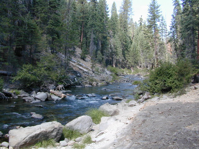
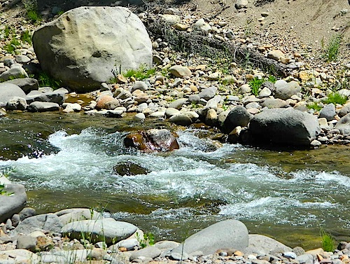
Due the nature of gravity, erosion and heavy rocks, creek beds tend to be rocky ravines near mountains – which collect rocks as they slide downhill. Creeks work as water drainage off the mountains. Inside California we have plenty of mountain ranges and plenty of movement, as the Pacific plate plows into North America, tectonically speaking.

How many Rock Creeks are inside the golden state of California? Heck, I dunno. Let’s try to find them all.

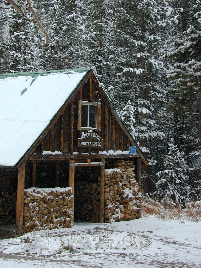
winterlodge

Probably the best known, is the one near Mammoth Lakes, CA

Eastern Sierra

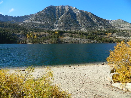
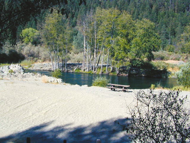
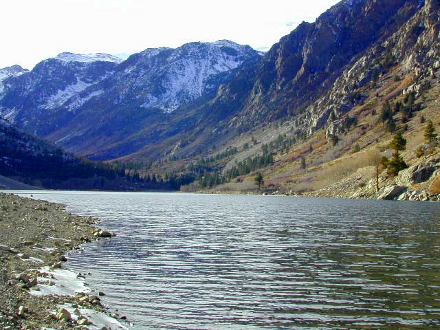
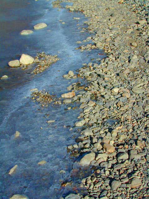
Small Beach at Rock Creek Lake

Rock Creek @ Mammoth

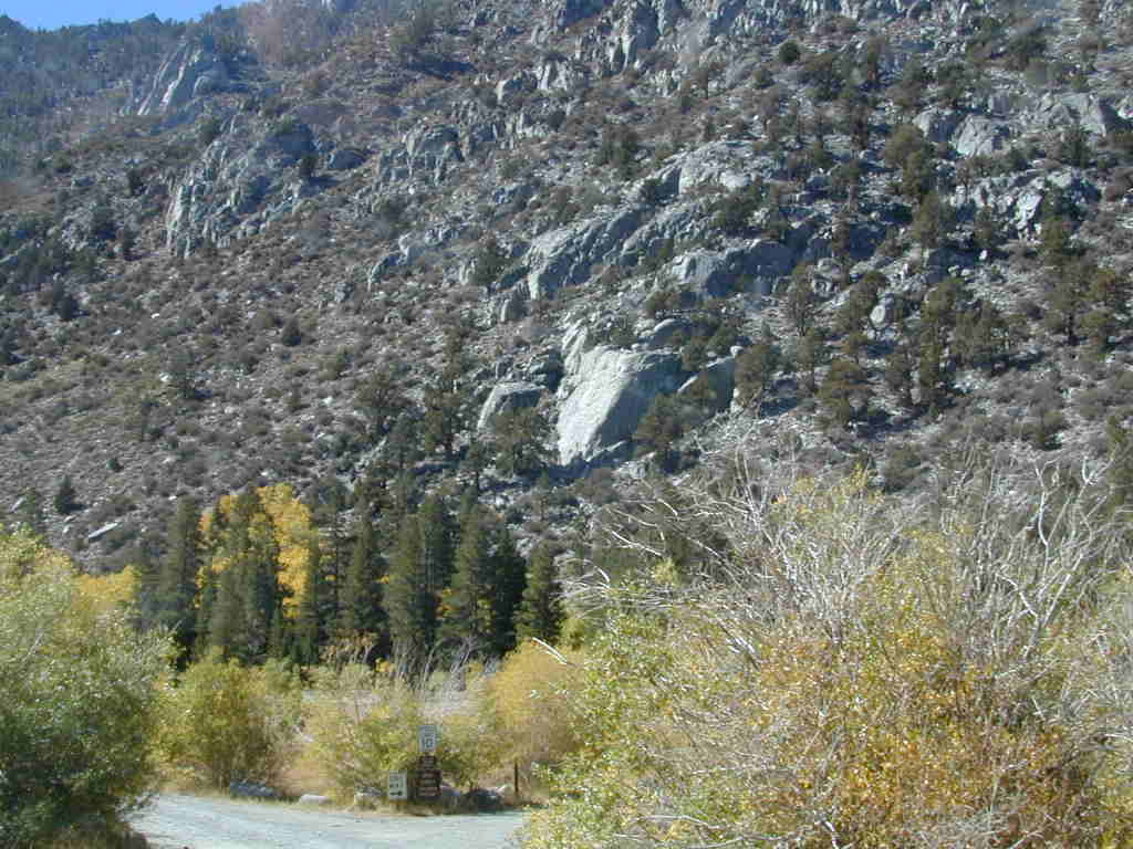
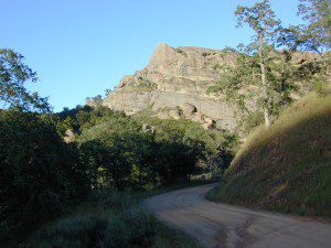
Rock Creek Road, Eastern Sierra
Inyo National Forest
Road #4S12
ROCK CREEK LAKE
NFS CAMPGROUND (9600′ elev w/ 66 sites)
GROUP CAMPGROUND (reservations required)
RESORTS
CABIN RENTALS
Road #6S05
WILDERNESS TRAILHEADS – Mosquito Flat, Little Lakes Valley Trailhead, Mono Pass, Morgan Pass, John Muir Trail (JMT), Pacific Crest Trail (PCT)

US395

US 395 @ Rock Creek exit is Toms Place, CA
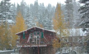
rockcreeklakeresort

fallflames
Eastern Sierra Rock Creek Rd
ruggedwalls
Rock Creek Canyon, Eastern Sierra

driftwood

Northern Sierra

camp

Plumas National Forest – west of QUINCY, CA
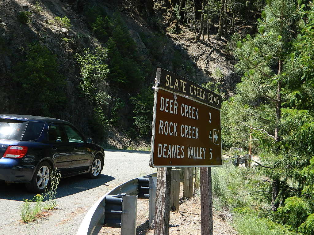
Dirt road campground

NFS Rock Creek Campground @ Plumas, located on a dirt road #24N28, off of paved Bucks Lake Road

NFSlogo

DIRT ROADS
MEADOW
CREEK

nearby WILDFIRE BURN SCAR

hiker

Feather River Canyon

Rock Creek, Highway 70
North fork Feather River

Large feeder creek from the north side of highway (California SR 70), in Plumas National Forest. Located in the popular railroad canyon known as the Feather River Canyon. Right here Rock Creek even has a reservoir.

Sugar Loaf Mountain elev 3553′ with Tobin Ridge line each side of Rock Creek as it descends the mountain tops. The junction where the creek meets the big river is just south of Bucks Creek Power Station @ STORRIE, CA. The overall location is half way in between OROVILLE, CA and QUINCY, CA

driftwood

Western Sierra

Off Road Gold Country, Sierra foothills

Rock Creek, Western Sierra4x4
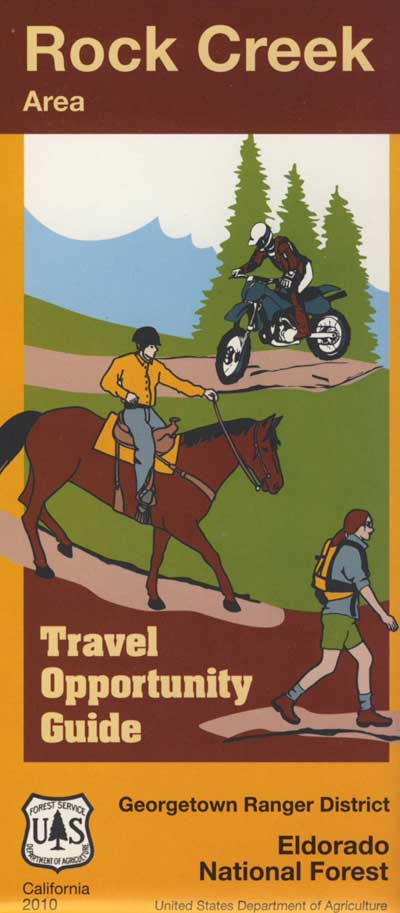
Eldorado National Forest
HIKING & HORSEBACK
OHV TRAILS
4×4 CAMPS
Georgetown, CA
RUBICON TRAIL @ LOON LAKE

RockCreekOHV


driftwood

Southern Sierra

How can we forget creek camping & trail access south of Shaver?
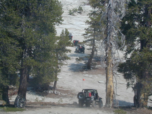
bald mtn
Jeepers on granite @ Bald Mountain, above Shaver Lake, CA

Shaver Lake, Sierra National Forest

Rock Creek Road, Southern Sierra
Dinkey Creek Area
Sierra National Forest
PRIMITIVE, DISPERSED CAMPING
4×4 TRAILS
BALD MOUNTAIN elev 7832′
DINKEY DOME elev 7697′
DUSY IRSHIM TRAIL
Shaver Lake, CA

driftwood

But wait, we have more California Campgrounds named Rock Creek

camp

Mammoth Reservoir
Mammoth Pool Reservoir

Rock Creek Campground – Mammoth Pool Reservoir, south of Yosemite National Park, behind Bass Lake, CA Sierra National Forest (18 camp sites)

Rock Creek Campground – US Hwy 101 NorCal Redwood forests, north of Leggett, CA. Camp located on the Eel River, in the Standish Hickey State Recreation Area. (36 camp sites)

Also the is a small ROCK LAKE located inside Lakes Basin Recreation Area, northern Gold Country @ Yuba River headwaters. Hike-in access only.

Rock Front OHV

Similarly named ROCK FRONT RANCH is 4×4 trails & 4WD camping area. Cool wind caves, super steep driving terrain (Granny low anyone?) and of course, wildflowers.

Los Padres National Forest 

Off Highway 166, east of the city of Santa Maria & US 101 – on the Central Coast of California. Way back there, at the edge of the forest, behind the wineries!
Rock Front Los Padres
Rock Front Ranch in Los Padres NF

dirtbikes


California Aspens

AspenGroves

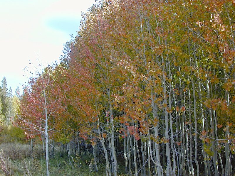
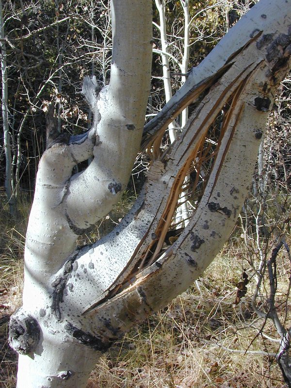
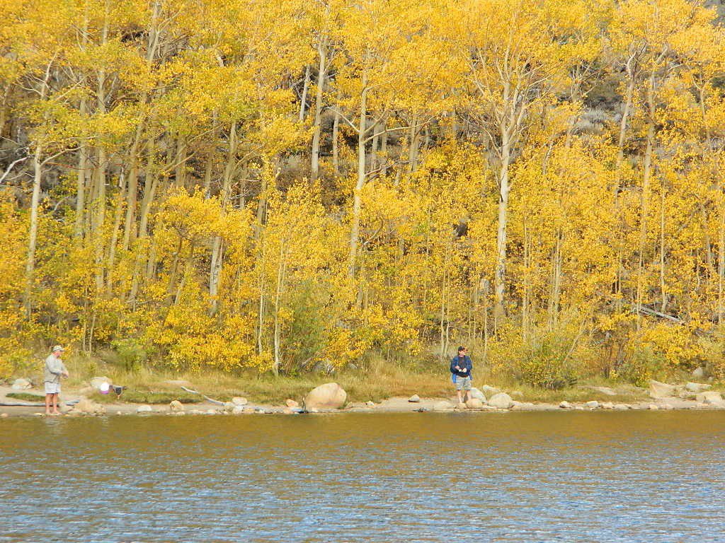
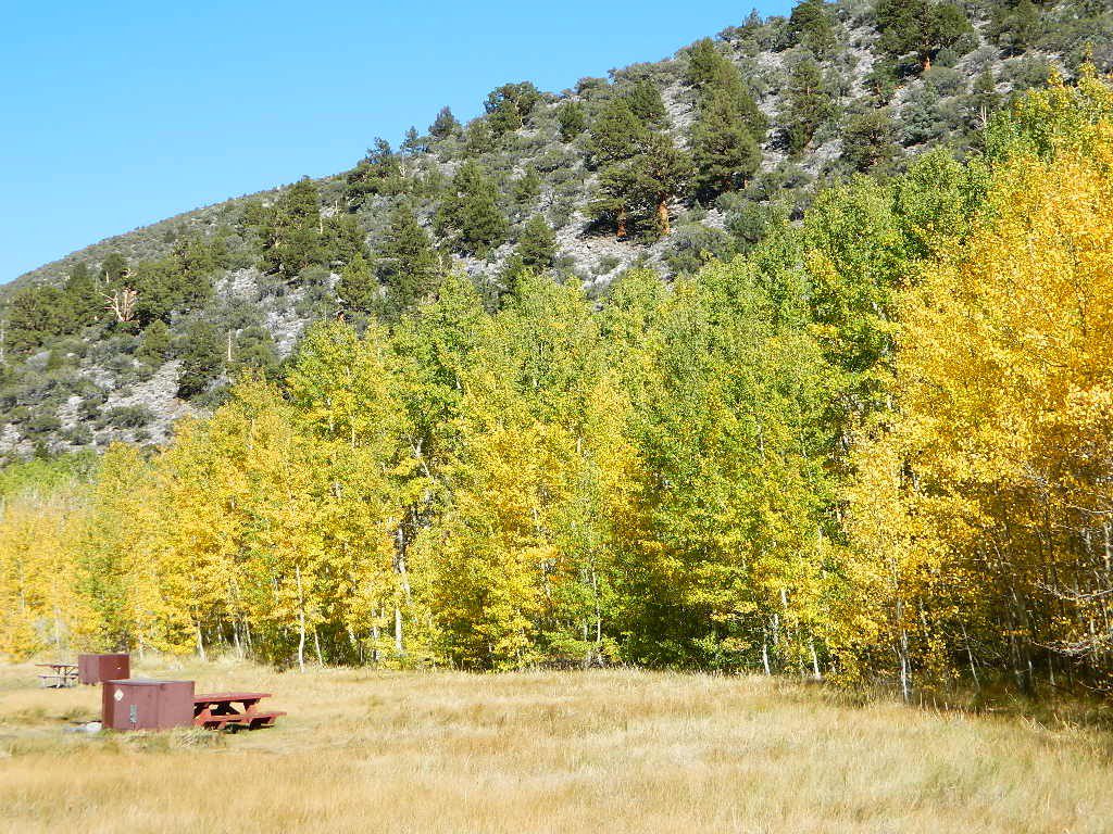
Aspen Groves are easy to recognize with their thick stands. White trunks with dark knots, slender, with oval shaped leaves. Growing in a network of roots, which are found lining creeks, alpine lakes, or spilling out from higher elevations, along  scenic canyons.

The unique round leaves which can turn spectacular colors in the fall season. The fluttering and flapping of the oval-shaped, thick, green leaf is a sure sign of summer. When breezes get cooler, Autumn is only a few weeks away and as quick as the cold comes in, what a short and special show they put on.

autumncabin
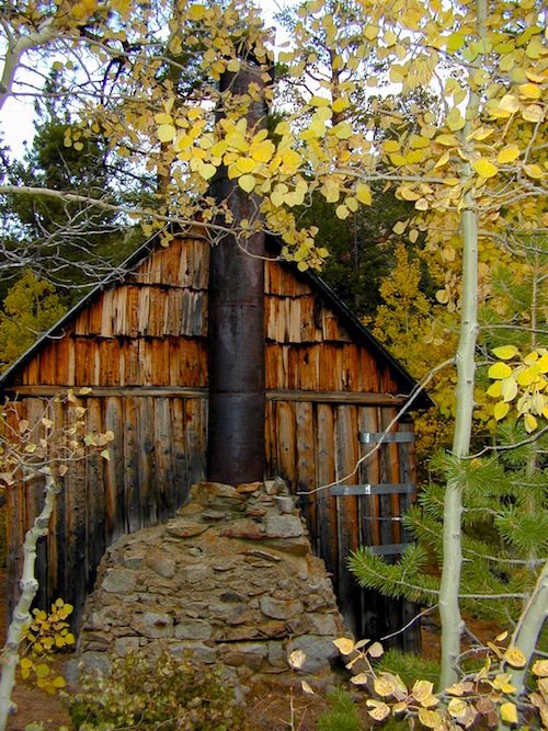
Green Creek historic cabin, on the Eastern Sierra

California Fall Colors

Aspen trees can be found at higher mountain elevations in California, usually above 4000′ – all the way up to about 10,000′ or higher, depending on the mountain range and local water flows. Groves have an extensive root systems underground, so they often withstand wildfires and can come back after the rest of the forest is gone.

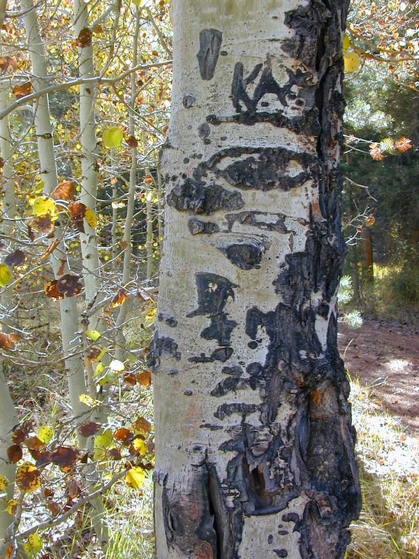
Beavers build dams in creeks around aspen trees, fishermen and campers love to camp next to aspens, and lovers carve their initials into their white bark. These trees do indeed take a beating, from all angles, winter weather included… so stop from cutting them!

carvings

fishing creeks mountain biking stargaze Picnic Camp Hiking horseback back roads mountains

  • BIKE
  • CAMP
  • FISH
  • HIKE
  • KAYAK
  • PICNIC

summer and autumn

These deciduous trees are naked half the year, typically from November to April, as winter buries them in snow and ice. Time is of the essence, limited to Summer and Autumn – to enjoy their shade and the beauty of the groves. Scenic meadows and fishing creeks are just an added bonus for searching out the aspen.

Aspens can be found in hidden canyons, primarily along the Eastern Sierra US Hwy 395 and surrounding mountain lakes. Some Sierra Passes have decent displays of color as well – like Carson Pass Hwy 88 and Yosemite’s Tioga Pass Hwy 120.

Below is a list of Total Escape’s favorite aspen areas of California

ASPENDELL
BAKER CREEK (4×4)
BIG PINE CANYON – NORTH FORK TRAIL

BISHOP CREEK
BLUE LAKES, CARSON PASS
BLUE LAKE, MODOC

CONVICT LAKE, US 395
COTTONWOOD CREEK @ ANCIENT BRISTLECONES
COYOTE FLAT (4×4)

CROCKER @ LAKE DAVIS
CROWLEY LAKE, US 395

DUNDERBERG MEADOW

EAGLE LAKE @
ASPEN GROVE CAMPGROUND

GREEN CREEK ROAD, US 395
HASKINS VALLEY @ BUCKS LAKE
HILTON CREEK, US 395
HOPE VALLEY
JUNE LAKE LOOP

LAKE SABRINA
LAKE TAHOE
LAUREL LAKES ROAD, US 395
LEE VINING CANYON
LUNDY LAKE, US 395

MAMMOTH LAKES, US 395

MCCLOUD CREEK @ ALGOMA
MCGEE CREEK, US 395

MILL CREEK to MINERAL, CA
HWY 172 LOOP aspensofmineral1000

MODOC NF @ BLUE LAKE
NORTH LAKE, ASPENDELL @ BISHOP

ONION VALLEY @ INDEPENDENCE
PARKER LAKE RD @ JUNE LAKE LOOP
PINE CREEK ROAD, BISHOP

PLUMAS-EUREKA STATE PARK
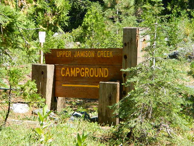
@ UPPER JAMISON CREEK CAMPGROUND

PLUMAS EUREKA

QUAKING ASPEN CAMP, GIANT SEQUOIA

RED’S MEADOW, MAMMOTH
ROCK CREEK ROAD @ US HWY 395

ROSS CAMPGROUND, PLUMAS NF

SPALDING, CA @ EAGLE LAKE

TOM’S PLACE, US 395
TWIN LAKES @ BRIDGEPORT
VIRGINIA LAKES, US 395

WISHON RESERVOIR

aspentips
Aspen Tips @ Eagle Lake California


aspenwall
Green Creek Camping

Autumn Camping in California


amigoaspens
Laurel Lake Road @ 9000′ – Eastern Sierra, California


aspensplit

Apple Butter Festival

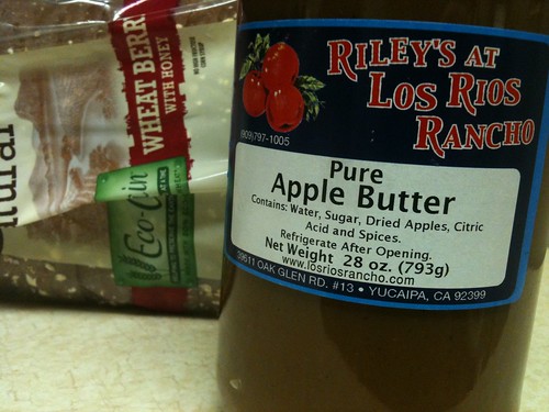
Loving this Apple Butter from Los Rios in Oak Glen CA - Happy Apple Month!

Oak Glen Apple Butter Festival

Yucaipa’s hidden secret – rural area of OAK GLEN, is a apple orchard canyon near the Inland Empire.

After the harvest is finished and the apples have all been picked from the trees – celebrate the coming winter with a historic festival that traces its roots back to the 16th century.

  • Public Apple Butter Making
  • Harvest Dinner and Dance
  • Historic Crafts
  • Children’s Games
  • Live Music
  • Wagon Rides
  • Merchant Vendors
  • Water Color Painting Class

Los Rios Ranch holds the annual Apple Butter Festival & Apple Butter Hoedown on Thanksgiving weekend.

Annual event: November

losriosrancho.com

Lodi Street Faire

Sliver Budda

Lodi Street Fair, Central Valley California

This event is held twice a year & sponsored by the local Chamber of Commerce. Held in Downtown Lodi, this is a one-day event focusing on food and vendors.

The Street Faire takes up a 14-square block area of Lodi. Over 500 vendors participate in this bi-annual event, selling antiques, arts & crafts and commercial items.

While shopping, visitors can satisfy their appetite with their choice from 25 food vendors offering everything from hamburgers, to hot dogs, sausages, to pizza. Mexican, Chinese and Filipino dishes are also available for those craving a more international fare. And, no faire is complete without sweet treats and cold drinks.

Bi-annual event; May & October
209-367-7840

LODI, CA

lodichamber.com/lodi-street-faire


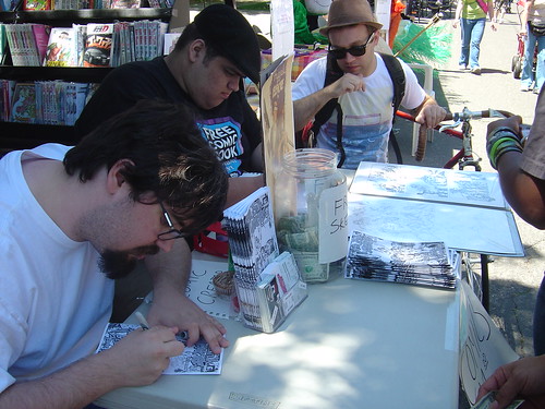
Adam Messinger & Ramon Villalobos @ The Lodi Street Faire

Lodi Street Faire 2013

Paso Robles Pioneer Day

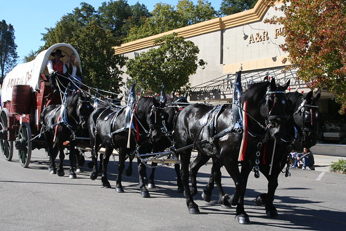
Percherons

Pioneer Day of Paso Robles

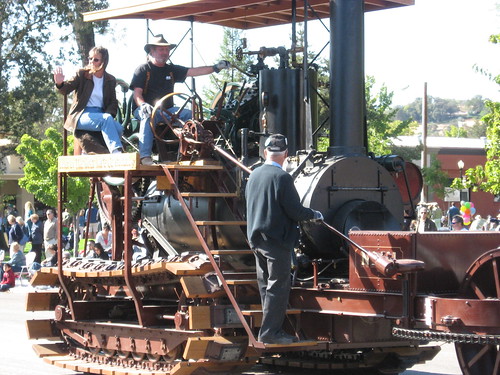
One day event. Paso Robles Pioneer Day was established in 1931, providing a day of community friendship and a commemoration of the heritage of the north county San Luis Obispo area.

Annual Event: October
805-238-2038

Paso Robles California

pasoroblespioneerday.org


Paso Robles Pioneer Day

Paso Robles Pioneer Day

Paso Robles Pioneer Day

Scarecrow Competition

2014 Big Bear Lake Village Scarecrow Festival winners

California Scarecrow Competition
Scarecrow & Pumpkin Fests

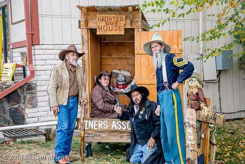
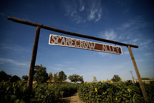
Sonoma 4H club may have started this event in the wine country town of Cloverdale, but now there are numerous locations holding scare crow related autumn festivals and contests. An amazing amount in fact!

Cannot find the Cloverdale event? Neither can we, so we’ve searched high and low to locate many more – all inside California. Go support the locals and enjoy a fun day of Scarecrows, food, music, games, arts and craft sales.

Annual event; October

Aptos, CA
Scarecrow Contest – aptoschamber.com/event

Arroyo Grande, CA
Harvest Festival – agharvestfestival.com

Auburn, CA
Harvest Festival – auburnrec.com

Benicia, CA
Scarecrow Contest- beniciamainstreet.org

Big Bear Lake, CA
Big Bear Village Scarecrow Festival –
bigbear.com

Cambria, CA
Scarecrow Festival – cambriascarecrows.com

Cost Mesa, CA
Scarecrow Festival – costamesaca.gov/scarecrow

Fallbrook, CA
Harvest Faire & Scarecrow Days fallbrookchamberofcommerce.org

Ripon, CA
Scarecrow Fest – riponchamber.org/scarecrow-fest

Ukiah, CA
Country PumpkinFest – facebook.com/UkiahCountryPumpkinFest

Valley Center, CA
Pumpkin Festival Craft Fair – batesnutfarm.biz

Winsor, CA
Pumpkin Jamboree – windsorfarmersmarket.com/calendar

Winters, CA
Scarecrow Fest – winterschamber.com/chamber-calendar

LOMBARDI RANCH

LOMBARDI RANCH

California Camping River

map river | hiking river | map gorge

California Rivers & River Topo Maps

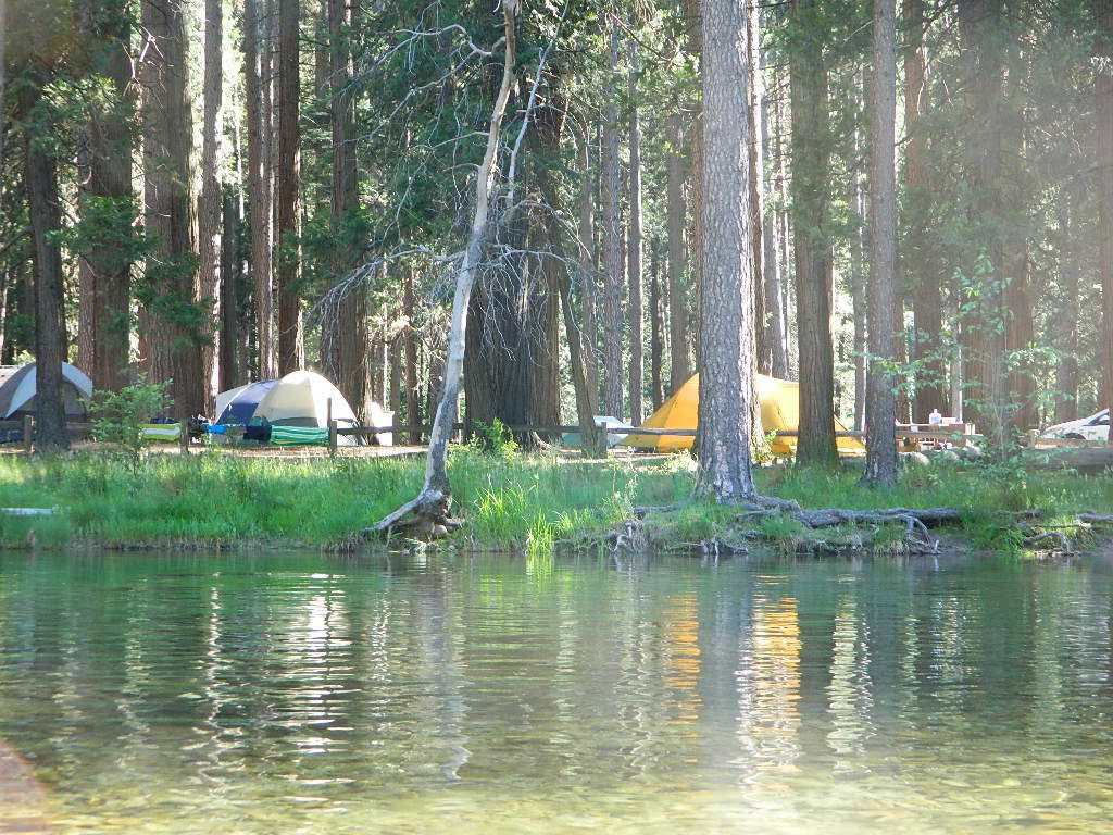
Tent Camp Yosemite Valley

There are many gorgeous rivers in California that are perfect for camping and fishing, but none are located in Southern California. None! Yep, you read that right. If you think about it, the golden state is about half desert! The majority of our natural water in our state is coming from the north – so take this as a warning: you might need to drive a few hours to find your ideal river camp.

The easy-to-access waterways are found mostly along highways in the Sierra Nevada – or way up in NorCal. Deep granite gorges carved out by glaciers, surrounded by forested peaks is only half the appeal. High elevation lakes, waterfalls, big trees, abundant wildlife, and the alpine villages are all part of the Sierra Nevada experience.  Raft, kayak, fly fish, hike, bike or just camp out next to a big, rushing, flowing river. Our selection of California maps will get you narrowed down to a specific region, so you can find that perfect river campground, or explore and discover the back roads – for the most seclusion.

NorCal Rivers:

Burney Falls
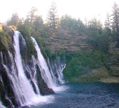
Burney Falls, is part of the Pit River

EEL RIVER
KLAMATH RIVER
Klamath NF Map
MAD RIVER – NFS Campground
MATTOLE RIVER
McCLOUD RIVER

NAPA RIVER
NAVARRO RIVER
NEW RIVER
NOYO RIVER
PIT RIVER
RUSSIAN RIVER
SACRAMENTO RIVER CAMPING
SALMON RIVER
6 RIVERS NATIONAL FOREST MAP
SMITH RIVER
TRINITY RIVER
VAN DUZEN RIVER

MiddleForkFeather
Middle Fork of Feather River, Berry Creek, CA

Sierra Nevada Rivers:

AMERICAN RIVER
AMERICAN RIVER – El Dorado NF Map
CONSUMNES RIVER – Stanislaus NF Map

FEATHER RIVER
FEATHER RIVER Recreation Map
FEATHER RIVER – Plumas NF Map

Kern River Hot Tub
Kern River Hot Tub

KAWEAH RIVER – Sequoia
KERN RIVER CAMPING
KERN RIVER – Sequoia
KINGS RIVER California
KINGS RIVER CAMPING
KINGS RIVER – Sequoia Kings Canyon Map
KINGS CANYON NP
MERCED RIVER – Sierra
MERCED RIVER – Yosemite Map
MOKELUMNE RIVER – El Dorado NF Map
OWENS RIVER – Inyo NF Map
SAN JOAQUIN RIVER – Sierra
SOUTH YUBA RIVER Recreation Map
STANISLAUS RIVER – Sonora Pass
STANISLAUS RIVER – Stanislaus NF Map
SUSAN RIVER – Lassen
TULE RIVER – Sequoia

YUBA RIVER – North Gold Country
YUBA RIVER – Tahoe NF Map

Central Coast Rivers:

BIG SUR RIVER
SALINAS RIVER

SoCal Rivers:

COLORADO RIVER CAMPING
Colorado River Jet Ski
LAKE HAVASU
LAKE MEAD (NV) Recreation Map
LAKE MOHAVE

SANTA YNEZ RIVER @ Lake Cachuma – Santa Barbara Mountains
SESPE RIVER – more creek than river, Los Padres NF & SESPE WILDERNESS

Colorado River California


LOCAL TIPS
River Destinations in California

califrepublic

calmrivers
Lower Kern River – Calm but Dangerous

KERN RIVER: The Kern River is one of the most popular of all the Sierra rivers due to its proximity to SoCal. Hurried, stressed-out, Angelinos (LA) can be at this destination in under 3 hours – which makes it a very busy place most months.

So, let it be told, that summer is not the best time to enjoy the Kern. If you do plan a summer outting, make sure you head for the Upper Kern (10+ mi N of Kernville & Lake Isabella) or the North Fork of the Kern (out in Monache Meadows) where 4×4 is often needed.

The Lower Kern River has only 2 developed campgrounds: Hobo (closed for damage 2019) and Sandy Flat (open all year). Numerous primitive camp spots are available along Old Kern Canyon Rd, which parallels the Hwy 178 on the south side. None of which are located at the rivers edges. Remington Hot Springs is a popular spot for soaking. Fishing trails, mountain biking trails and hiking trails, all over. Fire danger is great in this area, so pay extra close attention to signs and fire restrictions.

Kern River above Lake Isabella and Kernville is a better choice for camping availability.

Beer at River

YOSEMITE RIVER: Yosemite National Park –
Merced River & Tuolumne River

NPSEverybody loves Yosemite! This is the most popular park in the whole state; maybe the whole nation.

The majority of campers want to stay “right on the river” when they visit Yosemite NP, but that is just plain old impossible, since reservations go fast and there is only so much room for everyone in this enclosed, narrow, precious valley.

This particular park has some major floods (1997 & 2005) that wiped out bridges, road ways; all the old wooden cabins (at Yosemite Lodge) are gone and only half of the campgrounds are still available. Yosemite has had 11 winter floods since 1916 that have caused substantial damage to property. That number is expected to increase, as winter precipitation is getting less predictable.

Reservations are taken for camping and cabins – far in advance; like one year. No joke!

3 Yosemite Campgrounds are located next to the Merced River (inside spectacular Yosemite Valley)

hikehike

Way up in the Yosemite high country, which is only open a few months outta the year, the beautiful Tuolumne Meadows Campground is located next to lush meadows and the scenic Tuolumne River. All Yosemite campsites must be reserved well in advance, so visit links above – if you are serious about a Yosemite camping trip anytime soon.

check

Mokelumne

MOKELUMNE RIVER: Way up the road, deep in the western Sierra, Gold Country. Small NFS campgrounds, right on the river; Access is long, narrow paved, switch-back road, not suitable for RVs or trailers.

STANISLAUS RIVER: The Sonora Pass, the fishing is very decent way back in this granite gorge. Highway 108 is only open a few months outta the year, due to deep snow & rock slides – so time is of the essence. Summer time is prime vacation weather up here. Several campgrounds are located right on the river, or on the major feeder streams. Or you can opt for secluded primitive camping on the back roads. Find Sonora camping in Stanislaus National Forest.

YUBA RIVER: The biggest play time river in the northern Gold Country, this runs along Hwy 49 near Downieville and also has a major South Fork for the best swimming holes and primitive camping in this region. Tubing, rafting, kayaking, fishing, camping, gold panning, you name it, Yuba has it. Look for more on the South Yuba Recreation Map, or the USDA issued Tahoe National Forest Map

FEATHER RIVER: Top fishing river in the Lassen to Oroville area. Chester and Lake Almanor in the upper reaches. High Bridge Campground is nice paved-camp-site camping; a forested spot where you can fish 2 rivers on the same day. A Plumas NF or Lassen NF map would be quite helpful for this region. Lower down the mountain, lower Feather Rivers which include all 4 forks which feed Lake Oroville – West Fork (Paradise, CA), North Fork, Middle Fork Feather, (Berry Creek, CA) and the South Fork (Lumpkin). Lots of waterways and creeks worth exploring in between Chico and the mountain town of Quincy.

KINGS RIVER: This one particular river is the longest in the Sierra Nevada mountain range, pulling snow melt from the upper reaches of the High Country and Mount Whitney. The river area just to the West of the National Park, over to Pine Flat Reservoir, is all prime for outdoor recreation. Several river rafting companies work this stretch of river.

CAMP FOUR & A HALF CABIN RENTAL
NFS KINGS RIVER
NFSrangers

hikehike

Kings River Rafters

River Beach Campground
Trinity River Camping, Douglas City, CA
riverrunsclear
Sierra Nevada Rivers are the dreams that Summers are made of.


Old Hometown Fair

Manhattan Beach 10K race,

Manhattan Beach 10k

Manhattan Beach Hometown Fair

MBFair

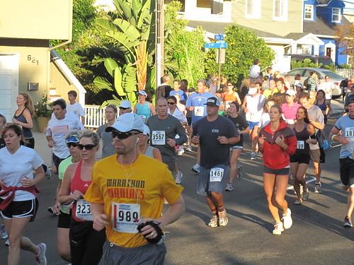
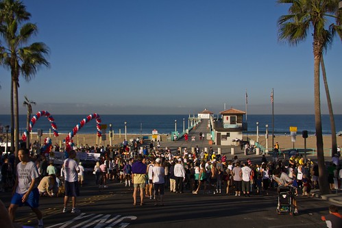
Manhattan Beach Fair is every October & a great day to go out to the beaches of Los Angles County. Weekend festivities begins with a 10k race and a parade. Music, vendor booths, art exhibits, food & wine/beer.

This Los Angles county beach destination has been doing this event for 45+ years! Since this is LA and parking is horrible, shuttles are available from Aviation Avenue.
Annual event; October

MANHATTAN BEACH CA

mbfair.org

mb10k.com

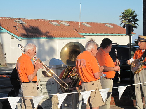
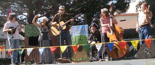
Hyperion Outfall Band

The Hollow Trees

Manhattan Beach Hometown 10k Run 2009

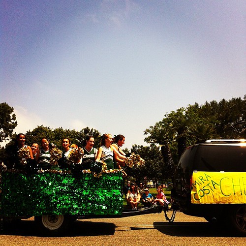
Hometown Cheer.

Oroville Salmon Festival

Lake Oroville

Lake Oroville Salmon Festival
Salmon Fest in O’ville

Feather River Fish Hatchery, Feather River Nature Center and Riverbend Park

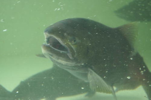
On the Feather River between Historic Downtown Oroville and the Fish Hatchery, the town bursts with fish-flavored activities during the annual Salmon Festival. Friday night starts @ Feather River Nature Center for dinner & dance. Saturday brings on the fun, food, music and vendors on Main Street. Lots of great local info – salmon recipes, water/drought, fishing and environmental issues.  Big pancake breakfast, a farmer’s market, live music, a craft fair, clowns, rides for the kids. Hatchery tours. The Bounty of Butte County will be located atop Myers Street, next to the Municipal Auditorium leading into Salmon Court. FREE to attend and tastes sold as desired. There will be food demonstrations, local food vendors, restaurant tastings and so much more.

Annual event; September
530-538-2542

Oroville, CA

salmonfestoroville.org

Oro Hatch

Oro Hatch - 14

Historic Downtown Oroville

Off-Road Expo

L.A. off road expo
L.A. off road expo

Off-Road Expo, Pomona

L.A. Off Road Expo

This one is a huge deal in the Los Angeles area. 4×4 extremes – in every direction. Tons of offroad industry vendors, displays, demos, and custom rigs and hot chicks in skimpy shirts for your viewing pleasure. Drool over every suspension, roll cage and locker. Lucas Oils is the big sponsor and this event is held annually, Family Events off road expo, summertime, air conditioning, in gorgeous Pomona.

Annual event: October

Pomona, near Los Angeles, California

offroadexpo.com

Blue Lake Modoc

Modoc Blue Lake
Blue Lake in Modoc National Forest
Hiking Lake
Hiking Lake w/ Loop Trail in far Northern California

Blue Lake
Modoc National Forest

When you really wanna get away from it all, take a week off and head up to Modoc – the top northeast corner of California, where the volcanic mountains line the Great Basin.  The population is minimal, cattle are abundant and the campers few. Even in mid summer, this ideal lake campground rarely fills up.

camp

Jess Valley Road leads east off US 395 @ Likely, CA – 16 miles back to this hidden gem.

Headwaters to the Pit River.

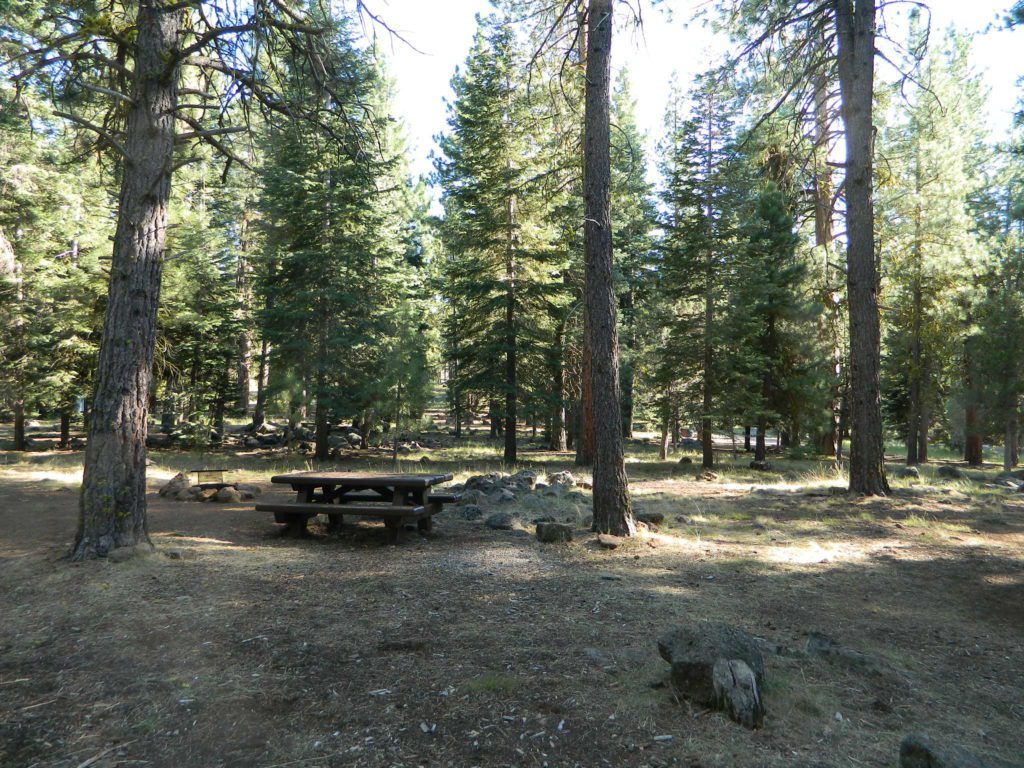
NFS Campground is shady, well managed, and spread out on the eastern slope w/ numerous paved loops. Tent campers, cross country cyclists, truck campers w/ canoes, SUV families, motorhomes with kayaks and kids.

modoc map
Modoc Map

Blue Lake Campground NFS
• Elevation: 6,050′
• Number of Sites: 48
• Vehicle Accessibility: 32′ RV
• Camp Fee: Yes
• Campsite Reservation: No
• Water: Piped
• Length of Stay: 14 Days
• Season: May –October
• Trailhead: Lake Loop
• Boat Ramp: Yes

Group Camp Facilities (by reservation only)
Modoc NF Warner Ranger District
@ 530-279-6116

Lava Blue Lake
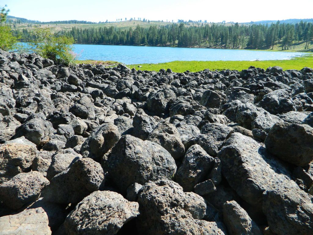
Lava Rock @ Blue Lake Loop, in Modoc County, CA

Blue Lake National Recreation Trail

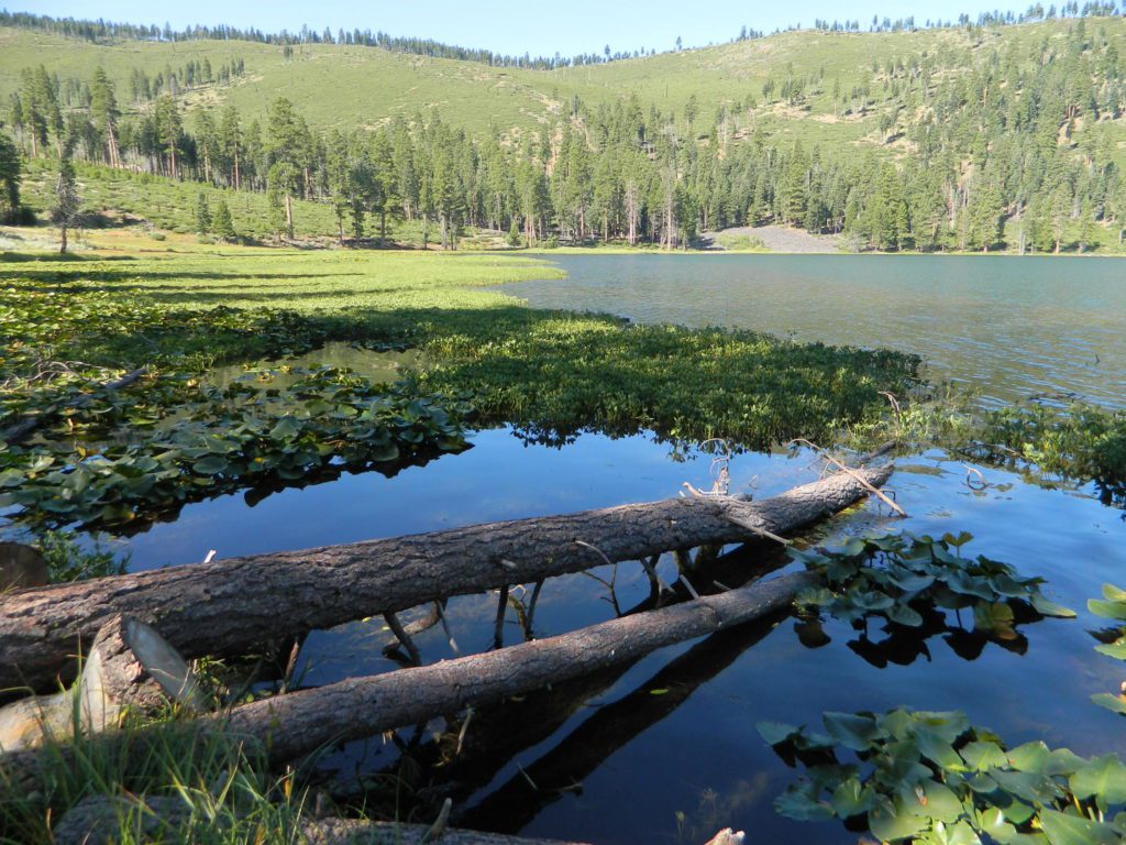
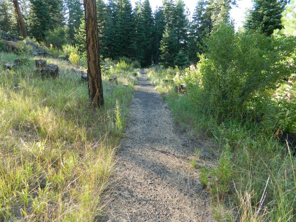
hikerRight next to camp: A pretty much perfect LAKE LOOP (1.5 mi) hiking trail is worth a serious stroll; footbridge, wildflowers, fishing spots, minimal hills, lava rocks, and awesome scenery. Plenty of wildlife can be seen, including butterflies and bald eagles. Trail is shaded by tall white fir and ponderosa pine trees. Trailhead is located at the Day Use parking lot, w/ paved boat ramp, dock, and picnic area.

stars canoe  fish

  • back roads
  • boating
  • camping
  • canoeing
  • fishing
  • hiking
  • kayaking
  • mountain biking
  • picnicking
  • swimming
  • stargazing
  • wildflowers
  • wildlife

Wild Blue Lake

NOTE: not every CAMPSITE has a LAKE VIEW

Certain campsites are adjacent to the lake; some are set facing a meadow (Autumn w/ aspen groves), or the alpine forest w/ deer grazing. Perhaps an inner circle (interior) campsite, for those who like to be close to bathrooms and piped water. Large families will love the abundance of camp settings and accommodations.

Paved Loop
Plenty of Vault Toilets
Piped Water
Recycles & Trash Service

Large Campsites
Large Campsites can accommodate Motorhomes
  • no paved camp stall
  • no hook-ups
  • no dump station
  • no cell phone signalcamptruck

popular lake camp for motorhomes

When driving a large RV back in here, be courteous of other campers. Nothing sucks more than driving a long distance to the boonies, to arrive at camp just before dark and annoying everyone else already there.

Those needing to drive the campground loops (more than twice) looking for the biggest, levelest, best camp site – and burning $10 in gasoline doing so, should consider walking in.RV

Park that beast (near boat ramp area, before the camp entrance). Get out and walk the hills and loops, BREATHE & relax – prior to a choosing camp site.

Unhitch any tow vehicles; use that to scout out your perfect spot, if you cannot hike it. Trailers and large motorhomes will find this place ideal, but getting the right camp, can make all the difference.

Trail around Campground

Paved Trail around Campground

The wildfire: BLUE FIRE burned this region in 2001, but it is lush and green again (2019). Northern California gets some real weather. Rain and snow, more than half the year. The campground closes annually due to snow.

Kayaking is best done in the morning, cuz wind picks up in the afternoon. Canoes can launch at boat ramp, or at shoreline from trails near campsite.

Hiking trails can be found all around lake and campground. Wilderness access can be found at South Warner trailheads within a short drive from the lake.

Cyclists also love this camp, as it is located near a major highway and is a perfect place to really relax, soak in the scenery and get some quiet-nights sleep.

Modoc National ForestNFSlogo
225 West 8th Street
Alturas, CA 96101
530-233-5811


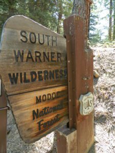
south warner sign

South Warner Wilderness is close by, driving distance; accessible by graded dirt roads. Signage is decent.

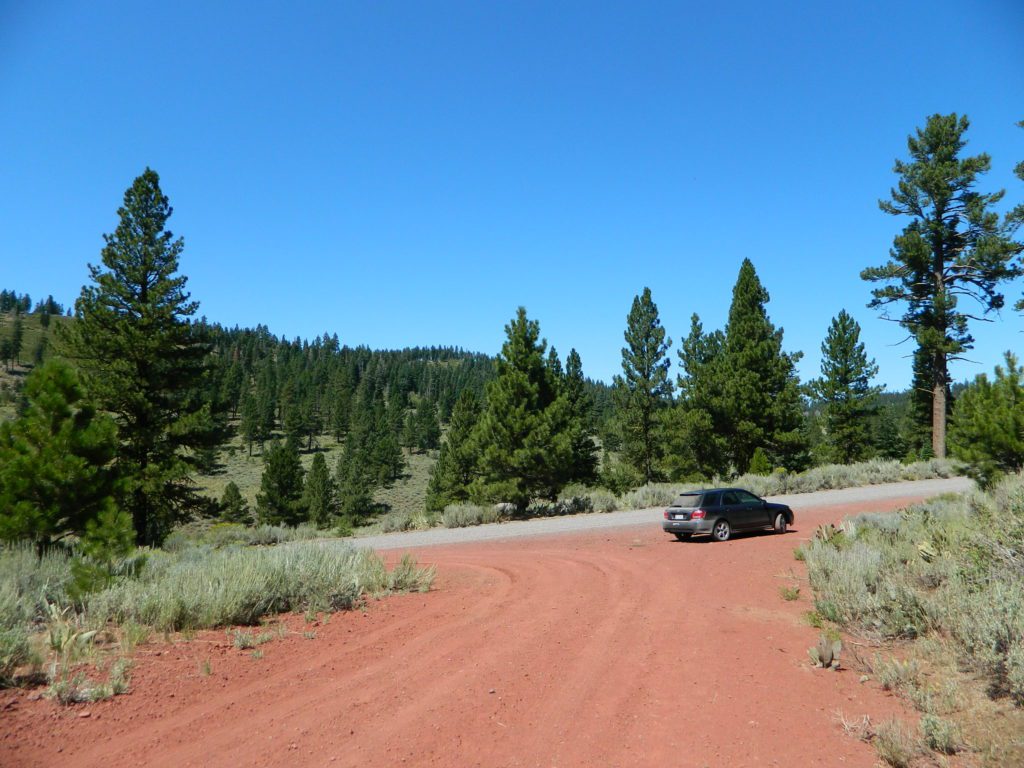
Modoc Forest Road #64 is a through-route, across the lower South Warners – 40
miles connecting to east side of the mountain, at Eagleville, CA.

Dirt Roads are suitable for trucks w/ trailers. SUVs and rugged passenger cars are okay. Motorhomes are not advised on this route.  Washboard conditions are typical. Winter closure on this route is common.

south warner mountains map

MODOC RD 64

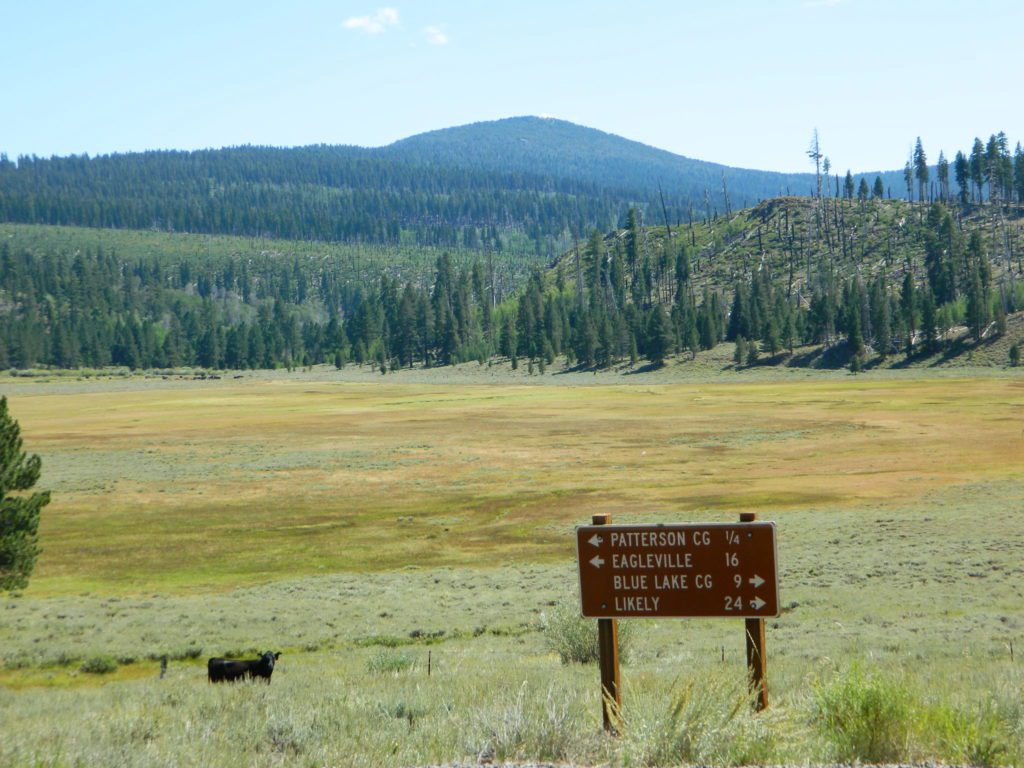
Several miles away from Blue Lake, 2 rustic trailhead campgrounds are located back this way – East Creek Campground & Patterson Campground. Less than 10 camp sites each, equipped  w/ horse stalls, vault toilets and maybe piped water. Trailhead parking for backpackers. No RVs!
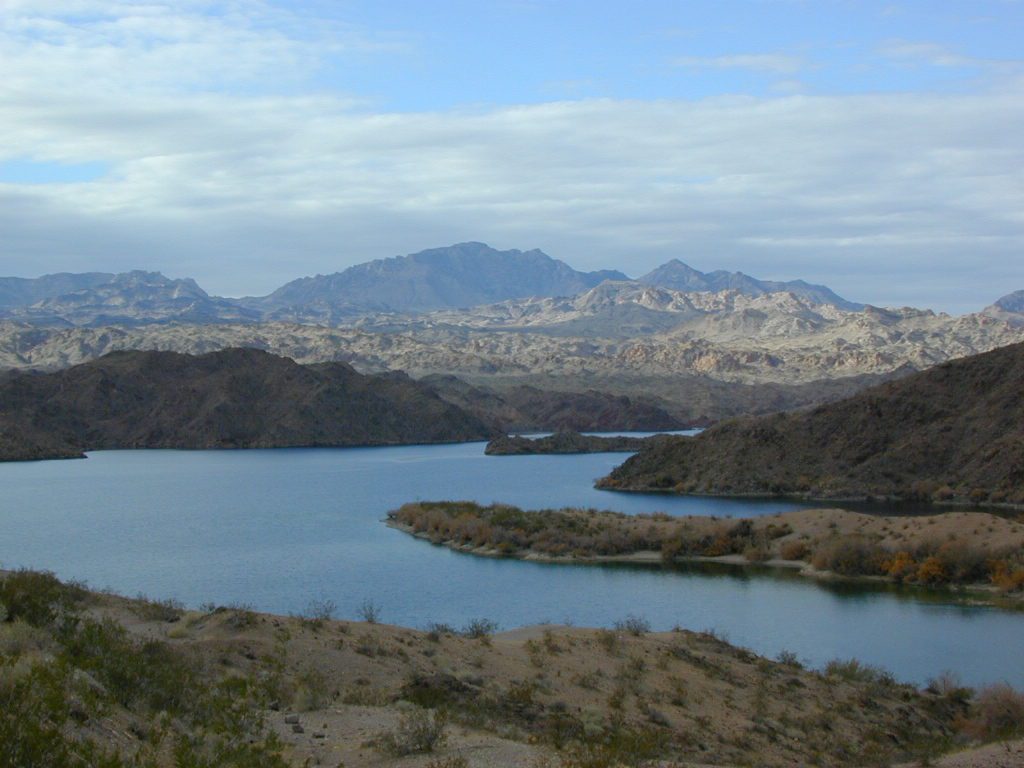
Autumn colors w/ aspen groves. Open, large meadows and mature forests w/ wildfire scars. Cattle can be found grazing all around, many cattle crossing.

Minimal primitive camping options, along road sides. Campfire permits required. No camping within one mile of a developed campground.

Cow Country
Modoc is Cow Country
Road64
Day Trippin – Out exploring Modoc Road 64 (and cutting firewood)

nearby towns –

see also –
Mill Creek Falls Campground

Camping for Thanksgiving

Turkey Casserole
Turkey Leftovers?

California Camping on Thanksgiving

If you’ve had it with the traditions, the big meal prep, or just sick of the family. Maybe you are a solo traveler, or a new transplant to California and need to explore more. Take a holiday away – for once this time.

Camping for turkey day? What a concept.

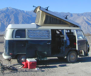
VWBus Death Valley
California is the perfect place for camping, all year long!
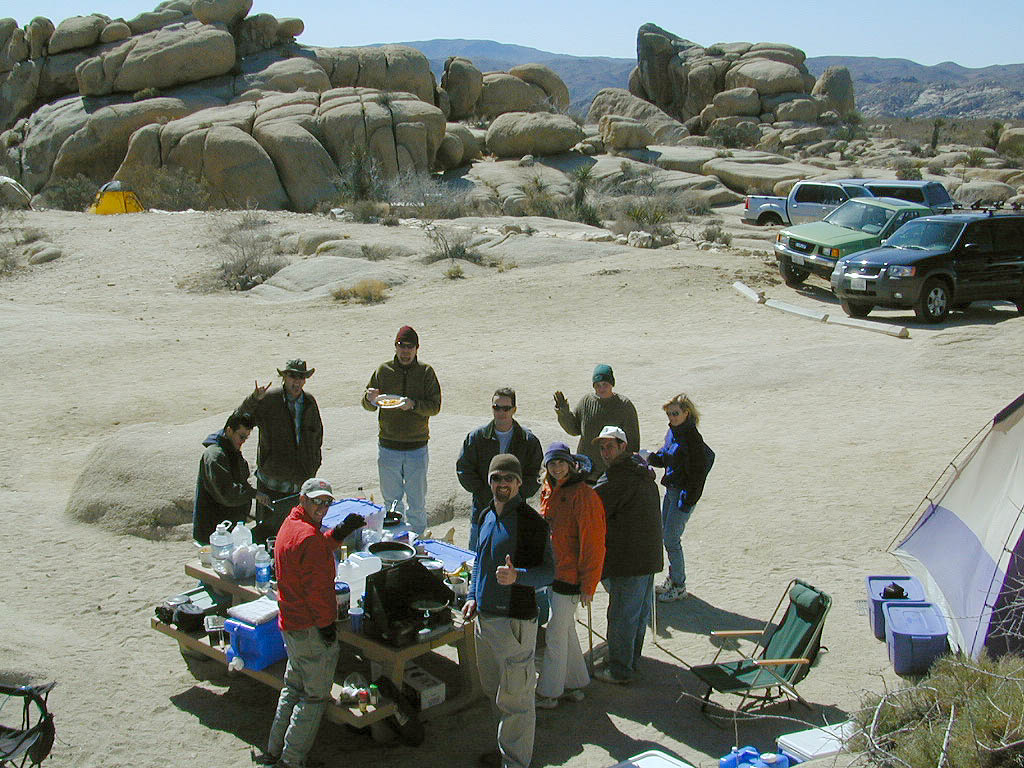
 

Stick to the lower elevations, look for canyons, and seek seclusion

California mountains often have snow during November. Avoid camping in snow @ 4000-5000′ elevation and above; Freezing temps above 3000-4000′ elevation.

Deserts, coastal regions and foothills are top choices for late Autumn car camping. Always check the weather ahead of departure, and have a plan B as an alternative. NorCal will be much wetter than the rest of the state.

MEALS: Prepare dinner meals ahead of trip departure. Bake turkey days before your trip and create meals based around that. Make mash potatoes at home and don’t forget to bring the butter. Pack pre-baked turkey for sandwiches, plus other quick snacks & meals for on-the-go travel.

seafood
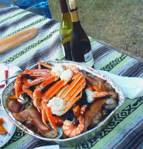
Non Traditional: Seafood Feast

Desert Camping is premium at this time of year. Luckily the eastern half of Southern Cal is desert. The lower the elevation, the better the temps will be overnight. Be prepared for wind when the ‘storm fronts’ approach, the winds do get a cranking! Dirt roads can become flowing washes during a good rainstorm, so know the weather forecast.

Coastal campgrounds may need advanced reservations. Be prepared for wet weather, especially up north. The redwoods groves are gorgeous anytime of year.

Gold County Reservoirs are prime areas for relaxing in nature, while everyone else is out shopping. Oak hills, rivers and canyons. RV campers love these large lakes; boating, fishing, mountain biking trails, kayak rentals, hiking near historic Gold Rush towns.

River Canyons of California are always beautiful destinations in the autumn months with fall leaves changing color. Many campgrounds can be found at lower elevation, river access areas.

California’s abundant Hot Springs are also top picks for holiday weekends.

Joshua Tree Campout

Joshua Tree National Park may be busy during this weekend. Instead try nearby Mecca: Box Canyon and Mecca Hills Wilderness, BLM desert lands near Interstate 10.

Anza Borrego Desert State Park is always a nice, easy and relatively close get-away for any holiday. Open camping on the backroads (for free) makes it one of the most attractive camping options in all of SoCal. Many dirt roads are accessible for passenger cars, if extreme caution is used. Don’t plan on driving more than a few miles on dirt.

froaders

Masses of off roaders love to camp out, especially on Thanksgiving weekend. Wheel all day, eat, drink, bon fires every night and rumor has it ‘they roast their big bird outdoors – deep in a dirt pit’. Really?

El Centro, Glamis, Imperial Dunes, Ocotillo Wells, Truckhaven Hills, Johnson Valley. All popular off roading areas in Southern California, so consider yourself warned.

Imperial Dunes

Mojave Desert, near US Hwy 395
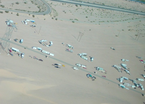
Jawbone Canyon expect to see RVs, toy-boxes and families outside enjoying the weekend. OHV style. Often the group tries to create a round corral with their huge convoy of vehicles, to keep thru traffic to a minimum around “their camp”. Just stay well away from those gear-heads. In general, it is a very busy area around Mojave up to Hwy 178 during the holidays. Try high desert Horse Canyon instead.

Bodie State Park
Bodie State Park

Tent Camping

Death Valley National Park is one of the best destinations for Thanksgiving, cuz Panamint Springs serves their free turkey dinner.

Did someone say FREE?

Leon at Mahogany

Monarch Butterfly Migration

Monarch

Monarch Butterflies, Pacific Grove

Monarch Butterfly Sanctuary

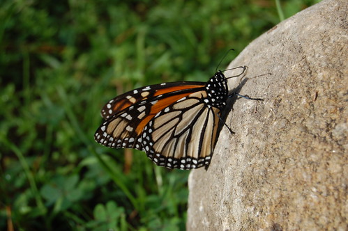
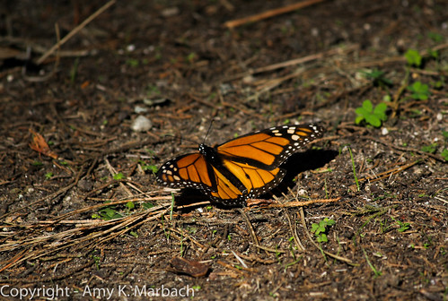
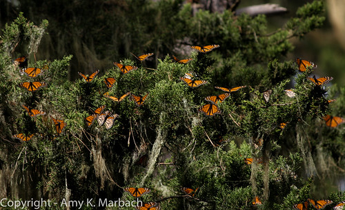
Each Autumn monarch butterflies invade the Pacific Grove region of California. A sanctuary has been established along this coastline.

Annual event: October
831-648-5716

Pacific Grove, CA

cityofpacificgrove.org/visiting/monarch-butterfly-sanctuary

Monarch Butterfly

Monarch Butterflies in a tree

Autumn Camping California

Autumn Lakeside

RV camping Tent Camp Fishing Hiking

Amazing autumn colors can be found through OCTOBER and NOVEMBER in California, but you’ll need to leave the city in order to find the very best colors and scenic beauty. Fall season happens quickly (within weeks) in the high country and slower (months) in the lowlands. Plenty canyons and parks in the urban centers have hiking trails thru some nice trees, but nothing compares to the backroads, creeks and rivers of the big mountains.

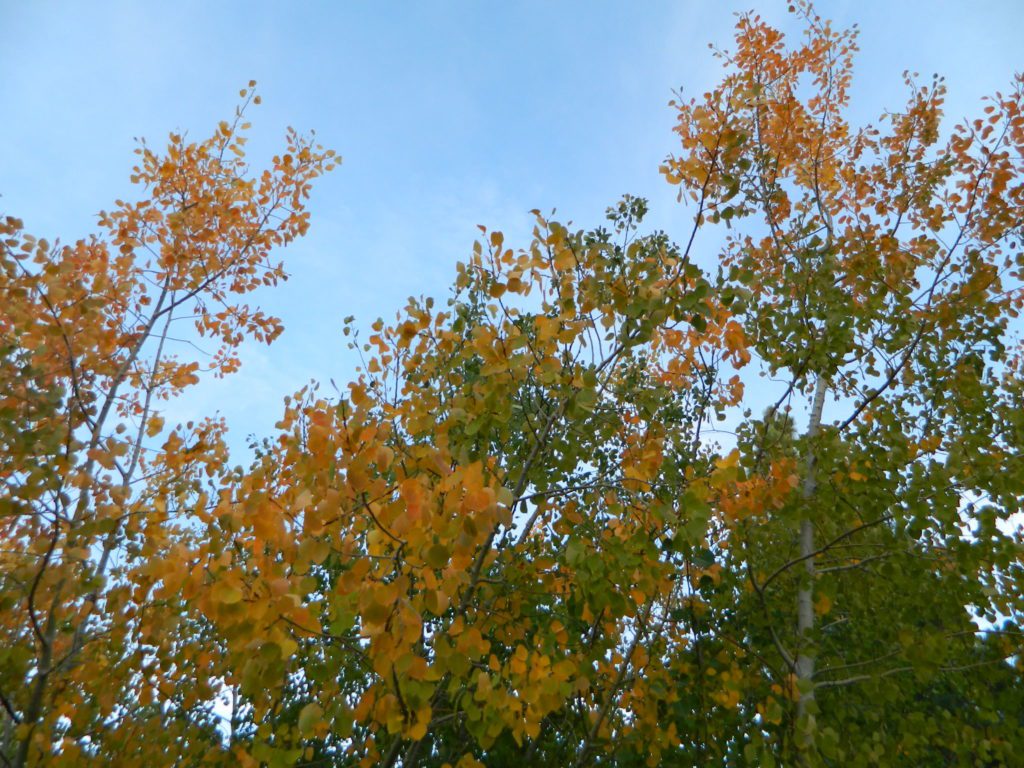
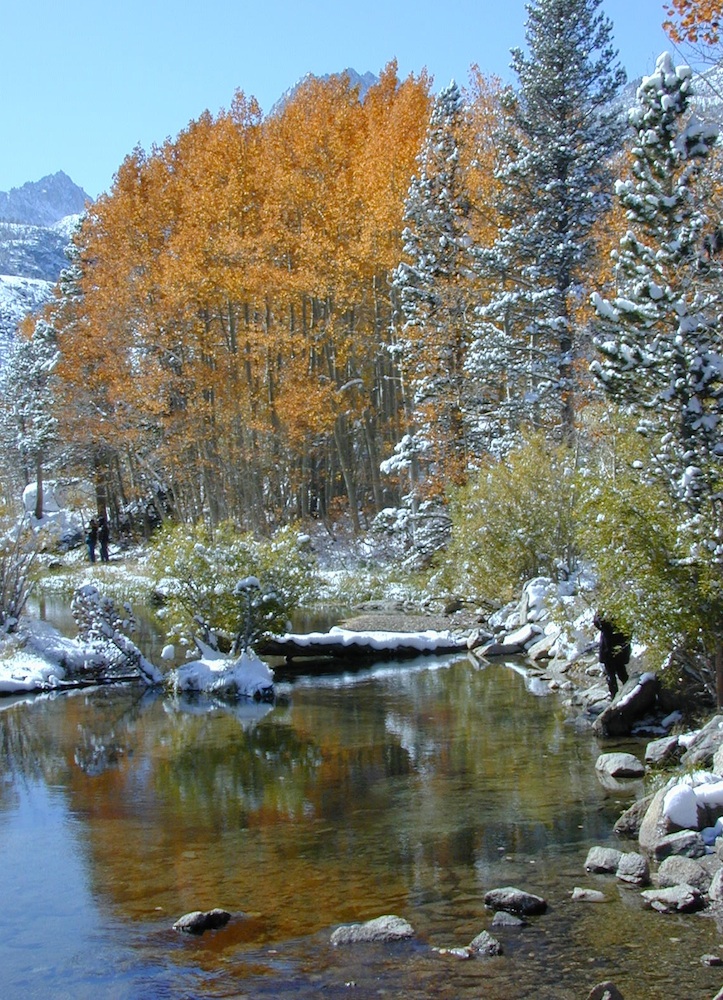
Elevations, the higher the better, is where you’ll find the real displays of color. Aspen groves can be found along mountain slopes, creek canyons from 5000′-10,000′ in elevation. Cottonwood trees are found in the drier regions, in ranching areas and in desert canyons – up to about 6000′ elevation. Aspen trees start to turn yellow as soon as the chill of nights drop; if the temperature shift is subtle, the aspen leaves become more orange as the days go into the fall season. If an early snow or freeze happens, just one night, the glorious foliage becomes dead brown crispies dangling in the wind.

campfire
CAMP FIRE RESTRICTIONS are still be in place from the dry summer, and now comes the autumn winds. Any decent amount of rain can change the fire burn status, so make sure to check with the rangers for up-to-date fire info.

Best Autumn Campgrounds in California  

Many of these campgrounds are located in or near aspen groves & are simply spectacular during the fall months. Some may be located near alder groves. Maple trees located along rivers turn golden between September and October. 

Higher elevation (7000′-9000′) colors will change faster and earlier in the year (as soon as September), whereas the lower countryside may wait until late October. 

Pack warmly, cuz the cooler temps at night (20-30 degrees) is what makes these awesome, little autumn leaves change colors. The change can happen very fast (in days). When the early season snows move in – usually a minimal dusting by October, fall colors can fade fast.

Southern California

Tent Camp

has minimal fall colors.

Big Bear Lake, CA
Lake Arrowhead, CA

Ojai Camping – Wheeler Gorge
Sespe Hot Springs (hike-in access only)

Camping

Southern and Central Sierra

have a few aspen groves and several cottonwood canyons.

Aspen Hollow Campground NFSNFSlogo
Giant Sequoia @ Hume Lake, CA
near Kings Canyon NP

Big Meadows Campground NFS
Stanislaus National Forest
Arnold, CA

Dinkey Creek Campground NFS
Sierra National Forest
Shaver Lake, CA

Kern River Canyon

Ponderosa, CA
Quaking Aspen Campground Tent Camp
Quaking Aspen CabinTent Camp
Giant Sequoia National Monumentcamp

Wishon Reservoir
Lily Pad Campground
Sierra National Forest

Yosemite National Park
Tuolumne Meadows, Hwy 120
Yosemite Valley Campgrounds

Kirkwood, CA
Blue Lakes Road
Carson Pass CA Highway 88

Camping

Northern Sierra

The North Sierra Nevada Mountains covers the region with Lake Tahoe and Donner Pass, and north Gold Country. River canyons with fall colors include American River, Yuba River, and the Feather River.

Aspen Group Campground
@ Jackson Meadows Reservoir
near Truckee, CA

Berry Creek, CA
Milsap Bar, Middle Fork of the Feather River

Bucks Lake, CA
Haskins Valley & Grizzly Creek Campground
Oro-Quincy Highway – Plumas NF

Downieville, CA
Yuba River Campgroundsshowers

Grover Hot Springs State Park  

Hope Valley, CA
Hope Valley Campground Tent Camp

Lake Tahoe

Camping

Autumn Bliss Hike

Eastern Sierra

The Eastern slopes of the Sierra Nevada is the ‘place to be’ for Autumn Colors in California. The dramatic desert meets the tallest granite peaks. Every canyon is a different scene, many lakes lined with aspen groves, some have a creek with aspens.

Aspendell, CA
North Lake Campground
Lake Sabrina Road
Bishop Pass (high country hikes)

sabrina creeking

Bishop, CA
Bishop Creek, Hwy 168
Ancient Bristlecone Pine Forest – both Silver Canyon and
Cottonwood Creek have aspen trees. (both are 4×4 roads)

Bridgeport, CA
Green Creek Road w/ signage for
Dunderburg Meadow
Twin Lakes
Hoover Wilderness (high country hikes)

Independence, CA
Onion Valley CampgroundTent Camp
Kearsarge Pass (high country hikes)

June Lake, CalifoniaTent Camp
June Lake Loop #1S63 / CA Highway 158

Lee Vining, CA
Lee Vining Canyon / Hwy 120
One of the biggest aspen grove canyons in the state of California.
NFS campgrounds
NFS Campgrounds in Lee Vining Canyon: Big Bend, Aspen Grove, Boulder, Moraine, and Cattleguard Campground.
NFS Camps @ Yosemite’s EAST GATE (9000′ elev): Ellery Lake, Junction, Saddlebag Lake, and Sawmill Campground.

Lundy Lake
Virginia Lakes
Trumbull CampgroundTent Camp

Lone Pine, CA
Alabama Hills has a few cottonwoods.
Whitney Portal has some alder trees and a few aspens.hiker

Mammoth Lakes, CA
Red’s Meadow Campground
Devils Postpile NM
Laurel Lakes Road (rough dirt road)
Convict Lake

Tom’s Place, CA
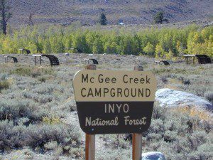
McGee Creek Campground Tent Camp

Rockcreek Road
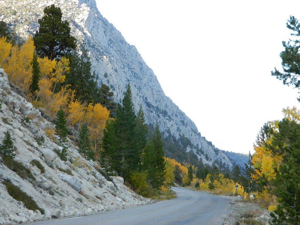
Impressive Rock Creek Road #4S12 in Rock Creek Canyon, one of the very best “Scenic Autumn Drives” in the whole Eastern Sierra. Numerous NFS Campgrounds on this road; many of which close for the season, just about the time then fall colors peak.

Rock Creek Lake Campground @ 9600′ elev Tent Camp

Iris Meadow Campground @ 8600′ elev

iris meadow
Iris Meadow on Rock Creek Rd

Camping

Northern California

The “North State” primarily has the big river canyons, most of which have fall colors. Eel River, Klamath, Yuba River, Feather Rivers.

Blue Lake Campground
South Warner Mountains
Modoc National Forest

South Warner Mountains
Road 64 Modoc NF

Eagle Lake
Aspen Grove Campground (walk-in camp sites)
Susanville, CA

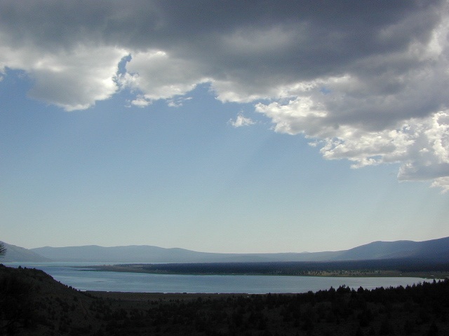
Large Eagle Lake, N of Susanville, CA

Sundial Bridge, over Sacramento River
River RV Parks
Redding, CA

Weaverville, CA

Mount Shasta, CA
(downtown of Mt. Shasta City)

McBride Springs Campground
(slopes of Mount Shasta)

Lake Siskiyou
Beach Camp Resort & RV Park

4239 W. A. Barr Rd
Mount Shasta CA
530 926-2610

McCloud, CA
McCloud Falls,  South of Mount Shasta

Algoma Campground
McCloud Creek, South of Mount Shasta

MacArthur-Burney Falls State Park
Dusty Campground

Lassen Volcanic National Park
Lassen National Forest
Lassen Camping
Lassen Lakes

Susanville, CA
Bizz Johnson Trail
Roxie Peconom Campground

Siskiyou Autumn Colors
(still to come)

eagle aspens
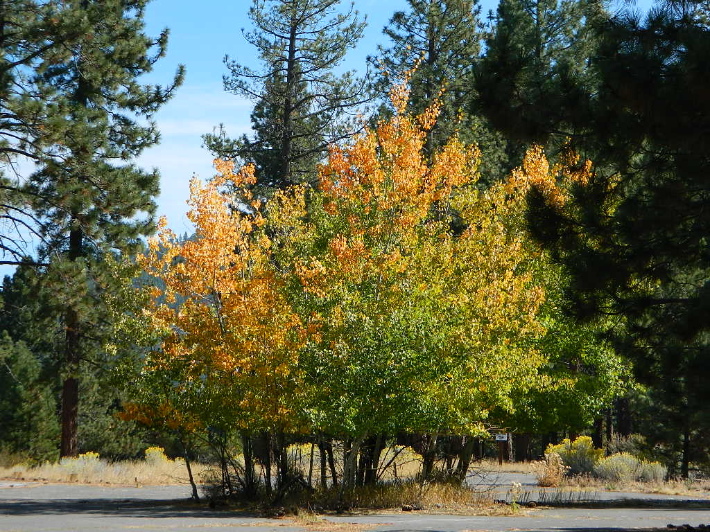
Paved over aspen groves @ South Eagle Lake, CA


White Tank Campground

White Tank @ Joshua Tree

quiet camp

Joshua Tree National Park
White Tank Campground

desert hikers and rock climbers
love this small camp

hiker

whitetank

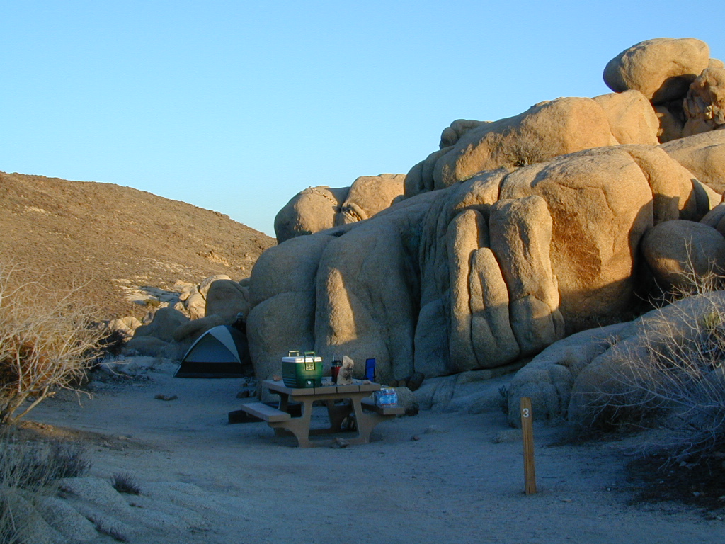
White Tank & Belle campgrounds are the smallest camps Joshua Tree National Park has to offer. On the east side of park both campgrounds are located half a mile from one another.

This Southern California desert lunar-scape National Park is more popular & crowded because of the proximity to major urban areas. The south east side of the park entrance station, Cottonwood, is the least busiest gate.

  • bouldering
  • camping
  • hiking
  • stargazingawesome rocks


From the town of 29 Palms (on Highway 162) take National Park entrance South on Gold Park Rd. At intersection with Loop Rd. (do not turn right) Go straight through onto El Dorado Mine Rd. about two miles drive leads the 2 campgrounds.

camp

Joshua Tree National Park
760-367-5500
760-367-7511

breakfastclub

campground  elev. spots  veg toilet water fee
White Tank  3800′ 15 josh vault none no

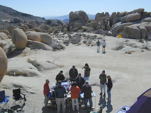
joshes

chair4marc
In the years between 2000-2005  founder of Total Escape, DanaMite, lead several guided camping trips to Joshua Tree and liked this specific area the best.

desert

danarocks

Lundy Lake California

Lunar Lundy Lake

Eastern Sierra
Lundy Lake

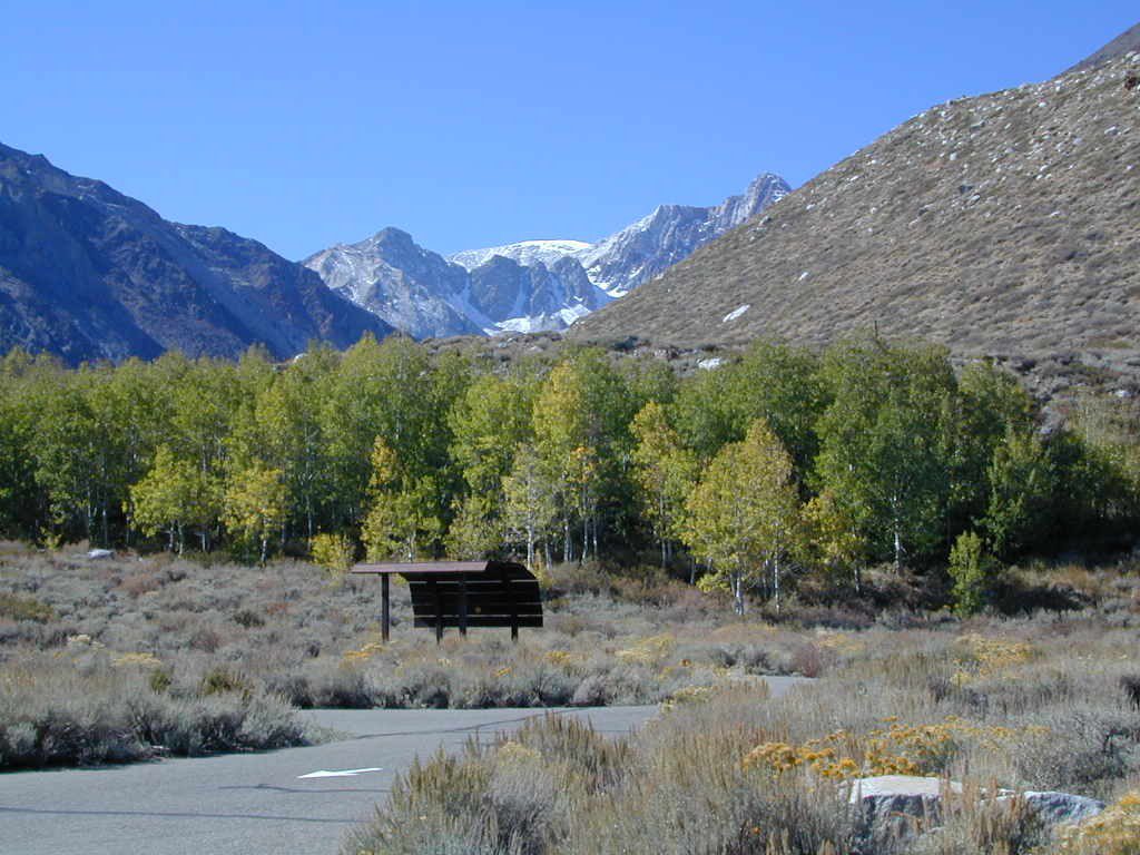
Lundy Canyon is located at the very northern boundaries of the Inyo National Forest, bordering the Humboldt Toiyabe National Forest & Virginia Lakes. Mill Creek flows down Lundy Canyon from the Sierra Nevada; Lundy is a small lake in a deep, rugged canyon with wilderness trailheads, East of Yosemite National Park.

Lundy Lake
West of Mono Lake, California
US 395
Lee Vining, CA

elevation: 7800′
Seasonal access, closed for winter

backpack, camp, canoe, fish, hike, kayak
aspen groves, autumn colors
wildflowers, waterfalls


Frozen Edge

camp

Lundy Campgrounds

  • Lundy Canyon Campground
    Mono County Dept of Public Works
    760-932-5440
    36 camp sites w/ picnic tables, fire-rings & bear boxes
  • Lundy Lake Resort
    Bait, tackle, general store, fishing lake, boat ramp.
    626-309-0415
    21 camp sites, 8 cabins, 3 camp huts, 5 RV camp sites

camping

National ForestsThere is not any NFS Campgrounds in this Lundy Canyon, but plenty can be found nearby at Lee Vining Canyon, at junction US 395 & Hwy 120.

Mono Lake also has camping at the county park. And free camping (boondocking) can be found – all up and down US 395

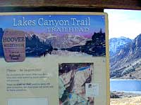
Lakes Canyon Trailhead

hikerLakes Canyon Trailhead

Backpackers & Horse Packer Trains have excellent access to the Hoover Wilderness in the High Sierras. Plus this prime Lundy Canyon location is situated at the back door of Yosemite NP.

Mono County Tourism
800-845-7922

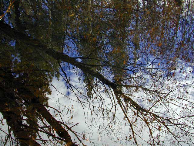
Reflections

Lundy Area Maps:
Hoover Wilderness Trail Map (Tom Harrison)
Inyo National Forest Map (USDA)
Yosemite High Country Map (Tom Harrison)


View Larger Map

Links for Lundy Canyon:

Lundy Lake Road
Lundy Lake Rd, the paved road up climbs the steep canyon to an elevation of over 7500′

McGee Creek Campground

McGee Shade

NFSlogo

McGee Creek Campground NFS

near Crowley Lake, CA
Inyo National Forest Campground, Eastern Sierra Nevadacamp

• Elevation: 7600′
• Number of Sites: 28
• Vehicle Accessibility: RV 22′
• Camp Fee: Yes
• Campsites Reservation: Yes
• Length of Stay: 14 Days
• Season: May – September
• Trailheads: McGee Creek, John Muir Wilderness

mcgee camp sign

Mc GEE CREEK CAMP is located –
8 miles north of Mammoth Lakes exit
4 miles from Lake Crowley
2 miles from McGee Creek Canyon trailhead

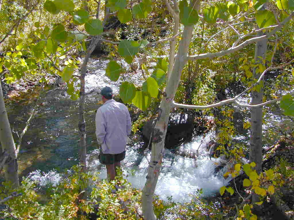
Aspen trees line McGee Creek that flows down from the Eastern Sierra peaks. Autumn is short and sweet, when the fall colors come and go – usually within a week or two. First snow fall of the season is generally in October and the camp closes for the winter season.

Located about a mile away from Highway US 395 in the wide open high desert. Sage meadows w/ minimal trees at camp. USFS has built shade structures for each camp site, so your time here is not spent in direct sunlight. Summer can get hot  and it can also be quite windy at this location.

  • backpacking
  • camping
  • fishing
  • hiking
  • mountain biking

mcgee creek

more McGee?

Closer to US 395 highway, there is a McGee Creek Lodge & Restaurant, right along the frontage road (Crowley Lake Drive).

And also, a more commercial camp called McGee Creek RV Park & Campground at the junction of McGee Creek Road.