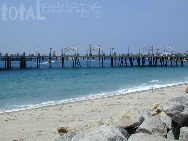
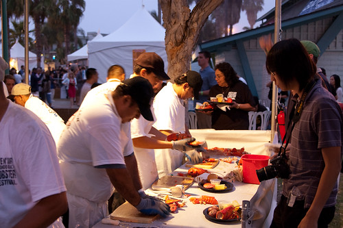
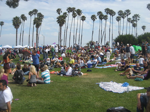
30 years running, this Redondo Beach event is a hot hit, especially for beach-goers near Los Angeles, California
3 day event held at the Seaside Lagoon next to King Harbor, just north of the Redondo Beach Pier. Live music, entertainment, lobster recipes, celebrity chefs, craft beer, kids activities and vendor booths.
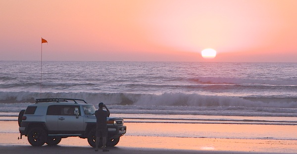
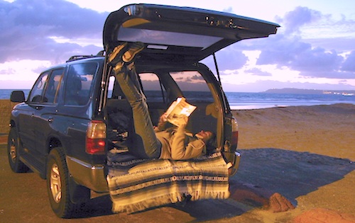
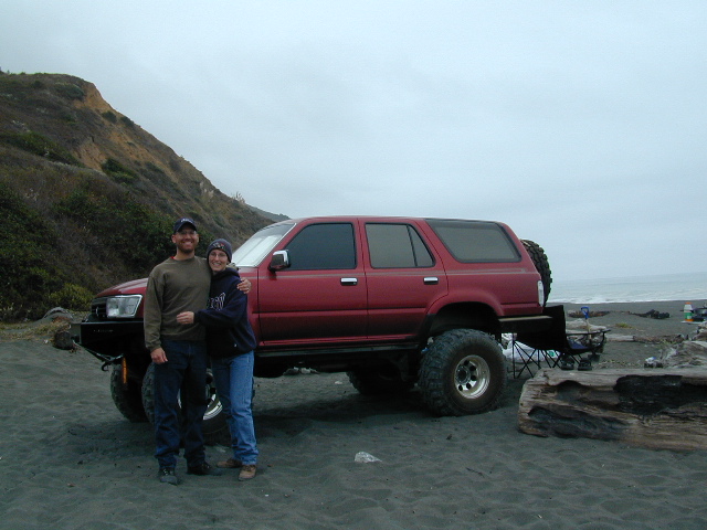
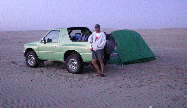
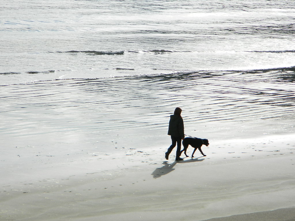
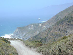
Gone are the days of ‘beach blanket bingo’ where film crews glamorized California – the beautiful people, the nice vehicles, the sport of surfing and the glorious beaches. There are very few places left on the California coast that you can actually drive a vehicle on the sand, right next to the ocean. The military bases, oil corporations and the utility companies have the front row seats to the Pacific genocide, and the rest of the population is restricted with extreme limited access.
Baja California has minimal regulations on coastal access with a car. No pavement, no signs, no cell phone signal, and no help for miles – something to consider if you get stuck south of the border in Mexico. Baja has numerous places to explore below Ensenada, but asking locals is always a favored approach. Pay attention to private property signs and always close the cattle gate (if you found it closed).
Southern California, no beaches allow vehicle traffic. San Diego offers a sliver of sand @ Silver Strand SB, which is a developed campground for motorhomes and car campers, located right on the beach south of Coronado, CA. Fiesta Island in Mission Bay, San Diego allows driving on sand and a favorite among active dogs, but not camping is allowed. In Los Angeles you can park a motorhome at a sandy, paved campground for a hefty overnight fee. Dockweiler Beach, right near the Chevron plant and LA sewage treatment facility. Sounds delightful, not.
Ventura & Santa Barbara Coastal Regions have many awesome State Beaches, but none allow vehicles on the sand.
Central Coast California:
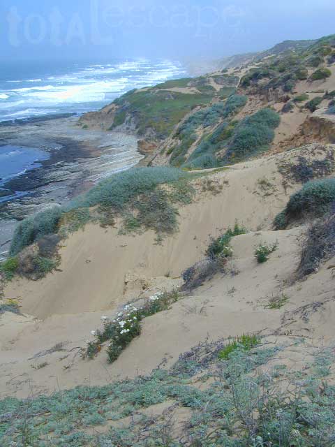
Oceano SVRA – off road sand dunes and open camping on the beach. Day use or overnight camp fee required; near Pismo Beach, CA
Red, White and Blue Beach – nude beach w/ campground (now closed); north of Santa Cruz, CA
Northern California:
Lost Coast
Usal Beach Campground – redwood creeks and forests meets coast and cliffs. Camp fee for overnight use. Long dirt road access. No RVs!
Black Sands Beach (OHV 4×4 trail, now closed to all vehicles) near Shelter Cove, CA
after-the-fun maintenance tip:
Salt water and sand is very corrosive to metal – which will rust your truck or car badly. Now that you’ve had fun on the beach, we remind you to clean the underneath of your vehicle ASAP. Spraying powerful hose in your wheel wells and all underneath the vehicle. You might need to lay on the ground and get wet to do this job properly. Some car wash places might be able to do this service for you, but it will cost ya.
One of the most visited coastlines in the world, San Francisco – where 2 peninsulas almost meet – at the mouth of the “hidden bay”.
This is the Golden Gate to California and the Wild West.
So, you wanna escape the tourist masses… and camp out, overlooking an amazing place?
(put on your hiking boots)
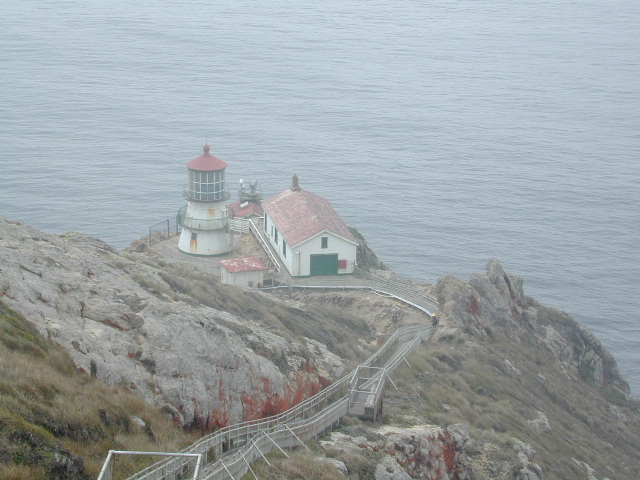
Pt Reyes Lighthouse
Nope, the Lighthouse doesn’t have a campground! There are no camping facilities at Muir Woods National Monument, nor Muir Beach. No camping at Stinson Beach, nor Bolinas.
The Tule Elk Reserve has no camping at all. Tomales Bay State Park no longer has car camping or RV camping available; hike-in or boat-in
camping, maybe.
What is available for campground camping on “the Point” is listed below, with phone numbers and links for more info.
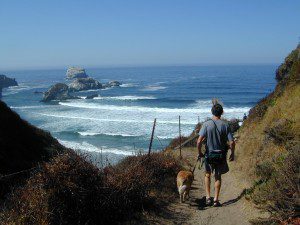
Cycling, hiking, backpacking, mountain biking, kayaking and boating are all popular outdoor recreation activities.
Small towns located on the Point Reyes peninsula do have a few private campgrounds, some of which can accommodate motorhomes. Follow towns links for those.
There are no RV parks, camper trailers or motorhomes allowed in campgrounds on the steep coastal region of Point Reyes. Most of the narrow, winding roads are forbidden for motorhome travels. No shoulder, no guard rails, on many curvy roads. Great viewpoints are best when you STOP to look, off the roadway.
Pismo Beach Camping – Oceano Dunes SVRA (Pismo Dunes)
This might be the only place on the entire California coast where you can take your vehicle on the sand.Drive on the beach!
Open dispersed camping is available along Oceano Beach. Watch the high tide line and set camp well beyond that mark. A typical weekend is busy year round. Sand rails, quads, the beefy family SUV, or the ‘garage queen’ trucks. With all these motorized toys, you’re thinking either – yeah, or no way. Option B is listed below.
SAND DUNES
Off-Road playground, Oceano Park is also referred to as Pismo Dunes.
Oceano State Vehicle Recreation Area has open camping on the beach, with a toilet within walking distance. No tables, no fire rings or paved anything! This is where all the big boys with the big toys like to hang out. Toy box trailers, bon fires, crowds & exhaust fumes. This crew can be seen each weekend driving Hwy 166, over to Bako.
Option B:
a large 82 site coastal campground is better suited for RVers & tourists wanting to avoid dune buggies. Horseback riding, beach, bike trails, laundry, market, shops & restaurants all close by. State Park Campground within walking distance to downtown Pismo & the Pismo pier.
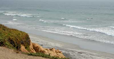
Beach Campgrounds along the coast are made up mostly of State Beaches & Parks. This is a popular and busy part of the California coastline for camping, all year long. Many RVers vacationing year round and big family events are held often. Tent camping is also available – but you will be surrounded by motorhomes, and paying a premium price for a camp spot. With the major highway US 101 zooming along the cliffs at shoreline, some of these campground are located within ear distance from the freeway and the railroad track. Ocean waves may overpower the traffic noise, but we aren’t guaranteeing anything. Early summer vacations tend to be foggy.
Camping right on the sand is possible in California, you just need to drive far enough to find it. Campground reservations are common (year round) on this stretch of coastline, since PISMO is a premier vacation spot for most of Central California.
blue links lead to State Park pages for camp reservations
This camping page features all beach front camping options along the Central Coast, from Santa Barbara to Big Sur. State Parks, State Beaches, bay side marinas and rugged rural coast camps. We even list private campgrounds and RV parks, just so you have more choices.
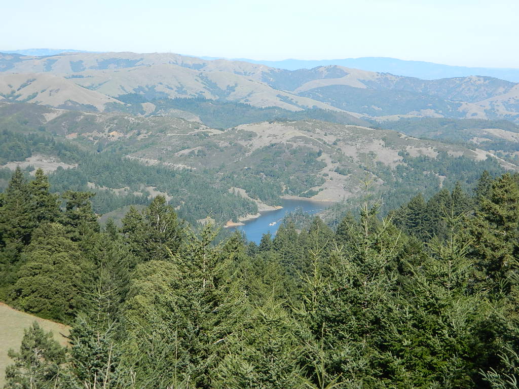
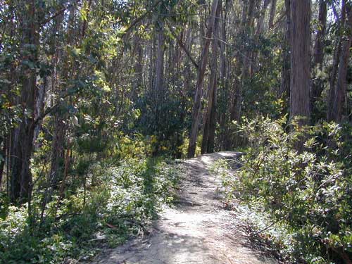
USDA National Forests lies inland along the Central Coast of California, all the way from Ventura to Monterey. Numerous recreational lakes and back roads that lead to secluded small campgrounds. Primitive dispersed camping is allowed, but campfires are limited to local fire restrictions. The later part of the year means drier conditions and sometimes campfires are not allowed during wildfire season. Obtain a free campfire permit & check current conditions from the local ranger before venturing into the backcountry.
San Diego Coastal Campgrounds
Mission Bay & North County
SD Beach RV Parks & Camping
San Diego’s mild climate means camping is available all year round. Winter storms can get windy and rainy, but most campgrounds are still open. From north county where the coastal cliffs overlook the ocean, to downtown bay side marinas w/ RV camping, to camping right on the sand w/ ocean crashing just feet away. Bike paths are common around downtown San Diego, so you can bring your bike or skates.
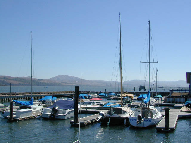
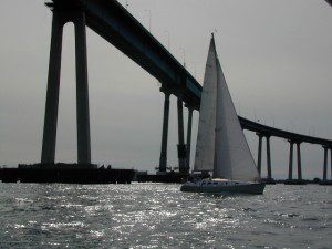
San Diego has 2 BAYS, both located along Interstate 5: The main bay downtown is called San Diego Bay (one of the deepest on the west coast) and the other a few miles north, is named Mission Bay (a man-made coastal waterway w/ green parks and paved bike trails).
Reservations are required at almost ALL coastal campgrounds, especially around holidays, any 3 day weekends, and all summer long. Tons of tourists flock to Southern California and this is a very popular coastline – with busy little cities and crowded beach towns. Beware: if you are seeking secluded camping – this would not be the place.
San Onofre State Beach Camp Pendleton or Camp Nuclear; I-5 freeway close
in between Oceanside & San Clemente, CA
There are numerous private RV resorts, some quite large, like KOA and GoodSam parks located in and around San Diego county. Most are metro-close and not located on the beach. This list is primarily coastal camping options for the San Diego region.
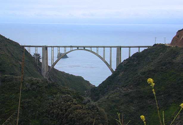
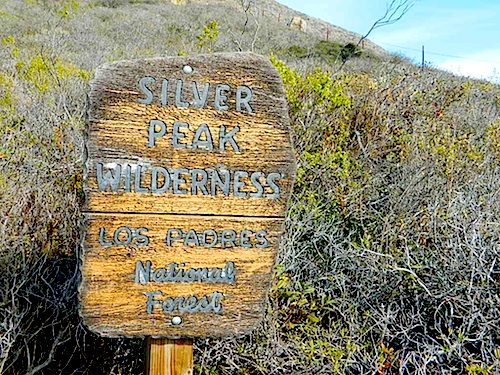
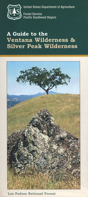
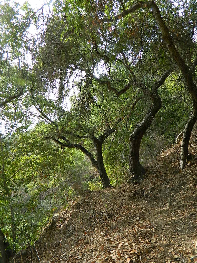
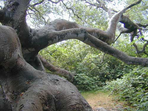
Backpacking and hiking trails on the Pacific Coast, steep terrain next to ocean. Coastal redwood canyons, oaks hills, great views. The neighboring Ventana Wilderness is located just north of Silver Peak hiking trails.
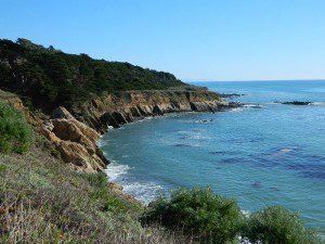
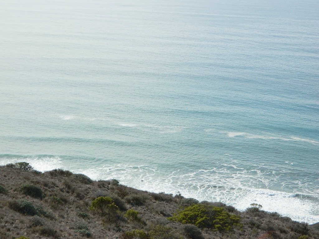
The Monterey Bay of California is located south of the San Francisco peninsula, and north of the rugged Big Sur Central Coast. This is a popular region for tourism, coastal villages w/ shops and restaurants, parks and beaches, farms and farm stands. With Santa Cruz mountains and redwoods as the backdrop, this coastline is also highly residential.
Camping along this coast is limited mostly to State Parks and few private RV park campgrounds. No primitive beach camping is allowed on State Beaches, no hike-in camp sites, no hidden cove tent sites, nor secret dirt roads with views over the Pacific. This is a very developed beach and bay, with the 4-lane freeway, main artery US Highway 101, bordering the entire shore.
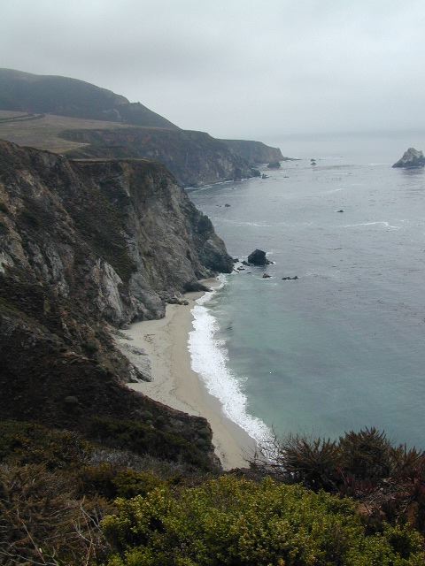
If you are looking for free and a more rugged, scenic camp – head south to the Big Sur Coast, to find a dirt road camp on the ridge. The sweetest ocean view hike-in camp sites can be found to the north, in the Marin Headlands of Point Reyes, which can be found under Marin Camping.
blue links lead to State Park pages w/ camp reservations.
Go west to & visit the oceans edge or head east to explore a deep redwood canyon.
Approx. 5 miles South of Big Sur State Park and just north of Julia Pfeiffer Burn State Park, this unmarked dirt turnout area on Highway 1 is a rare find. Rocky shorelines at the historic point, plus the scenic tree lined waterfall & cross the highway & head east for a shady Redwood canyon forest with plenty of backpacking options into the Big Sur back country of Los Padres National Forest. From bright sunny ocean view hillsides to dark shady forests.
This portion of the highway cuts into a deep bend along the coast & has no markings to the paradise that lies within. A steep dirt fire road (down to the cove) with metal gate is your only clue. Dirt parking area on both sides of the road indicate that people have parked here before.
This un-signed secluded hide-away has a variety of landscape & sites to see. You could easily kill 6-8 hours just in this canyon alone!! Definitely not a hurry through kind of place. Take your time, enjoy the view, tide pools, bring your swim suits & refresh in the creek. Carry a picnic eastbound into a shady creek-bed canyon & watch the sun dance through the towering pines above.
Driving northbound on Highway 1, look for large hair-pin turn out in canyon area – approx. 3-5 mi. North of Julia Pfeiffer State Park in wide dirt areas along roadside. Located in between Julia State Park & Pfeiffer Big Sur State Park.
Hike down the dusty wide gated fire road in dry brush chaparral. The view of Redwood trees, the royal blue ocean in front of you, the sounds of a water falling creek. The trail forks off in 3 directions:
Right / Rock Beach – this a boulder lined cove where the clear fresh water stream meets the ocean. Small pools & waterfalls can be found just upstream .
Bridge Crossing / Point – through a wooden tunnel to a cliff area with tide pools & wooden structure (an old boat launch?)
Left / Up Stream – a forested canyon w/ a variety of trees; dead ends a few hundred yards up into the canyon
Another option to this canyon is the East side:
Hike up inland (away from ocean) into a densely forested creek area. Redwoods, waterfalls & boulders. Deer sightings are quite common in this area. Shady & dark this trail climbs gradually in elevation. One fork of the trail leads to an old Redwood Grove. A portion of the trail is closed 2.5 mi. up due to a landslide. But overall the is a perfect option for backpackers wanting a short hike.


 The Tule Elk Reserve has no camping at all. Tomales Bay State Park no longer has car camping or RV camping available; hike-in or boat-in


 Open dispersed camping is available along Oceano Beach. Watch the high tide line and set camp well beyond that mark. A typical weekend is busy year round. Sand rails, quads, the beefy family SUV, or the ‘garage queen’ trucks. With all these motorized toys, you’re thinking either – yeah, or no way. Option B is listed below.


 Another option to this canyon is the East side: