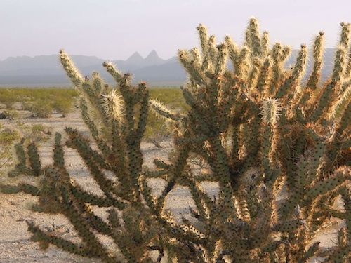
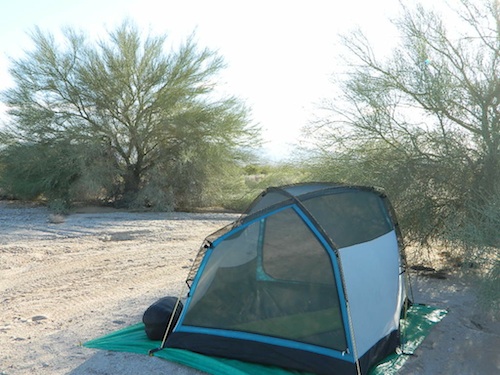
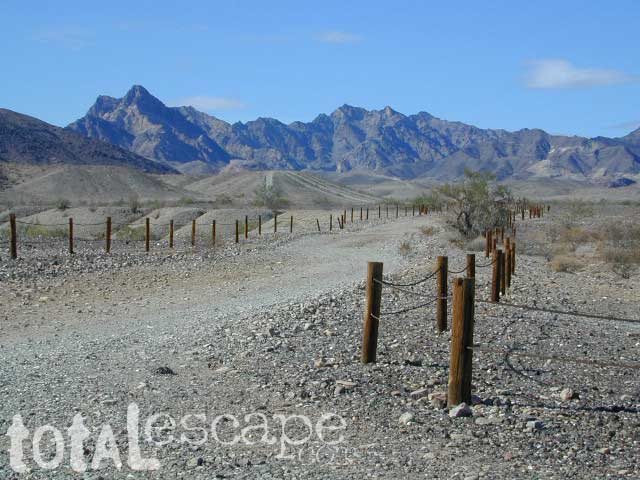
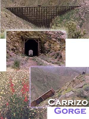
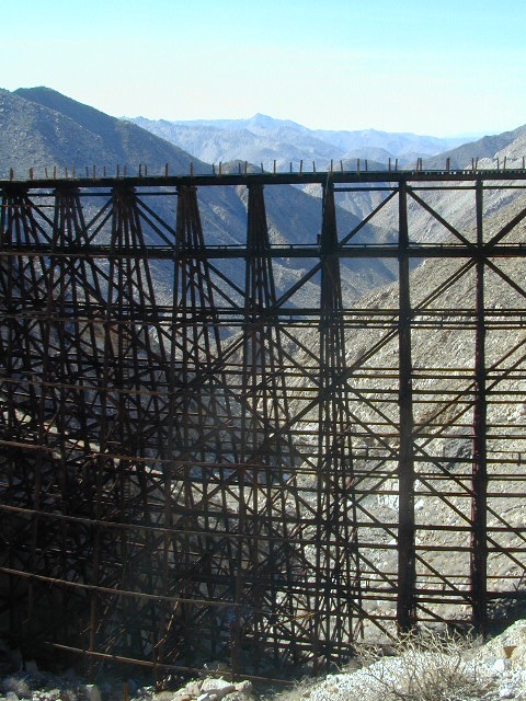
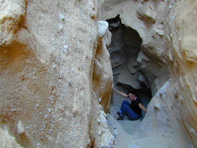
Carrizo Gorge Goat Trestle – via Mortero Wash. Near the south end of Anza Borrego State Park is the infamous ‘goat trestle’, one of the largest wooden rail road trestles in the US.
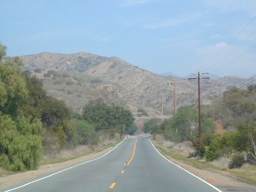
This hike can be reached by driving N on San Diego County Road S2 (from I-8) into Anza Borrego Desert State Park. Near the park boundary keep your eyes peeled for Mortero Canyon Rd (signed) on the left side. This is a sandy, one-lane, dirt road, accessible by passenger car, that leads out to the train tracks & then past to the Mortero Big Boulder campsites. Park at rail road tracks near water tank & start hike from here.
Ground was broken on September 7, 1907 by San Diego’s Mayor, John Forward and the construction of the 140 mile route was completed on November 15, 1919. The first through train was the called the “Golden Spike Limited”, named after the $286 golden spike, which John D Speckels drove into the ground near tunnel #8.
The Goat Canyon Trestle was built in 1932 to re-route tracks due to a landslide.
Passenger Cars Ran until 1951.
The route through Carriso Gorge was closed temporarily by Tropical Storm Kathleen in September of 1976.
And was reopened 1981, and then closed again by recurring storms.
Kyle Railways ran freight cars until mid 1984.
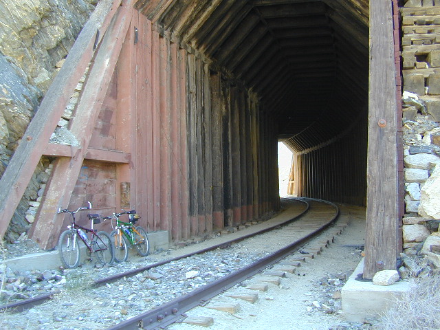
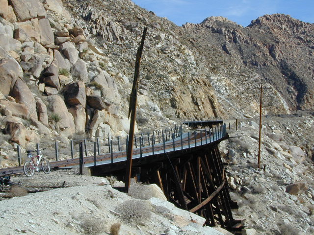
The Carriso Gorge section has fallen into disrepair with two trestles being burned and the collapse of two tunnels as the result of fires. The trestles have been rebuilt and one of the tunnels has been repaired – however, this scenic section of track is used mostly by hikers and mountain bikers.
Other Facts: Derailed cars are from 1984 and were filled with bags of cement. Laborers were brought in to unload the cement but the cars were left. The Goat Canyon Trestle is 185″ tall and 600″ long. During its use it was the tallest wooden structure in daily use. Hence, this trestle was designated a Historic Civil Engineering Landmark in 1986. Carrizo means “reed grass” in Spanish. Total cost of construction was $18 million.
In 1979 the SD & AE west of Plaster City was sold to the Metropolitan Transit Development Board for $18.1 million. SD&A was said to stand for “Slow, Dirty and Aggravating” generally because of the high temperatures, smoke and open windowed trains cars.
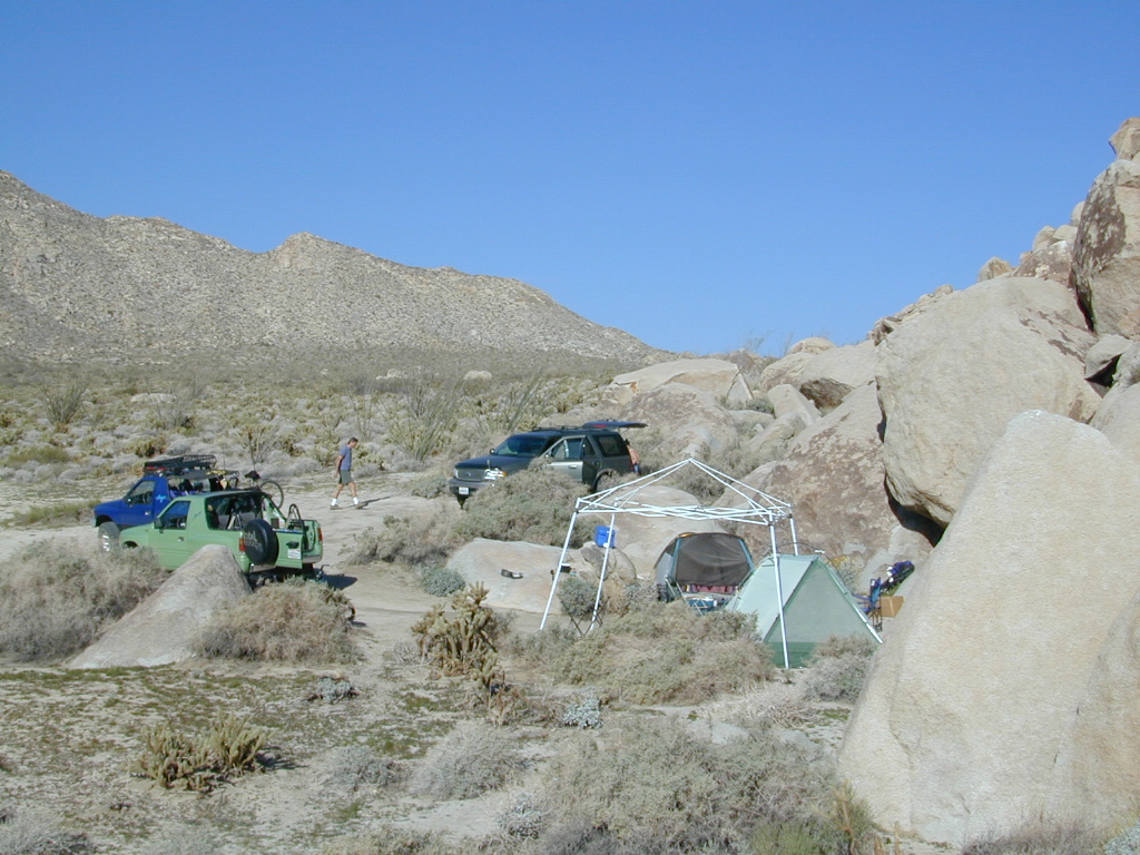
South end of Anza Borrego State ParkDispersed camping (for free) in the Boulders
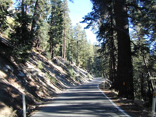
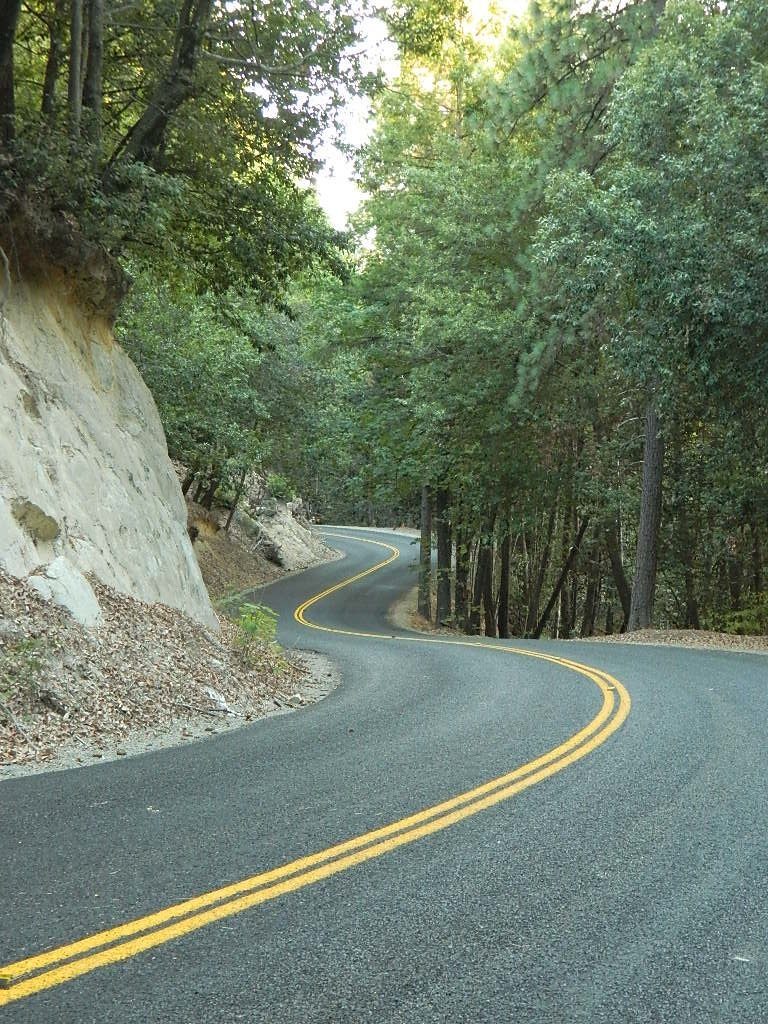
These are the roads that drivers love. More room to roam, more space, more pavement, more scenery to love and less people, less drivers and less distractions. California has endless roadways that wind through every part of the entire state. If you enjoy real driving in California, you like the curvy roads & scenery. Total Escape has dedicated numerous hours to the collection of back roads in California. Some paved, some not.
4000 RPMs or higher / Cerro Noroeste Road to Hwy 166
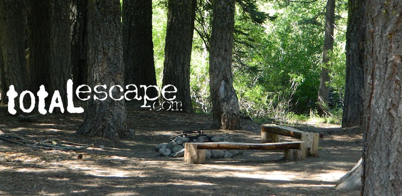
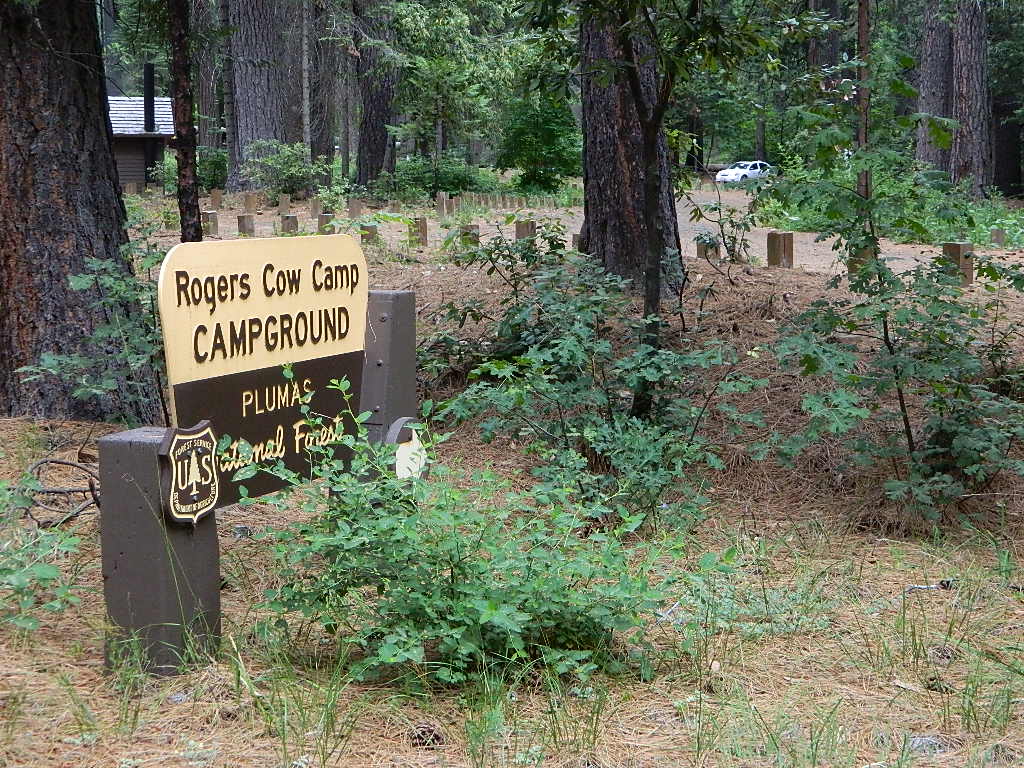
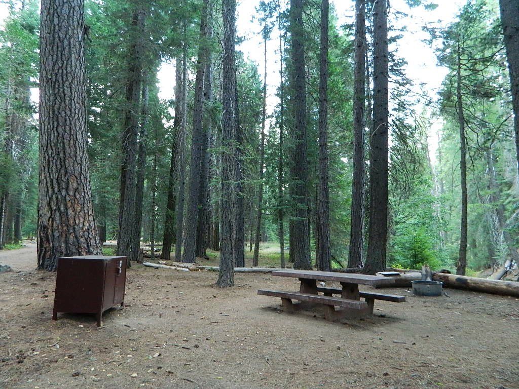
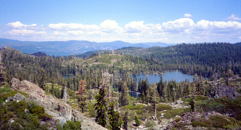
Plumas National Foresthas excellent outdoor recreation and developed campgrounds, as well as secluded, primitive back roads camping sites. If you prefer a camp with table, toilet and a campfire ring, then expect to pay a fee. There are several small, remote campgrounds listed below, but most are located on paved roads. Venture down dirt roads to find a premium camp sites for free. Scroll the map links below to explore the back roads of Plumas, and discover hidden fishing holes.
SOME CAMPGROUNDS are closed due to wildfire damage in the Plumas region.
A summer tour of the California Alps in a High Sierra 129 mile long cycling course. This is one of the premier cycling events – held for more than 30 years!
Markleeville CA & Monitor Pass (Hwy 89) are south of Lake Tahoe, connecting US Highway 395 to the upper alpine heights of the Sierra Nevada mountains. Car camping spots and backpacking in this region are located near the aspen groves, lakes, creeks or pine forest.
Starting in 2014 Death Valley National Park announced that there will be NO sporting events of any kind held within Death Valley National Park, so this particular event has been relocated to the high desert region of Reno, Nevada
Claimed as the “Toughest 48 hours in Sport”, a 508-mile bicycle race revered the world over for its epic mountain climbs, stark desert scenery, desolate roads, and its reputation as one of the toughest but most gratifying endurance challenges.
*NOTE: moved from the month of October to September
This long running beach block party is always held on the extended Memorial Day Weekend – kicking off the summer months. 3 days of live music, art, food & fun.
This cycling event has now morphed into multiple events at various locations.
Green Fondo, California
Annual charity bike ride where folks ride a few hundred miles over days, learn about clean energy, support a great cause, and have fun cycling. Bike route changes every year.
The very busiest weekend to visit the Downieville – Yuba River canyon region, so consider yourself warned.
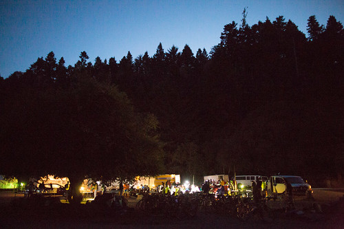
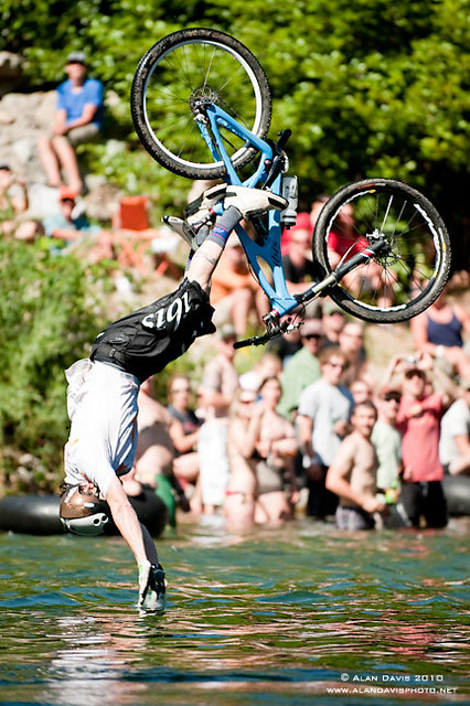
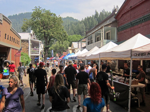
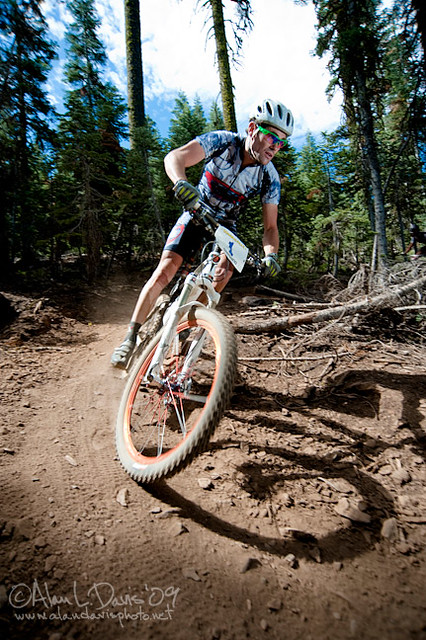
Bicycle Expo & Street Fair on Saturday and Sunday. Live music & dancing. Big Air River Jump, plus, race cross country style or the infamous Downieville Downhill. Shuttle service available.
One of the biggest mountain bike events on the west coast. Located deep in the heart of Northern Gold Country, along the Yuba River & historic Highway 49. Camping options available in every direction. The small historic hotels book up well in advance.
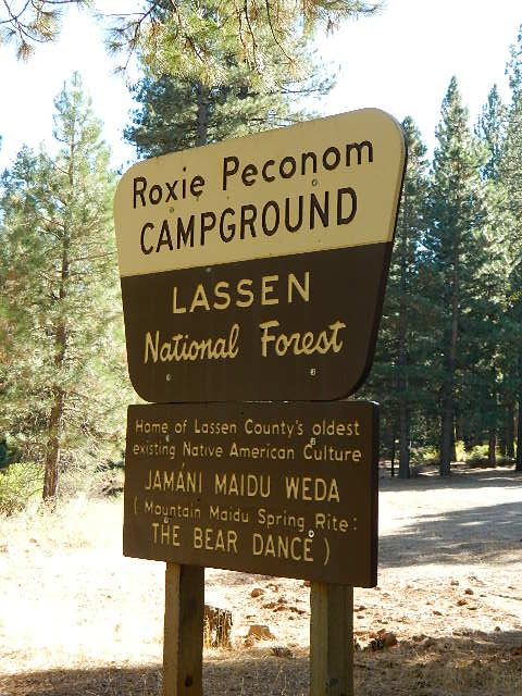
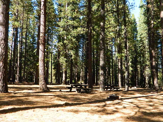
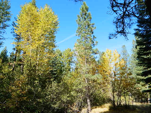
This pine forest is home to the developed NFS campground – which has been named after the tribal elder. The camp location is a sacred spot to the local native tribes. Just above Susanville, CA on the west side, south of the highway; forested w/ creeks and aspen groves. Autumn colors can be found in the creek beds.
Dirt roads all over the place, leading to far away destinations like Diamond Mountain, Antelope Lake and Taylorsville. The backcountry region was recently damaged by wildfires: 2020 Sheep Fire and now the Dixie Fire
FREE CAMPING – W Susanville, CA en route camp
Less than 3 miles of dirt road #29N03 driving will get you back off the highway and into this forest, Hwy 36 W of Susanville. Bring the mountain bike for abundant usage and a week of exploring.
Only 13 miles to downtown Susanville, via the back road. Chaney Creek Road is a main dirt road near Highway 36, which parallels the river, the red rock bluff and the road, downhill into town.
This FREE campground is popular with the hipcampers and pediums – and gets rave reviews; small RV campers do like to use this camp spot, if they don’t mind a little dirt road driving; they’ll need to park in the dirt parking lot, 40+ feet away (not adjacent to the picnic tables or fire rings).
camping
ceremony
drum circle
fishing
hiking
horseback trails
hunting
mountain bike
off road trails
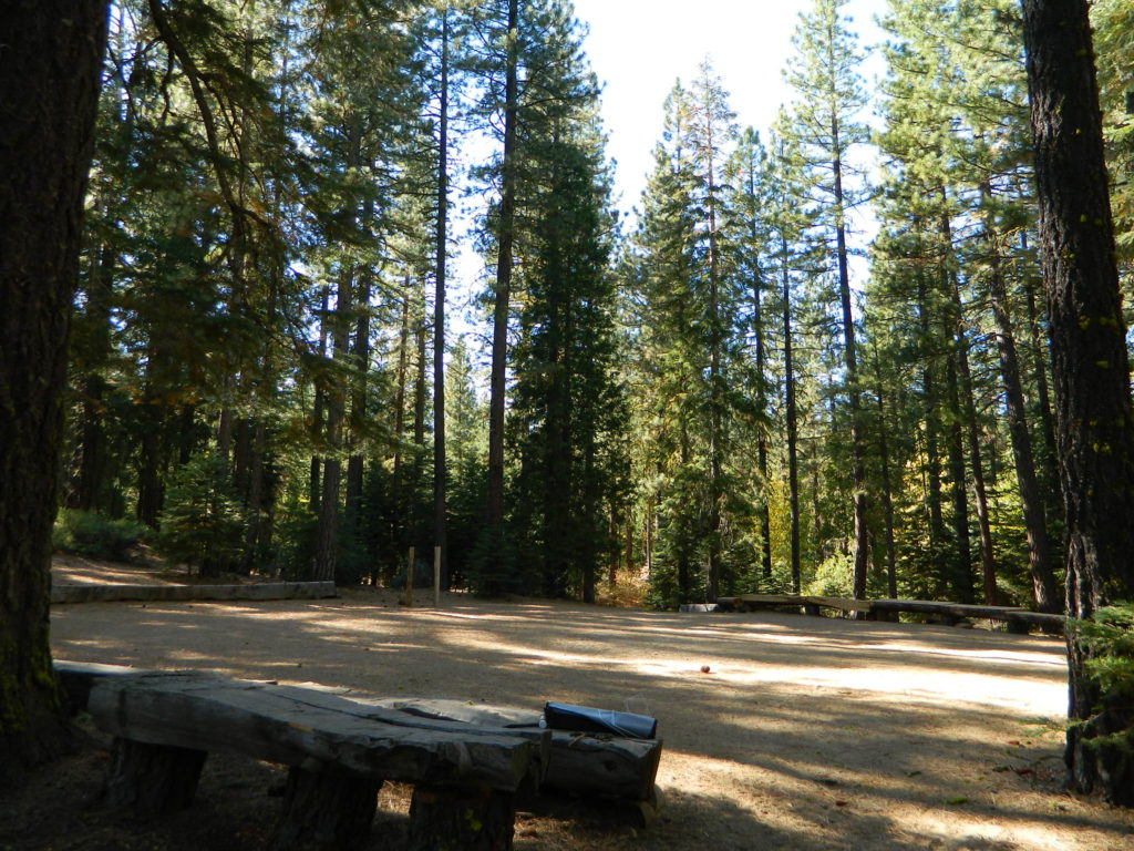
Bear Dance Circle @ Roxie
walk in campground, and close to town
Walk-In Campsites @ Roxie
AUG 2021 – CLOSED due to the Dixie Fire
Roxie P Campground
Susanville, CA – Lassen NF
• Elevation: 4,800′
• Number of Sites: 10 (walk-in only)
• Vehicle Accessibility: any
• Campsites Reservation: No
• Campsite Fee: No
• Length of Stay: 14 Days
• Season: open all year
• Trailheads: Diamond Peak
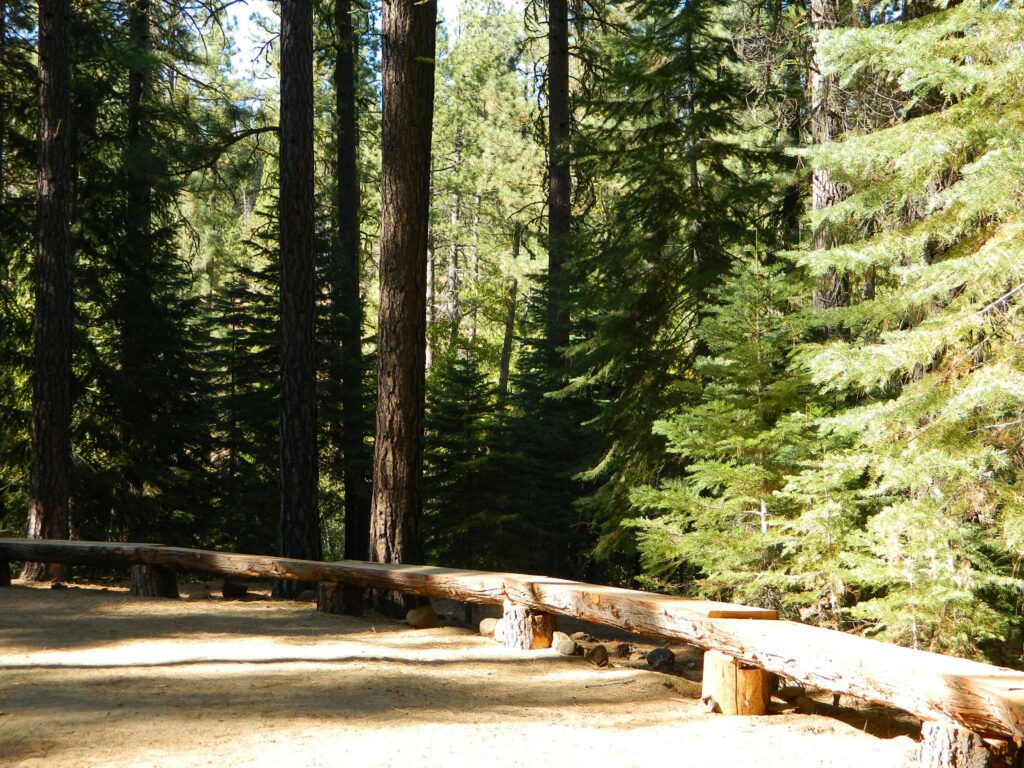
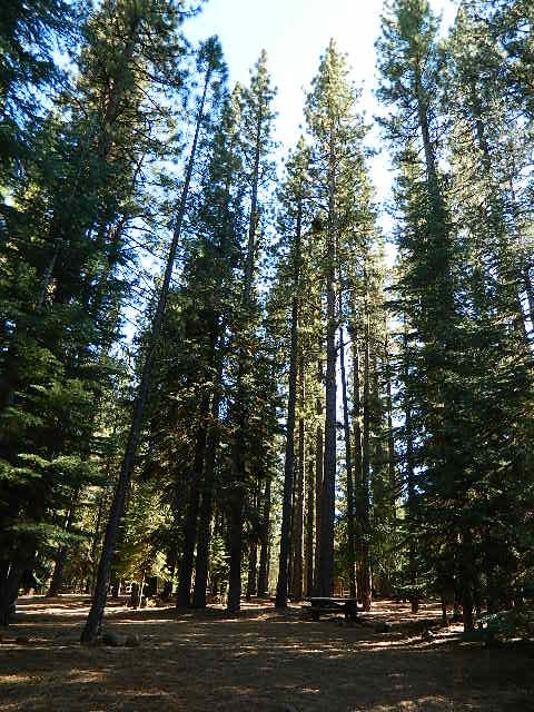
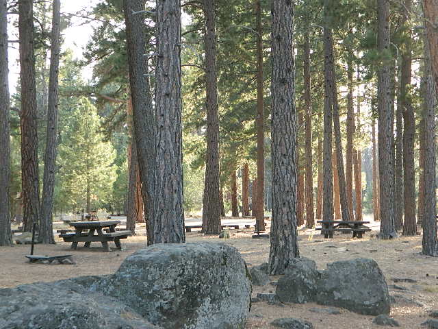
Flat forest and easy to walk. Shade and pine needles, picnic tables and group fire pits. All facilities are encompassed with a sturdy wooden, fence line. No RV or trailer access to camp sites. Mountain bikers like this spot and so do horseback riders. Travelers passing through eastern California will welcome the convenient location, plus the ease of dirt road.
The Roxie Camp is situated near Willard Creek on the south side of the Highway 36, close to Susanville. Willard is a feeder stream into the Susan River, which flows into town. Quiet camp, most of the time. If a big family is camping here w/ children, or there is a tribal gathering, it could get loud.
PLAN B – head over to Goumaz Campground NFS, due north. Located in between, near the junction of Hwy 38 & 44. Near the railroad tracks and the Susan River. Smaller camp near the NRT (National Recreation Trail), the Biz Johnson Trail (BLM). 2021, this camp is CLOSED!
so find someplace else: PLAN C
(make sure any camp is open by calling rangers before traveling).
OHV activity may be passing the developed campground, but are discouraged – due to the layout of camp. Plenty spots for ‘froaders further out – at the end of the road. Way back there!
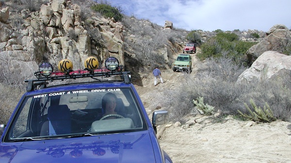
Jeeps, 4×4 trucks, quads, dirt bikes, anglers and hunters travel these dirt back roads, as well as rangers, campers, horses, mountain bikes, and big logging trucks. 25 mph slow is always best. Daytime headlights help you get seen in the shadows. Forest is dense and road conditions are ever changing.
Forest Road #29N03 is Gold Run Road, the bumpy dirt road – that skirts around Diamond Mountain on the south side. Lots of one single track or one-lane dirt roads, which will require a National Forest map or a decent topo map to navigate properly.
OHV is common in these areas, but not so busy at this camp. If you seek peace and quiet and solitude, know how to read a map and where the noise is expected to be. Avoid the OHV areas, if you want to nap in the hammock and read a book.
Wild red necks with guns live in NorCal, so pay close attention to property lines and trespassing signs.
USFS Ranger Station is located on the west side, just outside of town, on the wide downhill grade on the highway @ the Eagle Lake turnoff. Cal Fire station is also located along this stretch of road.
Lassen National Forest
Ranger Station USFS
CA-36 @ Eagle Lake Rd
Susanville, CA 96130
530-257-4188
Cal Fire Station
697 CA-36, Susanville, CA 96130
530-257-4171
This bicycle event has been held 40+ years & is a major Memorial Day weekend event for the Central Coast wine country. Rides from 5 to 100 miles! Vendor Market Place, Bike Swap and BBQ
San Luis Obispo County Off Roading
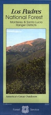
Los Padres National Forest
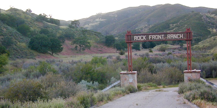
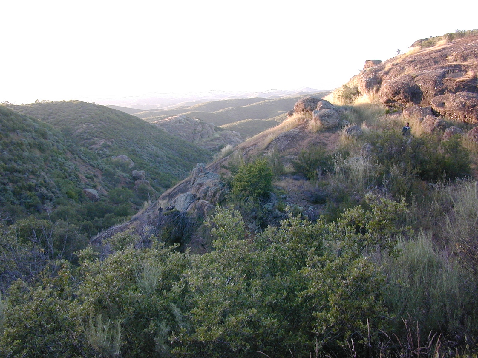
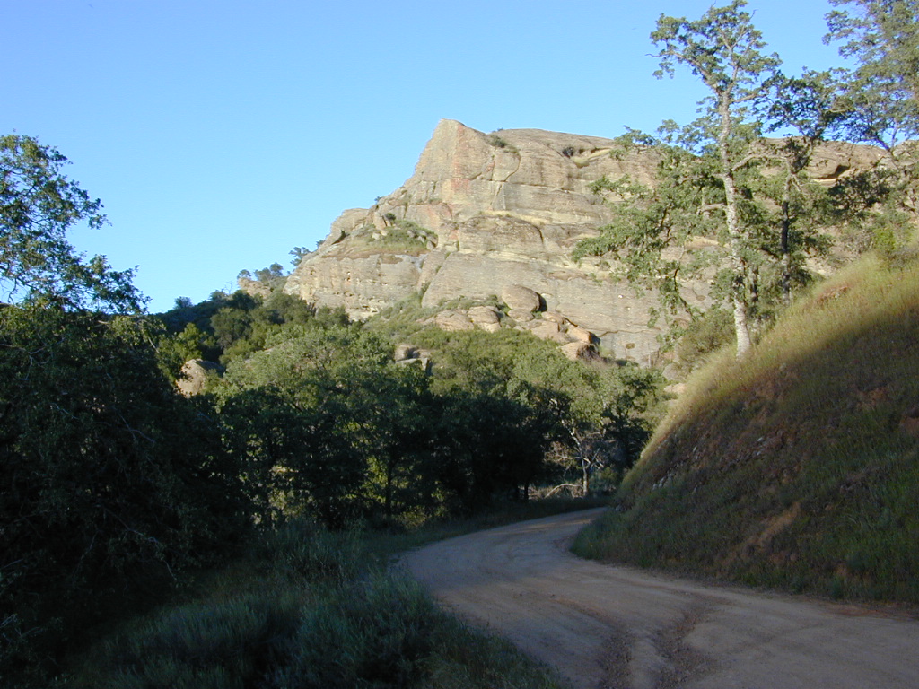
Rock Front Area is located on the north side of Hwy 166 in between New Cuyama and Nipomo, on the very edge of San Luis Obispo county in the center of the Santa Lucia Ranger District of Los Padres National Forest. Landscape varies from rock covered canyons to ridge line trails with outstanding vistas of the the mountains and Cuyama Valley. Remote area features Los Machos Hills, Alder Creek, Branch Creek, Cuyama River, cool rock formations.
15,328 acres
41 miles of trails
From US Hwy 101 @ Hwy 166 travel east 25 miles, left turn into Rock Front Ranch gate on left side. (This road may also be known as Branch Creek Rd on some maps). This off road area can be closed during rainy seasons, so it is best to call rangers ahead of time to ensure the gates are open. There is also one brown Forest Service sign along highway 166, (couple of miles from 101) letting eastbound traffic know if this OHV area is open or closed.
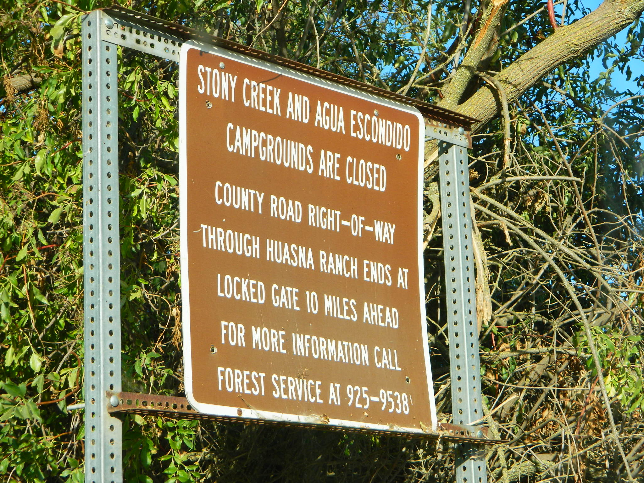
The dirt Road #32S07 (Arroyo Seco) from the west connecting historic Huasna townsite to Rock Front is CLOSED to thru traffic and has a locked gate. Private properties and ranches are abundant in the backcountry of Arroyo Grande, CA
OHV trail ratings in this region are designated below
Green diamond – easy & least difficult
Blue diamond – moderate & more difficult
Black diamond – extreme & most difficult
Logan Ridge Trail #17E05
Green diamond. Least difficult. Open to motorcycles, ATVS, 4WD. 1.4 miles long. This route is a good route for beginning riders. It is located on the main ridge top of Logan Ridge. Route dead-ends at a locked gate.
Shaw Ridge Trail #17E06
Black diamond. Most difficult. Open to motorcycles, ATVS, 4WD. 8 miles long. This route leaves the Twin Rocks route on a spur ridge that drops into the Alamo Creek drainage and dead-ends. A very steep section of trail exists at the end of this route where specialized equipment is recommended. This section is recommended for advanced riders.
Los Machos Trail #17E07
Green diamond. Least difficult. Open to motorcycles, ATVS, 4WD. 2.8 miles long. This route is a good route for beginning riders. It is located on the main ridge top of the Los Machos Hills. Route dead-ends at a locked gate.
Paradise Trail #17E08
Blue diamond. More difficult. Open to motorcycles, ATVS, 4WD. 2 miles long. Access to Paradise Campground and Los Machos route. It is best suited for intermediate riders due to a steep section along the route. Route dead-ends at a locked gate.
Branch Creek Trail #17E09
Blue diamond. More difficult. Open to motorcycles, ATVS, 4WD. 5.5 miles long. Access to Buck Springs Campground, parallels the Big Rock route and offers a loop ride.
Big Rocks Trail #17E10
Blue diamond. More difficult. Open to motorcycles, ATVS, 4WD. 4 miles long. Located on the main ridge top and intersects with the Jack Springs route.
Twin Rocks Trail #17E12
Blue diamond. More difficult. Open to motorcycles, ATVS, 4WD. 3.5 miles long. This route intersects Shaw Ridge and dead-ends at a locked gate. The first half-mile of this trail is steep. Once on top of the ridge you have excellent views of the Cuyama Valley and the Santa Lucia Range.
Kerry Canyon Trail #30W02
Black diamond. Most difficult. For motorcycles only. 6 miles long. This trail must be accessed through Colson Canyon or Sierra Madre. The trail is highly technical and is recommended for advanced motorcycle riders only.
HORSE TRAINING – Along the highway at the gate of Rock Front Ranch is a rock house and ranch, which may or may not offer equine services.
Spacious Camp @ Aspen Grove Campground, Eagle Lake, CA
Large, flat campground at the lake, with shady forest and common parking lot. Bathroom with running water and flush toilets are part of the amenities, along with wheel barrows for transporting your gear to distant camp sites.
Walk-in Camp sites: A few camps are located close to the parking lot, but half the sites require a short walk to reach. Firewood is sold by camp host, or bring the saw to gather free wood on the nearby back roads. There is literally TONS of free firewood on the dirt roads.
Walk-in only season is from Labor Day to December 31st
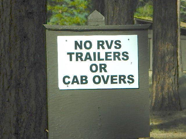
This is a tent-only designated campground with flush toilets, next to a lake. What luxury! Camping vehicles of any type (vans, motorhomes, truck campers) are not allowed in the campground. No generators at all, makes for peaceful camping. Wheelbarrows are provided to assist moving camping gear to and from campsite.
Aspen Grove Campground
• Elevation: 5,100′
• Number of Sites: 28
• Camping Reservations: Yes
• Sites Available: First come, First serve
• Vehicle Accessibility: no RVs
• Length of Stay: 14 Days
• Water: Piped water
• Toilet: Flush
• Season: Closed winter & spring
• Fee: Yes
• Operated By: National Forest Service
• Closest Town: Susanville, CA
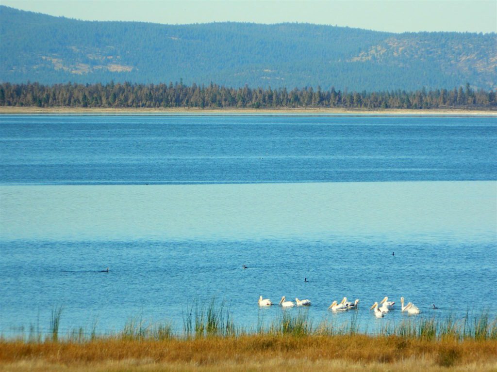
Large Eagle Lake, N of Susanville, CAWalk In Campsites, in the forest near the lake.Poor aspen grove. USFS Lassen National Forest WTF?
What they fail to mention on the .gov
National Forest web site:
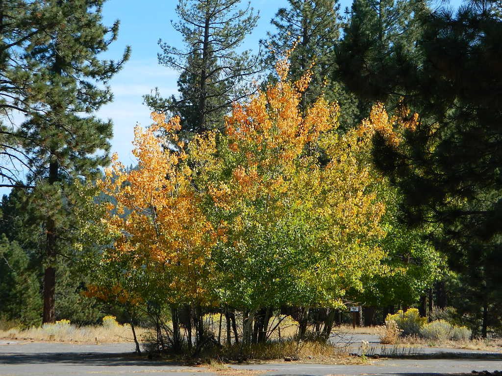
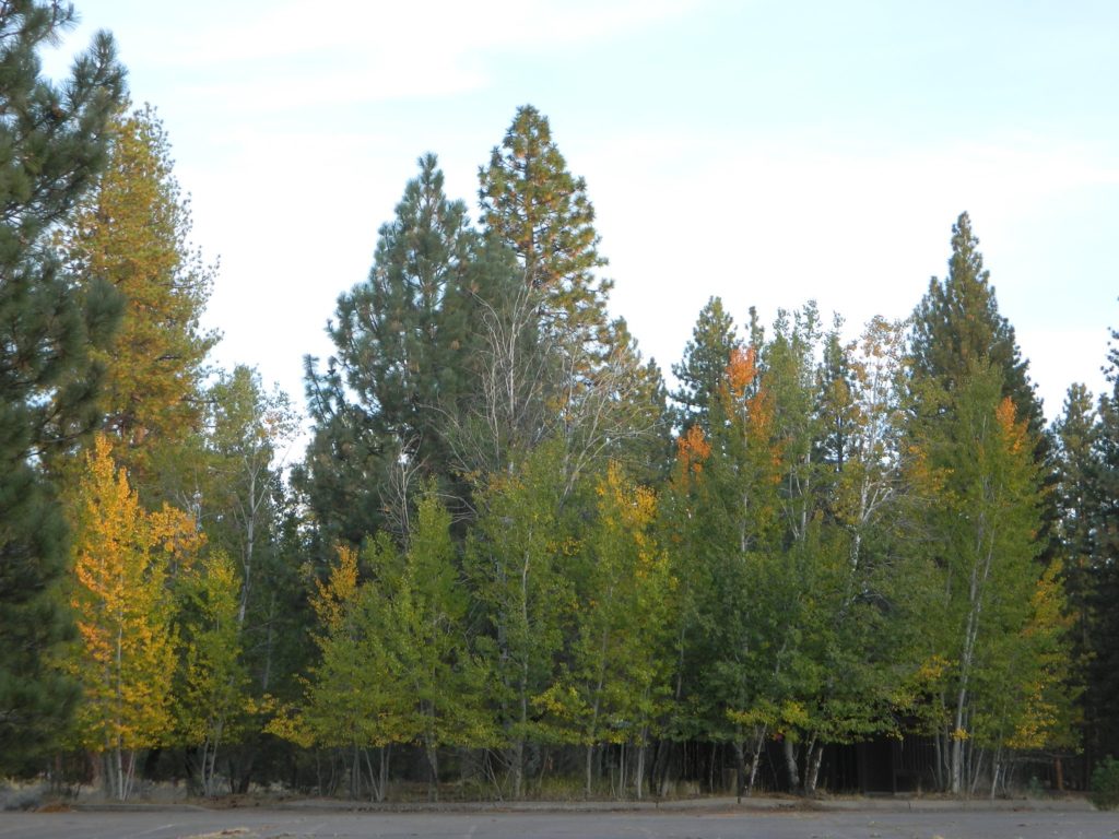
The largest aspen grove at this lake & camp is buried under pavement. Yep, that’s right.
The trees are bursting through the pavement hungry for growth. On the west side of camp, where the old boat launch used to be – before they realized it was the ideal spot for birds / wildlife and moved the boat ramp a mile or so away.
your tax dollars hard at work?
Now the ‘authorities’ should (manage themselves) to tear up all the old, unused paved parking lots, so the poor struggling aspen trees can make a come back. Autumn colors could be better at this location, and this aspen grove could be bigger and healthier, if the USDA would do their job and quit destroying nature.
Did I mention that this is one of the few aspen groves on any lake shore in Northern Cal?
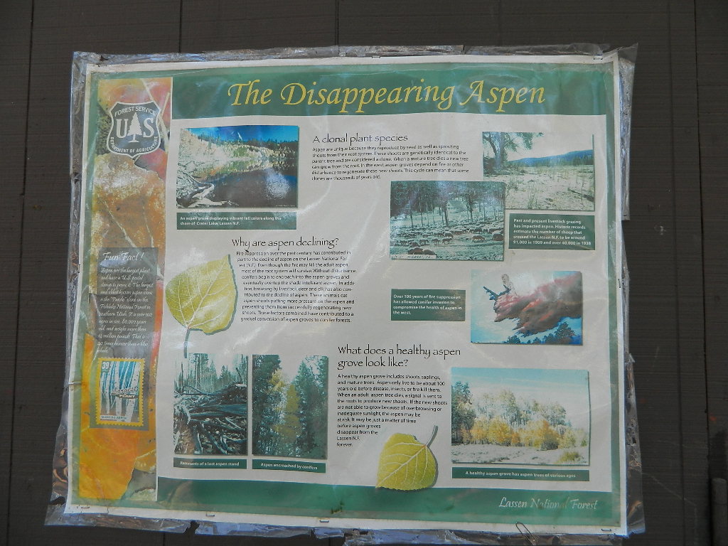
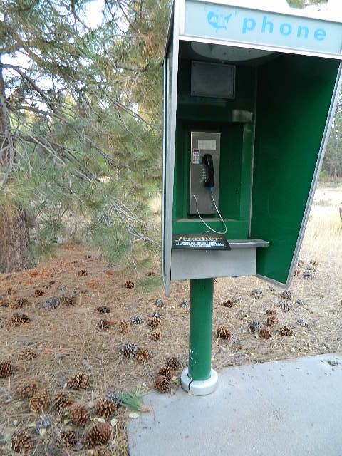
National Forest signs blame the disappearing aspen grove on the lack of sunlight and bigger pine tree shade, and is in the process of removing some. What about ripping up the old, unused parking lot next door – the one with weeds growing in the crack and the real phone booth – so that the aspen grove can flourish. Better forest management is needed at this prime Autumn location.
Best Aspen Grove – covered by asphalt. Come on NFS, rip it up.Remember these?
Life Time Sea Otter Classic
Mountain Bike Festival in the Monterey Bay area.
International racing, beginner to pro. XC, downhill, dual slalom, mountain cross, short track, trials and jump contest.
Located right on the middle north fork of the Tule River
Inside an unknown area called Mountain Home State Forest, this small campground has a few spots that fill up quickly on weekends and at anytime during in the summer months. Campground closes seasonally, for winter snow.
Usually open: MAY-OCT
HIDDEN FALLS CAMPGROUND
• Elevation: 6,150′
• Number of Sites: 8 walk-in camp sites
• Reservations: No
• Sites Available: First come, First serve
• Vehicle Accessibility: 20′ max.
• Length of Stay: 14 Days
• Water: River nearby
• Toilet: Vault
• Bear Boxes: Yes
• Season: Closed for winter
• Fee: Yes
• Operated By: National Forest Service
• Closest Town: Springville, California
tent camping on river
Motorhome RV campers beware; no hook-ups, no paved roads. This is a primitive style camp, way back on a dirt road – not suitable for large vehicles.
NOTE $ This used to be one of our favorite FREE spots, but they recently started charging an overnight fee for this campground.
Views from Camp
bike
camp
fish
hike
picnic
stargaze
Golden Trout Wilderness trailheads nearby. Plenty of hiking opportunities, great scenery and several Sequoia groves to visit.Mountain biking is allowed on the dirt roads. Single track trails may be overgrown or even off-limits, due to the fragile eco-system around Sequoia trees.
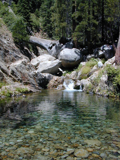
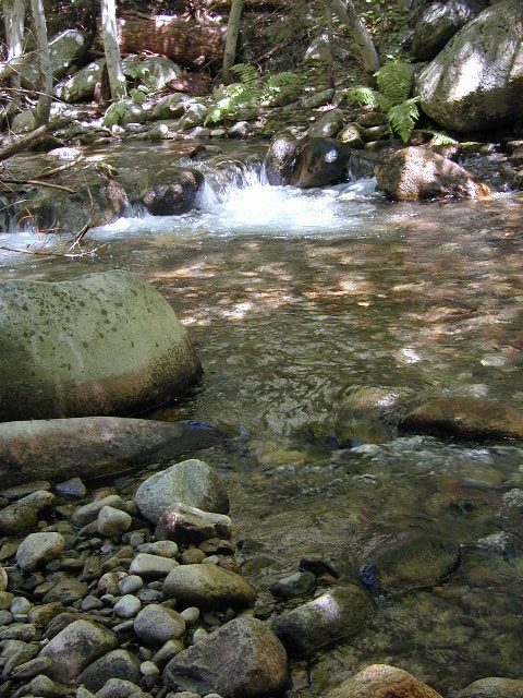
You may actually love this little camp so much, you won’t want to go anywhere else. How ’bout just chillin out: relaxing near the water. Shady swimming holes. Fishing in the Tule River.
Pack a picnic: Back road exploration is a great day trip, for there are many dirt roads weaving in and around this park, near the Giant Sequoia.
Tule River, North Fork
Hidden Falls is accessible via a long, narrow, paved mountain road; then a dirt road, leading 3 miles back to two very secluded campgrounds: this one & neighboring Moses Gulch Campground.
western south sierra
North of Springville on Highway 190, turn left (north) on to J37, some call it Balch Park Road (Google Maps has it as Wagner Drive) and follow it up 3.5 miles to Bear Creek Road (#220). Drive 17.5 miles on curvy Bear Creek Road, turn right and follow signs to campground.
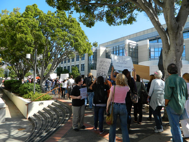
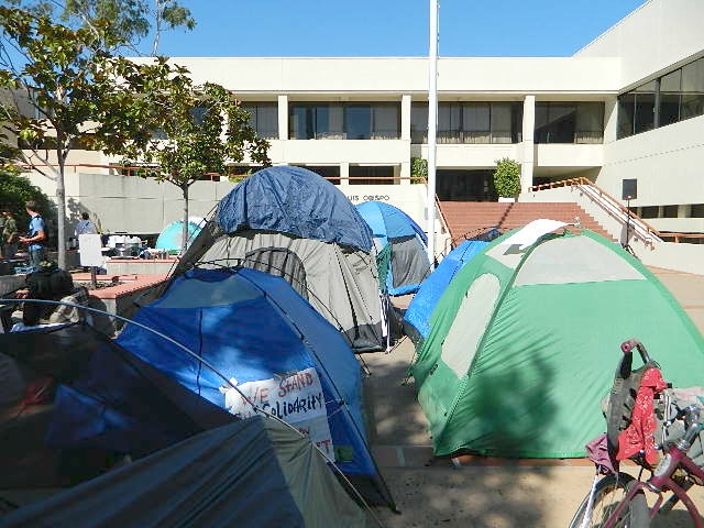
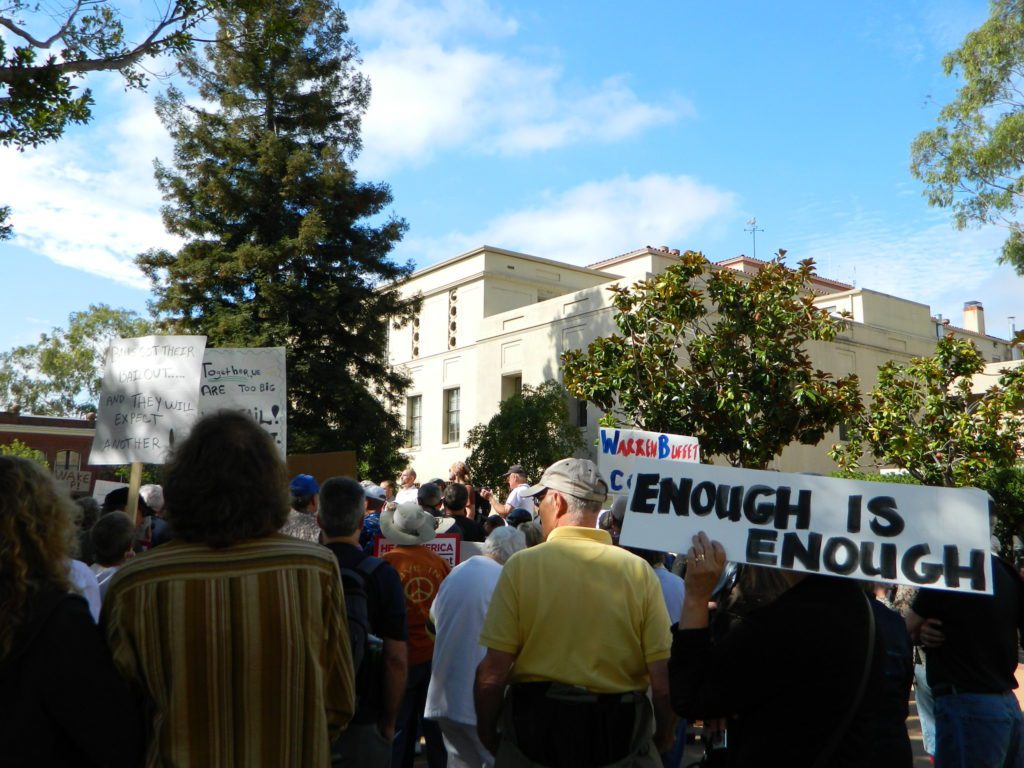
The past weekend makes the Occupy Wall Street protest look like a walk in the park w/ a picnic.
Only 8 and a half years ago (2011) – Americans were in the streets marching in mass. After 15 million people lost their home to foreclosure, 9 million lost their jobs and the banking system was teetering on the edge of financial collapse (2008), people woke up, joined together to demand a better system.
Banks got bailed out, We got sold out.
Mass Protest: Did things get better for everyone since then?
Ask around
are you ready to leave your comfort zone?
(manual labor may be involved)
a vast resource for rural California
58 Counties in Calif
plenty of space for everyone grow food, save seeds
Summer in the City = Uncertain
They want you – for your own safety – indoors, online, controlled and monitored. Wait, what? Do we really need to stay inside 24/7 – stir crazy, checking news and social media hourly.
Escape to the real Outdoors
Turn off the television and the computer and go outside. Plant a garden, grow some food, read a book, go for a long walk or a day hike. Find a new waterfall, dust off the old mountain bike or bring a picnic to the nearest open space.
California Poppy ParkDesert Camping is best in Spring.
@ HOME, for how long?
Choose the outdoors, over the indoors. Solo and safe. Secluded, distant, remote. Total Escape specializes in these types of locations.
Mountain biking has become a popular sport especially in California. We’ve got so much great terrain, so close to home (the urban sprawl), that this outdoor hobby is bound to get you back in shape, fast. Start slow to avoid burnout and injury. The weather is awesome, just go. Plan a camping weekend & bring your bike!
Obvious (but humorous) information on bike riding or mountain biking in Sequoia NP. Upon doing research for this page, noticed a heck of a lotta folks typing in the phrase
Sequoia National Park Bike Trail
I laugh…. but plenty people are searching for bike trails near Sequoia groves, inside the most protected of lands, the National Parks.
Firstly, most National Parks in California do not allow bikes on hiking trails. The Sierra Nevada has NO National Parks that allow mountain biking on their trails. (official words are: Biking is allowed on the main roads in the parks but is prohibited on park trails.)
Yuk. Who wants to ride on asphalt in the wild?
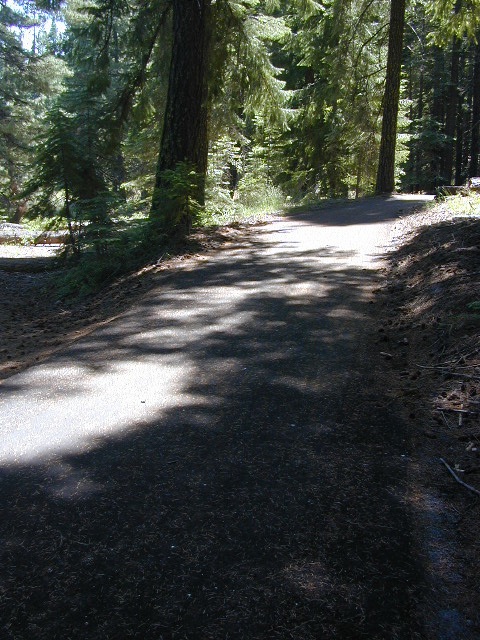
Yosemite & Lake Almanor both have nice paved bike paths. But you may want dirt trails for biking. Be it mellow mountain biking on forest roads, or the hard core Downie-droppers.
California Wilderness Areas are the same rules, but even tighter. So that brings us to Sequoia National Forest. Yes, indeed California National Forests allow mountain bikes on most trails, in most cases. The popular trails might even get small brown signs showing bikes that are allowed.
Second, there are no bike rentals inside Sequoia National Park (or Kings), so you must bring yours in, or better yet ride in. I dare you. Although you cannot take said bike on a dirt trail, so you’ll need to stick to pavement only. The main highway (Hwy 198) has got to be one of the curviest, narrow, fern lined ridge routes of the region. You would be a fool to ride this area, as a senior citizen w/ a 40 foot motorhome or a speeding SUV may take you out on a curve. Seriously! You better be in great shape if you plan to descend into Kings Cyn. That route is just as dangerous if not more so. These 2 National Parks – Sequoia & kings, both get a lotta traffic. Year round.
Thirdly – here is the biggest tip of the whole topic. In between Kings Canyon & Sequoia National Parks is a slice of Sequoia National Forest land. (Meaning you can ride bikes or mountain bikes here) Most call it Big Meadows Road # 14S11 & there is plenty camping all down this road – 12 miles with spur roads in every direction. A nice chunk of forest with rocks, meadows, camps & dirt roads. Granite & great scenery. What more could you ask for? More forest roads than single track trails tho and please watch for equestrian traffic. The dead end of this road leads out to 2 Wilderness areas, so be prepared to navigate with a good map in hand. No bikes are allowed in the Wilderness, remember?
Spicer Meadow Reservoir & more lakes: Paved Forest Rd #7N01
Spicer, Utica & Union Reservoirs, Central Sierra, Stanislaus National Forest
Stanislaus National Forest
North Fork of the Stanislaus River
Highland Creek
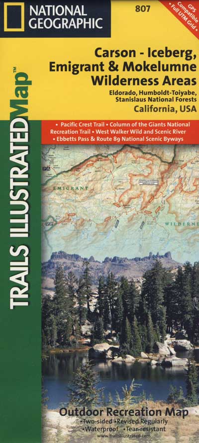
Carson Iceberg Wilderness Area
Spicer Meadow Reservoir (6418′ elev)
Union Reservoir (6850′ elev)
Utica Reservoir
Spicer Meadow Reservoir can also be found on various publications, listed as Spicer Meadows, Spicer Mdws, Spicer Lake and Spicer Reservoir.
Ebbett’s Pass is California State Route (SR 4) Highway 4, which cuts thru the middle of the Sierra Nevada mountains (east-west). Wilderness peaks and rivers surround this whole region. Deep snow pack is common, so much of this region is off-limits half the year (or more). Always check with local rangers by phone before venturing out, as winter conditions can keep these roads closed late into the year.
N of Arnold, California; Continue up SR 4. Passing Calaveras Big Trees State Park & Camp Connell; After Big Meadow Campground, take the paved right turn for Spicer Meadow; This is forest road 7N01. Meandering thru a forest and descending in elevation, road will dead end at Spicer Reservoir.
7N01, the main paved mountain road, is located on the south side of the highway. The highway turn off reads ‘Spicer Reservoir’. Suitable for travel w/ RVs and trucks with boat trailers. Quite curvy, scenic and about 7 miles long. There are developed campgrounds in the vicinity.
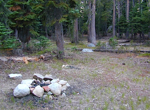
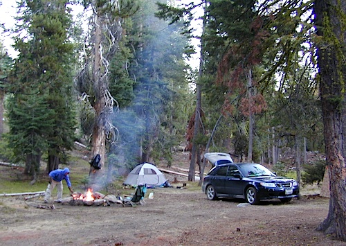
The dirt side roads off the pavement can be narrow, muddy, rocky and overgrown, so be cautious when exploring. Choosing a dispersed camp site should be done during daylight hours, and will require a campfire permit ahead of time. Use an existing camp site whenever possible, instead of creating new ones.
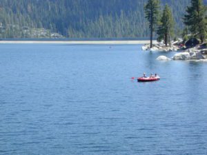
Several man-made reservoirs attract outdoor seekers, mountain bikers, campers, canoes and fishermen. Kayakers tend to love Union and Utica, but power boats and sail boats prefer Spicer Lake.
Volcanic features mix with Sierra granite in this part of the forest, and geologic formations make for interesting hikes. Mountain biking is common around these lakes, as well as day hiking and backpacking.
NFS Campgrounds in the region:
Stanislaus River Campground
Spicer Campground
Spicer Group Camp
Campgrounds only open June-September. Some campsites at the campground are wheelchair accessible. Boat ramp located near campgrounds.
Left fork turn off, Dirt Road #7N05 leads out to Utica & Union Reservoirs. Granite rock, alpines lakes w/ forests surrounding. No motorized boats allowed on those two lakes. Very popular among the stand up paddlers (SUP), all kayaks and canoes.
No developed campgrounds back that way either. No flush toilets, nor paved roads. No flat RV spots; only primitive style camping. These 2 scenic lakes get crowded during summer weekends, so opt for a mid-week stay if possible.
Another dirt road treks steeply up the hill from Union Reservoir to Lake Alpine (at the highway). That primitive truck trail is actually a (somewhat designated, but not well-signed) 4×4 route and suitable for high clearance vehicles only.
Spur Road #7N29Y is another small dirt road which leads a couple miles into the forest, over to overgrown trailheads and primitive camping options. Ideal for accessing all the lakes (on foot) from this prime location. A camp fire permit is required. No water, no bathrooms, no facilities, no garbage services.
7N01 – Los Padres NF
There is another USFS Road in California named 7N01, but that one is a 4×4 OHV access route @ Dutchman Campground, located in South Central California; the southern part of Los Padres National Forest. We have mention of it on the page for Frazier Park Camping.
Bald Mountain (elev 9382′) Lookout in Sequoia National Forest
NFS Fire Lookout Towers
JULY 2019 – Many thanks goes to Pike County Lookout for initially spotting the #RockFire – in the Plumas National Forest, near Berry Creek, CA
Lookouts in the California National Forests
Ready to see far and wide – with wild terrain? Views for 100 miles out and the best scenery California has to offer. Be prepared to off road or hike to reach one of these destinations.
Below is a list of historic look out towers & cabins used for spotting wildfires. Some are located on steep granite peaks, ridge lines or dirt roads. 4WD may be recommended to reach some of these. Road conditions can change w/ harsh mountain weather, so be prepared to rough it. Thunderstorms are common on these mountain ridges.
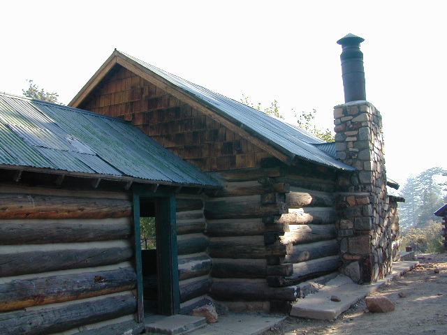
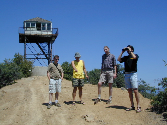
Several of these places are cabins, some are stone houses, but most fire lookouts are basic metal towers – with high climbing staircases, so you must be in decent physical strength to haul your ass up this high.
Cabins are also called guard stations, huts, bunkhouses. Most are located on mountain tops, but a few exist in desert regions. Some are refurbished & available for overnight rentals. Bare bones furnishings, so forget the frills. People come up here for the thrills. To be outside w/ epic views, way away from the urban grind & to feel on top-of-the-world.
See the full list of overnight accommodations on mountain peaks & ridges, some near meadows @ National Forest Cabin Rentals
Bald Mountain Lookout (no overnight stays) off of Sherman’s Pass Road #22S05, 4×4 may be needed.
Bald Mountain 9382′ elevation; in between the Kern Plateau & Kern River
Always check for local fire conditions at nearest ranger station, obtain a free campfire permit when camping outside of developed campgrounds, and always practice fire safety when visiting our public lands. You can be held liable for wildfires. Outta control campfire, cigarettes, idling vehicles on tall, dry grass. Be very cautious with fires on the often dry, west coast.
One of the most visited coastlines in the world, San Francisco – where 2 peninsulas almost meet – at the mouth of the “hidden bay”.
This is the Golden Gate to California and the Wild West.
So, you wanna escape the tourist masses… and camp out, overlooking an amazing place?
(put on your hiking boots)
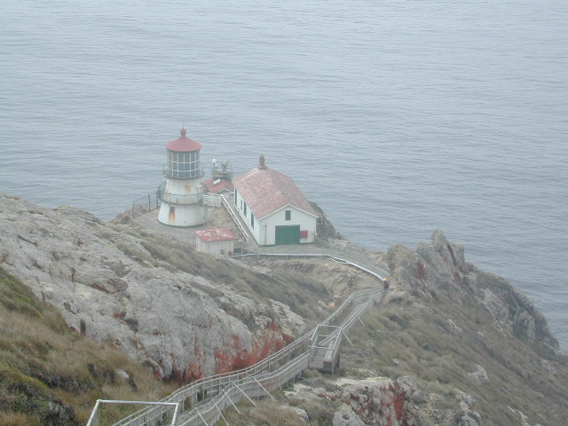
Pt Reyes Lighthouse
Nope, the Lighthouse doesn’t have a campground! There are no camping facilities at Muir Woods National Monument, nor Muir Beach. No camping at Stinson Beach, nor Bolinas.
The Tule Elk Reserve has no camping at all. Tomales Bay State Park no longer has car camping or RV camping available; hike-in or boat-in
camping, maybe.
What is available for campground camping on “the Point” is listed below, with phone numbers and links for more info.
Cycling, hiking, backpacking, mountain biking, kayaking and boating are all popular outdoor recreation activities.
Small towns located on the Point Reyes peninsula do have a few private campgrounds, some of which can accommodate motorhomes. Follow towns links for those.
There are no RV parks, camper trailers or motorhomes allowed in campgrounds on the steep coastal region of Point Reyes. Most of the narrow, winding roads are forbidden for motorhome travels. No shoulder, no guard rails, on many curvy roads. Great viewpoints are best when you STOP to look, off the roadway.
Anza Borrego Desert State Park & Borrego Springs Campgrounds
Anza Borrego Desert is the largest of the California State Parks. Borrego Palm Canyon Campground is the official name of this popular palm oasis & developed campground located very close to Borrego Springs CA. Hike or bike to town. There is also a private RV Park named Palm Canyon Resort in town, just to confuse you.
Desert wildflowers blooms, popular hiking & biking trails, plus mud caves & slot canyons draw plenty visitors here, mostly in the winter months. Summer high temps exceed 90 degrees for months at a time.
There are hundreds of miles of dirt roads to explore, and one could easily spend every weekend for a full year, checking out all there is to see in this vast desert, where elevations range from near sea level to 5000′ peaks.
BORREGO PALM CANYON CAMPGROUND
main campground near Visitors Center, in town Borrego Springs, CA
120 camp sites for tents & RVs, flush toilets, overnight / day use fees reservations accepted
TAMARISK GROVE CAMPGROUND
27 camp sites, flush toilets, fee
on S-3 @ Highway 78 jct (closed June – Sept) reservations accepted (Oct-May)
Vern Whitaker Horse Camp
equestrian campground w/ corrals, 10 camp sites, flush toilets
elev, 960′, located N of Borrego Springs, near scenic and rugged Coyote Canyon. reservations accepted
Backcountry Campgrounds Anza
Arroyo Salado
16 miles east of Borrego Springs on County Road S-22
Blair Valley Camping Area
open car camping & RV spots, vault toilets
on SAN DIEGO County Rd S-2 near Highway 78 jct
Bow Willow Campground
elev, 950′, hwy access, 16 camp sites, pit toilets, overnight fee
near Sweeney Pass & badlands overlook; located on S-2, 9 miles N of Interstate 8
Canon Sin Nombre
off S-2 near Sweeney Pass; entrance near Badlands Overlook; slot canyon hikes
Coyote Canyon Camping
N of Borrego Springs via Di Giorgio Road
rugged backcountry dirt road, tent camping only
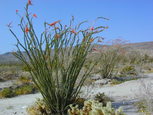
car camping near ocotillo gardens; 4×4 needed @ creek crossing & Sheep Canyon
Culp Valley Campgound
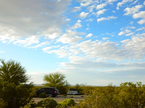
elev, 3400′, hwy access, 8 camp sites, pit toilets, free camp
located on S-22, atop Montezuma Grade
Culp Valley Boulders
elev, 3700′, dirt road access, primitive camp sites, free
located off S-22, 4×4 near Montezuma Grade
Fish Creek Campground
Hwy 78 near Ocotillo Wells & Split Mountain
elev, 280′, dirt road access, 8 camp sites, pit toilets, free camp
from hwy, go 12 milies south on Split Mountain Road
Yaqui Well
5 mi. south of Borrego Springs on County Road S-3 & right on Yaqui Pass Road, go 6 miles to camping area on right side
Yaqui Pass
5 mi. south of Borrego Springs on County Road S-3 & right on Yaqui Pass Road, go 4 miles to camping area on left side
Culp Valley trails, North Anza Borrego SP, SoCal Deserts
All Desert Campgrounds Nearby
AGUA CALIENTE HOT SPRINGS
(San Diego County Park)
88 camp sites for tents & RVs, flush toilets, overnight / day use fees, 760-765-1188
located on Co. Rd S-2, 22 miles N of Interstate 8 (closed June-Aug)
BOX CANYON RDMecca, CA – in between Joshua Tree NP and Anza Borrego Desert
BLM camping in Box Canyon & Mecca Hills Wilderness Park
LEAPIN LIZARD RV RANCH
(Private Campground Resort)
85 acres, 60 camp sites
located on Split Mountain Road, Ocotillo Wells, CA
OCOTILLO WELLS SVRA
(State Vehicular Recreation Area)
elev. 160′, 4×4 and off road camp sites for trailers & RVs
no water, no hook-ups, pit toilets, no fees, 760-767-5391
located on Highway 78 (closed June-Sept)
PALM CANYON RV RESORT
(Private Campground Resort)
located in town, Borrego Springs, CA
SALTON SEA SRA
(State Recreation Area & Campground)
Mecca Beach, Corvina Beach, Salt Creek Campgrounds
located on Highway 111 on east side of inland sea
SLAB CITY @ SALTON SEA
old Camp Dunlap in California desert badlands
free & open RV camping near Salton Sea
located off Highway 111 on east side of inland sea
TRUCKHAVEN HILLS
(OHV trails & camp spots)
elev. 300′, 4×4 and off road camp sites for car camping, touy hauler trailers & RVs
no water, no hook-ups, no fees,
located on S-22, East of Borrego Springs, CA
VALLECITO PARK
(San Diego County Park)
44 camp sites for tents & RVs, no hook-ups, toilets, overnight / day use fees, 760-765-1188
located on S-2, 22 miles N of Interstate 8 (closed June-Aug)
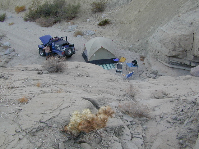
FREE CAMPING ANZA– Let us also remind you that this is the best place to camp in California for primitive car camping (camping outside of a developed campground). Open all year long – always! Super secluded, darkest skies, free and always located on the back roads. 4×4 is not required in all areas, so there are plenty of options. Blair Valley or Coyote Canyon Gardens are popular camp spots, but there are thousands of hidden canyons and washes in this giant State Park, just awaiting your tent. You’ll need a decent topographic map. For more info on free camping click here.
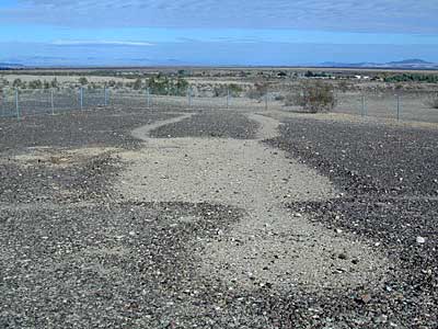
Giant figures INTAGLIOS, on desert floor, near Blythe, CA
Camping while traveling. The east-west corridors across the California deserts are well traveled routes. If you plan to camp, get to know areas managed by the California Bureau of Land Management.
BLM lands in California are often known as the ‘free camping’ option. No charge camp sites, convenient, in-route locations, many areas along major highways or interstates. Campfire permits are always required for any open fires, BBQs and campfires.
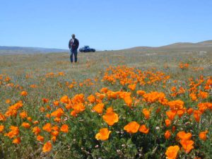
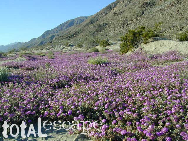
DESERT WILDFLOWERS can be found annually, February – April in most of these areas. Springtime blooms draw the crowds, but few visitors actually camp out overnight.
When searching out premium camp sites – drive slower than 50 mph & look for the brown recreation signs. Since people like to drive fast in the desert, make sure to put your hazard lights or blinkers on, so traffic knows you are slow poking. Typically dirt roads are only marked with small, thin reflectors, maybe numbers or letters, if you’re lucky.
Traffic noise will be minimal if you camp away from the main drag at least ONE mile or more. Motorhomes may not have the luxury to travel that distance; they often prefer to stay in large, level, flat pull outs, right near the pavement.
If daring to venture more than 2 miles from the pavement, be prepared for rough conditions. 4WD drive may be needed in certain spots, or in the wettest of weather. Wind is always a factor in desert regions, so keep that in mind. Deep sandy washes, tow strap anyone? No facilities, no services, no toilet. Spotty cell phone coverage. Basically – the boonies!
BOONDOCKING is the latest phrase for “open, free camping”
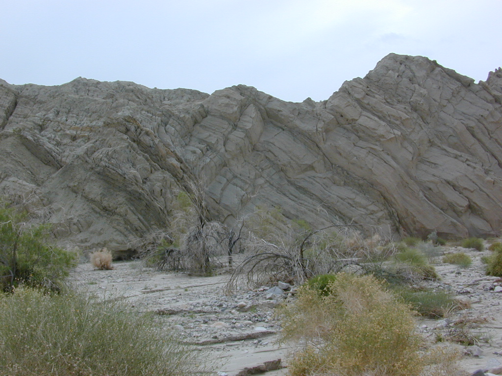
SEEKING QUIET CANYONS? stay away from the off-roaders. They usually congregate in dunes and specified OHV areas. Trails and dirt roads are for multi-purpose use, so a variety of recreation can be had. Many people use these public lands, so leave them clean and better than you found it. Boulder coves, palm gardens, primitive hot springs. There are plenty of hidden camp spots within the vast desert region of SoCal.
Several BLM lands are near Wilderness Areas. Camping is allowed close by, mountain biking & hiking are usually abundant. Off roading prohibited within Wilderness boundaries.
URLs within the official BLM site keep changing, which is why we are rebuilding our BLM pages. So you can find what you need, easily.
Of course you are. That’s why half the population relocated to California, to endlessly search for summer vacation destinations in alpine bliss and stay overnight next to a secluded mountain lake. You’ll need to leave SoCal to find these beauties, but they are out there if you have the time to travel and spend a week enjoying one. Midweek, the fish are all yours. Check out our huge California Lake List.





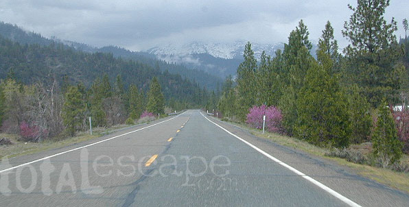
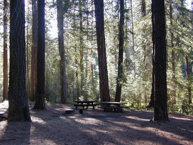
 Plumas National Forest











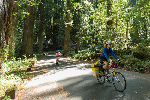
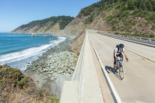












 Firstly, most National Parks in California do not allow bikes on hiking trails. The Sierra Nevada has NO National Parks that allow mountain biking on their trails. (official words are: Biking is allowed on the main roads in the parks but is prohibited on park trails.)







 Always check for local fire conditions at nearest




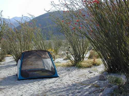


 No charge camp sites, convenient, in-route locations, many areas along major highways or interstates.