Marin County Camping
Point Reyes Peninsula / Pt Reyes Campgrounds
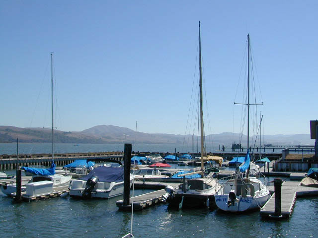
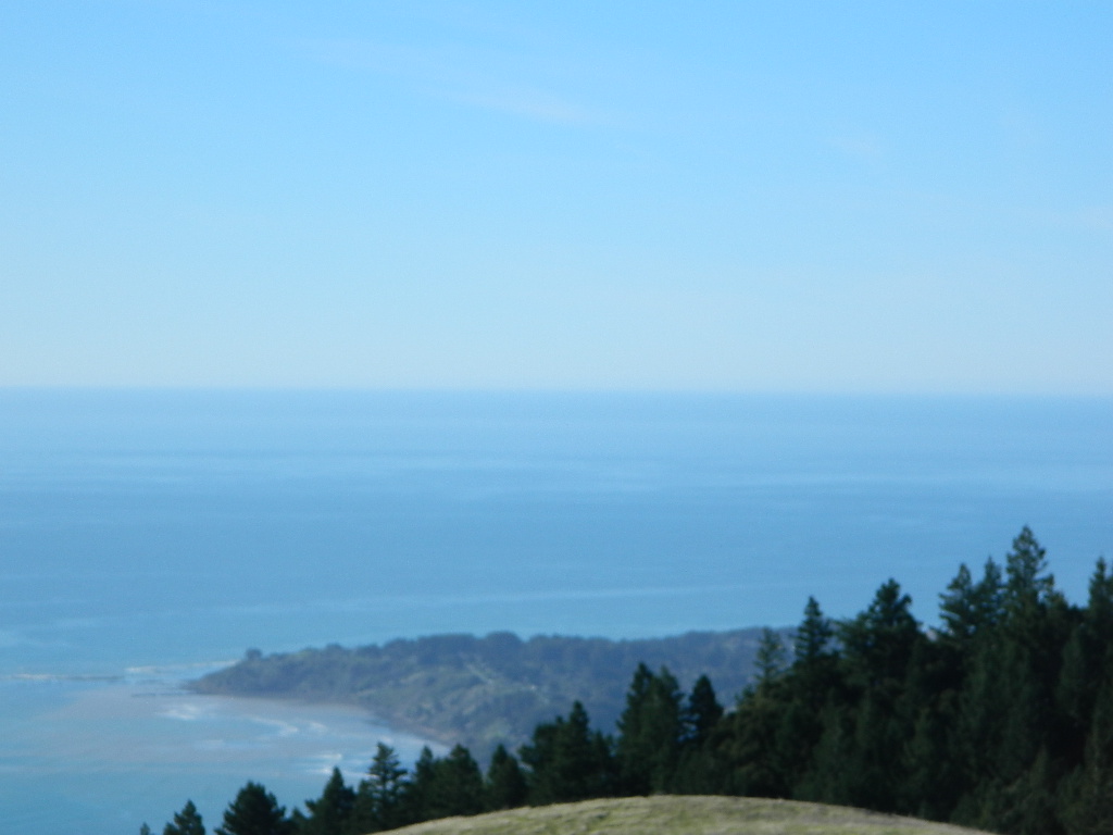 One of the most visited coastlines in the world, San Francisco – where 2 peninsulas almost meet – at the mouth of the “hidden bay”.
This is the Golden Gate to California and the Wild West.
So, you wanna escape the tourist masses… and camp out, overlooking an amazing place?
(put on your hiking boots)
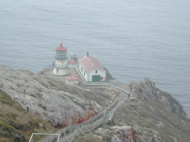
Nope, the Lighthouse doesn’t have a campground! There are no camping facilities at Muir Woods National Monument, nor Muir Beach. No camping at Stinson Beach, nor Bolinas.
 The Tule Elk Reserve has no camping at all. Tomales Bay State Park no longer has car camping or RV camping available; hike-in or boat-in
camping, maybe.
What is available for campground camping on “the Point” is listed below, with phone numbers and links for more info.

POINT REYES, CALIFORNIA
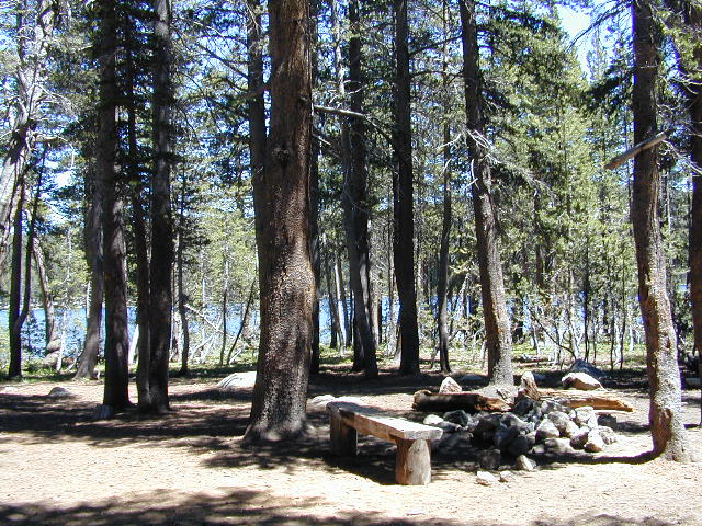
Point Reyes National Seashore Campground ![]()
reservations required
hike-in, bike-in, and boat-in camp sites only
415-464-5100
415-464-5137
Mount Tamalpais State Park Campground ![]()
reservations required
415-388-2070
- Alice Eastwood Campground
- Frank Valley Campground
- Horse Camp Campground
- Pantoll Campground
- Steep Ravine Campground
- Steep Ravine Cabins
Marin Headlands Camping ![]()
reservations required; no pets & no RVs
415-331-1540
- Bicentennial Campground (walk in)
- Hawk Campground (hike in)
- Haypress Campground (walk in)
- Kirby Cove Campground
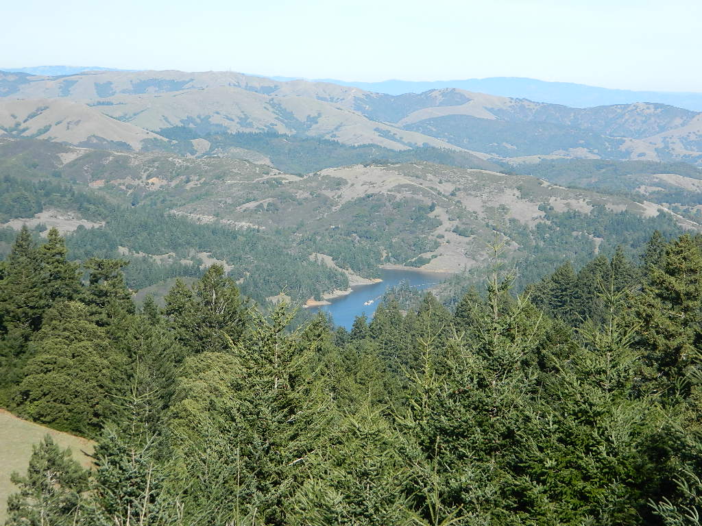
Samuel P. Taylor Redwood State Park ![]()
reservations recommended; open year round
415-488-9897
- Devils Gulch Horse Camp
- Historic Camp Taylor
- Madrone Group Camp
- Car Camping / Tent Camp
- RV max 27′
- Cabin Rentals @ SPT
Cycling, hiking, backpacking, mountain biking, kayaking and boating are all popular outdoor recreation activities.
Small towns located on the Point Reyes peninsula do have a few private campgrounds, some of which can accommodate motorhomes. Follow towns links for those.
![]()
There are no RV parks, camper trailers or motorhomes allowed in campgrounds on the steep coastal region of Point Reyes. Most of the narrow, winding roads are forbidden for motorhome travels. No shoulder, no guard rails, on many curvy roads. Great viewpoints are best when you STOP to look, off the roadway.
Golden Gate National Recreation Area ![]()
nearby towns –