Category Archives: Coastal Cliffs

Pacific Coast Fog Fest

Pacifica Fog Fest

Pacifica Fog Festival
Pacific Coast Fog Fest

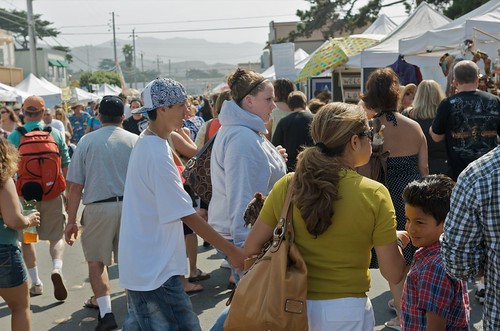
Held along Palmetto Avenue in Pacifica, is a weekend arts and crafts fair with over 190 arts and craft booths, live entertainment, plenty of tasty food and drink to please any appetite. Since 1986!

Annual event; September
650-355-4122

Pacifica, CA

pacificcoastfogfest.com


Pacifica Fog Fest 2011

Pacifica Fog Fest 9-2009

Pacifica Fog Fest

McWay Falls

mcwayfalls

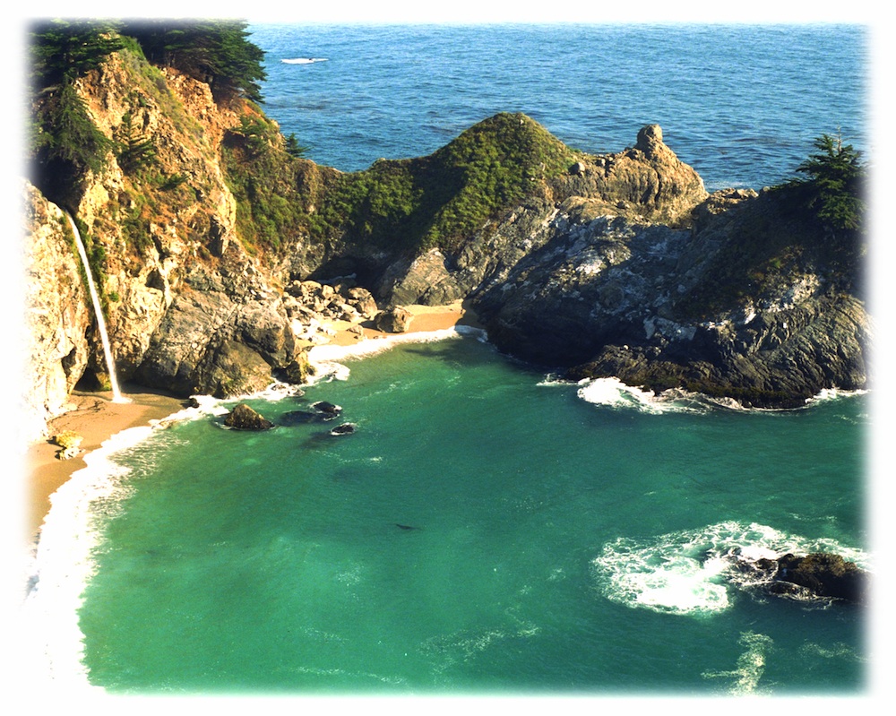
The super scenic Central Coast of California is home to numerous waterfalls, but this one on the Big Sur coast is, by far, the most well-known.

Since I camped out and slept on the cliff featured above, I thought I ought to create a post about it.

Julia Pfieffer Burns State Park is where the most photographed waterfall is located. The creek falls off of a cliff into a secluded cove, on a sandy beach just a few feet from the Pacific Ocean.

After visiting this place more than once, I knew I had to keep coming back. I even found this waterfall photo used as graphic marketing for Mexican Riveria cruises, by Costco.

But it’s not located in Mexico, nor Baja.
McWay is Big Sur!
specialview


hiker

One sunny autumn day, I called my camping pals to join me on our pre-planned camping trip to the majestic Big Sur coastline. Not just any camping spot or campground, but the two rare, hike-in campsites – located above McWay Falls. The camp reservations had been made months in advance and I was eager to leave the smog basin of L.A.

One by one, all my friends backed out of their commitment to camp that weekend. Too busy at work, a wedding or other plans interfered, home improvements, or the typical lame excuses that city folks always use not to travel locally.

…only 2 camp sites exist here, perched on a forested cliff, overlooking a private sandy cove w/ a gorgeous waterfall

I thoroughly explained to them the spectacular scenery, the unique location, the advanced reservations and fees, and the carpooling options. But not one person could go, so I went anyway.

All alone; which may have been the start of me craving to camp solo (way back in 1995).

The California State Park system has named these as environmental camps, where you must haul your gear – a half mile, on foot, in order to reach these special campsites. Picnic tables and campfire rings are provided, along w/ one vault toilet. Although a real bathroom w/ flush toilets is within walking distance, over at the main paved parking lot.

California049.JPG

INACCESSIBLE:

The picturesque sandy cove is off limits to all = campers, hikers and climbers. New fencing and signs warn visitors not to enter the small beach cove area. Sheer, steep cliffs w/ erosion are unstable and dangerous; and you may have a citation awaiting you, on your climb back up.

Accessing the cliff edges or private cove is dangerous and difficult, and totally off limits. If you wanna die trying, that’s up to you.

OVERNIGHT TIPS:

Reservations are needed to camp at this location. Contact California State Parks for booking this spot.

The ocean sounds of crashing waves on rocks is very, very loud. located just below (100 feet) the ideal camp sites. Bring ear plugs for sleeping.

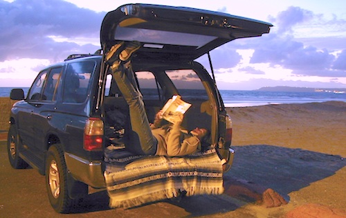
Leave food and cooking to the tailgate. Parking in the paved, forested parking lot, and not transporting food, ice chest and cookware back and forth is the lazy way. Since I was camping alone and the parking lot was secluded and full of vegetation, I decided to try minimal food at camp. Worked well for me.

Blackberry bushes are abundant around parking lot.

PANCAKES ANYONE?

Danger looms around this State Park entrance, as Coast Highway 1 drivers tend to speed by at 55 mph, on a big shady curve. Be very careful crossing the road at this location and listen for traffic before you walk.

camp

TRAILS & DAY VISITORS:

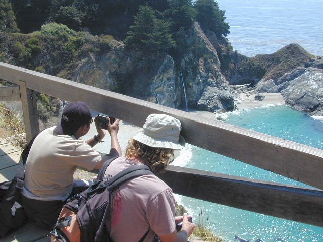
Swarms of tourists stop at this location, just to walk out, photograph and view this waterfall. Many pay top dollar (day use) to park and then stay less than an hour. The tunnel trail goes past a pelton wheel and then underneath the highway – skirting along the north shore of the cove. The State Park gate closes at sunset, so very few people will be found roaming around after sundown.

Just hiking around this park, plus the back and forth to camp and car will feel like you’ve walked many miles. There is a redwood canyon and creek hike located in the inland portion of the State Park. Mountain peaks here reach to about 3000′ elevation.

AUG 2020 UPDATE: WILDFIRES burning most of this State Park and Limekiln State Park. Not sure how  the cove looks now, or if it was affected, but expect the hills to be black, up above the highway.

Julia Pfeiffer Burns State Park

calsp52801 CA State Route 1, Big Sur, CA 93920
831-667-1112

View aerial photographs 

If there is a single most popular image of Big Sur, it is probably of the 80 foot falls seen from this trail as McWay Creek cascades onto the sandy shore. hikinginbigsur.com/hikes_mcwayfalls.html

pinetree

Even though I spent the warm weekend alone, camping on a waterfall cliff and hiking redwoods forests, I enjoyed myself and the seclusion. I did meet 2 surfers traveling in a vintage VW bus and they joined me for my tailgate dinner one evening. On  the last night, the weather turned windy and a storm came in, so the next morning I was happy to leave. So, for all the camping pals that backed out at the last minute, this 2020 post is for you.

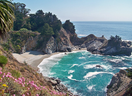
McWay Falls...again!

McWay Falls, Big Sur, CA

Sunset at McWay Falls, Julia Pfeiffer Burns State Park

see also –

Driving on the Beach

beach sunset

Driving on the Beach in California

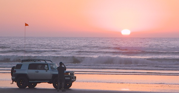
Gone are the days of ‘beach blanket bingo’ where film crews glamorized California – the beautiful people, the nice vehicles, the sport of surfing and the glorious beaches. There are very few places left on the California coast that you can actually drive a vehicle on the sand, right next to the ocean. The military bases, oil corporations and the utility companies have the front row seats to the Pacific genocide, and the rest of the population is restricted with extreme limited access.

Baja California has minimal regulations on coastal access with a car. No pavement, no signs, no cell phone signal, and no help for miles – something to consider if you get stuck south of the border in Mexico. Baja has numerous places to explore below Ensenada, but asking locals is always a favored approach. Pay attention to private property signs and always close the cattle gate (if you found it closed).

silverstrand

Southern California, no beaches allow vehicle traffic. San Diego offers a sliver of sand @ Silver Strand SB, which is a developed campground for motorhomes and car campers, located right on the beach south of Coronado, CA. Fiesta Island in Mission Bay, San Diego allows driving on sand and a favorite among active dogs, but not camping is allowed. In Los Angeles you can park a motorhome at a sandy, paved campground for a hefty overnight fee. Dockweiler Beach, right near the Chevron plant and LA sewage treatment facility. Sounds delightful, not.

Ventura & Santa Barbara Coastal Regions have many awesome State Beaches, but none allow vehicles on the sand.

AWD on the sand

Central Coast California:

  • Oceano SVRA – off road sand dunes and open camping on the beach. Day use or overnight camp fee required; near Pismo Beach, CA
  • Red, White and Blue Beach – nude beach w/ campground (now closed); north of Santa Cruz, CA

Northern California:
Lost Coast

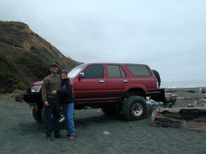
  • Usal Beach Campground – redwood creeks and forests meets coast and cliffs. Camp fee for overnight use. Long dirt road access. No RVs!
  • Black Sands Beach (OHV 4×4 trail, now closed to all vehicles) near Shelter Cove, CA

chico couple

after-the-fun maintenance tip:

Salt water and sand is very corrosive to metal – which will rust your truck or car badly. Now that you’ve had fun on the beach, we remind you to clean the underneath of your vehicle ASAP. Spraying powerful hose in your wheel wells and all underneath the vehicle. You might need to lay on the ground and get wet to do this job properly. Some car wash places might be able to do this service for you, but it will cost ya.

Marin Camping Point Reyes

Marin County Camping

Point Reyes Peninsula / Pt Reyes Campgrounds

Ocean View CampsitesOne of the most visited coastlines in the world, San Francisco – where 2 peninsulas almost meet – at the mouth of the “hidden bay”.

This is the Golden Gate to California and the Wild West.

So, you wanna escape the tourist masses… and camp out, overlooking an amazing place?

(put on your hiking boots)

lighthouse
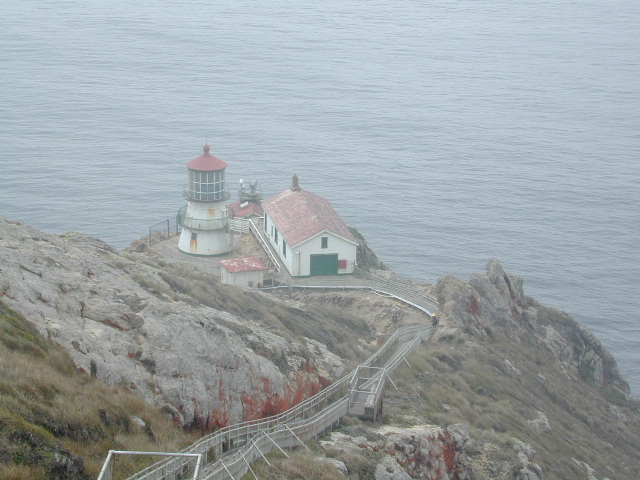
Pt Reyes Lighthouse

Nope, the Lighthouse doesn’t have a campground! There are no camping facilities at Muir Woods National Monument, nor Muir Beach. No camping at Stinson Beach, nor Bolinas.

canoeThe Tule Elk Reserve has no camping at all. Tomales Bay State Park no longer has car camping or RV camping available; hike-in or boat-in
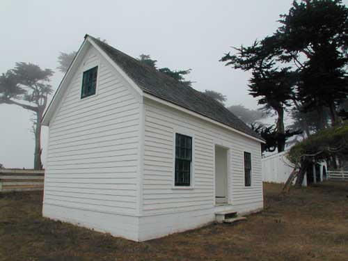
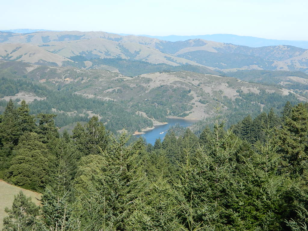
camping, maybe.

What is available for campground camping on “the Point” is listed below, with phone numbers and links for more info.

foggy seashore

POINT REYES, CALIFORNIA

Point Reyes National Seashore Campground
reservations required
hike-in, bike-in, and boat-in camp sites only
415-464-5100
415-464-5137

Mount Tamalpais State Park Campground State Parks
reservations required
415-388-2070camp

  • Alice Eastwood Campground
  • Frank Valley Campground
  • Horse Camp Campground
  • Pantoll Campground
  • Steep Ravine Campground
  • Steep Ravine Cabins

Marin Headlands Camping
reservations required; no pets & no RVshiker
415-331-1540

Samuel P. Taylor Redwood State Park State Parks
reservations recommended; open year round
415-488-9897

  • Devils Gulch Horse Camp
  • Historic Camp Taylor
  • Madrone Group Camp
  • Car Camping / Tent Camp
  • RV max 27′
  • Cabin Rentals @ SPT

DSCN4484

Cycling, hiking, backpacking, mountain biking, kayaking and boating are all popular outdoor recreation activities.

Small towns located on the Point Reyes peninsula do have a few private campgrounds, some of which can accommodate motorhomes. Follow towns links for those.

RV camping

There are no RV parks, camper trailers or motorhomes allowed in campgrounds on the steep coastal region of Point Reyes. Most of the narrow, winding roads are forbidden for motorhome travels. No shoulder, no guard rails, on many curvy roads. Great viewpoints are best when you STOP to look, off the roadway.

hike NPS

Golden Gate National Recreation Area NPS

Point Reyes National Seashore

Stinson Beach Park

Tomales Bay State Park State Park

Tule Elk Reserve

dockside

nearby towns – 


Redwood Beach Camping

NorCal Redwood Coastal Camping

Redwood Campgrounds

Del Norte County, Northern California

redwood101

There are a few special places in California where redwood trees grow right down to the shore, but it is rare. Searching for place to pitch a tent (under the redwoods at the coast) is possible, but a bit harder to find than you might imagine. State Parks usually offer the standard paved camp site. Maybe need to drive dirt roads to find redwood seclusion.

Crescent City Camping

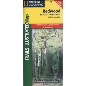
redwoodmap

Klamath Coast Camping

blue links lead to State Park pages with camp reservations.

State Park

Redwood Park Campgrounds State Parks

Redwood National Park National Park
Camping 

  • Demartin Campground
  • Flint Ridge Campground
  • Mill Creek Campground
  • Nickel Creek Campground (backcountry)

Eureka RV Campgrounds

redwood camping norcal

If you are seeking free or dirt cheap, primitive camping on the coast, then LOST COAST CAMPING on the Mendocino border is one option. Or head east, inland to the abundant National Forest. Dirt roads of the Six Rivers National Forest offer old logging roads, creeks, and secluded places to pitch a tent. Campfire permits are needed for dispersed camping, or ‘boondocking’ as some call it.

Dirt back roads can get muddy during the wet season, so know your vehicles capability and if you are unsure, check with the local rangers over the phone (preferably a ‘field ranger’) before venturing out. Remember that rain and mud are the norm, most of the year.

Fog is typical of the region. Enjoy the sunshine – when you can!

see more towns nearby –

Smith River
Crescent City
Klamath
Orick
Trinidad
Arcata
Eureka
Scotia
Ferndale
Petrolia
Garberville
Redway
Shelter Cove

Mendocino Beach Camping

Mendocino Coast Campgrounds

villageoncliff
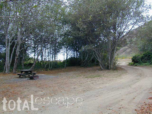
Tent camping directly on a sandy beach can be found at USAL BEACH – on remote reaches of the rugged Lost Coast, via long dirt roads (not recommended for RV or camper trailers). Numerous small, cheap, forested campgrounds can be found on the Kings Range (dirt) roads. The area is also known as Honeydew or the Emerald Triangle. The “emerald” comes from the color of the main economic staple, cannabis. Heed all warnings. Private Property signs and gates mean that you need to turn arund and look for camping elsewhere. (Before you hear the gun shots.)

The remainder of camp accommodations are State Parks and State Beaches on the Mendo coast, offering developed campgrounds and most are first come, first serve. 

There are no campgrounds inside the popular, historic village of Mendocino, CA , but two state parks are within a mile to the north and south side of town: Van Damme Campground & Russian Gulch Campground. Local KOA and a few private RV parks make up the rest of the scenic coastline.

Lost Coast Camping BLM
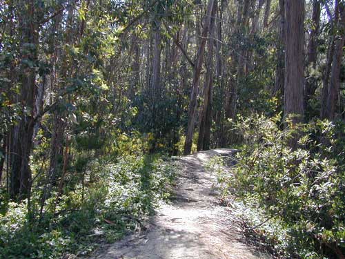
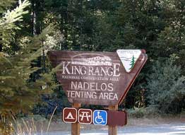
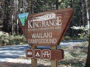
Kings Range National Conservation Area

camp on the sand

Lost Coast Bridge

Westport Union Landing State Beach

MacKerricher State Park

  • Pinewood Campground
  • Surfwood Campground

dscn0083

Fort Bragg, California Campgrounds

Cleone Campground

Hidden Pines Camp & RV Park

Jug Handle Creek Farm & Campground

Pomo RV Park & Campground

Sportsmans RV Park

Woodside RV Park & Campground

Caspar Beach RV Park Campground

Camping Mendocino Village Area

Mendocino Coast Village

Mendocino Coast –
Albion, Pt. Arena & Gualala

camp

Manchester State Park

Manchester KOA Campground

Anchor Bay Campground @ Fish Rock Beach

Gualala River Redwood Park

Redwood forest

Mendocino Coast towns:
Albion
Caspar
Elk
Fort Bragg
Gualala
Little River
Mendocino

Humboldt Beach Camping

Humboldt Camping Sites

dscn0088

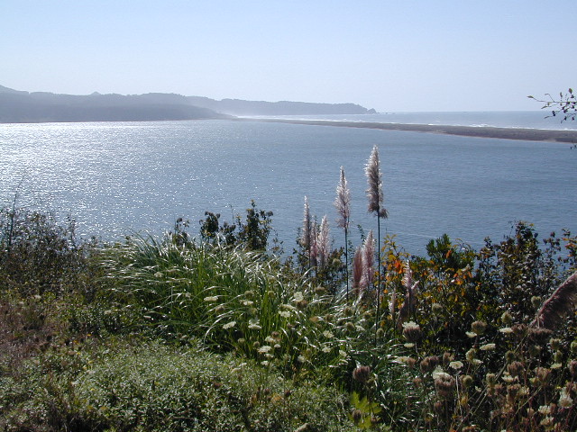
The sheer beauty of real weather, the clashing storms and ocean with the land. Cold and wet half the year (or more), Northern Cal has less people and more scenery. More nature, more land, more forests, more view points, more wild beauty – than the rest of the California coast.

Maybe more hippies too!

The fantastic coastlines of Northern California are forested, rugged, rocky and they receive a lot more rain than the rest of California. Coastal fog or deep cloud layers are common, even in warmer months.

Tall cliffs, large lagoons, rural towns, and foggy beaches. Beaches filled with small rocks. No sand? Minimal access to the coast in some areas.

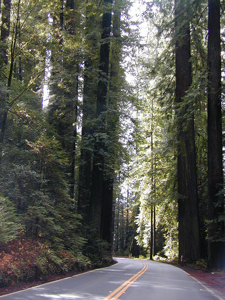
Super tall, coastal redwood trees thrive along this oceanfront wildness. They are located just a skip away from the sea. Most groves located miles inland, near US 101 highway. Close enough, but not out there on the windy beach, exposed with the elements.

redwood101

NorCal Coast Campgrounds are located generally along river ways, near redwood forests and near paved roads. Redwood Campgrounds are all over up here. Literally, everywhere. Some camps are better suited for RV campers than others. A few parks have walk-in or hike-in access to camp sites.

Several redwood parks are 20 miles from the coast, so know the exact location before you book a campsite online. Driving “over to coast for a quick day trip” is no easy task, since routes can be narrow backroads with many curves. Pavement, if you’re lucky.

listed below:
campgrounds actually located at the coastline are labeled in bold text

When the weather is warm and sunny, people – flock to the hidden coves, rugged beaches, or they float, kayak, fish or raft on the rivers, or the enjoy long day hikes.

blue links lead to State Park pages with camp reservations.

State Park

NorCal Redwoodsstate parks
State Parks 
& Campgrounds

Humboldt Lagoon State Park

  • Stone Lagoon Campground
  • Dry Lagoon Hike-in Sites

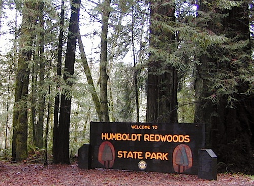
Humboldt Redwoods State Park & Campground camp

Little River State Beach Campground

Patricks Point State Park Campground  camp

Prairie Creek Redwood State Park camp

  • Butler Creek Walk-in Camp
  • Elk Prairie Campground
  • Gold Bluffs Campground

Richardson Grove State Park camp

humboldtSP

Some redwoods parks are open year round, others only in summer months. Reservations for campgrounds is common along this desired vacation region of California. River kayakers, mountain bikers, tent campers, avid hikers, road trippers and RV campers.

camps actually located at the coastline are labeled in bold text

California Redwood forests are found along the NorthCoast; coastal redwoods. And in the Sierra Nevada mountains; those big redwoods are called Sequoias.

see more big, old trees

redwood parks

Humboldt County Parks with Camping


Lost Coast Camping BLM BLM camping
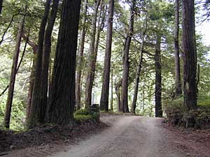
USA Lumber Company

USA Lumber (historic site) & Campground

Usal Beach Campground
(on the border of Mendocino and Humboldt Counties)

Flint Ridge Campground
(on the border of DelNorte and Humboldt Counties)


redwood parks

Black Sands Beach, California

Humboldt towns along the coast –

(listed from south to north)


Lost Coast Drive Dirt Roads
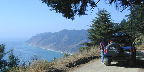
Lost Coast: Drive Dirt Roads – USAL ROAD# 431, this road is the hard left off HWY 1, just as it peels away from coast and heads into redwoods and US 101. Follow this dirt and gravel scenic wonder drive out to Usal Beach Campground, Sinkyone Wilderness and Shelter Cove. The pavement picks up again near Honeydew, a rugged 30-something miles north. Real 4×4 may be needed in wet weather.

Sinkyone Wilderness

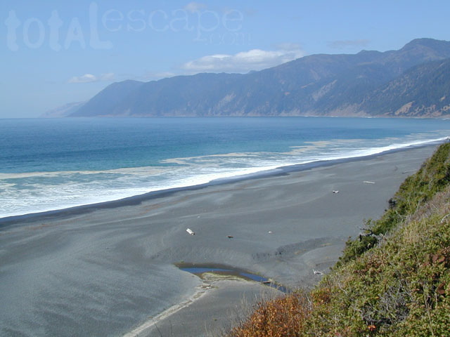
Lost Coast of California

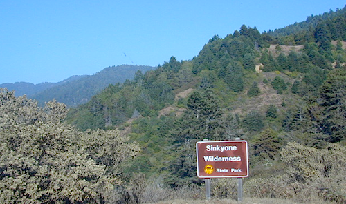
Lost Coast California Sinkyone Wilderness State Park

NPS  King Range National Conservation Area

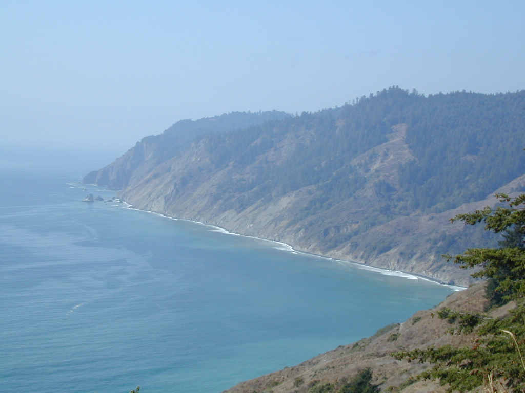
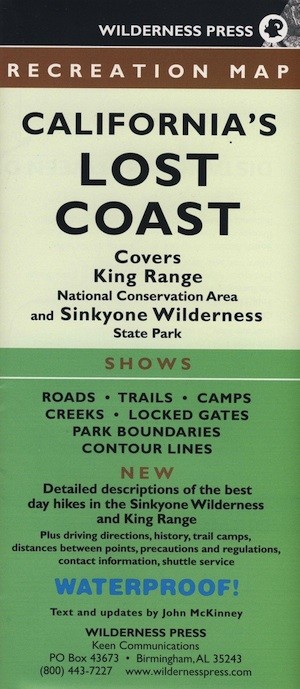
Redwood groves and wilderness meet the Pacific Ocean at the infamous Lost Coast of California. Northern California is NorCal – steep trails, creeks, waterfalls, ocean views, and coastal cliffs. Mendocino and Humboldt County has numerous redwood parks and picnic grounds located near Pacific Coast Hwy 1 & US Hwy 101. This particular wilderness area is located in between Westport and Shelter Cove, just west of Leggett, CA. Situated on the west side of US Hwy 101 and only accessible via a long dirt road. The Sinkyone wild lands are managed under the California State Park system.

Sinkyone Wilderness hike Ranger Station 707-986-7711

Sinkyone Wilderness access –

North end – Needle Rock: 36 miles southwest of Garberville & Redway, California. Briceland Road west from Redway, this road becomes Mendocino County Road 435. The last 3.5 miles are unpaved, steep, & narrow. South end – Usal Beach: Approximately one hour north of Ft Bragg on PCH or 15 miles west of Leggett on PCH from Highway 101. Look for mile marker 90.88 on PCH. Turn north on small dirt road; 6 miles to Usal on unpaved, steep, narrow road.

ROADS MAY BE IMPASSABLE IN WET WEATHER. RV’S & TRAILERS NOT RECOMMENDED.

  View Larger Map

dscn0147 Usal Campground

LOST COAST CAMPING

Usal Campground – USA Lumber Company staged a logging operation here in the early 1900’s. Now this remote spot is a popular back road campground accessibly only by a long dirt road drive. 4×4 and car camping only; No trailers or RV campers!

NEARBY TOWNS

Wilderness State Park

Sonoma Beach Camping

Sonoma Coast Campgrounds

Gerstle Cove @ Salt Point
Gerstle Cove @ Salt Point SP

tent camp RV camps

Sonoma Coast State Park  State Park

  • Bodega Dunes Campground
  • Wrights Beach Campground

dscn0045

Salt Point State Park Camping State Park

  • Woodside Campground
  • Gerstle Cove Campground

Fort Ross State Historic Park 
(a Russian fur trading fort from 1812)

  • Reef Campground – 21 camp spots
    No RV hookups. No reservations
    [2018 CLOSED for repairs]
    707-847-3437

coast

Sonoma County Parks Campgrounds

Private campgrounds @ Sonoma Coast –

Sonoma coastal towns –

Woodside Campground
Woodside Campground @ Salt Point State Park

California Lighthouses

California Lighthouse Vacations

Historic lighthouses below are vacation destinations that offer overnight stays at the lighthouse, or lodging close by.


CENTRAL COAST CALIFORNIA


Avila Beach, CA


SAN FRANCISCO AREA


Montara, CA


Pescadero CA


Point Reyes, CA


MENDOCINO COAST


Mendocino, CA


Point Arena, CA


NORTHERN CALIFORNIA


Trinidad CA

Monterey Campgrounds

Monterey Bay Campgrounds

Monterey Beach Camping

The Monterey Bay of California is located south of the San Francisco peninsula, and north of the rugged Big Sur Central Coast. This is a popular region for tourism, coastal villages w/ shops and restaurants, parks and beaches, farms and farm stands.  With Santa Cruz mountains and redwoods as the backdrop, this coastline is also highly residential.

Camping along this coast is limited mostly to State Parks and few private RV park campgrounds. No primitive beach camping is allowed on State Beaches, no hike-in camp sites, no hidden cove tent sites, nor secret dirt roads with views over the Pacific. This is a very developed beach and bay, with the 4-lane freeway, main artery US Highway 101, bordering the entire shore.

If you are looking for free and a more rugged, scenic camp – head south to the Big Sur Coast, to find a dirt road camp on the ridge. The sweetest ocean view hike-in camp sites can be found to the north, in the Marin Headlands of Point Reyes, which can be found under Marin Camping.

blue links lead to State Park pages w/ camp reservations.camp

Monterey Area Campgrounds

(listed from south to north)

Monterey Pines RV Campground (Navy)

Monterey County Fairgrounds RV Park

Marina Dunes RV Park

Sunset State Beach State Parks
South Campground

Manresa State Beach State Parks
Uplands Campground

Seacliff RV Park

Seacliff State Beach Campground State Parks

New Brighton State Beach State Parks

Santa Vida RV Park, Santa Cruz, California

Costanoa Coastal Lodge & Campground, Pescadero

Pelican Point RV Park, Half Moon Bay

Half Moon State Beach State Parks
Francis Beach Campground

camping monterey

woods

seaside towns along coast at
Monterey Bay up to San Francisco –

(listed from south to north)

Big Sur Redwoods

big sur cabinsBig Sur Redwood Cabins & Riverside Cabins Big Sur
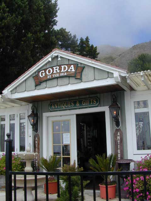
Do you have visions of cabins perched on rugged cliffs, along the Central Coast? Well, sorry to say, there are none for rent. Those are all private homes.

Most vacation cottages are secluded & tucked back, deep inside a redwood forest canyon nearby. Campground cabins in Big Sur span from yurt rentals on the cliffs, to rustic one room rentals in the fern forest.

The Pfieffer Big Sur State Park has cabins available, several other coast resorts offer stream side cottages, plus Ventana has a luxury Campground inside a redwood grove.

see all Big Sur lodging

self guided redwoods tour on Big Sur back roads

Gorda Cottages

Torrey Pines Coastal Hiking

torrey pines hiking
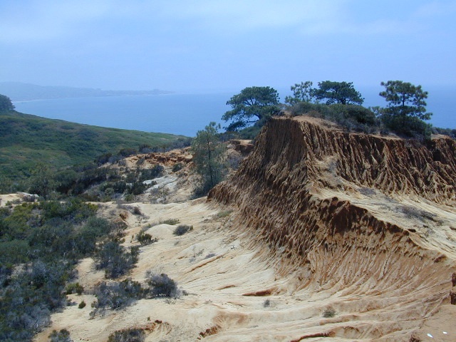
Torrey Pines State Reserve is in San Diego County – just south of Del Mar CA. Easy access from I-5 & perfect for hikers seeking exercise – instead of sitting in traffic on the freeway. The point you see in the distance is La Jolla.

Ocean, cliffs, pines, beaches & sunny San Diego weather.
What could be better for an after work stroll?

There are numerous pine forest groves, with hiking trails leading down the cliffs to tide pools & beautiful beaches. You could easily spend a whole day exploring this coastal park. There is a Visitor Center, guided nature walks & paved parking lots. The lagoon region has a train track running through the valley east of it – and the tracks meet the coast nearby. The rocky beach to the north is very popular with surfers & there is even surfing contest held here annually. Plenty parking along this stretch too. If you wanna avoid the park fees, you can park along PCH (Pacific Coast Highway) & walk the beach to the south. The cliffs make for seclusion & many sunbathers love this area.

On occasion, if the conditions are right, the San Diego RED TIDE will appear, which can only be seen at night. The kelp beds glow with sparkles of green & blue light (not red) w/ the phytoplankton …..as the waves come crashing toward the shoreline. More info on red tides on Wikipedia

Del Mar CA

TORREY PINES TRAILS