Tag Archives: walk-in

Walk-In Camp Sites

MIneral KIng Walkin Camps

Walk-In Camps

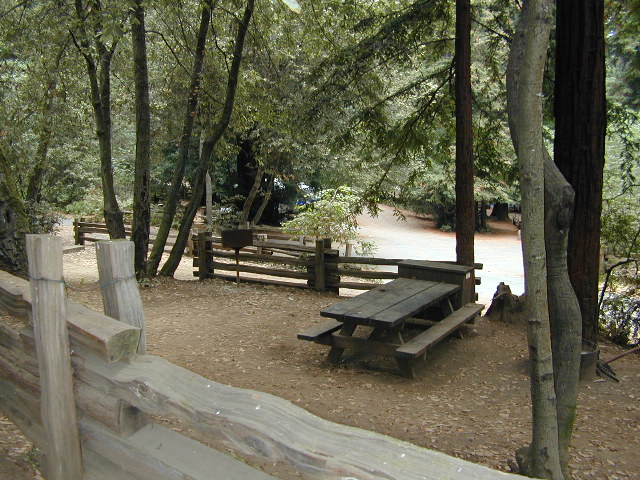
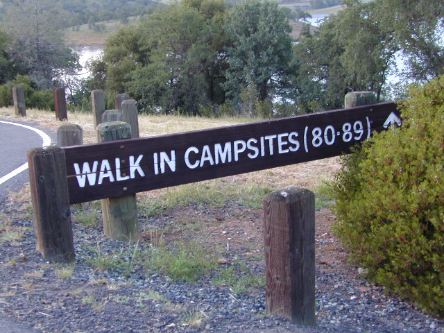
Below are developed campgrounds in California that have walk-in camp spots available. Vehicles are parked and you must carry your gear into the camp site (usually a short distance, but can be up to a half mile).

California Campgrounds with more than a 1-mile trek are not included in this list below. Areas such as – Catalina Island, Crystal Cove SP, Angel Island SP, Point Reyes National Seashore, indeed have many hike-to camps, but most are measured in miles (one way).

walk in campsites are perfect for –

  • people who wish not to see cars @ camp
  • people who prefer less noise while camping
  • physically fit folks, who want exercise
  • backpackers, who plan to hit the trails soon
  • avid hikers, who may be out day hiking
  • cyclists, just passing through
  • mountain bike campers
  • one nighters, travelers who only stay one night
  • late comers to the campground

    (hint: these are usually the last campsites to fill up)
NewMelones WalkIn Camps

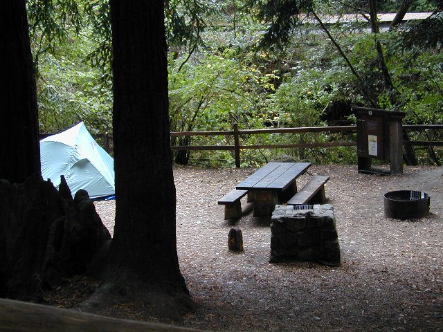
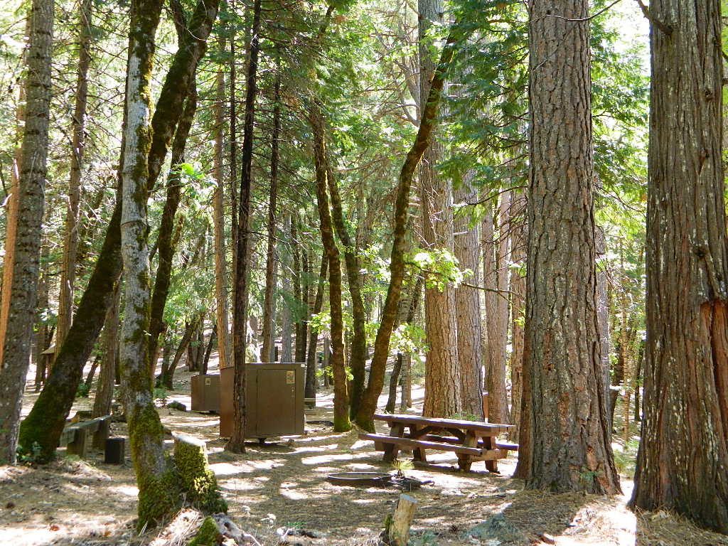
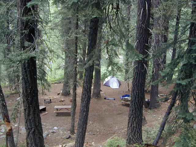
campWalk in campsites are often located away from car campers & RVs. Some camp sites may have more privacy, tucked away in trees, while others have shared community area with fire pits and/or barbecues. All camp sites will have picnic tables and a some kinda toilet nearby. Bear boxes may be available for storing food properly. Sharing these food storage boxes with neighboring campers is common practice.

Campgrounds with walk-in sites range in elevation from sea level marshlands to high altitude alpine lakes. Most of these camps listed below are located inside developed campgrounds with overnight fees. Many are small campgrounds, while others are large hubs of activity. Some may be smaller campgrounds, with just a few camp sites. The most popular places can be reserved, with the links provided.

Many parks can also have day use fees, so know where you park and what time span is allowed. Ask the campground host if needing assistance. Some campgrounds lock their gates at sunset and do not permit entry at night. Others may not allow campers to check in anytime after sundown. Know their rules before you make reservations.

hikerIf you plan on not making camp reservations; make sure to have a plan B or C choice camp – in case your desired campground is already full. Many popular destinations can fill up fast (by noon in the summer).
spacious camps
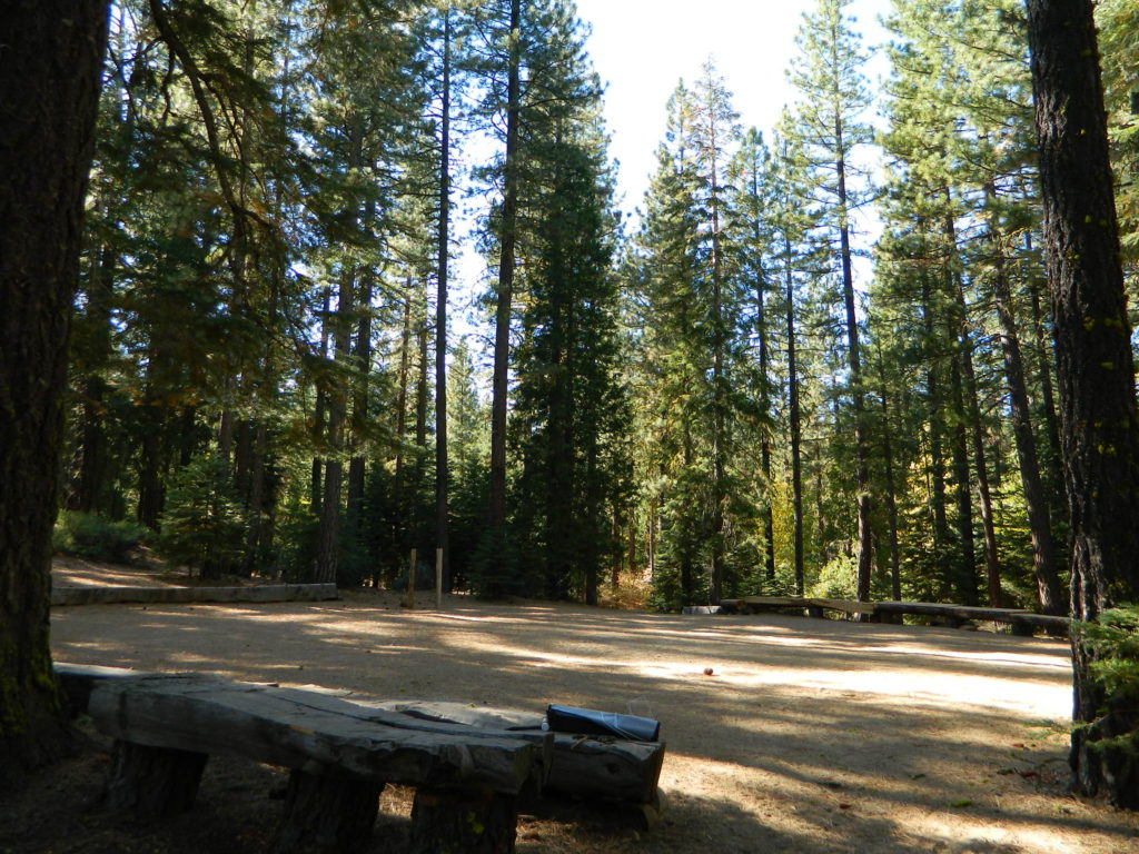
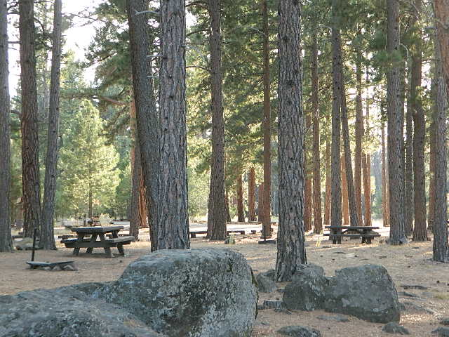
Spacious Camp @ Aspen Grove Campground, Eagle Lake, CA

Walk In Camps in California

hikes campmtb

Andrew Molera State Park, Beach access, North Big Sur Coast
Anthony Chabot Regional Park, East Bay San Francisco
Aspen Grove Campground, Eagle Lake, CA
Austin Creek SRA, Armstrong Redwoods, Guerneville CA
Azalea Cove Campground, Union Valley Reservoir

Bear Campground, North Angeles National Forest
Big Basin Redwoods State Park, Santa Cruz Mountains
Black Rock Campground, Little Grass Valley Reservoir
Blue Lake Campground, PG&E 4×4 @ i80 Donner Pass, Truckee, CA
Boise Creek Campground, Six River National Forest
Bottchers Gap Campground, North Big Sur Mountains
Butano State Park, Pescadero, Santa Cruz Mountains
Butler Creek Camp, Prairie Creek Redwood SP

Carr Campground, i80 Donner Pass, Truckee, CA
Cherry Hill Campground, Butte Creek, Lassen National Forest
Chilcoot Campground, Frenchman Lake, Plumas NF
China Camp State Park, SF @ San Pablo Bay, San Rafael
Chula Vista Campground @ Mount Pinos, Los Padres NF mtb
Clear Lake State Park, North Wine Country, Kelseyville CA
Cold Springs Campground
,
Mineral King @ Sequoia NP
Cool Springs CampgroundPG&E Camp, Butt Valley Reservoirhike
Cottonwood Pass / Cottonwood Lakes
on Horseshoe Meadow Rd, PCT Eastern Sierra @ Lone Pine

coolsprings

Dark Day Campground, New Bullards Bar Reservoir, N Sierra
Donner Memorial State Park, Interstate 80 @ Truckee CA

Dry Lagoon Walk-In, Humboldt Lagoons State Park
Dry Gulch Campground, Sierra NF @ El Portal
18 mi from Yosemite Valley

El Capitan State Beach, North Santa Barbara Coast

Gaviota State Park Campground, North Santa Barbara Coast
Glory Hole Campground @ New Melones Reservoir, Gold Co
Granite Flat Campground, Truckee River @ Lake Tahoe
Gualala Point Park, 6 sites @ Gualala River, Sonoma Co Park

Half Moon Bay State Beach Campground, Half Moon Bay

Headquarters Campground, Salton Sea SRA @ Mecca CA
Henry W Coe State Park, Santa Cruz Mountains
(wilderness permits required)

Horseshoe Meadow, Cottonwood Pass trailhead, Inyo NF

Intake Campground, Bishop Creek, Eastern Sierra

Jackson Flat Walk-In Camp PCT @ Angeles NF
Jedediah Smith Redwoods State Park Campground, NorCal
Julia Pfeiffer Burns State Park, Big Sur Coast

Kidd Lake Group Campground, PG&E @ i80 Donner Pass, Truckee, CA Kayak, canoe, hike-in camp sites

Kirby Cove @ Golden Gate National Recreation Area
5 tent camp sites on a bluff over the mouth of San Francisco Bay; reservations required

Klamath National Forest –
small campsites on a river

Lassen National Park – Southwest Campground 6700′ elev.
Liberty Glen Campground @ Lake Sonoma Recreation Area
Limekiln State Park Campground, Hwy 1 Big Sur Coastline
Lone Rock Campground @ Union Valley Reservoir

MacKerricher State Park Campground, Mendocino Coast
Macumber Reservoir,
PG&E Camp, West of Lassen NPfishing
Manresa State Beach Campground
, Monterey Bay
Marmot Rock Walk-In Camp, Courtright Reservoir
Mary Smith Campground
@ Lewiston Lake, Trinity River

McCabe Flat Campground BLM @ Merced River Yosemiteblm camps
Merced Recreation Area, Merced River, Mariposa CA
3 small, developed campgrounds on dirt road
Briceburg, Yosemite Hwy 140

Mesa Campground, Silverwood Lake SRA, Cajon Pass (I-15)
Mill Creek Campground @ Bucks Lake, Plumas NF
Mill Creek Campground, Del Norte Coast Redwoods SP
Montana de Oro State Park, Morro Bay, San Luis Obispo mtb
Mosquito Flat Trailhead Camp, One night limit! Camp is for backpackers heading into back country at the end of Rock Creek Road, Inyo NF hike

Niagra Creek Campground, OHV 4×4 trails, Stanislaus NF
North Battle Creek Reservoir
PG&E Camp, West of Lassen
North Grove Campground, Calaveras Big Trees State Park

Oak Bottom Campground

Oak Bottom Campground @ Whiskeytown Reservoir NRA
(*wildfire 2018)
Onion Valley CA

Onion Valley Campground, Eastern Sierra @ Independence, CAhike

Pantoll Campground, Mount Tamalpais State Park, Marin
Pfeiffer Big Sur State Park Campground, Big Sur Coast
Pigeon Flat Campground, Stanislaus River, Dardanelle CA
Pomo Canyon Walk-In Camp, Sonoma Coast State Beach
Portola Redwoods State Park, Santa Cruz Mountains
hikePrather Meadows Camp, Bunny Flat @ Mount Shasta
Providence Mountains SRA @ Mitchell Cavern, Mojave

Railroad Flat Campground BLM  @ Merced River
Briceburg Yosemite Hwy 140blm camps

Redwood National Park, NorCal Coast
(no reservations, no fees. open all year) NPS

  • Flint Ridge Walk-In
  • Nickel Creek Walk-In
chulavistacamp
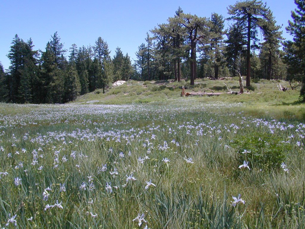
CHULA VISTA CAMPGROUND – Wild Iris Meadow at Mount Pinos

Refugio State Beach, North Santa Barbara Coast
Rock Creek Campground
, Eel River @ Standish-Hickey SRA
Roxie Peconom Campground, Bizz Johnson Trail, W Susanville mtb
Rucker Lake Campground, PG&E @ i80 Donner Pass, Truckee, CA
Russian Gulch State Park Campground, Mendocino Coast
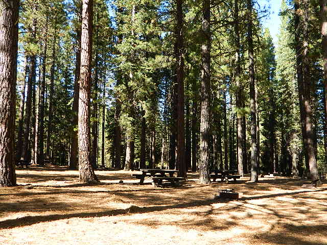
shadycamp
Roxie Peconom Susanville, CA

San Clemente State Beach, Orange County Coast
Sanborn Campground, Skyline County Park, Saratoga CA
Sand Flat Campground, Clark Fork, Carson Icerberg Wilderness
Sawmill Walk-In Campground, 9800′ elev @ Tioga Pass, E Yosemite
Silver Creek Campground, Truckee River @ Tahoe
Southfork Recreation Camp
, south shore @ Lake Isabella, CA

Southwest Walk-In Camp, 6700′ elev @ Lassen Volcanic NP
Squaw Leap Campground, San Joaquin River, Auberry CA
Stillwater Cove Regional Park, N of Fort Ross, Sonoma Coast

Table Mountain Group Camp, Bishop Creek Canyon, Inyo NF

Tahoe National Forest
Donner Area Camping Lakes

NFS 530-265-4531

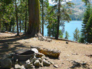
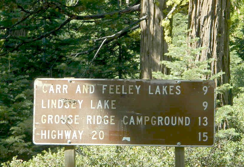
  • Carr Lake Campground
    10 miles north of Highway 20
    6,700′ elev
    5 walk-in campsites
  • Rucker Lake Campground
    6 miles north of Highway 20
    5,462′ elev
    7 walk-in campsites
  • Sterling Lake Campground
    9 miles north of Interstate 80
    7,000′ elev
    6 walk-in campsites

Toad Lake Walk In Camp, PCT @ Shasta National Forest
Tuolumne Meadows Camp, Yosemite National Park
(reservations & wilderness permits required)

Union Reservoir Walk In Camps, Arnold CA

Union Valley Reservoir – Eldorado National Forest

  • Azalea Cove Campground
  • Fashoda Campground

Van Damme Redwoods State Park, Mendocino Coast

Walker Pass Campground, PCT, East of Lake Isabella CA
Whitney Portal Trailhead Camp, Mount Whitney, Eastern Sierra

Willow Placer Campground BLM, Merced River Recreation Area
Briceburg Yosemite Hwy 140
Woodside Campground, Salt Point State Park, Sonoma Coast
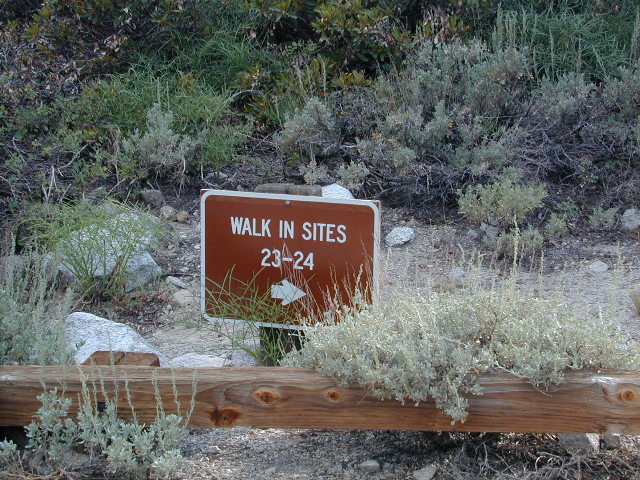
OnionValleyWalkIns

Walk in campgrounds are considered ‘tent camping‘, as opposed to ‘car camping‘, which is literally camping next to your vehicle. This type of hike-in camping may also be referred to as ‘trailhead camping‘, as many ideal hikes begin at these prime locations. Boat-in, bike-in or hike-in camp sites are also available at some of these locations.

Samuel P Taylor Campground

San Francisco Redwoods Camping

Samuel P Taylor State Park
Samuel P Taylor Campground

San Francisco Redwood State Park

SamP is one of the large redwood parks north of San Francisco, CA. Coastal redwoods can be found in the mountains above Santa Cruz, as well as on the Point Reyes peninsula in Marin County. Hiking in the region is amazing w/ enchanted forests, dramatic fog, waterfalls, numerous trails in every direction.

califrepublic

One of the best developed campgrounds in the region for car camping and RV campers.

Consisting of several camp loops, a group camp site, a horse camp and hike-in or bike-in camp sites. There are even cabin rentals in the park. This park has several camp sites that can accommodate visitors with disabilities. Reservations are highly recommended, especially during summer months. Be prepared to pay hefty fees for overnight use.

RVMax RV Camper Length: 31′
Max Trailer Length: 27′

  • Creekside Loop
  • Orchard Hill Loop
  • Madrone Group Site
  • Madrone Cabins
  • Horse Camp
  • Hike & Bike in Sites
    (8 person max)

Marin Redwoods
CA State Park

Samuel P Taylor State Park
59 developed campsites
+ cabin rentals
Sir Francis Drake Boulevard
415-488-9897

15 miles W of San Rafael, CA

Samuel P Taylor

camp

hiker

nearby towns:

State Park link

nearby parks:

  • Mount Tamalpais State Park
  • Point Reyes National Seashore
  • Tomales Bay State Park

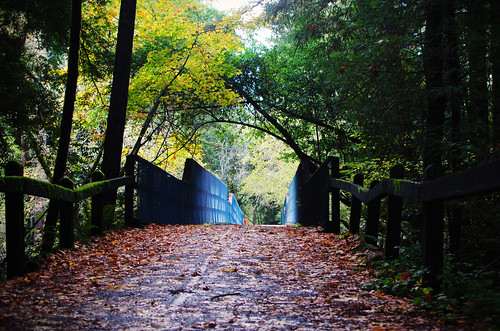
Bridge

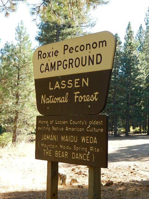
Roxie Peconom Campground

Lassen Forest Road #29N03
Roxie Peconom Camp

Roxie Peconom

MAIDU INDIANS: Roxie was a native medicine woman and lived over 100 years in these parts. Read more here

AUG 2021: Closed due to the Dixie Fire

Wild onions were found along the top of Thompson, Diamond, Eagle Lake, Willard, and Mountain Meadows.

Lassen National Forest – W of Susanville, CA

This pine forest is home to the developed NFS campground – which has been named after the tribal elder. The camp location is a sacred spot to the local native tribes. Just above Susanville, CA on the west side, south of the highway; forested w/ creeks and aspen groves. Autumn colors can be found in the creek beds.

Dirt roads all over the place, leading to far away destinations like Diamond Mountain, Antelope Lake and Taylorsville. The backcountry region was recently damaged by wildfires: 2020 Sheep Fire and now the Dixie Fire 

pinetree

FREE CAMPING – W Susanville, CA
en route camp

Less than 3 miles of dirt road #29N03 driving will get you back off the highway and into this forest, Hwy 36 W of Susanville. Bring the mountain bike for abundant usage and a week of exploring.

Only 13 miles to downtown Susanville, via the back road. Chaney Creek Road is a main dirt road near Highway 36, which parallels the river, the red rock bluff and the road, downhill into town.

This FREE campground is popular with the hipcampers and pediums – and gets rave reviews; small RV campers do like to use this camp spot, if they don’t mind a little dirt road driving; they’ll need to park in the dirt parking lot, 40+ feet away (not adjacent to the picnic tables or fire rings).

  • camping

  • ceremony

  • drum circle

  • fishing

  • hiking

  • horseback trails

  • hunting

  • mountain bike

  • off road trails

Roxie Circle
Bear Dance Circle @ Roxie

roxie seating

walk in campground, and close to town

hiker

Shady Campground

Walk-In Campsites @ Roxie

AUG 2021 – CLOSED due to the Dixie Fire

Roxie P Campground
Susanville, CA – Lassen NFNFSlogo

• Elevation: 4,800′
• Number of Sites: 10 (walk-in only)
• Vehicle Accessibility: any
• Campsites Reservation: No
• Campsite Fee: No
• Length of Stay: 14 Days
• Season: open all year
• Trailheads: Diamond Peak


shadycamp

Flat forest and easy to walk. Shade and pine needles, picnic tables and group fire pits. All facilities are encompassed with a  sturdy wooden, fence line. No RV or trailer access to camp sites. Mountain bikers like this spot and so do horseback riders. Travelers passing through eastern California will welcome the convenient location, plus the ease of dirt road.

The Roxie Camp is situated near Willard Creek on the south side of the Highway 36, close to Susanville. Willard is a feeder stream into the Susan River, which flows into town.  Quiet camp, most of the time. If a big family is camping here w/ children, or there is a tribal gathering, it could get loud.

PLAN B –  head over to Goumaz Campground NFS, due north. Located in between, near the junction of Hwy 38 & 44. Near the railroad tracks and the Susan River. Smaller camp near the NRT (National Recreation Trail), the  Biz Johnson Trail (BLM).
2021, this camp is CLOSED!

so find someplace else: PLAN C
(make sure any camp is open by calling rangers before traveling).

Fire Lookout hike near Milford Grade

Susanville Hiking Trails PDF
BLM Southside Trails
mountain bike, hike, horseback

aspenroxie
Aspen trees at Roxie in Autumn

dirtbikes

off road Susanville

OHV activity may be passing the developed campground, but are discouraged – due to the layout of camp. Plenty spots for ‘froaders further out – at the end of the road. Way back there!

Jeeps, 4×4 trucks, quads, dirt bikes, anglers and hunters travel these dirt back roads, as well as rangers, campers, horses, mountain bikes, and big logging trucks. 25 mph slow is always best. Daytime headlights help you get seen in the shadows. Forest is dense and road conditions are ever changing.

Forest Road #29N03 is Gold Run Road, the bumpy dirt road – that skirts around Diamond Mountain on the south side. Lots of one single track or one-lane dirt roads, which will require a National Forest map or a decent topo map to navigate properly.

OHV is common in these areas, but not so busy at this camp. If you seek peace and quiet and solitude, know how to read a map and where the noise is expected to be. Avoid the OHV areas, if you want to nap in the hammock and read a book.

Wild red necks with guns live in NorCal, so pay close attention to property lines and trespassing signs.

ranger

USFS Ranger Station is located on the west side, just outside of town, on the wide downhill grade on the highway @ the Eagle Lake turnoff. Cal Fire station is also located along this stretch of road.

Lassen National Forest
Ranger Station USFS

CA-36 @ Eagle Lake Rd
Susanville, CA 96130
530-257-4188

Cal Fire Station
697 CA-36, Susanville, CA 96130
530-257-4171

fish

NEARBY TOWNS:

Chester, CA
Lake Almanor, CA
Susanville, CA
Westwood, CA

Susan River is nearby, but not really walking distance from Roxie Camp

eagleclouds
Large Eagle Lake, N of Susanville, CA

New Bullards Bar Reservoir

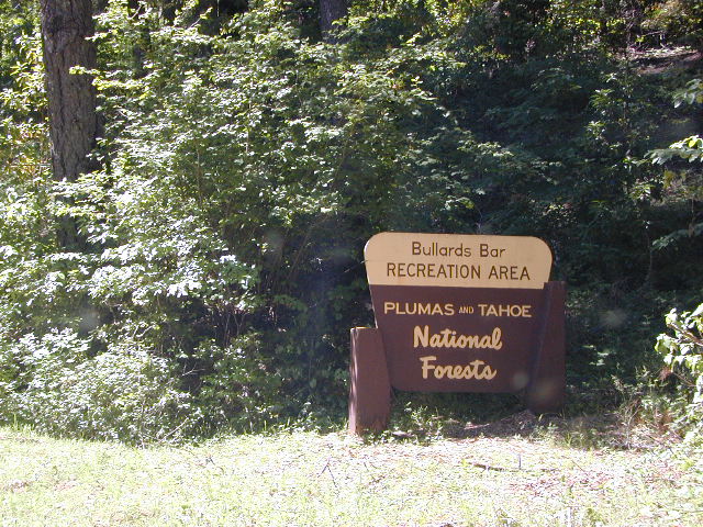
Bullards Bar California

Bullards Bar Boat-in Camps

BULLARDS BAR Dark Day is a lakeside walk-in campground on a small reservoir, located deep in the Gold Country foothills. Flush toilets and hiking trails, kayak rentals and fishing.

fish

West of Highway 49. Huge dam for hydro-electric power. Minimal roadways along the lake and steep canyons make for optimum hiking and boating. Floating and fishing. Relaxing in the mountains, with fresh water!

On most maps the official name of this lake may read New Bullards Bar Reservoir, or Lake Bullards Bar, but locals just call it simply – Bullards Bar!

Sierra Nevada Foothills. Yuba River, California.

Northern Gold Country, California

Near Camptonville, West off Hwy 49
in between Oroville and Nevada City, CA

Located not far from historic Downieville, Bullard’s Bar is an excellent base camp location for exploring the upper reaches of the Gold Country region. Old mining locations, museums, a covered bridge, various parks, Yuba River, Sierra Buttes, Lakes Basin. Grass Valley & Nevada City are also nearby. Mountain bike trails, river rafting and hiking all around.

New Bullards Bar

lake surface area: 969,600 acrespaddle sports

lake elevation: 2000′ above sea level

lake county: Yuba County California

roads around lake: Marysville Road (south of lake and east side w/ Hwy 49), Moonshine Road (south of lake), Oregon Hill Road (west side), Pendola Road (north side), and Forest Route #47 (dirt road on north side)

boatramp

nearest towns:

Bullards Bar
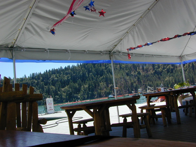
Shade @ the marina, just when you needed it most

Yuba River Recreation

camp

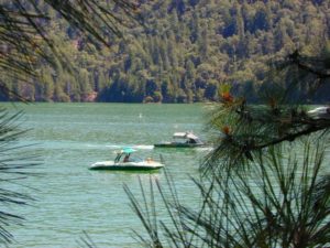
Bullards Bar water is a beautiful teal color of greenish-blue – due to heavy mineral content in the local soil (red dirt) and the dense forest above.

This water comes down the north fork of the Yuba River, as snowmelt from Lakes Basin Recreation Area, the Sierra Buttes, and the Yuba Pass on Highway 49. Northern Gold Country, California.

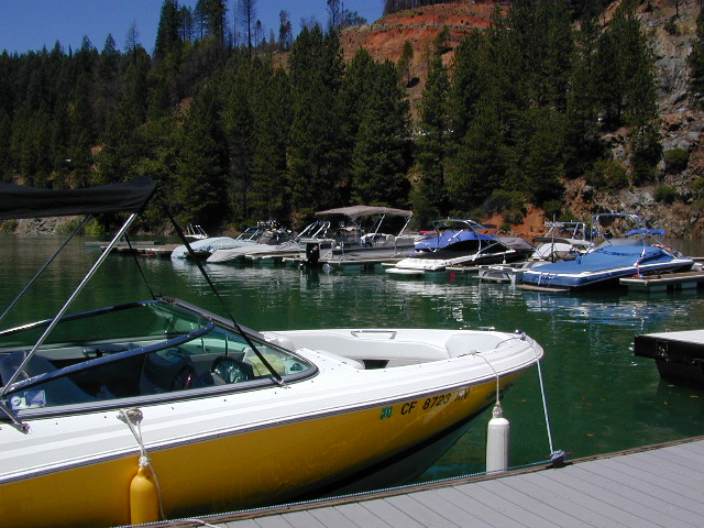
Bullards Bar Lake – Emerald Cove Marina
New Bullards Bar Reservoir
877-692-3201

boating boating gasoline marina

New Bullards Bar Reservoir

boat in camping

One of the few lakes in the Sierra Nevada that offer boat in camping at developed camp sites, and also to allow boaters primitive camping along the shoreline. No drinking water is available. No pit toilets, so a portable chemical toilet is always required. Plus, pack out all garbage.

No charge for DAY USE areas: parking or boat launch ramps

NOTE: Dark Day & Schoolhouse Campgrounds are the only car camping & RV accessible camping on this lake. These both have flush toilets and drinking water piped in. Hiking trails & boat launch nearby. Wheelchair accessible campsites are available.

CAMPS OPEN: APRIL – OCTOBER
Campgrounds @ BullardsBar are usually open from April to October annually and all are closed for winter months.

camping walkin camps hiking camping boating camping RV camping mountains

Bullards Bar Campgrounds

camp information 530-692-3200

  • GardenPoint: 17 boat-in sites
  • Madrone Cove: 10 boat-in sites
  • Shoreline Camp: 2 boat-in sites
  • Dark Day Walk-In Camp: 30 sites
  • Schoolhouse Campground: 56 sites
  • Hornswoggle Group Camp

Frenchy Point Campground USDA

Located 5 miles northwest of Dark Day Boat Ramp on the west side of the reservoir. Boat in only access. It is used as an over flow campground. There are campsites, but no bathrooms. Portable chemical toilet required. More info call Emerald Cove Marina at (530) 692-3200

National ForestsBullards Bar Lake located on the Yuba River, bordering
between Tahoe National Forest & 
Plumas National Forest


bullards bar California

lake recreation 

  • boat in camps
  • canoe
  • fish
  • houseboat rentals
  • kayak
  • picnic sites
  • sail
  • watercraft rentals

land recreation

  • backpack
  • campgrounds
  • hike
  • mountain bike
  • walk-in camps

bikingbullardsdam

also in the area


View Larger Map

califrepublic

Second Spillway – in the works?
Yuba Water Agency has just committed to building a $160 million second spillway at the New Bullards Bar Dam; beginning in 2021, with a completion date of 2025.

check

https://en.wikipedia.org/wiki/New_Bullards_Bar_Reservoir
https://en.wikipedia.org/wiki/New_Bullards_Bar_Dam

Hidden Falls Campground

waterfall hidden
Hidden waterfall is tucked inside a cove of granite, at the far end of the parking lot.


2021 – THIS CAMPGROUND IS CLOSED indefinitely,
due to the Castle Fire 2020

Hidden Falls Campground
Middle North Fork of Tule River

Northside of Western Divide Highway 190, near Springville, CA

Mountain Home State Forest
559-539-2321 summer
559-539-2855 winter

Located right on the middle north fork of the Tule River

Inside an unknown area called Mountain Home State Forest, this small campground has a few spots that fill up quickly on weekends and at anytime during in the summer months. Campground closes seasonally, for winter snow.

Usually open: MAY-OCT

HIDDEN FALLS CAMPGROUND camping

Elevation: 6,150′
Number of Sites: 8 walk-in camp sites
Reservations: No
Sites Available: First come, First serve
Vehicle Accessibility: 20′ max.
Length of Stay: 14 Days
Water: River nearby
Toilet: Vault
Bear Boxes: Yes
Season: Closed for winter
Fee: Yes
Operated By: National Forest Service
Closest Town: Springville, California

tent camping on river

Motorhome RV campers beware; no hook-ups, no paved roads.  This is a primitive style camp, way back on a dirt road – not suitable for large vehicles.

NOTE $ This used to be one of our favorite FREE spots, but they recently started charging an overnight fee for this campground.

viewsfromcamp
Views from Camp
  • hikerbike
  • camp
  • fish
  • hike
  • picnic
  • stargaze

Golden Trout Wilderness trailheads nearby. Plenty of hiking opportunities, great scenery and several Sequoia groves to visit.Mountain biking is allowed on the dirt roads. Single track trails may be overgrown or even off-limits, due to the fragile eco-system around Sequoia trees.

You may actually love this little camp so much, you won’t want to go anywhere else. How ’bout just chillin out: relaxing near the water. Shady swimming holes. Fishing in the Tule River.

Pack a picnic: Back road exploration is a great day trip, for there are many dirt roads weaving in and around this park, near the Giant Sequoia.

Tule River, South Fork
Tule River, North Fork

SEQUOIA_mapHidden Falls is accessible via a long, narrow, paved mountain road; then a dirt road, leading 3 miles back to two very secluded campgrounds: this one & neighboring Moses Gulch Campground.

western south sierra

North of Springville on Highway 190, turn left (north) on to J37, some call it  Balch Park Road (Google Maps has it as Wagner Drive) and follow it up 3.5 miles to Bear Creek Road (#220). Drive 17.5 miles on curvy Bear Creek Road, turn right and follow signs to campground.

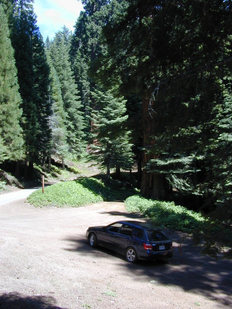
saabaru_forest

Sawmill Campground

Sawmill Walk-in Campground

Yosemite East – Tioga Pass Hwy 120
Inyo National Forest

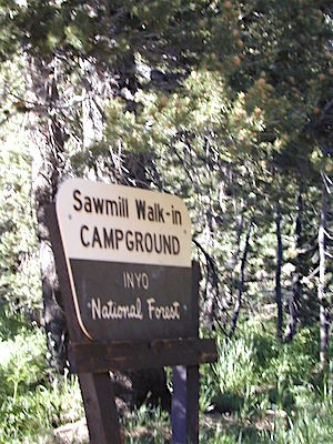
sawmillsign

camp

Wanna little exercise with your campsite? Well this spot is by far, a hikers dream. Located in the Sierra Crest, the High Sierra Inyo National Forest. On the east side of Yosemite National Park (just outside the park boundary) and accessible only half the year – due to deep snow. This spot is walking distance to numerous hikes, lakes, peaks and historic Tioga Pass Resort.

walk in to tranquility and beauty

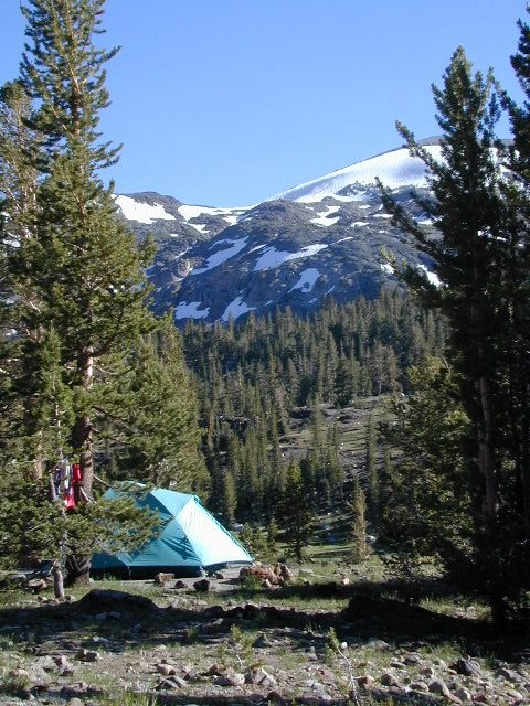
closeuptent

From California Highway 120, east of Tioga Pass, locate the paved Saddlebag Lake Road. This super scenic hike-in campground is located on the left side of the road, just before Saddlebag Lake.

tote road

The foot trail to the camp sites require that you physically carry (haul) your gear at least a half mile. Picnic tables and fire rings, plus a vault toilet. Bare bones, but the scenery is oh so worth it!

hiker

Located in a scenic canyon with the headwaters to Lee Vining Creek. Super high elevation with the darkest skies around. Camp sites are set on an embankment above a meadow and creek bed below. Impressive snow capped peaks surround the whole area.

Link to 360 google view

walkers

dozens of high elevation lakes

Hoover Wilderness trailhead access; Yosemite National Park nearby.

Gardisky Lake Trailhead is right across the road w/ Tioga Peak towering above. Saddlebag Lake Trail is a loop trail for hiking and fishing. 20 Lakes Basin is a challenging loop trail – way up behind Saddlebag Lake.

The small parking lot is limited to 15 parking spots. Most campsites have room for two tents. Each campsite a locker for food storage. (bear country = store food properly)

Sawmill Campground

• Elevation: 9,800′
• Number of Sites: 12
• Camping Reservations: No
• Sites Available: First come, First serve
• Vehicle Accessibility: none
• Length of Stay: 14 Days
• Water: No piped water
• Toilet: Vault
• Season: Closed during winter & spring
• Fee: Yes
• Operated By: National Forest Service
• Closest Town: Lee Vining, CA


scenicamps

This Sawmill Camp should not  be confused w/ Sawmill Lake, a 4×4 camping lake, inside Tahoe National Forest, near Donner Pass i80

Marin Camping Point Reyes

Marin County Camping

Point Reyes Peninsula / Pt Reyes Campgrounds

Ocean View CampsitesOne of the most visited coastlines in the world, San Francisco – where 2 peninsulas almost meet – at the mouth of the “hidden bay”.

This is the Golden Gate to California and the Wild West.

So, you wanna escape the tourist masses… and camp out, overlooking an amazing place?

(put on your hiking boots)

lighthouse
Pt Reyes Lighthouse

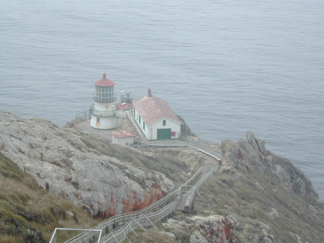
Nope, the Lighthouse doesn’t have a campground! There are no camping facilities at Muir Woods National Monument, nor Muir Beach. No camping at Stinson Beach, nor Bolinas.

canoeThe Tule Elk Reserve has no camping at all. Tomales Bay State Park no longer has car camping or RV camping available; hike-in or boat-in
camping, maybe.

What is available for campground camping on “the Point” is listed below, with phone numbers and links for more info.

foggy seashore

POINT REYES, CALIFORNIA

Point Reyes National Seashore Campground
reservations required
hike-in, bike-in, and boat-in camp sites only
415-464-5100
415-464-5137

Mount Tamalpais State Park Campground State Parks
reservations required
415-388-2070camp

  • Alice Eastwood Campground
  • Frank Valley Campground
  • Horse Camp Campground
  • Pantoll Campground
  • Steep Ravine Campground
  • Steep Ravine Cabins

Marin Headlands Camping
reservations required; no pets & no RVshiker
415-331-1540

Samuel P. Taylor Redwood State Park State Parks
reservations recommended; open year round
415-488-9897

  • Devils Gulch Horse Camp
  • Historic Camp Taylor
  • Madrone Group Camp
  • Car Camping / Tent Camp
  • RV max 27′
  • Cabin Rentals @ SPT

DSCN4484

Cycling, hiking, backpacking, mountain biking, kayaking and boating are all popular outdoor recreation activities.

Small towns located on the Point Reyes peninsula do have a few private campgrounds, some of which can accommodate motorhomes. Follow towns links for those.

RV camping

There are no RV parks, camper trailers or motorhomes allowed in campgrounds on the steep coastal region of Point Reyes. Most of the narrow, winding roads are forbidden for motorhome travels. No shoulder, no guard rails, on many curvy roads. Great viewpoints are best when you STOP to look, off the roadway.

hike NPS

Golden Gate National Recreation Area NPS

Point Reyes National Seashore

Stinson Beach Park

Tomales Bay State Park State Park

Tule Elk Reserve

dockside

nearby towns – 


Lake Tahoe Campground

Indian Valley Campground
Indian Valley Campground, Tahoe National Forest

Lake Tahoe Campgrounds

Cabins

Tahoe Forest Campgrounds

sierra buttes California

Lake Tahoe California

Listed below are developed camp grounds and RV camps around Lake Tahoe, run by various agencies. Most require reservations and are only open half the year (or less).

Lake Tahoe campgrounds: blue links lead to camp info.

campground elev spots veg toilet water notes
Bayview Campground 6000′ 10 pines vault Emerald Bay
Camp Richardson Tahoe 6500′ 330 pines flush piped South Lake Tahoe
Campground by the Lake 6000′ 157 pines flush piped South Lake Tahoe
D.L. Bliss State Park 6000′ 168 pines flush piped Westshore, Lake Tahoe
Eagle Point Tahoe 6100′ 100 pines flush piped California State Park
Emerald Bay State Park 6000′ 16 pines flush piped South Lake Tahoe CA
Fallen Leaf Lake Campground 6737′ 205 pines flush piped South Lake Tahoe CA
General Creek Campground 6000′ 175 pines flush piped Westshore, Lake Tahoe
Kaspian Campground 5800′ 20 pines flush piped Westshore, Homewood CA
Lake Forest Campground 6300′ 21 pines flush piped Northshore, Tahoe Vista CA
Meeks Bay Campground 6000′ 17 pines flush piped Westshore, Tahoma CA
Mount Rose Campground 8500′ 24 pines flush piped in Nevada @ Tahoe
Nevada Beach Campground 6200′ 54 pines flush piped Nevada Lake Tahoe
Pope Beach Campground 6000′ 49 pines flush piped South Lake Tahoe CA
Sandy Beach Campground 6300′ 44 pines flush piped Northshore, Tahoe Vista
Sugar Pine Point SP 6200′ 30 pines flush piped Westshore, Tahoma CA
Tahoe Pines Campground 6000′ 49 pines flush piped Meyers California
Tahoe Valley RV Campground 6000′ 413 pines flush piped South Lake Tahoe CA
Tahoe Campground SRA 6200′ 16 pines flush piped West shore, Tahoe City
William Kent Park 6300′ 95 pines flush piped Westshore, Tahoe City
Zephyr Cove Campground 6200′ 170 pines flush piped boat rentals Tahoe NV

rangerAll Tahoe Campgrounds will charge a fee for day use or overnight stays; Many require advanced reservations. Nightly rates vary per park, but tend to be expensive in this region. Most campgrounds are closed during the winter due to the big snow. Check with the ranger districts listed here.

primitive camp spots
Sawmill Lake 4×4 Camp

camp RV camps NFS hikes fishing mountain biking camps river fishing

NFSlogo

Tahoe National Forest encompasses a large region of the Sierra Nevada mountains surrounding the north portion of Lake Tahoe. areas included – Donner Pass, American River, Yuba River, Northern Gold Country; Lakes Basin Recreation Area; Small lakes and reservoirs with excellent fishing, all surrounded by lush forests.

15milesto20

Campgrounds with mid (5000′) to high-elevation (8000′) locations close annually for winter snow. Many are open for a few short summer months.

Listed below are Tahoe Campgrounds located away from the Lake Tahoe Basin; Inside Tahoe National Forest  Smaller camps are on a first come, first serve basis. blue links lead to camp info.

campground elev. spots veg toilet water notes
Ahart Campground 5300′ 12 pines vault American River
Alpine Meadows 5900′ 25 pines vault Martis Creek
Bear Valley Campground 6600 10 pines vault piped OHV trails, Sierraville
Berger Campground 5900 7 pines vault lake Packer Lake, Lakes Basin
Big Reservoir Campground 4000 18 pines vault piped non motor lake, Foresthill
Boca Campground 5605′ 26 pines vault boat launch
Boca Rest Campground 5605′ 25 pines vault piped on Boca Reservoir
Boca Spring Campground 5800′ 17 pines vault piped horses
Bowman Lake 5585 7 pines vault lake Donner area
Boyington Mill Campground 5680′ 12 pines vault Boca Reservoir
Cal-Ida Campground 2000′ 21 pines vault piped Yuba River, Downieville
Canyon Creek Campground 6000′ 20 pines vault creek Donner area
Carlton Flat Campground 2200′ 21 pines vault piped Yuba River, Downieville
Carr Lake Campground 5900′ 5 pines vault lake Carr Feeley Lake
Chapman Creek Campground 6000′ 29 pines vault piped Yuba River
Chute Hill Campground 3400′ 30 pines flush piped Malakoff Diggins SP
Cold Creek Campground 5800′ 13 pines vault piped Sierraville
Cottonwood Campground 5600′ 24 pines vault piped Sierraville
Dark Day Campground 2200′ 16 oaks vault piped Bullards Bar Reservoir
Diablo Campground 5800′ 20 pines vault  Yuba River
Donner State Park Campground 5850′ 154 pines flush Donner Lake
East Meadow Campground 6100′ 46 pines flush piped Jackson Meadows Reservoir
Fiddle Creek Campground 2200′ 15 oaks vault piped Yuba River, Downieville
Findley Campground 6100′ 14 pines flush piped Jackson Mdws Res
Fir Top Campground 6100′ 12 pines vault flush Jackson Mdws Res
French Meadows Campground 5300′ 75 pines vault flush French Meadows Reservoir
Garden Point Campground 2000′ 19 variety vault fishing boats
Giant Gap Campground 3700′ 30 pines vault fishing boats
Goose Meadow Campground 5800′ 24 pines vault piped fish Donner
Grouse Ridge Campground 7400′ 9 pines vault Hwy 20
Hampshire Rocks Campground 5800′ 31 pines vault piped fishing camp
Independence Lake 6900′ 20 pines vault piped fishing
Indian Springs Campground 5600′ 35 pines vault piped fishing, Yuba River OHV
Indian Valley Campground 2200′ 17 pines vault piped Yuba River, Downieville
Jackson Creek Campground 5600′ 14 pines vault creek
Jackson Point Campground 6100′ 8 vault boat access Jackson Mdws Res
Lakeside Campground 5700′ 41 vault boat ramp Prosser Reservoir
Lake Spaulding Campground 5000′ 24 vault boat ramp PG&E Campground
Laiser Meadow Horse Camping 6200′ 11 vault piped High Sierra PCT access
Lewis Campground 5300′ 40 pines flush piped French Meadows Reservoir
Lindsey Lake Campground 5900′ 7 vault lake
Lodgepole Camping 5800′ 18 vault Lake Valley Reservoir
Loganville Campground 6000′ 29 vault piped Yuba River, Sierra City
Logger Campground 6000′ 252 pines flush piped Stampede Reservoir
Long Ravine Campground 2300′ 28 pines flush piped Rollins Reservoir
Lower Little Truckee 6000′ 15 vault piped Truckee River fishing
Madrone Cove Campground 2000′ 11 none Bullards Bar Reservoir
Meadow Lake Campground 7200′ 15 vault Sierra fishing camp
Meadow Lake Shoreline 7200′ 10 vault High Sierra Nevada
Mumford Bar Campground 5300′ 5 vault Foresthill Road
North Fork Campground 4400′ 17 vault piped American River
Onion Valley Campground 2300′ 5 oaks vault Sierra fishing camp
Orchard Springs Campground 2300′ 15 oaks flush piped Rollins Reservoir, Colfax
Pack Saddle Campground 6000′ 15 pines vault pump Packer Lake
Lakes Basin
Parker Flat OHV Camping 3900′ 7 pines vault off roading trails
Pass Creek Campground 6100′ 30 pines flush piped Jackson Mdws Res
Peninsula Campground 2300′ 58 pines flush piped Rollins Reservoir
Pine Aire Campground 2700′ 75 pines flush piped South Yuba River Camp
Poppy Campground 5300′ 12 pines vault French Meadows Reservoir
Prosser Campground 5800′ 29 pines vault Prosser Res.
Ramshorn Campground 2600′ 16 pines vault piped Yuba River, Downieville
River Rest Campground 2700′ 105 pines flush piped South Yuba River Camp
Robinson Flat Campground 6800′ 5 pines vault well
Rocky Rest Campground 2300′ pines vault Yuba River, Downieville
Rucker Campground 5800′ 10 pines vault Rucker Lake fishing
Sagenhen Campground 6480′ 10 pines vault
Salmon Creek Campground 5800′ 32 pines vault fishing
Lakes Basin
Sardine Campground 5800′ 29 pines vault Sardine Lake Lakes Basin
Schoolhouse Campground 2200′ 56 oaks flush piped Bullards Bar Reservoir
Scott’s Flat Campground 3200′ 86 oaks flush piped Scotts Flat Reservoir
Shirttail Creek Campground 3700′ 30 pines vault Sugar Pine Reservoir
Sierra Campground 5600′ 16 pines vault Yuba River, Sierra City
Silver Creek Campground 5800′ 27 pines vault Truckee River fishing
Snag Lake Campground 6000′ 12 pines vault Gold Lake Lakes Basin
South Yuba Campground 2700′ 16 pines vault South Yuba River Camp
Sterling Lake Campground 6500′ 6 pines vault lake
Talbot Campground 5600′ 5 pines vault American River
Union Flat Campground 3400′ 11 pines vault piped Yuba River, Downieville
Upper Little Truckee Camp 6100′ 26 pines vault Truckee River fishing
Webber Lake Campground 6800′ 60 pines vault lake Sierra fishing
White Cloud Campground 4200′ 46 pines flush piped biking, Nevada City
White Rock Lake Camp 7800′ 8 pines none High Sierra Nevada
Wild Plum Campground 4400′ 47 pines vault piped waterfalls, Sierra City
Woodcamp Campground 6100′ 20 pines flush piped
Woodchuck Campground 6300′ 8 pines vault creek
Yuba Pass Campground 6700′ 12 pines vault piped Yuba Pass, Hwy 49
Loganville Campground
Loganville Campground on Hwy 49
Union Flat Campground
North Yuba River @ Union Flat Campground

Tahoe National Forest

Tahoe Topo Maps