Photo Credit Erik Meldrum
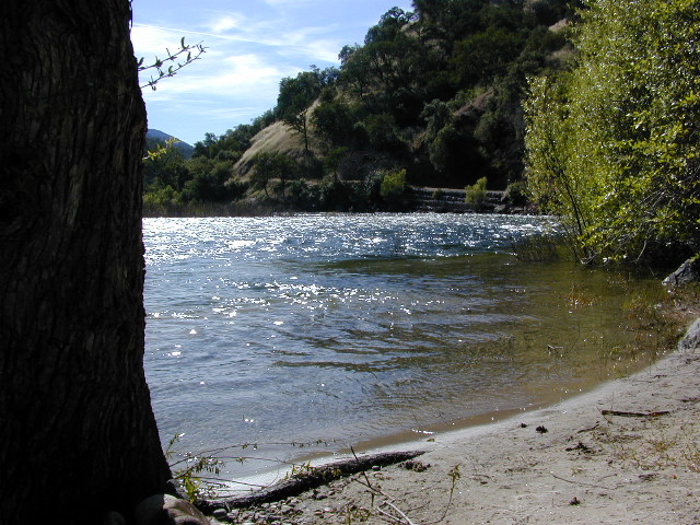
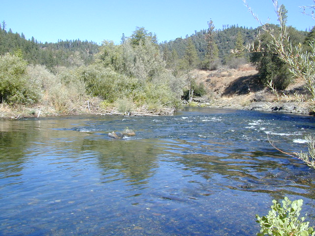
Salmon River
Forks of the Salmon
NORTHERN CALIF
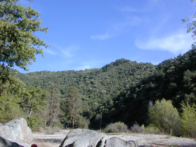
One of the most remote & biologically intact watersheds left inside California. The headwaters of the Salmon River flow from the Trinity Alps, Marble Mountains, and the Russian Wilderness Areas. 850,000 acres of Wilderness surrounding the Salmon River watershed.
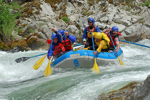
You gotta know how to read a map if you wanna find this hidden gem. For those who love seclusion! This NorCal river region is a prime destination for true nature lovers: campers, hikers, fishermen, river rafters, river kayakers, mountain bikers, backpackers, birdwatchers and horse enthusiasts. Summer is the busiest time and of course, the best weather. The remainder of the year, you’ll basically have the place all to yourself. Winters can be wet and sloppy, so don’t get stuck in the mud. Cell phone reception is minimal in these densely forested backwoods.
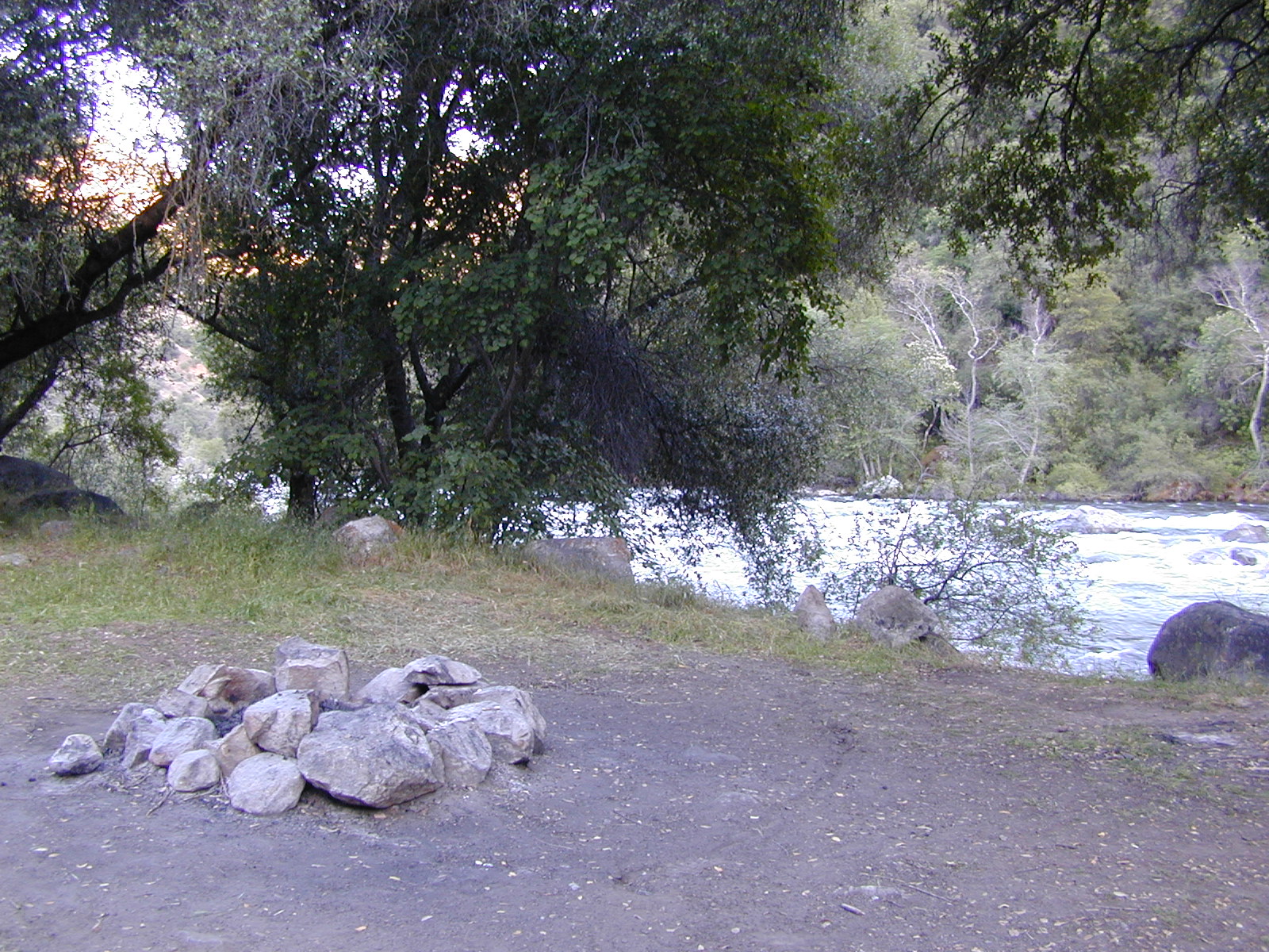
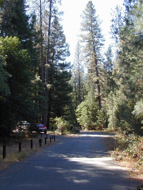
Rafting, river beaches, kayak spots. Campground camping, RV camping, tent camping, primitive and wilderness too.
A significant part of the Klamath River’s watershed is in the Karuk Tribe’s Ancestral Territory. Karuk Indians have carefully managed their lands through an integrated continuum with the aquatic and terrestrial ecosystem functions for thousands of years. Salmon, or “Ama” in the Karuk language, was a major source of food and spiritual renewal.
Forests & Parks along Salmon River:
- Klamath National Forest
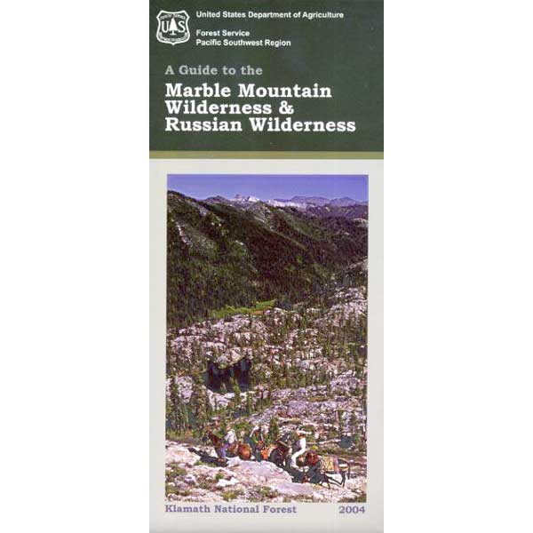
- Marble Mountain Wilderness
- Russian Wilderness
- Trinity Alps Wilderness
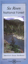
- Six Rivers National Forest
Northern California River Camping
Campgrounds along Salmon River:
- Matthews Creek Campground
- Hotelling Campground
- Oak Bottom Campground
- Idlewild Campground

Klamath National Forest Headquarters
1711 South Main Street
Yreka, CA 96097
530-842-6131Salmon River Ranger District
11263 N. Hwy 3
Fort Jones, CA 96032
530-468-5351towns near Salmon River:
- Callahan CA
- Cecilville CA
- Etna CA
- Fort Jones CA
- Orleans CA
- Sawyers Bar CA
- Somes Bar CA

Klamath National Forest Map USDA
NFS Klamath Forest Topo Atlas
See also – Klamath Fire