
Sierra Nevada
mountain wildflowers in California
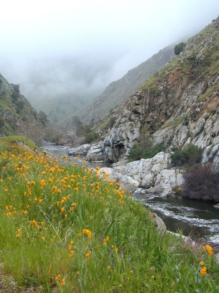
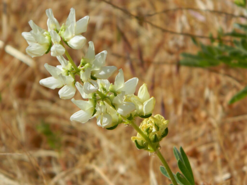
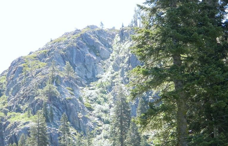
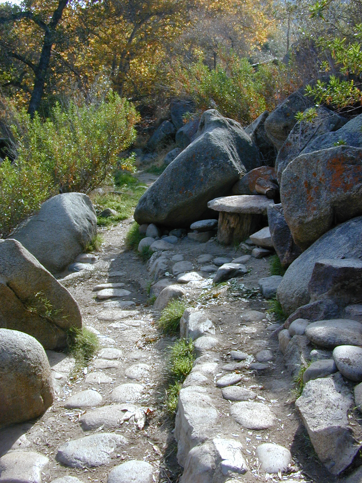
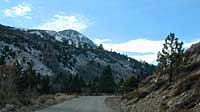
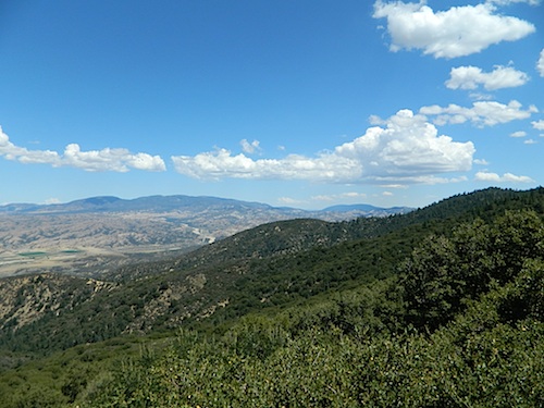
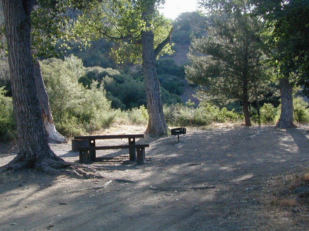
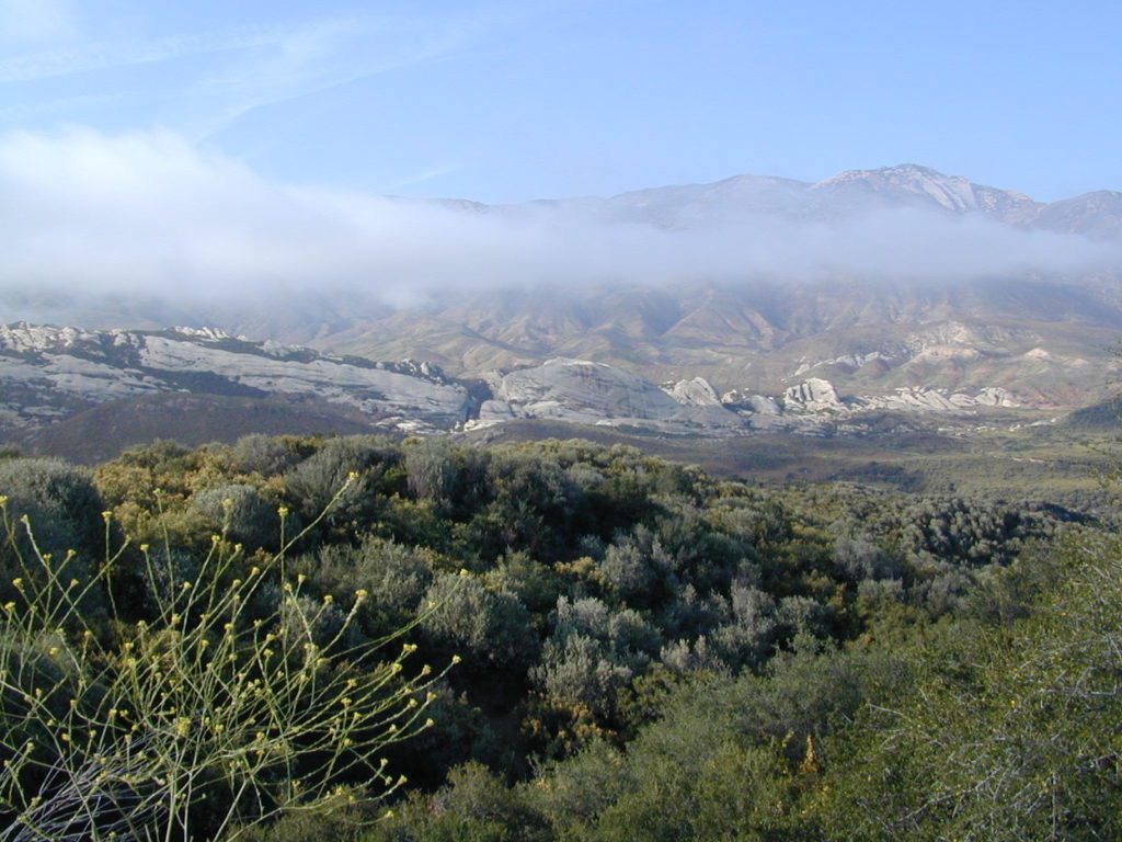
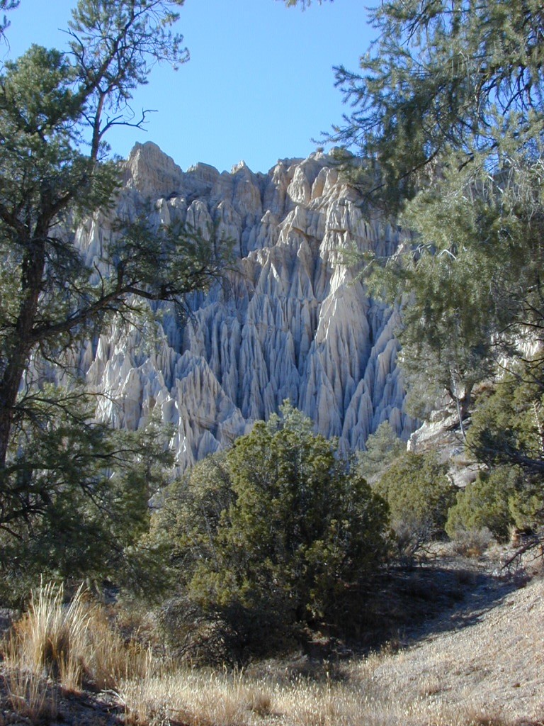
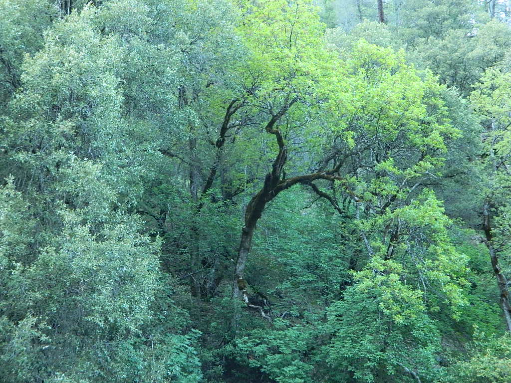
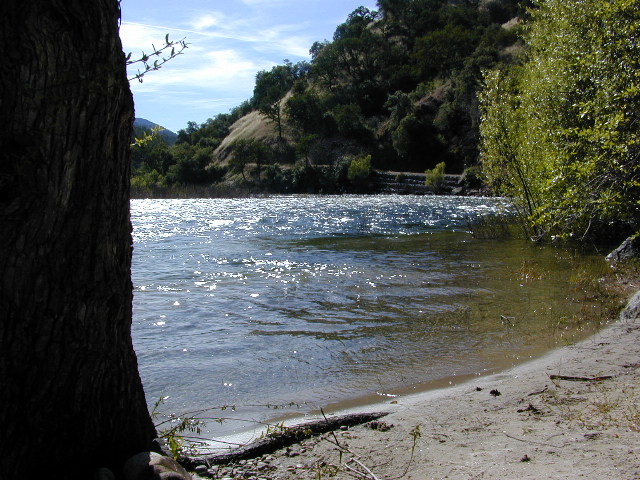
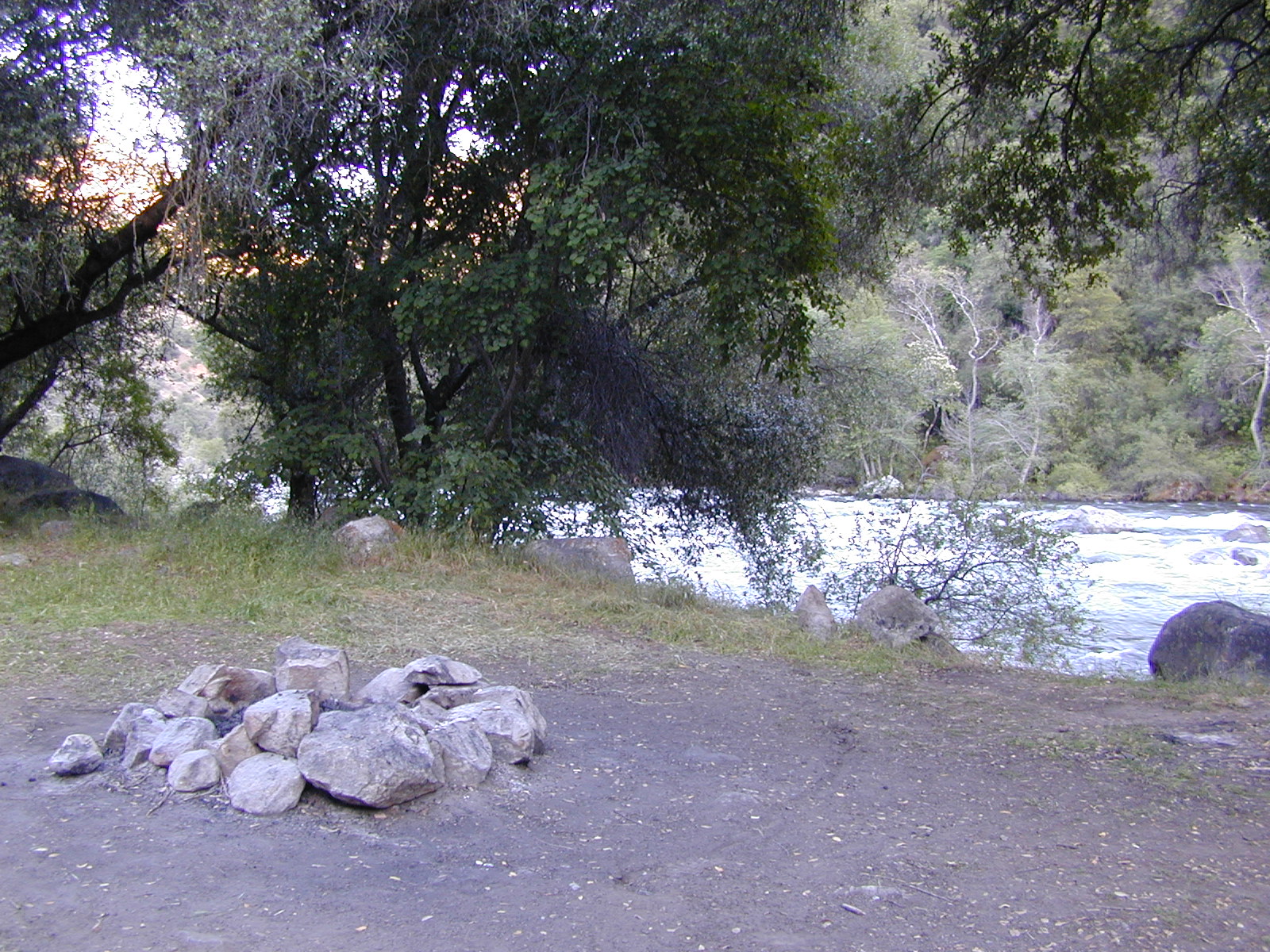
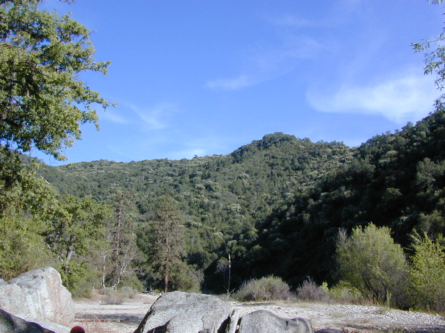
West facing canyons of the Sierra Nevada mountain range are prime spots for wild flora, especially in Springtime. Lots of rain means a great show can usually be found. Rivers exit the mountains and carve deep into the landscape. Lush green hills, oaks, boulders. Perfect picnic spots everywhere.
wildflowers bloom: March – July
make a whole day of it
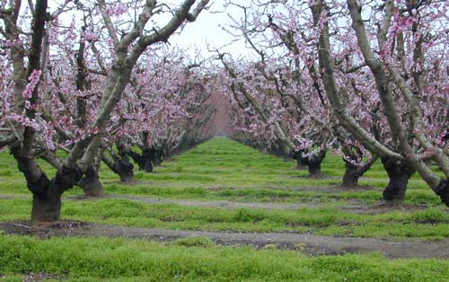
Lower elevations bloom first in the year. Remember if the Central Valley is blooming fruit trees, the mountain foothills are starting up too. Mid-elevations, above 3000′ bloom in summer months, but below that – plenty of river canyons and reservoirs are superb locations to search for wild flowers.
High Sierra wildflowers start to bloom after the snow melt (and roads open) usually JUNE – JULY
The steep Eastern Sierra canyons near US 395, do have some wildflowers in Spring. Rocky, higher elevations bloom in mid-summer. And what Eastern Sierra may lack in wildflowers, they make up for in Autumn Colors (best in the state)
Finding Wild Flowers:
BACK ROADS
CREEKS / STREAMS
FAULT LINES (earthquake)
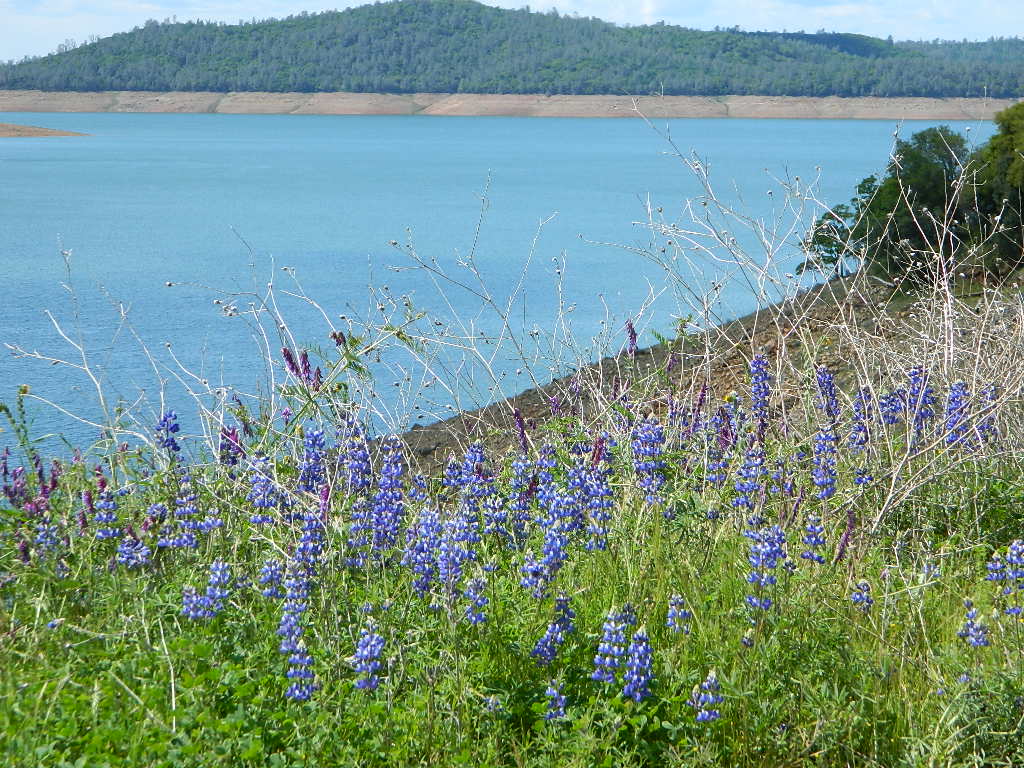
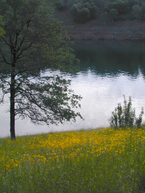
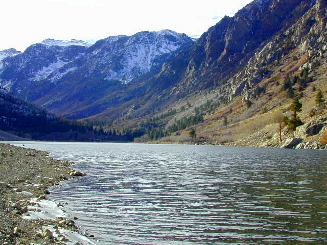
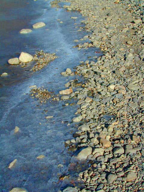
LAKES & RESERVOIRS
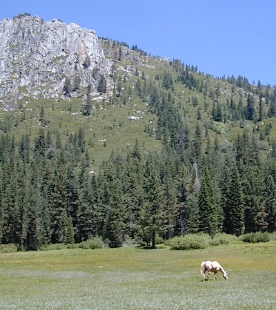
MOUNTAIN MEADOWS
OAK FOOTHILLS
OLD RAILROADS TRACKS
RIDGE LINES
RURAL HIGHWAYS
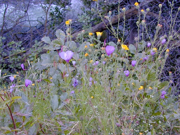
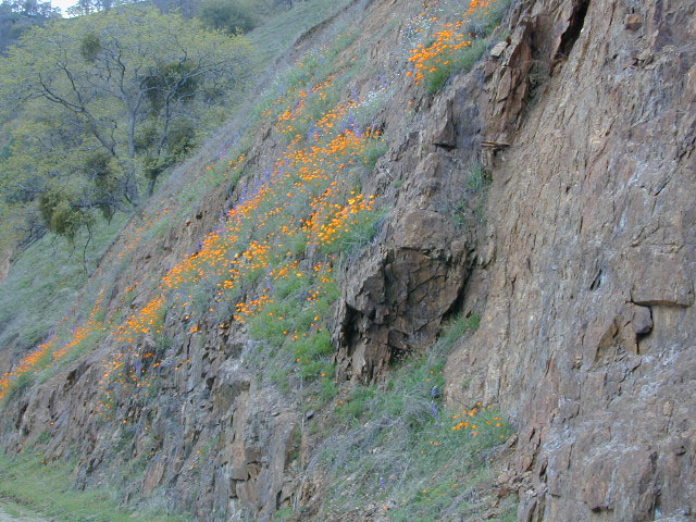
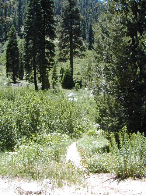
RIVER CANYONS
STATE PARKS
Discover more with
Total Escape’s online
Sierra Nevada GoogleMap
![]()

Sierra Nevada locations
to see Wild Flowers
listed from south to north
Kern County
One of the premiere counties for wildflowers inside California. Kern offers amazing displays (blankets of flowers) along roadways, on hillsides, and in the numerous canyons.
Obvious I-5
Interstate 5 – from the Grapevine up past Tejon Ranch, and over to Gorman is epic blooms of poppy and lupine. Annually in April and only if the previous winter was wet or snowy. For safety sake, please exit the freeway to view the flowers!
The famous high desert Poppy Preserve is located off of I-5, east on Hwy 138, way before the town of Lancaster, CA

But all this mentioned above is not technically the Sierra Nevada mountains, so we will move on…
CALIENTE ROAD

Off of Hwy 58 west (below Tehachapi) Often called Caliente exit, or Caliente Creek Road – the Bodfish-Caliente Road is a narrow, paved, back road that connects Highway 58 to the Lake Isabella area.
Driving this countryside route is long and curvy, but there are numerous pull-outs and places to see wild flora. Plan for half a day to reach Hwy 178. Gold Pan Canyon and rolling oak hills. Dirt roads lead into National Forests, but watch for private property and no trespassing signs. NOTE: You may need to stop the car. Get out and walk around to find these little beauties.
Historic Havilah has an old schoolhouse and a museum.

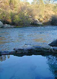
Kern River Canyon
- Lower Kern along Old Kern Canyon Road
- Upper Kern, just north of Kernville, CA
- NFS Gold Ledge Campground – Giant Lupine

Kings River canyons
- Hwy 168 @ Tollhouse Road
- Maxson Road to Pine Flat Reservoir
- Blackrock Reservoir
- Big Creek Rd. Sierra Forest Road #9 – Sierra NF
Sequoia Foothills
Lewis Hill Preserve
(559) 738-0211
Along N Plano Street. North of Porterville, CA
NOTE: Lewis Hill Preserve is not open to the public except for special tours and events.
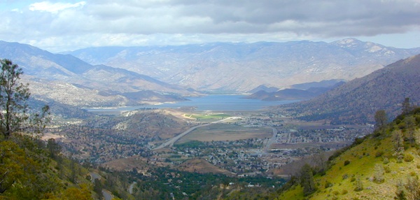
Lake Kaweah @ Three Rivers, CA
south of Sequoia National Park has wildflower displays along the lake shore, and with snow capped mountains in the background, it can make for excellent photos.
Sequoia Road J21 – HOMER RANCH
Dirt back road on the north side of the Lake Kawaeah which connects to Sequoia National Park (the long way). Dry Creek Preserve, McKee Canyon, Ragle Canyon, Indian Canyon. Homer Ranch Preserve, open to the public weekends only, from November 1st – June 1st

Calif Gold Country
Foothills & River Canyons
American River Canyon – Hwy 49, South of Auburn, CA
Consumes River – East of Coloma, CA
Lake Oroville SRA @ Hwy 162
Bidwell Bar – Green Suspension Bridge
Mariposa County routes & wildflowers
Marshall Gold Discovery State Historic Park:
Picnic & hiking in spring @ Coloma
Monroe Ridge Trail
Golden poppies along Gold Country Highway 49
Merced River BLM Briceberg, CA
Natural Bridges Trailhead @ Coyote Creek
Foot trail off of Parrotts Ferry Road near Vallecito, CA
New Melones Reservoir – near Angeles Camp, CA
Heron Point Trail
Red Hills Road Trail BLM
South of Chinese Camp on Red Hills Road
SW of Sonora, CA
South Yuba River State Park @ Bridgeport
Long, Historic Covered Bridge and river trails
NW of Grass Valley, CA
West Side Trail – Historic railroad grade near Tuolumne, CA

see also –


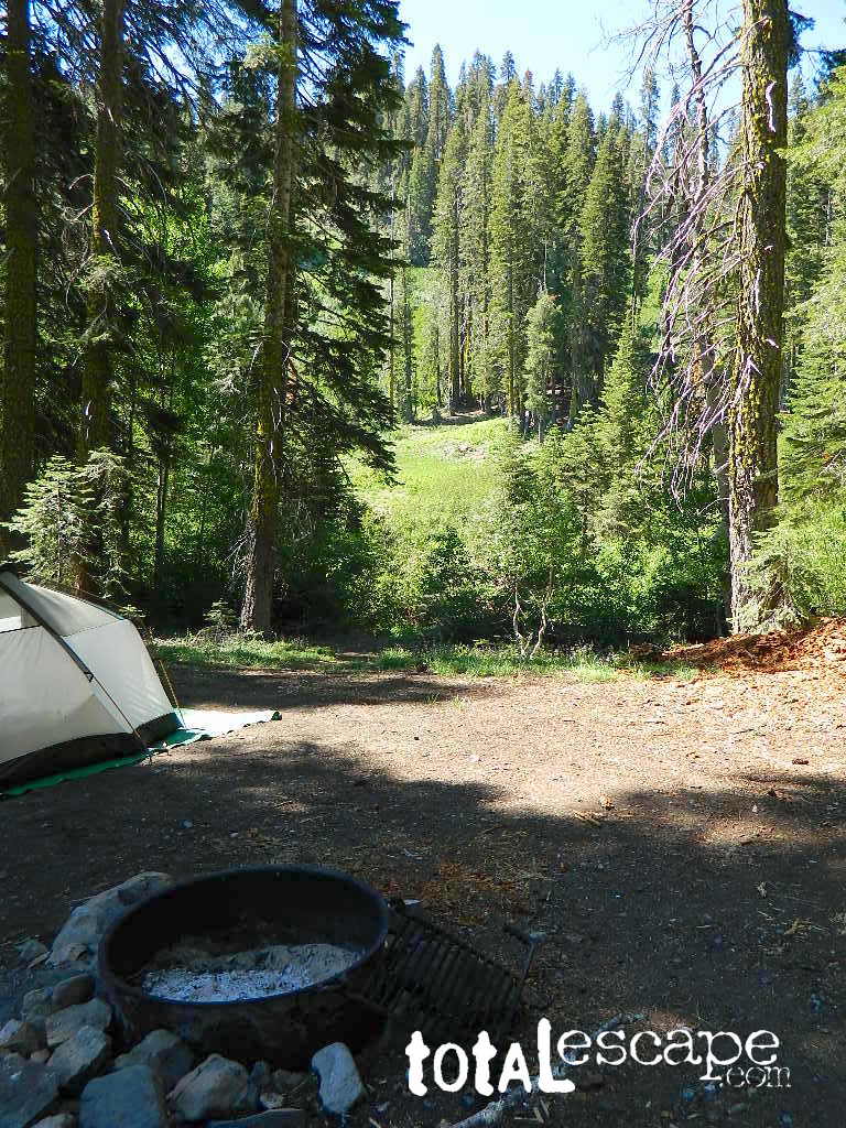
 Small Sierra Nevada camp on Upper Jamison Creek in a granite canyon, within a gorgeous red fir forests, wildflowers and fresh mountain air.
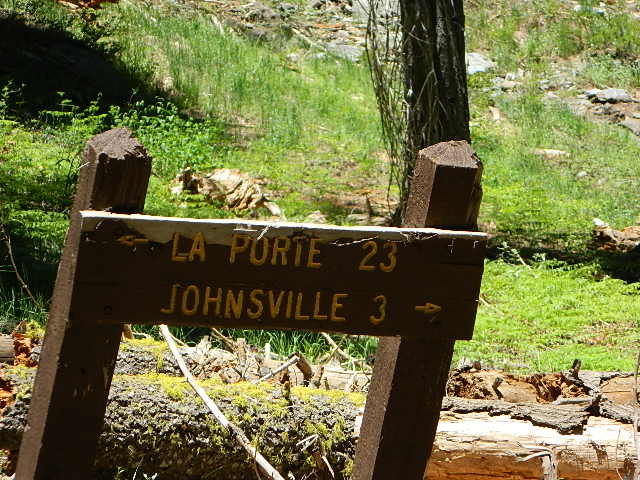


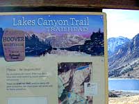
 Lakes Canyon Trailhead


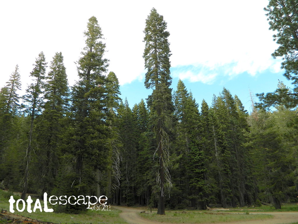
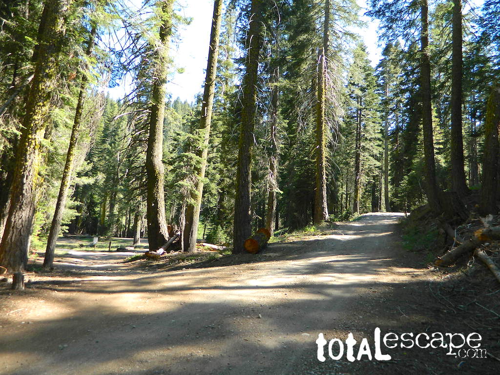
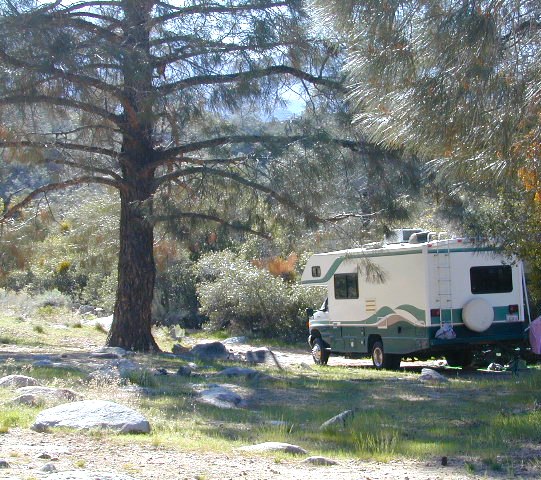
 Sequoia National Forest Campgrounds


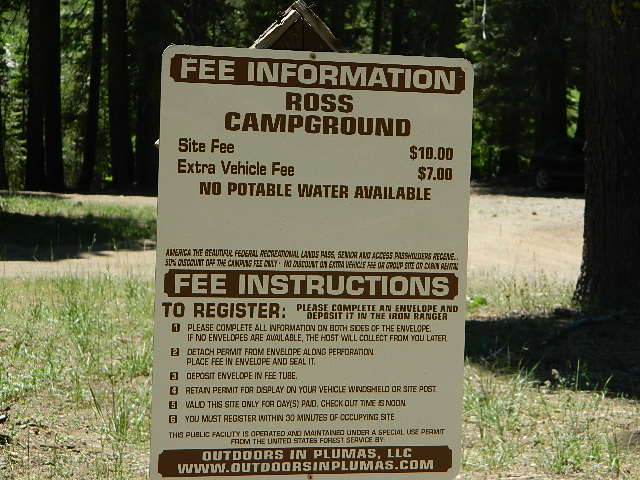
 No day use parking lot inside the campgrounds. Park outside the camping grounds for recreation: fishing, hiking, mountain biking, rafting or wildflowers.
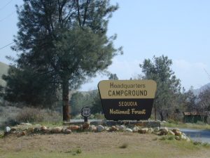


 Lake Mohave Ranger Stations


