Lassen Campgrounds
Feather River Camping, Lake Almanor Campgrounds, Hat Creek, River Fishing NorCal, Topo Maps, California Campground Reservations, Lassen National Forest camp sites and all the outdoor recreation you can imagine.
Volcanic lands of Lassen National Park are surrounded by Lassen National Forest, which means if you cannot find camping inside the National Park – you can surely find it in the outlying regions – with rivers . The National Park Lassen Hwy 89 is often closed during winter months due to snow, as Diamond Peak & Reading Peak are around 8000′ elevation. In 2011 the south entrance did not open until late summer due to heavy snows.
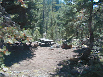
A few Lassen campground sites may be reservable, more info with links below; the rest of the campgrounds in the green lists are on a first come, first serve basis.
- BUTTE LAKE CAMPING
- JUNIPER LAKE GROUP CAMP
- MANZANITA LAKE CAMPRGOUND
- SUMMIT LAKE CAMPGROUND
- GURNSEY CREEK – CLOSED 2022
- HAT CREEK CAMPGROUND
- HOLE IN THE GROUND – CLOSED 2022
Lassen National Park Campgrounds 
Camp Lassen / Lassen Lakes
| campground | elevation | spots | veg | toilet | water | info |
| Lake Fork Campground | 6792′ | 18 | pines | vault | piped | June-Oct |
| Southwest Walk-In | 6700′ | 21 | pines | flush | piped | CLOSED |
| Warner Valley | 5650′ | several | pines | vault | piped | CLOSED |
Lassen National Forest Campgrounds 
HOLE IN THE GROUND CAMPGROUND – Mill Creek, CA
CLOSED due to DixieFire
Eagle Lake District
| campground | elev. | spots | veg | toilet | water | notes | |
| Bogard Campground | 5600′ | 22 | aspen, pines | vault | pump | May-Oct | |
| Butte Creek Campground | 5600′ | 20 | oak, pines | vault | creek | CLOSED | |
| Crater Lake Campground | 6800′ | 17 | mixed conifer | vault | pump | dirt road, June-Oct | |
| Goumaz Campground | 5200′ | 5 | ponderosa | vault | creek | dirt road | |
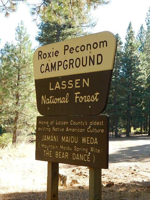
| Roxie Peconom Campground | 4800′ | 10 | ponderosa | flush | pump | dirt road |
Hat Creek District
| campground | elev. | spots | veg | toilet | water | notes | |
| Big Pine Campground | 4500′ | 19 | pines | vault | pump | April-Oct | |
| Bridge Campground | 4000′ | 25 | pines | vault | piped | April-Oct, fish | |
| Honn Campground | 3400′ | 6 | pines | vault | no | CLOSED | |
| Rocky Campground | 4000′ | 8 | pines | vault | creek | CLOSED |
Lake Almanor District
| campground | elev. | spots | veg | toilet | water | notes | |
| Alder Creek Campground | 3900′ | 6 | pines | vault | creek | CLOSED | |
| Benner Creek Campground | 5562′ | 9 | pines | vault | creek | May-Nov | |
| Black Rock Campground | 2100′ | 6 | pines | vault | creek | year round, fish | |
| Butte Meadows Campground | 4600′ | 13 | pines | vault | piped | June-Nov | |
| Domingo Springs Campground | 5060′ | 18 | pines | vault | piped | CLOSED | |
| Echo Lake Campground | 6440′ | disp | pines | – | lake | CLOSED | |
| Elam Campground | 4400′ | 15 | pines | vault | piped | CLOSED | |
| High Bridge Campground | 5200′ | 12 | pines | vault | piped | CLOSED | |
| Rocky Knoll Campground | 6000′ | 18 | pines | vault | piped | CLOSED | |
| Silver Bowl Campground | 6000′ | 18 | pines | vault | piped | CLOSED | |
| Soldier Meadows | 4890′ | 15 | pines | vault | creek | CLOSED | |
| South Antelope Campground | 2700′ | 4 | pines | vault | creek | CLOSED | |
| Warner Creek Campground | 5040′ | 13 | pines | vault | creek | CLOSED | |
| West Branch Campground | 5000′ | 15 | pines | vault | piped | May-Nov | |
| Willow Springs Campground | 5100′ | 14 | pines | vault | creek | May-Nov, fall hunters | |
| Willow Lake Campground | – | disp | pines | – | lake | CLOSED |
A few PG&E Campgrounds can be found near Lake Alamanor, which are managed by the utility company and not listed on National Forest or National Park web sites.
MOST ALL CAMPGROUNDS CLOSED, due to Dixie Fire damages
LAKE ALMANOR – PG&E Campgrounds
Southshore @ Canyondam, CA
LAST CHANCE CREEK – PG&E Camp, North of Lake Almanor
BUTT VALLEY Reservoir – PG&E Campgrounds
West of Lake Almanor, CA
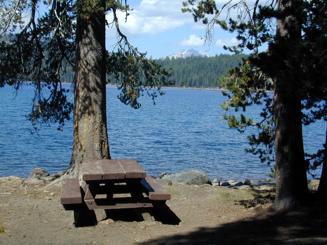
Lassen National Park
Lassen National Forest
Northern California Topographic Maps
| Lassen Area Maps & Books – | Lassen Towns – |


