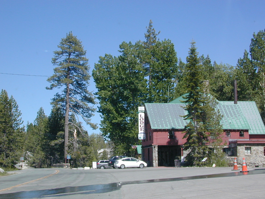
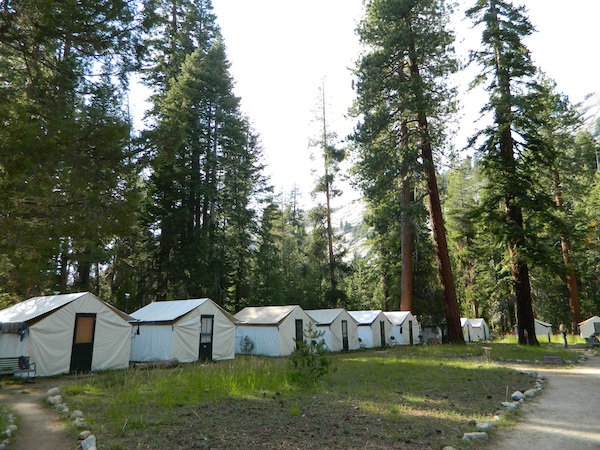
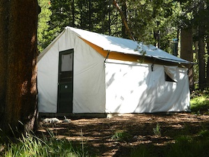
California Fire Lookouts for Rent
US Forest Service Cabins

Rent a secluded cabin with an amazing view, a historic tower for wildfire spotting, or a USFS guard station – hidden deep inside USDA California National Forests. Several of these NFS lookouts have been closed recently, so the ones listed below have links to status and reservation information.
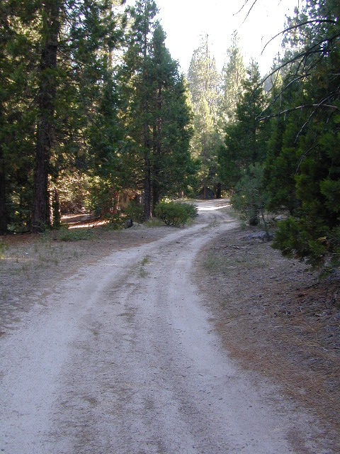
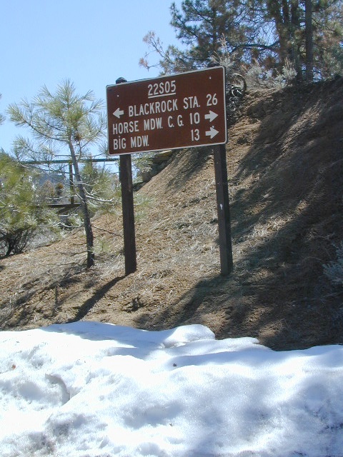
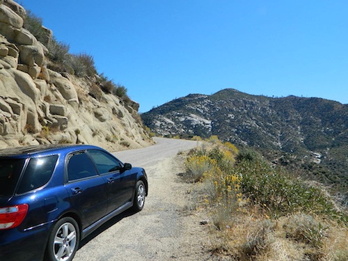
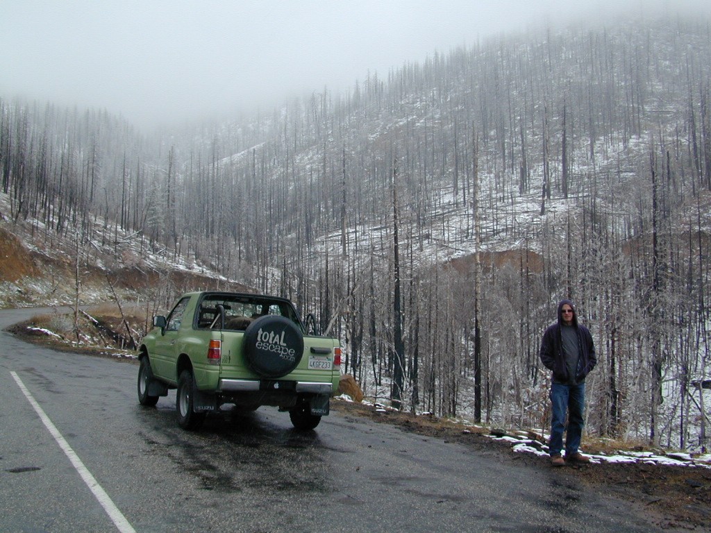
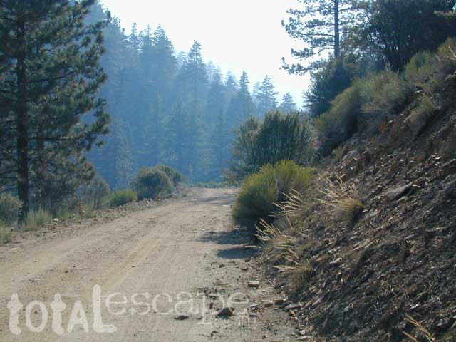
Dirt road access is common to reach these remote locations. Some require stair climbing, or steep access hikes. Winter months are usually snowy, inaccessible and sometimes dangerous for these high country locations. Access roads suffer from closures due to rock slides or landslides. Check with the locals ranger station for current conditions.
A few of these rentals are open all year long – in the southern part of the golden state.
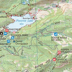
El Dorado National Forest 
Harvey West Cabin
4,720′ elev. on Silverfork American River, Gold Rush
Loon Lake Chalet
6375′ elev. near Georgetown, Gold Country California
Robbs Peak Lookout
Robb’s Hut / Robbs Cabin
6686′ elev near Placerville, Gold Country California
Sly Guard Cabin
Sly Park @ Jenkinson Lake, near Placerville, Gold Country California
Van Vleck Bunkhouse
6549′ elev. near Georgetown, Gold Country California
download PDF info sheet
Lassen National Forest
McCarthy Point Lookout
overlooking Mill Creek Canyon and Ishi Wilderness
ranger & info 530-258-2141
Mendocino National Forest
Pine Mountain Lookout
>>>> Renovated & ReOPENS soon! April 2020
4400′ elev. over looking Eel River wilderness
ranger & info 707-275-2361
Plumas National Forest
Crocker Guard Station
5700′ elev. near Meadow on back road
Lake Davis Loop, way out behind Portola, California

San Bernardino National Forest
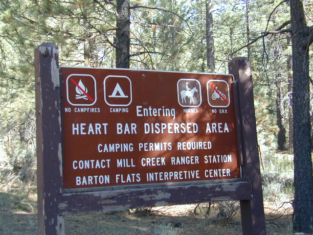
Coon Creek Cabin
Actually this one is a reservable group campground – next to a set of historic cabins. Big Bear Area Group Camp Site. Heart Bar Rd #1N02 near Angeles Oaks, CA
Morton Peak Fire Lookout
(no longer available overnight stays 2019)

Sequoia National Forest
Big Meadows Cabin
Big Meadows Guard Station
off Big Meadows Rd #14S11
7600′ elevation; located in between Sequoia NP & Kings Canyon NP
Camp 4 ½ Cabin
1100′ elevation; Lower Kings River
near Pine Flat Lake, CA
Grouse Valley Cabins
3 cabins near lakes; Giant Sequoia National Monument, Western Divide
4800′ elev.
Mountain Home Guard Station
Mountain Home State Forest, Sequoia Groves
6000′ elev. near Springville, CA
Needles Fire Lookout
(destroyed in structure fire 2011)
Oak Flat Lookout
Oak Flat Cabin Rental
4900′ elevation; Kern River canyon near Lake Isabella
Poso Guard Station Cabin Rental
open all year round, 4500′ elev. near Kernville, CA
Quaking Aspen Cabin Rental
Giant Sequoia National Monument, Western Divide Highway near Ponderosa, CA
Wishon Cabin Rental
Tule River, Giant Sequoia National Monument; open all year round. 4000′ elev. near Camp Nelson, CA
Shasta/Trinity National Forests
Forest Glen Guard Station
near Trinity River & Forest Glen, CA
Frog Meadow Guard Station
7760′ elev. near Lake Isabella, CA
Girard Ridge Lookout
Historic Fire Lookout Tower
4809′ elev. near Dunsmuir, CA
Hirz Mountain Lookout Tower
Hirz Mtn. Fire Watch Tower Rental
overlooking Shasta Lake, CA
(currently closed for repairs 2019)
Harris Springs Guard Station
near McCloud, CA
Little Mount Hoffman Lookout
Mt. Hoffman Rental
7000′ elev. near McCloud, CA
Post Creek Guard Station
near Hayfork & Platina, CA
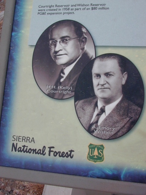
Sierra National Forest
Camp Four and a half Cabin
Camp 4 ½ Cabin Rental
Lower Kings River, open all year round
1100′ elev. near Pine Flat Reservoir
Six Rivers National Forest
Bear Basin Butte Cabin & Fire Lookout
elevation 5300′ in Six Rivers NF / Smith River NRA
(road damage & access issues 2017)
Tahoe National Forest
Calpine Lookout Cabin Rental
near Sierraville, CA
Sardine Peak Fire Lookout
overlooking the Sierra Buttes and serene Lakes Basin, Yuba Rivers, North Gold Country CA


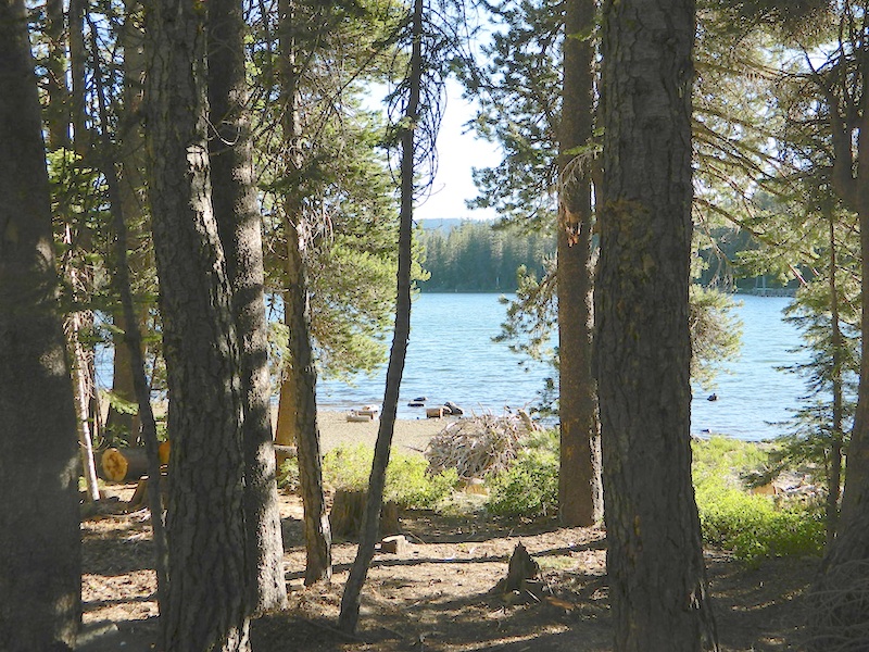
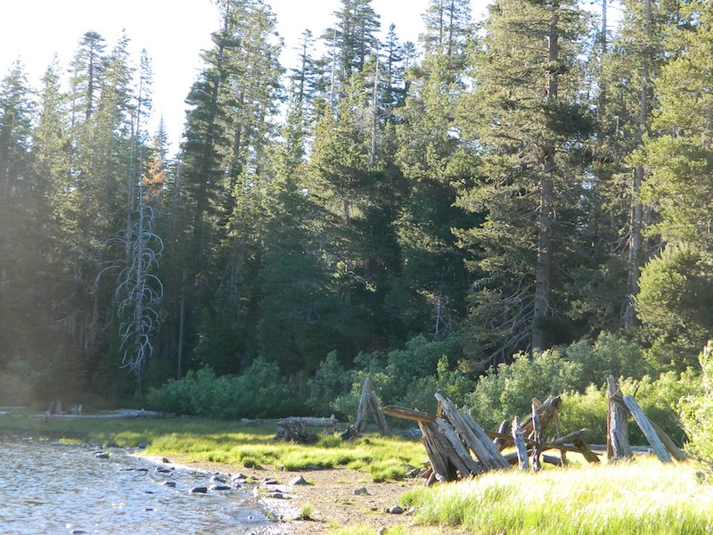


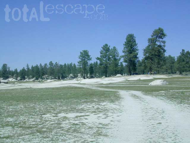
 This Baja National Park campground is more like dispersed, or open camping around lake shore. Very popular place in the summer months & if you want seclusion camp away from the lake, deep in the forest. The best quiet spots are located in the north east vicinity.
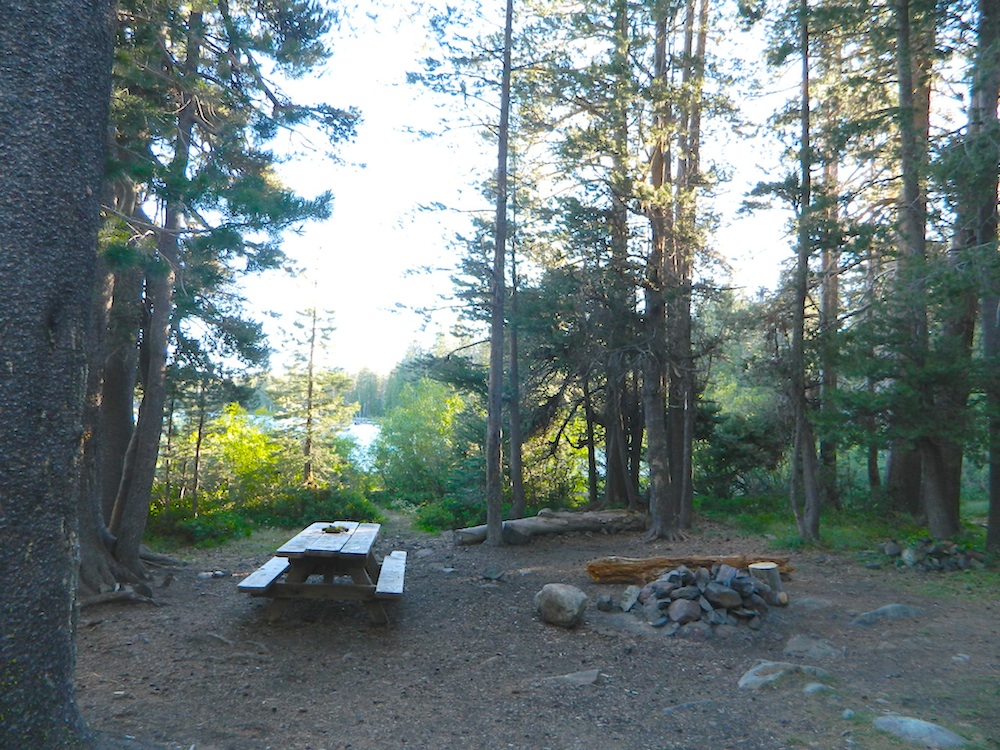
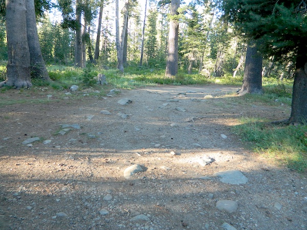
 BRING EVERYTHING = ice chest w/ block ice, drinking water, flat tire repair kits, tow strap; extra blankets, medication, first aid kit. There is no store within 30+ miles of here, and the dirt road is very long (both ways) – so it is best to be prepared with all food and beverages.
 No pavement, no picnic tables.
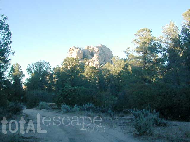


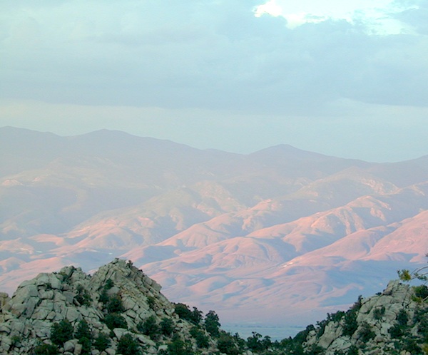
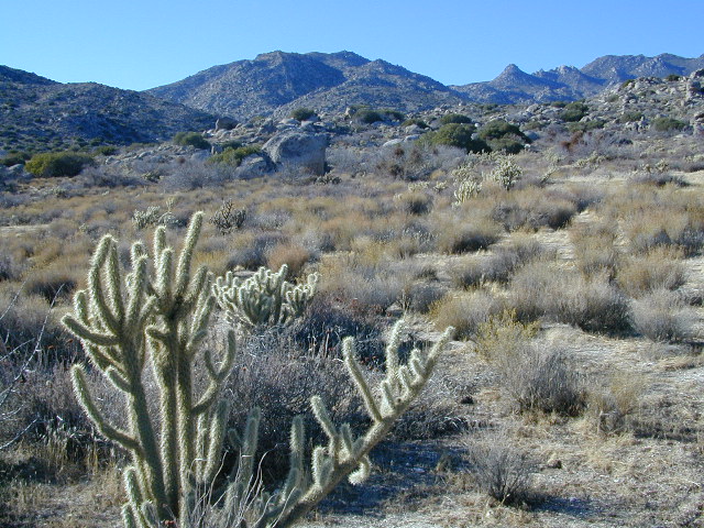
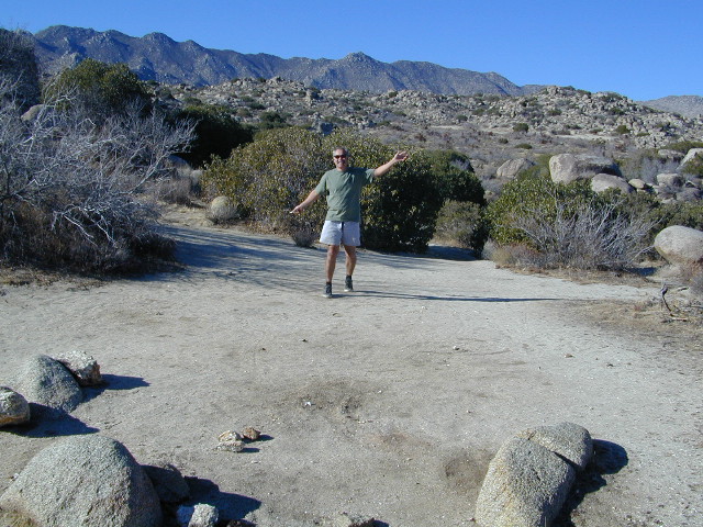
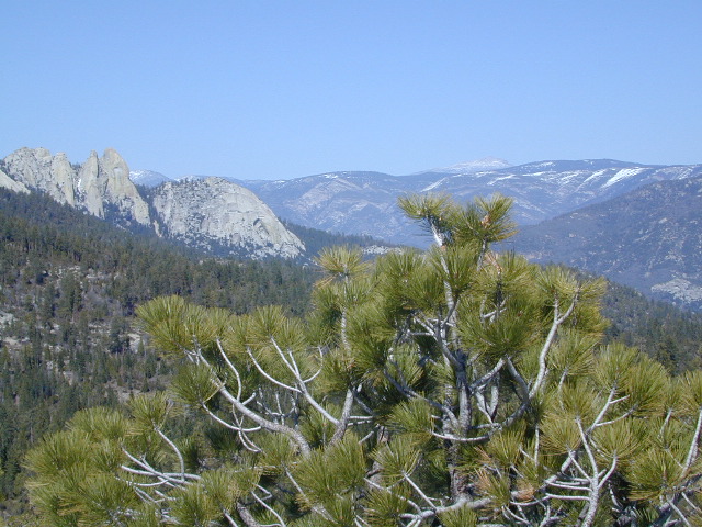
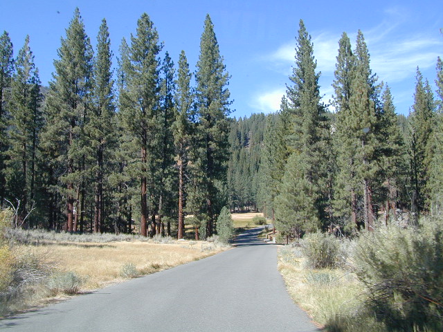
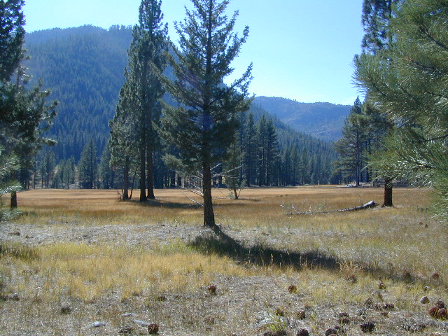
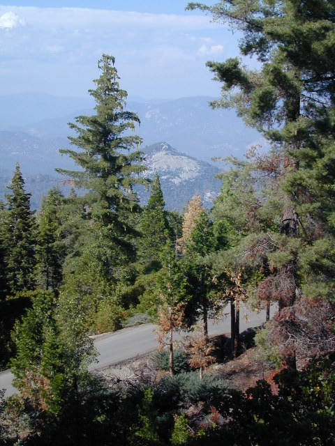
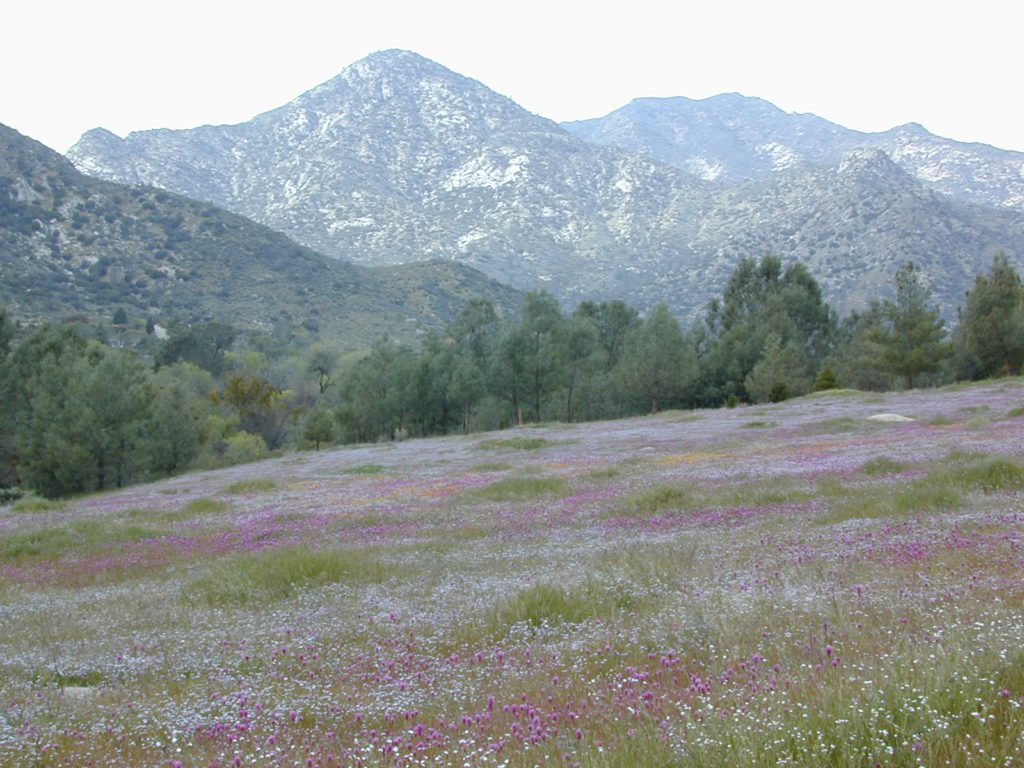
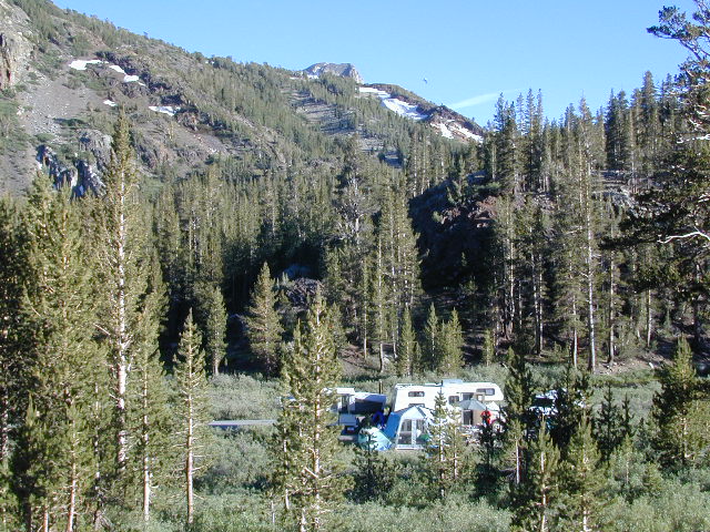
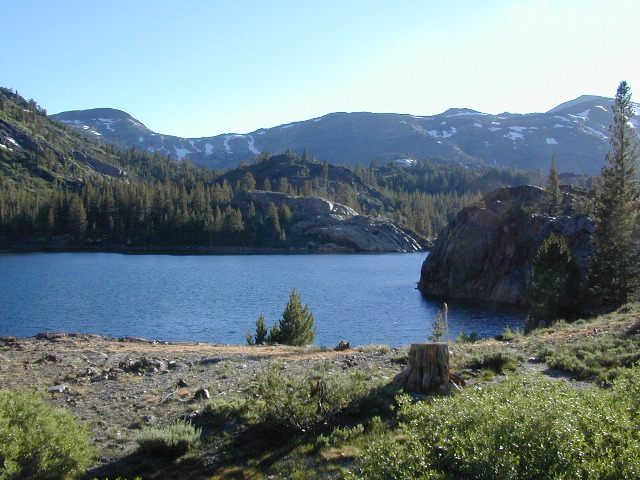
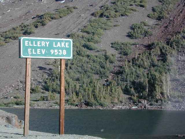
 California Terrain