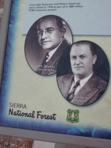
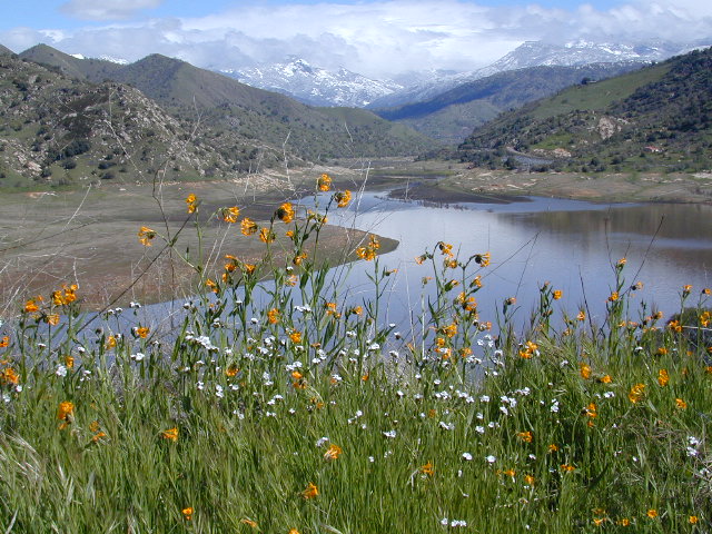
Lake Wishon – Sierra NF
Western Sierra Nevada Lake
Central Sierra California

East of Fresno, CA
East of Shaver Lake
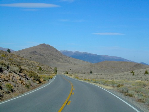
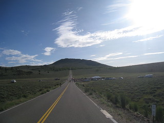
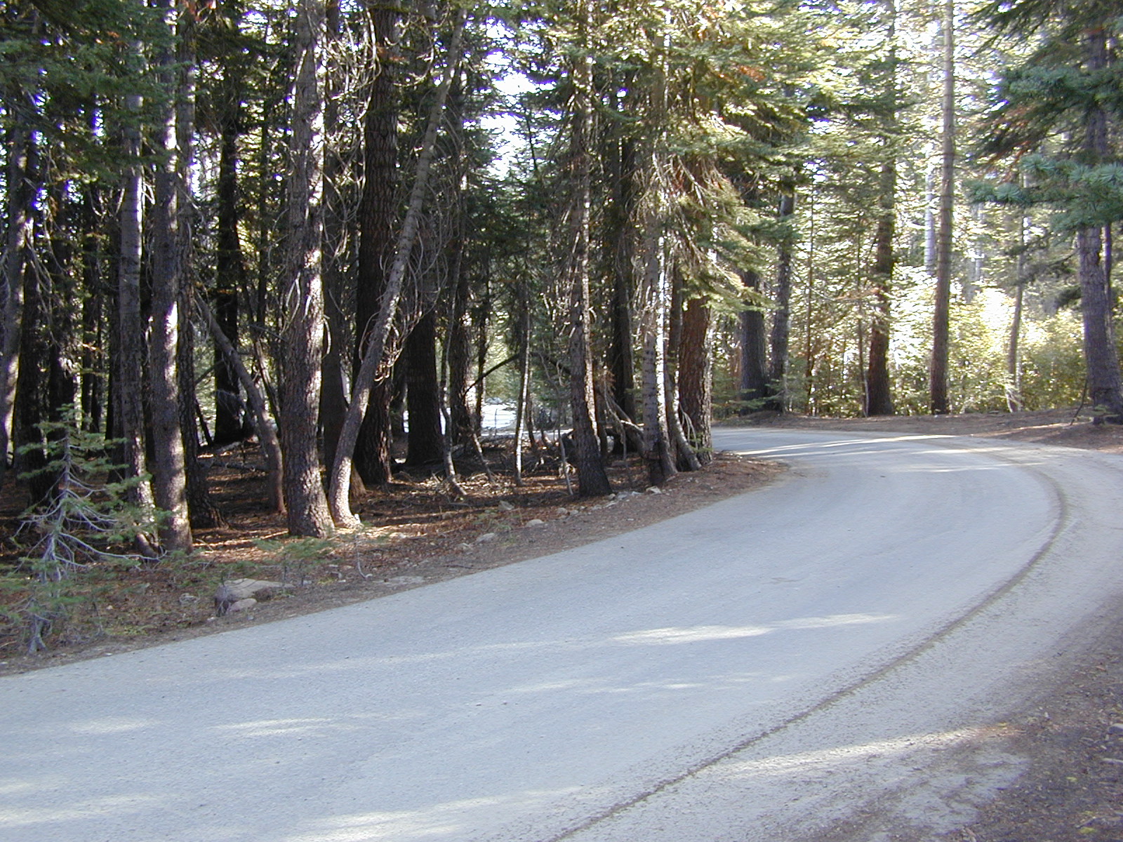
EB from Fresno, Hwy 168 up to Shaver, w/ another 30+ miles on paved backroads
(Dinkey Creek Rd & then McKinley Grove Rd)
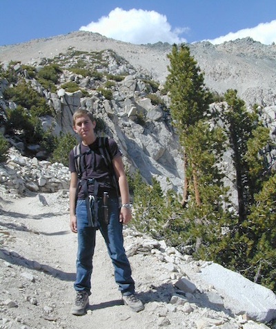
Way, way back, beyond Dinkey
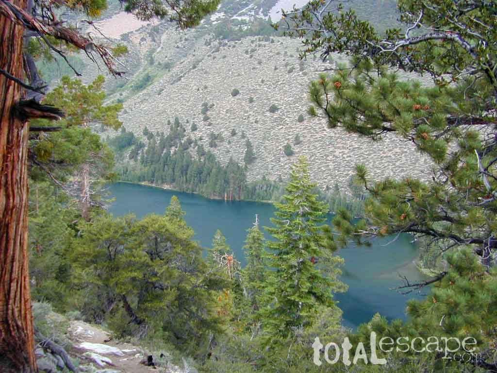
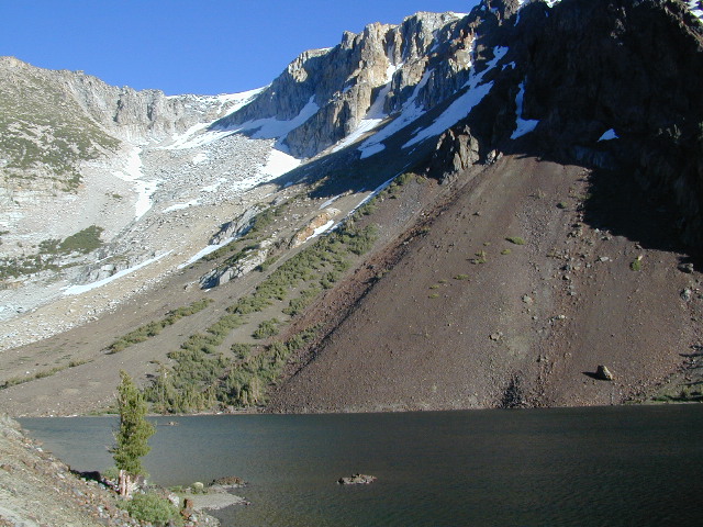
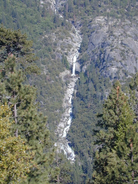
You gotta really wanna BE at places like this. Magical High Sierra mountains – California’s finest. Sheer beauty surrounds this lake w/ granite domes, granite cliffs, granite trails, forests, peaks and plenty hiking, fishing, water and boating. It does take planning (way ahead) to make it out here, cuz the area is only accessible during summer months. Typical of high altitude lakes, snow buries them annually and the roads get closed off to the public (usually NOV-MAY is winter). Some backcountry routes become snowmobiling trails during winter, and the Sierra National Forest has plenty of great snomo action (if snow is deep).
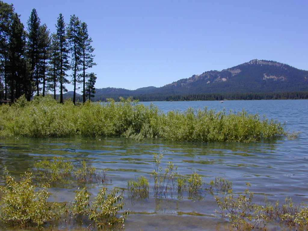
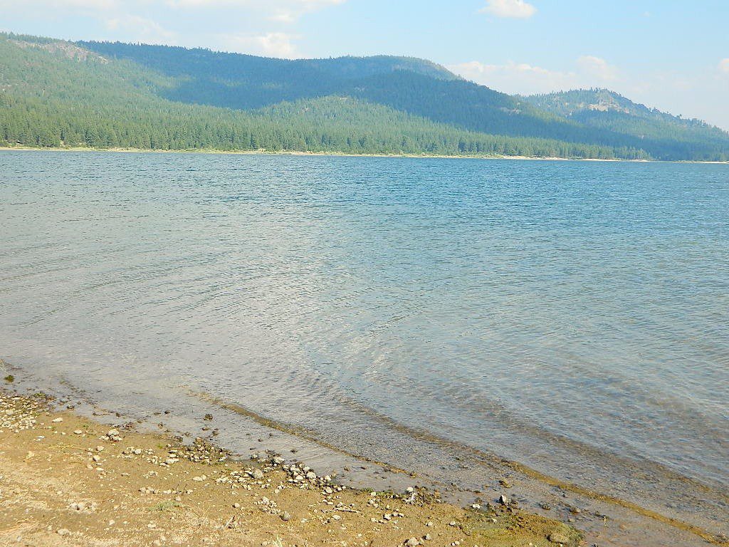
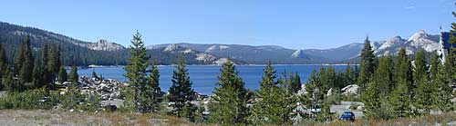
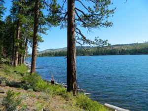
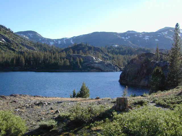
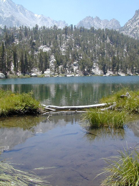
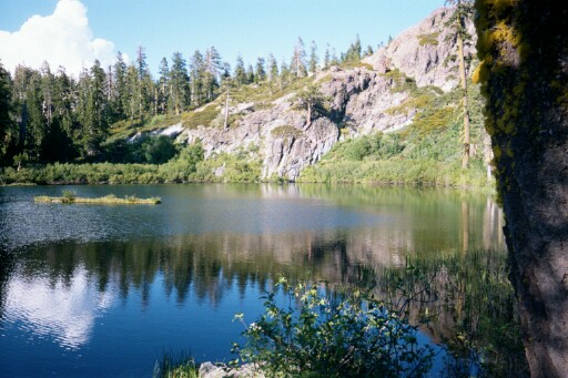
Wishon Lake, California
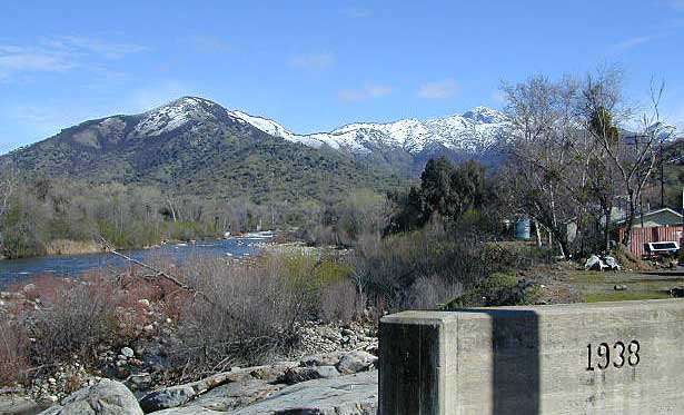
elevation: 6600′
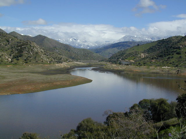
High Sierra Granite Reservoir with pines trees and rocky, granite shoreline. Not nearly as amazing as its cousin w/ the domes to the north, Courtright, Wishon has less granite & less wind, but more accessible backroads to explore, plus more car camping options. Both lakes are part of the Helms Creek hydro-electric project (dams) that make up the PG&E water infrastructure out in these parts – The Kings River Drainage System.
Backpacker trailheads, Woodchuck, Rancheria & Crown Valley all lead to dead end dirt roads – with nothing but solitude for miles & miles. Some might be passenger car accessible. Winter weather changes dirt road conditions (often).
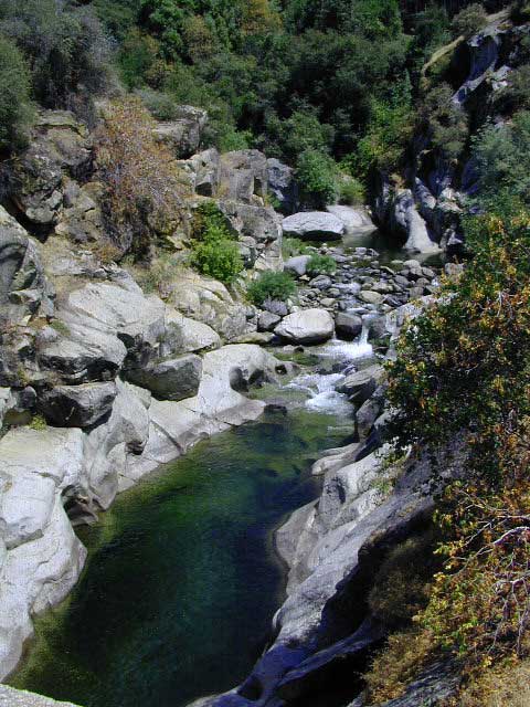
The Kings River Geological Area is nearby, as well as both the John Muir Wilderness & Dinkey Lakes Wilderness.

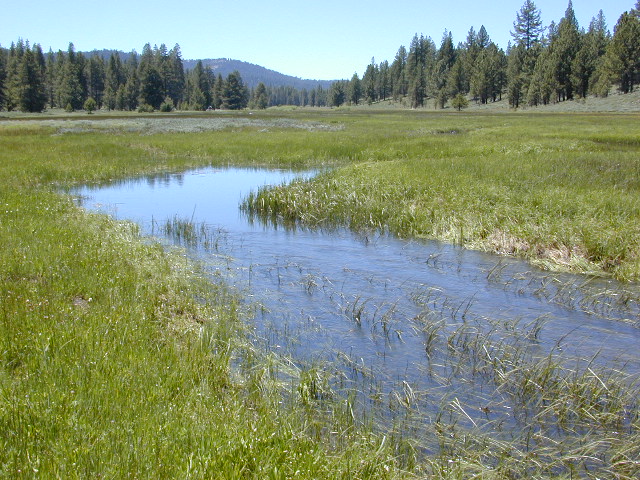
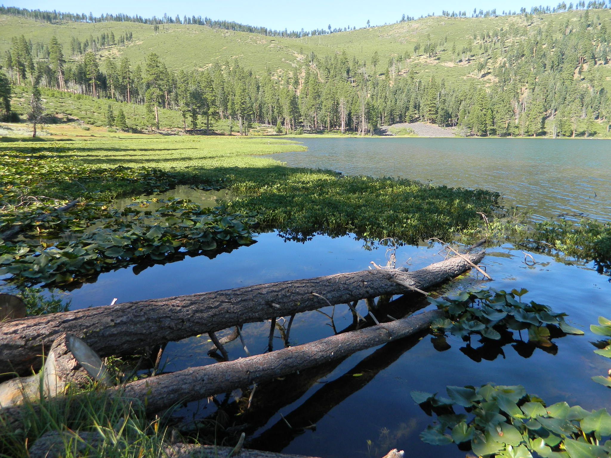
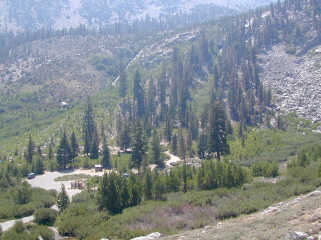
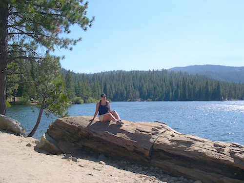
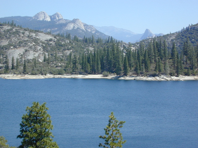
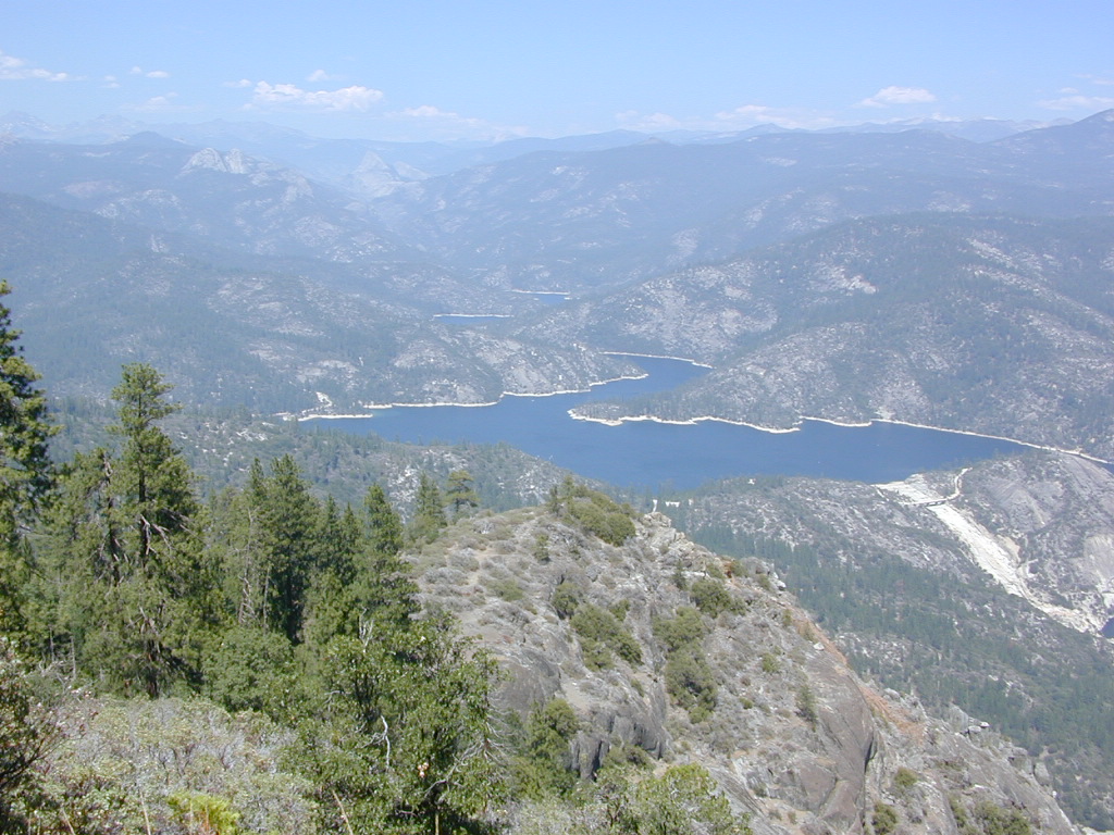
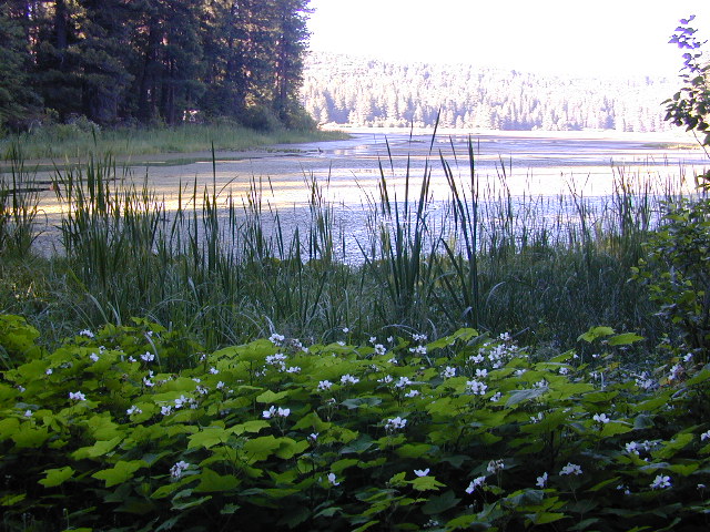
Large Reservoir with 8,000-10,000′ high sierra mountain peaks surrounding. Pine forests, views, fishing, camping, hiking in every direction, secluded dirt roads. Perfect high elevation trailheads, next to John Muir Wilderness. Great for backpackers!
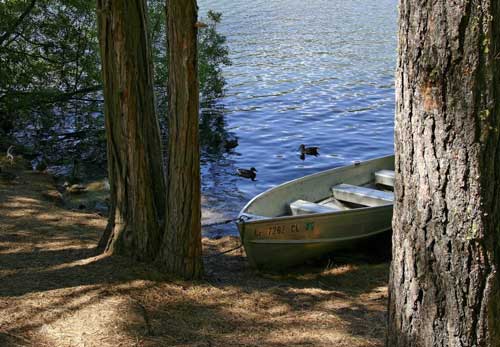
All boating, but no waterski or jet ski.
One public boat ramp. Fishing boat rentals available.
WARNING: Water level changes daily.
lake area recreation:
Backpacking
Boating
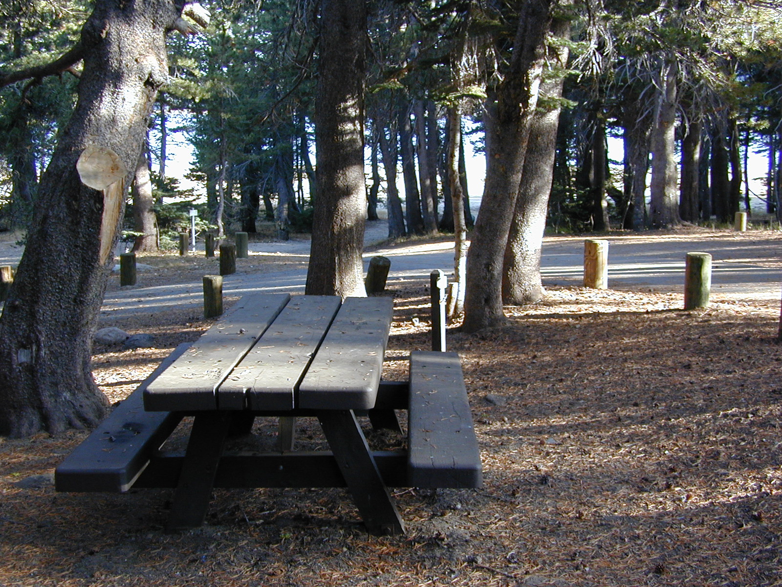
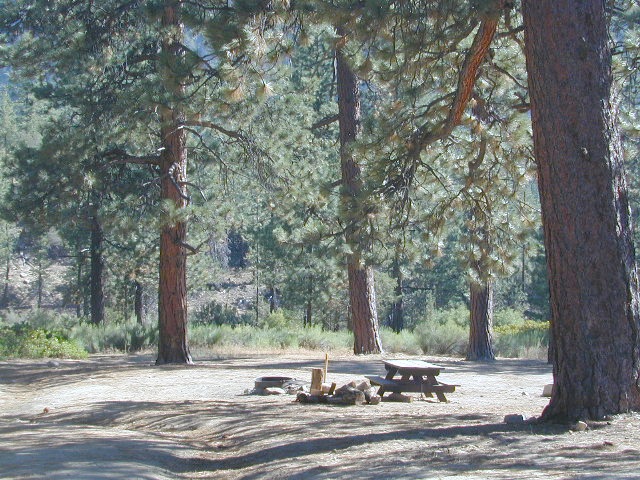
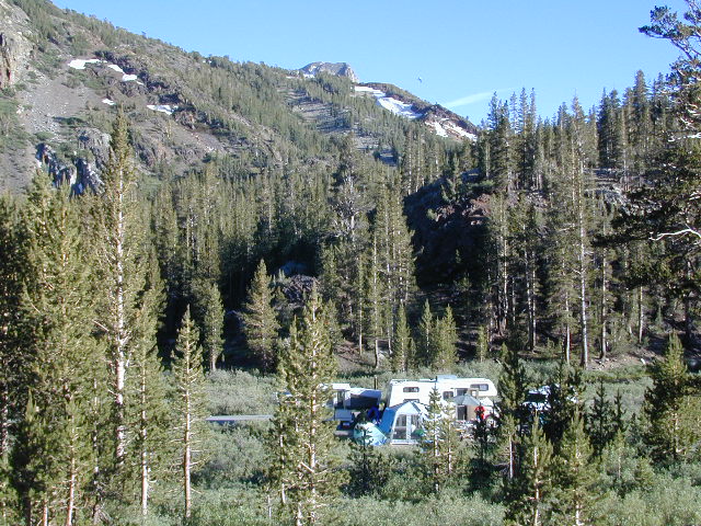
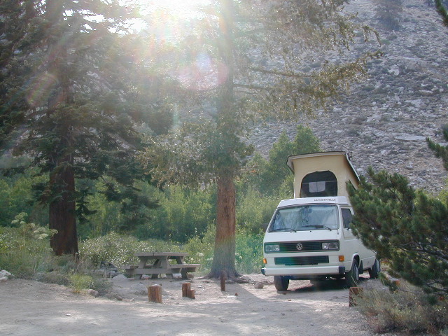
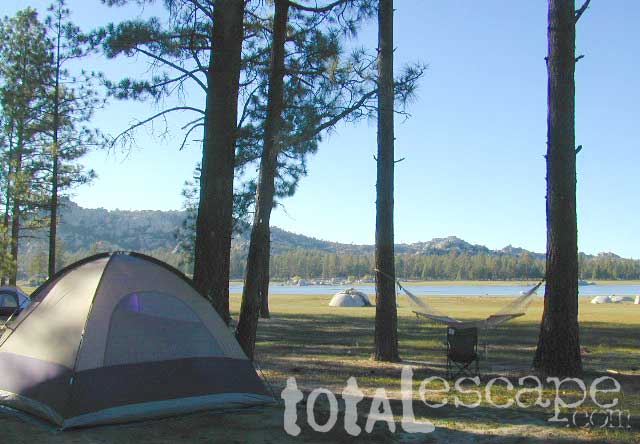
Campground Camping
Dinkey Lakes Wilderness
Fishing
Hiking
Horse Pack Trips
John Muir Wilderness
Mountain Biking
Primitive Camping
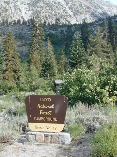
Sierra National Forest
Snowmobiling the Sierras
Spanish Lake 4×4 Route

Wishon is a summer vacation paradise for trout fishing, hiking, backpacking and back road exploring.
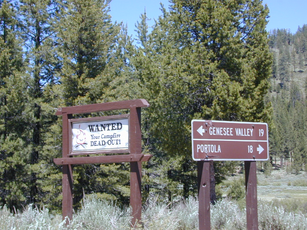
CLOSED FOR WINTER: NOV-APRIL = Snow closes the road for winter. For all you hardcore campers and hikers, you must call ahead to see if roads are open. It is rural forest, well traveled, but snow storms will shut everything down out here (for many months). Although, in some mild winters you can drive as far as Dinkey Creek on pavement. Gates are locked beyond that.


Central Sierra Wishon Lake Camping
LilyPad Campground @ Wishon Lake
Upper Kings Group Campground (by reservation only)
helpful numbers:
High Sierra Rangers Office: 559-855-5355
Pineridge and Kings River Ranger Districts
29688 Auberry Road, Prather, CA 93651
Dinkey Creek Ranger Station
(June thru September)
559-841-3404
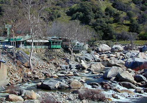
Wishon Village RV
66500 McKinley Grove Road, Shaver Lake, CA 93664
559-865-5361
Other places nearby

Black Rock Lake
Sierra Forest Road #11S12
Courtright Lake
Dusy Ershim 4×4 Trail
Dinkey Creek Campground
Dorabelle Campground
Gigantea Campground
McKinley Sequoia Grove
Sawmill Campground (dirt road)

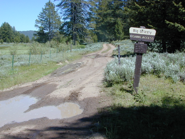
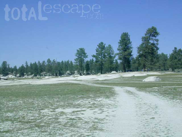
Free, primitive or open camping abundant on the dirt backroads in Sierra National Forest. 4 wheel drive is not required for most routes, but a high clearance rig would help. Some gravel roads are graded annually and suitable for passenger cars – during summer months and only for about the first mile or two, off of the main road (pavement). Mud and snow are common on backroads!

nearby towns:
Fresno, CA
Huntington Lake
Lakeshore
Pine Flat
Prather
Shaver Lake

wish on
NOT TO BE CONFUSED WITH:
Wishon in Giant Sequoia & Wishon @ Bass Lake
There is another popular camp spot called Wishon Camp – on the Western Divide Highway, much further south in the Sequoia National Forest.
Wishon Campground on the Tule River in the Giant Sequoia National Monument. Just up from Springville, CA
And also, the Bass Lake Wishon; there is another WISHON Campground at popular Bass Lake, South of Yosemite NP.


 BRING EVERYTHING = ice chest w/ block ice, drinking water, flat tire repair kits, tow strap; extra blankets, medication, first aid kit. There is no store within 30+ miles of here, and the dirt road is very long (both ways) – so it is best to be prepared with all food and beverages.
 No pavement, no picnic tables.
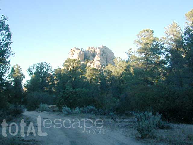
 OHV trails are nearby. OFF ROADING, dirt biking and 4×4 routes are essentially any dirt road that is within this forest; Drive slower, keep your ears peeled and watch out when they pass you, cuz they are most nimble and quicker.
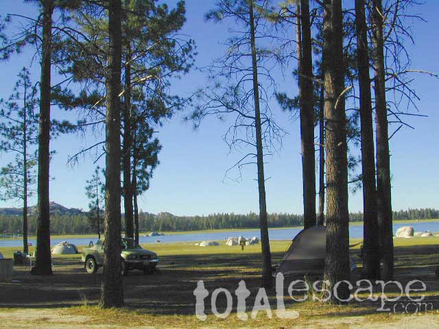


