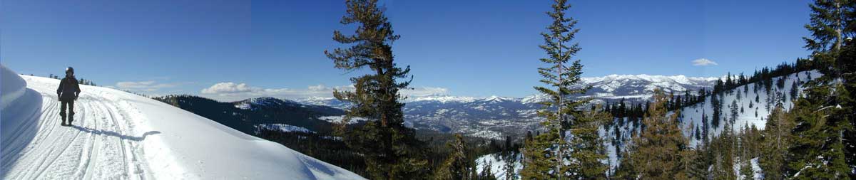
Tag Archives: snow

30N16 – Lassen NF

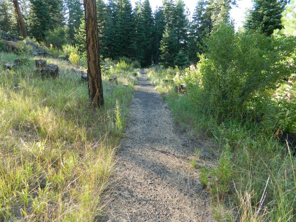
Nanny Creek Trail
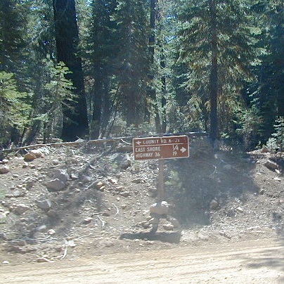
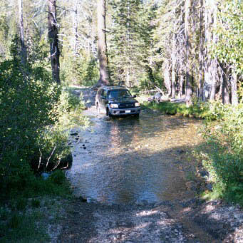
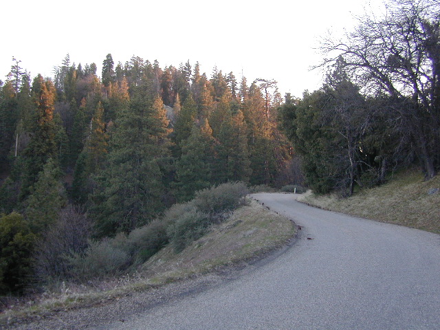
Lassen Road 30N16
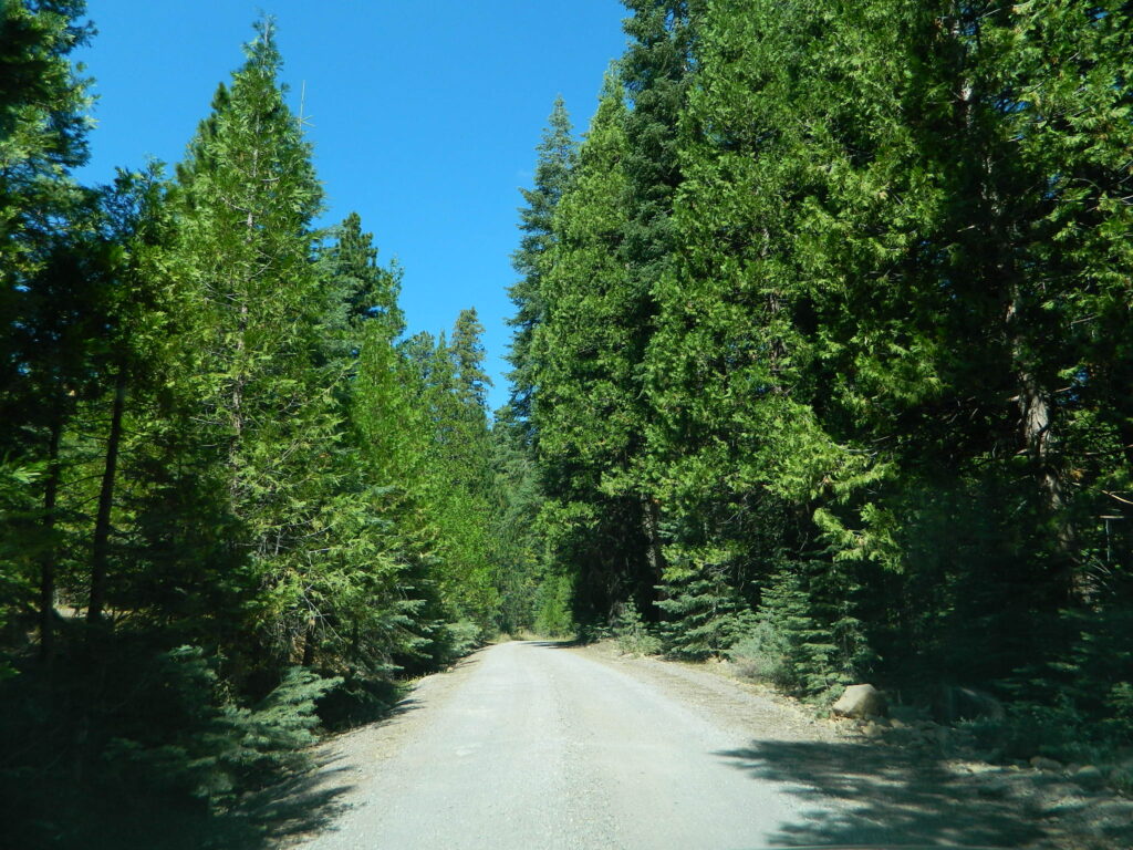
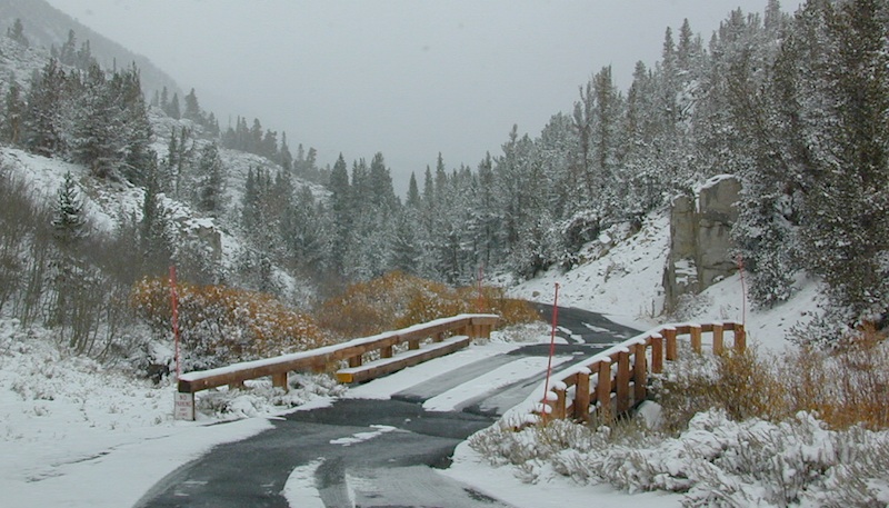
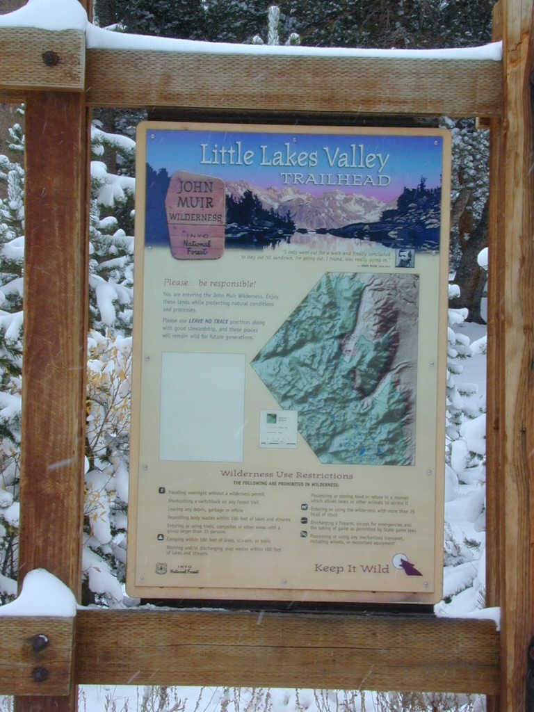
30N16 entrance

Lassen Back Roads
Lassen Rd #30N16 – Lassen National Forest
Nanny Creek / McGowan XC
E of Mineral, CA

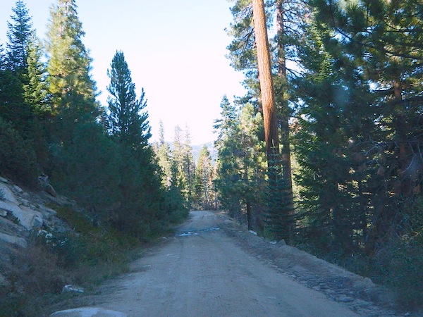
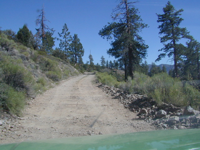
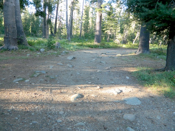
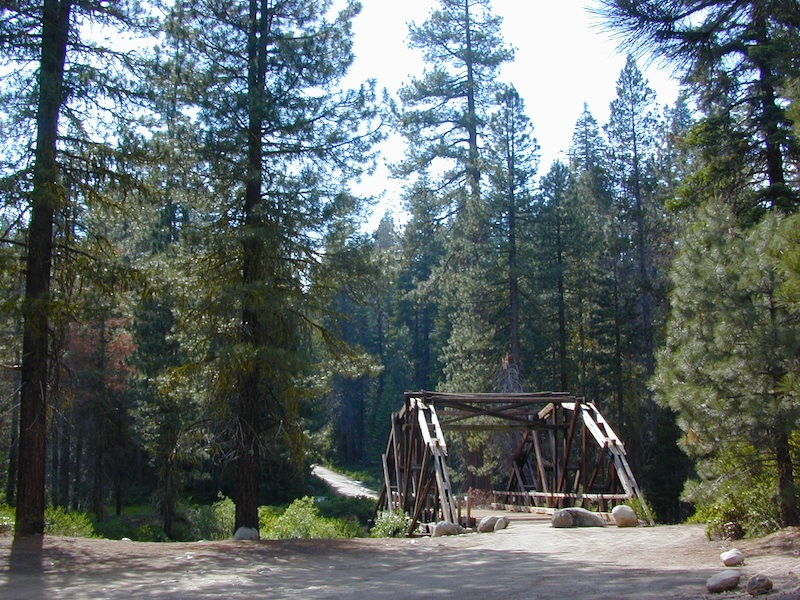
Narrow dirt road thru dense forest, connects Highway 36 to Lassen Route #29N22 (Dry Lake Trail) and then heads west to meet with Lassen Road 17 (aka #31N45)
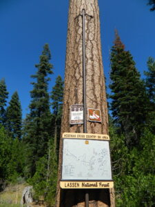
McGowan at SR 36

McGowan Cross Country Ski Area (USFS link)

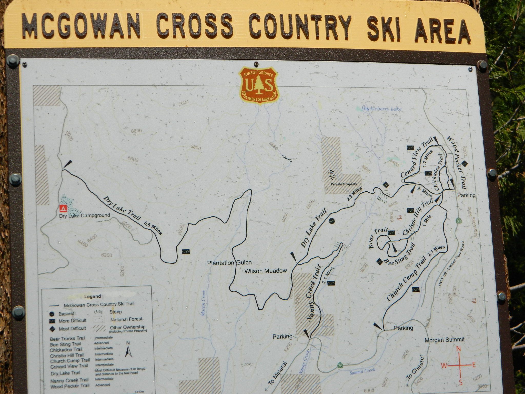
The McGowan Lake Cross-Country Ski Area has been in existence since 1982 and offers 10 miles of trails, 5 miles of which are periodically groomed.

Literally in the shadow of Lassen Peak, McGowan area trails wander through mixed conifer forest and are popular with beginning to advanced skiers. Elevations range from 5,020 to 6,200 feet. McGowan cross-country ski trails are closed to all motorized vehicles.

snow

XC Ski McGowan
click to enlarge map

NOTE: No OHV riding, nor snowmobiling on this route!

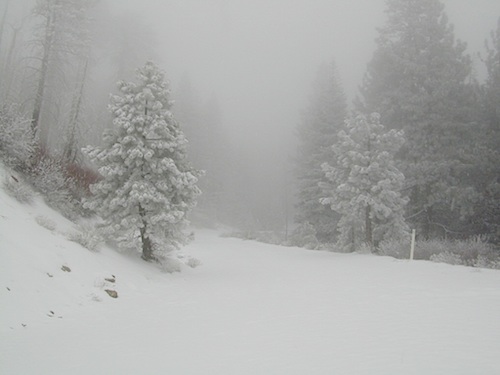
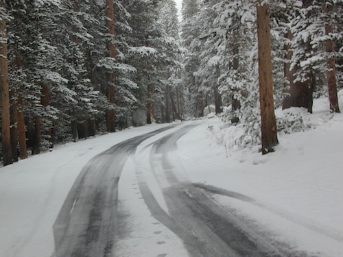
WINTER – snow fall begins as early as November and lasts thru May. Road can be muddy in late spring.

SUMMER – this dirt road is accessible by automobiles during warmer months only and is not gated.
campfire

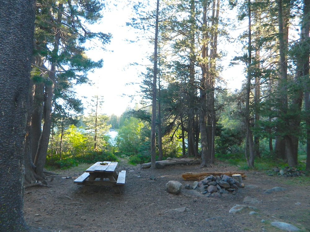
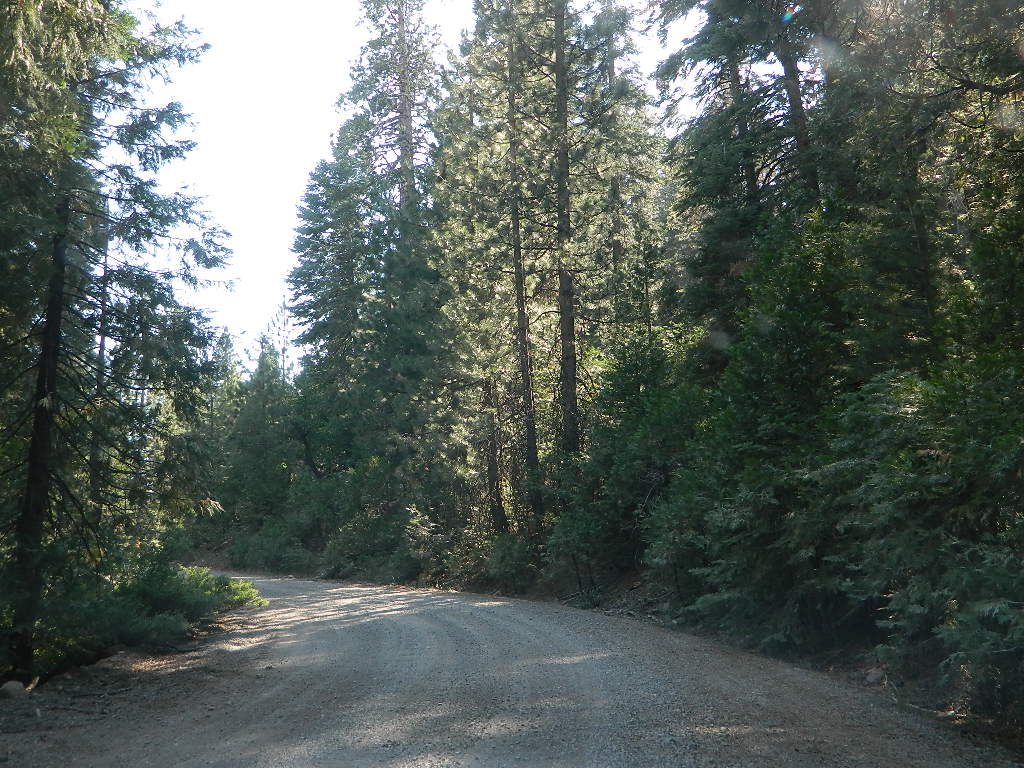
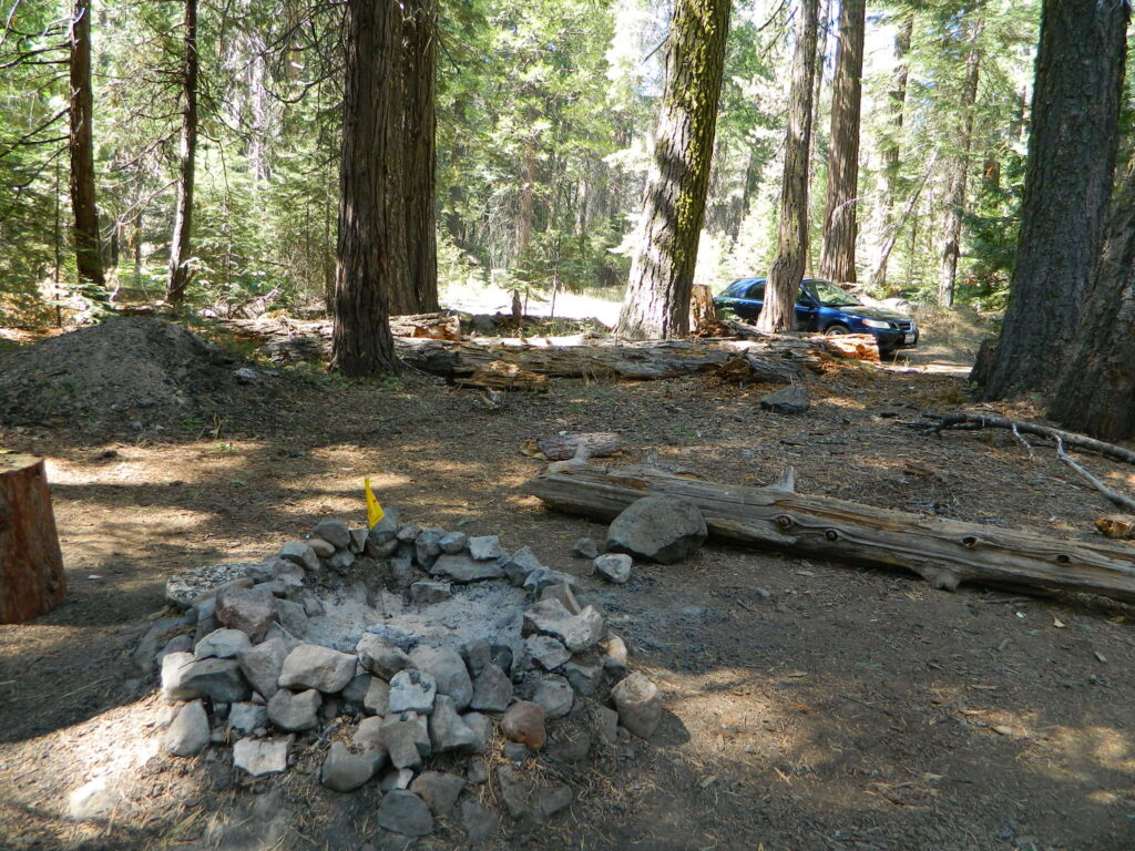
A few dispersed campsites along route 30N16, within the first mile from the pavement (Hwy 32). These precious few camps are usually in high demand during summer months! Head up hill a few more miles, deeper into the forest and find a real secluded site, dispersed style.  Campfire Permits are always required for back country fires; found at nearest ranger station USFS in Mineral, CA

camp

boondock lassen

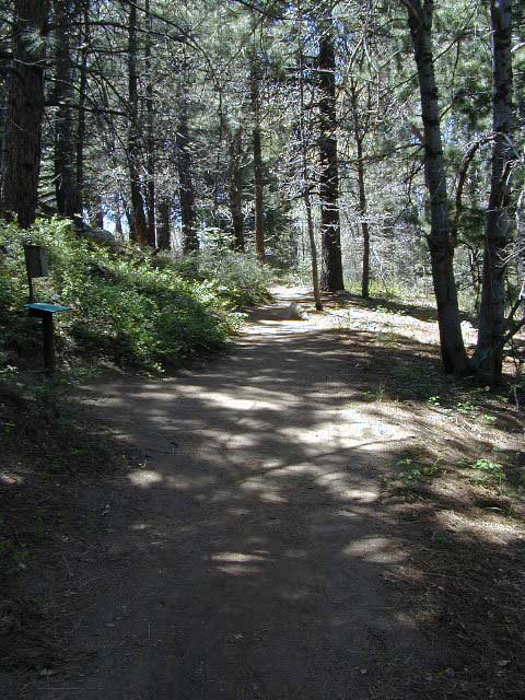
The first portion is a 2.1 mile long dirt road follows Nanny Creek about a mile, then it banks left, uphill to meet with 29N22. Sugar Pine Trailhead is located on this upper section of 30N16; a small wooden sign in a dense thicket can be seen on right side of road.

Sugar Pine Trail on GoogleMaps
gravel road summer

Junction with 29N22
#30N16 @ wide intersection w/ #29N22 – right turn for McGowan Lake, Christie Hill and the Volcanic National Park.

Road 30N16 continues westbound – Left turn for Heart Lake Trailhead, secluded boondock campsites and eventually, this dirt road ends @ Lassen Road 17 (#31N45) which is also a dirt road (and locally known as the Viola-Mineral Road), connecting Hwy 44 to Hwy 36.

DEEP SNOW can keep these dirt roads closed well into summer months, depending on the snow year. Keep this in mind when planning any early season recreation.
hiker

Broke Off Trail Lane intersects this 30N16 road right at the highway (36). It is the hard left that heads steeply up the rocky incline and skirts the highway headed west; Connects to the White Fir Lane road system above the small town of Mineral, CA.
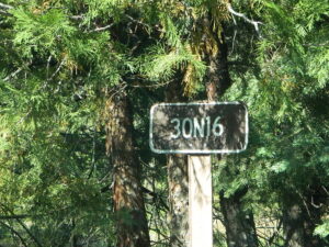
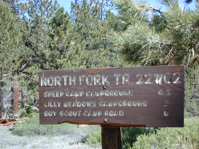
30N16 sign

locations nearby:

CA Holiday

California Holiday Calendar

Annual calendar holidays & night skies for 2023

alex valley

This list below is published by Total Escape, so you can easily plan your weekends away and your outdoor vacations, your fishing trips, your stargazing nights, your valuable three day weekends

holiday dates for 2023

JANUARY

  • Sunday, January 1   New Year’s Day
  • Friday, January 6   (full moon)
  • Quadrantid Meteor Shower
  • Monday, January 16   Martin Luther King, Jr. Day

FEBRUARY

  • Thursday, February 2   Groundhog Day
  • Sunday, February 5   (full moon)
  • Friday, February 14     Valentine’s Day (full moon)
  • Monday, February 20     President’s Day Weekend
  • Tuesday, February 21   Mardi Gras Fat Tuesday
  • Wednesday, February 22  Ash Wednesday

MARCH

  • Tuesday, March 7 (full moon)
  • Sunday, March 12   Daylight Savings Time starts
  • Friday, March 17   Saint Patrick’s Day
  • Monday, March 20  Vernal Equinox (Spring)
  • Tuesday, March 21 (new moon)

APRIL

  • Saturday, April 1   April Fools Day
  • Sunday, April 2  Palm Sunday
  • Wednesday, April 5  (full moon)
  • Thursday, April 6   Passover
  • Friday, April 7   Good Friday
  • Sunday, April 9   Easter Sunday
  • Lyrid Meteor Shower
  • Wednesday, April 19  (new moon)
  • Saturday, April 22   Earth Day
  • Friday, April 21 Arbor Day

MAY

  • Thursday, May 5   Cinco de Mayo (full moon)
  • Sunday, May 14   Mother’s Day
  • Eta Aquarid Meteor Shower
  • Friday, May 19  (new moon)
  • Monday, May 29   Memorial Day

JUNE

  •  Saturday, June 3 (full moon)
  • Wednesday, June 14 Flag Day
  • Saturday, June 17 (new moon)
  • Sunday, June 18  Father’s Day
  • Wednesday, June 21 Summer Solstice

JULY

AUGUST

  • Tuesday, August 1 (full moon)
  • Perseid Meteor Shower
  • Wednesday, August 16 (new moon)
  • Thursday, August 31 (blue moon)

SEPTEMBER

  • Monday, September 4   Labor Day
  • Saturday, September 9  Native American Day
  • Saturday, September 23  Autumnal Fall Equinox
  • Thursday, September 14  (new moon)
  • Friday, September 29  (full moon)

OCTOBER

  • Monday, October 9    Columbus Day
  • Orionid Meteor Shower
  • Saturday, October 14 (new moon)
  • Saturday, October 28  (full moon)
  • Tuesday, October 31   Halloween

NOVEMBER

  • Sunday, November 5   Daylight Savings Time ends
  • Tuesday, November 7   Election Day
  • Saturday, November 11     Veterans Day
  • Leonid Meteor Shower
  • Monday, November 13 (new moon)
  • Thursday, November 23     Thanksgiving Day
  • Monday, November 27 (full moon)

DECEMBER

  • Tuesday, December 12 (new moon)
  • Geminid Meteor Shower
  • Thursday, December 21  Winter Solstice
  • Sunday, December 24  Christmas Eve
  • Monday, December 25   Christmas Day
  • Tuesday, December 26   (full moon)
  • Sunday, December 31  New Years Eve

Eastern Sierra Lakes

Camping Lakes – Campground Lakes
Lake Eastern Sierra California

There is not enough room on this web site to list every single alpine lake in the majestic Eastern Sierra range, since there are hundreds, but we highlight a few of the hike-in accessible ones & the more popular camping lakes below.

DSCN0100

June Lake Loop is a paved, scenic drive highway that has multiple lakes with cabin rentals, camping, fishing, boat rentals. One of the best places to spend autumn looking for fall colors among the aspens.

DanaMite also knows a picture is worth 1000 words, so just click links for photos & enjoy!!!

convict lake Eastern SierraLone Pine Lakes include –

  • Diaz Lake (on US Hwy 395)
  • Cottonwood Lakes camping (hike in)
  • Lone Pine Lake (hike in)

Onion Valley camping
@ Independence, CA
Kearsarge Lakes include –

(all are hike-in lakes)


mountains

Bishop Lakes include – (Hwy 168)

ROCK CREEK CANYON
US 395

Paved road dead ends at over 9000′ elevation
Wilderness Access w/ Trailheads & Parking
NFS Campgrounds
Remote Cabin Resorts

hiker

LAKE CROWLEY CA

CONVICT LAKE CA

Mammoth Lakes include – (Hwy 203)

Walker Lake @ June Lake Loop
Walker Lake @ June Lake CA

June Lake Loop includes – (Hwy 158)

MONO LAKE CA

US 395 @ LEE VINING, CA
Yosemite NP [EAST ENTRANCE]
Tioga Pass Lakes include –
(Hwy 120)

califrepublic

LUNDY LAKE CA

Bridgeport, CA

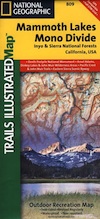
NatGeo Mammoth MapEastern Sierra topographic trail maps to lakes

Mono Maloy

Sierra Snowmobile Rentals

California Snow Mobiling

It was another one of those long and tiring days in the office and all I wanted to do was find myself on a open highway heading out of town. So right after the time clock struck five, I raced home, picked up my bags which were packed with my clothing and gear the night before, stopped at my girlfriends home to rescue her from the mundane existence of the apartment, we found ourselves finally on our way into snow country of the Sierra-Nevadas.

snowmo

Our destination was a small resort community called Lakeshore CA, situated on the shore of Lake Huntington between the Ansel Adams and John Muir Wildernesses in the Sierra National Forest. The drive up the mountain at dark was breath taking and clear, a night in March with a full moon out and a fresh blanket of snow gracing our presence all around us as we drove our truck through the winding mountain road. The temperature must of been in the teens that night but that didn’t faze us as we looked out of our car windows at the spectacular sight Mother Nature had in store for us. Soft snow pillows hung on tree limbs everywhere, glistening moonlight bounced off the gentle lake as we drove along side and huge snow drifts towered on the road shoulder as we traveled to our resort lodge destination.

califrepublic

lakeshoreAt first we thought it would require more map insight in finding the lodge under such wintery conditions. But to our surprise, the road we had been traveling on, Highway 168, just dead ended at our weekend getaway. The check into the lodge was fast and simple, soon we found ourselves settling into a decent rustic cabin with drifts of snow twelve feet high all around. Thanks to the constant plowing of roads, everything was accessible within reason due to El Ninos erratic behavior.
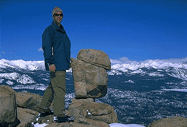

The next day we became captivated by the raw beauty of waking in a wintery wonderland, hardly hours away from the hustle and bustle of the big cities of Los Angeles and San Francisco. After a bit of exploring around the frozen lake, we took off on a rented snowmobile for the back country where we became amazed by gorgeous mountain lookouts.

Untouched wilderness full of snow-capped mountains, lost tranquil valleys, and frozen pools and streams locked in a time zone of raw beauty.

I wanted to stay gazing for hours but our destination was deep in the wilderness valley about twenty miles away. There after passing through woodsy trails and snowy spectaculars we arrived at our place of relaxation, the Mono Hot Springs. This out of the way spot has been frequented over the years by naturalists like ourselves who have pulled off the trail to dip into the eighty degree plus waters that caress the body with mineral rich fluids.

Never have I been so relaxed in an environment with no one around for miles, white snow all around with a trickling stream close by for awe and amazement. If it wasn’t for the deadline for the snowmobile return, we could of stayed at this place til sundown. The ride home on the machine, my body seemed to be thanking my mind for bringing it to such an inspiring place. My mood was calm and invigorated by the mountain waters & scenery.

epic views over snowy sierra
epic views over snowy Sierra

Back at the lodge after freshening up, my girlfriend and I discussed how lucky we were to be able to experience activities like these that really don’t require throngs of urbanites to complicate and mettle up our space. That night we enjoyed and excellent meal inside the lodge dining room which didn’t weight us down. Then over to the saloon we went to indulge in spirits, a small wedding party was happening were participates graced our presence with drunken humor. Even though they looked like the stereo typical yuppies, this didn’t bother us as we knew that they had come to the same spot to be enveloped by the sheer beauty and splendor of Lakeshore, California.
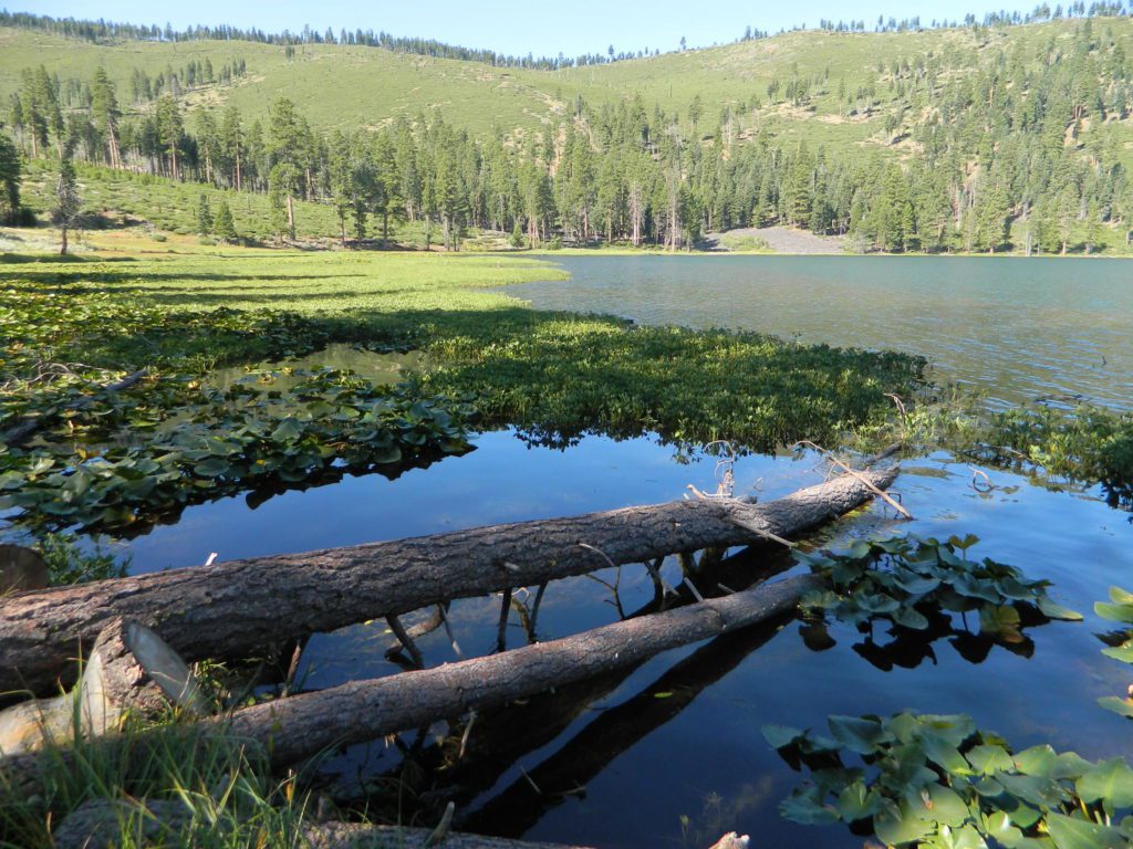
Spring 1998, by Chris DiNenna

snow

check

Large portions of the Sierra Nevada were greatly affected by recent wildland fires. This area was burnt by forest fire 2020 Creek Fire

From Mammoth Pool to Edison Lake, huge, old growth forests ignited in a major wildfire along the upper San Joaquin River, inside Sierra National Forest. Military helicopters rescued stranded campers by the hundreds, as seen on the nightly news.

BEWARE: this land may not look anything like the photos

Hill Top Hot Springs

Hilltop Hot Springs

hill top hot springs

High Desert: Hill Top
primitive hot springs

May also be known as Pulky’s Pool in hot springs books.

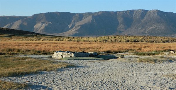
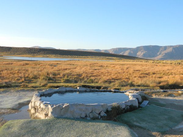
Hilltop is a new found favorite and one of the more scenic spots for a soaking tub in this region. Sitting out in the middle of a clearing, surrounded by marsh lands, this remote hot springs is a hike-in destination. No paved road, nor paved trail. The mountain and sky views from this tub are splendid, and if you time it perfect, you may have the place to yourself.

open all year
elevation:
6,900′

Located in the Long Valley Caldera, this area is managed by Bureau of Land Management

North of Bishop, CA
South of Mammoth Lakes, CA

marsh walk

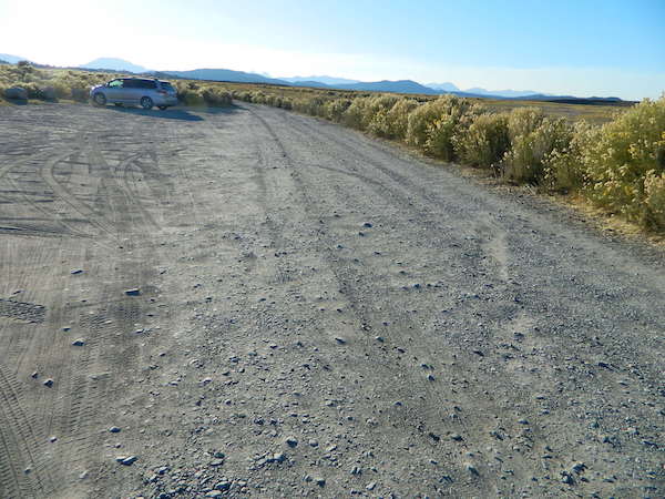
From US Highway 395 @  Benton Crossing Road – drive approximately 3 miles (passing dirt road Whitmore Tubs). Once you’ve crested a small hill, look for a gated dirt road on left, which leads a short ways, back through the sagebrush, to the parking area.

GPS coordinates: 37.6455, -118.8001 

The dirt parking lot is adequate enough to handle a dozen vehicles, and this place is so well known, that it gets a fair amount of traffic at any time of year.
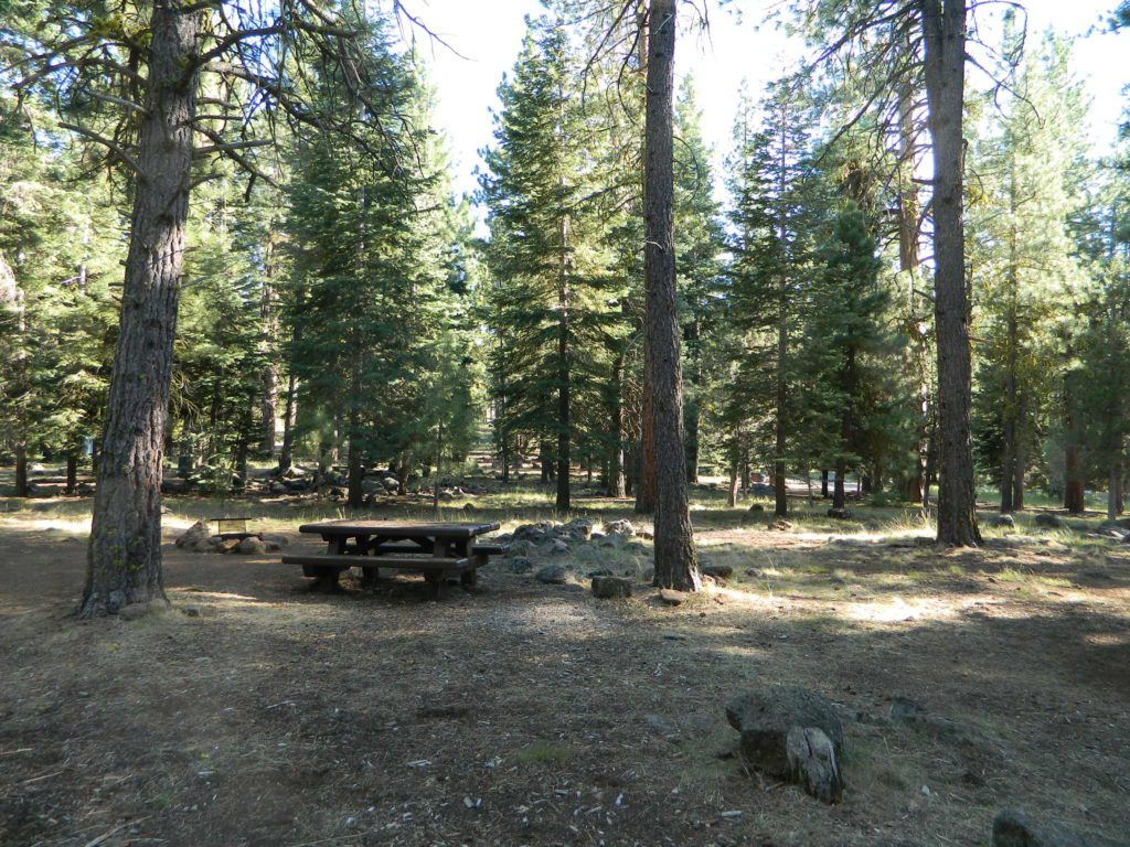
Rumor has it that Hilltop is one of the most visited hot springs near Mammoth Mountain; probably due to the proximity to the paved road. Cars and trucks, camper vans and RVs will be coming and going at all hours of the day and night. So consider yourself warned!

high desert lot

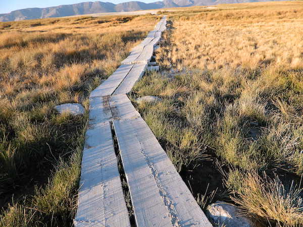
Gate and fence separate the parking from the trail, which leads a quarter mile (often over wooden plank boards) through alkali fields – out to the cement tub.

Only one, small makeshift bench next to the pool – and no tables, no seating, no facilities; Bring tarps, towels, ice chest and camp chairs (if you plan to stay a while).

empty hot pool

Plastic PVC pipes and control valve adjust water flow and temperature. If the valve is left ON (wide open) overnight, the small tub will be too hot to soak in the following morning.

camp

Camping options are pretty limited here. A small clearing for a tent, next to the parking lot; and one decent parking spot, large and private enough to call a camp site (at the dead end, past the parking).

The Eastern Sierra corridor of US Hwy 395 is far enough away that it cannot be heard from this spot.

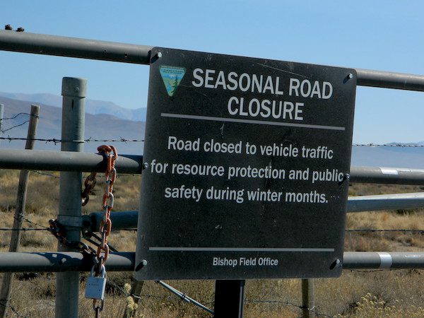
BLM gate at the paved road entrance reads: road is closed seasonally – assuming you can walk in during snowy winter months.

seasonal gate

Hilltop is one of several primitive hot springs in this immediate region. See Mammoth Hot Springs for more choices.

wildfire smoke 2020
Wildfire smoke in 2020 Creek Fire


Bracebridge Dinner, Yosemite

Ahwahnee Dining Room

Bracebridge Dinner
at The Ahwahnee Hotel

Yosemite Valley, California

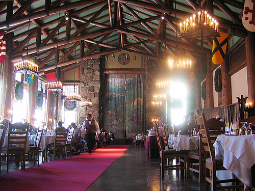
Celebrated annually since 1927, the Bracebridge Dinner transforms The Ahwahnee Dining Room into a Old English-era hall boasting Christmas cheer, beautiful music and a gourmet seven-course meal. The inspiration for this yuletide ceremony was Washington Irving’s Sketch Book that described Squire Bracebridge and English Christmas traditions of that period.

The Bracebridge Dinner is an elegant and artistic four-hour pageant of classic carols, Renaissance rituals and entertainment of the Middle Ages. More than 100 players create the roles of the Squire and his family, their servants, the Lord of Misrule, minstrels and other performers. The Ahwahnee Dining Room serves as the Great Hall and stage for the festivities and is decked with magnificent wreaths, an elaborate squire’s table, large banners and traditional Yuletide decorations.

Annual event, multiple nights: December

Yosemite National Park, CA

travelyosemite.com/things-to-do/specialty-events/holiday-events


Winter Wonderland. _DSC1280

Valhalla Holiday Gala

Valhalla Grand Hall, Lake Tahoe

Lake Tahoe Valhalla Gala

Enjoy the festive atmosphere of Historic Valhalla Grand Hall with an elegant evening of champagne, hors d’ouevres, fine wines and catered dinner at the annual Valhalla Holiday Gala Dinner. Each ticket includes a personalized handcrafted ornament, and you’ll also enjoy a silent auction before the end of the evening.

Annual event: December
Squaw Valley, Lake Tahoe, CA

valhallatahoe.com


Silver Lake @ Lassen

Lassen Camp Site

AUG 2021

both lakes listed below CLOSED, due to wildfire 

Lassen Volcanic National Park is CLOSED also.

Silver Lake @ Lassen

(Lassen Co)

6400′ elev. inside Lassen National Forest
East of Lassen National Park

Silver Lake Road #10
20 miles off Highway 89. Northbound, outside of Westwood @ Lake Almanor, take County Road A21 to County Road 110 (Silver Lake Rd)

a21sign

Dirt road boat ramp @ southern end of lake. Winter weather & snow closes this area annually, so this lake is mainly a summertime destination. Mid-week tends to be less popular for those seeking seclusion.

  • backpacking
  • fishing
  • camping
  • canoe
  • hiking
  • kayaking

Hiking trails lead to Caribou Lake, Emerald Lake, Betty Lake, Trail Lake, Shotoverin Lake & Caribou Wilderness.

campground

Silver Bowl Campground NFS

• Elevation: 6400′
• Number of Sites: 18
• Vehicle Accessibility: small RV
• Campsites Reservation: No
• Camp Fee: Yes
• Toilet: Vault
• Water: piped/potable
• Length of Stay: 14 Days
• Season: May – October
• Trailheads: Caribou Wilderness

Lassen National Forest
Almanor Ranger District
900 East Highway 36
Chester, CA 96020
530-258-2141

silverlassen

2 Silver Lake in East Lassen? Surely.

Only 12 miles apart. As the crow flies.

Largest is Silver Lake, south of Caribou Lake, Lassen National Forest. East of the National Park, accessible by vehicle. The popular one that is mentioned above.

camp

Small Silver Lake at 6600′ elevation, is a hike-in only lake. Inside Lassen National Park, west of Snag Lake and the Fantastic Lava Beds.

hiker

See all Silver Lakes in California

Grover Hot Springs

Grover Drive

Grover Hot Springs Park

JULY 2021 State Park CLOSED due to the wildfire, Tamarack Fire.

California State Park
Sierra Hot Spring Camping Resort
open all year

California State Park RV Winter Camping State Park Winter Camping Hot Springs XC Ski Winter Camping Tahoe Ski Camping Tahoe Snow Camping

Meadow Entrance

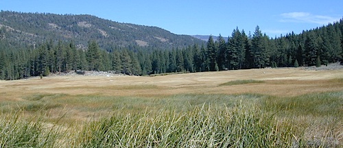
South of Lake Tahoe, hidden in a forest meadow near the small town of Markleeville, sits this super scenic, year-round camping resort in the Sierra Nevada mountains. Popular place for senior travelers, RV campers, families, snow skiers, and tourists.

No lodging available, no cabins. Only Campground Camping – Reservations are recommended. This is a popular destination for the Eastern Sierra Tahoe region. May thru September are peak season. During mid-winter a portion of the campsites are closed and the remainder may be on a first come, first serve basis. State Park is located 4 miles west of Markleeville, at the end of Hot Springs Road.

camping
fishing
hiking
hot springs
cross country skiing
stargazing

RV Camping

grover springs in the sierra

Camping and Day Use
530-694-2248

Pool Information
530-694-2249

California State Park

Piped water, flush toilets, showers, this is luxury camping by State Park standards. Hiking, fishing, stargazing. Quite an ideal spot, especially if you visit during a slow time. Surrounded by mountains that top 10,000′ elevation, expect to see some snow in the winter months.

SwimSuits Required

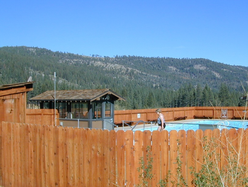
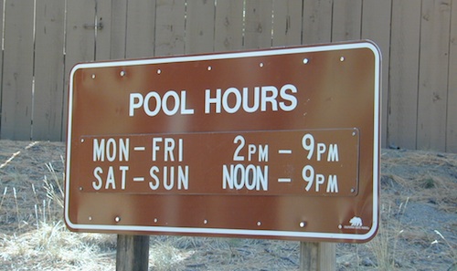
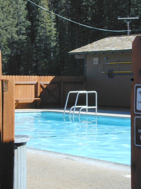
The hot pool resort is open to the public for day soaking w/ a fee. Wheelchair accessible areas. The pool hours tend to fluctuate with the seasons, so be prepared for anything. Even a snow storm!

Grover Hot Spring Campground

• Elevation: 5800′
• Number of Sites: 75
• Vehicle Access: RV 27′ max
• Campsites Reservation: Yes
• Camp Fee: Yes
• Length of Stay: 10 Days
• Season: Open all year
• Trailheads: Carson River

GROVER HOT SPRINGS SP Winter Camping Hot Springs

pool hours

hot pools

meadow views

Blue Lake Modoc

Modoc Blue Lake
Blue Lake in Modoc National Forest
Hiking Lake
Hiking Lake w/ Loop Trail in far Northern California

Blue Lake
Modoc National Forest

When you really wanna get away from it all, take a week off and head up to Modoc – the top northeast corner of California, where the volcanic mountains line the Great Basin.  The population is minimal, cattle are abundant and the campers few. Even in mid summer, this ideal lake campground rarely fills up.

camp

Jess Valley Road leads east off US 395 @ Likely, CA – 16 miles back to this hidden gem.

Headwaters to the Pit River.

NFS Campground is shady, well managed, and spread out on the eastern slope w/ numerous paved loops. Tent campers, cross country cyclists, truck campers w/ canoes, SUV families, motorhomes with kayaks and kids.

modoc map
Modoc Map

Blue Lake Campground NFS
• Elevation: 6,050′
• Number of Sites: 48
• Vehicle Accessibility: 32′ RV
• Camp Fee: Yes
• Campsite Reservation: No
• Water: Piped
• Length of Stay: 14 Days
• Season: May –October
• Trailhead: Lake Loop
• Boat Ramp: Yes

Group Camp Facilities (by reservation only)
Modoc NF Warner Ranger District
@ 530-279-6116

Lava Blue Lake
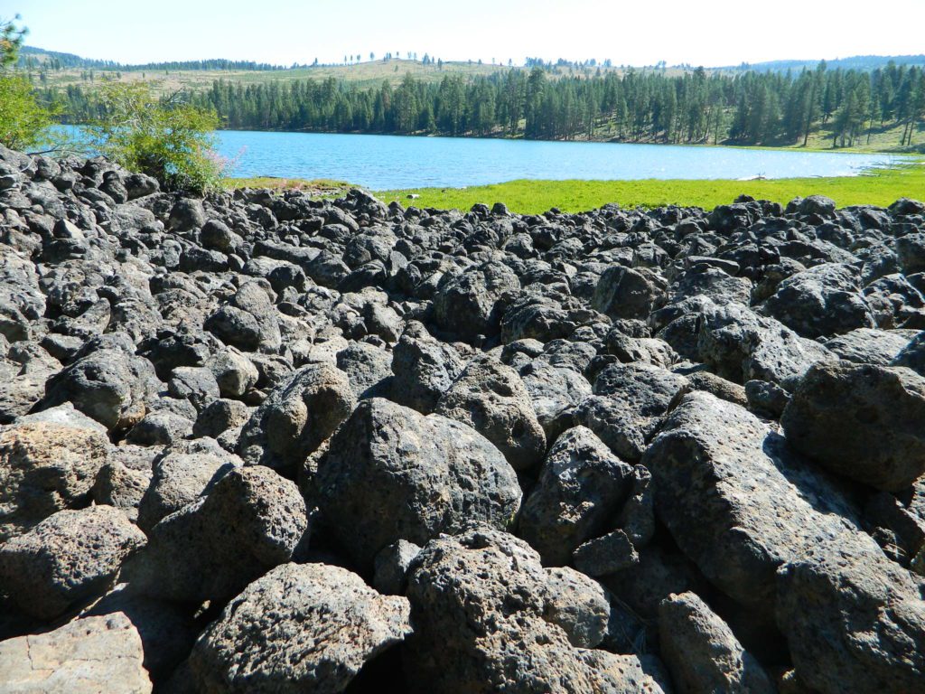
Lava Rock @ Blue Lake Loop, in Modoc County, CA

Blue Lake National Recreation Trail

hikerRight next to camp: A pretty much perfect LAKE LOOP (1.5 mi) hiking trail is worth a serious stroll; footbridge, wildflowers, fishing spots, minimal hills, lava rocks, and awesome scenery. Plenty of wildlife can be seen, including butterflies and bald eagles. Trail is shaded by tall white fir and ponderosa pine trees. Trailhead is located at the Day Use parking lot, w/ paved boat ramp, dock, and picnic area.

stars canoe  fish

  • back roads
  • boating
  • camping
  • canoeing
  • fishing
  • hiking
  • kayaking
  • mountain biking
  • picnicking
  • swimming
  • stargazing
  • wildflowers
  • wildlife

Wild Blue Lake

NOTE: not every CAMPSITE has a LAKE VIEW

Certain campsites are adjacent to the lake; some are set facing a meadow (Autumn w/ aspen groves), or the alpine forest w/ deer grazing. Perhaps an inner circle (interior) campsite, for those who like to be close to bathrooms and piped water. Large families will love the abundance of camp settings and accommodations.

Paved Loop
Plenty of Vault Toilets
Piped Water
Recycles & Trash Service

Large Campsites
Large Campsites can accommodate Motorhomes
  • no paved camp stall
  • no hook-ups
  • no dump station
  • no cell phone signalcamptruck

popular lake camp for motorhomes

When driving a large RV back in here, be courteous of other campers. Nothing sucks more than driving a long distance to the boonies, to arrive at camp just before dark and annoying everyone else already there.

Those needing to drive the campground loops (more than twice) looking for the biggest, levelest, best camp site – and burning $10 in gasoline doing so, should consider walking in.RV

Park that beast (near boat ramp area, before the camp entrance). Get out and walk the hills and loops, BREATHE & relax – prior to a choosing camp site.

Unhitch any tow vehicles; use that to scout out your perfect spot, if you cannot hike it. Trailers and large motorhomes will find this place ideal, but getting the right camp, can make all the difference.

Trail around Campground

Paved Trail around Campground

The wildfire: BLUE FIRE burned this region in 2001, but it is lush and green again (2019). Northern California gets some real weather. Rain and snow, more than half the year. The campground closes annually due to snow.

Kayaking is best done in the morning, cuz wind picks up in the afternoon. Canoes can launch at boat ramp, or at shoreline from trails near campsite.

Hiking trails can be found all around lake and campground. Wilderness access can be found at South Warner trailheads within a short drive from the lake.

Cyclists also love this camp, as it is located near a major highway and is a perfect place to really relax, soak in the scenery and get some quiet-nights sleep.

Modoc National ForestNFSlogo
225 West 8th Street
Alturas, CA 96101
530-233-5811


south warner sign

South Warner Wilderness is close by, driving distance; accessible by graded dirt roads. Signage is decent.

Modoc Forest Road #64 is a through-route, across the lower South Warners – 40
miles connecting to east side of the mountain, at Eagleville, CA.

Dirt Roads are suitable for trucks w/ trailers. SUVs and rugged passenger cars are okay. Motorhomes are not advised on this route.  Washboard conditions are typical. Winter closure on this route is common.

south warner mountains map

MODOC RD 64

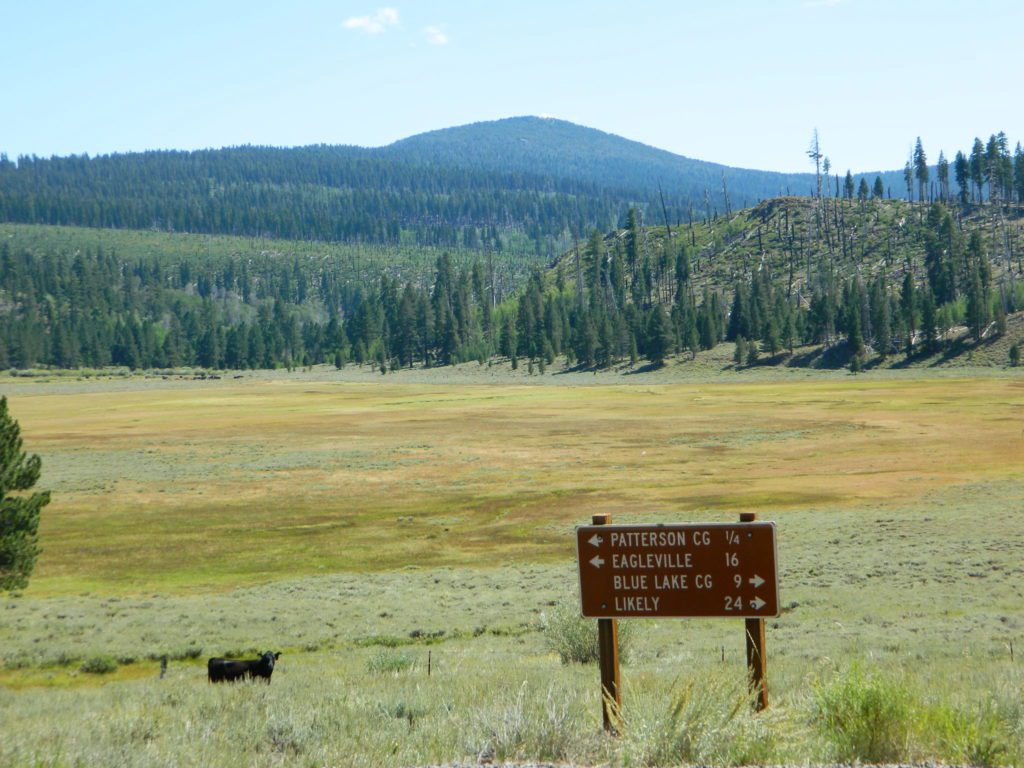
Several miles away from Blue Lake, 2 rustic trailhead campgrounds are located back this way – East Creek Campground & Patterson Campground. Less than 10 camp sites each, equipped  w/ horse stalls, vault toilets and maybe piped water. Trailhead parking for backpackers. No RVs!

Autumn colors w/ aspen groves. Open, large meadows and mature forests w/ wildfire scars. Cattle can be found grazing all around, many cattle crossing.

Minimal primitive camping options, along road sides. Campfire permits required. No camping within one mile of a developed campground.

Cow Country
Modoc is Cow Country
Road64
Day Trippin – Out exploring Modoc Road 64 (and cutting firewood)

nearby towns –

see also –
Mill Creek Falls Campground

Sierra Buttes California

sierra buttes

The Sierra Buttes

elevation: 8591′

Northern Gold Country California at the headwaters to the Yuba River

Lakes Basin Recreation Area
Tahoe National Forest
near Plumas Eureka State Park

Gold Lake, Sardine Lake, Upper Sardine, Smith Lake, Packer Lake, Grass Lake, Sand Pond, Goose Lake, Snag Lake, Long Lake, Jamison Lake, Round Lake, Deer Lake, Tamarack Lakes, Young America Lake, Frazier Falls

Sierra Buttes

California is the land of granite peaks. Rocky, exposed mountains that stick up out of the landscape for all to see. Southern Cal has a few of them, but most granite peaks in California are found in the Sierra Nevada.

US 395 Eastern Sierra impressive ridge lines are the highest and most photographed and Lake Tahoe has plenty of big granite surrounding it. The farther you go north, the less granite you will see – not because it isn’t there, mostly cuz it is just buried with tall dense forests.

lakesbasinhikers
lakes basin day hikers

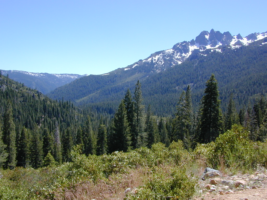
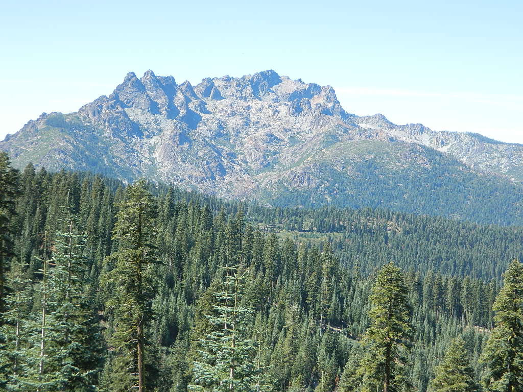
NORTH SIERRA – The Sierra Buttes are the impressive granite peaks located in between the North fork of Yuba River and Sardine Lake.

SE of Mount Lassen and NW of Lake Tahoe, at the tippy top of the historic gold country. Gold Lake Road #24 connects Gold Country Highway 49 to North of Tahoe Highway 89. Road #24 is often closed for winter snow, so most visitors enjoy this region in the summer months.hiker

Sierra Buttes Fire Lookout Hike

The infamous PCT (aka. Pacific Crest Trail) passes the peak and goes north through this basin of alpine lakes, so backpackers are often seen. Tent camping is very popular, as well as RV camping w/ numerous developed campgrounds and open camping as well.  Some of the hard to reach primitive camp sites (next to lakes) can be accessed via 4×4 vehicle. Gotta have a good topo map.

Downieville is well known for the mountain biking trails, so this whole region is covered with amazing trails. Snowmobilers and cross country skiers love the area during a good winter snow and they can access this area from the north off Hwy 89.


View Larger Map

Sardine Lake

hiking, biking, backpacking, camping, fishing, kayaking, cross country, & snowmobiling

campsite snag lake
Snag Lake (free) Camping on Gold Lake Highway

lakes basin views

Sierra Buttes Map Tahoe National Forest

Big Meadow Sequoia

Big Meadow Kern

Big Meadow – Kern Plateau

Sherman’s Pass, Sequoia National Forest
Big Meadow borders Dome Land Wilderness
in the Southern Sierra Nevada mountains

horse camping National Forest Camps Mountain Biking Kern Hikes Trailer access camping

There are many large and gorgeous meadows inside Sequoia National Forest, but none compare in ‘grandeur’ to this southern Sierra public pasture. BIG MEADOW KERN

Find your way north of Kernville and the river really comes into view. Up close, right there! Stop, get out of the vehicle for a stretch break and breathe; take it all in. This is only the start of the adventure. Gorgeous Big Meadow is located up on the Kern Plateau, 3000′ above the river on the eastern ridges. Only accessible half the year due to snow, this meadow is a must see for those exploring the eastern side of the Kern River.

22s05 sherman pass

Sherman’s Pass Road #22S05 is a hard right turn after the Johnsondale Bridge. It is well signed and still easy to miss. Climb out of the dryness and into the dense forests and meadows of higher altitudes. Driving this southern Sierra-crossing route, Sherman’s Pass Rd. will require all of your concentration. Steep, curvy road without guard rails. Plus epic, scenic views (NOT to die for).

At this point – Rock slides, snow gates and road closure are typical in winter months. Check w/ rangers in Kernville about road conditions (before you head up this way).

Sequoia National Forest National Forest Camps
Kernville Ranger Station
105 Whitnet Rd
Kernville CA
760-376-3781

While traveling eastbound on Sherman’s Pass Road, the intersection to look for is

Big Meadow Road #22S12


The partially paved road will lead south a few miles, then becomes GRADED DIRT and ventures another 15+ miles – way, way out into dead-end territories. Not one road connects down to Lake Isabella!

Spur roads (all one lane, dirt roads) lead out to various places like – Cherry Hill, Big Meadow, Horse Meadow Campground, Dome Land Wilderness Trailheads, Manter Meadow, Salmon Creek Falls, Cannel Meadows, dozens of trails and spurs. Plenty of primitive camping back in these forest areas. A high clearance rig may be required the further back you go. Mud and snow are quite common in spring and fall.

Camping California Back Roads
Extra Large Camp Sites

BIG MEADOW is a favorite camp area among –
backpackers (trailheads)
equestrian (horse campers)
hunters
mountain bikers
off-road campers

westsidedrive
westside drive: ample parking and camping for horse trailers

cattlecowsbeefy

no 'froading on meadows
no ‘froading on meadows

publicpasture

Big Meadow Rules

Back Loop Road
Back Loop Road, around the Big Meadow. Narrow & muddy

fencedmeadow

Or perhaps this is not the Big Meadow near Sequoia that you are seeking. National Parks The scenic, giant, public horse pasture listed above is not to be confused with #14S11 Big Meadows Road, also in National Forest land, located in between popular Sequoia National Park and Kings Canyon. (100 miles north of here)
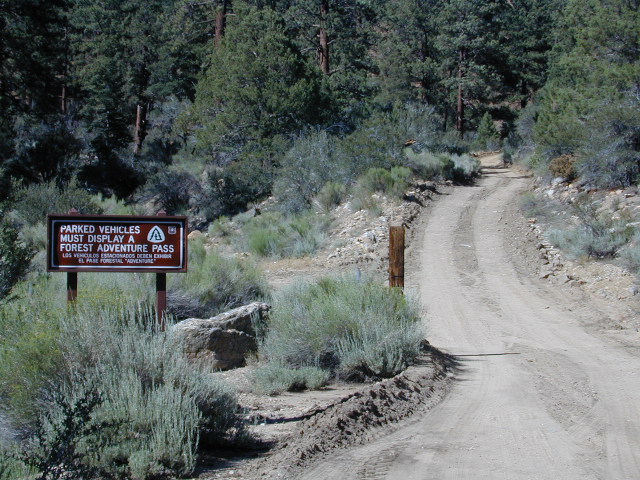
2N93 – San Berdu NF

Big Bear Dirt Roads

2N93 – Wildhorse Meadows

Heart Bar to Big Bear Lake, via the dirt road
San Bernardino National Forest

Big Bear Back Roads
Highway 38, East of Heart Bar @ Road #1N02
Southern California

alt big bear

This 8 mile long forested, dirt road begins right off Hwy 38, just east of Heart Bar Campground and is an easy turn to miss. One tiny, brown sign is all that is found (on the guard rail). Driving too fast, you are bound to miss it.

The unimproved route heads north through the National Forest, up and over and around SugarLoaf Mountain (elev 9952′), then down to the Big Bear Lake region.

Several primitive sites – yellow post camp sites – can be found way back in here, but you might NOT be able to have a campfire (depending on fire restrictions). Check w/ local rangers before you head out.

snow Forest roads are often closed (gated) during the winter, when snow and rain make a muddy mess of the terrain. Rock slides are also common in wetter months. Call the local rangers to inquire on road conditions or if this route is open.

Road 2N93

The whole Big Bear Mountain area is a SoCal favorite forest destination, for weekenders and travelers alike. Mountain biking, hiking, backpacking, horseback riding, camping and 4-wheeling.

Plus the recreational lake is full of more water recreation w/ tourist shops and restaurants. Stay away from the crowds and take the back roads for adventure and recreation. Spend less money, stay outta town and camp for free.

camp

On the south side –

Big Bear Highway 38
Heart Bar Campground
Heart Bar Equestrian Camp
San Gorgonio Wilderness

On the north side –

Green Spot Equestrian Campground
Green Canyon Group Campground

SugarLoaf Mountain has a National Recreation Trail, overlooking much of the Moonridge golf & ski area.

San Bernardino National Forest

ranger

Big Bear Rangers:

San Gorgonio District
Mentone CA
909-382-2881

Barton Flats District
Barton Flats CA
909-794-4861

Big Bear Discovery Center
909-382-2790

Big Bear Maps
San Bernardino National Forest Map

nearby towns:
Angeles Oaks
Big Bear City
Big Bear Lake
Forest Falls
Mentone, CA

Big Bear OffRoad Areas

Views to Big Bear Lake

Canyon Creek Campground

Tucked way back in the granite high elevations, near Donner Pass is a wilderness water flow called Canyon Creek. Connecting small lakes and big reservoir, this creek is part of the Nevada District water supply. The Sierra Nevada region is Tahoe National Forest and the terrain is abundant rock.

Campground is perched on the edge of rock overlooking the impressive whitewater; sounds of crashing water at certain campsites is deafening. Half of the campsites are located in a forest loop and the rest are out in the open, with much granite and fewer trees, perfect for star watchers.

Canyon Creek California


creekcanyon

Lake Faucherie is a mile up the creek and Sawmill Lake is a mile down stream, so it’s a great fishing location, as well as hiking, kayaking and canoeing destination. The Pacific Crest Trail (PCT) is also routed close by. A hiking trailhead at the north end of Sawmill Lake leads to a loop hike of small lakes.

Tahoe Rd 843

roughest roads in the region


Campground loop is paved, but the 12+ mile access road is NOT.
Twenty plus miles of paved & gravel backroads in boulder-hopping bliss, leads to granite lined lakes and forested campsites. Two different driving routes into this canyon:

  • One is the longer way Road 18 – paved access off of Gold Country Highway 20, which becomes an 8 mile long, rocky, rough, one-lane road around Bowman Lake.
  • The other is slightly shorter, county road #843 that comes in the back way from Jackson Meadow Reservoir (off Hwy 89, N of Truckee).

Both of these primitive roads join at Jackson Creek Campground, a favorite among off-roaders.

Canyon Creek Campground is another few miles up Road ##843-037, a rugged canyon route towards Lake Faucherie, where the road comes to a dead end.

Don’t let the old maps fool you: these National Forest Roads are labeled as gravel roads, but boulders and rock slides are quite common. 4×4 would be nice, but high clearance is recommended.

Minimal signs designate trails, roads and lake access; What signs that do exist are old, faded and broken. No warning signage reading ‘high clearance’ or ‘4WD recommended’ – so obviously Tahoe NF won’t be installing new signs anytime soon.fish

  • backpacking

  • camping

  • canoeing

  • fishing

  • hiking

  • kayaking

  • stargazing

Grassy Picnic Faucherie Lake

Faucherie, Sawmill and Bowman Lakes are all along this waterway called Canyon Creek.

National Forest Campground
Latitude: 39.436863
Longitude: -120.579564

Canyon Creek Campground

• Elevation: 6600′
• Number of Sites: 20
• Toilet: Vault
• Vehicle Access: High Clearance Vehicle, no trailers
• Campsites Reservation: No
• Camp Fee: No
• Length of Stay: 14 Days
• Season: June – October
• Trailheads: Faucherie & Sawmill Lakes
• Managing agency: Nevada Irrigation District
530-265-5302

Small Site

Canyon Creek Campground is an excellent campground for staying away from the crowds, which seem to focus more around Bowman Lake & Jackson Meadows Reservoir.

check

All campsites at this campground have steel bear boxes – for proper food storage in black bear country.

granite camp

Prefer camping outside of developed campgrounds? then the primitive camp sites that line Canyon Creek will be a welcomed surprise. Most are clearly marked with small signs and some may require 4×4 to access. When fire restrictions are tight, campfires are only allowed in the developed campgrounds.

granite loop
Two paved loops at this small campground.

pinetree

7N01 – Stanislaus NF

Spicer Meadow Reservoir & more lakes: Paved Forest Rd #7N01

Spicer, Utica & Union Reservoirs, Central Sierra, Stanislaus National Forest

summit lake

Stanislaus National Forest
North Fork of the Stanislaus River
Highland Creek
Carson Iceberg Wilderness Area
Spicer Meadow Reservoir (6418′ elev)
Union Reservoir (6850′ elev)
Utica Reservoir

Spicer Meadow Reservoir can also be found on various publications, listed as Spicer Meadows, Spicer Mdws, Spicer Lake and Spicer Reservoir.

tent camping

Ebbett’s Pass is California State Route (SR 4) Highway 4, which cuts thru the middle of the Sierra Nevada mountains (east-west). Wilderness peaks and rivers surround this whole region. Deep snow pack is common, so much of this region is off-limits half the year (or more). Always check with local rangers by phone before venturing out, as winter conditions can keep these roads closed late into the year.

Topo Maps of this Region:

Stanislaus National Forest Map USDA
Carson Iceberg Wilderness Map USDA
Carson, Emigrant, Mokelumne Map NatGeo
Sierra Nevada Topo Map

Wilderness Maps

N of Arnold, California; Continue up SR 4. Passing Calaveras Big Trees State Park & Camp Connell; After Big Meadow Campground, take the paved right turn for Spicer Meadow; This is forest road 7N01. Meandering thru a forest and descending in elevation, road will dead end at Spicer Reservoir.

7N01, the main paved mountain road, is located on the south side of the highway. The highway turn off reads ‘Spicer Reservoir’. Suitable for travel w/ RVs and trucks with boat trailers. Quite curvy, scenic and about 7 miles long. There are developed campgrounds in the vicinity.

The dirt side roads off the pavement can be narrow, muddy, rocky and overgrown, so be cautious when exploring. Choosing a dispersed camp site should be done during daylight hours, and will require a campfire permit ahead of time. Use an existing camp site whenever possible, instead of creating new ones.

freespice

Several man-made reservoirs attract outdoor seekers, mountain bikers, campers, canoes and fishermen. Kayakers tend to love Union and Utica, but power boats and sail boats prefer Spicer Lake.

hiker

Volcanic features mix with Sierra granite in this part of the forest, and geologic formations make for interesting hikes. Mountain biking is common around these lakes, as well as day hiking and backpacking.

Spicer Lake

NFSlogo

NFS Campgrounds in the region:

  • Stanislaus River Campground
  • Spicer Campground
  • Spicer Group Camp

Campgrounds only open June-September. Some campsites at the campground are wheelchair accessible. Boat ramp located near campgrounds.

camp

outdoor recreation:
backpacking
boating
bouldering
camping
canoeing
fishing
floating
granite
hiking
kayaking
mountain biking
lakes
sailing
swimming
trails
wildflowers

wildflower

Left fork turn off, Dirt Road #7N05 leads out to Utica & Union Reservoirs. Granite rock, alpines lakes w/ forests surrounding. No motorized boats allowed on those two lakes. Very popular among the stand up paddlers (SUP), all kayaks and canoes.

canoeNo developed campgrounds back that way either. No flush toilets, nor paved roads. No flat RV spots; only primitive style camping. These 2 scenic lakes get crowded during summer weekends, so opt for a mid-week stay if possible.

Another dirt road treks steeply up the hill from Union Reservoir to Lake Alpine (at the highway). That primitive truck trail is actually a (somewhat designated, but not well-signed) 4×4 route and suitable for high clearance vehicles only.

car camping lakes

Spur Road #7N29Y is another small dirt road which leads a couple miles into the forest, over to overgrown trailheads and primitive camping options. Ideal for accessing all the lakes (on foot) from this prime location. A camp fire permit is required. No water, no bathrooms, no facilities, no garbage services.

Pack it in, pack it out.

  • Elephant Rock Lake
  • Summit Lake (7068′ elev)

elephant rock

Closest small towns are:

ARNOLD
BEAR VALLEY
LAKE ALPINE, CA

lake camps

7N01 – Los Padres NF
There is another USFS Road in California named 7N01, but that one is a 4×4 OHV access route @ Dutchman Campground, located in South Central California; the southern part of Los Padres National Forest. We have mention of it on the page for Frazier Park Camping.

4x4

Frazier Park Camping

Mount Pinos Camping & Frazier Park Campgrounds

Drum Circle Camp
Mount Pinos Fire Circle Camp Spot
camp5
Gold Hill Campground (which is now closed) – right next to Piru Creek.

camp

Frazier Park and neighboring towns, like freeway-close Lebec and Gorman, is where the Los Angeles hills meet the Kern County mountains. Mojave Desert meets to Coastal Range. EXIT I-5 @ Tejon Pass (elev 4144′)

Wildflower hills, seasonal creeks, forested peaks, high desert canyons. Bike trails, hike trails, off road routes. High elevation backpacking, hang gliding, mountain biking and camping in every direction.

MTB SOCAL
Mountain Bikers love the trails at Mount Pinos.

High desert washes, oak creeks, pinyon pine forests, mountain meadows and numerous peaks – Frazier Peak, Reyes Peak, Alamo Mountain, Mount Pinos, Mount Abel (Cerro Noroeste) and north facing San Emigdio ridge.

Mt. Pinos District:

campground elev spots veg toilet water notes
Aliso Park, Cuyama 3200′ 11 oak pit no Aliso Cyn Rd. (#10N04)
Ballinger OHV Camp 3000′ 20 pinyon vault no Rd# 9N10, Cuyama Valley
Camp-O Alto 8286′ 12 jefferey pit no ridge, Cerro Noroeste
Caballo Campground 5850′ 5 oaks pit no Rd# 9N27, Cerro Noroeste
Cherry Creek 4×4 5200′ 2 oak no spring 4WD trail, Cuddy Valley
Chuchapate Campground 6000′ 30 pines vault piped Rd# 8N04, closed winter
Chula Vista Walk-In Camp 8300′ 12 pines vault no walk-in camps & RV lot
Cottonwood Campground 4600′ 2 ctnwd no creek 4WD only trail, fish
Dome Springs Camp 4800′ 4 oak pit no Rd# 8N40, Lockwood
Dutchman Camp 6800′ 8 pines no no Rd# 7N01, 4WD trails
Half Moon Campground 4700′ 10 pines pit no Rd #7N03, May-Oct
Kings Campground 4250′ 7 pinyon vault no OHV & Piru Creek
Marian Campground 6600′ 5 pine pit no closed in winter
McGill Campground 7500′ 50+ pine vault seasonal mountain biking
Mount Pinos Campground 7800′ 19 pine vault seasonal closed winter
Nettle Springs Camp 4400′ 9 pinyon vault no Rd# 8N06, Apache Cyn
Ozena Campground 3660′ 12 cottnwd vault no Lockwood Rd
Pine Springs Camp 5800′ 12 pinyon pit no Road #7N03
Pleito Campsite 5000′ 2 mixed no no dirt rd access, dispersed
Rancho Nuevo 3550′ 2 mixed no no river crossing
Reyes Creek 4000′ 30 oaks vault yes creek camping
Reyes Peak Pine Mt 5200′ 6 pines none no ridge camping
Salt Creek 4×4 3000′ 2 mixed no no 4WD only
Sunset Campground 4300′ 2 cottonwd no no Lockwood / Piru Creek
Thorn Meadows 5000′ 5 pine pit no Rd# 7N03C, horse corral
Tinta Campground 3600′ 3 pinyon pit no river crossing
Toad Springs Camp 5700′ 5 pinyon pit no Rd# 9N09, Quatal Cyn
Twin Pines Camp 6600′ 5 pine vault no Dry weather only
Valle Vista Camp 4800′ 7 mixed pit no condors, new toilet

See Mount Pinos Recreation Campgrounds only

Group Camping Sites in Los Padres Forest

Hiking Pinos Signs
Mount Pinos – Peak to Peak hike.

Maps of Los Padres NF –nettle spring camp

Los Padres mountain towns –

DSCN0043

Toad Springs Campground atop Quatal Canyon. Small camps located in Los Padres NF have no fees, and often no toilets – so bring the shovel.

Many dirt roads are gated seasonally for wet weather or snow. Call rangers to find out which routes are open before you plan your weekend. Or have a plan B and C camp site ready if route is closed. Flashfloods, thunderstorms, and erosion means you may all-of-a-sudden need to use your 4WD. This is the mountains after all. UNpredictable weather is common.

frazier park camping

Primitive Camping in Quatal Wash, next to the OHV Route and the Chumash Wilderness

PeaktoPeak
Peak-to-Peak Hike: the toughest climb you’ll do, this decade.


22S05 – Sequoia NF

Sherman’s Pass Road: J41 Mojave to Kern River, Sequoia Forest Rd# 22S05

NFSlogo

Sequoia National Forest

sherman snows
Snow closes Sherman’s Pass Road annually

This paved Southern Sierra highway (aka J41, off US 395) is a paved route through the eastern portion of the Sequoia National Forest. A curvy mountain corridor which crosses over the forested plateau and also the South Fork of the Kern River. This road skirts the Domeland Wilderness & the South Sierra Wilderness. The PCT (Pacific Crest Trail runs across it as well, near Kennedy Meadows.

East side of Sequoia National Forest, the Kern Plateau meets the Mojave desert w/ BLM Camping & Inyo National Forest.

22s05 snowy
The Sherman route connects the Kern River, near Fairview to Kennedy Meadows & closes for snow in winter months. There are plenty seasonal creeks, meadows & forests in this region. Elevations range from 4000′ near the Kern River to 8000′ at Black Rock Station.

camp

BIG MEADOW
Horse Meadow Campground
Long Valley Campground
Chimney Creek Campground
Chimney Peak Backcountry Byway

Bald Mountain Fire Lookout is an excellent stop for sightseeing over Domeland Wilderness. Access it via dirt road# 22S77, access to tower is a rough and rocky, steep road which may require 4WD.

hiker

Steep Grades

ranger

USFS Ranger Stations:

  • Black Rock Station
    760-376-1666
  • Kernville Station
    760-376-3781

Snowy Springs

Campgrounds along Sherman’s Pass Road include –

  • Rincon Camp (primitive campsite) – just up from Brush Creek & Kern River; Rincon Trail #33E23 runs North/South near here.
  • Big Meadow / Horse Meadow Campground
  • Troy Meadows Campground
  • Fish Creek Campground
  • Kennedy Meadows Campground

westbound

mountains

nearby towns:

CALIFORNIA HOT SPRINGS
FAIRVIEW
KENNEDY MEADOWS
KERNVILLE
PONDEROSA
RIVERKERN

California Reference

shasta back roads

California Information Centers w/ Helpful Links, Tips, Weather & Road Advice


SIERRA HWYS / Sierra Passes:
Annual Highway Closures in the snowy Sierra Nevada Mountains

snow

California Road Conditions

 caltrans
Cal-Trans Road Conditions
800-427-7623
All CHP Offices
Web cams on California freeways

Nevada Road Conditions
702-793-1313

Oregon Road Conditions
503-588-2941

California Travel Timelines

California Back Roads Info

L.A. Road Closures
Department of Public Works Los Angeles

North State Road Conditions & Web Cams
Siskiyou County California

Weather Bureau
530-221-5613

California Mountain Roads –
Snow Chain Requirements

R1 – Chains are required on all vehicles except passenger vehicles and light-duty trucks under 6,000 pounds gross weight and equipped with snow tires on at least two drive wheels. Chains must be carried by vehicles using snow tires. All vehicles towing trailers must have chains on one drive axle. Trailers with brakes must have chains on at least one axle.

R2 – Chains or traction devices are required on all vehicles except four-wheel/all-wheel drive vehicles with snow-tread tires on all four wheels. NOTE: four-wheel/all-wheel drive vehicles must carry traction devices in chain control areas.

R3 – Chains required. Chains or traction devices are required on all vehicles, no exceptions.

The most common chain controls are R-1 and R-2. Highways will often be closed before an R-3 control is imposed, but winter weather conditions can change any road condition, hour by hour.

California Information Centers

check

California Office Of Tourism
1121 L St., Suite 103, Sacramento, CA 95814

California Welcome Centers
various locations, usually near freeway & factory outlet malls

California Bureau of Land Management
BLM

California Department of Fish and Game
916-445-0411

California National Forests NFS
USFS

CaliforniaNational Parks NPS
NPS

California State Parks calsp
SP, SHP, SRA

Eastern Sierra Interagency Center 
US Highway 395 @ Death Valley turn off
760-876-6200
2 miles south of Lone Pine CA
@ junction of Hwy 395 & SR 136

Kelso Depot Visitors Center
Mojave National Preserve
760 252-6108
Kelbaker Road, Kelso, CA

Old Station Visitor Information Center
13435 Brian’s Way
Highway 44/89, Old Station, CA 96071
530-335-7517
Hat Creek, East Lassen NF

California State Transportation

CA Trains – Amtrak, MetroLink, Coaster, BART, Skunk

California Statewide Bus Lines – Amtrak bus, Greyhound & FlixBus

train

California off road links

California 4×4 Groups
Cal 4-Wheel

Total Escape Back Roads

dirtbikes

California Travel Tours

California by Bicycle
California 4×4 Tours
California by Helicopter
California by Horseback
California by Llama
Lake Tahoe Tours
Palm Springs Tram
Vegas Outdoor Tours

hiker

California Maps: Parks, Wilderness, OHV trails

longwayup
Breckenridge Mountain, eastern, paved access from Breckenridge Road #28S06, Sequoia National Forest, Kern County California
gorgeview
Sierra National Forest Road #11S12 – Big Creek, granite gorge view. Dirt road connecting Wishon Reservoir to the Kings River, on the Western side of the Sierra Nevada
Road 64 South Warner
Exploring Modoc Road 64 (aka South Warner Rd) located back behind Blue Lake Campground. Excellent horse camping opportunities next to South Warner Wilderness.

California Roads

observatorio
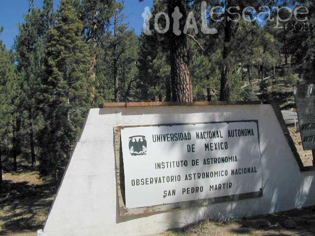
Observatory @ San Pedro Martir, Baja California Norte – Pine Forest Camping Laguna Hanson, Parque Nacional Constitution de 1857; located off Hwy 3 east of Ensenada
signage
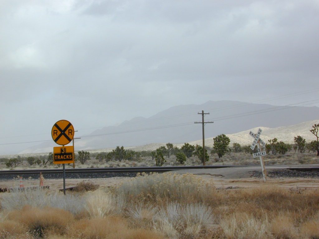
Kelbaker Road, Mojave Desert – paved connector and main route between Interstate 15 and Interstate 40. Mojave Desert National Preserve
newarmypass
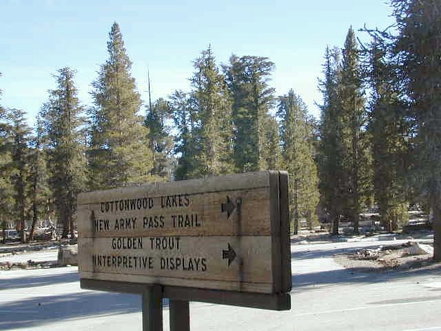
Backpacking, Equestrian and Hiking Trailheads to the High Country Eastern Sierra. Cottonwood Lakes, Inyo National Forest @ US Highway 395

Snag Lake California

Snag Lake California


Lakes Basin Recreation Area
Snag Lake

A free lake camp in between Truckee & Quincy, CA

This is one of many small lakes situated within the Lakes Basin Recreation Area , in the Northern Sierra Nevada mountains. Just north of Downieville & Historic Gold Country. Snag Lake is nothing special compared to the rest of the scenic lakes close by, but it is worth a mention due to a few fun facts.

Sierra Nevada Lake

One thing this small lake campground does have is convenience, located right on the Gold Lake Highway – next to Goose Lake, plus hiking distance to the largest of the lakes, Gold Lake. The second feature is the campground is small, 16 primitive sites, picnic tables & one vault toilet. The third thing is that this is a FREE campground; no charge.

campsite snag lake

Snag Lake Campground

• Elevation: 6600′
• Number of Sites: 16
• Vehicle Accessibility: Small RVs
• Campsites Reservation: No
• Camp Fee: No
• Length of Stay: 14 Days
• Season: June – October
• Trailheads: Gold Lake

Boulder Hopping

dirt drive (no pavement)

No motorized boats allowed. No paved boat ramps. Kayaks & canoes can hand launch from several spots. The dirt driveway is easily missed, especially at night. The old wooden, forest service sign is not reflective. The vault toilet is close to the highway and the camp sites are along the lake edge. No pavement anywhere!

Upon arrival, camper trailers will want to get out and select the best route to a camp site. The small boulders, dead trees, root and rock obstacles are abundant on the dirt road entry, all around the campground, and at each camp site. High clearance vehicles would fair best at this camp, but some passenger cars may be able to manage the rocky entrance. Get out and look at the road, before scraping across the biggest rock. Slowly, carefully, maybe… and preferably an arrival before dark.

LOCALS TIP: The wind tends to pick up at night around these lakes, so brace your tent well and position your vehicle appropriately.

NFS lake camping lake fishin hiking lakes lakes

fishing lake?

rainbow trout

Obviously with a name like SNAG, you can imagine that the fishing here is not the best, since roots and old tree stumps make up a good portion of the shoreline. Luckily there are a dozen alpine lakes within a 20 mile radius to choose from for another fishing spot. Some lakes are hike-in only, some require 4×4 to reach and others have cabin resorts.

towns nearby –

sierra snow

SEASONAL SNOW CLOSURES

snowmobile
Gold Lake Hwy (or Gold Lake Road) closes in the winter months (NOV-APRIL) due to snow and the region is used as a winter recreation area. Cross-country skiing and snow-mobiling are both popular activities.

driftwood

Lassen – Snag Lake

ANOTHER SNAG LAKE in NorCal, can be found by foot, hiking into the Lassen Volcanic Wilderness. Backpacking the lake loop is approx 17 miles RT and includes 3 lakes – Snag Lake, Widow Lake, and Jakey Lake. Trailhead is located at Juniper Lake, at the north shore.

read more about this hike

hiker

SIERRA LAKES

4×4 lakes
backpacking lake
camping lakes
canoeing lake
fishing lakes
hiking lake
kayaking lakes
waterfalls

South Warner Wilderness

Warner Mountains
Modoc Country
Northeast California

Road 64

Wide open spaces, mountains, rivers and ranch lands. The very last of the unexplored high country of California. Rural and rustic regions are full of forested mountain ranges with sage brush meadows lying below. Valleys are high elevation deserts with a base terrain sitting above 4000′; Peaks @ 8000′ above sea level.

South Warner Wilderness

70,000 acres
80 miles N of Susanville, CA
Modoc National Forest
NFS

South Warner Wilderness is in the southern portion of the Warner Mountains, a north south positioned range, located in the top corner of the golden state. Surprise Valley lies to the east, bordering the Nevada state line and Alturas w/ US Hwy 395 on the west side.

California SR 299
Hwy 299, the only paved thoroughfare cuts right through the middle of the Warner Mountains. Paved Parker Creek Road #56 climbs up Parker Creek from Alturas, accessing camping, hiking, dirt back roads and wilderness trailheads. Warner Mountains State Game Refuge is north of the wilderness area.

One dirt route skirts the wilderness boundary – West Warner Road #5, which leads from Parker Creek due south to Jess Valley Rd #64. Blue Lake Road, Patterson Mill and Road #39N15 are nearest to East Creek. Winter driving tips from NFS.

butterfly

  • backpacking
  • camping
  • creeks
  • fishing
  • hiking
  • horseback riding
  • hot springs
  • lakes
  • waterfalls
  • wildflowers
  • wildlife

South Warner Lakes & Reservoirs lake

  • Clear Lake
  • Patterson Lake
  • Porter Reservoir (elev 6682′)
  • West Valley Reservoir (elev 4761′)
  • Blue Lake
  • Sworinger Reservoir (elev 5868′)

South Warner Trailheads hikes

  • Summit North Trailhead (Road #31)
  • Pine Creek Trailhead (Road #5)
  • Mill Creek Trailhead (Road #40N24)
  • Clear Lake Trailhead (Road #5)
  • Summit South Trailhead (Road #64)

mill creek falls modoc

South Warner Campgrounds camp

All these campgrounds listed can be accessed by a vehicle, most by narrow back roads (some dirt). If you prefer to drive on paved roads only, then you’ll need to choose Blue Lake or Mill Creek Falls. Deep snow closes forest roads and campgrounds are generally only open a few months per year, from May to October.

South Warner Mountain Peaks

  • Squaw Peak (elev 8646′)
  • Warren Peak (elev 9710′)
  • Dusenbury Peak (elev 9710′)
  • Eagle Peak (elev 9892′)
  • Cole Peak (elev 8970′)
  • Emerson Peak (elev 8989′)
  • Hat Mountain (elev 8737′)
  • Red Rock Mountain (elev 8518′)

south warner mountains map

Wilderness permits can be obtained at local ranger station: NFS
Modoc National Forest
225 West 8th Street
Alturas, CA 96101
530-233-5811

Blue Lake Modoc
Blue Lake Modoc

nearby towns –

Sardine Lake California

Sardine Lake California Camping

Lakes Basin California, Northern Sierra

Lakes Basin Recreation Area

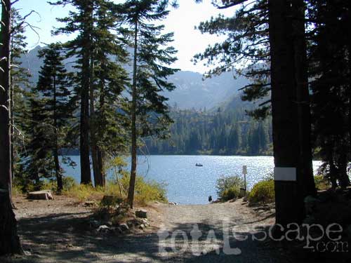
The granite spires of the Sierra Buttes (8591′) tower above both Upper & Lower Sardine, making for a glorious backdrop to these two lakes. This is a popular fishing lake with no swimming allowed. The water is so clear that at noon you can see to the bottom!fish

There are numerous, super-scenic, small lakes in this region and one trip here is not nearly enough. Total Escape rates this collection of small lakes up there w/ the ‘best hiking lakes’ in California. The Pacific Crest Trail runs through this awesome lakes area, which is located north of Truckee, east of Downieville.

backpacking
boating
camping
canoeing
fine dining
fishing
hiking
granite peaks
kayaking
mountain biking
off-roading
stargazing
waterfalls
wildflowers


snowmelt lake snowmelt lake snowmelt lake
high elevation means snow

Plumas Co Road #24 is the Gold Lake Road, also referred to as the Gold Lake Highway – which skirts the lakes, the buttes and connects Historic Gold Country Hwy 49 to Graeagle Golfing @ Hwy 89. SNOW CLOSES THIS ROAD, but the area remains open for winter recreation.camp

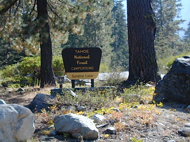
SARDINE LAKE ROAD, a paved turn off the main road. NFS Campground is located one mile from the shore at Lower Sardine. Sardine Lake Resort rents cabins and the restaurant serves dinners w/ lake view!

fishing lake Gold Country Lake hiking trailheads National Forest Service Developed Campground

Sardine Lake Campground

• Elevation: 5800′
• Number of Sites: 29
• Vehicle Accessibility: RV 22′
• Campsites Reservation: Yes
• Camp Fee: Yes
• Facilities: piped water, vault toilet
• Length of Stay: 14 Days
• Season: June – October
• Trailheads: Sierra Buttes & PCT

sardine campground sign

National Forest Service Rangers Quarters

Sardine Peak Lookout
SARDINE PEAK FIRE TOWER LOOKOUT (NFS)
Built in 1935, a three story enclosed tower with external stairs. 2019 – No longer available as an overnight rental. (elevation 8138′)

panoramic

Upper Sardine Lake California

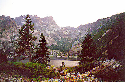
Upper Sardine Lake: Takes only a short hike to get to. This is a pure glacial bowl; the rock plunges straight into the water, no beach at all. Great fishing; ice-cold swimming.

local contacts for this lake:

Sardine Lake Resort
530-862-1196

Row boat rentals on Sardine Lakecanoe
530-862-1196

Canoes rentals on nearby Packer Lake
530-862-1221

Plumas County Visitors Bureau:
800-326-2247

Plumas National Forest Rangers:
530-862-1368

Sierra County Visitors Bureau:
800-200-4949ranger

nearby towns:
Downieville, CA
Graeagle, CA
Sierra City, CA

nearby lakes:
Gold Lake
Sand Pond
Packer Lake

maps of the region:
Lakes Basin Map USDA
NatGeo Sierra Buttes Map
Plumas National Forest Map
Tahoe National Forest Map

Mono Hot Springs

High Sierra Nevada
Mono Hot Springs

Sierra Snowmobile Destination

Mono Hot Pools @ San Joaquin River
Sierra National Forest

Best of both worlds, way back in the boonies – two primitive tubs soaking perched on a soggy hill next to a big river, developed campground below, and a small resort w/ cabins, camping, restaurant and private soaking areas on the other side of the river.

Sierra hot springs15 mi. NE of Huntington Lake off Kaiser Pass Rd. Huntington Lake & Hwy. 168

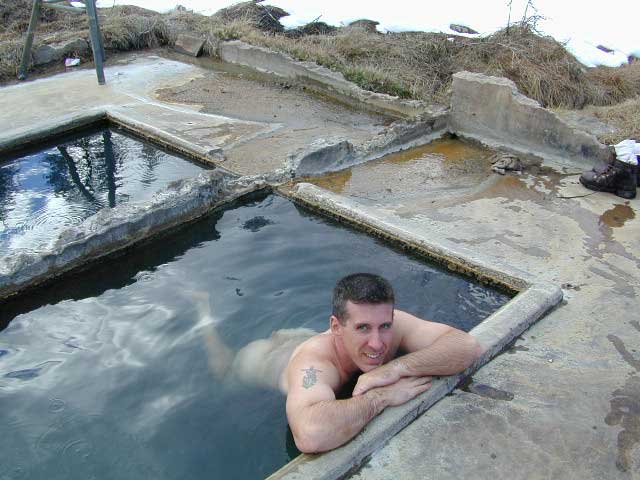
Two squared cement tubs overlooking the San Joaquin River, deep in the Sierra Nevada Mountains.

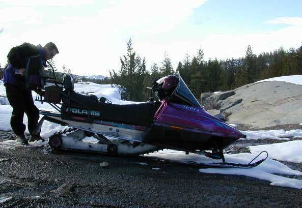
The coolest thing about this primitive hot springs is that it is a great destination for a one day snowmobile adventure. Rentals are in the nearby community of Lakeshore & the plowed paths are fairly easy to follow. If you plan on visiting the springs, you must not play around in the meadow much, there is plenty great Sierra scenery to be had. The snomo trip is a good 5 hours round trip with a lunch break & dip at mineral spring tubs.

  • backpacking
  • boating
  • camping
  • cross country skiing
  • fishing
  • hiking
  • horseback
  • kayaking
  • mountain biking
  • mountaineering
  • snow mobiling
  • stargazing
  • swimming
Sierra Snow-Mobiling
Sierra Snow-Mobilin’

snomo sierra hot springs

Kasier Pass WildernessWinter: road is closed half the year due to heavy snow. Summer: snow is gone and the road is open.

KAISER PASS ROAD
Large motorhomes, RVs are not allowed on this long, steep, narrow paved route.

Max vehicle length: 25 feet

Take Hwy.168, turn right on Kaiser Pass Rd, just past the big ski resort. Pass the large meadow & follow signs to Mono Springs & Lake Edison. Make sure not to miss the left turn or you may end up at Florence Lake.

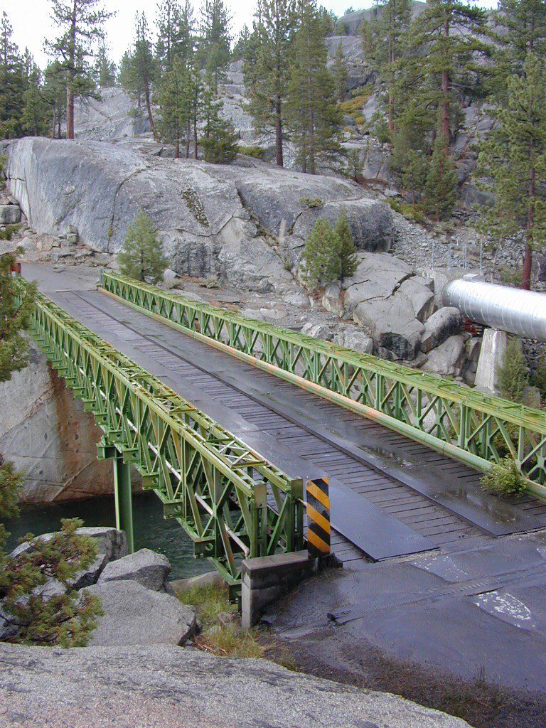
Parking near the green bridge over the San Joaquin River & hike over to the tubs on the hillsides. If there are other vehicles parked here, expect to see naked people nearby; Soaking should never be rushed. Clothing is optional – in California.

Green Bridge at San Joaquin Headwaters
camp

Mono Hot Springs Campground NFS

• Elevation: 6700′
• Number of Sites: 30
• Vehicle Accessibility: RV 25′
• Camp Fee: Yes
• Campsite Reservation: Yes
• Toilet: Vault
• Length of Stay: 14 Days
• Season: June – September
• Trailheads: Ansel Adams & John Muir Wilderness

NOTE: This USFS Campground, should not to be confused with the neighboring business, a privately run camp called –
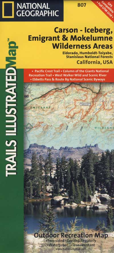
Mono Hot Springs Cafe w/ Cabin Resort

Mono Springs Sign

closest forest, lakes, & destinations:NFS

topo maps for this region:

Parking Spot

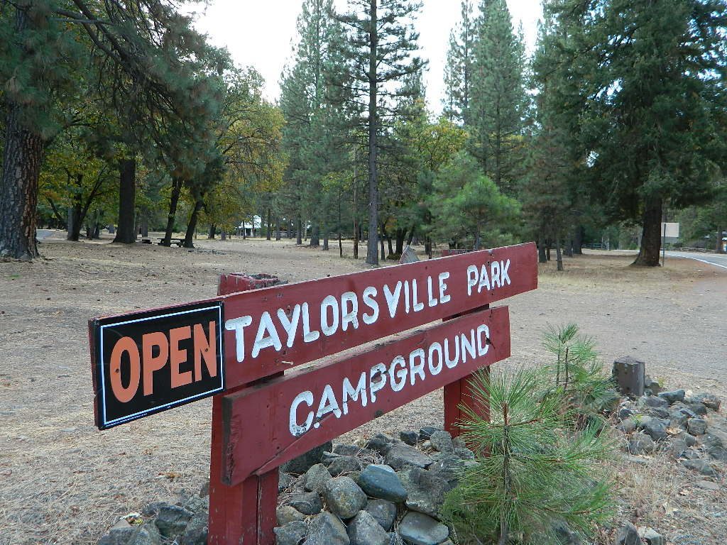
Taylorsville Campground

northvalleycurves

Taylorsville Campground

at Indian Valley, Northern Sierra Nevada mountainscampfire

also known as –
Taylorsville County Campground
Taylorsville Community Campground
Taylorsville Park Campground

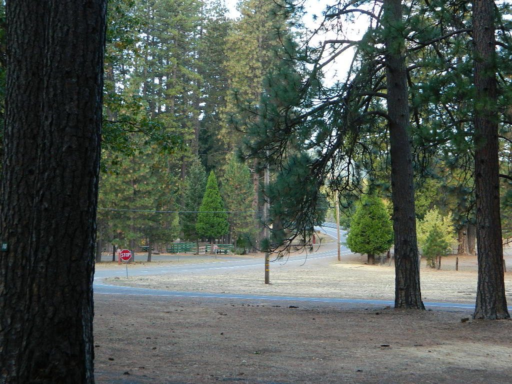
sepiacampBeautiful North Sierra Nevada. The rural country life is out here… in the mountains of NorthernCal. Cattle ranches, a few sheep, grazing deer, big old barns, bike races and much residential. Taylorsville is a very small town, on the edge of the Indian Valley. Right across the valley from Greenville and Round Valley Reservoir.

All surrounded by Plumas National Forest

campTaylorsville Park Campground

elevation: 3200′
camp sites: 32
piped water near camp: yes
toilets: flush
showers: yes
fee: yes
season: May-October

walktotown
Easy Walk to Town – Taylorsville, CA

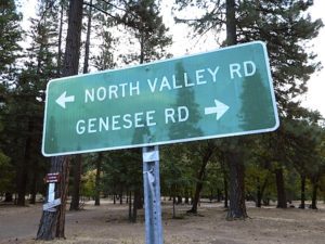
The wooded campground is located at the intersection of North Valley Road, Genesee Rd and Arlington Rd –  a few miles off the main highway 89.

Looking for a quiet place to tent camp in between Quincy & Greenville? then this is it. The best developed campground option in the whole region. Closed for winter months – cuz it does snow pretty good up here.

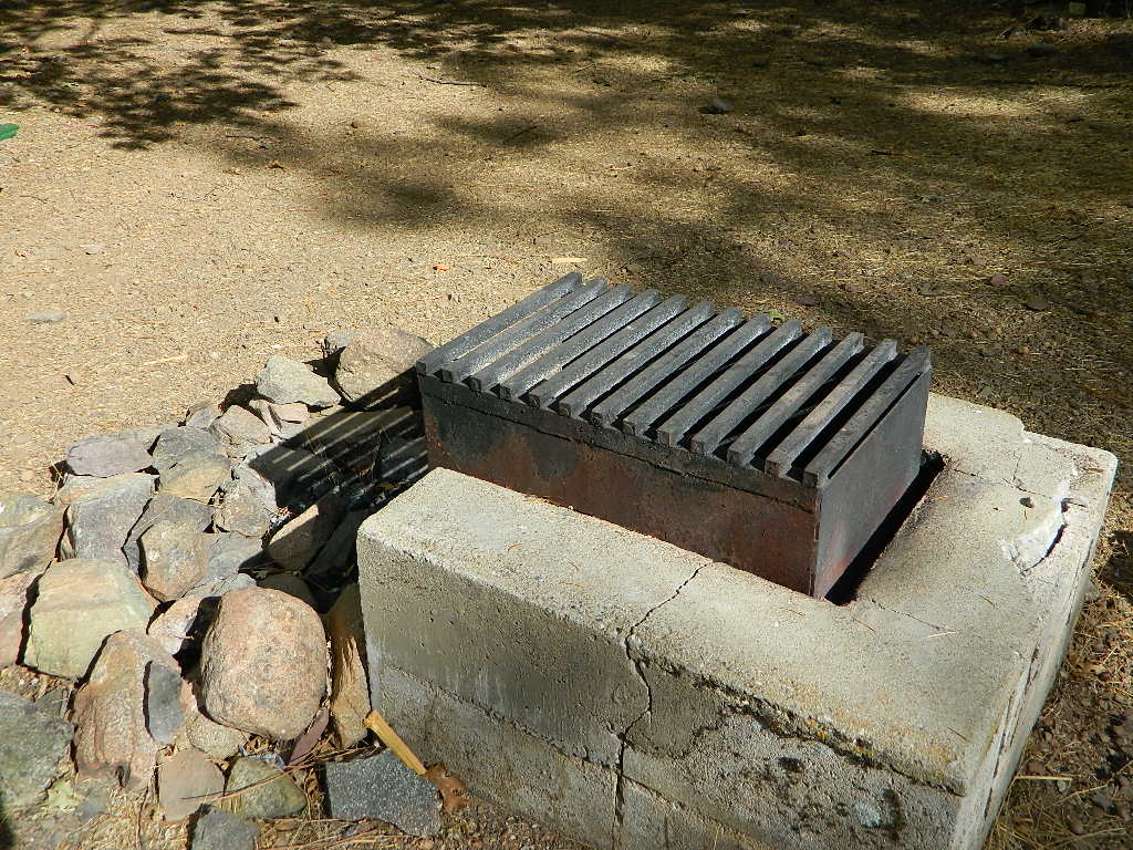
grillsurface

This shaded tent campground loop is on a hillside; across the street from the small rodeo grounds, the community park w/ picnic areas, tennis courts and a small RV park. Campground host located behind the bathrooms.

Nearest local laundromat in nearby Greenville, behind the main grocery market.

showers

bathing… would be nice

Flush toilets and showers, affordable overnight prices, plus ideal walking-hiking-biking location make this a special campground worth mentioning!

  • walk to townhiker
  • mountain biking
  • cycling
  • hiking
  • tennis

taylorsvillecamp

towns nearby:fish

maps of the region:


northvalleyrd600


Wilderness Lakes

Lake Genevieve
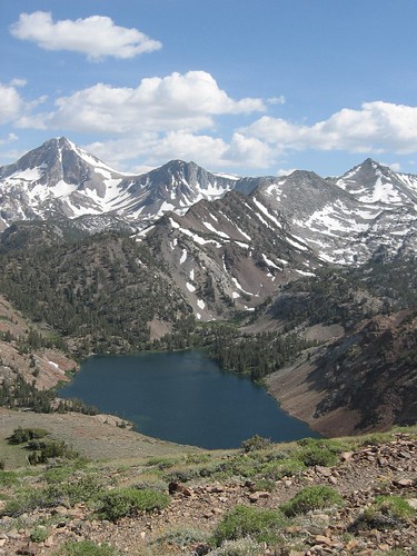
Lake Genevieve, hike-in only access. Way up behind Convict Lake @ Mammoth Lakes, CA

calif lakes / secluded lakes / loop hike around lake / best lake in california / lake elevation / geology lakes / alpine lakes

hike-in lakes

Wilderness lakes are as pure as it gets. No cattle, no roads nearby. Snow melt, cool days, good fishing, great mountain scenery, granite, fresh air & clean water. You have to really wanna reach them. You must physically WORK to get to these remote alpine wonderlands – hike, bike, or horseback.

Heart Lake
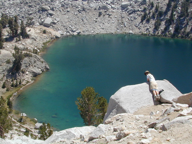
Heart Lake, near Onion Valley & Kearsarge Pass

Some lakes are accessible via a day hike, with miles of forest trails or granite switchbacks in between. Waterfalls, wildflowers and wildlife will keep you entertained, as you enjoy your trek. No rush, no pressure; Go slow and take it all in. Remember, it’s not a race!

Most people prefer to backpack in to these locations and stay a while. Why not? These puppies are ACCESSIBLE only a few months outta the whole year. May as well enjoy them while you can. The rest of the time they are frozen solid or buried with serious snow. Wilderness areas do not allow dogs nor mountain bikes on trails, so plan accordingly.
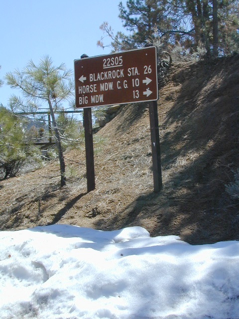
camp, fish, hike, horseback, swim

California is lucky to have hundreds of lakes within protected wilderness areas. Almost all are gorgeous and have very limited access. While we haven’t yet been able to hike every Wilderness in Cali, we will leave you with the visuals and links, plus a way to buy the specific topo maps.

California Wilderness Lakes

Ansel Adams Wilderness

Bucks Lake Wilderness

Carson Iceberg Wilderness

Desolation Wilderness

Granite Chief Wilderness

Emigrant Wilderness

Hoover Wilderness

John Muir Wilderness

Lassen National Park

Mokelumne Wilderness

Monarch Wilderness (Kings Cyn)

Jennie Lakes Wilderness

Thousand Lakes Wilderness

Trinity Alps Wilderness

Yosemite National Park

wild California


HIGH ALTITUDE LAKES:
4000′ elevation to 14,000′ elevation

snowflake

SEASONAL deep SNOW makes many of these beautiful lakes inaccessible for more than half the year. Call ahead to local rangers to make sure your desired destination is indeed open for traffic. Certain locations may require snow shoes, snowmobile or a 4WD to access.

Forget the hike!

If you are seeking a remote mountain lake that you can drive to, you will need to search for one that has the fewest people. A high clearance vehicle will help you exit the tourist traps, via plenty of the back roads. Some dirt roads are acessible with just a passenger car or AWD wagon. Talk to the ‘field ranger’ for up-todate road conditions and closures.campfires Make sure to get a campfire permit, before you camp outside of developed campgrounds. Always steer clear of crowded, holiday weekends.

Juniper Lake Table
Juniper Lake – Lassen NPS

California LAKE LIST

The lake list above samples most of the lakes in California. For secluded locations and rare finds (accessible by vehicle), see the list below and follow links for more info.

fernlake
Fern Lake – hike in access, June Lake Loop Hwy 158

More California regions with pristine lakes, but not dubbed Wilderness:

turtleandfriend
Turtle and Friend, Junction City, CA
Sunrise Lakes
Sunrise Lakes, Yosemite Loop Hike


California Elevations

conradkid
High Sierra hiking @ 12,000 feet above sea level

elevation

high altitude towns  •  well above sea level

The majority of California cities are located near sea level, with low lying farmlands and populated coastlines common throughout world geography. California has super diversity w/ the population, as well as the elevation and the terrain. Vast rugged deserts bordering Nevada, from high deserts (8000′ @ Bodie ghost town) to low deserts (below sea level for Mecca) near the Salton Sea. Towering granite peaks with minimal vegetation, to fern canyons and redwood groves at the coast, California has quite the unique landscape.

The beautiful golden state is also home to the highest and lowest point within the lower 48 states; and those points are only about 100 miles apart – Death Valley  (-282′ elev) and  Mount Whitney  (14,494′ elev).

I-80 Donner PassMTN TOWN: upper elevation mountain towns w/ forests and flowing water, are primarily located in the Sierra Nevada range which runs the backbone of California in a north-south direction,  separating the Pacific Ocean from the Great Basin. High altitudes are abundant in California, especially in the Eastern Sierra – but most are only accessible by foot.

Mountain communities in Southern California includes places like Mount Laguna, Palomar, Big Bear, Arrowhead, Idyllwild and Mount Pinos.

The coastal mountain range and the Sierra Nevada  encompasses most of Central California. The rest of the space is dedicated to large cities, farmlands and farming towns – which are most lower elevation. Orchards and vineyards can be found in the foothills (200′-2000′ elevation)

Northern California has more mountains and rivers, generally higher elevations and plenty more space to explore. Secluded forests, rivers, creeks, lakes, and reservoirs can be found above 2000′ elevation, north of Sacramento. The bigger mountains in the far north part of the state are part of the Cacade Range, which is volcanic in nature. (Mt. Lassen & Mt. Shasta). More water, more trees and more land – NorCal is very different than the lower half of the golden state.

hwy33overlook
North of Ojai, CA – Highway 33 winds up to Los Padres NF

California Elevation Breakdown

  • Alpine lakes, streams, forests, mountain peaks, granite scenery is abundant above 6000′ elev.
  • Pine forests, junipers, sage chaparral, manzanita, joshua trees can be found between 3000-6000′
  • Hot Springs, creek canyons and cottonwoods are usually discovered above 2000′ elev.
  • Oak hills, ghost pines, creek beds, river canyons  and most agriculture range from 1000-3000′
  • Under 1000′ elevation is the majority of the populated cities and towns within California; coastline, urban areas, foothills, farmland and a few reservoirs
Mecca Hills
Mecca Hills, below sea level

GoogleMaps – groundbreaking tool for trip planning and checking out trailheads, camps and dirt roads from overhead

USGS Viewer – topographic overlays for altitude estimates, and various imagery

California Elevations Map

shaverMS

snowflakeSnow is always a factor in mid to high altitude towns with road conditions being unpredictable with each mountain range and each micro-climate. Winter months range from late October to May, so be warned. Above 3000′ elevation usually gets some snow. Serious snow above 5000′. Some High Sierra Passesdon’t open until JULY (Yosemite Hwy 120 & Sonora Hwy 108). Carry tire chains or have 4×4 to travel safely on snowy roads. Guard rails are seldom around every curve.

list of California towns
by elevation


Rainbow Lodge California

bishopbelow
Above Owens Valley (US 395) at sunset, as seen from the Sierra side (8000′ elev)

28E201 – Inyo NF

trailsdown

Road #28E201 – Inyo National Forest
also known as Inyo Road #4S86

Laurel Lakes Road
Inyo National Forest
Eastern Sierra, California

Southeast of Mammoth Lakes, CA
West of Crowley Lake, CA

Steep, rocky, gravel road, way up above (and behind) Convict Lake. 4WD may be needed during wet or snowy weather. High clearance is always advised. Locked GATE at the bottom means the NFS rangers have closed the route (seasonally) for deep snow, rock slides, avalanches, or other erosion hazards.

Laurel Canyon, US Hwy 395
Laurel Creek
Laurel Lakes

amigoaspens
Laurel Lake Road, Eastern Sierra

Find more INYO BACK ROADS

  • backpacking
  • camping
  • fishing
  • hiking
  • horseback
  • lakes
  • mountaineering

GenevieveLake

Trailhead to Lake Genevieve (pictured above), hike lake loop, snowy peaks.
NOTE: No easy access to the PCT (Pacific Crest Trail)

Laurel Mountain (elev 11,818′)
Bloody Mtn. (12,544′)

oldestrocks

gnarlyrocks
CLICK TO ENLARGE

Geologic:

Oldest, exposed rock in the Sierra Nevada mountains range. Buckling granite w/ volcanic rocks. Evidence of glacial activity including, terminal, lateral, and recessional moraines, glacial striations and polish, erratic boulders, and of course the numerous lakes. see more

Volcanic Eastern Sierra
Volcanic hikes in the Eastern Sierra

6S05 – Inyo NF

6S05bridge

Paved, one-lane extension of #4S12, Rock Creek Road.
Up above Rock Creek Lake, East Sierra Nevada, California

High elevation 10,272′ at roads end and parking lot

Little Lakes Valley Trailhead
Mono Pass
Morgan Pass
John Muir Trail (JMT)
Pacific Crest Trail (PCT)

Mosquito Flat Picnic Area

Restrooms, paved parking lot, nature trails, fishing creeks, horseback, wilderness trails.

hikes NFS camp horse camp

Mosquito Flat Walk-In Campground is intended for backpackers departing overnight into the backcountry the following day. Single night stay ONLY. Please camp down canyon if you plan to stay for more than one night. Bear lockers are provided at campgrounds for proper storage of food items, so use them!

No campfires are allowed outside of developed campgrounds. Day use does not require a permit. Wilderness permits are required for overnight trips into the John Muir Wilderness. Bear containers are required for backpackers. Permits for these trails are issued at Inyo National Forest ranger station in Mammoth, or the Eastern Sierra Visitors Center (ESIA) near Olancha.

littlelakesvalley

John Muir Wilderness (JMT) trails, Pacific Crest Trail (PCT), epic scenery, alpine lakes, high elevation. Eastern Sierra

Rock Creek NFS Hiking Trailheads (download PDF)

Rock Creek Pack Station provides wilderness pack trips on horseback, and day rides too.

Road and canyon is CLOSED for winter snow approx. NOV-MAY

snowlane

Peaks and passes surrounding Rock Creek Canyon, in the Eastern Sierra Nevada Mountains –

Red Mountain 11,472′ (elevation)
Mount Morgan 13,748′
Morgan Pass
Mt Huntington 12,405′
Mono Rock 11,554′
Mono Pass
Mt Starr 12,835′
Mt Mills 13,451′
Mt Abbott 13,704′
Round Valley Peak 11,943′

Hike or horseback ride to these alpine lakes from Rock Creek Rd trailheads –

Davis Lake
Hilton Creek Lakes
Patricia Lake
Golden Lake
Pioneer Basin Lakes
Trail Lakes
Summit Lake
Ruby Lake
Mills Lake
Gem Lakes
Treasure Lakes
Dade Lake
Upper Morgan Lake
Lower Morgan Lake
Chickenfoot Lake
Little Lakes
Box Lake
Heart Lake
Marsh Lake
Serene Lake
Eastern Brook Lakes
Tamarack Lake
Buck Lake
Francis Lake
Dorothy Lake
Kenneth Lake

1S63 – Inyo NF

junelakeloop

June Lake Loop – Hwy 158

also known as Road #1S63 – Inyo NF
and as California State Route 158
CA SR 158, or just Highway 158

Eastern Sierra Nevada

The quieter side of outdoor life can be found around June Lake. Fishing, camping, cabins, lodging, several lakes and one ski resort. When the busy-ness and crowds of Mammoth Mountain annoy, it is time to look elsewhere for your Eastern Sierra vacation.

June Lake is the neighboring community to the north, just a few miles from Mammoth, off US 395. The paved loop highway (158) is a wondrous scenic drive and awesome for outdoor recreation; but is subject to winter closures during NOV-MAY.

backpacking
boating
camping
fishing
hiking
horseback
snow ski

Autumn colors on this highway attract a fair amount of annual visitors. Book campgrounds or lodging (in summertime) for late September to early October for the best timing on fall foliage. First snow of the season usually arrives sometime in October.

grantcontrast
lake and creeks near the loop –

June Lake
Gull Lake
Silver Lake
Grant Lake

Rush Creek
Reverse Creek
Walker Creek

fernlake

Fern Lake – hike-in

walkerlake

Walker Lake – hike-in

Inyo Forest Road #1N17 is a dirt road, off the main highway. Route leads north from Grant Lake over to Lee Vining junction @ CA 120. Numerous side routes up into scenic canyons, most of which are well signed. Perfect exploring for day hikers, creek fishing, small lakes and primitive camping spots.

Parker Lakes
Walker Lake

Inyo National Forest
Ansel Adams Wilderness

June Lake, CA

nearby towns:
Lee Vining, CA
Mammoth Lakes, CA

area maps:
Inyo National Forest USDA
Ansel Adams Wilderness Maps
Mammoth Lakes Map by NatGeo

Secluded Lake

Sierra Nevada lakes

Often called fly fishing lakes, or backpacking lakes, these are usually located in the mountainous parts of California. Remote lakes that are ‘hard to reach’ come in 2 varieties:

hike-in lakes

Backpacking Lakes, found in the Sierra Nevada Wilderness or Northern California Wilderness Areas.

Some of our absolute favorites include:

drive to lakes

These are often many miles down a dirt road or narrow paved route (neither which is recommended with a big trailer or large motorhome). Matter of fact, some of these lake destinations require 4 wheel drive to access them. You will need a good vehicle, maps, possibly more than one. You will need time to enjoy these. They require a fair amount of work to get to, but the rewards are immense.
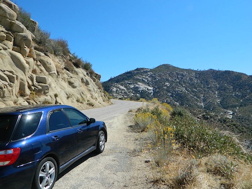
Angeles Crest Hiking

Hiking Trails Los Angeles

another two bite the dust

localhikes.com – GONE
latrails.com – GONE

Millard Falls
2 mi RT; 1200′ elevation; oaks.
Arroyo Seco District –
of Angeles National Forest
818-790-1151
Altadena CA
From Interstate 210 in San Gabriel Valley, exit Lake Ave., go N & turn left/west onto Loma Alta Dr. & to Chaney Trail & follow signed dirt road

LA waterfalls

Sturtevant Falls
5 mi RT; 4600′ elevation; oaks, creek-crossings.
Santa Anita District –
of Angeles National Forest
818-899-1900
inside Big Santa Anita Canyon
From Interstate 210 in San Gabriel Valley, exit Santa Anita Ave.Go North/East, through neighborhood & up mountain to paved parking lot.

More hikes on Angeles Forest

  • Big Tujunga Wash
  • Circle X Ranch
  • Mendenhall Ridge
  • Mount Lukens
  • Newhall Pass
  • Strawberry Peak
  • Towsley Canyon
  • Verdugo Mountains

Hiking Los Angeles Area

Angeles Forest – Los Angeles California

nearby towns –

Angeles Maps – hiking, OHV & mountain biking –

Dinkey Creek

Dinkey Creek, California

dinky what?

Dinkey Creek California
Dinkey Creek really ain’t all that small is it?

Dinkey Creek elevation 5700′

Dinkey is a major feeder creek originating with high altitude lakes in the Wilderness above, flowing down to the Kings River. Dinkey Creek has a seasonal large campground and a general store that is open during the summer months. Campground Reservation are common since this is a well-known destination of the Western Sierra.
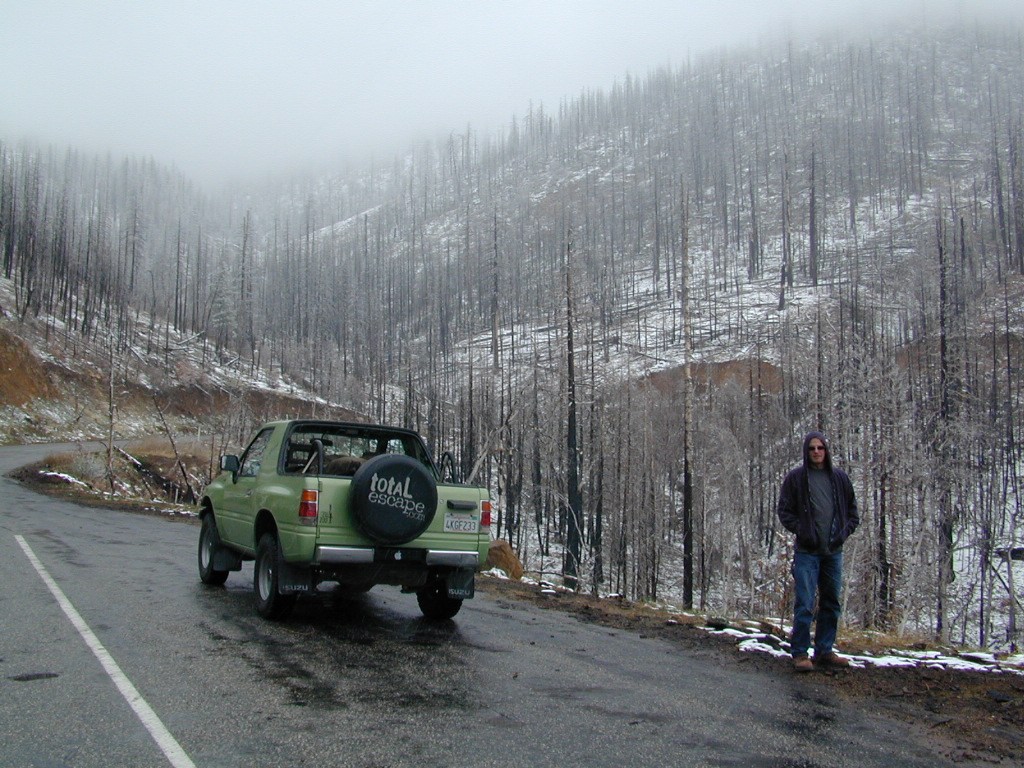
in the mountains above Fresno

Located deep in the Sierra National Forest, 15 miles south of Hwy 168 @ Shaver Lake, via a very long, winding, paved road. Not suitable for large motorhomes.

Dinkey Creek Road becomes McKinley Grove Road @ intersection of historic, wooden Dinkey Creek Bridge. McKinley Grove Rd  leads further south, past Sequoia trees, numerous other NFS campgrounds and on to the 2 big reservoir lakes (Wishon & Courtright). The Dinkey Road is usually only open during warmer months (MAY-OCT), snow & weather permitting.

Dinkey Creek Store

A very popular place for summer vacations, fishing, hiking and picnicking. The day use area near the historic wooden bridge has numerous dirt parking lots, trails, picnic tables and pit toilets. Excellent place for exploring on foot with the family, or creek fishing from the boulders.
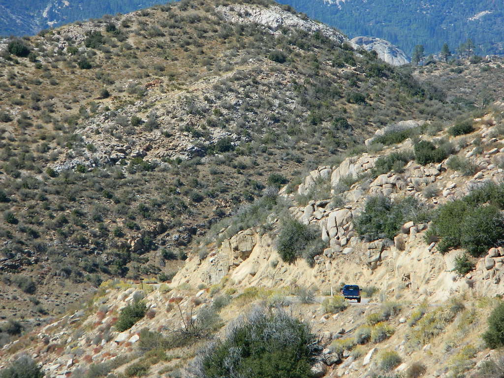
mountains backroad horseback trails picnic fishing mountain bike camps hikesnight skiesNFS

wooden bridge
Historic Dinkey Creek Bridge

Dinkey Creek Campground RV camping

  • Elevation: 5,700′
  • Number of Sites: 128
  • Water: piped
  • Toilets: flush
  • Amenities: showers, horse corrals
  • Vehicle Accessibility: 30′ max RV
  • Campsites Reservation: Yes
  • Length of Stay: 14 Days
  • Season: May – September
  • Trailheads: Dinkey Lakes Wilderness

Mckinley Grove intersection

hikesDinkey Lakes Wilderness 

Dinkey Lakes Wildernesstopo mapsDinkey Lake Trail Map


Back roads are abundant around Dinkey, leading higher up to large, granite reservoirs (with more camping options) and numerous forest dirt roads zig-zag across the mountain terrain wherever possible.
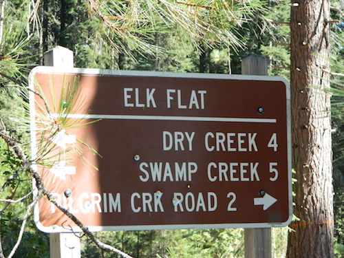
Dusy Ershim Trail is a famous Sierra 4×4 route that connects Courtright Lake to the Kaiser Pass. Granite everywhere, slow-go rock crawling, skirting in between two Wilderness Areas.

Sierra Forest Road #11S12, is a dirt road that leads downhill, past the North Fork of Kings River, from high elevations near Dinkey to the Black Rock Reservoir and meeting up with Kings River near Pine Flat. An excellent loop trip for those wanting to experience dispersed camping on the back roads, but a high-clearance vehicle is required. This road is gated and closed for winter, so call ahead to the rangers, to see if it is open before you make the journey.
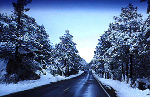

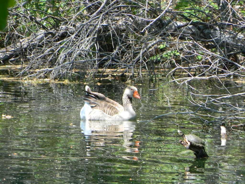
Wilderness Wishon California
Wilderness Wishon

This whole Western Sierra is home to major hydroelectric dams that create a water supply for farms and cities located in the Central Valley below.

nearby lakes –


Lake Campgrounds

Rancheria Falls
Rancheria Falls, Huntington Lake, CA

California Lake Campgrounds

Wanna Camp at the Lake?
(you’re not the only one)

lakes  fishing boating mountains backroad horseback trails picnic mountain bike camps hikesnight skies

Nothing beats fresh, cold, clean water from the California mountains, in the summertime. Find time to exit the urban rat race, soon. Escape the smoggy city life and the triple-digit heat for a road trip to the higher elevations.

View East from Davis
Crocker Mountain @ Lake Davis, California

Lake Campgrounds are abundant in California, where man-made reservoirs and recreation abound. Alpine lakes in pine forests are also numerous in the west, although only accessible for a portion of the year, they draw in the campers all summer long. A majority of the small lakes are located inside the California National Forests.
USDA / USFS / NFS

NFS State Parks

Larger reservoirs can often be managed by California State Park system. State Parks, SRA, State Recreation Area. Suburban lake locations can be local County Parks. A few locations listed could even be desert lakes.

Many ideal secluded lakes are only accessible with a 4WD vehicle, by foot or horseback. Super scenic, backcountry lakes are so far out – that a day hike is usually required.
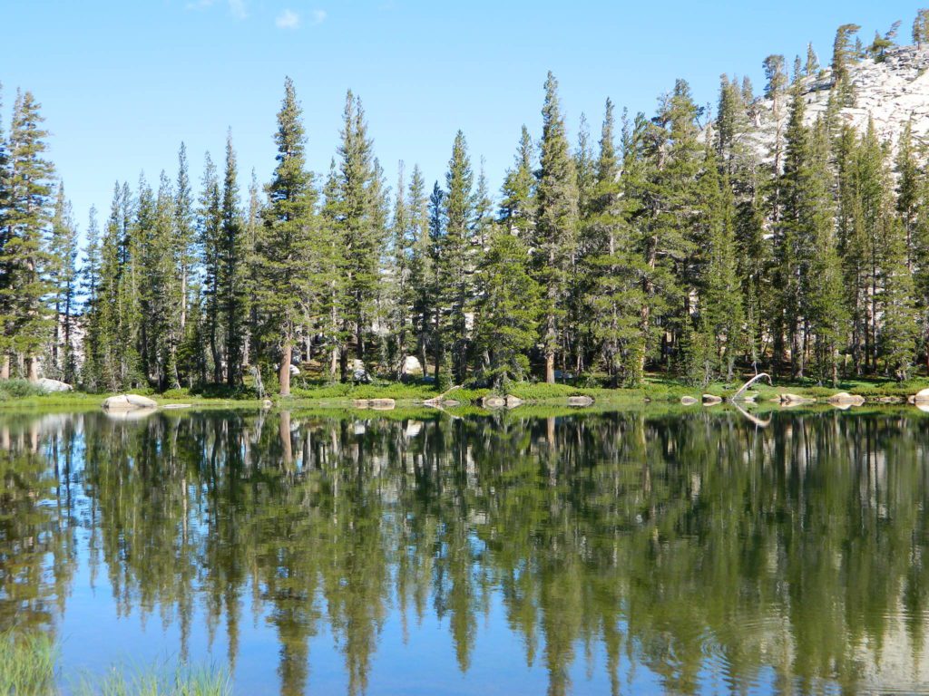
tent camp developed campground

primitive camping primitive campsites

RV camper trailers allowed RV campground

hikes wilderness access

Spicer

No motorized boats, camping on west shoreline only, no fishing from the dam, catch & release?

No access for trailers? Individual rules for each lake are different. Learn the basic before you get out there.

CAMPGROUND RESERVATIONS tent camp

Lake Campgrounds are so popular in California that many require reservations during summer. Many locations accept reservations online and we have links for those too. Other lakes are so small and remote, that only the fishermen, hikers and 4×4 gear-heads know of them.

outdoor recreation found at or near lakes

  • backpacking
  • boating
  • camping
  • canoeing
  • creeks
  • fishing
  • floating
  • four-wheelin
  • hiking
  • horseback riding
  • house boating
  • jetski
  • kayaking
  • mountain biking
  • OHV trails
  • picnicking
  • rivers
  • river rafting
  • swimming
  • water skiing
  • waterfalls

Silver Lake from Above

Lake destinations listed here have some sort of campground facilities. Some may be mini resorts with boat launch, marina or bait shop/general store. RV hook-ups, maybe. Dump station, it will cost you. Usually these bigger lakes are busy centers of tourists activity with boat rentals, RV camping and certain locales are even walking distance from ‘town’.
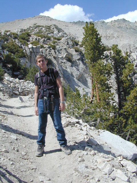
Fine dining is a rare find on the lakes, but some lake side restaurants (open seasonally & with limited hours) can be found. Most will require reservations, especially on the weekends.
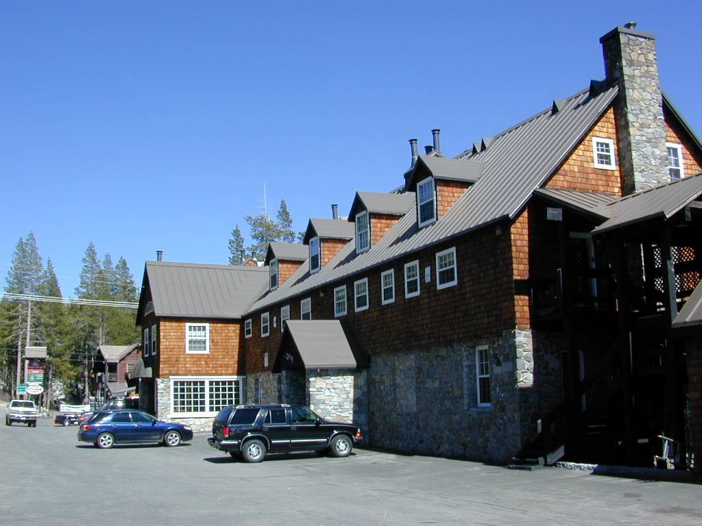
Other lake camps listed are literally on the edge of wilderness – with trails to the high country. The best little lakes will have one dirt road access. Below is a wide variety of lake destinations within California.

 gardisky_lake

Floating Flyfishing Tube
Red Lake, 4×4 access (primitive, no facilities)

and let’s not forget the ever-popular California Lake List

Grassy Picnic Faucherie Lake

Bucks Lake Wilderness

DSCN0237

Bucks Lake Wilderness Area

Bucks Lake, California
Plumas National Forest

topo mapIn the hills and canyons above Chico many wonders can be found. North Sierra Nevada mountains, medium sized recreation lake surrounded by lush forest; N of Lake Oroville and S of Lake Almanor. North Fork Feather River canyon forms the northern boundary to this designated Wilderness Area. The area is popular with backpackers and PCT hikers, as well as equestrian and the region has over a dozen campgrounds. Backcountry terrain includes an impressive 6 mile long canyon wall.

camp Bucks Lake Campgrounds

hotels Bucks Lake Lodging

The popular boating destination, Bucks Lake reservoir, is just outside the wilderness boundary, which makes for an excellent destination for day hikes. Boating, fishing, backpacking, hiking, camping, canoeing, kayaking, rock climbing, snowmobiling and mountain biking are just some of the outdoor recreation in the area. This Wilderness region features a Silver Lake and Gold Lake, as well as numerous other small, unheard-of lakes. A few can be accessed by vehicle, but more than half are hike-in only lakes.

  • backpacking
  • boating
  • cabin rentals
  • camping
  • canoeing
  • fishing
  • floating
  • hiking
  • kayaking
  • sailing
  • swimming
  • Bucks Lake Wilderness
    23,958 acres
    5200′ elevation at Bucks Lake

    Alpine wilderness, mountain peaks, hiking trails, PCT trailheads, numerous small lakes, plus large recreational fishing lake

    Bald Eagle Mountain – 7183′
    Bucks Mountain Peak – 6819′
    Mount Pleasant – 7067′

    Small lakes around the Bucks Lake Wilderness Area

    Bald Eagle Lake
    Blue Lake
    Cape Lake
    Gold Lake
    Grassy Lakes
    Jacks Meadow Pond
    Kellogg Lake
    Lost Lake
    Mud Lake
    Rock Lake
    Silver Lake
    Snake Lake
    Smith Lake
    Thompson Lake
    Three Lakes
    Upper Mud Lake

    regional maps –

    nearby towns –
    Berry Creek, CA
    Meadow Valley, CA
    Quincy, CA
    Chico, CA
    Oroville, CA

    lodge and cabins
    historic lodge burnt down, but they rebuilt and are re-opened again

    DSCN0242

    more info –

    Bucks Lake Trailheads (PDF)
    BucksLake.net
    Bucks Lake Fire Dept
    Bucks Lake Wilderness Wiki


    View Larger Map

    Trinity Alps Camping

    Trinity Alps Wilderness Campgrounds

    Northern California Camping
    Shasta Trinity National Forest

    Trinity Alps Wilderness

    camp


    • backpacking
    • camping
    • fishing spots
    • floating
    • hiking
    • hunting
    • kayaking
    • mountain biking
    • off-roading
    • soaking
    • swimming holes
    • tubing
    • stargazing

    trinitydetail

    campgrounds near Trinity trailheads –

    camping Highway 3
    (California State Route 3):

    • Horse Flat Campground, near Eagle Creek trailhead
    • Eagle Creek Campground @ Hwy, near Stoddard Lake & Eagle Creek trailhead
    • Goldfield Campground, near Boulder Creek trailhead
    • Big Flat Campground (via Coffee Creek Road #104)
    • Preacher Meadow Campground @ Hwy, near Swift Creek trailhead

    camping Highway 299
    (California State Route 299):

    • Ripstein Campground, near Canyon Creek trailhead
    • Hobo Gulch Campground, on Road #34N07
    • Hayden Flat Campground, near Big French Creek & Green Mountain
    • Denny Campground, near Jim Jam Ridge, East Fork & New River; Way out west
    • Groves Prairie Campground, near Grizzly Camp trailheadtrinityalps_lg
    • Happy Camp Campground, near Grizzly Camp trailhead

    camping Highway 96
    (California State Route 96):

    • Tish Tang Campground, near Tish Tang trailhead
    • Box Campground, near Red Cap Lake, Bear Hole & Mill Creek Lake
    • Klamath Riverside Campground @ Hwy, near Salmon Summit

    camping Salmon River (Cecilville Road #1C02):

    trinitysign
    Trinity Scenic Byway (CA SR 3)

    NorCal Topographic Maps – Trinity Map

    Shasta Trinity National Forest Map

    Pacific Crest Trail Map #6 (Shasta Cascades)

    Trinity Alps Wilderness Map

    outdoor destinations also nearby –


    View Larger Map

    Sierra Road Conditions

    Sierra Nevada Road Conditions – Highway California

    Snowy RoadsWinter Snow/ Winter Roads Sierra Nevada:

    On rare occasions the Golden State freeway – Interstate 5 can be closed due to snow; N of Valencia on the Grapevine (near Lebec) or more likely up in NorCal (near Shasta).

    Interstate 80 (aka Donner Pass) is often closed during big storms. Luckily there are hotels in Auburn or Truckee.

    Highway conditions on mountain passes higher than 4000′ elevation can be unpredictable in winter months (Oct-May). It may be fine & just sprinkling @ 2000′, but a few miles up can be a white out. Ask anyone who’s ever driven the infamous Donner Pass in winter time. (more on Donner Party)

    Annual Sierra Highway Closures

    Ski mountains

    shaver lakeWhere does it Snow in California ?
    Okay, okay ….so it’s nothing like those dreaded East Coast winters, but hey, some parts of California do get some serious snow. (see elevations) And the newbies who don’t prepare for it will be sorry. On the winter vacation travels, be prepared for almost anything, especially in the Sierra’s & Northern California.
    Snowy towns in California

    See California Weather & Road Conditions

    California Winter: When does winter actually ‘set in’ for California?

    Eastern Sierra CA: OCT- MAY
    Western Sierra CA: NOV- APR
    High Sierra CA: SEPT- MAY
    North Coast CA: OCT- MAY
    Northeast CA: OCT- APR

    The following mountain roads are partially closed or totally closed during winter months. Please check road conditions before you leave for your trip. Chains may be required in most mountain areas of California.

    CALTRANS web site

    Highway CA County Region Connecting Towns
    Hwy 155 Kern Southern Sierra Alta Sierra – Wofford Heights
    Hwy 190 Tulare Western Divide Hwy Camp Nelson – Ponderosa CA
    M 375 Tulare Sequoia NP Hammond – Mineral King
    Hwy 180 Tulare Kings Canyon NP Hume Lake – Cedar Grove
    Whitney Portal Rd Inyo Eastern Sierra Lone Pine – Mount Whitney
    Onion Valley Road Inyo Eastern Sierra Independence – Onion Valley
    Glacier Lodge Rd Inyo Eastern Sierra Big Pine – Glacier Lodge
    Lake Rd Hwy 168 Inyo Bishop Area Hwy 168 – South Lake
    Hwy 120 Mariposa Yosemite NP Yosemite – Lee Vining CA
    Hwy 120 Mono Mono Lake Lee Vining – Benton Hot Springs
    Hwy 108 Mono Eastern Sierra Dardenelle – Sonora Jct. Hwy.395
    Hwy 89 Alpine Eastern Sierra Markleeville – Lake Topaz
    Hwy 4 Alpine South Lake Tahoe Lake Alpine – Hwy 89
    Hwy 44 Shasta Lassen Volcanic NP Manzanita Lake – Mineral CA

    Mount Charleston Vegas

    Mt Charleston Las Vegas NV

    Mount Charleston Las Vegas NV

    Mount Charleston Resort
    Mount Charleston Resort

    Mt Charleston cabin rentals, vacation homes and 2 mountain lodges are located near the Spring Mountain Recreation Area, just outside of the Sin City limits. The tall alpine mountains behind RedRock SP, NW of Las Vegas, Nevada are virtually unknown by many non-locals. Great hiking, mountain biking, camping and waterfalls, plus a small seasonal ski and snowboard resort are some of the highlights. Imagine snowboarding Vegas!

    Mt Charleston Hikes
    Red Rock Canyon Map

    Las Vegas Forest Hikes

    Vegas means “the meadows”, but it sure seems more like desert these days. The forest is just up the hill, past the red rock and tract homes, well past the Joshua Trees. Conifer forests, snow and high elevation, less than an hours drive from the Vegas strip. Toiyabe – Humboldt NF is this public land managed by the US National Forest system. Toiyabe also covers Eastern Sierra slopes. Get California Toiyabe NF maps. Get the Nevada State Park map here!

    Camping Vegas

    Due to extreme dry conditions and wildfire danger no open camp fires are allowed from mid-April to mid-November in the Mount Charleston region. Several developed campgrounds, plus a primitive (dirt road) camp area off Lee Canyon. Cabin rentals are located at the Charleston Lodge.

    • Vegas trails
    • Hiking in Vegas
    • Mount Charleston skiing
    • Mt Charleston hikes