Tag Archives: Ansel Adams

Mammoth Fishing


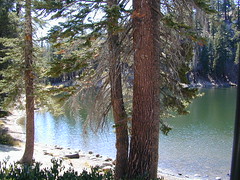
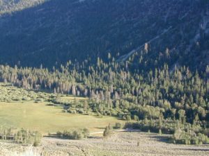
Stark Weather Lake

Originally uploaded by danamight

Mammoth Mountain Lakes / Eastern Sierra Fishing

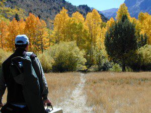
Sure splendor for fishing, most of the time. Lake fishing, stream fishing, river fishing. Fishing the Eastern Sierra area, near Mammoth Lakes, California can be very rewarding. You may have read about places like these in the sports magazines, seen them on a television program, or imagined them in a fishing vacation day dream. Summers can be crowded, so pick a lake and camp carefully. Weather can change quickly, so come prepared. Autumn fishing w/ the golden aspens and less crowds is preferred.

fishing trip

Most of these Eastern Sierra lakes listed below are accessible by car, others by foot. Look at the photos, pick a destination and get a good map of the area, so you can explore everything around too.

Mammoth Lakes Area

Mammoth Area Lakes – Mammoth City

Mammoth Area Creeks –

Mammoth Area Rivers –

  • Owens River (high desert valley)
  • San Joaquin River (high country)

junelake

June Lake Loop
Eastern Sierra, US 395 @ Hwy 158

June Area Lakes –

June Loop Creeks –

Mammoth Maps

inyo maps
Inyo National Forest Map

Ansel Adams Wilderness Maps
Devils Postpile Map
Mammoth High Country Map
Mono Divide Trail Map
Mammoth Mono Map NatGeo

other Eastern Sierra maps –

Bishop Pass Trail Maps
Hoover Wilderness Trail Map
John Muir Wilderness Maps
Mono Lake Map
Palisades Trail Maps
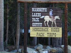
horseback overnight trips
Abundant Horse Packers in Eastern Sierra, California

Ansel Adams Wilderness

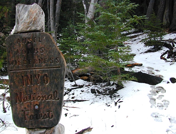
anselwoodsign

Alpine high country hiking, Sierra Nevada mountains, California

Ansel Adams Wilderness Area

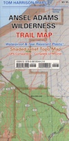
Ansel Adams Trail Map, Tom Harrison
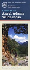
Ansel Adams Map, Forest Service USDA
Ansel Adams Map, NatGeo

Ansel Adams Hiking Map
The Ansel Adams Wilderness is an area in the Sierra Nevada of California. The wilderness is part of the Sierra and Inyo National Forests, in the Eastern Sierra portion of the range, overlooking Mono Lake. Yosemite EAST is what NatGeo likes to call it. The wilderness spans 231,533 acres with Yosemite National Park lies to the north and northwest, while the John Muir Wilderness lies to the south.

The wilderness was established as part of the original Wilderness Act in 1964 as the Minarets Wilderness. The 109,500-acre Minarets Wilderness was created by enlarging and renaming the Mount Dana-Minarets Primitive Area.

In 1984, after his death, the area was expanded and renamed in honor of Ansel Adams, well-known environmentalist and nature photographer who is famous for his black and white landscape photographs of the Sierra Nevada.

Ansel Adams Wilderness Map

outdoor recreation –

  • backpacking
  • camping
  • fishing
  • hiking
  • horseback
  • ice climbing
  • lakes
  • mountaineering
  • peaks
  • wildflowers

surrounding park & forest lands –

nearby towns –

leeviningvalley
lee vining canyon

Ansel Adams Wiki
Ansel Adams Hiking on Summit Post

Day hikes or overnight backpacking trips require a Wilderness permit and can be obtained at the local ranger station. A good topo map will also prove invaluable on your hike. Access trailheads for Ansel Adams Wilderness from EAST and WESTERN sides of the Sierra Nevada range.

Ansel Adams Trailheads from the west –

Onion Springs Meadow trailhead, Vermillion @ Lake Edison (Sierra NF)

Isberg trailhead & Mammoth trailhead @ Granite Creek Campground via Beasore Road, way up behind Bass Lake (Sierra NF)

Isberg Pass trailhead from Yosemite National Park

Ansel Adams Trailheads from the east –

Bloody Canyon, Walker Lake trailhead, near Grant Lake on June Lake Loop (Inyo NF)

Rush Creek / Fern Lake trailhead, near Silver Lake on June Lake Loop (Inyo NF)

Agnew Meadows trailhead & Minaret Vista trailhead, Mammoth Lakes CA (Inyo NF)

Devil’s Postpile trailhead, behind Mammoth Lakes CA (Inyo NF)

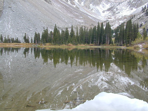
Fern Lake Reflection
Fern Lake, day hike from Hwy 158 (June Lake Loop)