Category Archives: Sightseeing

Big Meadows California

Highlands Ranch
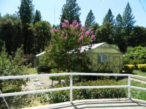
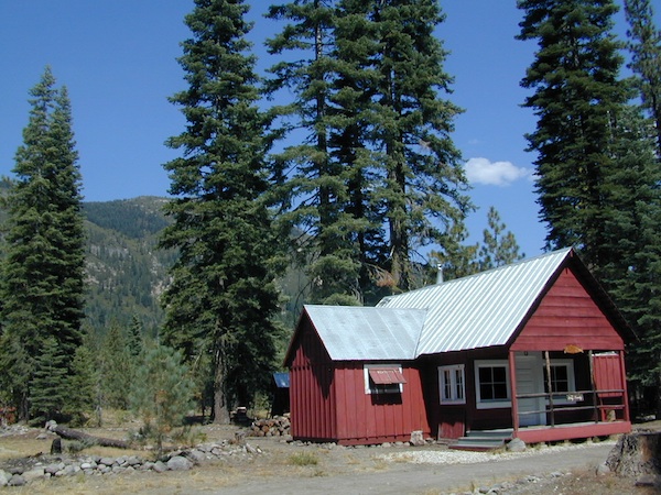
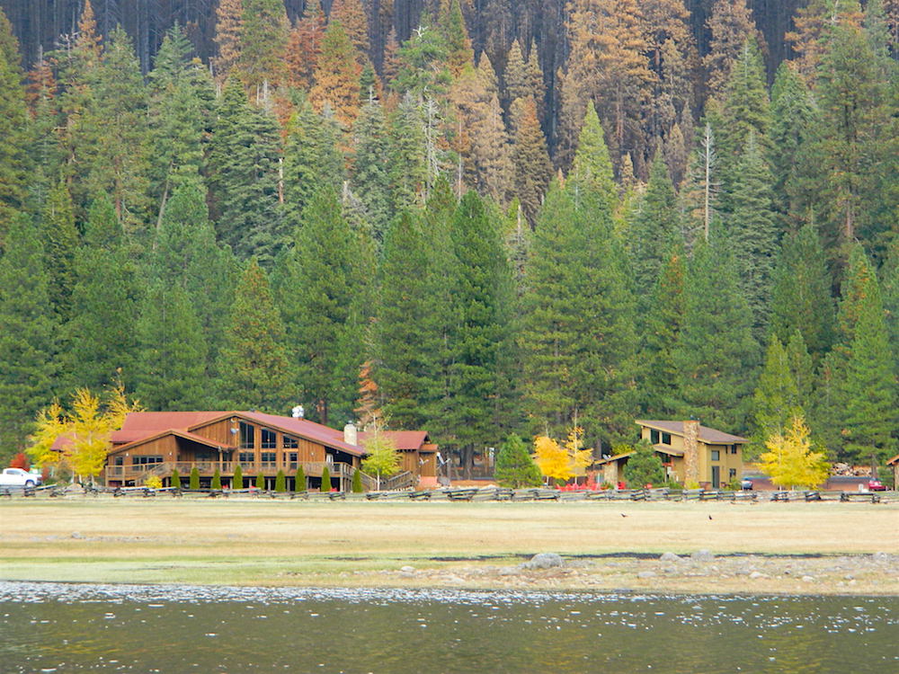
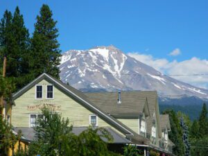
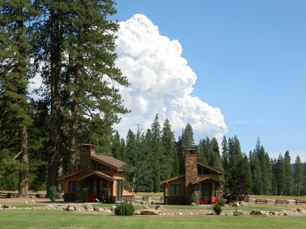
Highlands Ranch Resort cottages on Child Meadow
Childs Meadows Lassen
Childs Meadows @ Lassen

Big Meadows, California

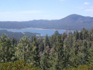
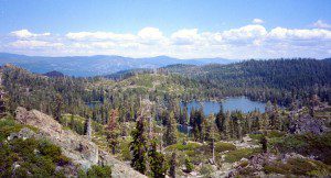
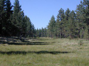
In the mountains numerous places called ‘big meadows’ exist in California. Large meadows, huge meadows, high elevations and low. We are truly blessed by such a natural beauty in our local region. Remember those who have protected the land for future generations.

  • camping near
  • picnic
  • cattle grazing
  • hike thru
  • bike around
  • horseback riding
  • cross country ski
  • snowmobiling
  • stargazing
  • wildflowers
meadowroad
Inyo National Forest – highcountry backroads

For Southern California meadows – Mount Pinos has a large meadow next to the walk-in campground, Chula Vista. San Diego’s Laguna Mountain has some meadows and Big Bear Lake offers sage meadows, on the Fawnskin side.

Wild Meadows range from 3000′ elevation in the foothills, to about 11,000′ elevation in the highcountry. Vacant of trees, these wide open areas are generally colder spots, with moisture and with fragile ecosystems.

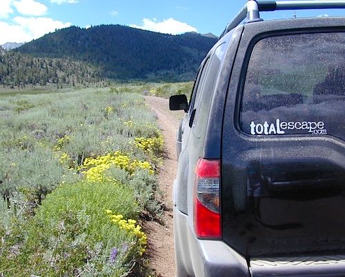
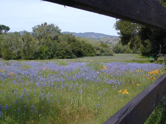
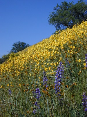
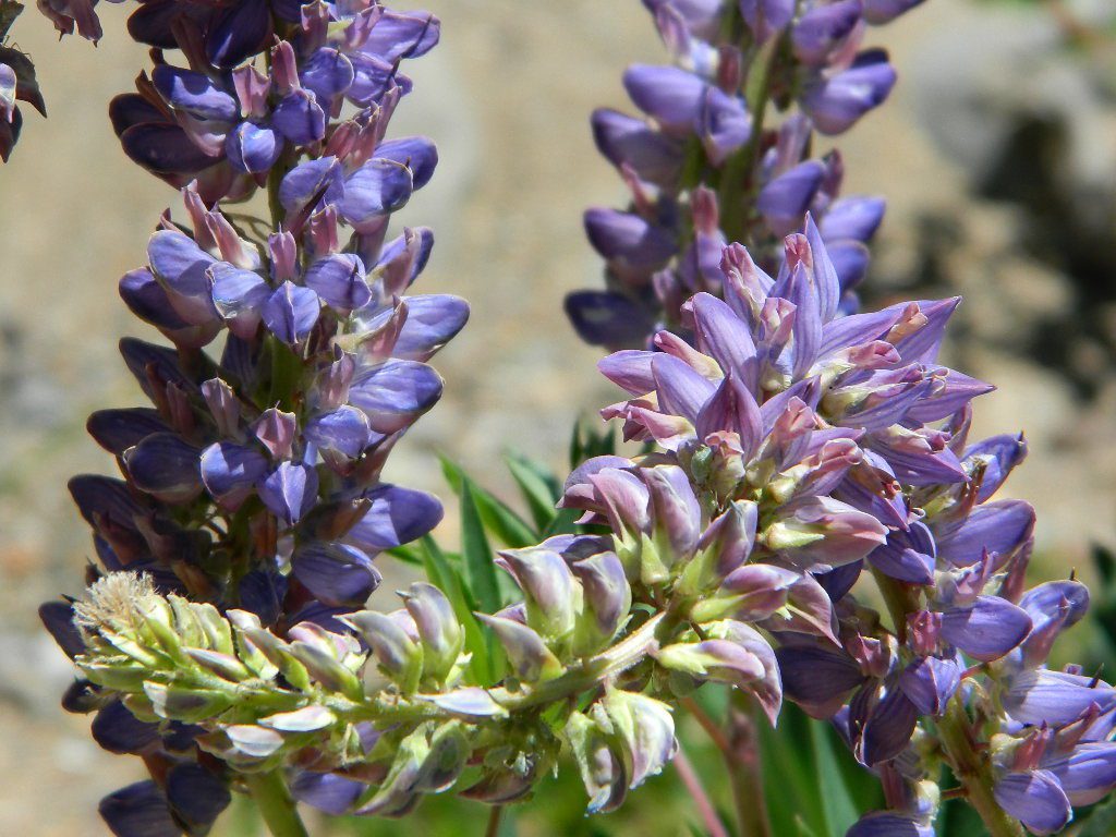
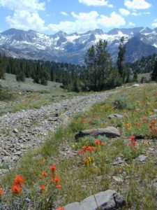
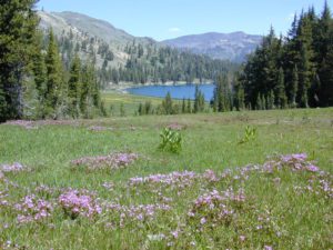
Eastern Sierra’s Inyo has gorgeous meadows of lupine wildflower (see above). Cattle grazing and 4×4 roads all over, up to 12,000′. High country mountain peaks surround. That area is called Coyote Flat w/ Coyote Lake. 4WD needed! Winter, snowy and almost inaccessible.

SNOW – Since meadows are generally located in the mountain regions, deep winter snow can make these special places impossible to reach (for about half the year). Summer is the prime time to explore the higher elevations, so plan accordingly.wildflower

WILDFLOWERS – Remember that the higher the elevation, the later the wildflowers will bloom. High Sierra meadows often bloom well into July & August.

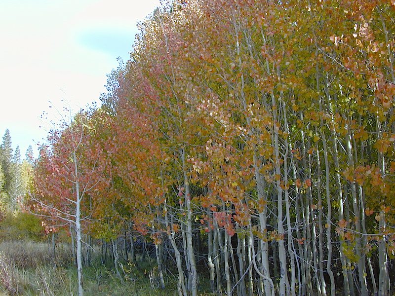
AUTUMN COLORS – Aspen groves are often located next to meadows. Fall colors can be quite decent around October, before the first snow fall of the season.
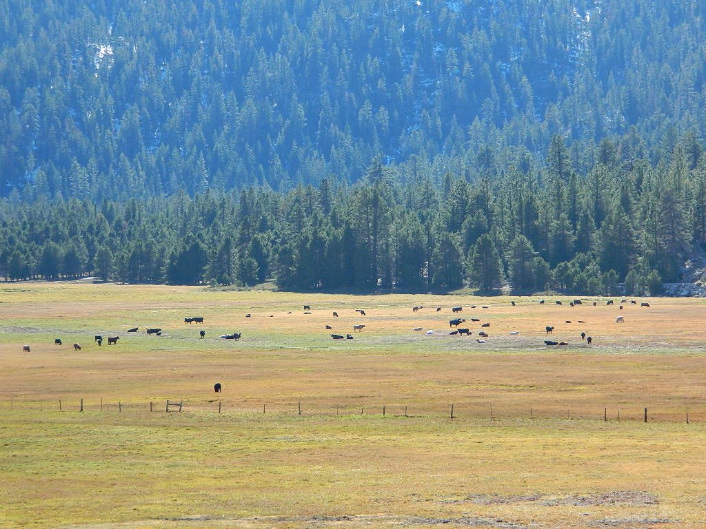
Big Meadow Kern
Big Meadow, Kern Plateau in Sequoia NF

MENDO glade – In the Mendocino National Forest the meadows are called “glades” – and the area has been heavily impacted by wildfire. Snow Mountains Wilderness was totally burnt in the Ranch Fire 2018, the largest wildfire in California history.

NORCAL history – Some Mountain Maidu tribes are known as the “Big Meadow Indians” – they made the Big Meadows of the Upper Feather River their home. Damming the Feather River created Lake Almanor in 1914, which flooded the meadows and forced native people to relocate.
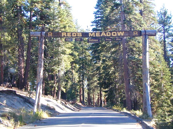
reds meadow
Horse pack station Red’s Meadow, behind Mammoth Mtn. Eastern Sierra

The Big Meadows below are listed from south to north.
Enjoy!

Big Meadow Sequoia, Kern Plateau, off Sherman’s Pass Rd

Big Meadows Road #14S11, Giant Sequoia NM
(in between Kings Canyon NP & Sequoia NP)

Big Meadow Campground, Sequoia, Road #14S11

Big Meadows Campground, Stanislaus NF, near Arnold, CA

Big Meadows Campground, El Dorado National Forest

Big Meadow Campground, Rock Creek Canyon, Eastern Sierra

Big Meadow Campground, Hell Hole Reservoir
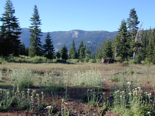
Cherry Mdws

Other awesome meadow areas include –

Monache Meadows, near Kennedy Meadows @ PCT
Horse Meadow Campground NFS, Kern Plateau
Dome Land Wilderness – Manter Meadows
Shirley Meadows Road #25S15
Powell Meadow Rd#21S36, Sequoia National Forest
Jerky Meadows – Lloyds Meadow Road #22S82
(primitive camping & trailhead Golden Trout Wilderness)
Jackass Meadow, Sierra National Forest
Horseshoe Meadows Road, Lone Pine, CA
Dinkey Creek Road, Sierra National Forest
Lake Henshaw, N San Diego County
Laguna Meadows, Cleveland NF, San Diego Mountains
Indian Valley – Greenville & Taylorsville, North Sierra
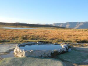
Grover Hot Springs, Sierra Nevada
Dixie Glade Campground, Mendocino NF
Kingsley Glade Campground, Mendocino NF
Sugarfoot Glade Campground, Mendocino NF
Beasore Meadow, way up behind Bass Lake, CA
Dunderburg Meadow, off Green Creek Road
Butte Meadows – N of Chico, CA
Blue Lakes Road – Sierra Nevada, South of Tahoe
Kaiser Pass Meadows, above Huntington Lake, CA
Jones Valley/Jones Meadow – SR 172 in Lassen NF
Spencer Meadows (hike) – trailhead @ Hwy 36 @ Lassen
Battle Creek Meadows @ Mineral, CA & Lassen NF

Childs Meadows – along Hwy 36 @ Lassen NF
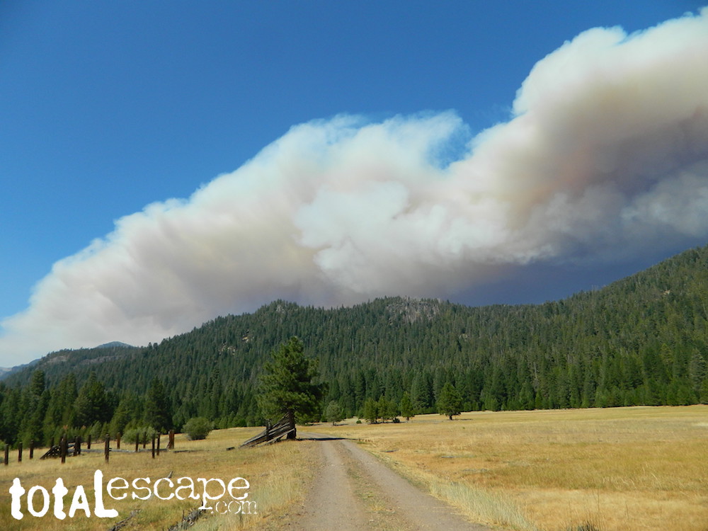
Dixie Fire @ Childs Meadow AUG 2021

MOUNTAIN MEADOWS are the perfect place to watch meteor showers! Bring your tarps, blankets, pillows and lounge chairs, plus plenty of snacks & drinks for the overnight adventure.
LagunaMdws
Laguna Mdws, Cleveland NF
inyohighroad
click to expand

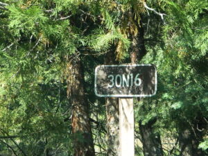
30N16 – Lassen NF

Nanny Creek Trail
Lassen Road 30N16

30N16 entrance

Lassen Back Roads
Lassen Rd #30N16 – Lassen National Forest
Nanny Creek / McGowan XC
E of Mineral, CA

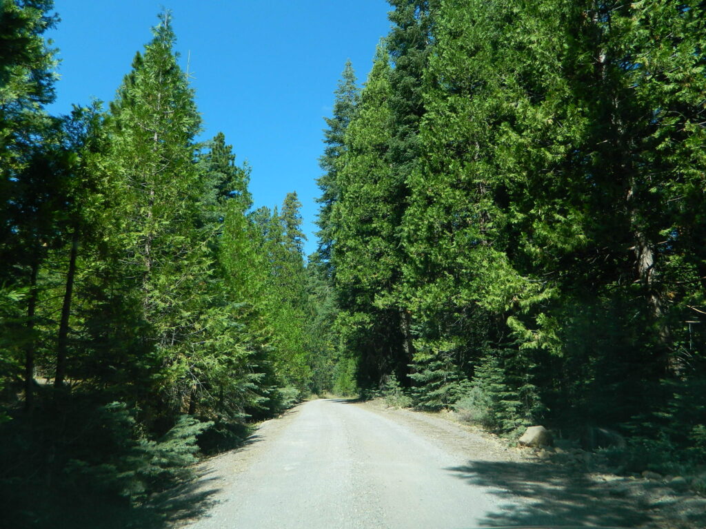
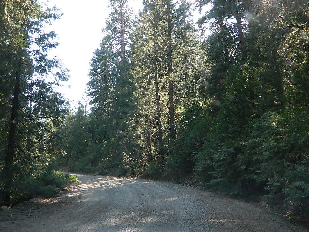
Narrow dirt road thru dense forest, connects Highway 36 to Lassen Route #29N22 (Dry Lake Trail) and then heads west to meet with Lassen Road 17 (aka #31N45)

McGowan at SR 36

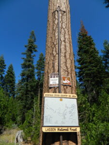
McGowan Cross Country Ski Area (USFS link)

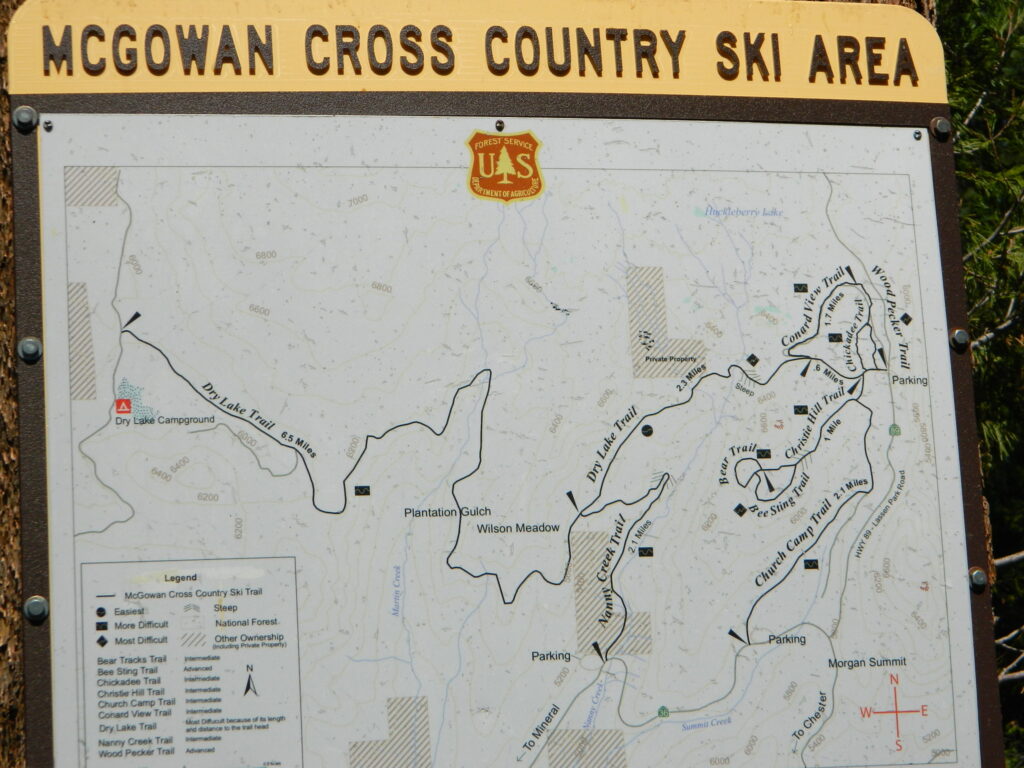
The McGowan Lake Cross-Country Ski Area has been in existence since 1982 and offers 10 miles of trails, 5 miles of which are periodically groomed.

Literally in the shadow of Lassen Peak, McGowan area trails wander through mixed conifer forest and are popular with beginning to advanced skiers. Elevations range from 5,020 to 6,200 feet. McGowan cross-country ski trails are closed to all motorized vehicles.

snow

XC Ski McGowan
click to enlarge map

NOTE: No OHV riding, nor snowmobiling on this route!

WINTER – snow fall begins as early as November and lasts thru May. Road can be muddy in late spring.

SUMMER – this dirt road is accessible by automobiles during warmer months only and is not gated.

campfire

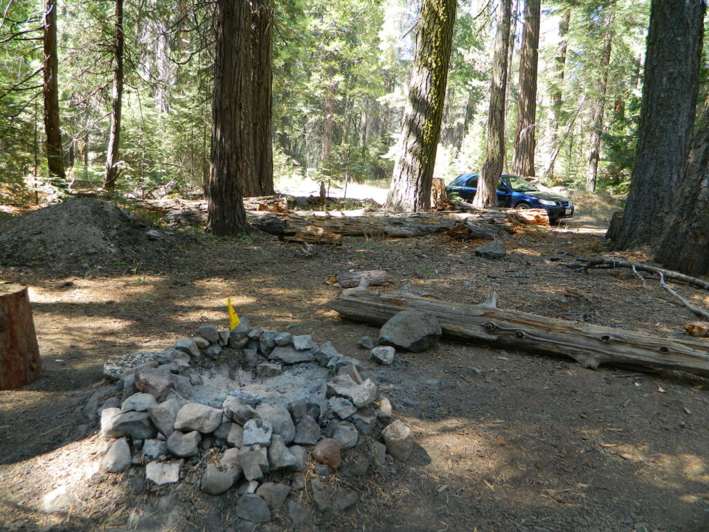
A few dispersed campsites along route 30N16, within the first mile from the pavement (Hwy 32). These precious few camps are usually in high demand during summer months! Head up hill a few more miles, deeper into the forest and find a real secluded site, dispersed style.  Campfire Permits are always required for back country fires; found at nearest ranger station USFS in Mineral, CA

camp

boondock lassen

The first portion is a 2.1 mile long dirt road follows Nanny Creek about a mile, then it banks left, uphill to meet with 29N22. Sugar Pine Trailhead is located on this upper section of 30N16; a small wooden sign in a dense thicket can be seen on right side of road.

Sugar Pine Trail on GoogleMaps

gravel road summer

Junction with 29N22
#30N16 @ wide intersection w/ #29N22 – right turn for McGowan Lake, Christie Hill and the Volcanic National Park.

Road 30N16 continues westbound – Left turn for Heart Lake Trailhead, secluded boondock campsites and eventually, this dirt road ends @ Lassen Road 17 (#31N45) which is also a dirt road (and locally known as the Viola-Mineral Road), connecting Hwy 44 to Hwy 36.

DEEP SNOW can keep these dirt roads closed well into summer months, depending on the snow year. Keep this in mind when planning any early season recreation.

hiker

Broke Off Trail Lane intersects this 30N16 road right at the highway (36). It is the hard left that heads steeply up the rocky incline and skirts the highway headed west; Connects to the White Fir Lane road system above the small town of Mineral, CA.

30N16 sign

locations nearby:

DanaMite

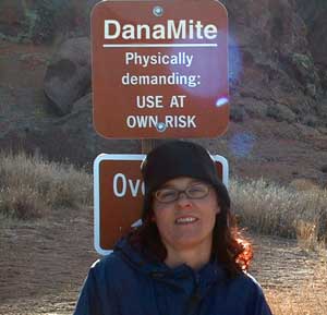
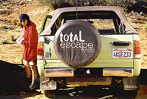
DanaMite founder of Total Escape

Internet Pioneer

totalescape.com  – online since 1996

(before the dot com crash, before digital cameras, before GPS, before social media & way ahead of smartphones)

Sole creative force of Total Escape, Dana Williams left her 3D animation career to start living and working her dream job, online and off. Utilizing artistic talents, computer skills, a vast knowledge of the California landscape and a simple love of nature, to make it all come together for a killer web site called Total Escape.

27 years online means fresh content & updates every month; reworking web code every few years to keep up with various browsers, apps, maps, and wildfires.

facebook flickr twitter 

“travel agent to the back woods”

greenhouseLiving close to the earth with organic gardening and rural living, DanaMite strives to offer California residents, new-comers and visitors unique, local destinations, concentrating on the outdoors – well away from overcrowded, busy, urban cities and tourist traps. Total Escape can show you how to discover the secret, hidden spots on your public lands that the gov web sites will not even dare to mention.

Support this site

help keep
total escape
online


the independent source for California travel

NO CORPORATE sponsorshipCalifornia Camping Photos
No venture capital
No government subsidies
No annoying pop-up ads
No scripts chugging bandwidth

No membership needed


Decades without a television set lends plenty of time for studying terrain, topographic maps, GPS coordinates and thousands of photographs to compile more than 8000 pages on just California travel. Far from the daily grind of everyday life, DanaMite continues in educating the public about local travel, camping, family farms, organic cafes, outdoor recreation, respecting the land, responsible use of our resources & how to get more enjoyment out of weekend travels.

outdoor girls

Things that started Total Escape:


entrepreneur

YOUR SUPPORT keeps Total Escape going:

youtube100

Expert Camping Pro California
40+ years of documenting back roads of California, plus some Baja & Utah too!
utahlover
DanaMite loves Utah, almost as much as she loves California.
tejonpass
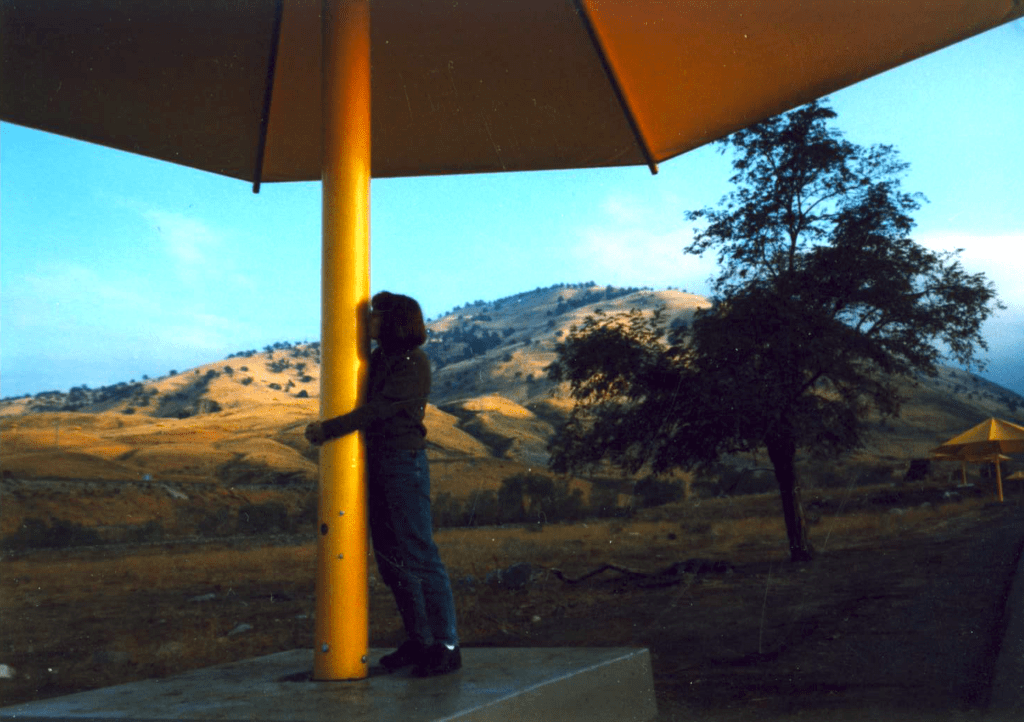
Tejon Pass “Cristo’s Umbrellas” art installation 1991. Photo copyright – Kevin Robinson

condor costume

Dana’s Dirt

Dana is all about Total Escape!

Never married, No kids
No wifi, No smartphone
No tattooed eyebrows

Red Dirt HikesIf you could care less about celebrity gossip or television, you are not alone. Many people seek more relaxing travel in their lives, but can barely afford a vacation, or a day off of work.
DanaMite is all about dirt – being outside and inspiring you to be outside as much as possible.


I began car camping in the Borrego desert while in college as an easy, inexpensive “weekend away from the city”. Cheap, literally dirt cheap outdoor vacations. Free camping, if you really know the good areas.

Whether you dig hiking or biking on dirt, sleeping in the dirt (tent camping) or wheelin in the dirt, we have the TOTAL DIRT on California. Back Roads, Hot Springs and tons of outdoor destinations inside the golden state. Nearly 3 decades online, we’ve been here from the start.

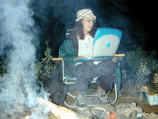
ibook with campfire 2002

Dirt roads, dirt campsites, dirt trails. Desert dirt, mountain dirt, coastal cliffs to country canyons w/ huge reservoirs. All California dirt, terrain, forests and water too.

dana's dirt

Start discovering your own back yard California. 

twitter
blogger
flickr

HeresTrouble
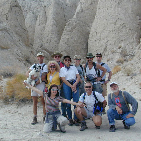
Anza Borrego SLOT CANYON hike, circa 1999
Teenage Dana
Teenage Dana, 1983
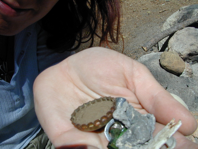
microtrash
Microtrash is all that small stuff that seems to miss the trash bag.

CA Holiday

California Holiday Calendar

Annual calendar holidays & night skies for 2023

alex valley

This list below is published by Total Escape, so you can easily plan your weekends away and your outdoor vacations, your fishing trips, your stargazing nights, your valuable three day weekends

holiday dates for 2023

JANUARY

  • Sunday, January 1   New Year’s Day
  • Friday, January 6   (full moon)
  • Quadrantid Meteor Shower
  • Monday, January 16   Martin Luther King, Jr. Day

FEBRUARY

  • Thursday, February 2   Groundhog Day
  • Sunday, February 5   (full moon)
  • Friday, February 14     Valentine’s Day (full moon)
  • Monday, February 20     President’s Day Weekend
  • Tuesday, February 21   Mardi Gras Fat Tuesday
  • Wednesday, February 22  Ash Wednesday

MARCH

  • Tuesday, March 7 (full moon)
  • Sunday, March 12   Daylight Savings Time starts
  • Friday, March 17   Saint Patrick’s Day
  • Monday, March 20  Vernal Equinox (Spring)
  • Tuesday, March 21 (new moon)

APRIL

  • Saturday, April 1   April Fools Day
  • Sunday, April 2  Palm Sunday
  • Wednesday, April 5  (full moon)
  • Thursday, April 6   Passover
  • Friday, April 7   Good Friday
  • Sunday, April 9   Easter Sunday
  • Lyrid Meteor Shower
  • Wednesday, April 19  (new moon)
  • Saturday, April 22   Earth Day
  • Friday, April 21 Arbor Day

MAY

  • Thursday, May 5   Cinco de Mayo (full moon)
  • Sunday, May 14   Mother’s Day
  • Eta Aquarid Meteor Shower
  • Friday, May 19  (new moon)
  • Monday, May 29   Memorial Day

JUNE

  •  Saturday, June 3 (full moon)
  • Wednesday, June 14 Flag Day
  • Saturday, June 17 (new moon)
  • Sunday, June 18  Father’s Day
  • Wednesday, June 21 Summer Solstice

JULY

AUGUST

  • Tuesday, August 1 (full moon)
  • Perseid Meteor Shower
  • Wednesday, August 16 (new moon)
  • Thursday, August 31 (blue moon)

SEPTEMBER

  • Monday, September 4   Labor Day
  • Saturday, September 9  Native American Day
  • Saturday, September 23  Autumnal Fall Equinox
  • Thursday, September 14  (new moon)
  • Friday, September 29  (full moon)

OCTOBER

  • Monday, October 9    Columbus Day
  • Orionid Meteor Shower
  • Saturday, October 14 (new moon)
  • Saturday, October 28  (full moon)
  • Tuesday, October 31   Halloween

NOVEMBER

  • Sunday, November 5   Daylight Savings Time ends
  • Tuesday, November 7   Election Day
  • Saturday, November 11     Veterans Day
  • Leonid Meteor Shower
  • Monday, November 13 (new moon)
  • Thursday, November 23     Thanksgiving Day
  • Monday, November 27 (full moon)

DECEMBER

  • Tuesday, December 12 (new moon)
  • Geminid Meteor Shower
  • Thursday, December 21  Winter Solstice
  • Sunday, December 24  Christmas Eve
  • Monday, December 25   Christmas Day
  • Tuesday, December 26   (full moon)
  • Sunday, December 31  New Years Eve

National Forest Cabins

California Fire Lookouts for Rent
US Forest Service Cabins

red cabin

NFSlogo
Rent a secluded cabin with an amazing view, a historic tower for wildfire spotting, or a USFS guard station – hidden deep inside USDA California National Forests. Several of these NFS lookouts have been closed recently, so the ones listed below have links to status and reservation information.

Dirt road access is common to reach these remote locations. Some require stair climbing, or steep access hikes. Winter months are usually snowy, inaccessible and sometimes dangerous for these high country locations. Access roads suffer from closures due to rock slides or landslides. Check with the locals ranger station for current conditions.

A few of these rentals are open all year long – in the southern part of the golden state.

El Dorado National Forest USFS

Harvey West Cabin
4,720′ elev. on Silverfork American River, Gold Rush

Loon Lake Chalet
6375′ elev. near Georgetown, Gold Country California

Robbs Peak Lookout
Robb’s Hut / Robbs Cabin
6686′ elev near Placerville, Gold Country California

Sly Guard Cabin
Sly Park @ Jenkinson Lake, near Placerville, Gold Country California

Van Vleck Bunkhouse
6549′ elev. near Georgetown, Gold Country California
download PDF info sheet

Lassen National Forest USFS

McCarthy Point Lookout
overlooking Mill Creek Canyon and Ishi Wilderness
ranger & info 530-258-2141

Mendocino National Forest USFS

Pine Mountain Lookout
>>>> Renovated & ReOPENS soon! April 2020
4400′ elev.  over looking Eel River wilderness
ranger & info 707-275-2361

Plumas National Forest USFS

Crocker Guard Station
5700′ elev. near Meadow on back road
Lake Davis Loop, way out behind Portola, California


Big Bear Lake 2002
Big Bear Lake, Southern California

San Bernardino National Forest USFS

Coon Creek Cabin
Actually this one is a reservable group campground – next to a set of historic cabins. Big Bear Area Group Camp Site. Heart Bar Rd #1N02 near Angeles Oaks, CA

Morton Peak Fire Lookout
(no longer available overnight stays 2019)

Coon Cabin
Coon Cabin – Southern Cal

Sequoia National Forest USFS

Big Meadows Cabin
Big Meadows Guard Station
off Big Meadows Rd #14S11
7600′ elevation; located in between Sequoia NP & Kings Canyon NP

Camp 4 ½ Cabin
1100′ elevation; Lower Kings River
near Pine Flat Lake, CA

Grouse Valley Cabins
3 cabins near lakes; Giant Sequoia National Monument, Western Divide
4800′ elev.

Mountain Home Guard Station
Mountain Home State Forest, Sequoia Groves
6000′ elev. near Springville, CA

Needles Fire Lookout
(destroyed in structure fire 2011)

the needles
View of The Needles, from Dome Rock on Western Divide Highway (CLICK TO ENLARGE)

Oak Flat Lookout
Oak Flat Cabin Rental
4900′ elevation; Kern River canyon near Lake Isabella

Poso Guard Station Cabin Rental
open all year round4500′ elev. near Kernville, CA

Quaking Aspen Cabin Rental
Giant Sequoia National Monument, Western Divide Highway near Ponderosa, CA

Wishon Cabin Rental
Tule River, Giant Sequoia National Monument; open all year round. 4000′ elev. near Camp Nelson, CA

Shasta/Trinity National Forests USFS

Forest Glen Guard Station
near Trinity River & Forest Glen, CA

Frog Meadow Guard Station
7760′ elev. near Lake Isabella, CA

Girard Ridge Lookout
Historic Fire Lookout Tower
4809′ elev. near Dunsmuir, CA

Hirz Mountain Lookout Tower
Hirz Mtn. Fire Watch Tower Rental
overlooking Shasta Lake, CA
(currently closed for repairs 2019)

Harris Springs Guard Station
near McCloud, CA

Little Mount Hoffman Lookout
Mt. Hoffman Rental
7000′ elev. near McCloud, CA

Post Creek Guard Station
near Hayfork & Platina, CA


Sierra National Forest USFS

Camp Four and a half Cabin
Camp 4 ½ Cabin Rental
Lower Kings River, open all year round
1100′ elev. near Pine Flat Reservoir


Six Rivers National Forest USFS

Bear Basin Butte Cabin & Fire Lookout
elevation 5300′ in Six Rivers NF / Smith River NRA
(road damage & access issues 2017)

Tahoe National Forest USFS

Calpine Lookout Cabin Rental
near Sierraville, CA

Sardine Peak Fire Lookout
overlooking the Sierra Buttes and serene Lakes Basin, Yuba Rivers, North Gold Country CA

lakes basin views


Childs Meadow

Childs Meadows @ Lassen Forest

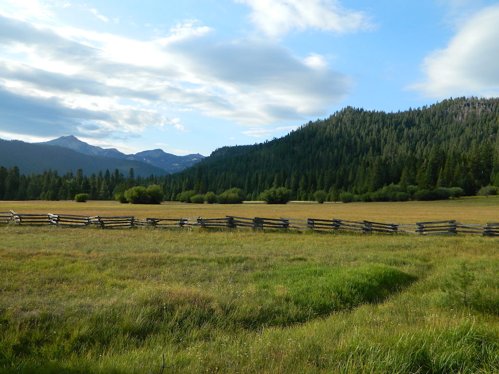
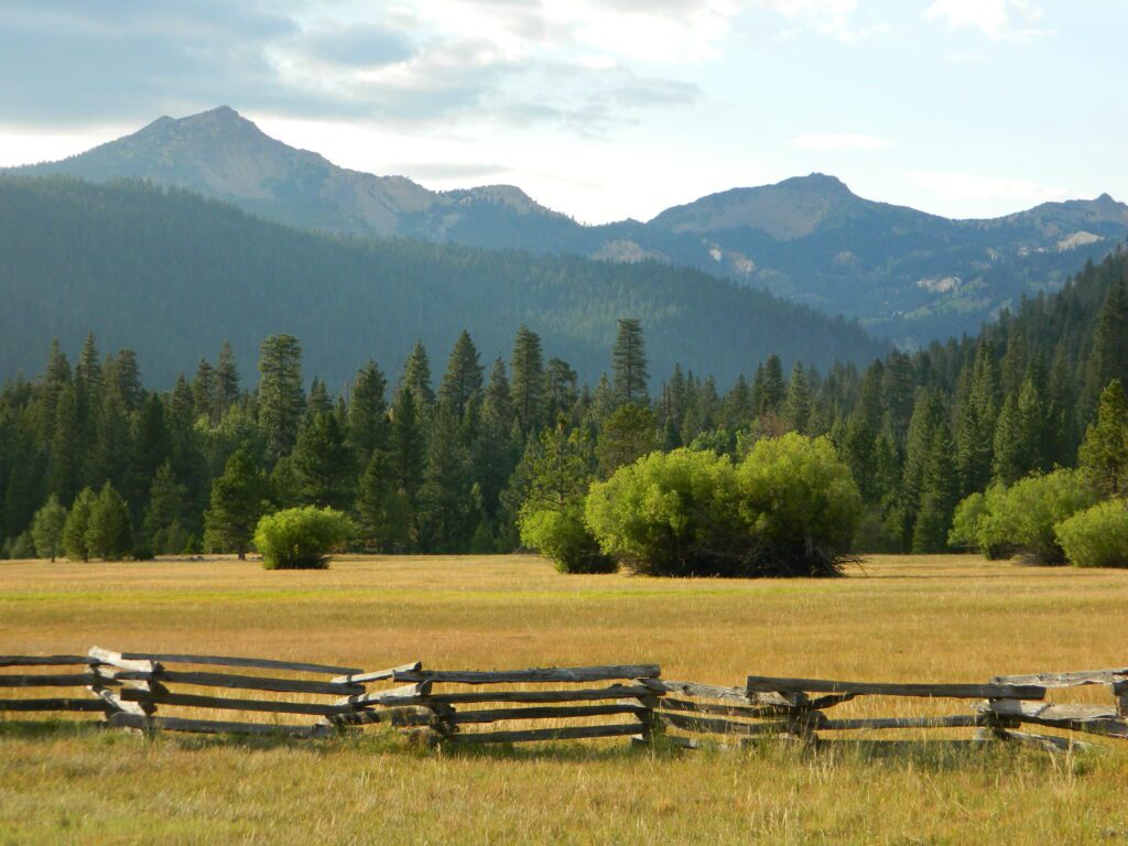
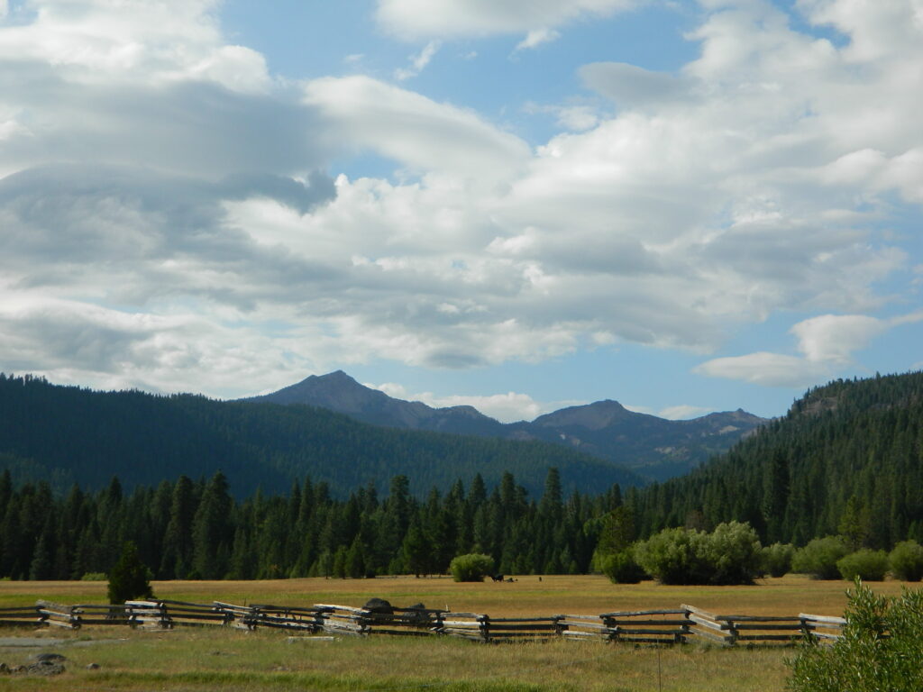
on the Lassen National Forest map this huge meadow area along Highway 36 is marked as “Childs Meadows”

morgan mtn burnt
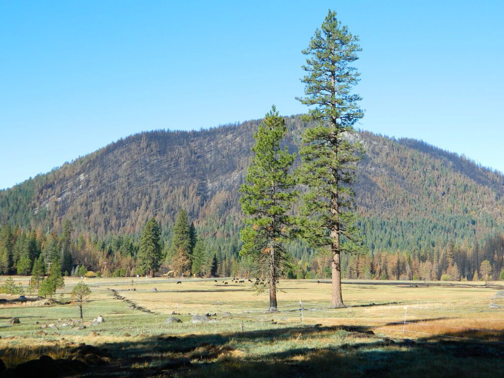
Morgan Mountain above Childs Meadow after the fire 2021

Childs Meadow sits at 5000 feet in elevation, on the edge of the Mill Creek drainage, just south of Lassen National Park. The meadow spans from Mill Creek, eastward along State Route 36 for many miles. Gurnsey Creek flows down Wild Cattle Mountain, near the resort, crosses the pavement, and heads east to meet up with the Deer Creek drainage above Chico, California
This sacred meadow was the summer camp and ceremonial ground for native tribes that existed long before the white men showed up. The meadow basin was originally owned by J.C. Tyler who used it for summer grazing land. He established a resort about 1864 and by 1896 it was a regular stage stop for travelers.

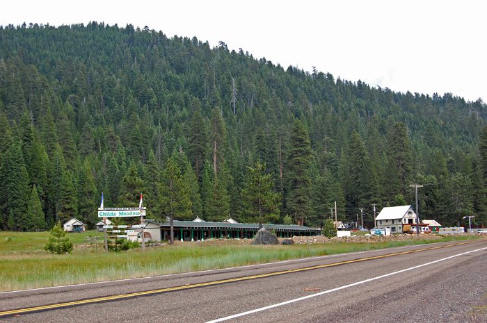
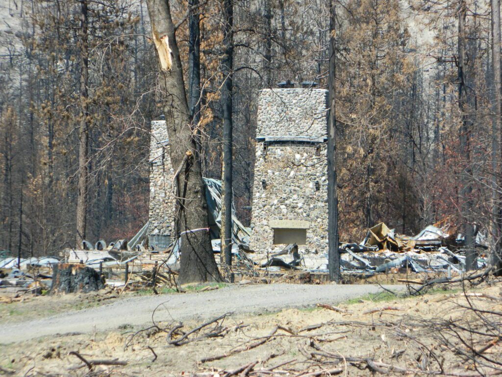
In 1900, Tyler sold the land to Abner Nanny who used it for summer grazing. Frank Childs purchased it in 1909 and also grazed livestock there seasonally. By the late 1930s a service station and cafe had been established. Then came cabins that were the precursor of the privately owned Childs Meadow Resort, which burned down some time later. These days Highlands Ranch Resort is the newest place to call this location home.

Lassen: Childs Meadow (before the fire)

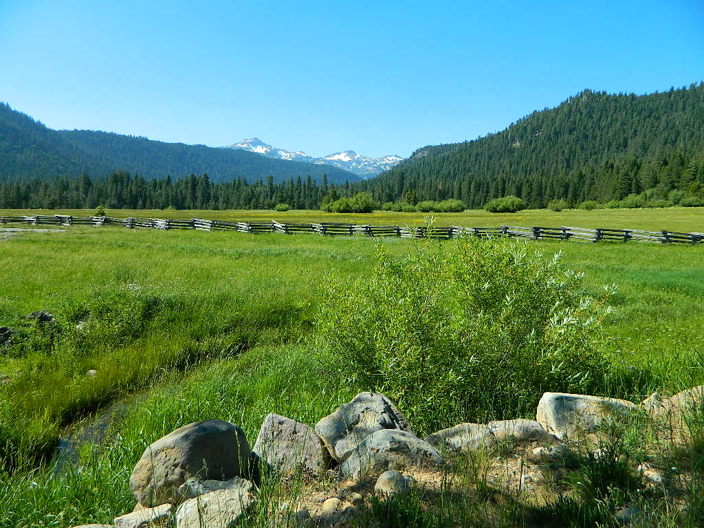
July 2011 vs. July 2021

lassenmeadows2011

What a difference a decade makes. Drought in California makes a green meadow brown!

Childs Meadow 2010
Childs Meadow Resort in 2010

NEW Highlands Ranch Resort @ Lassen

NEW Highlands Ranch Resort @ Lassen
Upscale Highlands Ranch Resort – Bar, Restaurant & Cottages

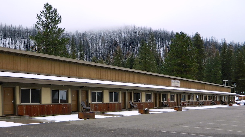
RENOVATED (2017) across the street
Village Inn at Highlands Ranch

Village Inn Childs Meadow Lassen
Village Inn @ Childs Meadow, South Lassen

mountains

MOUNT LASSEN MEADOWS
Lassen Peak @ 10,457 feet has the highest known winter snowfall amounts in California. There is an average annual snowfall of 660 inches, and in some years, more than 1,000 inches of snow falls at its base elevation of 8,250 feet.

childs meadows

and a month later (after I start this post)…
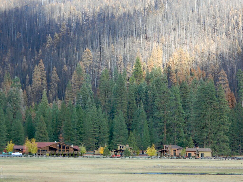
AUG 2021 the DIXIE FIRE

Burnt Above
Highlands Ranch Resort with Dixie Fire burn scar on ridge above 2021
October Snow Barn
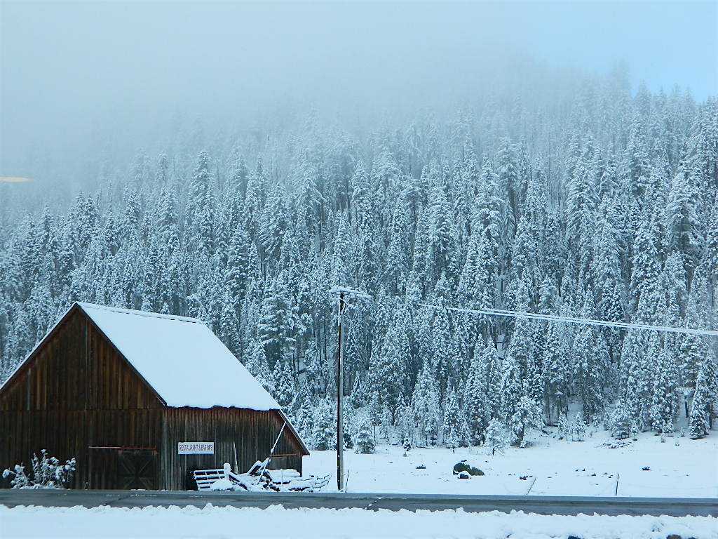
Historic Barn – early snow in October 2021

2007 – Nature Conservancy Buys Childs Meadow
times-standard.com/2007/10/20/the-nature-conservancy-buys-childs-meadow/

cafe and motel
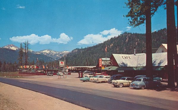
Cafe and Motel (1950s postcard )

As for the spelling on the name:
Childs Meadows is commonly seen on USFS maps, and found inside a book called Tehama County Place Names.
Most locals know it as Childs Meadow, but it also seen spelled with an apostrophe s – Child’s Meadow

Swimming Pool at Childs
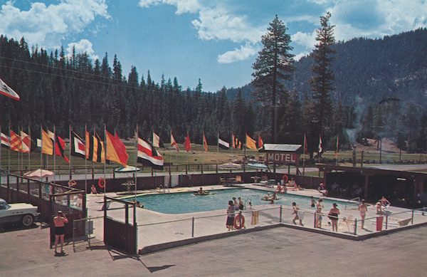
Swimming Pool at Childs Meadow Resort (1950s postcard)

Mortero Wash

Anza Borrego Desert State Park / Mortero Wash

San Diego Desert Camping

south anzaxterrayellow

Primitive desert car camping close to SD

fireboulders

Interstate 8 EAST from SD / exit Ocotillo. SD county road # S2, the south end near the State Park boundary. Gorgeous every season but summer. Great winter camping close to SoCal.

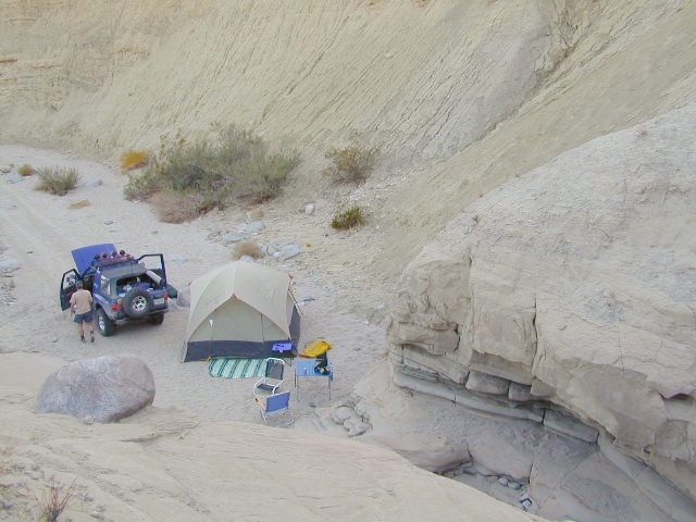
This  dirt road is located in a desert wash area, which starts west – off the paved road S2. The signed white desert wash is a suitable drive for passenger cars (most years). But you best have 4×4 if the rain gets going good. Low riders should watch for the ridge lines – as they are naturally rockier places and could take out an oil pan of a mini SUV (at a high rate of speed).

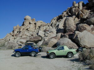
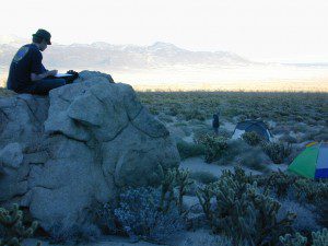
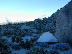
mortero campsThe giant boulders garden at the far end of this route have nice views of the Imperial desert floor. Better from the top of the boulders too; numerous primitive camp sites are tucked into the coves, surrounding the big boulders.

No toilets; no shade; no water; minimal vegetation. At night the stars are heavenly, but you can see city lights from Calexico and Mexicali.

train

GOAT TRESTLE?

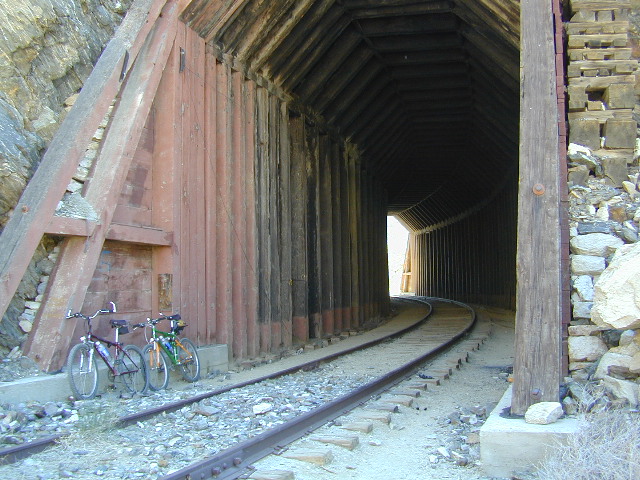
From this area you can hike or mountain bike up to the “old goat trestle” and numerous historic train tunnels @ Carrizo Gorge Goat Trestle (not to be confused w/ the wildflower destination called Carizo Plains in Kern Co). BRING A HARD COPY topographic MAP of this area, if you wish to explore past camp. Moderate hike, an all day adventure. Bring lunch and water!

bike on railroad

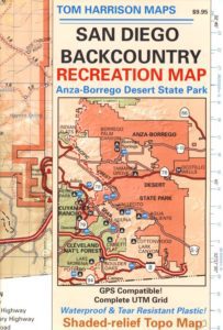
Tom Harrison Anza MAPSAN DIEGO Backcountry Map
this waterproof map has the entire State Park covered with all back roads, trailheads, campgrounds and railroad tracks

artistsview

bouldertents

When you decide to stop the car, look around for the best spot. Park off the road way and preferably in a turn out or camp spot. Turn off the engine, get out of the automobile, stretch your legs, breathe, look, close your eyes – tight and breathe deeply, then open and look around you again. This particular place is special, you can just feel it. Walking around the boulder area, be cautious of snakes.

On the boulders – closely examine them, climb on them, get to the top; you will find (Native American) Indian grinding holes called mortars or morteros.

gethigher

great side trip option: Across the paved road (SD County Road S2) on the opposite side of the valley is a nice hike to Sand Dollar Hill. (I’m sure this isn’t the real name). Dirt road leads up to a dirt parking area for hikers. Busy lil place sometimes. These desert dirt hills have wind caves and chunks of sand dollars scattered all over them. The real ocean floor way out here, east in the Anza SD desert… how cool is that?

great side trip option: Canon Sin Nombre is just up the road a piece, N on S2, on the EAST side of the road. Amazing viewpoint turn out, right on the highway, overlooking the impressive topography and badlands. If you have a high clearance SUV or any truck you can drive down into the sandy tight, rocky wash. It meets back up with another main wash way back there.

Tons to explore back here. Off roader should think Tread Lightly on this turf and primitive car campers should use a Leave No Trace approach. White sand, deep sand, caves, smoke trees, and the best slot canyon climbing & hiking this side of the Anza Borrego State Park.
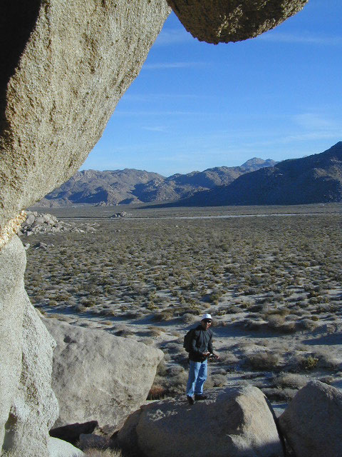
desert views

Parks and Recreation Magazine

California Parks and Wreck

tv the big distraction

step 1. kill your television
step 2. get outside, everyday
step 3. sleep overnight, under the stars

For those who may be still trapped in TV-Land, welcome to Total Escape, a dedicated web site all about the “real world” of wilderness and non-fiction, California style.

parksrectv

Before I started my web business people would suggest to me that I need to write a book. So I naturally chose the world wide web. Now decades later, they are still asking the same question. “Why don’t you write a book on this stuff?”

I say “I did, it’s online. On the internet already. Go look.”
Puzzled, they would turn away to gaze at their device.

Total Escape was created in the web 1.0 days (1996), so I could easily keep track of my many travels, the awesome destinations, my recommendations, my travel logs, zillons of photographs, camping trips, the back roads, signs, maps, GPS, all of it. I worked my day job doing 3D & then moonlighted starting this small web biz. My biggest draw to the internet format at first was being able to update outdoor info instantly. Secondly, it was the ability to work from anywhere with a phone line. (56k anyone?)

No toxic inks, no newspaper. No glossy mag. No waste. Just free digital energy about outdoor destinations, transferred across the cyber waves, just for you the avid Escaper.

park magazine

Then came the buy-out offers and seasonal magazine ideas from sources in San Diego. By late 2003, none had solidified. Several print magazines did however mention totalescape.com in a few articles, which resulted in some nice traffic spikes. Eternally grateful for the early on-lookers and participants!

Quite personally, I had already had my share of smelly inks, papers & paints in art college. Working in a computer career field, I was fully aware of the web in the early 1990’s. I was ready for the computer age & the internet. Eager in fact! Ready to make that leap from graphics & print concepts over to web windows was all I thought about for years.

I did not want to print anything; waste anything. I wanted my biz to be state of the art, futuristic – so here I am, 26 years later. WOW!

Thousands of photos, hundreds of destinations, all local to California. All by itself, Total Escape is a Parks and Recreation Magazine online – and always updating.

DanaMite
Total Escape – California, Off the Beaten Path
totalescape.com

California Outside Blog

California A to Z

AtoZsmalltowns

California Photos
flickr.com/photos/danamite/sets/

propanecampfire
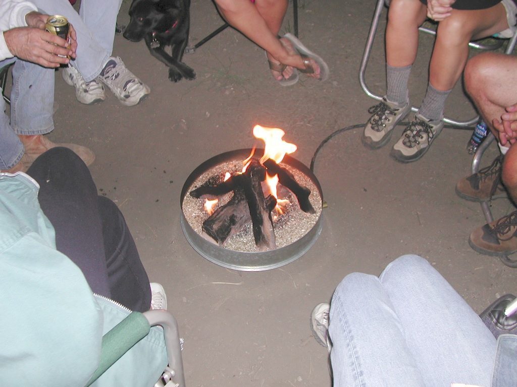
Stupid idea #544967 – the propane campfire
Shouldn’t we be looking up at the stars?

secluded camps

ranger

Parks & Forests

Wilderness List

califrepublic

California Google Maps

California Aspens

AspenGroves

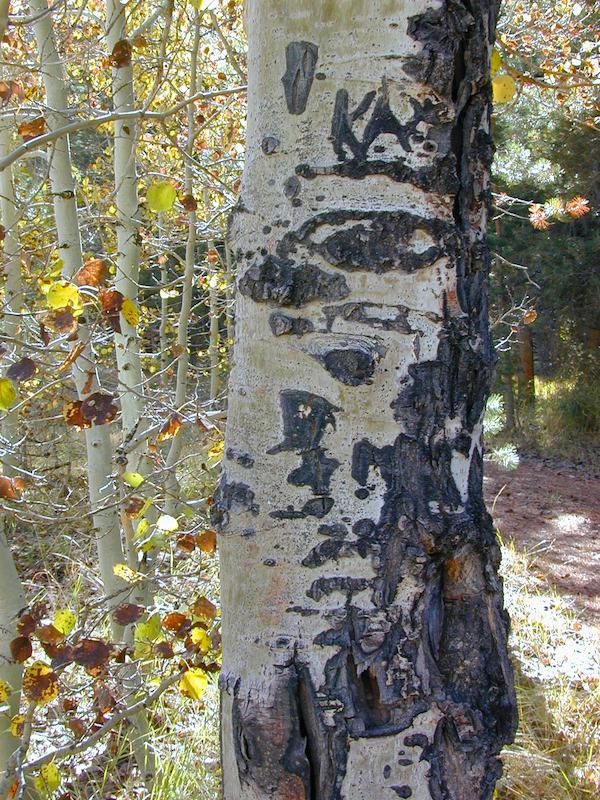
Aspen Groves are easy to recognize with their thick stands. White trunks with dark knots, slender, with oval shaped leaves. Growing in a network of roots, which are found lining creeks, alpine lakes, or spilling out from higher elevations, along  scenic canyons.

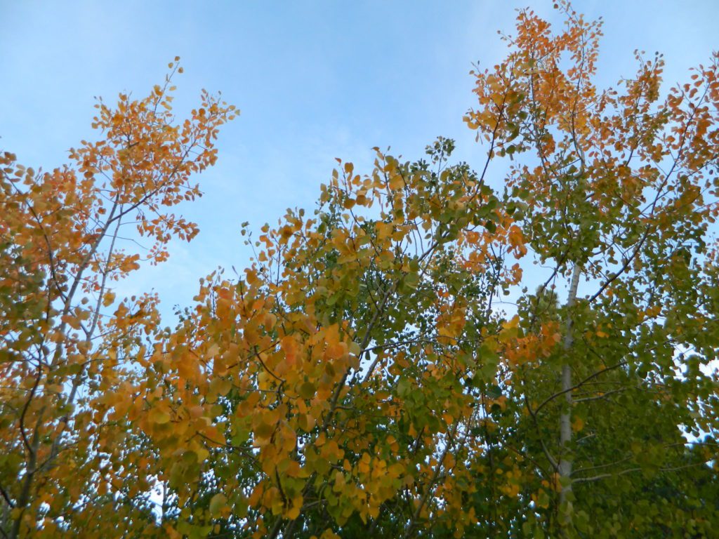
The unique round leaves which can turn spectacular colors in the fall season. The fluttering and flapping of the oval-shaped, thick, green leaf is a sure sign of summer. When breezes get cooler, Autumn is only a few weeks away and as quick as the cold comes in, what a short and special show they put on.

autumncabin
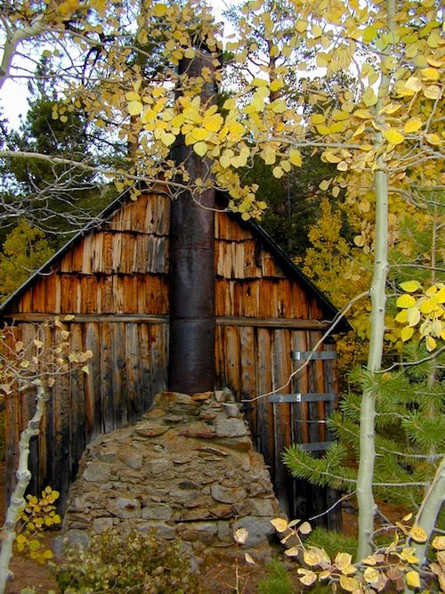
Green Creek historic cabin, on the Eastern Sierra

California Fall Colors

Aspen trees can be found at higher mountain elevations in California, usually above 4000′ – all the way up to about 10,000′ or higher, depending on the mountain range and local water flows. Groves have an extensive root systems underground, so they often withstand wildfires and can come back after the rest of the forest is gone.

Beavers build dams in creeks around aspen trees, fishermen and campers love to camp next to aspens, and lovers carve their initials into their white bark. These trees do indeed take a beating, from all angles, winter weather included… so stop from cutting them!

carvings

fishing creeks mountain biking stargaze Picnic Camp Hiking horseback back roads mountains

  • BIKE
  • CAMP
  • FISH
  • HIKE
  • KAYAK
  • PICNIC

summer and autumn

These deciduous trees are naked half the year, typically from November to April, as winter buries them in snow and ice. Time is of the essence, limited to Summer and Autumn – to enjoy their shade and the beauty of the groves. Scenic meadows and fishing creeks are just an added bonus for searching out the aspen.

Aspens can be found in hidden canyons, primarily along the Eastern Sierra US Hwy 395 and surrounding mountain lakes. Some Sierra Passes have decent displays of color as well – like Carson Pass Hwy 88 and Yosemite’s Tioga Pass Hwy 120.

Below is a list of Total Escape’s favorite aspen areas of California

ASPENDELL
BAKER CREEK (4×4)
BIG PINE CANYON – NORTH FORK TRAIL

BISHOP CREEK
BLUE LAKES, CARSON PASS
BLUE LAKE, MODOC

CONVICT LAKE, US 395
COTTONWOOD CREEK @ ANCIENT BRISTLECONES
COYOTE FLAT (4×4)

CROCKER @ LAKE DAVIS
CROWLEY LAKE, US 395

DUNDERBERG MEADOW

EAGLE LAKE @
ASPEN GROVE CAMPGROUND

GREEN CREEK ROAD, US 395
HASKINS VALLEY @ BUCKS LAKE
HILTON CREEK, US 395
HOPE VALLEY
JUNE LAKE LOOP

LAKE SABRINA
LAKE TAHOE
LAUREL LAKES ROAD, US 395
LEE VINING CANYON
LUNDY LAKE, US 395

MAMMOTH LAKES, US 395

MCCLOUD CREEK @ ALGOMA
MCGEE CREEK, US 395

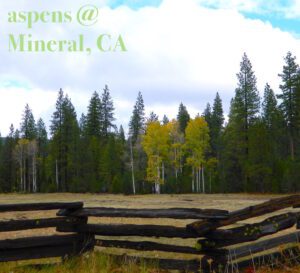
MILL CREEK to MINERAL, CA
HWY 172 LOOP aspensofmineral1000

MODOC NF @ BLUE LAKE
NORTH LAKE, ASPENDELL @ BISHOP

ONION VALLEY @ INDEPENDENCE
PARKER LAKE RD @ JUNE LAKE LOOP
PINE CREEK ROAD, BISHOP

PLUMAS-EUREKA STATE PARK
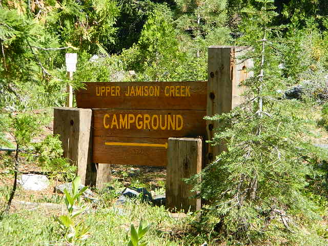
@ UPPER JAMISON CREEK CAMPGROUND

PLUMAS EUREKA

QUAKING ASPEN CAMP, GIANT SEQUOIA

RED’S MEADOW, MAMMOTH
ROCK CREEK ROAD @ US HWY 395

ROSS CAMPGROUND, PLUMAS NF

SPALDING, CA @ EAGLE LAKE

TOM’S PLACE, US 395
TWIN LAKES @ BRIDGEPORT
VIRGINIA LAKES, US 395

WISHON RESERVOIR

aspentips
Aspen Tips @ Eagle Lake California


aspenwall
Green Creek Camping

Autumn Camping in California


amigoaspens
Laurel Lake Road @ 9000′ – Eastern Sierra, California


aspensplit

CA Visitors Guide

California Visitors Guide

California is currently the #1 travel destination in the country. Travel and tourism totals $80 billion annually in California, support jobs for a million Californians and generate $5.3 billion in state and local tax revenues.

Total Escape is the independent travel site for the golden state. We also list some other resources below.

California map

California Guide

locals prefer….
Total Escape, California, Off the Beaten Path

Lake Genevieve

California Back Roads Guide

California by County

California by Region

California by Zip Code

California Towns by Elevation

California Hot Springs Guide

California Ghost Towns

California Lakes List

California Parks & Forests

California Rivers List

California Rural Counties

California Wildflowers Guide


lakes Californiasome other popular web sites for California –
visitcalifornia.com
wikitravel Cali

beach sunset

California Festivals & Events

California Google Maps

California Road Conditions

California Seasons

California Weather 

Our Sequoia

Before and After Photo

CALIF WILDFIRE:
Bear Fire, North Complex Fire @ Berry Creek, CA

Sequoia Swipe

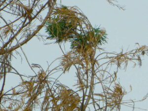
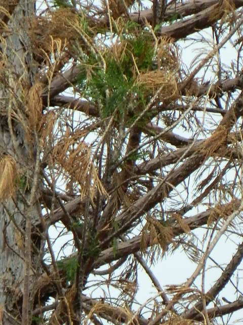
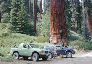
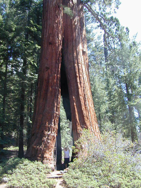
No this is not Sequoia National Park, nor Giant Sequoia National Monument, although certain historic groves did burn this past summer – inside Mountain Home SF.

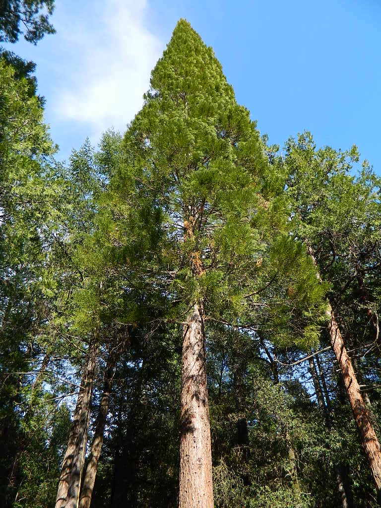
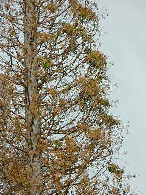
This Sequoia here, is the best tree in our front yard.

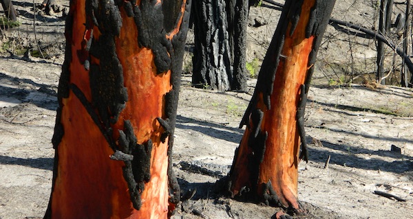
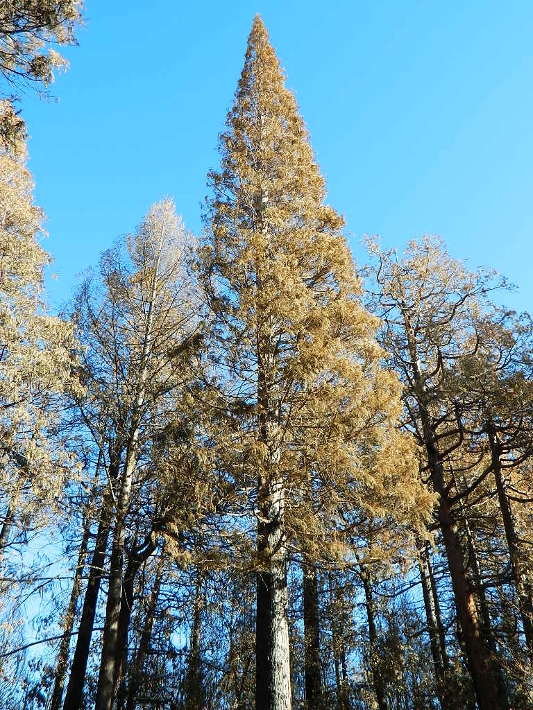
Some say that older Sequoia trees can withstand fire, but not if the fire burns the crown (tippy top).  Since our tree is young (60+ years old), compared to most Sequoia trees, we’re not too sure if ours will survive. But we have been watering it for months and hoping for a good winter rain w/ snow.

UPDATE DEC 2021

Puff of green started appearing late Spring. However minimal, I still got excited enough to photograph it.

Mostly brown, but green appearing May 2021.
Sequoia Strong
Holding out hope for the Sequoia.

Sequoia toasted

We watered this Sequoia all summer (2021) long and now we have a good rain spell in Autumn heading into Winter, so I am hoping our Sequoia – plus the neighbors 2 Sequoias, can make a serious come back.

SEQUOIA PROGRESS

Will keep posting our growth progress, as soon as I see more green – mid 2022.

No one is sure when these Sequoia trees in the Berry Creek region were established, since these pre-date our knowledge and the county records.

June & Curly may have planted these back in 1950; or maybe Mr. Coe or Sorensen around 1960. Could it have been the Maidu tribe (native Americans) who transplanted seeds from south to north? Doubtful.

califrepublic

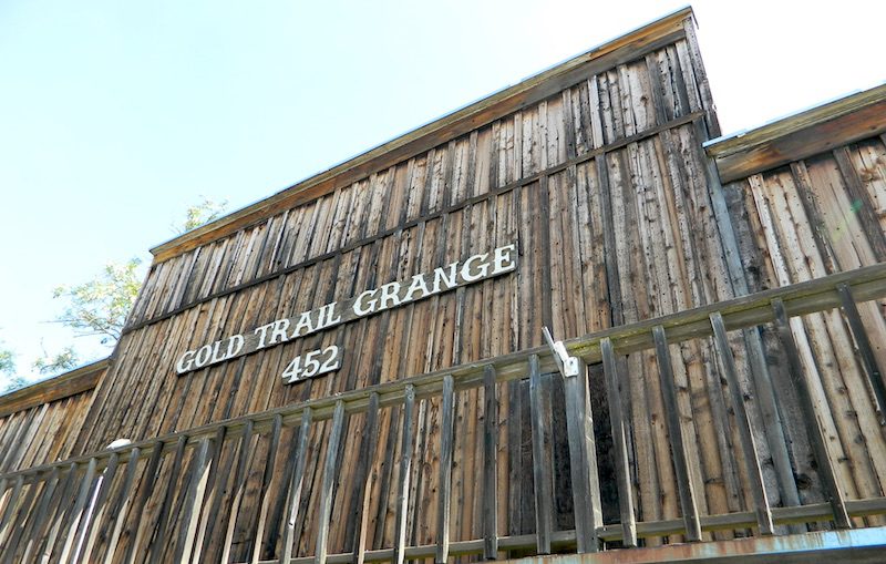
Grange Hall, now California Guilds

gold country grange

Why are most California Granges now called Guild Halls?

Simply, it’s FOOD politics.

Corporate food power versus local food production: organic, GMOs, bees, pesticide drift and a host of other issues. In 2011, all hell broke loose with the historic Grange Halls – newly elected officials, and the national goals versus the local community interests.

The following year California was voting to label GMO foods, a proposition which educated millions of eaters and chemical corporations spent gazillions opposing the bill, but it was only narrowly defeated. The National Grange was standing on the opposite side from the California State Grange on this important food issue. This may be when the chasm began to widen.

nongmo

Hippies, yuppies, left coast thinkers. Fruits, flakes and nuts! Tree huggers, eco-terrorist. Damn liberals. Food and California.

wyandotte

Remember that half of California voters knew about genetically engineered ingredients a decade ago. Many of them made diet decisions based on new information readily available. Maybe they sometimes exercise outdoors, and dig this web site. Others choose to ignore the food topic and ingredients listed. Call it denial. Call it an obesity epidemic.

Although the labeling law did not pass, many companies begin putting NON-GMO labels on the front of the food packages anyway. Health food manufacturers, now major brands, especially food produced inside California.

old building

SLOW FOOD

The local food movements in cities and in rural communities started growing, prior to the year 2000; Grange membership began increasing (for the first time since the 1950s) as young farmers and organic farmers took a new interests in “creating community” and finding a cleaner, greener way to the future of food.

Now we have farmers markets and CSA’s (community supported agriculture programs) all over the nation. Fresh food deliveries on a weekly basis. Awareness has only been accelerating on the food topic – with organic food sales rising steadily over the past few decades.

Raised Garden Bed
Grow Your Own Food
growingreens
Growing Your Greens

more articles & resources –

The State of the Grange

West Coast Grange Wars: A Reborn Farmers’ Movement Takes on Corporate Agriculture

The California State Grange backed 2012’s Proposition 37, which mandated labeling of genetically modified foods….

The National Grange suspended the California State Grange’s charter in September 2012, and revoked it in May 2013

We are anti-pesticide, anti-fracking but we are for food sovereignty. The National Grange is dynamically opposed to all of those. They are pro-GMO, pro-pesticides, pro-big farming as opposed to small and local farms. Politically there is a dynamic difference.

Food Movies: Food Documentaries, GMO Movie, Farm Documentary Films

Southern California Photos

Thousands of places – all local, in California; Millions of possibilities for your road trips.

25 years worth of photographs:
the ever-growing Total Escape image bank is on
flickr

Recent feeble attempts at trying to manage over 50,000 photos from 2+ decades worth of California travels has lead me to flickr.com.

Residing in several locations – first, Southern California, then the Kern County mountains, then over to the Central Coast, San Luis Obispo county and now living in Northern California – traveling all over California to explore. Utah, Baja, Sierra Nevada, Shasta, the Lost Coast, Lakes, Deserts, mountains – all of it. All California back roads & small towns.
Why should a small biz like me need to pay for monthly bandwidth hosting photos, when most of you just wanna look at beautiful vacation photos? (bored at work presumably).

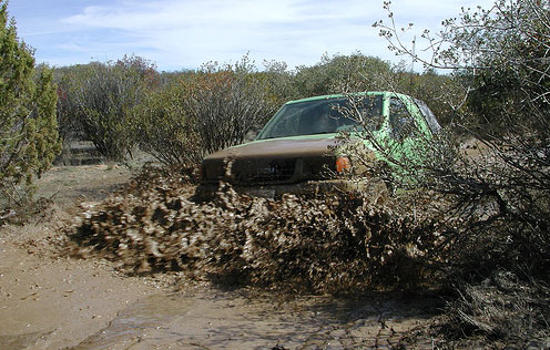
Way back sometime, I decided flickr was an easy enough venue for me to host my best work for you to see, plus tell stories, rave reviews, add recommendations. From mud-whomping to hot springing, petroglyphs, fishing creeks, hiking, camping – DanaMite has a lot of adventures, ready to share & inspire you to get outside this weekend.

While the majority of this image library is not focused on Southern California, it can lead SoCal residents to where they really wanna go – REAL WILDERNESS. California is a big, tall state with forests, mountains and lakes.

CALIF OUTDOOR PHOTOS

califrepublic

#1 Top Viewed Image

Lake Genevieve

California Wildflowers

CA Wildflowers 2010

Figueroa Mountain

Figueroa Mtn

21S94 – Sequoia NF

sequoia groves

Sequoia Groves: Forest Rd# 21S94
Sequoia National Forest

Windy Gap

SEPT 2021: Closed due to the Windy Fire

This impressive backcountry route is inside the newly formed Giant Sequoia National Monument. From the Western Divide Highway this graded route leads from an area North of the Trail of 100 Giants to the back edge of the Tule Indian Reservation. The 20 mile route turns north towards Coy Flat Campground (20 spots @ 5000′) & then meets up with Camp Nelson, California.

The Summit National Recreation Trail cuts right thru this region & there are many dirt roads meandering off of the main route# 21S94.

There are a few hidden Sequoia groves back here, great for day trips & picnic spots:

  • Peyrone Grove (via road# 22S91)
  • South Peyrone Grove (via road# 22S03 & trail #31E41)
  • Red Hill Grove

hiker

pinetree

nearby towns:

Closed Indefinitely

UPDATE SEPT 20, 2021
California National Forests, most have re-opened.
See Sequoia Wildfires & Closures

pinetree

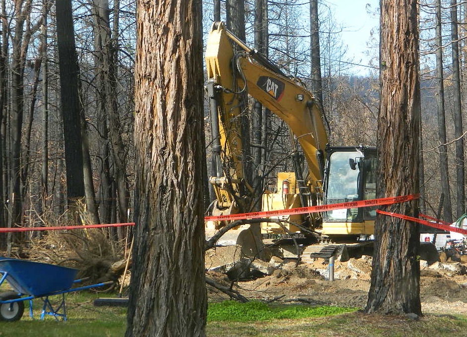
Twenty five years ago, when I began this outdoor web site for California, did I ever imagine ‘times like these’ – where we would be held up inside our homes during summer, as annual wildfires destroyed our vast and beautiful forests. Frightened to breathe the toxic, smokey air outside. Saddened by news of yet another town or historic structure burning to the ground. Checking the destruction daily online, in hopes of more containment, fresh photos or any good report.

Now I fear Total Escape  may become photographic documentation of how beautiful California once was.

burnt forest

wildfire closures

Most California National Forest are currently closed!

Lassen Volcanic National Park is CLOSED due to damages from the Dixie Fire.

In case you missed it: 2020 was the worst year for wildland fires in California history, but 2021 is shaping up to be just as bad. Many forests, roads, trails, campgrounds and parks listed below have been closed to the public for the 2021 season, and possibly longer.

BIG SUR COAST
Julia Pfeiffer Burns SP
Prewitt Ridge
Nacimiento Road
Lucia Restaurant
Tassajara Canyon

SANTA CRUZ MOUNTAINS
Big Basin Redwoods SP
Butano Redwoods SP
Boulder Creek, CA

NORTHERN CALIF
Armstrong Redwoods SP
Austin Creek SRA
Mendocino National Forest
Lake Berryessa
Mad River / Ruth Lake
Forest Glen, CA
Salmon River
Six River National Forest
Snow Mountain Wilderness
Yolla Bolly Wilderness
Lassen National Forest
Lassen Volcanic National Park
Caribou Wilderness
Lake Almanor
Feather River (North Fork)
Susan River (near Caribou)
Trinity Alps Wilderness
Trinity River (W of Weaverville)

SIERRA NEVADA
Alta Sierra
Balch Park

Berry Creek, CA
Bucks Lake, CA
Butte Meadows
Caldor
Consumnes River
Dinkey Creek
Eldorado National Forest
Feather River (Middle Fork)
Huntington Lake, CA
Indian Valley
Greenville, CA
Mammoth Pool Reservoir
Mountain Home Sequoia
Plumas National Forest
Sequoia National Forest
Sierra National Forest
Shaver Lake, CA
Shirley Meadows
Silver Fork
Western Divide Highway
22N82 Forks of the Kern

aftermath
Camp Okizu

camp

Expect that campfire rules will be tighter in the future, overall. Campfires will likely be restricted to ‘only inside developed campgrounds’. Or only allowed during the wet season on the backroads or in the backcountry.

campfire

hazmat
My Front Yard (literally)

*Unfortunately, this is not a complete list of all the closures inside California parks and forests. I am adding more to this list, as more places burn. This page is a work in progress for autumn 2021

58 counties
58 Counties in Calif

Trail of 100 Giants Sequoia Grove

seqAmigos

The Western Divide Highway, at 6000 feet elevation, connects the Kern River Valley w/ granite peaks, dome rock, aspen groves & the Giant Sequoia trees! This is one of the southernmost Sequoia groves in the Sierra Nevada mountains. The easy hike is more of a nature trail, wheel chair accessible & approximately 1 mile long. Large Sequoia trees, picnic grounds, near campground.

SEPT 2021: Closed due to the Windy Fire

On busy weekends and holidays the rangers charge a “day use” parking fee, for those wishing to park in the paved parking lots. Avoid this fee by finding additional parking along the highway. Only a few good free parking spots along this busy 3 mile stretch of highway, and don’t forget to park all the way off the pavement.

SOUTHERN SIERRA: Great destination for camping families & sightseers traveling through the Southern Sierra Nevada mountains.

Western Divide Campgrounds

The USDA National Forest Campground across the road from the Trail of One Hundred Giants is called Redwood Meadow Campground. There is also a separate parking lot for the picnic grounds w/ a similar name.

Also nearby is Long Meadow, Long Meadow Group Camp, Peppermint Campground, Holey Meadow Group Camp and past Ponderosa. Quaking Aspen Campground and Quaking Aspen has a NFS Cabin Rental too.

Down near Camp Nelson, CA is the Coy Flat Campground.

Giant Sequoia National Monument has numerous dirt back roads for free, primitive, car camping. You’ll need a good topo map to find the best ones. Some roads may be muddy, overgrown or extremely rocky, depending on recent weather. Know you vehicles limitations. There is no tow truck service available way back here in the boonies.

Trail of 100 Giants Photos

All Redwood Groves in California


nearby towns –

Sequoia National Forest Map
Golden Trout Wilderness Trail Map

Hidden Groves near Ponderosa CA

Los Coyotes

los coyotes SD

Los Coyotes Camping
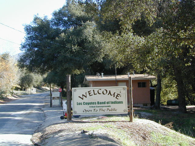
Los Coyotes Reservation Campground

North County San Diego
Camping SD

Way out there, on your way to the Borrego desert, past Warner Springs somewhere is this little gem of a location. Near the southern slopes of Palomar Mountain, on the edge of Cleveland National Forest.

Los Coyotes Band of Indians Tribal Campground

open to the public

Great rural location, in-route to many destinations in Southern Cal. Temecula wine country, Warner Springs, Culp Valley, Anza Borrego Desert State Park, Borrego Springs.

Campground is a popular spot with locals, so note that some weekends can get rowdy. Ask about a more secluded camp site option if needed. There is plenty of primitive land out here.

Oak trees and boulder hills, dirt roads, near Hot Springs Mountain. North San Diego County.

Los Coyotes Band of Cahuilla & Cupeño Indians

Warner Springs, CA 92086
RECREATIONAL# 760-782-0712
ADMIN# 760-782-0711

payherebooth

snowx
Hot Springs Mountain SD

More Time, Offline

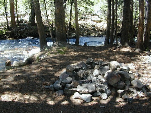
boulder fire ring

sunflower3There once was a time when we connected more with nature. Before we closed ourselves off, behind the doors and windows, behind the computer screens, before the internet became part of daily life.

Overweight and obesity is now epidemic in America (as if you didn’t notice). Fast food feasting and soda pop, GMO-gut disorders – and yet we’re still frustrated or disappointed with life; Addicted to television, processed food, copious amounts of sugar, daily coffee, butterflysmoking, prescription drugs, and what else.
Wi-fi streaming, video games, always indoors, online, enjoying air conditioned cubes. Inactive physically, emotionally vacant, bored with our choices and always on social media.

Stop and think. Look what has happened to us.
Is this the life you envisioned?

blue light special

Campfire Community

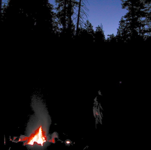
Cooking over a camp fire and real conversation are just a few examples of what we have lost in our modern world of technology, fantasy and face-time. campfireFresh air, wild flowers, alpine lakes, star filled skies and total silence – all still exist in certain areas, but you must know where to look. Birds and bees, wildlife is disappearing at extinction levels. Pollution, powerful corporations and politics.

Stop and look. See what has happened to earth.
Is this the world you envisioned?

Highland Wildflowers


Gone! Away, split, out of town. Off work, out of school, on vacation. Outdoors, always. Far, far away.
Unplugged, out of range, vacant lands, big trees, open skies, clear views. California is the land of dreams. Opportunity, fantasy, education, agriculture, terrific terrain and epic scenery. Campfires, waterfalls and mountain meadows are waiting for you.

Taking time off of work – or your typical daily routine – is often rewarding physically as well as mentally. Imagine a week away in a gorgeous location, with minimal to do. Really relax, zone out, chill. Gaze at the water, nap in a hammock, find wildflowers, deer bones, or bear fur on a tree. Cook over the campfire, stargaze every night.

Running to a general store for ice will be your biggest task of the week.hiker

Wilderness boundary, abundant dirt roads and freedom; cell phone calls dropped. Beyond the city limits. Well past the county line.

Wilderness Lakes

Roads do lead out of the matrix, if you desire to follow them. Concentrate on a new reality – and disconnect long enough to commune with nature. Find the free time to really relax and re-evaluate life. Explore other options, consider real life in the bigger picture. Hike, bike, walk, camp, birdwatch. Be outdoors, often!

Vbeardrive
Beat the Summer Heat and head to upper elevation Cool Forests
Curly Lupine
Curly Lupine @ Mill Creek, CA

Cheap Road Trips

Total Escape is your California planner. We’ve been doing this “region” for more than 30 years, always focusing on the back roads. Discover hidden secrets, meadows and unknown waterfalls. Find free campsites, canyons, rivers, creeks and new places to explore.

Find something OUTDOORS, this weekend –

canoe

All posts alphabetical
California A to Z

avoid crowds

back roads

lake list

out of the box

play hooky

recreate

camp fish  4x4

Most popular pages on Total Escape –

Granite Creek
Granite Creek Campground NFS

nicemeadows

32S13 – Los Padres NF

Sierra Madre Road
Sierra Madre Ridge, San Rafael Wilderness

Los Padres National Forest
Forest Road #32S13

off of Cuyama Valley Hwy 166

32S13 Sierra Madre Road

East of Santa Maria, CA – along Highway 166 (on the south side of the pavement) are several dirt roads that lead up to the main ridge road that access this part of Los Padres National Forest.

  • backpacking
  • camping
  • dirt bike trails
  • dirt roads
  • hiking
  • horse camping
  • mountain biking
  • off road routes
  • petroglyhs
  • wildflowers

4WD not required, but high clearance is helpful. Open almost all year. Rainy season gate closures (at hwy) during winter months.

4x4

dirtbikes

cruiseronridge

Sierra Madre Mountains

Miranda Pine Mountain (elev. 4120′)
Timber Peak (elev. 4754′)
Peak Mountain (elev. 5843′)
McPherson Peak (elev. 5749′)
Samon Peak (elev. 6221′)

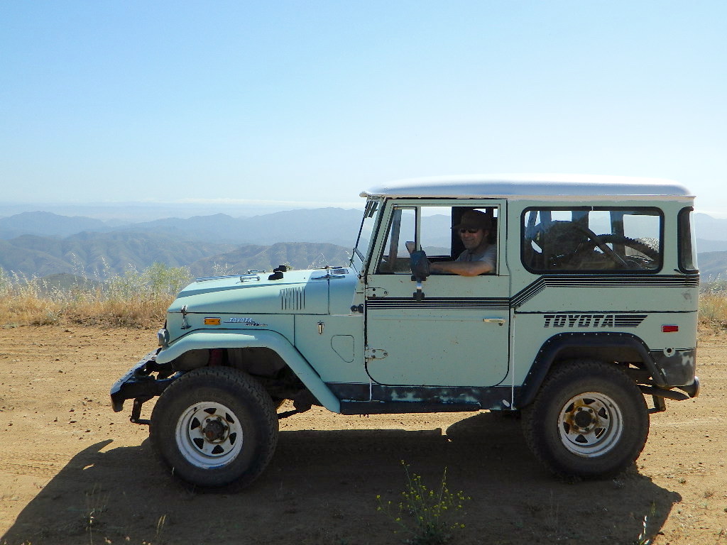
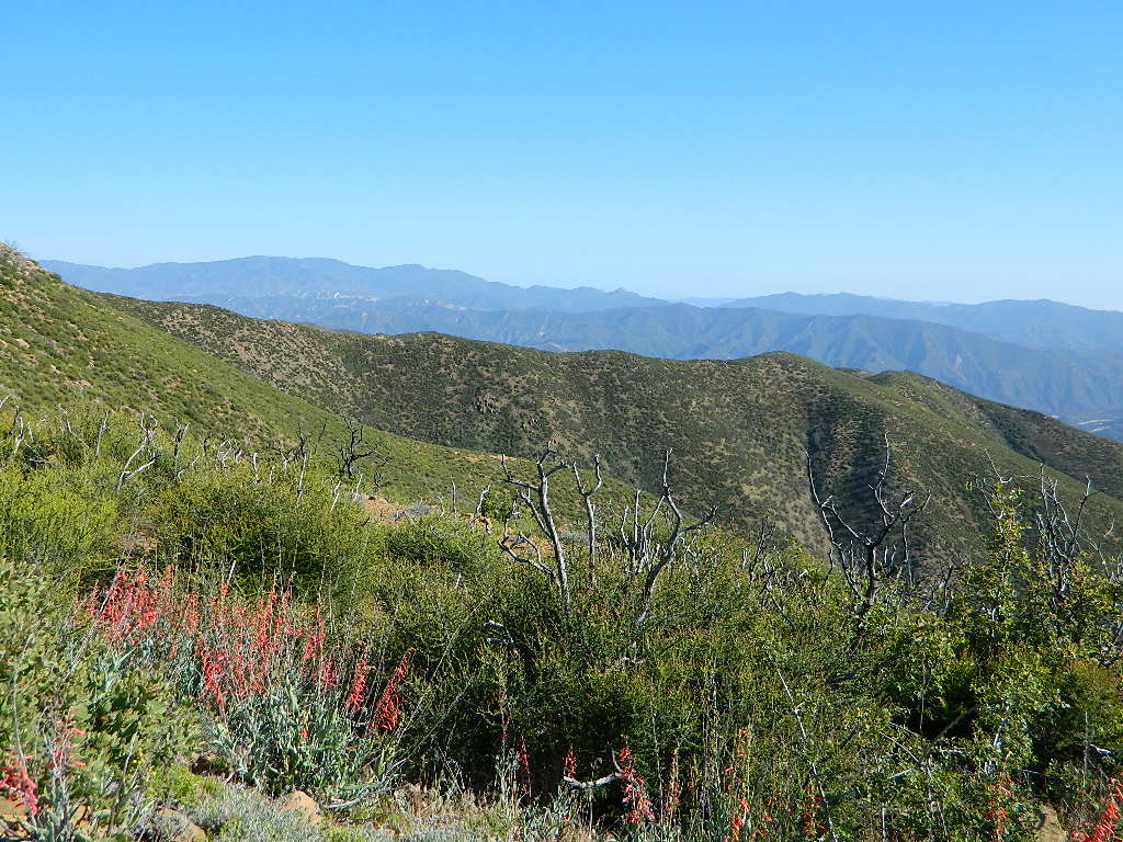
Sierra Madre Ridge is forest road #32S13, which parallels Hwy 166 (Cuyama River) for over 50 miles on the Sierra Madre Ridge at approx. 5000 feet elevation.

NOTE: A good stretch of this dirt road is closed to vehicle traffic. Although it connects to Santa Barbara Canyon near Ventucopa, you cannot drive it. Only hike or mountain bike!

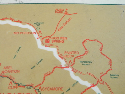
Hog Pen Sign

NFS Gate locked at the HOG PEN trailhead, and from there you can bike or walk all the way the other end at Santa Barbara Canyon near Cuayama Fire Lookout @ Dick Smith Wilderness

Still Standing

camp

Small campgrounds in the region:

off Highway 166
Miranda Pine Campground (on 32S13 @ 11N03)
Bates Canyon Campground (via Cottonwood Canyon Rd)
also known as White Oaks Campground
Aliso Canyon Campground (via Aliso Canyon Road)
not accessible by vehicle, from dirt road 32S13; only by trail

in the backcountry
Painted Rock Camp (hike-in)
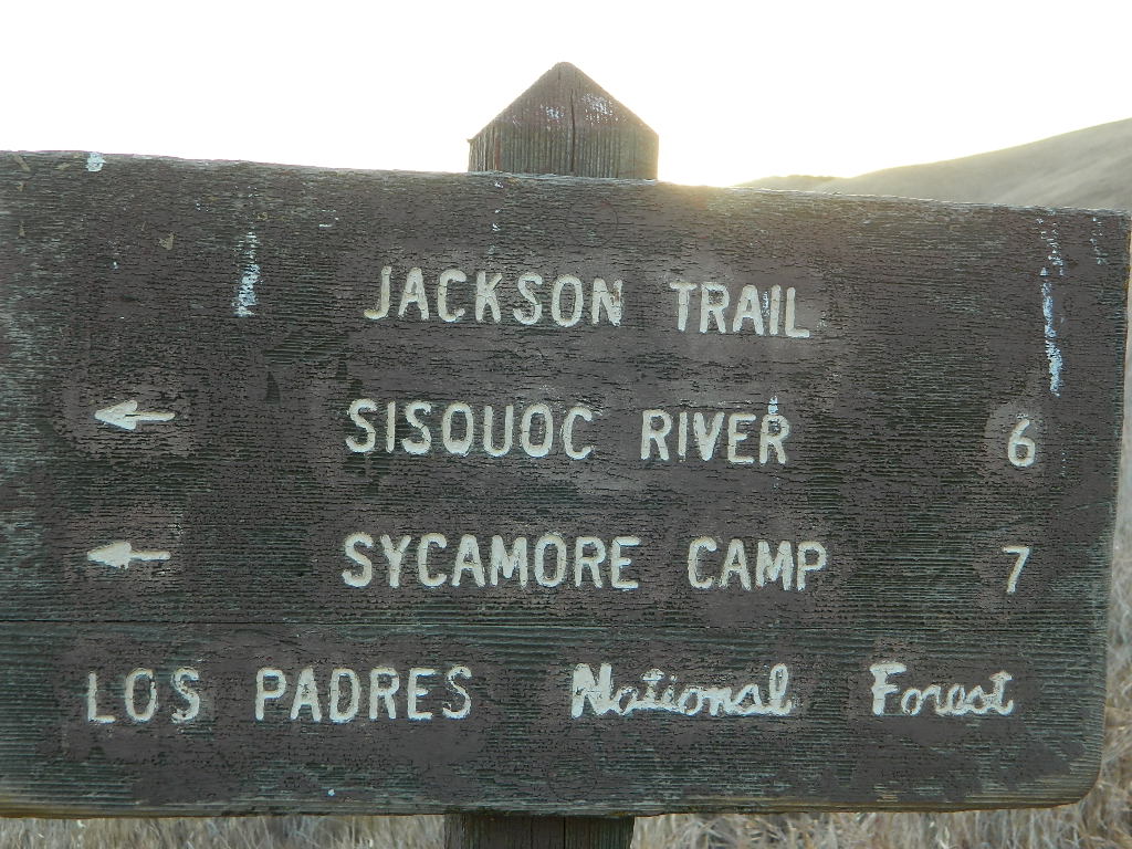
Sycamore Camp (hike-in)

high clearance, off road accessible
Horseshoe Springs (11N04)
Lazy Campground (11N04)
Wagon Flat Campground (11N03)
Barrel Springs (10N06)
Colson Canyon (11N04)

wildflower

coastridges

Highway 166 Cuyama River Valley
EAST San Luis Obispo County

Wildflowers Bloom: APRIL-MAY

mayflowers

redflora

San Rafael Wilderness

Sisquoc River
Native Rock Art
Sierra Madre Mountains

Rock Art Sign

MAPS of the Area:

hiker

Los Padres USFS MAP
Los Padres Topo Atlas
Los Padres West NatGeo Map
Dick Smith Wilderness Map

sisquocriver6nearby destinations: 

Cuyama Peak Fire Lookout
New Cuyama, CA

Rock Front Ranch 4×4
Santa Maria, CA
Ventucopa, CA