
Mammoth Mountain Lakes / Eastern Sierra Fishing
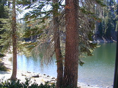
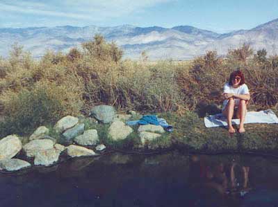
Sure splendor for fishing, most of the time. Lake fishing, stream fishing, river fishing. Fishing the Eastern Sierra area, near Mammoth Lakes, California can be very rewarding. You may have read about places like these in the sports magazines, seen them on a television program, or imagined them in a fishing vacation day dream. Summers can be crowded, so pick a lake and camp carefully. Weather can change quickly, so come prepared. Autumn fishing w/ the golden aspens and less crowds is preferred.

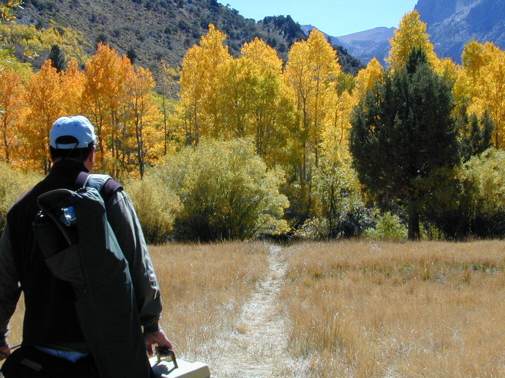
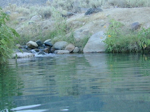
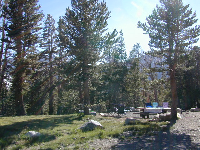
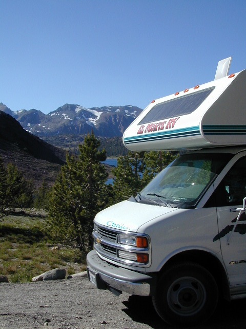
Most of these Eastern Sierra lakes listed below are accessible by car, others by foot. Look at the photos, pick a destination and get a good map of the area, so you can explore everything around too.
Mammoth Lakes Area
Mammoth Area Lakes – Mammoth City
- Lake Barrett
- Convict Lake
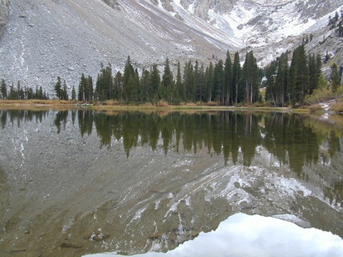
- Crystal Lake
- Lake George
- Horseshoe Lake
- Laurel Lakes
- Lake Mary

- Sotcher Lake
- Stark Weather Lake
- TJ Lake
- Twin Lakes
Mammoth Area Creeks –
- Boundary Creek
- Cold Water Creek
- Convict Creek
- Crater Creek
- Deadman Creek
- Glass Creek
- Laurel Creek
- Reds Creek
- Rock Creek
Mammoth Area Rivers –
- Owens River (high desert valley)
- San Joaquin River (high country)


June Lake Loop
Eastern Sierra, US 395 @ Hwy 158
June Area Lakes –
- Agnew Lake
- Fern Lake
- Gull Lake
- Grant Lake
- June Lake
- Parker Lake
- Silver Lake
- Walker Lake
June Loop Creeks –
- Alger Creek
- Fern Creek
- Rush Creek
- Reverse Creek
- Yost Creek
Mammoth Maps

Ansel Adams Wilderness Maps
Devils Postpile Map
Mammoth High Country Map
Mono Divide Trail Map
Mammoth Mono Map NatGeo
other Eastern Sierra maps –
Bishop Pass Trail Maps
Hoover Wilderness Trail Map
John Muir Wilderness Maps
Mono Lake Map
Palisades Trail Maps


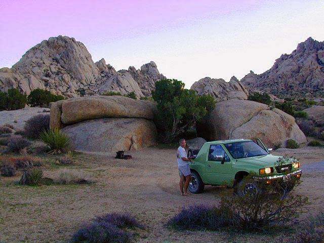
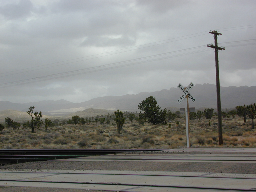
 Some roads are suitable for passenger cars, but many are NOT. Dirt slides, erosion gullies, wash outs and rocks are common on these roads, so drive slow and pay attention. Have a spotter get out and take a look at the road conditions. Have a stroll, in the dark w/ the flashlights.
 WILDFLOWERS – joshua tree, yucca, barrel cactus


