California Information Centers w/ Helpful Links, Tips, Weather & Road Advice
- All California: Vistors Bureaus & Chambers of Commerce
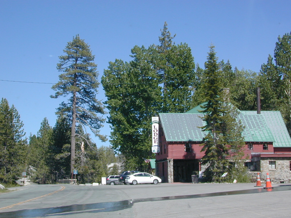
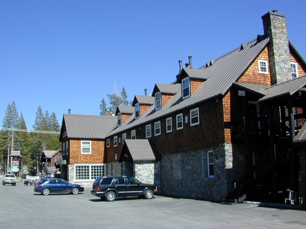
- California Lodging Information w/ Hostels
- Back Roads Basics
- Parks/Recreation Information
- Mountain Snow & Ski Conditions
- State Routes & Highways
- Road Conditions in California
- Weather Conditions for California
- Sierra Avalanche Center

SIERRA HWYS / Sierra Passes:
Annual Highway Closures in the snowy Sierra Nevada Mountains

California Road Conditions

Cal-Trans Road Conditions
800-427-7623
All CHP Offices
Web cams on California freeways
Nevada Road Conditions
702-793-1313
Oregon Road Conditions
503-588-2941
L.A. Road Closures
Department of Public Works Los Angeles
North State Road Conditions & Web Cams
Siskiyou County California
Weather Bureau
530-221-5613
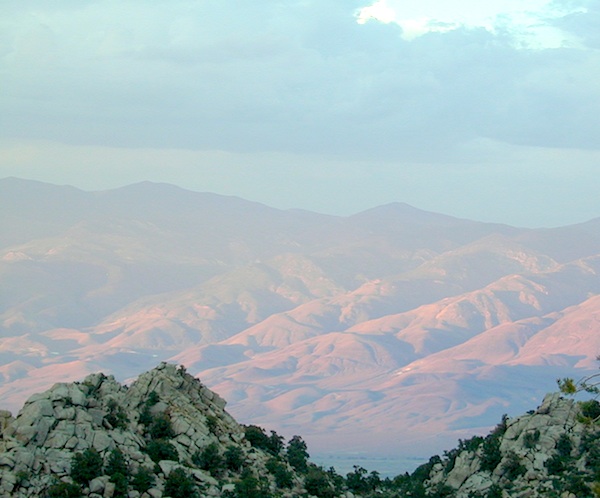
California Mountain Roads –
Snow Chain Requirements
R1 – Chains are required on all vehicles except passenger vehicles and light-duty trucks under 6,000 pounds gross weight and equipped with snow tires on at least two drive wheels. Chains must be carried by vehicles using snow tires. All vehicles towing trailers must have chains on one drive axle. Trailers with brakes must have chains on at least one axle.
R2 – Chains or traction devices are required on all vehicles except four-wheel/all-wheel drive vehicles with snow-tread tires on all four wheels. NOTE: four-wheel/all-wheel drive vehicles must carry traction devices in chain control areas.
R3 – Chains required. Chains or traction devices are required on all vehicles, no exceptions.
The most common chain controls are R-1 and R-2. Highways will often be closed before an R-3 control is imposed, but winter weather conditions can change any road condition, hour by hour.
California Information Centers

California Office Of Tourism
1121 L St., Suite 103, Sacramento, CA 95814
California Welcome Centers
various locations, usually near freeway & factory outlet malls
California Bureau of Land Management
BLM
California Department of Fish and Game
916-445-0411
California National Forests ![]()
USFS
California State Parks ![]()
SP, SHP, SRA
Eastern Sierra Interagency Center
US Highway 395 @ Death Valley turn off
760-876-6200
2 miles south of Lone Pine CA
@ junction of Hwy 395 & SR 136
Kelso Depot Visitors Center
Mojave National Preserve
760 252-6108
Kelbaker Road, Kelso, CA
Old Station Visitor Information Center
13435 Brian’s Way
Highway 44/89, Old Station, CA 96071
530-335-7517
Hat Creek, East Lassen NF

California State Transportation
CA Trains – Amtrak, MetroLink, Coaster, BART, Skunk
California Statewide Bus Lines – Amtrak bus, Greyhound & FlixBus

California off road links
California 4×4 Groups
Cal 4-Wheel

California Travel Tours
California by Bicycle
California 4×4 Tours
California by Helicopter
California by Horseback
California by Llama
Lake Tahoe Tours
Palm Springs Tram
Vegas Outdoor Tours


California Maps: Parks, Wilderness, OHV trails

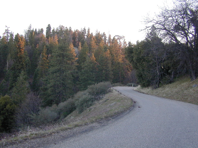


 Snow is always a factor in mid to high altitude towns with road conditions being unpredictable with each mountain range and each micro-climate. Winter months range from late October to May, so be warned. Above 3000′ elevation usually gets some snow. Serious snow above 5000′. Some High Sierra Passesdon’t open until JULY (Yosemite Hwy 120 & Sonora Hwy 108). Carry tire chains or have 4×4 to travel safely on snowy roads. Guard rails are seldom around every curve.