Category Archives: Trains & Railroads

Carrizo Gorge Goat Trestle

,Carizzo Gorge

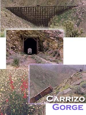
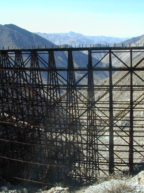
Carrizo Gorge Goat Trestle – via Mortero Wash. Near the south end of Anza Borrego State Park is the infamous ‘goat trestle’, one of the largest wooden rail road trestles in the US.
giant trestle desert

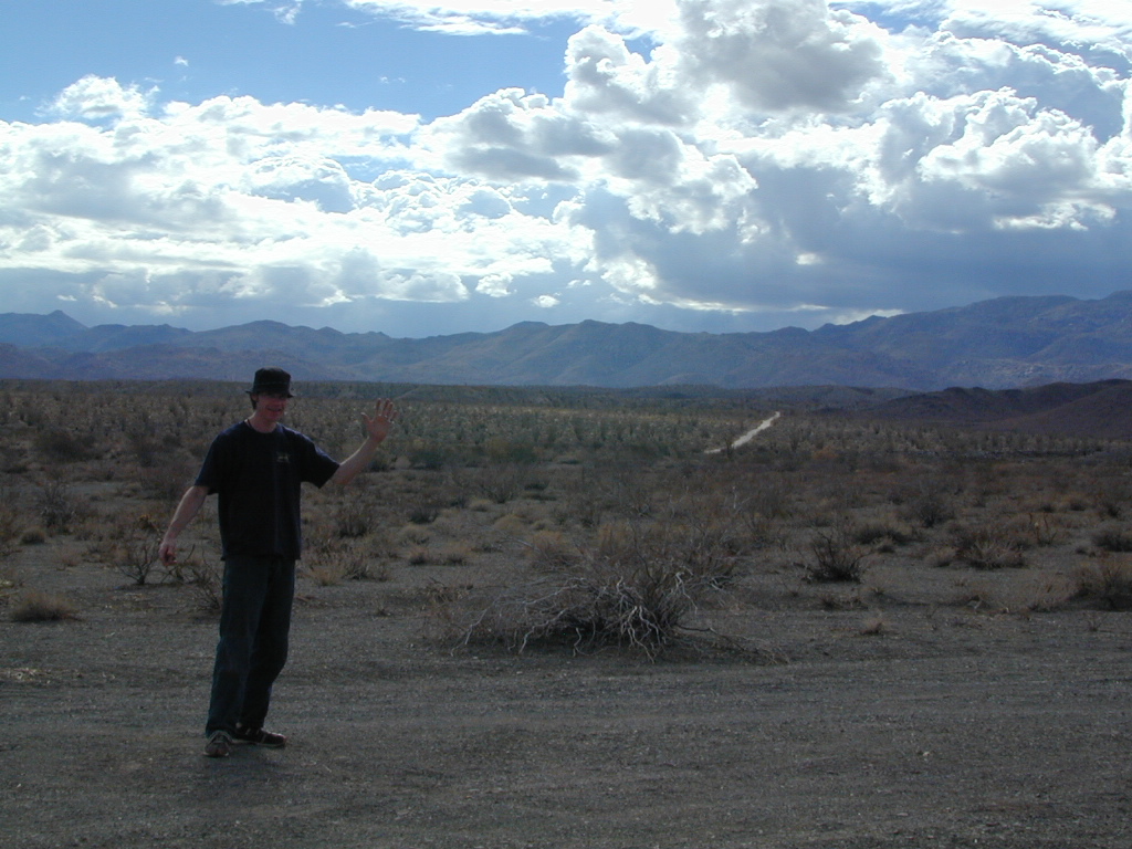
This hike can be reached by driving N on San Diego County Road S2 (from I-8) into Anza Borrego Desert State Park. Near the park boundary keep your eyes peeled for Mortero Canyon Rd (signed) on the left side. This is a sandy, one-lane, dirt road, accessible by passenger car, that leads out to the train tracks & then past to the Mortero Big Boulder campsites. Park at rail road tracks near water tank & start hike from here.

NOTE: Do not be alarmed if you happen to see NUDE hikers coming from the opposite end of this railway, where a nudist resort is located along Interstate 8, called De Anza Springs.

hike bike primitive camp sites

Carrizo Gorge Trestle
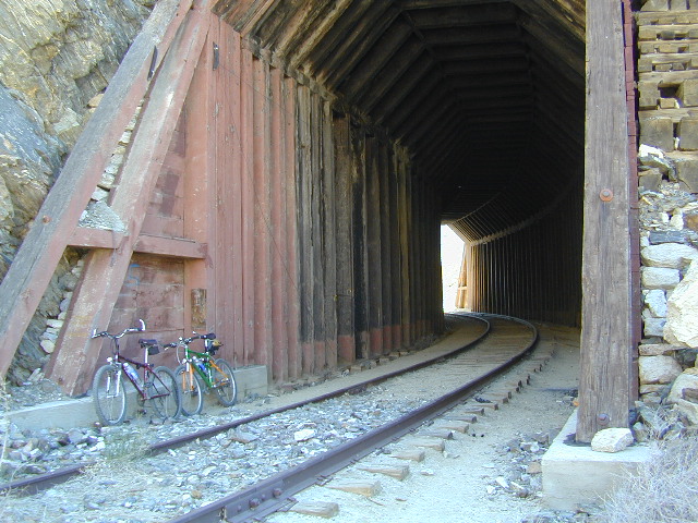
Railroad Tunnels, near Anza Borrego Desert

rail road history

San Diego & Arizona Eastern Railroad ­ SD&A/SD&AE

Ground was broken on September 7, 1907 by San Diego’s Mayor, John Forward and the construction of the 140 mile route was completed on November 15, 1919. The first through train was the called the “Golden Spike Limited”, named after the $286 golden spike, which John D Speckels drove into the ground near tunnel #8.

  • The Goat Canyon Trestle was built in 1932 to re-route tracks due to a landslide.
  • Passenger Cars Ran until 1951.
  • The route through Carriso Gorge was closed temporarily by Tropical Storm Kathleen in September of 1976.
  • And was reopened 1981, and then closed again by recurring storms.
  • Kyle Railways ran freight cars until mid 1984.

train

The Carriso Gorge section has fallen into disrepair with two trestles being burned and the collapse of two tunnels as the result of fires. The trestles have been rebuilt and one of the tunnels has been repaired – however,  this scenic section of track is used mostly by hikers and mountain bikers.

Goat Trestle Anza Borrego Desert

Other Facts: Derailed cars are from 1984 and were filled with bags of cement. Laborers were brought in to unload the cement but the cars were left. The Goat Canyon Trestle is 185″ tall and 600″ long. During its use it was the tallest wooden structure in daily use. Hence, this trestle was designated a Historic Civil Engineering Landmark in 1986. Carrizo means “reed grass” in Spanish. Total cost of construction was $18 million.

In 1979 the SD & AE west of Plaster City was sold to the Metropolitan Transit Development Board for $18.1 million. SD&A was said to stand for “Slow, Dirty and Aggravating” generally because of the high temperatures, smoke and open windowed trains cars.
South end of Anza Borrego State Park
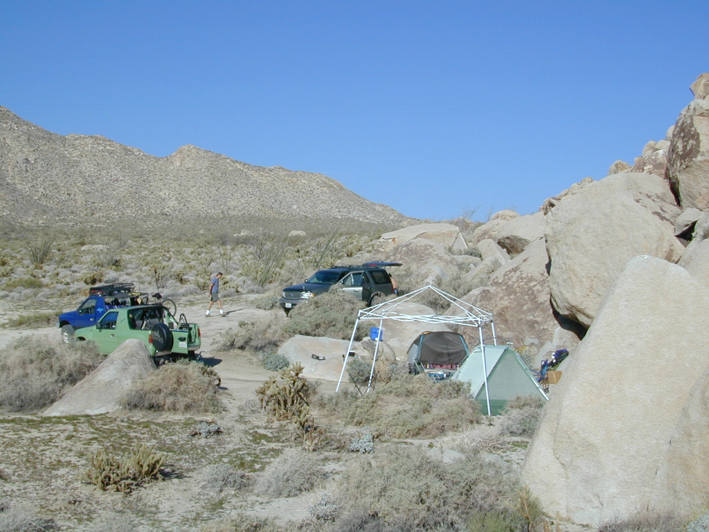
Dispersed camping
Dispersed camping (for free) in the Boulders

califrepublic

see more
RailRoads & Historic Train Towns in California

Gold Rush Days

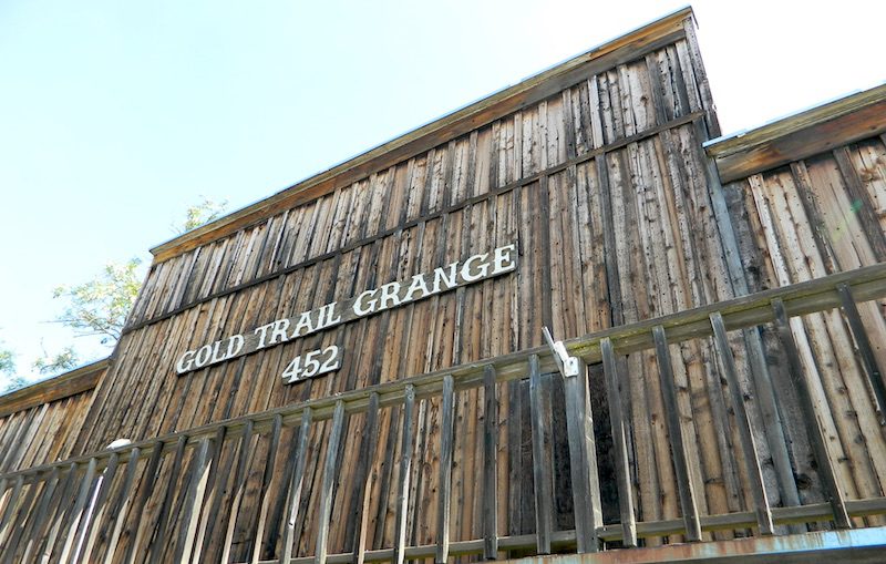
gold country grange

Gold Rush Days
California Gold Country

Numerous locations hold historic themed street fairs, parades and festivals in the foothills of the Sierra Nevada.

Gold Country Events

this list is only a partial list, and more will be added soon

Amador County Fair

Arnold Independence Day Parade

Calaveras County Fair

Calaveras Grape Stomp

Coloma Gold Rush Live

Coloma Lotus Celebration

Gold Country Fair

Grass Valley Cornish Christmas

Mark Twain Wild West Fest

Mariposa County Fair

Murphys Homecoming & Duck Races

Nevada City Constitution Day Parade

Old Auburn Country Christmas

Wagon Train Hangtown Days

NOTE: The Gold Rush Days in Old Town Sacramento is now called “Waterfront Days Old Sacramento

califrepublic

Gold Country Historic Parks

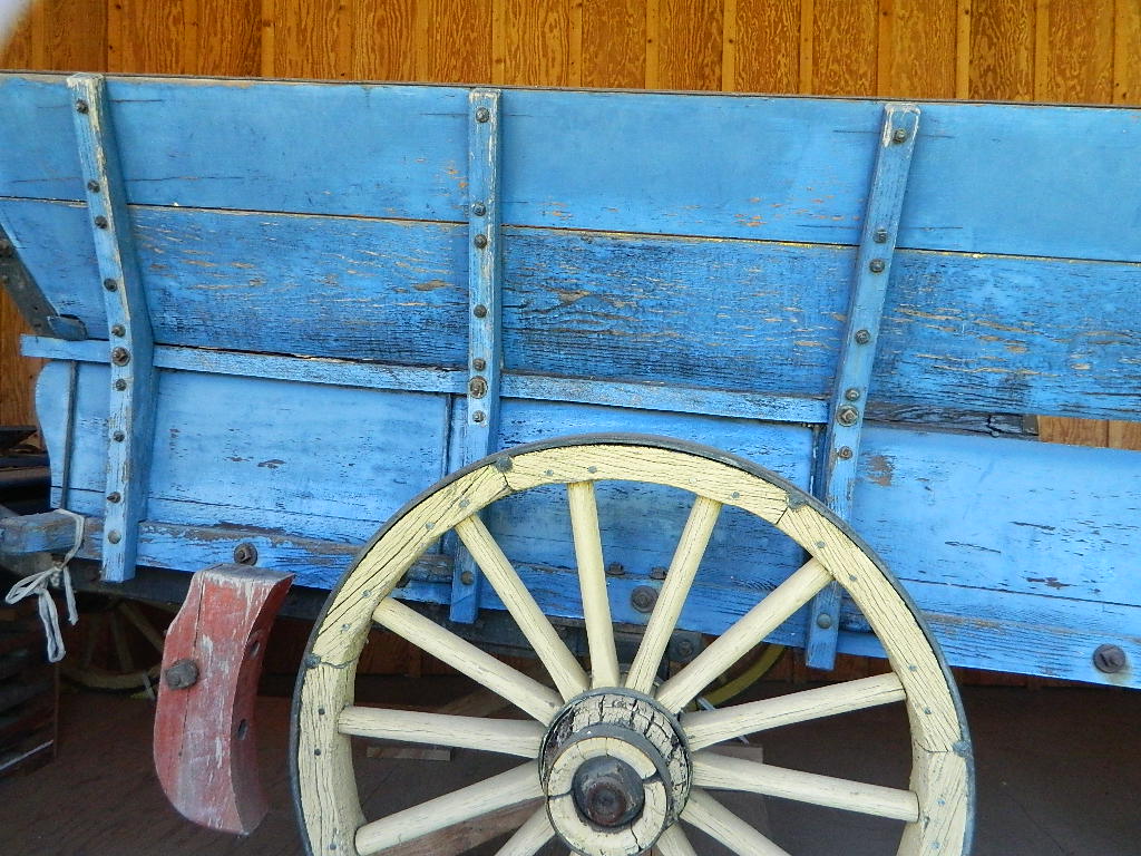
bluewagon

Gold Country Cities & Towns

58 counties
58 Counties in Calif

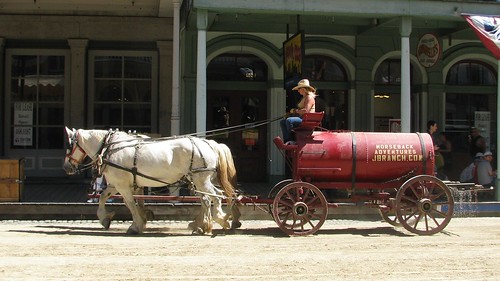
JB Ranch Water Wagon 1

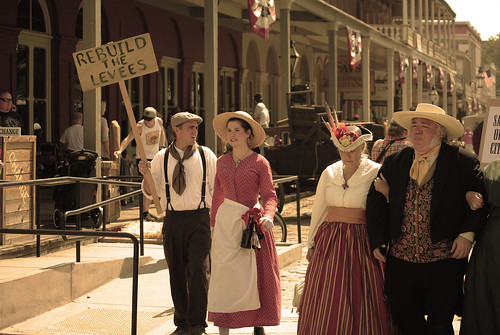
Gold Rush Daze 6

Gold Country Rivers

listed alphabetically

Gold Country Forests

listed from north to south

Plumas National Forest
Tahoe National Forest
Eldorado National Forest
Stanislaus National Forest
Calaveras Big Trees State Park
Sierra National Forest

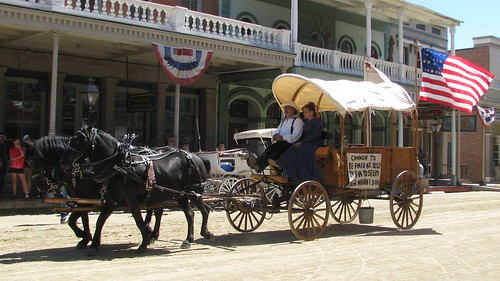
Covered Wagon with 2 Horses 1

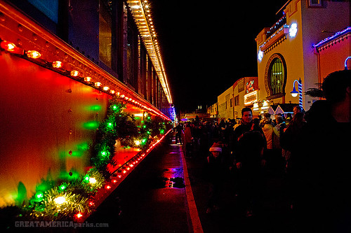
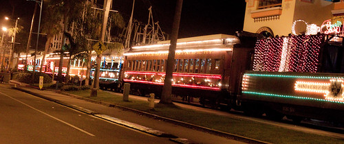
Holiday Lights Train

Santa Cruz Holiday Lights Train

Holiday Lights Train Ride

Santa Cruz Holiday Train

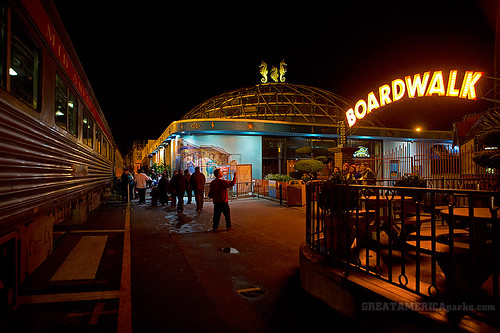
Departs from the Santa Cruz Beach Boardwalk

Vintage excursion cars, adorned with thousands of colorful lights, roll through the streets of Santa Cruz as passengers lend their voices to holiday carols, sip hot spiced cider and listen to musical entertainment while Santa visits the little ones, or the young at heart! Continue the merriment with your choice of arcade games, mini-golf or laser tag at Santa’s Kingdom at the Santa Cruz Beach Boardwalk. Bring the whole family for festive fun.

Annual event: December
multiple days

Santa Cruz, CA

roaringcamp.com


Santa Cruz Holiday Lights Train

train at the Boardwalk

California Reference

shasta back roads

California Information Centers w/ Helpful Links, Tips, Weather & Road Advice


SIERRA HWYS / Sierra Passes:
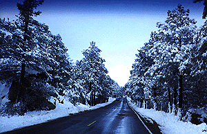
Annual Highway Closures in the snowy Sierra Nevada Mountains

snow

California Road Conditions

 caltrans
Cal-Trans Road Conditions
800-427-7623
All CHP Offices
Web cams on California freeways

Nevada Road Conditions
702-793-1313

Oregon Road Conditions
503-588-2941

California Travel Timelines

California Back Roads Info

L.A. Road Closures
Department of Public Works Los Angeles

North State Road Conditions & Web Cams
Siskiyou County California

Weather Bureau
530-221-5613

California Mountain Roads –
Snow Chain Requirements

R1 – Chains are required on all vehicles except passenger vehicles and light-duty trucks under 6,000 pounds gross weight and equipped with snow tires on at least two drive wheels. Chains must be carried by vehicles using snow tires. All vehicles towing trailers must have chains on one drive axle. Trailers with brakes must have chains on at least one axle.

R2 – Chains or traction devices are required on all vehicles except four-wheel/all-wheel drive vehicles with snow-tread tires on all four wheels. NOTE: four-wheel/all-wheel drive vehicles must carry traction devices in chain control areas.

R3 – Chains required. Chains or traction devices are required on all vehicles, no exceptions.

The most common chain controls are R-1 and R-2. Highways will often be closed before an R-3 control is imposed, but winter weather conditions can change any road condition, hour by hour.

California Information Centers

check

California Office Of Tourism
1121 L St., Suite 103, Sacramento, CA 95814

California Welcome Centers
various locations, usually near freeway & factory outlet malls

California Bureau of Land Management
BLM

California Department of Fish and Game
916-445-0411

California National Forests NFS
USFS

CaliforniaNational Parks NPS
NPS

California State Parks calsp
SP, SHP, SRA

Eastern Sierra Interagency Center 
US Highway 395 @ Death Valley turn off
760-876-6200
2 miles south of Lone Pine CA
@ junction of Hwy 395 & SR 136

Kelso Depot Visitors Center
Mojave National Preserve
760 252-6108
Kelbaker Road, Kelso, CA

Old Station Visitor Information Center
13435 Brian’s Way
Highway 44/89, Old Station, CA 96071
530-335-7517
Hat Creek, East Lassen NF

California State Transportation

CA Trains – Amtrak, MetroLink, Coaster, BART, Skunk

California Statewide Bus Lines – Amtrak bus, Greyhound & FlixBus

train

California off road links

California 4×4 Groups
Cal 4-Wheel

Total Escape Back Roads

dirtbikes

California Travel Tours

California by Bicycle
California 4×4 Tours
California by Helicopter
California by Horseback
California by Llama
Lake Tahoe Tours
Palm Springs Tram
Vegas Outdoor Tours

hiker

California Maps: Parks, Wilderness, OHV trails

longwayup
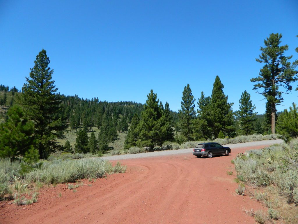
Breckenridge Mountain, eastern, paved access from Breckenridge Road #28S06, Sequoia National Forest, Kern County California
gorgeview
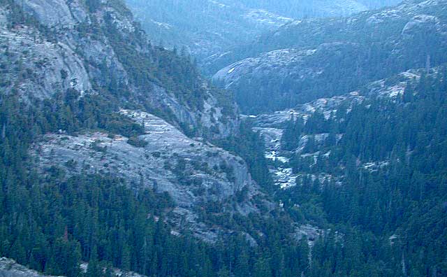
Sierra National Forest Road #11S12 – Big Creek, granite gorge view. Dirt road connecting Wishon Reservoir to the Kings River, on the Western side of the Sierra Nevada
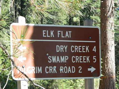
Road 64 South Warner
Exploring Modoc Road 64 (aka South Warner Rd) located back behind Blue Lake Campground. Excellent horse camping opportunities next to South Warner Wilderness.

California Roads

observatorio
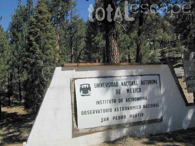
Observatory @ San Pedro Martir, Baja California Norte – Pine Forest Camping Laguna Hanson, Parque Nacional Constitution de 1857; located off Hwy 3 east of Ensenada
signage
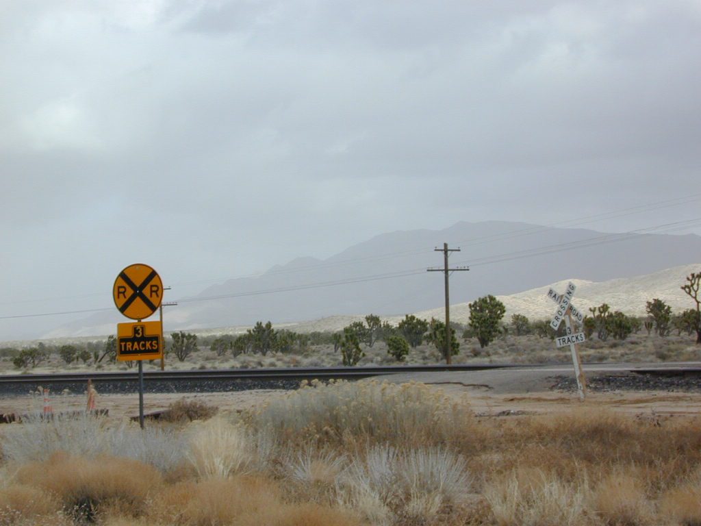
Kelbaker Road, Mojave Desert – paved connector and main route between Interstate 15 and Interstate 40. Mojave Desert National Preserve
newarmypass
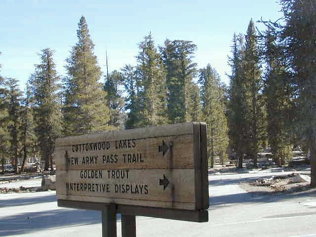
Backpacking, Equestrian and Hiking Trailheads to the High Country Eastern Sierra. Cottonwood Lakes, Inyo National Forest @ US Highway 395

Santa Cruz Redwoods

hippytownway
BSA Camp Cutter

Santa Cruz Mountains & Santa Cruz Redwood Parks

overnight in the redwoods

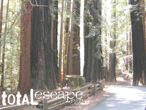
Camping out in the Santa Cruz mountains can be a magical experience. It is here where some city dweller first get a glimpse of the coastal giant trees. Towering above in several Redwood Parks, the hiking & camping are endless. Backpacking, day hiking, mountain biking and horseback riding are all popular activities in this region.

NOTE: There is no off-roading, 4×4, OHV trails in these coastal mountains, so it will be more peaceful. Peace and quiet, remember that?

redwoods Santa Cruz

Since this mountain range is in between the Santa Cruz coastline and THE CITY, San Francisco, and situated right next to the mega-city “Bay Area”, you can always expect a few tourists about and lots of locals out enjoying their backyard (at all times of the year).

Make campground or cabin reservations as far in advance as possible. Summers are the busiest months!

State Park hikes tent camp RV

Tent Cabins
Tent Cabins: Big Basin Cabins can be arranged at Big Basin State Park. Campgrounds can be found at all State Parks and some county parks. Private vacation homes are found nearby; a few small towns on Hwy 9 offer hotel accommodations. On the coastal side of this ‘mountain’ is the small community of Pescadero w/ Butano SP.

Small towns nearby offer lodging & dining:

Big Basin Redwoods Camping