This list below is published by Total Escape, so you can easily plan your weekends away and your outdoor vacations, your fishing trips, your stargazing nights, your valuable three day weekends
Camping Lakes – Campground Lakes
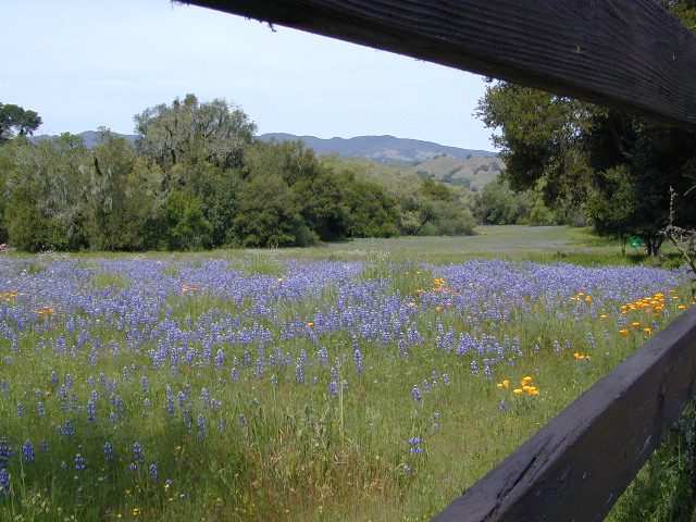
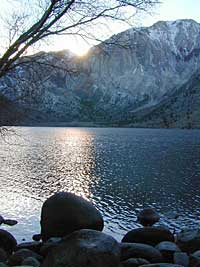
Lake Eastern Sierra California
There is not enough room on this web site to list every single alpine lake in the majestic Eastern Sierra range, since there are hundreds, but we highlight a few of the hike-in accessible ones & the more popular camping lakes below.
June Lake Loop is a paved, scenic drive highway that has multiple lakes with cabin rentals, camping, fishing, boat rentals. One of the best places to spend autumn looking for fall colors among the aspens.
DanaMite also knows a picture is worth 1000 words, so just click links for photos & enjoy!!!
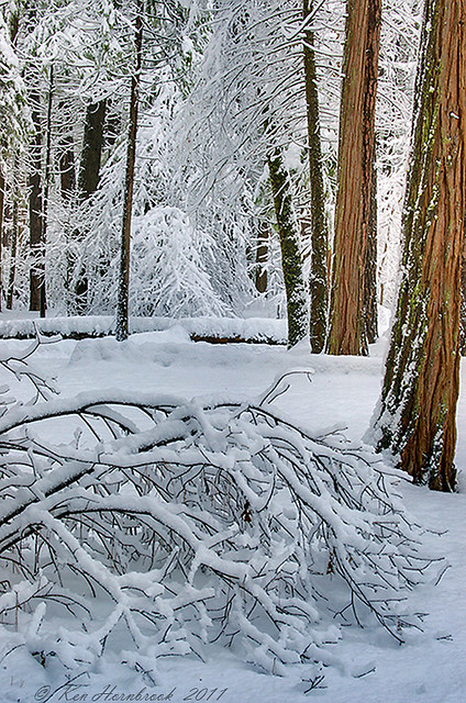
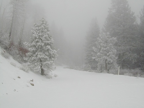
It was another one of those long and tiring days in the office and all I wanted to do was find myself on a open highway heading out of town. So right after the time clock struck five, I raced home, picked up my bags which were packed with my clothing and gear the night before, stopped at my girlfriends home to rescue her from the mundane existence of the apartment, we found ourselves finally on our way into snow country of the Sierra-Nevadas.
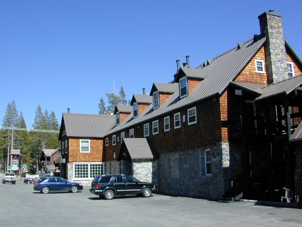
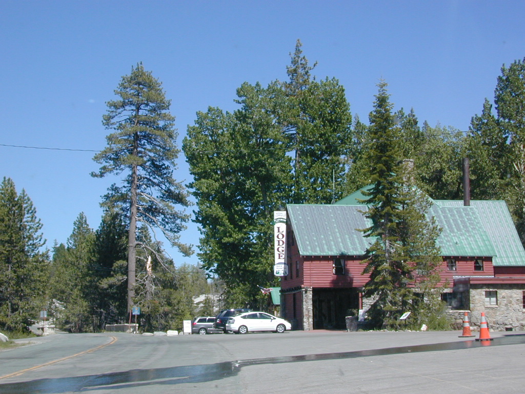
Our destination was a small resort community called Lakeshore CA, situated on the shore of Lake Huntington between the Ansel Adams and John Muir Wildernesses in the Sierra National Forest. The drive up the mountain at dark was breath taking and clear, a night in March with a full moon out and a fresh blanket of snow gracing our presence all around us as we drove our truck through the winding mountain road. The temperature must of been in the teens that night but that didn’t faze us as we looked out of our car windows at the spectacular sight Mother Nature had in store for us. Soft snow pillows hung on tree limbs everywhere, glistening moonlight bounced off the gentle lake as we drove along side and huge snow drifts towered on the road shoulder as we traveled to our resort lodge destination.
At first we thought it would require more map insight in finding the lodge under such wintery conditions. But to our surprise, the road we had been traveling on, Highway 168, just dead ended at our weekend getaway. The check into the lodge was fast and simple, soon we found ourselves settling into a decent rustic cabin with drifts of snow twelve feet high all around. Thanks to the constant plowing of roads, everything was accessible within reason due to El Ninos erratic behavior.
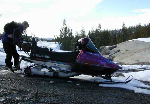
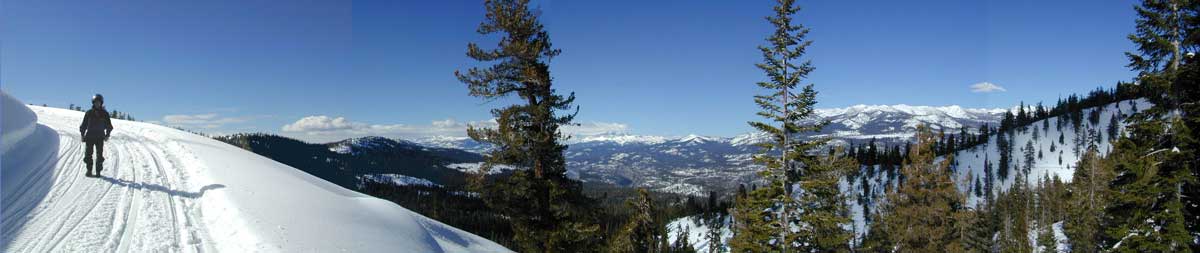
The next day we became captivated by the raw beauty of waking in a wintery wonderland, hardly hours away from the hustle and bustle of the big cities of Los Angeles and San Francisco. After a bit of exploring around the frozen lake, we took off on a rented snowmobile for the back country where we became amazed by gorgeous mountain lookouts.
Untouched wilderness full of snow-capped mountains, lost tranquil valleys, and frozen pools and streams locked in a time zone of raw beauty.
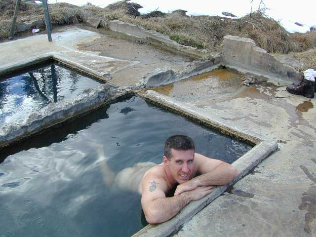
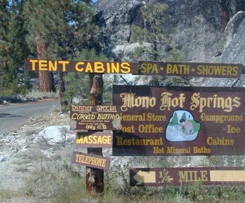
I wanted to stay gazing for hours but our destination was deep in the wilderness valley about twenty miles away. There after passing through woodsy trails and snowy spectaculars we arrived at our place of relaxation, the Mono Hot Springs. This out of the way spot has been frequented over the years by naturalists like ourselves who have pulled off the trail to dip into the eighty degree plus waters that caress the body with mineral rich fluids.
Never have I been so relaxed in an environment with no one around for miles, white snow all around with a trickling stream close by for awe and amazement. If it wasn’t for the deadline for the snowmobile return, we could of stayed at this place til sundown. The ride home on the machine, my body seemed to be thanking my mind for bringing it to such an inspiring place. My mood was calm and invigorated by the mountain waters & scenery.
epic views over snowy Sierra
Back at the lodge after freshening up, my girlfriend and I discussed how lucky we were to be able to experience activities like these that really don’t require throngs of urbanites to complicate and mettle up our space. That night we enjoyed and excellent meal inside the lodge dining room which didn’t weight us down. Then over to the saloon we went to indulge in spirits, a small wedding party was happening were participates graced our presence with drunken humor. Even though they looked like the stereo typical yuppies, this didn’t bother us as we knew that they had come to the same spot to be enveloped by the sheer beauty and splendor of Lakeshore, California.
Spring 1998, by Chris DiNenna
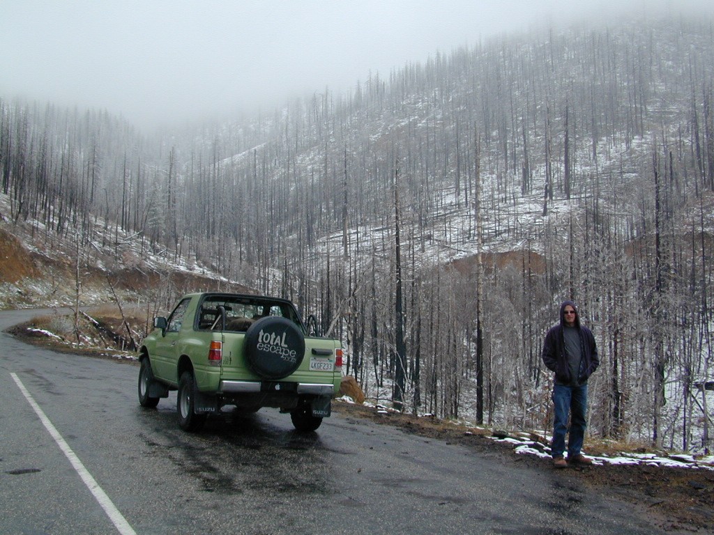
Large portions of the Sierra Nevada were greatly affected by recent wildland fires. This area was burnt by forest fire 2020 Creek Fire
From Mammoth Pool to Edison Lake, huge, old growth forests ignited in a major wildfire along the upper San Joaquin River, inside Sierra National Forest. Military helicopters rescued stranded campers by the hundreds, as seen on the nightly news.
BEWARE: this land may not look anything like the photos
2018 (Mendo Complex Wildfire) Ranch Fire
burnt most of this area
Located in the coastal mountain range north of Clear Lake and west of Stonyford, California; in between I-5 and US 101
On the southern half of the Mendocino National Forest.
60,076 acres
East Snow Mountain Peak – 7056′ elevation
West Snow Mountain Peak – 7038′ elevation
Lake Pillsbury – 1818′ elevation Mendocino National Forest
Eel River
Elk Creek
Cold Creek
Anderson Creek
Corbin Creek
Sheet Iron State Game Refuge
backpacking
camping
hang gliding
horseback trails
off roading
paragliding
snowboarding
snow shoeing
Wilderness permits and campfire permits are required. Check local rangers for up to date weather conditions, road closures, parking and trail conditions.
Dirt Roads M10 and M3 are the major routes around this mountain area. Route M10 is also known as 43A on some older maps. Several 4×4 trails skirt the wilderness boundary near the tallest peaks, so you may see some OHV use in this region when hiking.
ranger stations
EAST SIDE
National Forest Office
Grindstone Ranger District
Willows, CA
530-934-3316
Annual Snow Festival is usually scheduled for February – March
Celebrating 40 Years!
One of the largest winter mountain festivals on the West Coast
Multi-day event. Parade, snow sculpture contest, dog pull, polar bear swim, youth hockey and snow golfing. Hawaiian luau, clam bake, hot wings, rib-fest and a pancake breakfast.
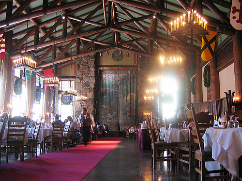
Celebrated annually since 1927, the Bracebridge Dinner transforms The Ahwahnee Dining Room into a Old English-era hall boasting Christmas cheer, beautiful music and a gourmet seven-course meal. The inspiration for this yuletide ceremony was Washington Irving’s Sketch Book that described Squire Bracebridge and English Christmas traditions of that period.
The Bracebridge Dinner is an elegant and artistic four-hour pageant of classic carols, Renaissance rituals and entertainment of the Middle Ages. More than 100 players create the roles of the Squire and his family, their servants, the Lord of Misrule, minstrels and other performers. The Ahwahnee Dining Room serves as the Great Hall and stage for the festivities and is decked with magnificent wreaths, an elaborate squire’s table, large banners and traditional Yuletide decorations.
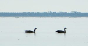
20+ years running, the Snow Goose Festival’s mission is to increase public awareness, understanding, appreciation and conservation of the diverse wildlife and unique habitats of the northern Sacramento Valley.
Workshops and field trips; advanced reservations online
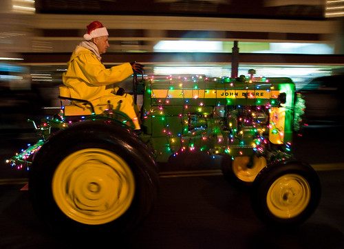
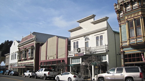
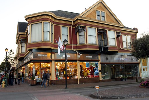
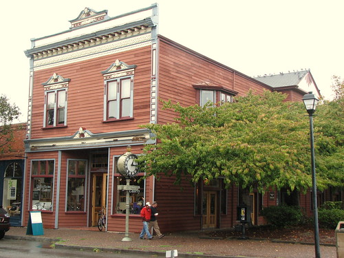
Local farmers and ranchers parade fancifully decorated tractors and tractor-drawn wagons depicting holiday scenes down the Victorian Village’s historic Main Street. Sparkling country Christmas celebrations include the Tallest Living Tree Lighting, shopping and dining downtown. Romantic Christmas destination on the Northern California Redwood Coast!
Sawdust Winter Fantasy Art Festival
in Laguna Canyon
The Orange County beach haven known as Laguna Beach has long been known for their surf shops, gift shops and great art galleries.
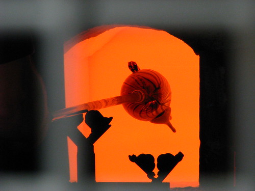
Laguna Canyon Saw Dust festival grounds will be transformed into a winter wonderland where artists create, display and sell original creations over the course of five weekends. The Winter Fantasy is offers the most unique holiday shopping in all of Southern California. Art media includes jewelry, clothing, fused and blown glass, ceramics, woodwork, forged metals, painting, photography, sculpture, clothing and textiles.
Experience unique artwork from hundreds of artists, live holiday entertainment, outdoor cafes, art classes and demonstrations, petting zoo, plus Santa! With amazing art gifts, thousands of holiday decorations and picture-perfect moments.
Annual event; multiple weekends; December
Sawdust Art Festival
935 Laguna Canyon Road Laguna Beach, CA
949-494-3030
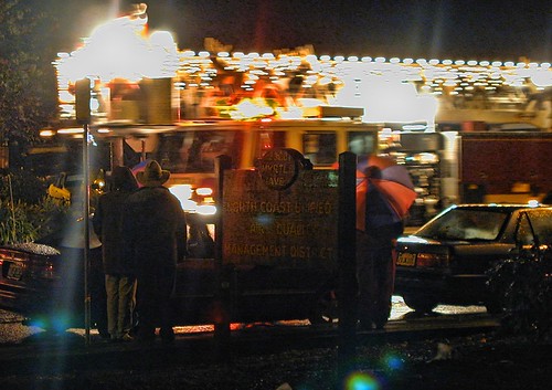
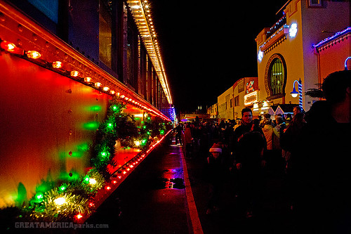
BIG RIGS: The 18-wheelers stretching as long as 60 feet, include some with special parade additions that might be tacked on: bandstand platforms, dancing reindeer, flying fish, you name it. Join in this Eureka tradition, and you’ll never think of Jingle Bells in quite the same way again. The parade starts at 6 pm at Redwood Acres and goes to about 8:30 pm.
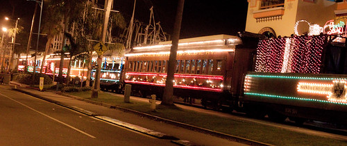
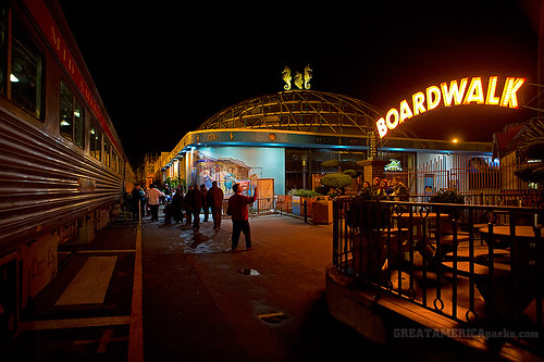
Vintage excursion cars, adorned with thousands of colorful lights, roll through the streets of Santa Cruz as passengers lend their voices to holiday carols, sip hot spiced cider and listen to musical entertainment while Santa visits the little ones, or the young at heart! Continue the merriment with your choice of arcade games, mini-golf or laser tag at Santa’s Kingdom at the Santa Cruz Beach Boardwalk. Bring the whole family for festive fun.
Where the traditions and lifestyles of the vaqueros blend with traditions and lifestyles of cowboys who worked there way west from Texas, Arizona and Nevada. Live music, concerts, great food, wine and beer.
There are many gorgeous rivers in California that are perfect for camping and fishing, but none are located in Southern California. None! Yep, you read that right. If you think about it, the golden state is about half desert! The majority of our natural water in our state is coming from the north – so take this as a warning: you might need to drive a few hours to find your ideal river camp.
The easy-to-access waterways are found mostly along highways in the Sierra Nevada – or way up in NorCal. Deep granite gorges carved out by glaciers, surrounded by forested peaks is only half the appeal. High elevation lakes, waterfalls, big trees, abundant wildlife, and the alpine villages are all part of the Sierra Nevada experience. Raft, kayak, fly fish, hike, bike or just camp out next to a big, rushing, flowing river. Our selection of California maps will get you narrowed down to a specific region, so you can find that perfect river campground, or explore and discover the back roads – for the most seclusion.
KERN RIVER: The Kern River is one of the most popular of all the Sierra rivers due to its proximity to SoCal. Hurried, stressed-out, Angelinos (LA) can be at this destination in under 3 hours – which makes it a very busy place most months.
So, let it be told, that summer is not the best time to enjoy the Kern. If you do plan a summer outting, make sure you head for the Upper Kern (10+ mi N of Kernville & Lake Isabella) or the North Fork of the Kern (out in Monache Meadows) where 4×4 is often needed.
The Lower Kern River has only 2 developed campgrounds: Hobo (closed for damage 2019) andSandy Flat (open all year). Numerous primitive camp spots are available along Old Kern Canyon Rd, which parallels the Hwy 178 on the south side. None of which are located at the rivers edges. Remington Hot Springs is a popular spot for soaking. Fishing trails, mountain biking trails and hiking trails, all over. Fire danger is great in this area, so pay extra close attention to signs and fire restrictions.
Kern River above Lake Isabella and Kernville is a better choice for camping availability.
Everybody loves Yosemite! This is the most popular park in the whole state; maybe the whole nation.
The majority of campers want to stay “right on the river” when they visit Yosemite NP, but that is just plain old impossible, since reservations go fast and there is only so much room for everyone in this enclosed, narrow, precious valley.
This particular park has some major floods (1997 & 2005) that wiped out bridges, road ways; all the old wooden cabins (at Yosemite Lodge) are gone and only half of the campgrounds are still available. Yosemite has had 11 winter floods since 1916 that have caused substantial damage to property. That number is expected to increase, as winter precipitation is getting less predictable.
Reservations are taken for camping and cabins – far in advance; like one year. No joke!
3 Yosemite Campgrounds are located next to the Merced River (inside spectacular Yosemite Valley)
Way up in the Yosemite high country, which is only open a few months outta the year, the beautiful Tuolumne Meadows Campground is located next to lush meadows and the scenic Tuolumne River. All Yosemite campsites must be reserved well in advance, so visit links above – if you are serious about a Yosemite camping trip anytime soon.
MOKELUMNE RIVER: Way up the road, deep in the western Sierra, Gold Country. Small NFS campgrounds, right on the river; Access is long, narrow paved, switch-back road, not suitable for RVs or trailers.
STANISLAUS RIVER: The Sonora Pass, the fishing is very decent way back in this granite gorge. Highway 108 is only open a few months outta the year, due to deep snow & rock slides – so time is of the essence. Summer time is prime vacation weather up here. Several campgrounds are located right on the river, or on the major feeder streams. Or you can opt for secluded primitive camping on the back roads. Find Sonora camping in Stanislaus National Forest.
YUBA RIVER: The biggest play time river in the northern Gold Country, this runs along Hwy 49 near Downieville and also has a major South Fork for the best swimming holes and primitive camping in this region. Tubing, rafting, kayaking, fishing, camping, gold panning, you name it, Yuba has it. Look for more on the South Yuba Recreation Map, or the USDA issued Tahoe National Forest Map
FEATHER RIVER: Top fishing river in the Lassen to Oroville area. Chester and Lake Almanor in the upper reaches. High Bridge Campground is nice paved-camp-site camping; a forested spot where you can fish 2 rivers on the same day. A Plumas NF or Lassen NF map would be quite helpful for this region. Lower down the mountain, lower Feather Rivers which include all 4 forks which feed Lake Oroville – West Fork (Paradise, CA), North Fork, Middle Fork Feather, (Berry Creek, CA) and the South Fork (Lumpkin). Lots of waterways and creeks worth exploring in between Chico and the mountain town of Quincy.
KINGS RIVER: This one particular river is the longest in the Sierra Nevada mountain range, pulling snow melt from the upper reaches of the High Country and Mount Whitney. The river area just to the West of the National Park, over to Pine Flat Reservoir, is all prime for outdoor recreation. Several river rafting companies work this stretch of river.
JULY 2021 State Park CLOSED due to the wildfire, Tamarack Fire.
California State Park Sierra Hot Spring Camping Resort open all year
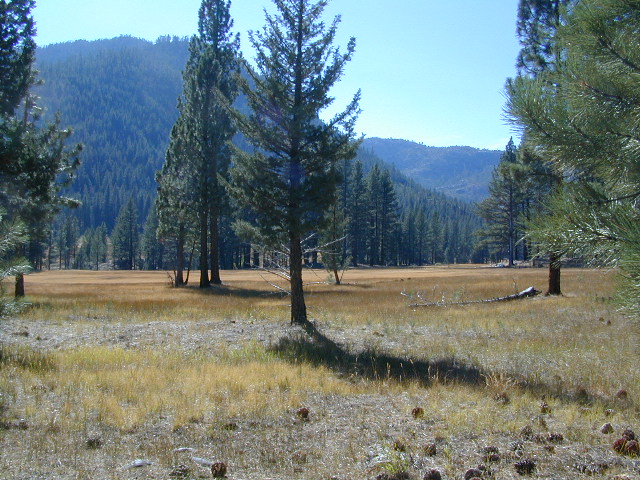
South of Lake Tahoe, hidden in a forest meadow near the small town of Markleeville, sits this super scenic, year-round camping resort in the Sierra Nevada mountains. Popular place for senior travelers, RV campers, families, snow skiers, and tourists.
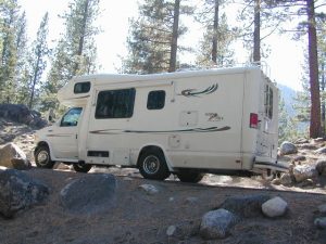
No lodging available, no cabins. Only Campground Camping – Reservations are recommended. This is a popular destination for the Eastern Sierra Tahoe region. May thru September are peak season. During mid-winter a portion of the campsites are closed and the remainder may be on a first come, first serve basis. State Park is located 4 miles west of Markleeville, at the end of Hot Springs Road.
camping
fishing
hiking
hot springs
cross country skiing
stargazing
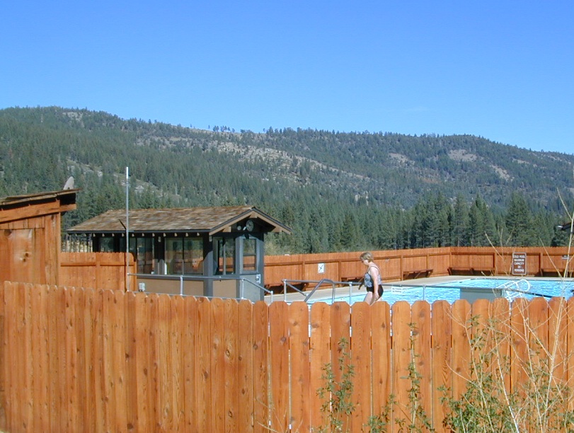
Piped water, flush toilets, showers, this is luxury camping by State Park standards. Hiking, fishing, stargazing. Quite an ideal spot, especially if you visit during a slow time. Surrounded by mountains that top 10,000′ elevation, expect to see some snow in the winter months.
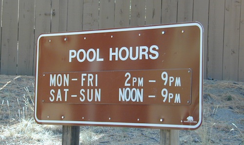
The hot pool resort is open to the public for day soaking w/ a fee. Wheelchair accessible areas. The pool hours tend to fluctuate with the seasons, so be prepared for anything. Even a snow storm!
Grover Hot Spring Campground
• Elevation: 5800′
• Number of Sites: 75
• Vehicle Access: RV 27′ max
• Campsites Reservation: Yes
• Camp Fee: Yes
• Length of Stay: 10 Days
• Season: Open all year
• Trailheads: Carson River
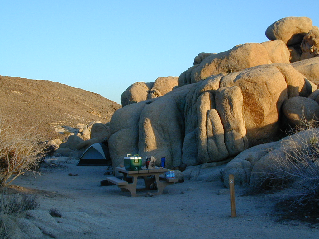
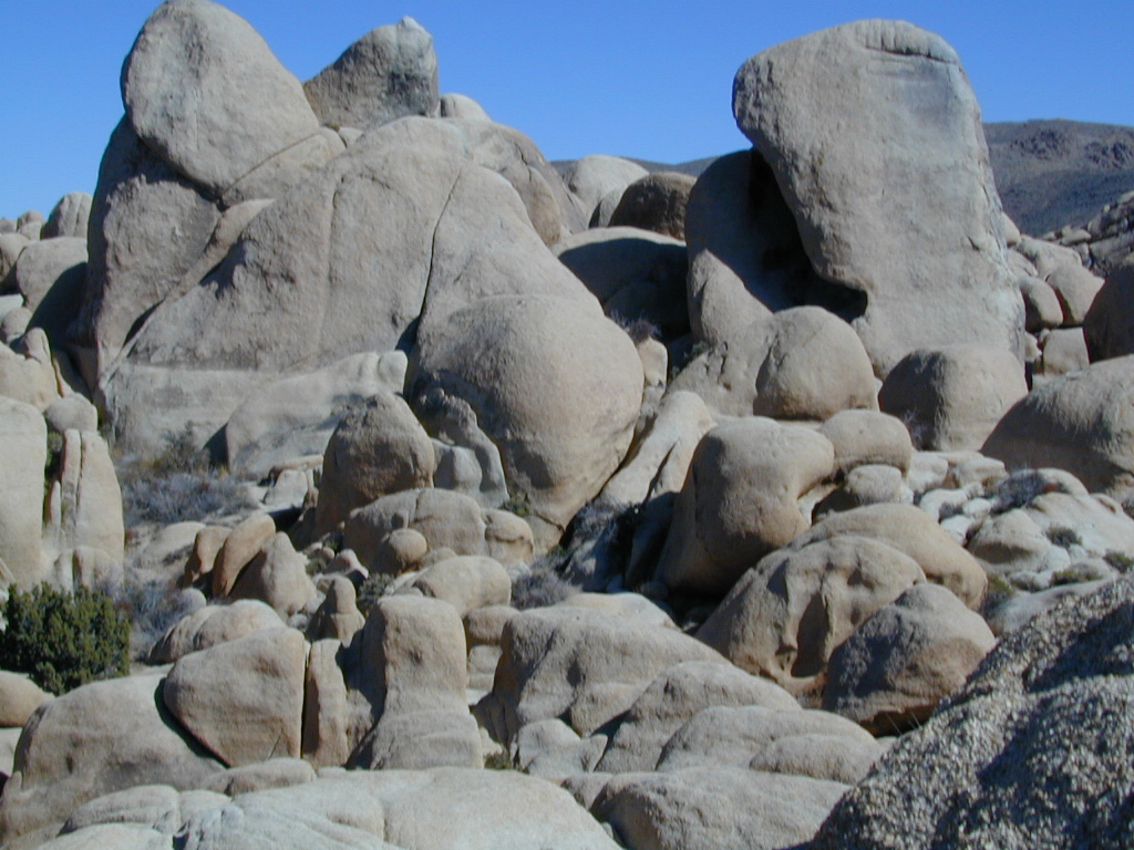
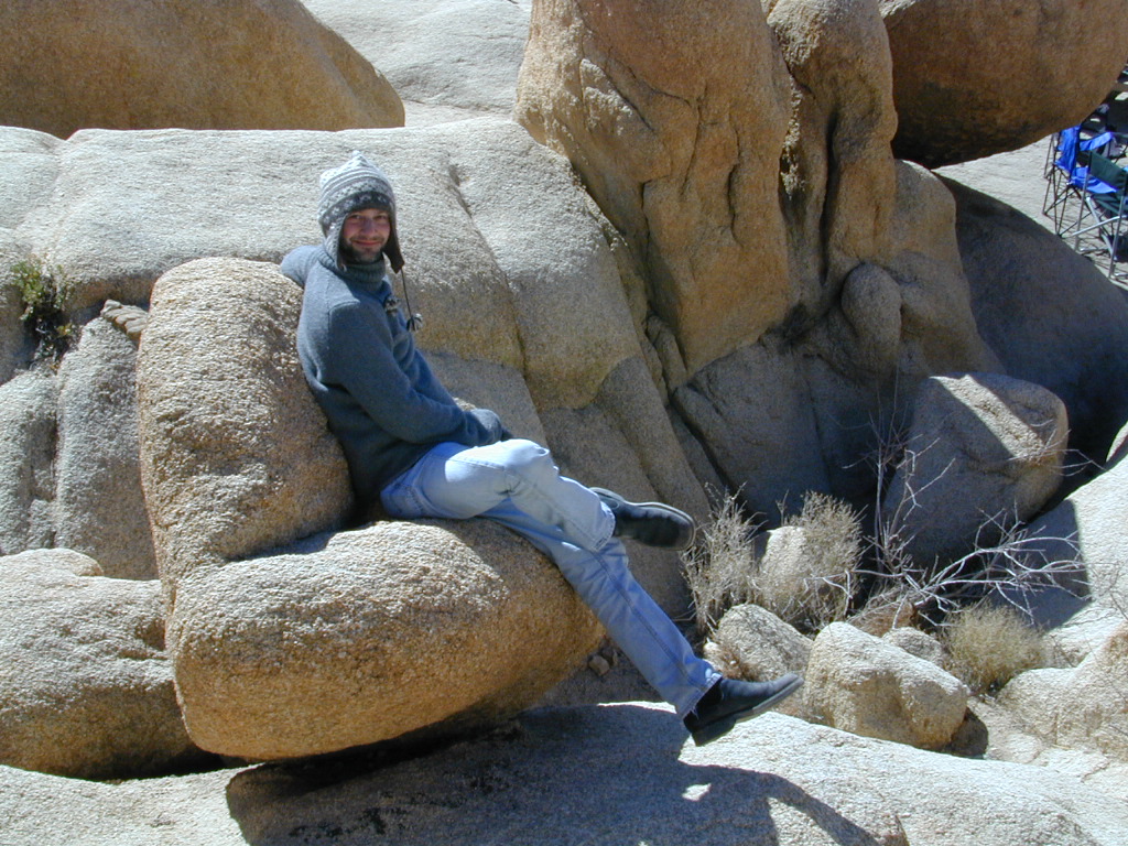
desert hikers and rock climbers love this small camp
White Tank & Belle campgrounds are the smallest camps Joshua Tree National Park has to offer. On the east side of park both campgrounds are located half a mile from one another.
This Southern California desert lunar-scape National Park is more popular & crowded because of the proximity to major urban areas. The south east side of the park entrance station, Cottonwood, is the least busiest gate.
bouldering
camping
hiking
stargazing
From the town of 29 Palms (on Highway 162) take National Park entrance South on Gold Park Rd. At intersection with Loop Rd. (do not turn right) Go straight through onto El Dorado Mine Rd. about two miles drive leads the 2 campgrounds.
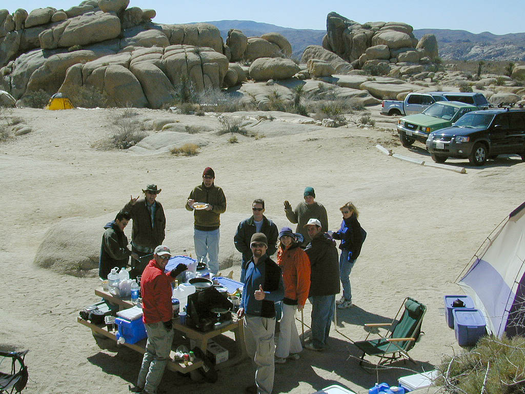
In the years between 2000-2005 founder of Total Escape, DanaMite, lead several guided camping trips to Joshua Tree and liked this specific area the best.
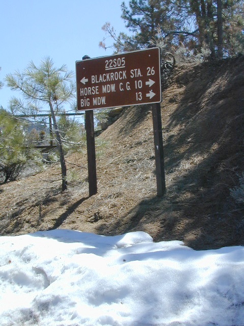
Sherman’s Pass Road: J41 Mojave to Kern River, Sequoia Forest Rd# 22S05
Sequoia National Forest
Snow closes Sherman’s Pass Road annually
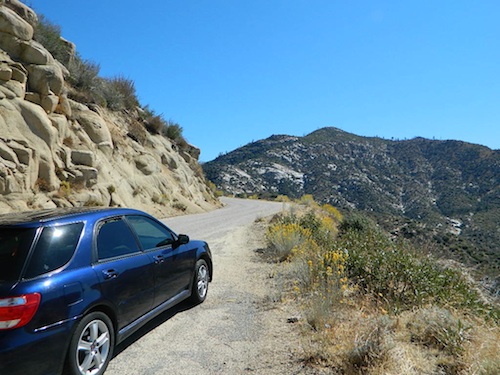
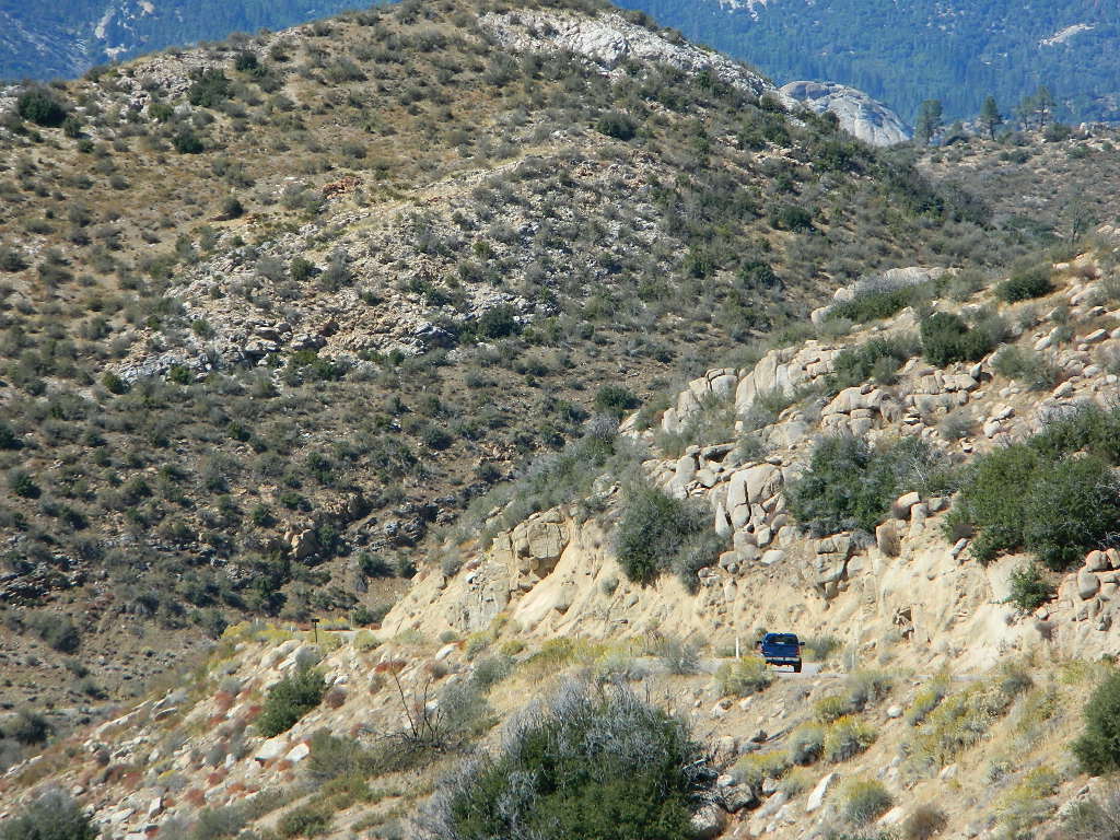
This paved Southern Sierra highway (aka J41, off US 395) is a paved route through the eastern portion of the Sequoia National Forest. A curvy mountain corridor which crosses over the forested plateau and also the South Fork of the Kern River. This road skirts the Domeland Wilderness & the South Sierra Wilderness. The PCT (Pacific Crest Trail runs across it as well, near Kennedy Meadows.
East side of Sequoia National Forest, the Kern Plateau meets the Mojave desert w/ BLM Camping & Inyo National Forest.
The Sherman route connects the Kern River, near Fairview to Kennedy Meadows & closes for snow in winter months. There are plenty seasonal creeks, meadows & forests in this region. Elevations range from 4000′ near the Kern River to 8000′ at Black Rock Station.
Bald Mountain Fire Lookout is an excellent stop for sightseeing over Domeland Wilderness. Access it via dirt road# 22S77, access to tower is a rough and rocky, steep road which may require 4WD.
USFS Ranger Stations:
Black Rock Station
760-376-1666
Kernville Station
760-376-3781
Campgrounds along Sherman’s Pass Road include –
Rincon Camp (primitive campsite) – just up from Brush Creek & Kern River; Rincon Trail #33E23 runs North/South near here.
Best of both worlds, way back in the boonies – two primitive tubs soaking perched on a soggy hill next to a big river, developed campground below, and a small resort w/ cabins, camping, restaurant and private soaking areas on the other side of the river.
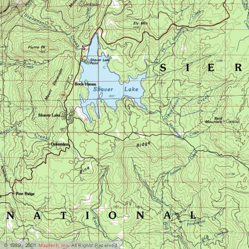
15 mi. NE of Huntington Lake off Kaiser Pass Rd. Huntington Lake & Hwy. 168
Two squared cement tubs overlooking the San Joaquin River, deep in the Sierra Nevada Mountains.
The coolest thing about this primitive hot springs is that it is a great destination for a one day snowmobile adventure. Rentals are in the nearby community of Lakeshore & the plowed paths are fairly easy to follow. If you plan on visiting the springs, you must not play around in the meadow much, there is plenty great Sierra scenery to be had. The snomo trip is a good 5 hours round trip with a lunch break & dip at mineral spring tubs.
backpacking
boating
camping
cross country skiing
fishing
hiking
horseback
kayaking
mountain biking
mountaineering
snow mobiling
stargazing
swimming
Sierra Snow-Mobilin’
Winter: road is closed half the year due to heavy snow. Summer: snow is gone and the road is open.
KAISER PASS ROAD Large motorhomes, RVs are not allowed on this long, steep, narrow paved route.
Max vehicle length: 25 feet
Take Hwy.168, turn right on Kaiser Pass Rd, just past the big ski resort. Pass the large meadow & follow signs to Mono Springs & Lake Edison. Make sure not to miss the left turn or you may end up at Florence Lake.
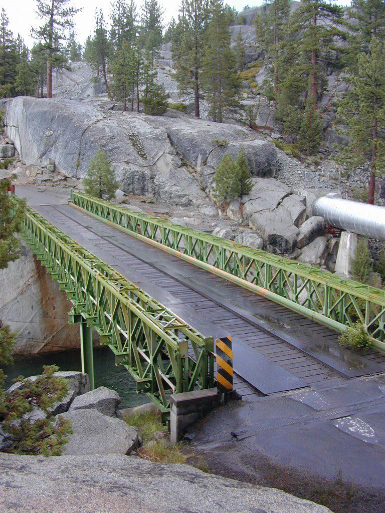
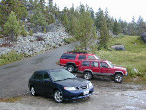
Parking near the green bridge over the San Joaquin River & hike over to the tubs on the hillsides. If there are other vehicles parked here, expect to see naked people nearby; Soaking should never be rushed. Clothing is optional – in California.
Mono Hot Springs Campground NFS
• Elevation: 6700′
• Number of Sites: 30
• Vehicle Accessibility: RV 25′
• Camp Fee: Yes
• Campsite Reservation: Yes
• Toilet: Vault
• Length of Stay: 14 Days
• Season: June – September
• Trailheads: Ansel Adams & John Muir Wilderness
NOTE: This USFS Campground, should not to be confused with the neighboring business, a privately run camp called –
The biggest Gold Lake, California is the well-known one, along the Gold Lake Highway in the Lakes Basin Recreation Area. Plumas meets Tahoe National Forest. North of Gold Country Hwy 49, Downieville & the Yuba River. Right where the Sierra Nevada granite meets the volcanic lava rock of NorCal.
Impressive jagged spires known as The Sierra Buttes (8591′) tower above the stunning lake scenery. This big Gold Lake is surrounded by a dozen smaller alpine lakes which make up the popular region called Lakes Basin. Easy access paved highway, which closes in winter for deep snow and winter recreation. The Gold Lake Highway is also referred to as Plumas County Road #S620
the sierra buttes
Sardine Peak Fire Lookout NFS fire tower – no more overnight rentals! overlooking the Sierra Buttes and the serene Lakes Basin, Yuba River, Northern Gold Country California
LAKES BASIN RECREATION AREA Cabins, camping, lake fishing, backpacking, hiking, horseback riding, mountain biking, off-roading, snow-mobiling.
Mini Gold Lake
(Plumas Co)
6000′ elev.
Another smaller Gold Lake exist on the granite slopes in Bucks Lake Wilderness – E of Oroville & W of Quincy, CA.
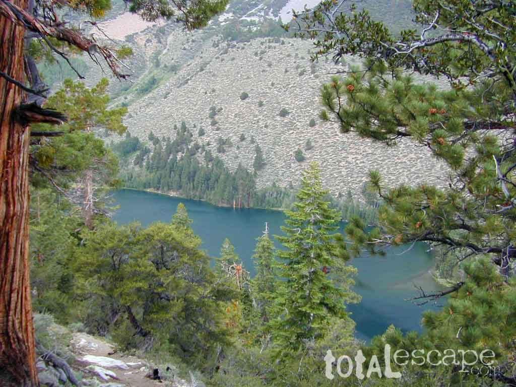
This hidden gem is a hike-in only lake – and well worth the effort. A somewhat short hike, great ridge line views to the east, although the last half mile of this route is a doozie (moderately strenuous).
The main trailhead departs from Silver Lake and climbs a ridge line that heads over to the PCT (Pacific Crest Trail). An off-shoot trail goes another mile to the miniature Gold Lake, a granite bowl of sheer beauty. A great day hike for those wishing to see the backcountry. Pack your picnic lunch, camera, and make a whole darn day of it!
Swimming & skinning dipping seem quite natural at this alpine lake, since it is a pretty remote location (without a lot of visitors) and there is absolutely no swimming allowed at neighboring Silver Lake.
The steep, overgrown, rocky shoreline leads one to bush whack through old trails, only to be met by a rock slide. Many dead ends and obstacles to climb around, or over. Some way… maybe, or maybe not!
Boulder and rock scrambling is the key phrase to remember, once you reach this lake. Knees may be sore from climbing, up and over the boulder ledge surrounding the lake bowl.
A few primitive camp sites are scattered about on the edge of the lake for those backpacking in, but be warned – they can be very difficult to reach. Much more suitable campsites can be found scattered throughout the area.
Warning: there are no flat, lush meadows to lounge in up at the lake, so pick yourself a side route (on the walk in) to find real seclusion and privacy.
This mile-long-ridge hiking trail to mini Gold Lake has some amazing views down to the east side – Jacks Meadow right below; then Meadow Valley & Quincy off in the distant hills. RURAL CALIFORNIA – Plumas County from above.
jacks meadow, way below
High Sierra Gold Lakes in California
hike-in only lakes
Golden Bear Lake
(Tulare Co)
12,000′ elev
High Sierra – Kings Canyon National Park
Center Basin / Center Peak 12,760′
PCT – Pacific Crest Trail
North of Mount Whitney
Eastern Sierra, Independence, CA
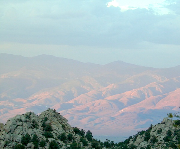
The majority of California cities are located near sea level, with low lying farmlands and populated coastlines common throughout world geography. California has super diversity w/ the population, as well as the elevation and the terrain. Vast rugged deserts bordering Nevada, from high deserts (8000′ @ Bodie ghost town) to low deserts (below sea level for Mecca) near the Salton Sea. Towering granite peaks with minimal vegetation, to fern canyons and redwood groves at the coast, California has quite the unique landscape.
The beautiful golden state is also home to the highest and lowest point within the lower 48 states; and those points are only about 100 miles apart – Death Valley (-282′ elev) and Mount Whitney (14,494′ elev).
MTN TOWN: upper elevation mountain towns w/ forests and flowing water, are primarily located in the Sierra Nevada range which runs the backbone of California in a north-south direction, separating the Pacific Ocean from the Great Basin. High altitudes are abundant in California, especially in the Eastern Sierra – but most are only accessible by foot.
The coastal mountain range and the Sierra Nevada encompasses most of Central California. The rest of the space is dedicated to large cities, farmlands and farming towns – which are most lower elevation. Orchards and vineyards can be found in the foothills (200′-2000′ elevation)
Northern California has more mountains and rivers, generally higher elevations and plenty more space to explore. Secluded forests, rivers, creeks, lakes, and reservoirs can be found above 2000′ elevation, north of Sacramento. The bigger mountains in the far north part of the state are part of the Cacade Range, which is volcanic in nature. (Mt. Lassen & Mt. Shasta). More water, more trees and more land – NorCal is very different than the lower half of the golden state.
North of Ojai, CA – Highway 33 winds up to Los Padres NF
Pine forests, junipers, sage chaparral, manzanita, joshua trees can be found between 3000-6000′
Hot Springs, creek canyons and cottonwoods are usually discovered above 2000′ elev.
Oak hills, ghost pines, creek beds, river canyons and most agriculture range from 1000-3000′
Under 1000′ elevation is the majority of the populated cities and towns within California; coastline, urban areas, foothills, farmland and a few reservoirs
Snow is always a factor in mid to high altitude towns with road conditions being unpredictable with each mountain range and each micro-climate. Winter months range from late October to May, so be warned. Above 3000′ elevation usually gets some snow. Serious snow above 5000′. Some High Sierra Passesdon’t open until JULY (Yosemite Hwy 120 & Sonora Hwy 108). Carry tire chains or have 4×4 to travel safely on snowy roads. Guard rails are seldom around every curve.


 At first we thought it would require more map insight in finding the lodge under such wintery conditions. But to our surprise, the road we had been traveling on, Highway 168, just dead ended at our weekend getaway. The check into the lodge was fast and simple, soon we found ourselves settling into a decent rustic cabin with drifts of snow twelve feet high all around. Thanks to the constant plowing of roads, everything was accessible within reason due to El Ninos erratic behavior.


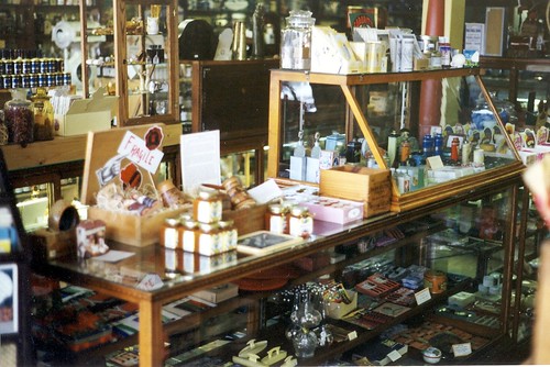
 Laguna Canyon Saw Dust festival grounds will be transformed into a winter wonderland where artists create, display and sell original creations over the course of five weekends. The Winter Fantasy is offers the most unique holiday shopping in all of Southern California. Art media includes jewelry, clothing, fused and blown glass, ceramics, woodwork, forged metals, painting, photography, sculpture, clothing and textiles.
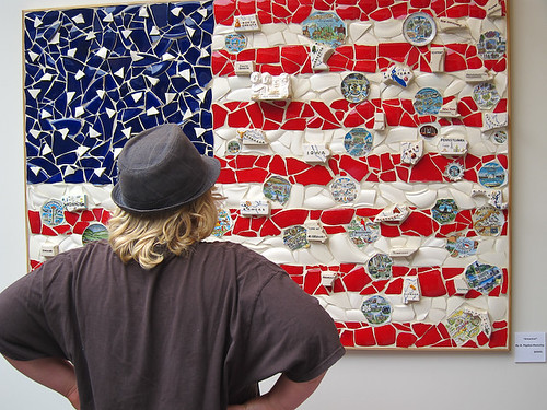


 This hidden gem is a hike-in only lake – and well worth the effort. A somewhat short hike, great ridge line views to the east, although the last half mile of this route is a doozie (moderately strenuous).


