Camping near Lassen Park
 Mount Lassen is part of the Cascade Mountain Range, located north of the Sierra Nevada. The Lassen forest encompasses a large area of wilderness land, snowmelt creeks and an abundant dirt road system. Most of which is covered in deep snow about half the year, so plan accordingly.
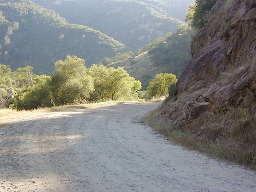
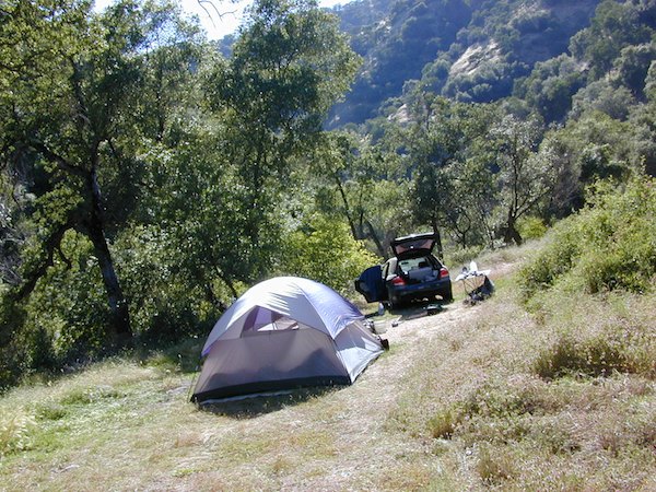
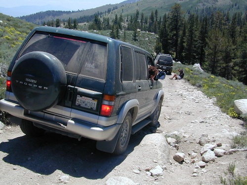
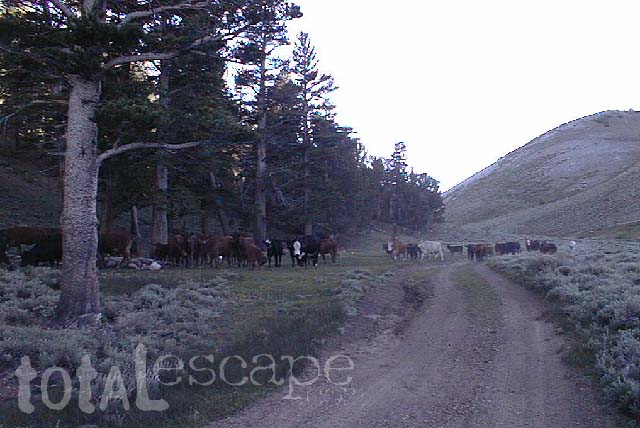
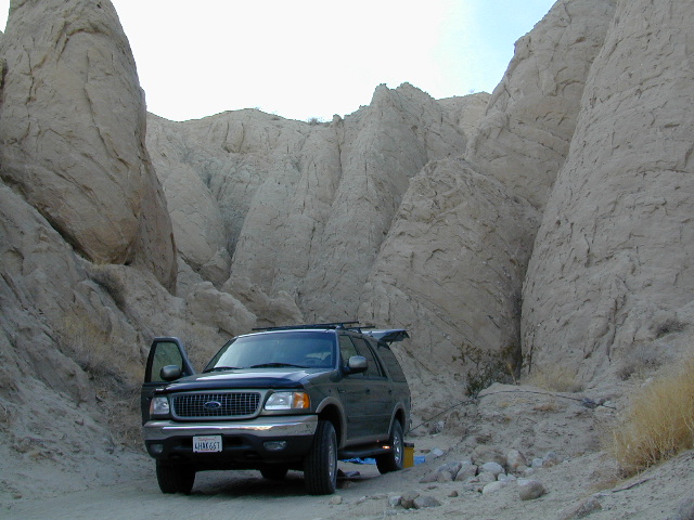
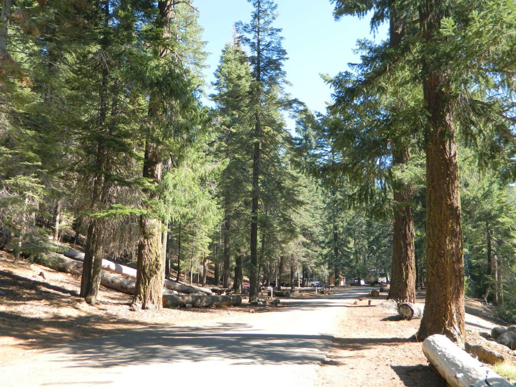
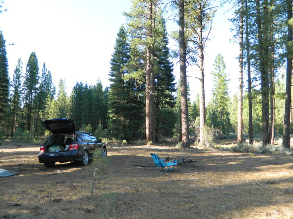
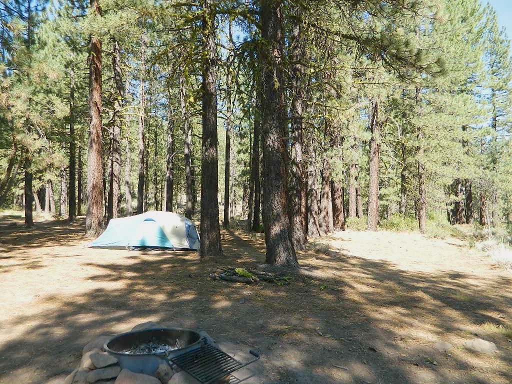
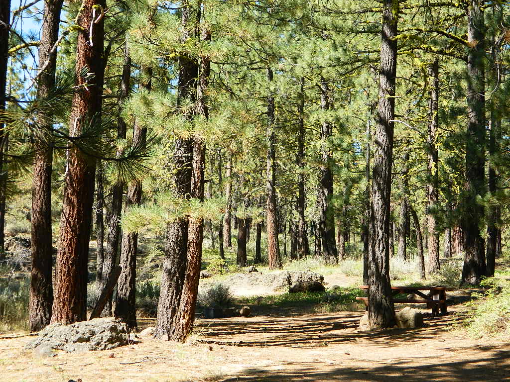
Plenty of great dispersed camping along the old logging roads in this Lassen Forest area, surrounding the Volcanic National Park; in Northern California. Many dirt roads are graded annually to allow for passenger car access. You can make it way back there in a car – just watch for the mud and some boulders!
Camp fire permits required (see below). Pease try to choose a camp that has been used before and pack out your garbage.
HINT: a USDA Lassen National Forest Map is very helpful when camping these remote, Lassen back roads. Stay away from the crowds, avoid camp fees & really enjoy your vacation.
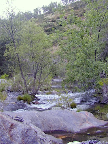
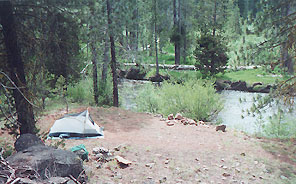
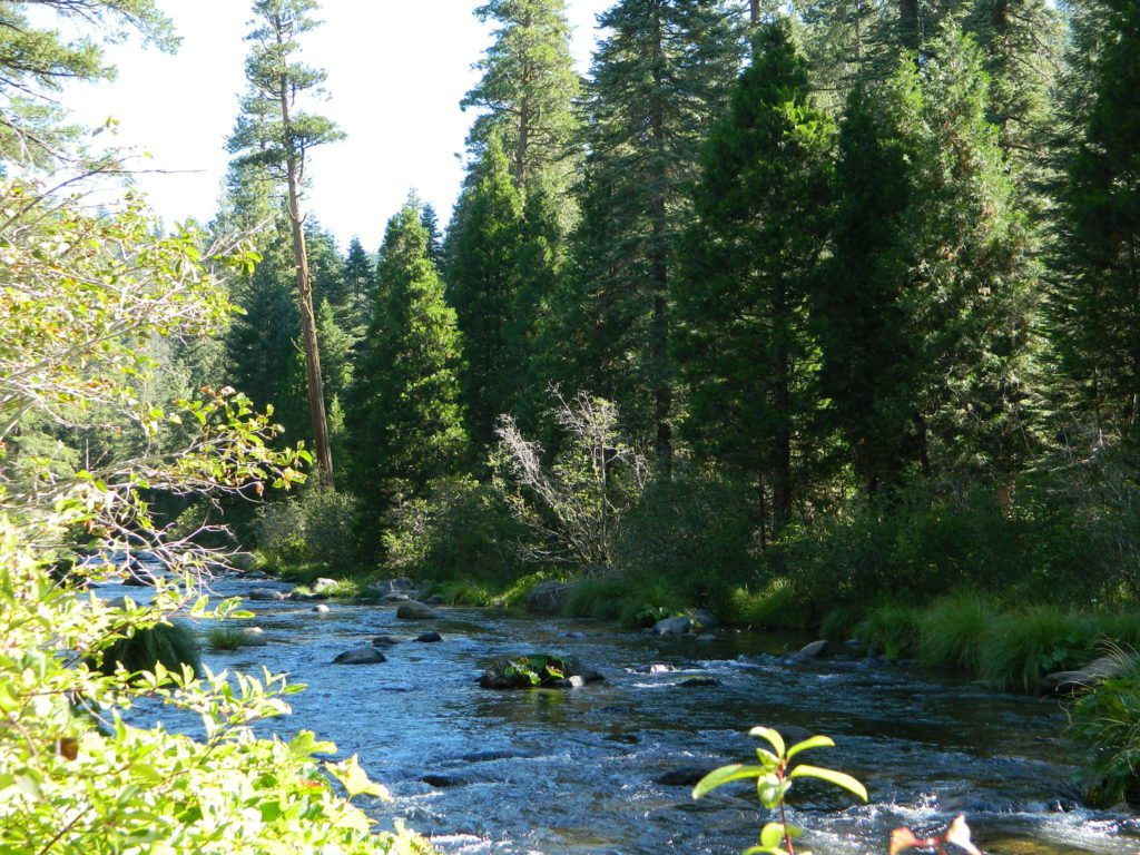
Camp right on a rushing river, alone. With no one in sight or sound. Have that secluded camping experience you’ve always dreamed about. Fishing, relaxing, maybe some hiking too. Or better, your mountain bike. Plenty forest roads to explore.
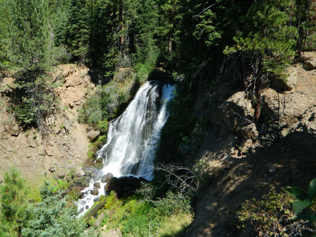
Numerous waterfalls to discover, water flowing everywhere. Mount Lassen @ 10,457′ elevation, is often snow-capped year round. This Northern California region is covered with pine forests and volcanic history.

(PG&E Campground)
CAMP LASSEN
is our guide to all camping and campgrounds
in Lassen Forest, Parks and nearby towns


If you wanna find the nearest biker bar, head over to the rustic and forested Bambi Inn @ Butte Meadows. The place is popular all the time, especially on weekends. Scenic day drive from Chico, located near a nice river and bridge, plus they have cabin rentals too. Sometimes they have big events and it can get pretty crowded and loud w/ drinking and outdoor music.
BSA Camp Lassen is a boy scout camp located E of Chico, off Highway 32 near Butte Meadows, CA
Dispersed Camp sites in Lassen in Lake Almanor Area
| campground | elev. | spots | veg | toilet | water | notes |
| Alder Creek Campground | 3900′ | 6 | pines | vault | creek | March-Nov |
| Benner Creek Campground | 5562′ | 9 | pines | vault | creek | May-Nov |
| Black Rock Campground | 2100′ | 6 | pines | vault | creek | year round, fish |
| Echo Lake Campground | 6440′ | hike | pines | none | lake | May-Nov, no tables |
| Soldier Creek Campground | 4890′ | disp | pines | vault | creek | May-Nov, fall hunters |
| South Antelope Campground | 2700′ | 4 | pines | vault | creek | year round |
| Willow Lake Campground | – | disp | pines | – | lake | May-Nov, no tables |
NORTH LASSEN
Northside of Mount Lassen
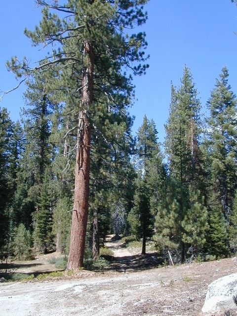
Excellent back roads camping w/ dense forest and free firewood all over the place (bring hand saw). Dispersed, primitive, free camping, near creek, and highway close. Many forest dirt roads turn offs, all along Highway 44 (California SR 44) near junction w/ Hwy 89 @ Lassen National Park.
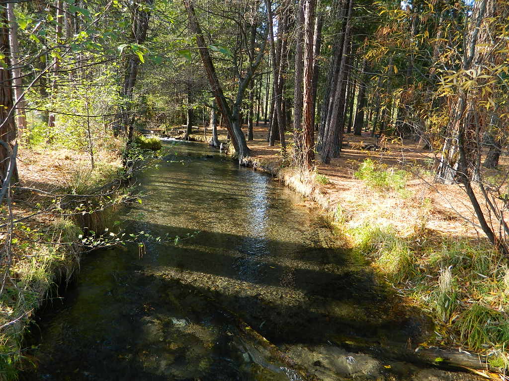
Big creeks, dense forests, graded dirt roads, dark night skies. PCT access, trailheads, camping, fishing, hiking, hunting, all along Upper Hat Creek.
Campfire permits (shovel, bucket & water) are required when camping outside of a developed campground. Always check on current fire restrictions. Washed out bridges and landslides are common, which means road closed signs can be found on these remote backroads.

see also –
Lassen Area Maps –
Lassen Towns –
- Chester CA
- Chico, CA
- Old Station
- Hat Creek
- Burney
- Viola
- Shingletown
- Manton
- Quincy
- Susanville
- Westwood
- Lake Almanor
- Greenville
- Crescent Mills
- Mill Creek
- Mineral
- Butte Meadows
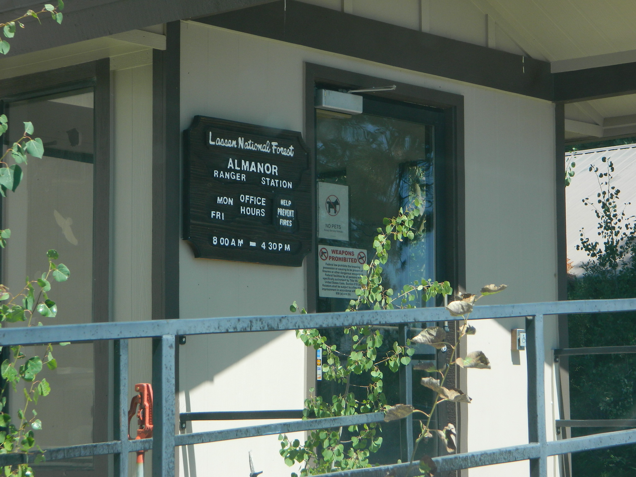
Lassen National Forest
Almanor Ranger District
900 E. Hwy 36 | PO Box 767
Chester, CA 96020
530-258-2141
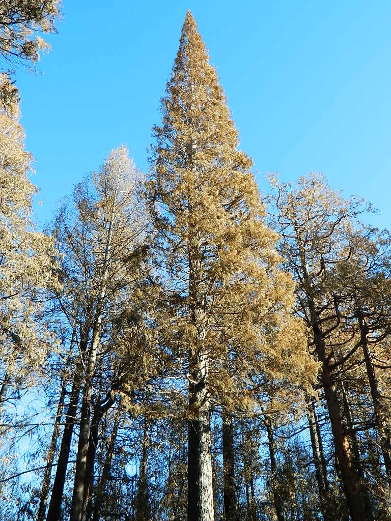
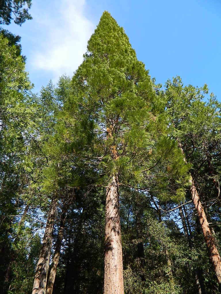

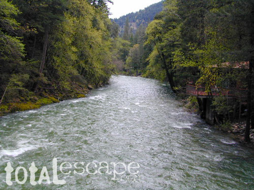
 Redwood forests and rivers are what make up most of the Northwest part of California, just below the Oregon coast. Logging and fishing are the big industries up here. Lumber mill towns and camps still exists today. Wilderness areas, dirt back roads, river kayaking, stream fishing, camping and real wild indians. Oh yeah, and Big Foot!
 The furthest north is

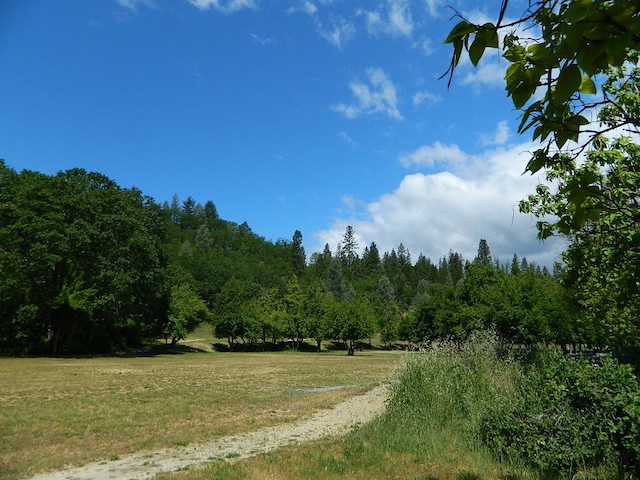
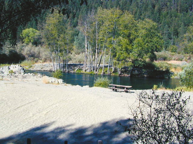
 Coastal mountains located above the Napa & Sonoma wine country. US 101 & Highway 20. Rivers, forests, wilderness and redwoods is the key terrain that make up the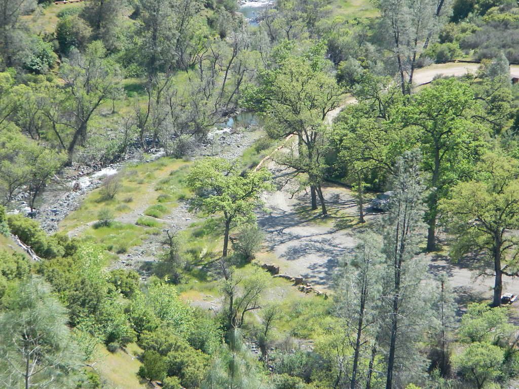
 Northern Sierra Nevada mountains is where the granite rock of the Sierra meets to volcanic rock of Lassen Volcano.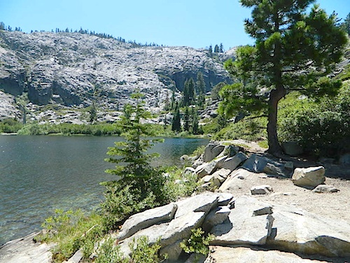
 Technically speaking, the Susan River is the top waterway of the Sierra Nevada mountains.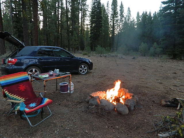





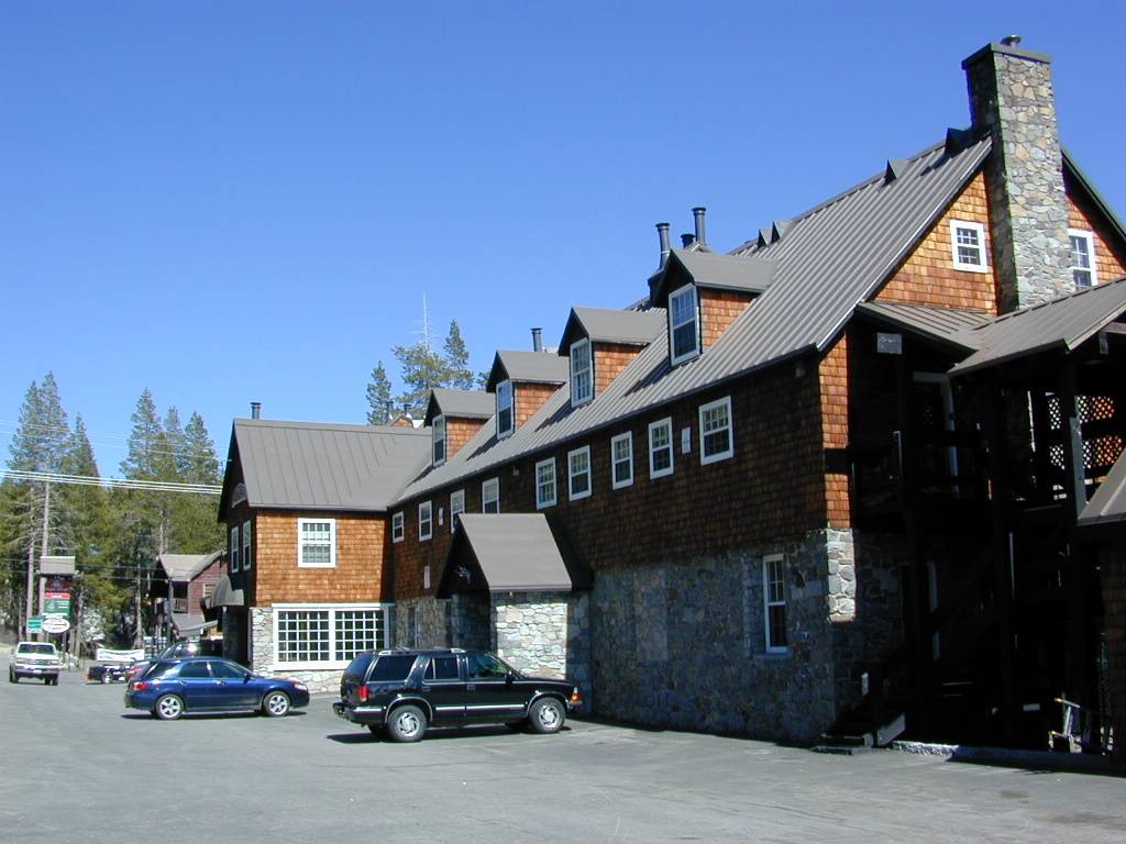
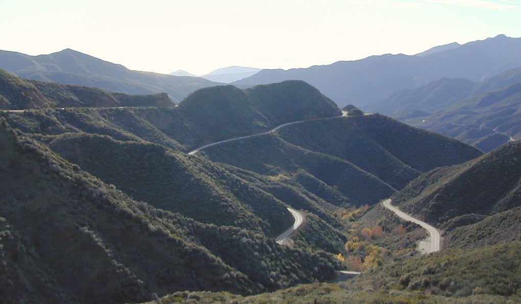
 Snow is always a factor in mid to high altitude towns with road conditions being unpredictable with each mountain range and each micro-climate. Winter months range from late October to May, so be warned. Above 3000′ elevation usually gets some snow. Serious snow above 5000′. Some High Sierra Passesdon’t open until JULY (Yosemite Hwy 120 & Sonora Hwy 108). Carry tire chains or have 4×4 to travel safely on snowy roads. Guard rails are seldom around every curve.