Tag Archives: almanor

Lassen Camping

NFS ELAM
Elam Creek Campground, Hwy 32

Camping near Lassen Park
Lassen River CampMount Lassen is part of the Cascade Mountain Range, located north of the Sierra Nevada. The Lassen forest encompasses a large area of wilderness land, snowmelt creeks and an abundant dirt road system. Most of which is covered in deep snow about half the year, so plan accordingly.

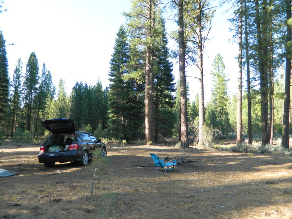
Plenty of great dispersed camping along the old logging roads in this Lassen Forest area, surrounding the Volcanic National Park; in Northern California. Many dirt roads are graded annually to allow for passenger car access. You can make it way back there in a car – just watch for the mud and some boulders!

lassen maps

Camp fire permits required (see below). Pease try to choose a camp that has been used before and pack out your garbage.

HINT: a USDA Lassen National Forest Map is very helpful when camping these remote, Lassen back roads. Stay away from the crowds, avoid camp fees & really enjoy your vacation.

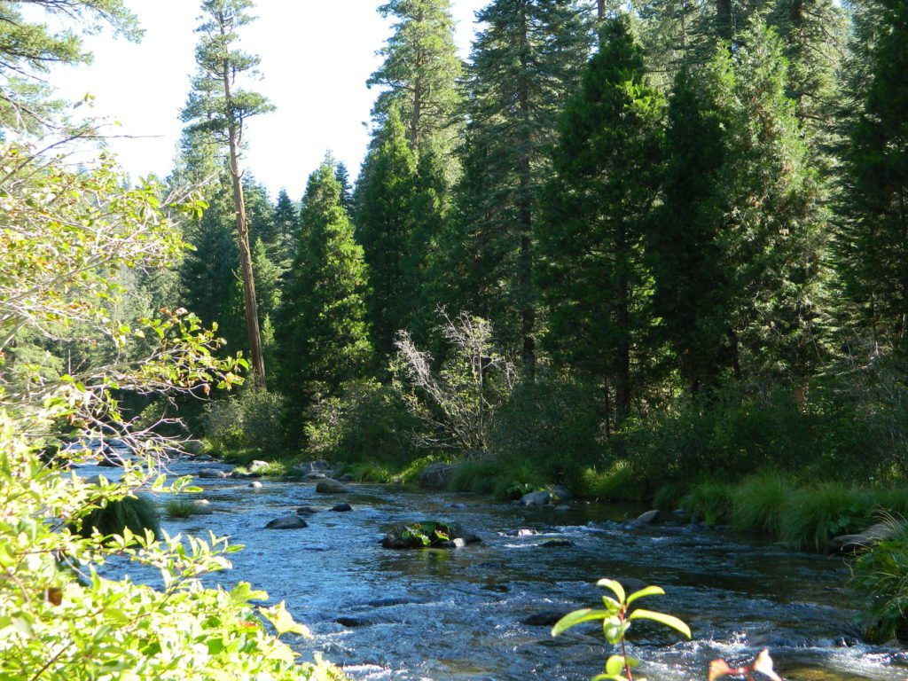
Camp right on a rushing river, alone. With no one in sight or sound. Have that secluded camping experience you’ve always dreamed about. Fishing, relaxing, maybe some hiking too. Or better, your mountain bike. Plenty forest roads to explore.mountains

Numerous waterfalls to discover, water flowing everywhere. Mount Lassen @ 10,457′ elevation, is often snow-capped year round. This Northern California region is covered with pine forests and volcanic history.
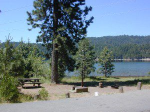
Cool Springs PGE
Cool Springs @ Butt Lake, California
(PG&E Campground)

CAMP LASSEN
is our guide to all camping and campgrounds
in Lassen Forest, Parks and nearby towns

camp

NFS

If you wanna find the nearest biker bar, head over to the rustic and forested Bambi Inn @ Butte Meadows. The place is popular all the time, especially on weekends. Scenic day drive from Chico, located near a nice river and bridge, plus they have cabin rentals too. Sometimes they have big events and it can get pretty crowded and loud w/ drinking and outdoor music.

BSA Camp Lassen is a boy scout camp located E of Chico, off Highway 32 near Butte Meadows, CA

Dispersed Camp sites in Lassen in Lake Almanor Area

campground elev. spots veg toilet water notes
Alder Creek Campground 3900′ 6 pines vault creek March-Nov
Benner Creek Campground 5562′ 9 pines vault creek May-Nov
Black Rock Campground 2100′ 6 pines vault creek year round, fish
Echo Lake Campground 6440′ hike pines none lake May-Nov, no tables
Soldier Creek Campground 4890′ disp pines vault creek May-Nov, fall hunters
South Antelope Campground 2700′ 4 pines vault creek year round
Willow Lake Campground disp pines lake May-Nov, no tables

NORTH LASSEN

Free North Lassen
Free Camping Lassen

Northside of Mount LassenNFSlogo

Excellent back roads camping w/ dense forest and free firewood all over the place (bring hand saw). Dispersed, primitive, free camping, near creek, and highway close. Many forest dirt roads turn offs, all along Highway 44 (California SR 44) near junction w/ Hwy 89 @ Lassen National Park.

Big creeks, dense forests, graded dirt roads, dark night skies. PCT access, trailheads, camping, fishing, hiking, hunting, all along Upper Hat Creek.

Campfire permits (shovel, bucket & water) are required when camping outside of a developed campground. Always check on current fire restrictions. Washed out bridges and landslides are common, which means road closed signs can be found on these remote backroads.

campfire

see also –

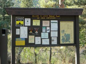
Hat Creek Campground
Honn Campground on Hat Creek, Hwy 89
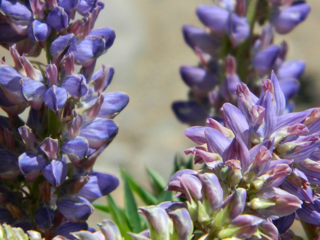
Large Lupine Lassen
Large Lupine on Mill Creek

HatCreekCampgr

Lassen Area Maps –

Lassen Towns –

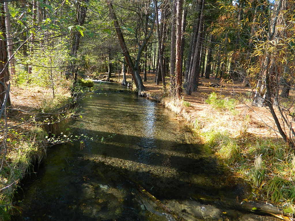
Creeks along Highway 32 - N of Chico, CA
Creeks along Highway 32 – N of Chico, CA
Lake Almanor, California
USFS Chester Ranger Station

Lassen National Forest
Almanor Ranger District
900 E. Hwy 36 | PO Box 767
Chester, CA 96020
530-258-2141

Plumas Campgrounds

Plumas Campsites

Snake Lake Campground near Quincy, California

hikerPlumas National Forest has excellent outdoor recreation and developed campgrounds, as well as secluded, primitive back roads camping sites. If you prefer a camp with table, toilet and a campfire ring, then expect to pay a fee. There are several small, remote campgrounds listed below, but most are located on paved roads. Venture down dirt roads to find a premium camp sites for free. Scroll the map links below to explore the back roads of Plumas, and discover hidden fishing holes.

SOME CAMPGROUNDS are closed due to  wildfire damage in the Plumas region.

#BearFire #NorthComplex wildland fires 2020
#DixieFire wildfire 2021

fish  4x4  camp

Plumas Camping; Sierra Nevada Campgrounds; Feather River, Fishing Lakes, Reservoirs, PCT

campground elev spots toilet water notes
Black Rock Campground 5046′ 20 vault piped Little Grass Valley Res.
Boulder Creek Campground 5000′ 70 vault piped reservations
Antelope Lake
Brady’s Campground 7200′ 4 vault creek Greenhorn
Pine Creek
Cottonwood Springs Group Camp 5700′ 20 vault creek reservations
Conklin Park Campground 5900′ 9 vault creek US Hwy 395
Crocker Campground 5800′ 10 vault creek Eagle Lake
Deanes Valley Campground 4400′ 7 vault creek dirt road
#24N20

Feather Falls Campground 2500′ 5 vault piped CLOSED
Gansner Bar Campground 2300′ 14 flush piped Caribou Road,
North Feather
Gold Lake Campground 6400′ 6 vault lake 4WD camp site, LBRA
Grizzly Creek Campground 5000′ 8 vault piped reservations
Bucks Lake
Hallsted Campground 2800′ 20 flush piped reservations
North Feather
Horse Camp 5046′ 10 vault lake Little Grass Valley Res.
Hutchins Campground 5200′ 10 flush piped Bucks Lake
Lake Almanor Campground 4500′ 53 vault piped reservations
Lakes Basin Campground 6400′ 24 vault piped Lakes Basin Rec.
Laufman Campground 5100′ 6 vault creek US Hwy 395
Little North Fork 4000′ 8 vault creek CLOSED
Lone Rock Campground 5000′ 87 vault creek reservations
Antelope Lake
Long Point Campground 5000′ 38 vault creek reservations
Antelope Lake
Meadow  Campground 6100′ 6 vault no dirt road
#24N29
Mill Creek Campground 5000′ 10 vault piped Bucks Lake
Milsap Bar Campground 1600′ 20 vault creek CLOSED
North Fork Campground 2600′ 20 vault piped reservations
North Feather
Peninsula Campground 5046′ 25 flush piped Little Grass Valley Res.
Queen Lily Campground 2600′ 12 flush piped reservations
North Feather
Red Feather Campground 5100′ 60 flush piped Little Grass Valley Res.
Rock Creek Campground 4000′ 6 vault no dirt road
#24N20
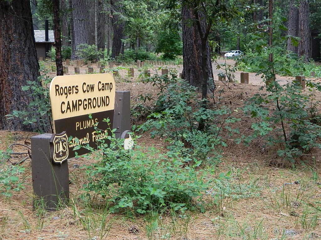
Rogers Cow Camp 4000′ 5 vault no CLOSED
Ross Camp 6070′ 5 vault no high clearance
Silver Lake Campground 5800′ 8 vault lake CLOSED
Snake Lake Campground 4200′ 9 vault lake horse corrals
RV + trailers
Sundew Campground 5000′ 19 vault piped Bucks Lake
Tooms Vehicle Campground 5046′ 20 vault piped Little Grass Valley Res.
Whitehorse Campground 5000′ 20 vault creek reservations
Plumas National Forest Map


ceremony site
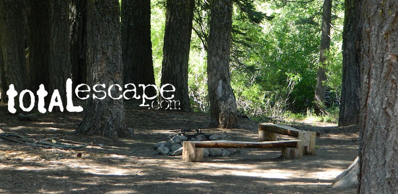
This particular camp spot is shady and has bench seats. A perfect little ceremonial set up.


  • backpackingboatramp
  • boating
  • camping
  • fishing
  • forests
  • hiking
  • hunting
  • kayakingcanoe
  • lakes
  • mountain biking
  • off-roading
  • swimming holes
  • wildlife

see also – Plumas Camping

primitive camp sites hikes camp NFSlogo

FIRE LOOKOUTS & NFS CABINS for rent

RogersCowCamp
Rogers Cow Camp on Oro-Quincy Highway, North Sierra Nevada
secludedcamp
Dense forest @ Deane’s Valley Camp, in between Quincy & Meadow Valley, CA

Plumas Forest Maps

goldshore
Mini Gold Lake, near Silver Lake @ Bucks

Plumas Forest Regions

  • Beckworth Ranger District

Lake Davis, Conklin, Crocker, Gold Lake, Lakes Basin

  • Feather River Ranger District

Little Grass Valley Res., Sly Creek, Feather River

  • Mount Hough Ranger District

Antelope Lake, Bucks Lake, Feather River Canyon, Indian Valley

Bike Trail Lake Almanor

Paved bike path along the west shore of Lake Almanor, a very developed lakeshore community, south of Mount Lassen peak.

Ponderosa Flat Campground

Butt Lake California
Ponderosa Flats Campground

DSCN0101

Lake Camping NorCal

RV camping, tent camping, fishing, hiking, swimming, boat launch, handicap accessible.

Ponderosa Campground – PG&E Campground,  located 3 miles from Lake Almanor

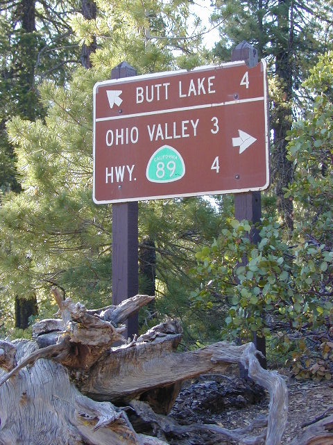
Tucked away off the main drag of Plumas Hwy 89. North end of Butt Valley Reservoir on east shore. Turn off about 6 miles northwest of Lake Almanor Canyon Dam on Hwy. 89, take Butt Valley Road south for 3.2 miles.

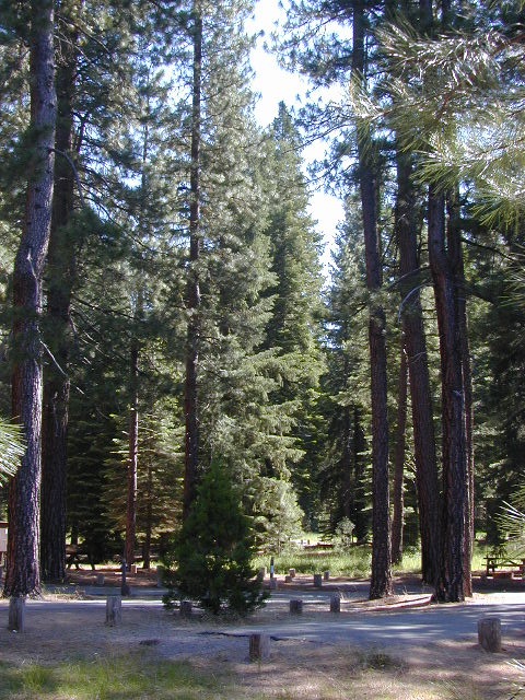
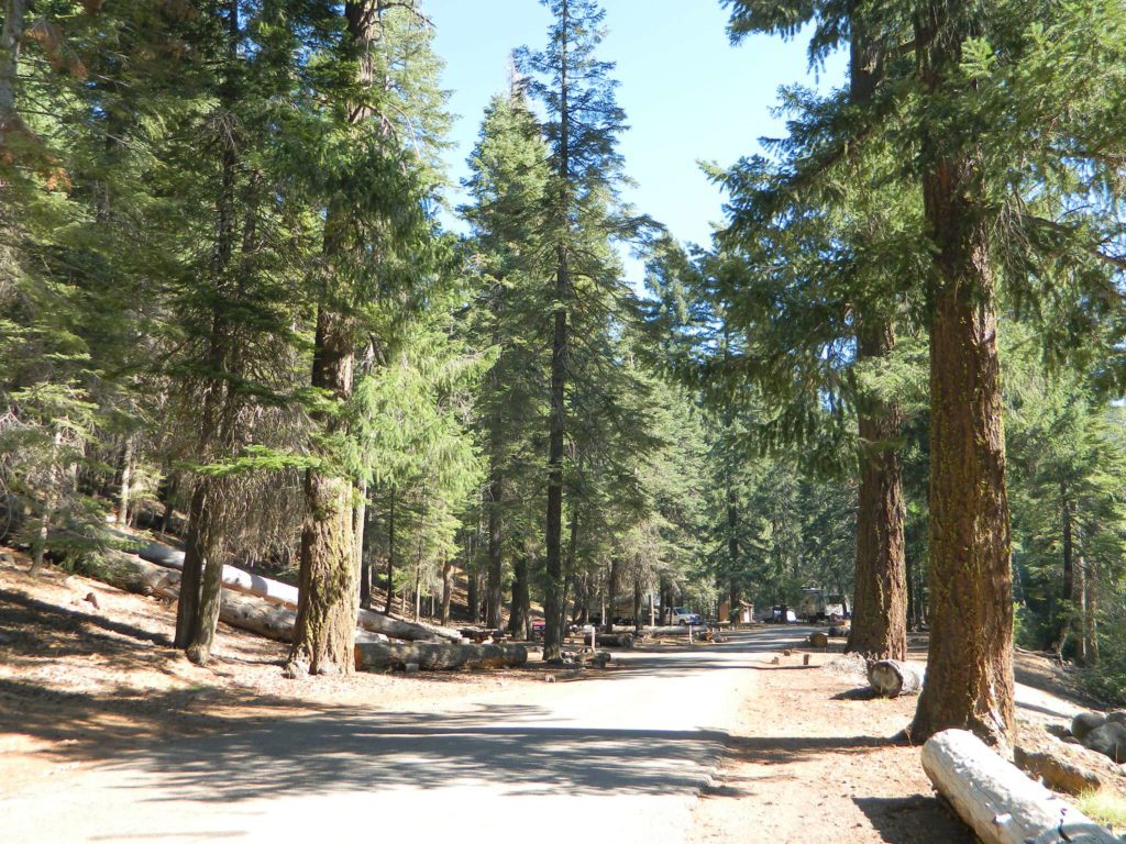
Set in a Ponderosa Pine forest along the shores of Butt Lake, part of a system of reservoirs formed by hydro-electric dams managed by Pacific Gas & Electric.  Lake levels can change rapidly with minimal warning.

DSCN0117

Quiet lake in California: No water skiing, jet ski or race boats; only small motorized fishing boats.  Canoeing, kayaking and sail boating are also popular lake recreation. Off road areas nearby.

• Elevation: 4,150′
• Number of Sites: 63
• Camping Reservations: Yes
• Sites Available: Reservations; First come, First serve
• Vehicle Accessibility: Vehicle 32 ft. max. No RV Hookups
• Length of Stay: 14 Days
• Water: Piped; lake
• Toilet: Vault
• Season: Closed for winter, Nov-April
• Fee: Yes
• Operated By: PG&E
• Closest Town: Lake Almanor, CA

Pacific Gas & Electric
Almanor Ranger Station
916-386-5164

Ohio Valley Route
The alternate dirt road access thru Ohio Valley is graded dirt w/ rough roads that may require 4×4 or high clearance vehicles. RVs are not advised to travel this way.

nearby destinations –