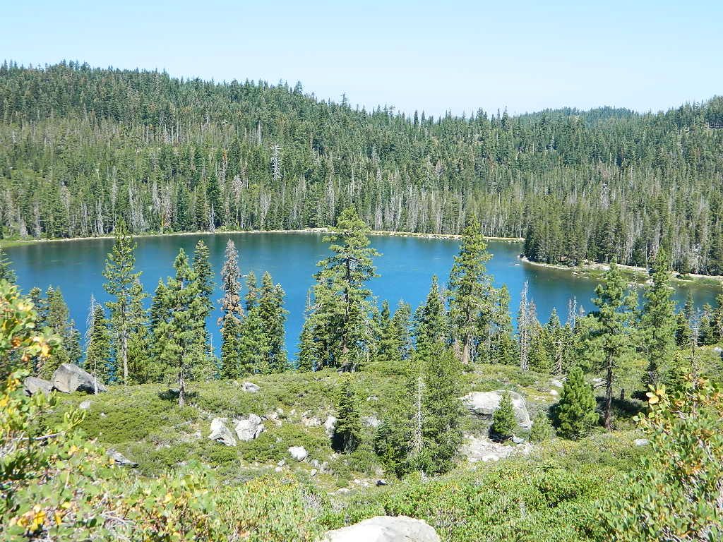
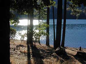
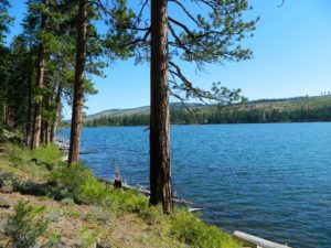
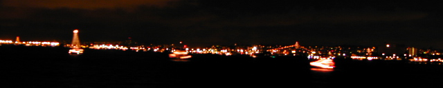
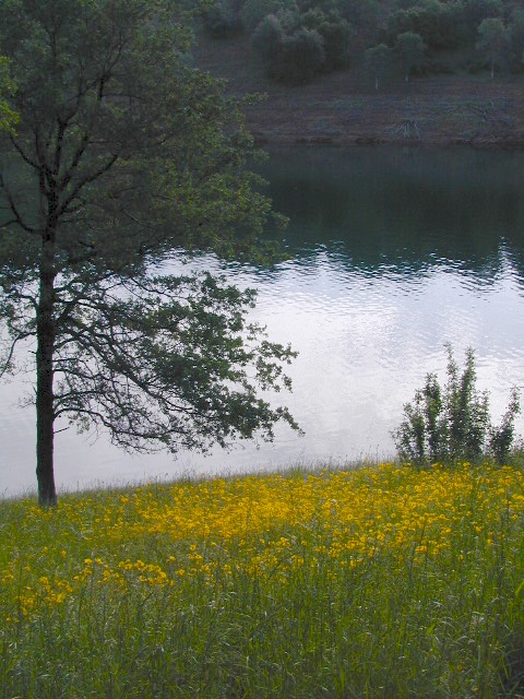
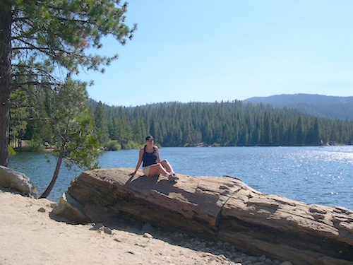
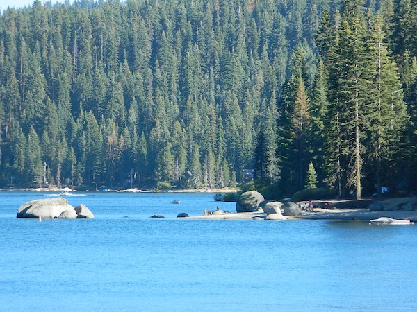
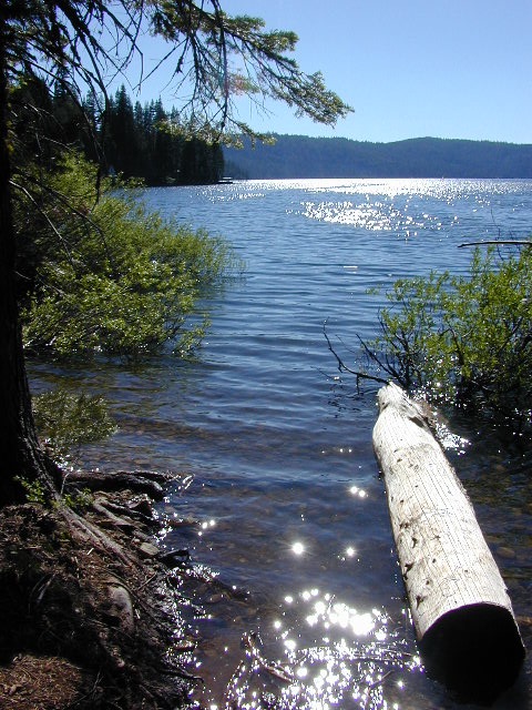
Lake Davis @ Plumas National Forest elevation 5886′
Three paved roads access Lake Davis which is located north of Highway 70. Residential areas exist on the south side of the lake, which is 7 miles north of Portola, CA
Grizzly Ridge (elev 7000′) is located on the westside of Lake Davis, East of Quincy, CA
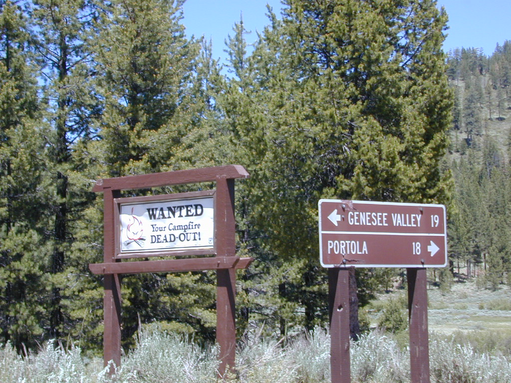
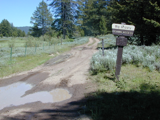
Beckwourth Taylorsville Road #112 (a dirt road) follows Little Grizzly Creek down from Genesee, and flows into this rural reservoir. Grizzly Valley Dam, also known as the Grizzly Creek Dam, reinforced the lake when it was built in 1967.
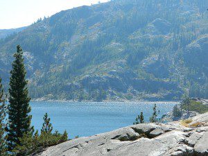
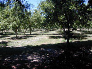
Crocker Mountain @ Lake Davis, California
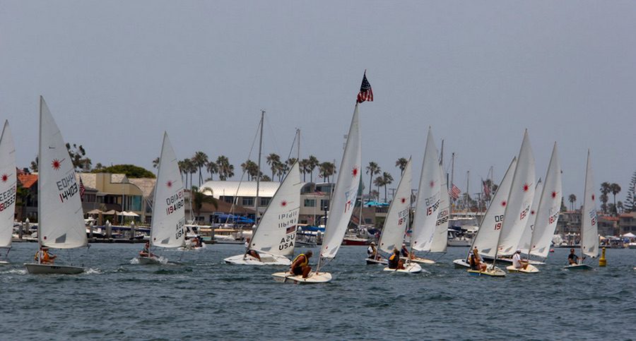
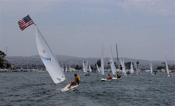
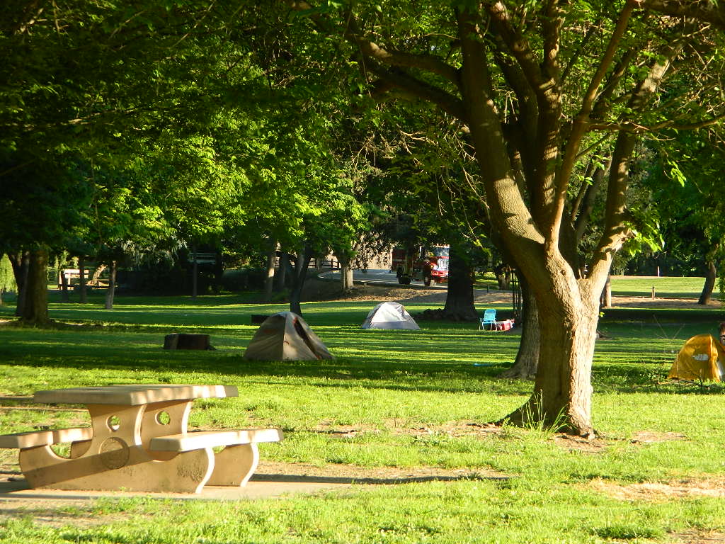
Quiet Lake Davis
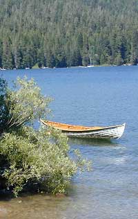
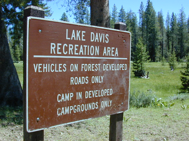
Lake Davis Recreation Area offers a wide variety of outdoor experiences for summer including: camping , picnicking, fishing, hunting, boating, mountain biking, swimming, and wildlife viewing. Waterskiing and jet skis are not permitted. In the winter, ice fishing, snowmobiling, and cross-country skiing are popular activities.
Frequent strong winds can cause the lake to become very hazardous for small craft. Boat Ramps at Camp Five, Honker Cove, Lightning Tree and Mallard Cove. Launching facilities have loading docks, paved ramps, parking and restrooms, and they all charge a fee.
Relatively uncrowded lake in the Northern Sierra, this location is often overlooked by travelers for more the popular, larger lakes. Locals use this location for outdoor recreation. Plumas National Forest
bird watching
boating
camping
cycling
fishing
forests
hiking
horseback
kayaking
meadows
mountain biking
stargazing
wildflowers
wildlife viewing
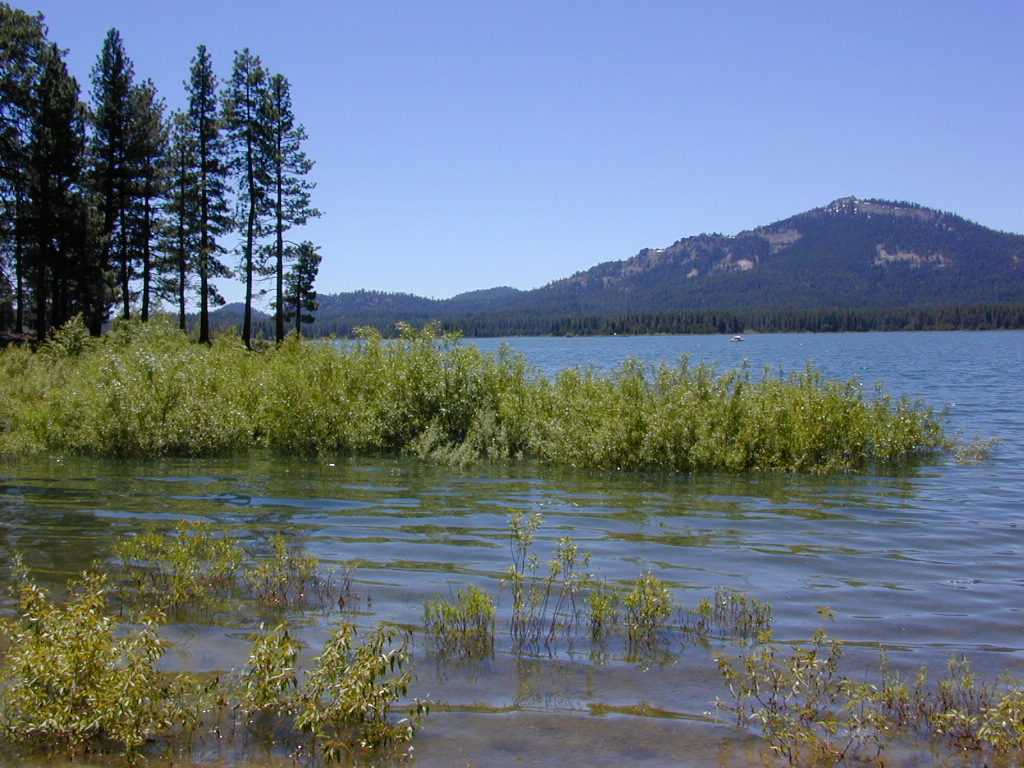
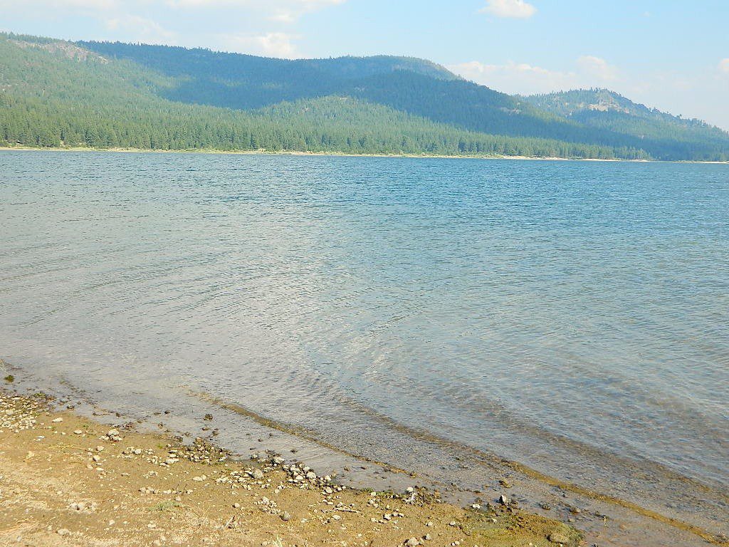
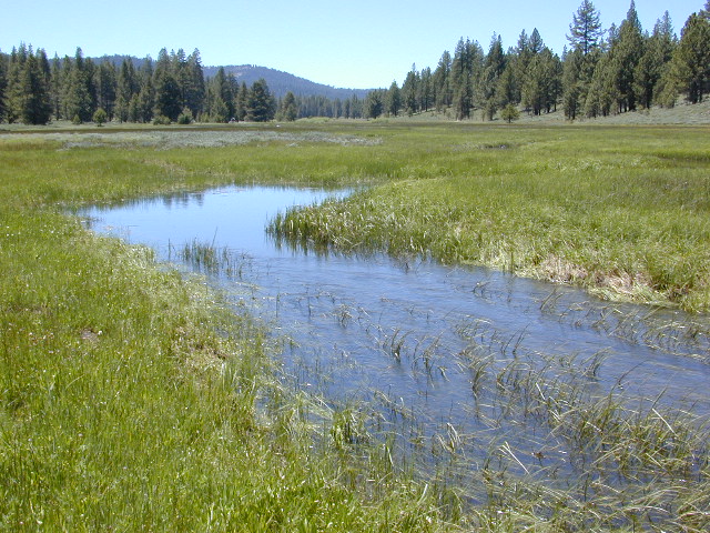
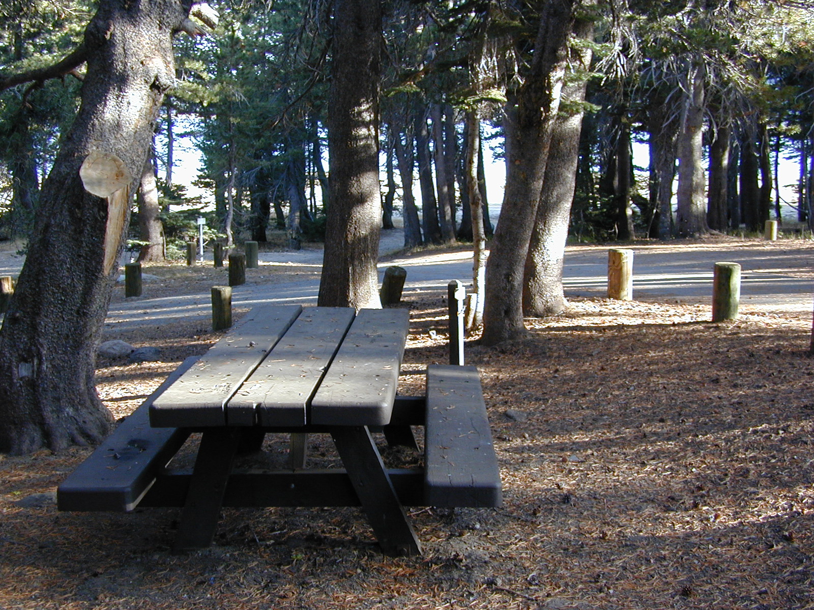
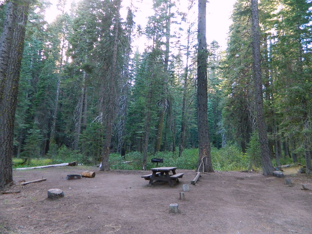
The developed campgrounds are located on the southern end of the lake. The backside of the lake is mostly made of up creeks, meadows, forests, dirt roads, wildflowers and abundant wild life.
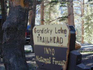
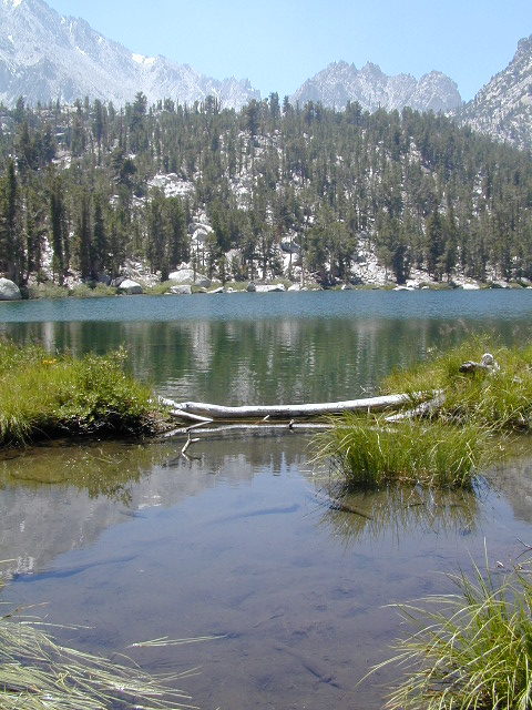
Blue Lake in Modoc National ForestHiking Lake w/ Loop Trail in far Northern California
Blue Lake
Modoc National Forest
When you really wanna get away from it all, take a week off and head up to Modoc – the top northeast corner of California, where the volcanic mountains line the Great Basin. The population is minimal, cattle are abundant and the campers few. Even in mid summer, this ideal lake campground rarely fills up.
Jess Valley Road leads east off US 395 @ Likely, CA – 16 miles back to this hidden gem.
Headwaters to the Pit River.
NFS Campground is shady, well managed, and spread out on the eastern slope w/ numerous paved loops. Tent campers, cross country cyclists, truck campers w/ canoes, SUV families, motorhomes with kayaks and kids.
Modoc Map
Blue Lake Campground NFS
• Elevation: 6,050′
• Number of Sites: 48
• Vehicle Accessibility: 32′ RV
• Camp Fee: Yes
• Campsite Reservation: No
• Water: Piped
• Length of Stay: 14 Days
• Season: May –October
• Trailhead: Lake Loop
• Boat Ramp: Yes
Group Camp Facilities (by reservation only)
Modoc NF Warner Ranger District
@ 530-279-6116
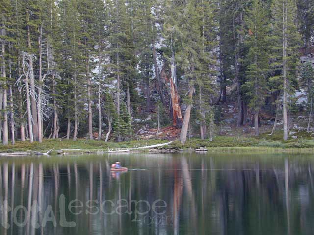
Lava Rock @ Blue Lake Loop, in Modoc County, CA
Blue Lake National Recreation Trail
Right next to camp: A pretty much perfect LAKE LOOP (1.5 mi) hiking trail is worth a serious stroll; footbridge, wildflowers, fishing spots, minimal hills, lava rocks, and awesome scenery. Plenty of wildlife can be seen, including butterflies and bald eagles. Trail is shaded by tall white fir and ponderosa pine trees. Trailhead is located at the Day Use parking lot, w/ paved boat ramp, dock, and picnic area.
back roads
boating
camping
canoeing
fishing
hiking
kayaking
mountain biking
picnicking
swimming
stargazing
wildflowers
wildlife
NOTE: not every CAMPSITE has a LAKE VIEW
Certain campsites are adjacent to the lake; some are set facing a meadow (Autumn w/ aspen groves), or the alpine forest w/ deer grazing. Perhaps an inner circle (interior) campsite, for those who like to be close to bathrooms and piped water. Large families will love the abundance of camp settings and accommodations.
Paved Loop Plenty of Vault Toilets Piped Water Recycles & Trash Service
Large Campsites can accommodate Motorhomes
no paved camp stall
no hook-ups
no dump station
no cell phone signal
popular lake camp for motorhomes
When driving a large RV back in here, be courteous of other campers. Nothing sucks more than driving a long distance to the boonies, to arrive at camp just before dark and annoying everyone else already there.
Those needing to drive the campground loops (more than twice) looking for the biggest, levelest, best camp site – and burning $10 in gasoline doing so, should consider walking in.
Park that beast (near boat ramp area, before the camp entrance). Get out and walk the hills and loops, BREATHE & relax – prior to a choosing camp site.
Unhitch any tow vehicles; use that to scout out your perfect spot, if you cannot hike it. Trailers and large motorhomes will find this place ideal, but getting the right camp, can make all the difference.
Paved Trail around Campground
The wildfire: BLUE FIRE burned this region in 2001, but it is lush and green again (2019). Northern California gets some real weather. Rain and snow, more than half the year. The campground closes annually due to snow.
Kayaking is best done in the morning, cuz wind picks up in the afternoon. Canoes can launch at boat ramp, or at shoreline from trails near campsite.
Hiking trails can be found all around lake and campground. Wilderness access can be found at South Warner trailheads within a short drive from the lake.
Cyclists also love this camp, as it is located near a major highway and is a perfect place to really relax, soak in the scenery and get some quiet-nights sleep.
South Warner Wilderness is close by, driving distance; accessible by graded dirt roads. Signage is decent.
Modoc Forest Road #64 is a through-route, across the lower South Warners – 40
miles connecting to east side of the mountain, at Eagleville, CA.
Dirt Roads are suitable for trucks w/ trailers. SUVs and rugged passenger cars are okay. Motorhomes are not advised on this route. Washboard conditions are typical. Winter closure on this route is common.
MODOC RD 64
Several miles away from Blue Lake, 2 rustic trailhead campgrounds are located back this way – East Creek Campground & Patterson Campground. Less than 10 camp sites each, equipped w/ horse stalls, vault toilets and maybe piped water. Trailhead parking for backpackers. No RVs!
Autumn colors w/ aspen groves. Open, large meadows and mature forests w/ wildfire scars. Cattle can be found grazing all around, many cattle crossing.
Minimal primitive camping options, along road sides. Campfire permits required. No camping within one mile of a developed campground.
Modoc is Cow CountryDay Trippin – Out exploring Modoc Road 64 (and cutting firewood)
Group Camping can be reserved at Whiskey Creek Group Picnic Area
3 group camping sites with excellent views of the lake and mountains, on the northeastern shore of Whiskeytown Lake.
Salmon River @ Somes Bar:
Oak Bottom Campground NFS
elevation 700′
26 sites
No electricity, water or sewer hookups
Six Rivers National Forest – Oak Bottom Campground loops around a forested hillside with large trees providing ample shading for multiple sites within the campground. A variety of wildlife makes its home in the area.
Located off the main highway, on a side road, with the epic Salmon River! This NFS campground is popular with whitewater enthusiasts in the spring. Rafters, kayakers. Many challenging rapids ranging from Class 3 to 5 are available. Swimming is also popular in the summer and numerous river access areas are a short drive or walk from the campground.
ADA Camping (Americans with Disabilities) Handicap accessible camp sites at Blue Lakes, near Hope Valley, CA
Blue Lake Campgrounds
highest lake campgrounds in the vicinity
Eldorado National Forest in Amador Ranger District; a forest south of Lake Tahoe in the central portion of the Sierra Nevada mountain range. This set of scenic, alpine lakes sits in between both Eldorado, Toiyabe National Forests and the Mokelumne Wilderness. But please take note that the Blue Lake facilities are owned and operated by utility company PG&E
No Reservations. most camp sites are available first-come, first-serve
RV limitations: 30 feet
69 miles east of Jackson, CA on Highway 88 and then another 12 miles south on Blue Lakes Road. This area is close to Hope Valley, south of Lake Tahoe, CA
Blue Lakes consist of several developed campgrounds. Blue Lakes Rd# 13 is a well signed, paved road off Hwy 88, just east of Carson Pass (8560′ elev). The route is closed during winter snow, while it serves as a winter recreation area. The main paved road becomes dirt near the campgrounds. A dirt road continues past the lakes and south to Deer Creek and meets w/ Hwy 4 near Ebbett’s Pass.
RV campers, fishing folks, hikers, kayakers and disabled travelers like this lake camp area due to the easy access, paved parking and campground amenities. Handicapped camp sites are also prime lake front locations.
Group Campgrounds are reservable. Picnic Areas, Group Sites and campfire rings. Piped water, bear boxes and vault toilets. No RV hookups, no dump station, no showers. Unimproved boat ramps are available at Upper and Lower Blue Lakes.
Upper Blue Lake Campground elev. 8136′
camp sites: 32
Overflow Camp camp sites: 34
Backpackers and day hikers: Sierra trailheads out here lead south into the Mokelumne Wilderness Area. The infamous Pacific Crest Trail also passes thru this high elevation region: PCT access @ Carson Pass, Upper Lake & Tamarack Lake
BLUE LAKE CAMPGROUND
NorCal region of the South Warner Wilderness in Modoc National Forest. That’s way out near Alturas. Likely, CA is the turn off US 395. Northeast California, real seclusion.
EASTBOUND Paved Road #64 is Jess Valley, which leads along the Pit River, cool volcanic cliffs, and up to forested Blue Lake Campground, elevation 6051′
Wildlife viewing @ Blue Lake Modoc
Donner Blue Lake
DONNER PASS – Sierra Nevada
Interstate 80 BLUE LAKE CAMPGROUND
i80 Donner Pass, near Truckee, CA; a PGE Campground w/ 4×4 access and hike-in only. First come, first serve. No tables or restrooms, elevation 5900′
Lake side resort w/ boat rentals and fishing, near Upper Lake, CA
elevation 1357′
A small resort w/ hotel suites and a lakeside setting w/ abundant nature. Two small lakes, kinda close to the highway. Non motorized boats only, kayaks, paddle boards, canoe, swimming, birdwatching, bike paths and fishing. Wedding venue next to lake. Wineries, restaurants, and a casino nearby.
Oak foothills of the Historic Gold Country, at the edge of the Sierra Nevada mountains.
boating
canoe
camping
fishing
hiking
houseboats
kayaking
wildflowers
Most Central Valley Reservoirs have blooming wildflowers in early springtime. Summer heat can measure triple digits for months as most of these lakes are located below 1000′ elevation.
Spicer Meadow Reservoir & more lakes: Paved Forest Rd #7N01
Spicer, Utica & Union Reservoirs, Central Sierra, Stanislaus National Forest
Stanislaus National Forest
North Fork of the Stanislaus River
Highland Creek
Carson Iceberg Wilderness Area
Spicer Meadow Reservoir (6418′ elev)
Union Reservoir (6850′ elev)
Utica Reservoir
Spicer Meadow Reservoir can also be found on various publications, listed as Spicer Meadows, Spicer Mdws, Spicer Lake and Spicer Reservoir.
Ebbett’s Pass is California State Route (SR 4) Highway 4, which cuts thru the middle of the Sierra Nevada mountains (east-west). Wilderness peaks and rivers surround this whole region. Deep snow pack is common, so much of this region is off-limits half the year (or more). Always check with local rangers by phone before venturing out, as winter conditions can keep these roads closed late into the year.
N of Arnold, California; Continue up SR 4. Passing Calaveras Big Trees State Park & Camp Connell; After Big Meadow Campground, take the paved right turn for Spicer Meadow; This is forest road 7N01. Meandering thru a forest and descending in elevation, road will dead end at Spicer Reservoir.
7N01, the main paved mountain road, is located on the south side of the highway. The highway turn off reads ‘Spicer Reservoir’. Suitable for travel w/ RVs and trucks with boat trailers. Quite curvy, scenic and about 7 miles long. There are developed campgrounds in the vicinity.
The dirt side roads off the pavement can be narrow, muddy, rocky and overgrown, so be cautious when exploring. Choosing a dispersed camp site should be done during daylight hours, and will require a campfire permit ahead of time. Use an existing camp site whenever possible, instead of creating new ones.
Several man-made reservoirs attract outdoor seekers, mountain bikers, campers, canoes and fishermen. Kayakers tend to love Union and Utica, but power boats and sail boats prefer Spicer Lake.
Volcanic features mix with Sierra granite in this part of the forest, and geologic formations make for interesting hikes. Mountain biking is common around these lakes, as well as day hiking and backpacking.
NFS Campgrounds in the region:
Stanislaus River Campground
Spicer Campground
Spicer Group Camp
Campgrounds only open June-September. Some campsites at the campground are wheelchair accessible. Boat ramp located near campgrounds.
Left fork turn off, Dirt Road #7N05 leads out to Utica & Union Reservoirs. Granite rock, alpines lakes w/ forests surrounding. No motorized boats allowed on those two lakes. Very popular among the stand up paddlers (SUP), all kayaks and canoes.
No developed campgrounds back that way either. No flush toilets, nor paved roads. No flat RV spots; only primitive style camping. These 2 scenic lakes get crowded during summer weekends, so opt for a mid-week stay if possible.
Another dirt road treks steeply up the hill from Union Reservoir to Lake Alpine (at the highway). That primitive truck trail is actually a (somewhat designated, but not well-signed) 4×4 route and suitable for high clearance vehicles only.
Spur Road #7N29Y is another small dirt road which leads a couple miles into the forest, over to overgrown trailheads and primitive camping options. Ideal for accessing all the lakes (on foot) from this prime location. A camp fire permit is required. No water, no bathrooms, no facilities, no garbage services.
7N01 – Los Padres NF
There is another USFS Road in California named 7N01, but that one is a 4×4 OHV access route @ Dutchman Campground, located in South Central California; the southern part of Los Padres National Forest. We have mention of it on the page for Frazier Park Camping.
A decent list of California Lakes, Reservoirs and Ponds, in the Sequoia region of the Southern Sierra mountains ….spanning from the Kern River to the Kings River. Some are well known recreation lakes with boating available, while others are secluded lakes or small ponds. Enjoy nature – it’s free!
All the hikes listed here are to super remote alpine lakes w/ granite mountain peaks all around. The Sierra gems are located in the steep, granite, high altitudes, that require hours of strenuous hiking and backcountry skills. These are not paved granny trails by any means. They are the total opposite.
Long, steep trails, with the freshest thin air. Know your physical conditioning (or lack thereof) before taking on a 10 mile day hike. It will wipe you out!!! Backpackers should obtain a wilderness permit before venturing overnight into the back country.
Lodgepole Lakes in Sequoia National Park.
Beyond the waterfalls, in the high country backpacking or day hikes –
Moose Lake
Big Bird Lake
Pear Lake
Heather Lake
Aster Lake
Emerald Lake
Kings Canyon Lakes, Kings Cyn NP at the very end of Hwy 180.
Backpack or day hike trails, from moderate elevation canyon to alpine high country w/ rivers, waterfalls and lakes –
Awesome granite domes of the western Sierra, plus a scenic recreational lake that is only accessible half the year. Home to “Hells Half Acre” – Mammoth Pool Lake is one of the lesser known reservoirs in the western Sierra Nevada mountains. It’s kinda hard to get to although it is located on the border of Yosemite National Park. Area is totally surrounded by granite creeks, hiking trails, dirt roads and wilderness. This Mammoth Pool is an hours drive, way back behind Bass Lake (off Highway 41), and NOT located near Mammoth Lakes in the Eastern Sierra.
Camping just outside of Yosemite. Although the National Park boundary and trailheads are near by, accessing Yosemite Valley for day trips from this location will be quite tiresome and difficult, with long winding roads and over 2 hours drive one way. Better to camp near Bass Lake if you wanna be convenient to Yosemite NP.
(loop road, backcountry route closed in winter months)
Near the town of Oakhurst and Bass Lake California, get off the main highway and head over to the small town of North Fork. Take South Fork Road 225 (Italian Bar Rd) to Minarets Road (#81) also called Mammoth Road. Side trip paved Auberry Road (#222) which skirts oak hills down to Redinger Lake Road. Hook up w/ Minarets Road (#81) that parallels the San Joaquin River on the forested ridge above, traveling 20 miles to Numerous developed campgrounds and primitive camping sites off this route. Mammoth Pool is a signed right turn down Mammoth Pool Road, a steep road w/ a couple of campground near the lake shore and the only public boat launch is narrow, one at a time and it is not paved.
The lake is closed to the public during May and the first half of June to allow migrating deer to swim across the reservoir. The reservoir is inaccessible following the first snowstorm, as the access road is not snowplowed.
Grizzly Road, a paved route that leads deeper into the woods and connects over to BEASORE. Back on the main route (Road #81) on the far north end of the loop, a narrow, paved side route connects Clover Meadow Ranger Station and the impressive Granite Creek Campground. Plenty water and hiking trailheads that lead into Ansel Adams Wilderness and Yosemite National Park.
Back on the main route (Road #81) – the pavement becomes dirt in some sections and the route loops down to Beasore Road (#7), which traverses past meadows and dense forest, and heads back towards Bass Lake.
backpacking, boating, camping
fishing, water ski, kayaking
sailing, swimming
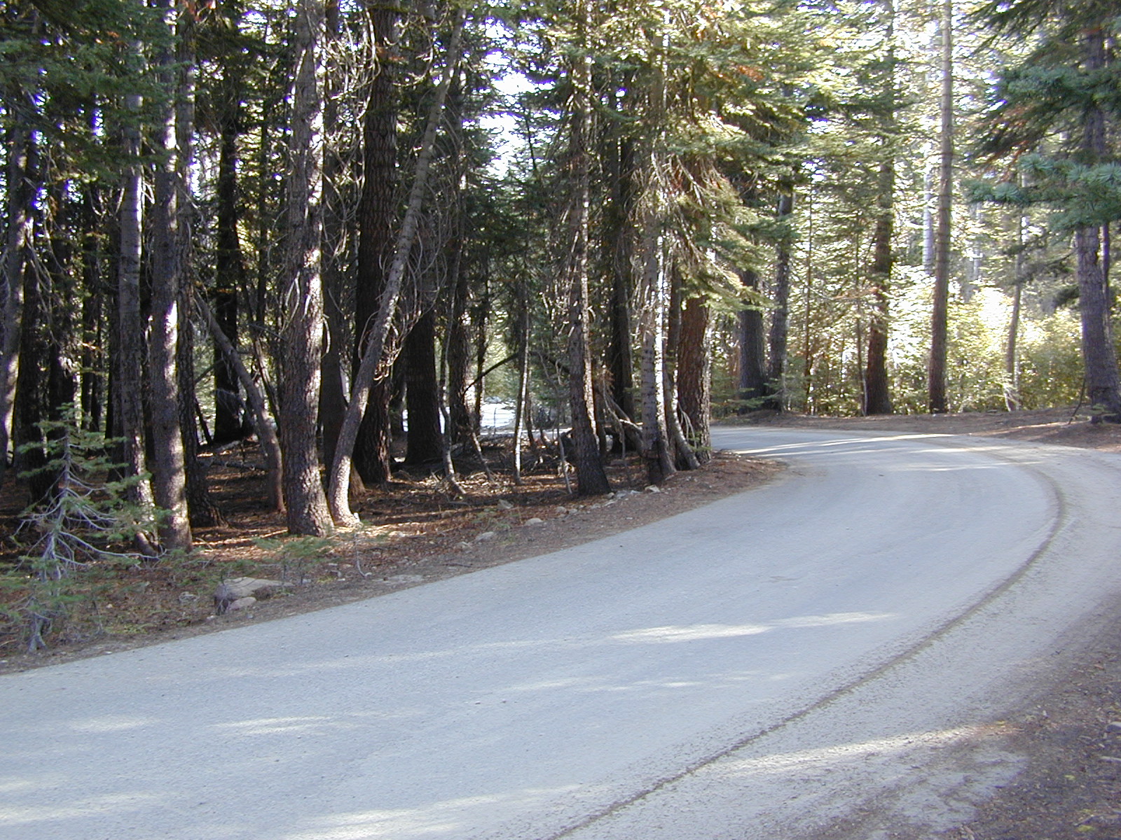
Lake Davis Loop is a 20 mile circle around the lake. Drive or mountain bike route. Scenic drive on dirt roads, or an easy bike ride. Average ride time 2 hours for biking.
A flat, easy loop around Lake Davis is best in summer months, as snow usually closes this area in winter. The whole route is a mix of paved, dirt and gravel road. There are picnic areas along the way, lake views, bird and wildlife viewing, wildflowers.
Numerous primitive camp sites and secondary dirt roads fork in various directions, off of this main loop. Volcanic ridges line the west side of the lake, dense forest and seclusion can be found all around. Bald eagles fly overhead and wild life is abundant.
boat
camp
fish
hike
mountain bike
stargaze
wildlife
CROCKER GUARD STATION
Crocker Station is for rent and reservations are required. This wooden 2-story home was built in 1912 for Forest Service personnel, and later staffed as a fire station until the 1980s.
Situated at 5700′ elevation, its alpine beauty and cooler temps make it a much sought after, especially in summertime. Located a few miles from the lake and 10 miles northeast of Portola, California. There is a small campground next door called Crocker Campground. A dirt road access to Crocker Meadow is quickest from lake, but the paved route around is longer.
DIRECTIONS:
From California SR 70 (Highway 70) in Portola take West Street approximately 7 miles to the Lake Davis Dam. Park at the information kiosk and get acquainted with maps and the area info.
Drive or bike the lake loop. Travel 1.7 miles west to Forest Service Road 24N10, travel on that for 8.1 miles until you reach the junction with County Road 112. Then turn east and continue around the lake, past the Grizzly Campground a half mile, turn South on Country Road 126 and continue back to the dam.
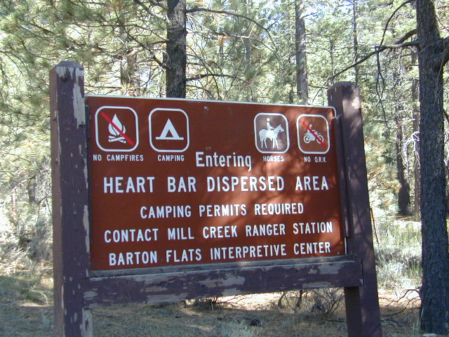
Heart Bar Camp: Forest Road #1N02 – San Bernardino National Forest
Heartbar Campground, Heart Bar Horse Camps, RV Dispersed Sites, Coon Creek Cabin. SE of Big Bear Lake; Hiking & Equestrian Trails
Hwy 38 , the long way into Big Bear Lake, up thru Angelus Oaks CA. Heartbar Campground is a developed recreation area, right up front. 94 camp sites, plus the recreation all around. Big equestrian area.
HART BAR: Heart Bar is large pine valley w/ alpine meadows, great camping, San Gorgonio looms overhead with ridges of 10,000′ elevation.
free, dispersed, primitive camping
in Southern Cal
HEART BAR DISPERSED AREA
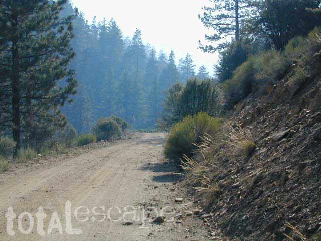
Forest Service Rd #1N02 – the dirt road is graded & maintained, about half the year. Primitive camp sites require permits; see local rangers. Many forest roads can close due to heavy snow, big rain or rock slides. Best traveled in the warmer months. Winter can be questionable with open gates and road access.
Large open sites, with tables & moderately level dirt access. Seen RV campers way back here. RV’s beyond 30′ are not recommended. At end of this 5 mile dirt route is a hiking trail to Big Morongo Canyon & a really neat historic place called the Coon Creek Cabin.
Totally worth a visit, if you plan on driving to the end of the road – just for the heck of it. Cabin area can be reserved for small group camping in summer months.
Indian Rock is a beach (day use only) on the west side.
Bucks Lake, California
Below is a list of all the developed campgrounds & RV Parks surrounding the Bucks Lake region of Plumas National Forest in the Northern Sierra Nevada mountains. The infamous Pacific Crest Trail (PCT) runs through Bucks Lake Wilderness, so there are also trailhead camps and backcountry camp sites that are not in this list. This high elevation region closes the campgrounds for winter: NOV- APRIL
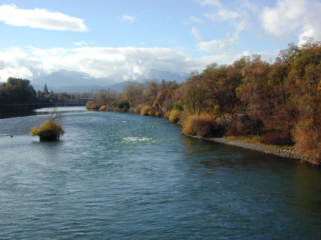
The main artery from the North; the Big River of California
Mighty Mount Shasta snowmelt flows south, bound to meet the giant Lake Shasta, which merges with the Pit River and numerous other major waterways, becoming the big Sacramento River. Running right down the center of the North Sacramento Valley to merge into the California Delta. Shipping channel links the State Capital city of Sacramento with the San Francisco Bay and the Pacific Ocean. Agriculture and wildlife depend on this river heavily.
Sacramento River National Wildlife Refuge
Willows, CA
~ Camping is not permitted on the Sacramento NWR. Along the Sacramento River, camping is permitted on GRAVEL BARS for up to 7 days during a 30 day period. For waterfowl hunting, overnight stay is permitted in a vehicle or RV in designated areas. Tents are prohibited. No person may build or maintain fires except in portable gas stoves.
Nothing beats fresh, cold, clean water from the California mountains, in the summertime. Find time to exit the urban rat race, soon. Escape the smoggy city life and the triple-digit heat for a road trip to the higher elevations.
Crocker Mountain @ Lake Davis, California
Lake Campgrounds are abundant in California, where man-made reservoirs and recreation abound. Alpine lakes in pine forests are also numerous in the west, although only accessible for a portion of the year, they draw in the campers all summer long. A majority of the small lakes are located inside the California National Forests.
USDA / USFS / NFS
Larger reservoirs can often be managed by California State Park system. State Parks, SRA, State Recreation Area. Suburban lake locations can be local County Parks. A few locations listed could even be desert lakes.
Many ideal secluded lakes are only accessible with a 4WD vehicle, by foot or horseback. Super scenic, backcountry lakes are so far out – that a day hike is usually required.
developed campground
primitive campsites
RV campground
wilderness access
No motorized boats, camping on west shoreline only, no fishing from the dam, catch & release?
No access for trailers? Individual rules for each lake are different. Learn the basic before you get out there.
CAMPGROUND RESERVATIONS
Lake Campgrounds are so popular in California that many require reservations during summer. Many locations accept reservations online and we have links for those too. Other lakes are so small and remote, that only the fishermen, hikers and 4×4 gear-heads know of them.
outdoor recreation found at or near lakes
backpacking
boating
camping
canoeing
creeks
fishing
floating
four-wheelin
hiking
horseback riding
house boating
jetski
kayaking
mountain biking
OHV trails
picnicking
rivers
river rafting
swimming
water skiing
waterfalls
Lake destinations listed here have some sort of campground facilities. Some may be mini resorts with boat launch, marina or bait shop/general store. RV hook-ups, maybe. Dump station, it will cost you. Usually these bigger lakes are busy centers of tourists activity with boat rentals, RV camping and certain locales are even walking distance from ‘town’.
Fine dining is a rare find on the lakes, but some lake side restaurants (open seasonally & with limited hours) can be found. Most will require reservations, especially on the weekends.
Other lake camps listed are literally on the edge of wilderness – with trails to the high country. The best little lakes will have one dirt road access. Below is a wide variety of lake destinations within California.
Mojave Reservoir @ Colorado River: AZ / NV / CA
@ the V, bottom of Nevada state = Arizona – Nevada – California, all merge together
The Colorado River travels through the southwest desert, splitting the Grand Canyon and further south, separating California from Arizona at the southern tip of Nevada. Agriculture lines the big river down to Baja, Sea of Cortez, Mexico.
Up near Las Vegas and down to Searchlight, NV
Above Hoover Dam is Lake Mead, sediment from Utah National Parks. Red dirt and silt shorelines. South of Hoover dam is a super deep rock gorge w/ hike-in hot springs. Beyond that, this beauty called Lake Mohave – with the super clear water, secluded coves and abundant fishing.
Lake Mohave: elevation 647′
Desert peaks in this region are around 2000-3000′ elevation. Mohave Lake is actually a wide section of the Colorado River, spanning the region from massive Black Canyon south to busy Laughlin w/ river casinos. This lake is long and skinny in spots with lots of shoreline cliffs, canyons and coves. Minimal vegetation, so please bring your own firewood and don’t chop down the few trees trying to survive. Summer temps exceed 100 degrees, so plan your visit for the winter time.
Lake Mohave Ranger Stations
Cottonwood Cove
Katherine Landing
boating, camping, fishing, hiking, hot springs, kayaking, off-road, picnics, viewpoints
El Dorado Canyon Road, main paved route can be accessed near California’s state border. North of Searchlight, Nevada – off main highway 95, on side route 165 to Nelson, NV
Secluded dirt roads up and down canyons near El Dorado Canyon Rd. Minimal vegetation, maximum open scenery and dark skies. Kayak rentals @ El Dorado Canyon.
desert badlands erosion
Ireteba Peaks Wilderness
4×4 camping routes: 15 day camping limit
Find your own route with many to choose from, drive the soft sandy washes (with a few boulders to dodge) and camp for free, right at the waters edge. Adventurers: Only for the self-contained campers. Some routes marked 4WD only, so pay attention to signs. AWD (all wheel drive) vehicles should fare well on the sandy roads; but standard passenger cars and vans will need to keep their speed up in the soft sand areas.
No garbage collection. Pack it in, pack it out.
No facilities, no fees. No buildings. No campfire rings, no picnic tables, very few vault toilets. Bring your shovel!
Driving off the roads is strictly prohibited. Primitive camp sites can be found both at numerous coves and also inland inside the canyons. The ridges get windy in the deserts, but are favorable for night sky views and self contained camper vans.
Always know the weather forecast, cuz flash floods are possible and these dirt roads will be impassible during big rain. This is the main drainage to the big river!
DRIVING TIPS
Most desert washes here are signed routes 4×4, but mini vans, AWD sport-wagons, trucks, SUVs, small RVs can all be found camping near Lake Mohave. That is – if you know how to ‘drive off road’, which is not fast, but not too slow either.
Avoid getting stuck in the deep sand: keep speed up, do not turn sharply and do not brake hard. Carry tow strap in case you need an emergency pull. Be nice to strangers and you may find help.
Campfires are allowed, but you need to bring firewood. Dogs are allowed. Party animals tend to trash these desert coves, so be warned that there is a fair amount of litter. Bring a black trash bag and take some out! This trash problem could get the area closed off to vehicles so keep that in mind.
The canyons here have giant power lines that cross @ Aztec Wash; they can easily be avoided.
4×4 recommended @ MOHAVE:
Eagle Wash Road #46 – popular spot
Montana Wash #45 – camping ok
Placer Wash #47 – no camping
The rangers don’t wanna be pulling your ass out of the sand, which is why they post the 4×4 signs. Don’t expect to find help without walking a few miles first, or waiting several hours.
desert wilderness
Several wilderness areas are located along the west side of this lake & river. Often dirt roads will parallel a portion of the wilderness boundary, providing excellent access to secluded coves and beaches. Emergency CALL boxes are placed in remote parts of these shores.
Ireteba Peaks Wilderness (northwest, next to El Dorado Canyon)
Nellis Wash Wilderness (western side)
Spirit Mountain Wilderness (southwest)
Bridge Canyon Wilderness (southwest, near Laughlin)
COTTONWOOD COVE
developed campground, boat launch, marina, lodging, hiking, picnic areas
LAUGHLIN, NV
Nevada, California and Arizona states join down in this part of the world. Katherine Landing, full service marina, slip rentals, lodging, city services and casinos.
Mojave Desert – This river-created lake is located on the Colorado River, in between Las Vegas, Nevada and Needles, California. The river water here is crystal clear, very swimmable and the fishing is decent. No paved boat ramps
nearby towns: (with elevation)
Avi Casino
Bullhead City, AZ (540′)
Laughlin, NV (535′)
Kingman, AZ (3340′)
Needles, CA
Nelson, NV (2954′) Nipton, CA (3042′) Oatman, AZ
Searchlight, NV (3470′)
California Sierra Lakes Sierra Lake Destinations Sierra Lake Campgrounds
One of the best physical features about California is the amount of lakes and reservoirs it holds – in the mountains, foothills and the canyons, throughout the state.
recreational lakes – Huge, dammed reservoirs to the secluded, alpine lakes in the high country and all the variations in between.
There are literally thousands of lakes located within the Sierra Nevada mountains and it would be ridiculous to try to list them all here. Many of them can only be reached by hiking into Wilderness.
Most California lakes are popular and well known recreation spots, but others are secluded – if you drive far and long enough back on the dirt road. Some do not allow motorized boats and most do allow fishing and swimming. Some have campsites on the waters edge, while other camps are up on a hill over looking the lake.
Below listed are some Sierra lakes that allow camping on the lakeshore or nearby. Most campgrounds are suitable for RVs, tent camping, and some may require 4 wheel drive to reach them.
In the hills and canyons above Chico many wonders can be found. North Sierra Nevada mountains, medium sized recreation lake surrounded by lush forest; N of Lake Oroville and S of Lake Almanor. North Fork Feather River canyon forms the northern boundary to this designated Wilderness Area. The area is popular with backpackers and PCT hikers, as well as equestrian and the region has over a dozen campgrounds. Backcountry terrain includes an impressive 6 mile long canyon wall.
The popular boating destination, Bucks Lake reservoir, is just outside the wilderness boundary, which makes for an excellent destination for day hikes. Boating, fishing, backpacking, hiking, camping, canoeing, kayaking, rock climbing, snowmobiling and mountain biking are just some of the outdoor recreation in the area. This Wilderness region features a Silver Lake and Gold Lake, as well as numerous other small, unheard-of lakes. A few can be accessed by vehicle, but more than half are hike-in only lakes.
backpacking
boating
cabin rentals
camping
canoeing
fishing
floating
hiking
kayaking
sailing
swimming
Bucks Lake Wilderness
23,958 acres
5200′ elevation at Bucks Lake
Alpine wilderness, mountain peaks, hiking trails, PCT trailheads, numerous small lakes, plus large recreational fishing lake
Bald Eagle Mountain – 7183′
Bucks Mountain Peak – 6819′
Mount Pleasant – 7067′
Small lakes around the Bucks Lake Wilderness Area
Bald Eagle Lake
Blue Lake
Cape Lake Gold Lake
Grassy Lakes
Jacks Meadow Pond
Kellogg Lake
Lost Lake
Mud Lake
Rock Lake Silver Lake Snake Lake
Smith Lake
Thompson Lake
Three Lakes
Upper Mud Lake


 Right next to camp: A pretty much perfect LAKE LOOP (1.5 mi) hiking trail is worth a serious stroll; footbridge, wildflowers, fishing spots, minimal hills, lava rocks, and awesome scenery. Plenty of wildlife can be seen, including butterflies and bald eagles. Trail is shaded by tall white fir and ponderosa pine trees. Trailhead is located at the Day Use parking lot, w/ paved boat ramp, dock, and picnic area.


 Grizzly Road, a paved route that leads deeper into the woods and connects over to BEASORE. Back on the main route (Road #81) on the far north end of the loop, a narrow, paved side route connects Clover Meadow Ranger Station and the impressive Granite Creek Campground. Plenty water and hiking trailheads that lead into Ansel Adams Wilderness and Yosemite National Park.


 CAMPGROUND RESERVATIONS