Tag Archives: fall colors

Rock Creek California

rockycreek

Rock Creek, CA
California Rock Creeks

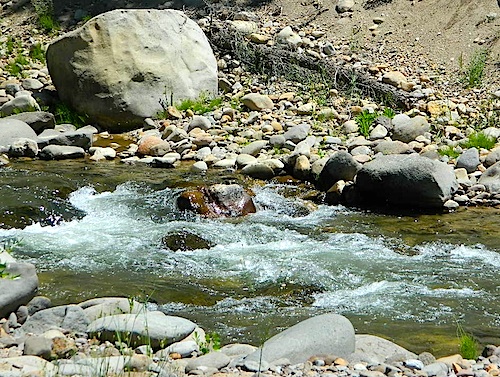
Due the nature of gravity, erosion and heavy rocks, creek beds tend to be rocky ravines near mountains – which collect rocks as they slide downhill. Creeks work as water drainage off the mountains. Inside California we have plenty of mountain ranges and plenty of movement, as the Pacific plate plows into North America, tectonically speaking.

How many Rock Creeks are inside the golden state of California? Heck, I dunno. Let’s try to find them all.

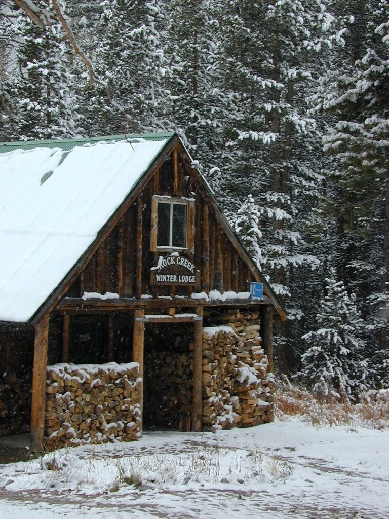
winterlodge

Probably the best known, is the one near Mammoth Lakes, CA

Eastern Sierra

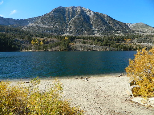
Small Beach at Rock Creek Lake

Rock Creek @ Mammoth

Rock Creek Road, Eastern Sierra
Inyo National Forest
Road #4S12
ROCK CREEK LAKE
NFS CAMPGROUND (9600′ elev w/ 66 sites)
GROUP CAMPGROUND (reservations required)
RESORTS
CABIN RENTALS
Road #6S05
WILDERNESS TRAILHEADS – Mosquito Flat, Little Lakes Valley Trailhead, Mono Pass, Morgan Pass, John Muir Trail (JMT), Pacific Crest Trail (PCT)

US395

US 395 @ Rock Creek exit is Toms Place, CA
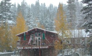
rockcreeklakeresort

fallflames
Eastern Sierra Rock Creek Rd
ruggedwalls
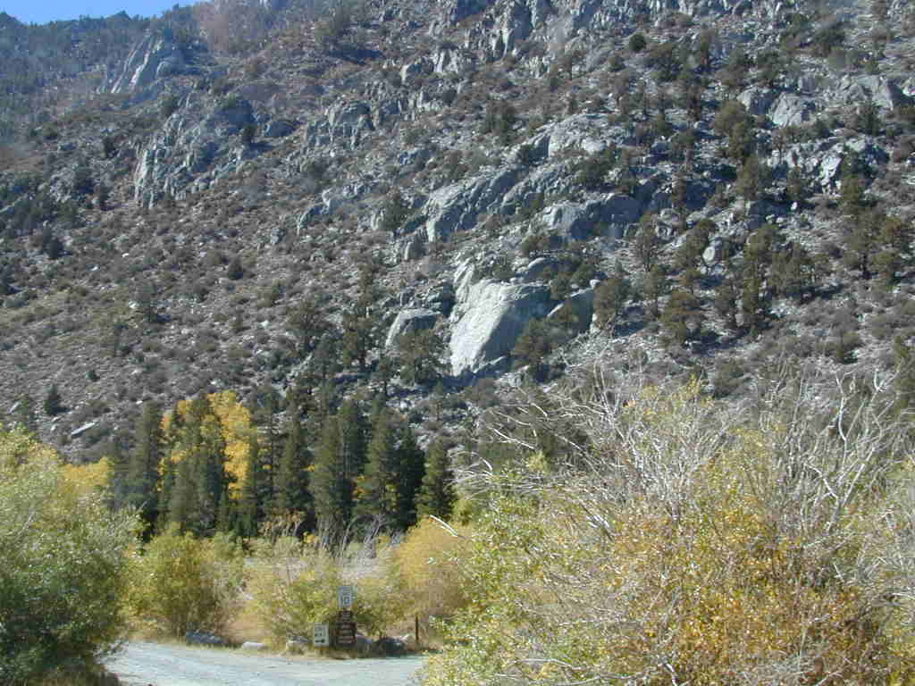
Rock Creek Canyon, Eastern Sierra

driftwood

Northern Sierra

camp

Plumas National Forest – west of QUINCY, CA
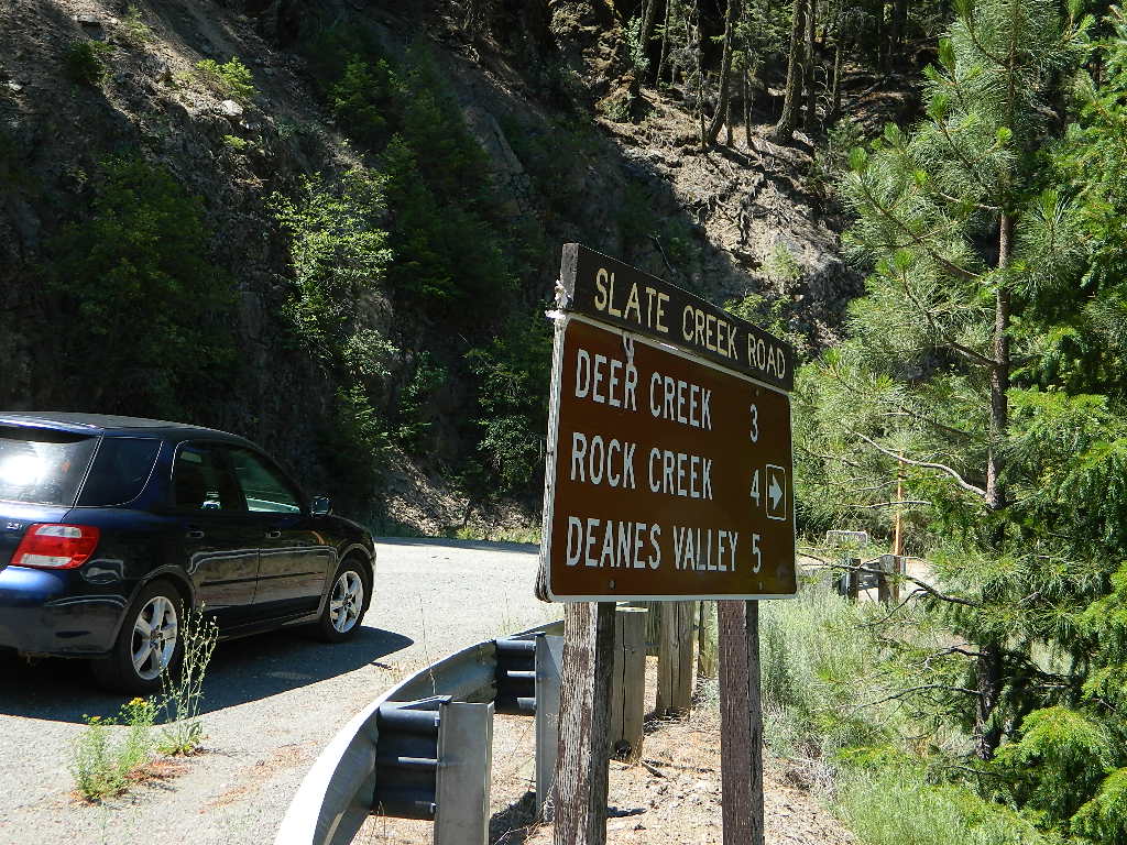
Dirt road campground

NFS Rock Creek Campground @ Plumas, located on a dirt road #24N28, off of paved Bucks Lake Road

NFSlogo

DIRT ROADS
MEADOW
CREEK

nearby WILDFIRE BURN SCAR

hiker

Feather River Canyon

Rock Creek, Highway 70
North fork Feather River

Large feeder creek from the north side of highway (California SR 70), in Plumas National Forest. Located in the popular railroad canyon known as the Feather River Canyon. Right here Rock Creek even has a reservoir.

Sugar Loaf Mountain elev 3553′ with Tobin Ridge line each side of Rock Creek as it descends the mountain tops. The junction where the creek meets the big river is just south of Bucks Creek Power Station @ STORRIE, CA. The overall location is half way in between OROVILLE, CA and QUINCY, CA

driftwood

Western Sierra

Off Road Gold Country, Sierra foothills

Rock Creek, Western Sierra4x4
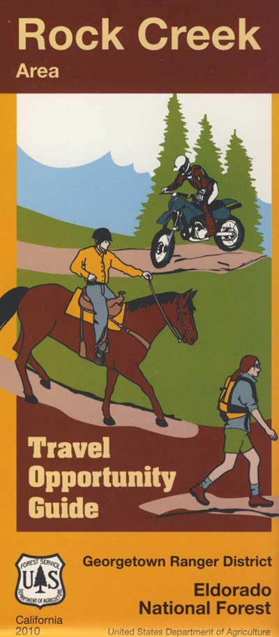
Eldorado National Forest
HIKING & HORSEBACK
OHV TRAILS
4×4 CAMPS
Georgetown, CA
RUBICON TRAIL @ LOON LAKE

RockCreekOHV


driftwood

Southern Sierra

How can we forget creek camping & trail access south of Shaver?
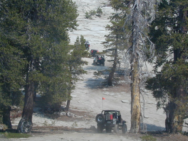
bald mtn
Jeepers on granite @ Bald Mountain, above Shaver Lake, CA

Shaver Lake, Sierra National Forest

Rock Creek Road, Southern Sierra
Dinkey Creek Area
Sierra National Forest
PRIMITIVE, DISPERSED CAMPING
4×4 TRAILS
BALD MOUNTAIN elev 7832′
DINKEY DOME elev 7697′
DUSY IRSHIM TRAIL
Shaver Lake, CA

driftwood

But wait, we have more California Campgrounds named Rock Creek

camp

Mammoth Reservoir
Mammoth Pool Reservoir

Rock Creek Campground – Mammoth Pool Reservoir, south of Yosemite National Park, behind Bass Lake, CA Sierra National Forest (18 camp sites)

Rock Creek Campground – US Hwy 101 NorCal Redwood forests, north of Leggett, CA. Camp located on the Eel River, in the Standish Hickey State Recreation Area. (36 camp sites)

Also the is a small ROCK LAKE located inside Lakes Basin Recreation Area, northern Gold Country @ Yuba River headwaters. Hike-in access only.

Rock Front OHV

Similarly named ROCK FRONT RANCH is 4×4 trails & 4WD camping area. Cool wind caves, super steep driving terrain (Granny low anyone?) and of course, wildflowers.

Los Padres National Forest 

Off Highway 166, east of the city of Santa Maria & US 101 – on the Central Coast of California. Way back there, at the edge of the forest, behind the wineries!
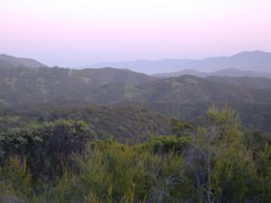
Rock Front Los Padres
Rock Front Ranch in Los Padres NF

dirtbikes


McGee Creek Campground

McGee Shade

NFSlogo

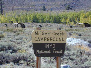
McGee Creek Campground NFS

near Crowley Lake, CA
Inyo National Forest Campground, Eastern Sierra Nevadacamp

• Elevation: 7600′
• Number of Sites: 28
• Vehicle Accessibility: RV 22′
• Camp Fee: Yes
• Campsites Reservation: Yes
• Length of Stay: 14 Days
• Season: May – September
• Trailheads: McGee Creek, John Muir Wilderness

mcgee camp sign

Mc GEE CREEK CAMP is located –
8 miles north of Mammoth Lakes exit
4 miles from Lake Crowley
2 miles from McGee Creek Canyon trailhead

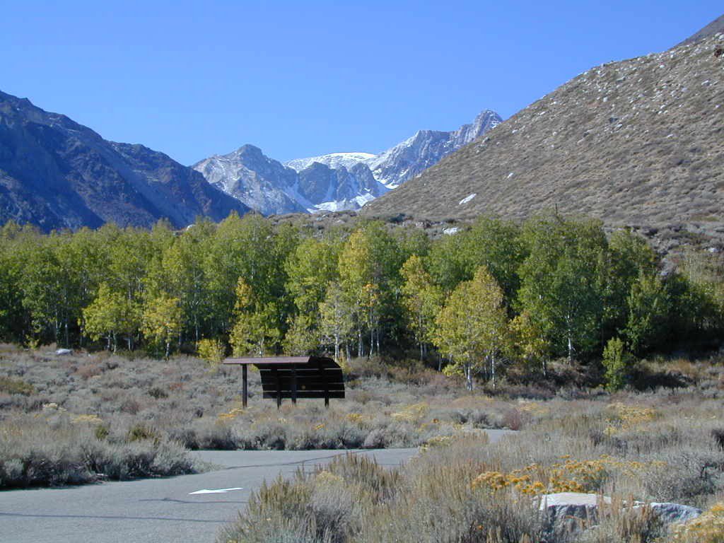
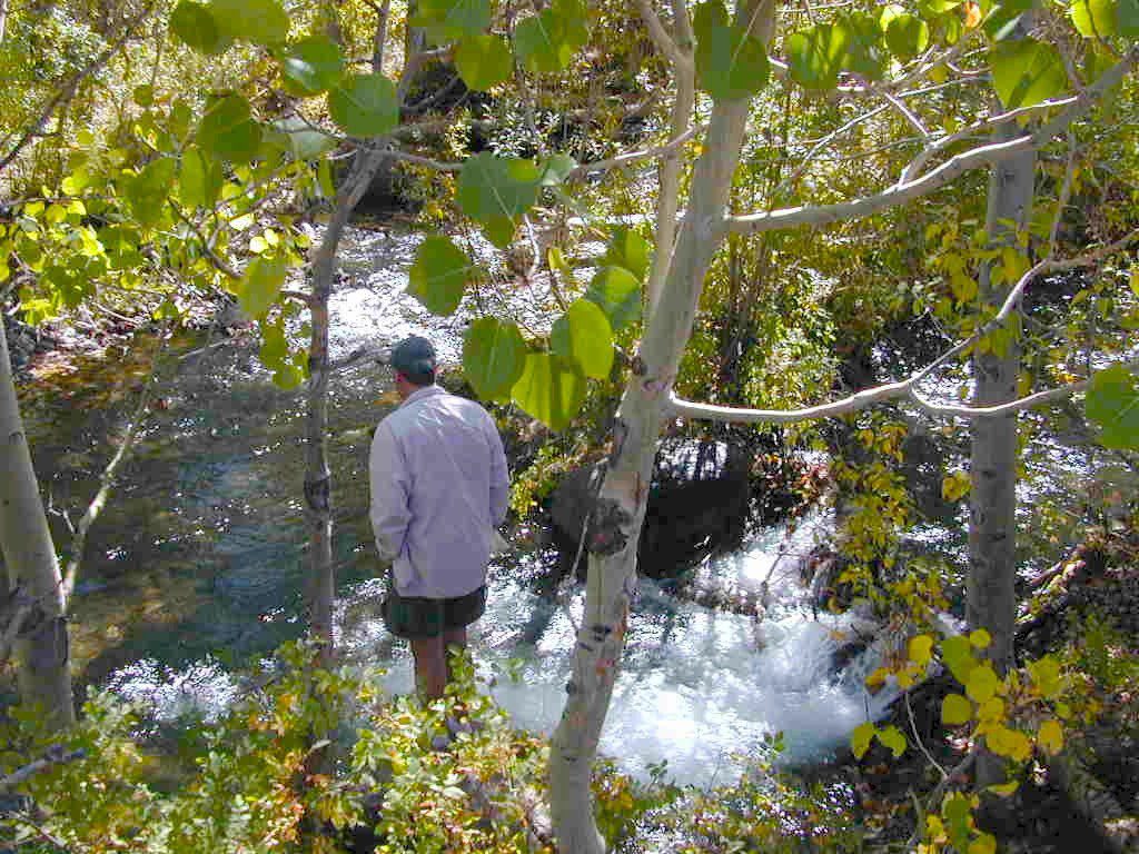
Aspen trees line McGee Creek that flows down from the Eastern Sierra peaks. Autumn is short and sweet, when the fall colors come and go – usually within a week or two. First snow fall of the season is generally in October and the camp closes for the winter season.

Located about a mile away from Highway US 395 in the wide open high desert. Sage meadows w/ minimal trees at camp. USFS has built shade structures for each camp site, so your time here is not spent in direct sunlight. Summer can get hot  and it can also be quite windy at this location.

  • backpacking
  • camping
  • fishing
  • hiking
  • mountain biking

mcgee creek

more McGee?

Closer to US 395 highway, there is a McGee Creek Lodge & Restaurant, right along the frontage road (Crowley Lake Drive).

And also, a more commercial camp called McGee Creek RV Park & Campground at the junction of McGee Creek Road.

Tahoe Lake Map

Tahoe Maps: trail maps

lake camp, hike, mountain bike, off-road, ski, snowmobile

Tahoe Trail Maps / Tahoe National Forest

tahoe hiking maps

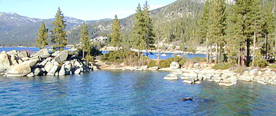
Numerous State Parks dot the shoreline at Tahoe, while the National Forest lands and Wilderness Areas span most of the peaks above. Camping, backpacking, boating, kayaking, fishing, climbing, mountaineering, mountain biking, snow skiing, snowmobiling are all popular recreation in this Sierra region. US Highway 50 and Interstate 80 are the main western access routes to Lake Tahoe. US Hwy 395 leads to Tahoe, up from the Eastern Sierra and Southern California.

Wanna find every waterfall or every creek to fish? This is the place that will help you find them. Easily, with good old fashion printed maps. Hard copies, some waterproof & tear resistant, most with topographical data and all roads, trails, campgrounds and parks. Whether or not you water ski or cross country ski, these maps will save your ass – when you are way back there in the boonies.

Tahoe’s Rubicon Trail connects the historic Gold Country to the alpine lake via granite wilderness sky ways above 7000′ elevation, but a real 4×4 and overnights are required. The back roads and trails are endless in these parts of the Central Sierra Nevada mountains.tahoe maps

keep tahoe blue

Nearby attractions surrounding Lake Tahoe –

Tahoe National Forest
Tahoe Rim Trail
Rubicon 4×4 Trail
Lakes Basin Recreation Area
Sierra Buttes
Desolation Wilderness
Grover Hot Springs
Blue Lakes
Hope Valley

cabin rentals