Tag Archives: Sequoia groves

Closed Indefinitely

UPDATE SEPT 20, 2021
California National Forests, most have re-opened.
See Sequoia Wildfires & Closures

pinetree

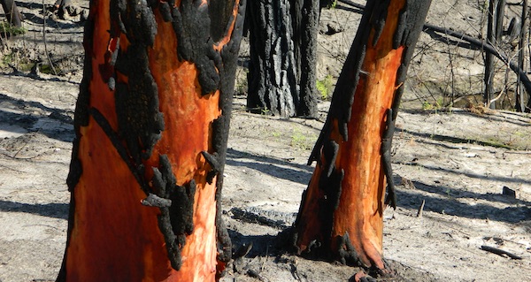
Twenty five years ago, when I began this outdoor web site for California, did I ever imagine ‘times like these’ – where we would be held up inside our homes during summer, as annual wildfires destroyed our vast and beautiful forests. Frightened to breathe the toxic, smokey air outside. Saddened by news of yet another town or historic structure burning to the ground. Checking the destruction daily online, in hopes of more containment, fresh photos or any good report.

Now I fear Total Escape  may become photographic documentation of how beautiful California once was.
burnt forest

wildfire closures

Most California National Forest are currently closed!

Lassen Volcanic National Park is CLOSED due to damages from the Dixie Fire.

In case you missed it: 2020 was the worst year for wildland fires in California history, but 2021 is shaping up to be just as bad. Many forests, roads, trails, campgrounds and parks listed below have been closed to the public for the 2021 season, and possibly longer.

BIG SUR COAST
Julia Pfeiffer Burns SP
Prewitt Ridge
Nacimiento Road
Lucia Restaurant
Tassajara Canyon

SANTA CRUZ MOUNTAINS
Big Basin Redwoods SP
Butano Redwoods SP
Boulder Creek, CA

NORTHERN CALIF
Armstrong Redwoods SP
Austin Creek SRA
Mendocino National Forest
Lake Berryessa
Mad River / Ruth Lake
Forest Glen, CA
Salmon River
Six River National Forest
Snow Mountain Wilderness
Yolla Bolly Wilderness
Lassen National Forest
Lassen Volcanic National Park
Caribou Wilderness
Lake Almanor
Feather River (North Fork)
Susan River (near Caribou)
Trinity Alps Wilderness
Trinity River (W of Weaverville)

SIERRA NEVADA
Alta Sierra
Balch Park

Berry Creek, CA
Bucks Lake, CA
Butte Meadows
Caldor
Consumnes River
Dinkey Creek
Eldorado National Forest
Feather River (Middle Fork)
Huntington Lake, CA
Indian Valley
Greenville, CA
Mammoth Pool Reservoir
Mountain Home Sequoia
Plumas National Forest
Sequoia National Forest
Sierra National Forest
Shaver Lake, CA
Shirley Meadows
Silver Fork
Western Divide Highway
22N82 Forks of the Kern
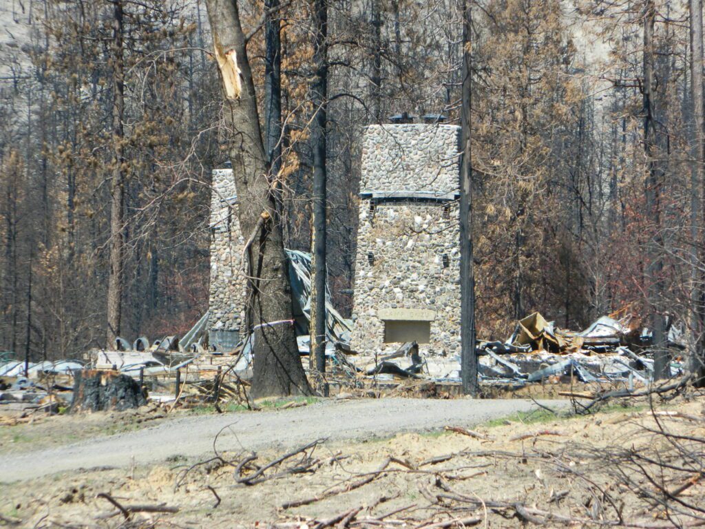
aftermath
Camp Okizu

camp

Expect that campfire rules will be tighter in the future, overall. Campfires will likely be restricted to ‘only inside developed campgrounds’. Or only allowed during the wet season on the backroads or in the backcountry.

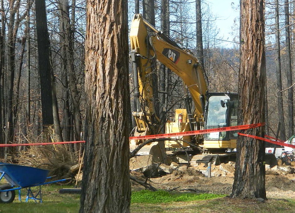
campfire

hazmat
My Front Yard (literally)

*Unfortunately, this is not a complete list of all the closures inside California parks and forests. I am adding more to this list, as more places burn. This page is a work in progress for autumn 2021
58 counties
58 Counties in Calif

Kern River Canyon

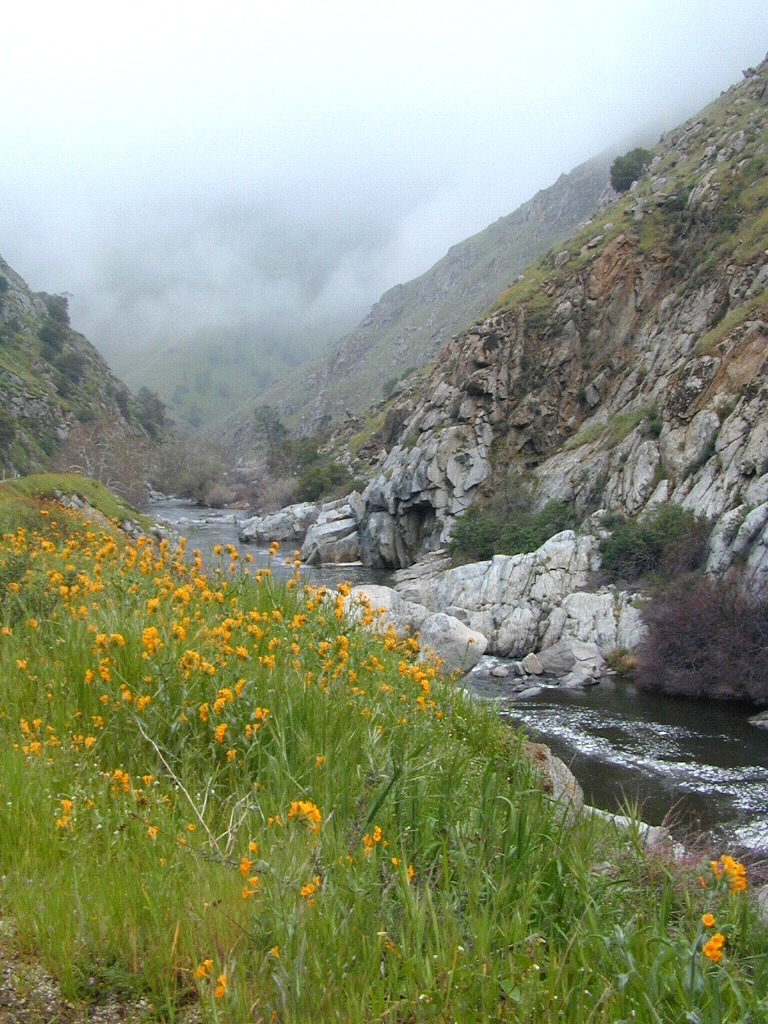
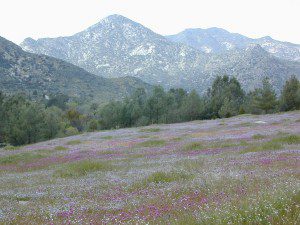
Kern Spring Wildflowers

Kern River Valley is one of the all time favorite Sierra Nevada destinations for SoCal escapees. First, it is the southern most ‘big river’ action for the Sierra range. The drive up from Los Angeles is easy access; only a coupe of hours. California Highway 178 leads from Bakersfield up the mountain to Lake Isabella (exit at 155 for Kernville destinations). The 178 continues east past the rural communities of Onyx, Canebrake, Weldon, and then on to the Northern Mojave desert & US Highway 395

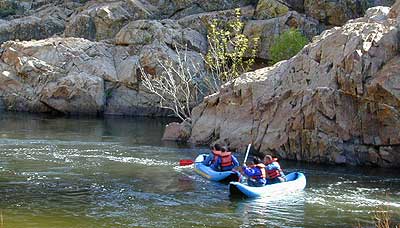
Second, Kern has an abundance of outdoor recreation, from fishing to boating, river rafting to kayaking, backpacking, mountain biking, rock climbing, horseback riding, hiking, camping, & soaking. Kernville is the “recreation headquarters” for the region, where you can find rafting outfitters, camping supplies and rental equipment.

Kern Rafting

Third, the mountain scenery is very diverse – with the dry shores of Lake Isabella, the granite lined Kern River, or the ridges with towering cedar forests, plenty sugar pines, plus a few Sequoia groves; Tons of dirt back roads to explore, granite & gorges for the rock climbers, prime wilderness access & several primitive hot springs.

The whole area is encompassed by the Sequoia National Forest with wilderness areas to the North & East. Giant Sequoia National Monument is located along the Western Divide Hwy in the northern portion of the National Forest.

campingFIND CAMPING along the Kern River

camping Sequoia National ForestFIND ALL Campgrounds in the Kern River Canyon

Kern River Valley communities include:

Whether you’re an RVer wanting a developed campground near town, a fisherman needing a primitive site right on the river, or a backpacker seeking the high country, the Kern has a little bit of everything. High elevations beyond 8000′ ridge lines, or the lush Lower Kern under 2000′ with granite boulders lining, Kern has it. 4 wheelers will love the extensive network of dirt back roads, or maybe the OHV areas of Keysville. Lake Isabella has numerous oak lined campgrounds & boat rentals available too. Summer is not the best time to visit as the temperatures soar to 100 degrees & the city crowds come in full force to the Kern Valley. Springtime, the best season to visit runs from March to May, or Autumn cools for September to December.

  • SEQUOIA NATIONAL FOREST MAP
  • DOME LAND WILDERNESS MAP
  • GOLDEN TROUT WILDERNESS MAP
  • SOUTH SIERRA WILDERNESS MAP
  • KernWildflowers

    HoboCampground
    Hobo Campground in the Lower Kern Canyon