Tag Archives: public

Mill Creek California

Lassen Camping for Free, Mill Creek @ 172
Lassen Camping for Free – on Mill Creek
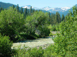
Mill Creek w/ Lassen Peaks (July 2011)

Numerous Mill Creeks exist in the golden state of California. Here we will list most of them, some with campgrounds and others without. Waterfalls, big rivers and

driftwood

millcreekresort
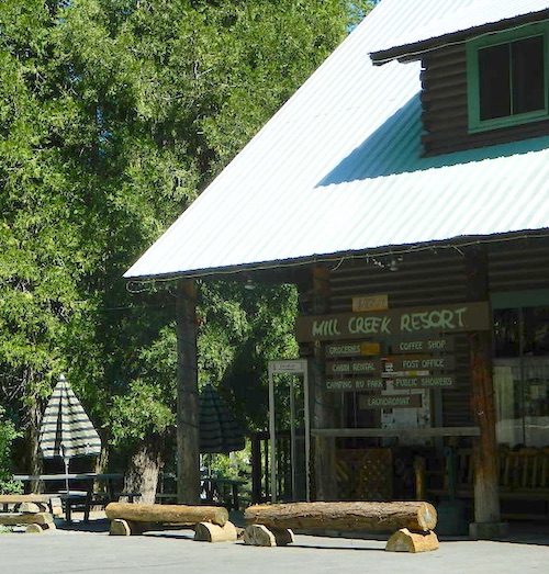
Mill Creek Resort, California

LASSEN NF

The well-known Mill Creek, is the one south of Lassen Volcanic National Park.

Certain areas could be closed to the public, due to the 2021 Dixie Fire

camp

MILL CREEK, CA

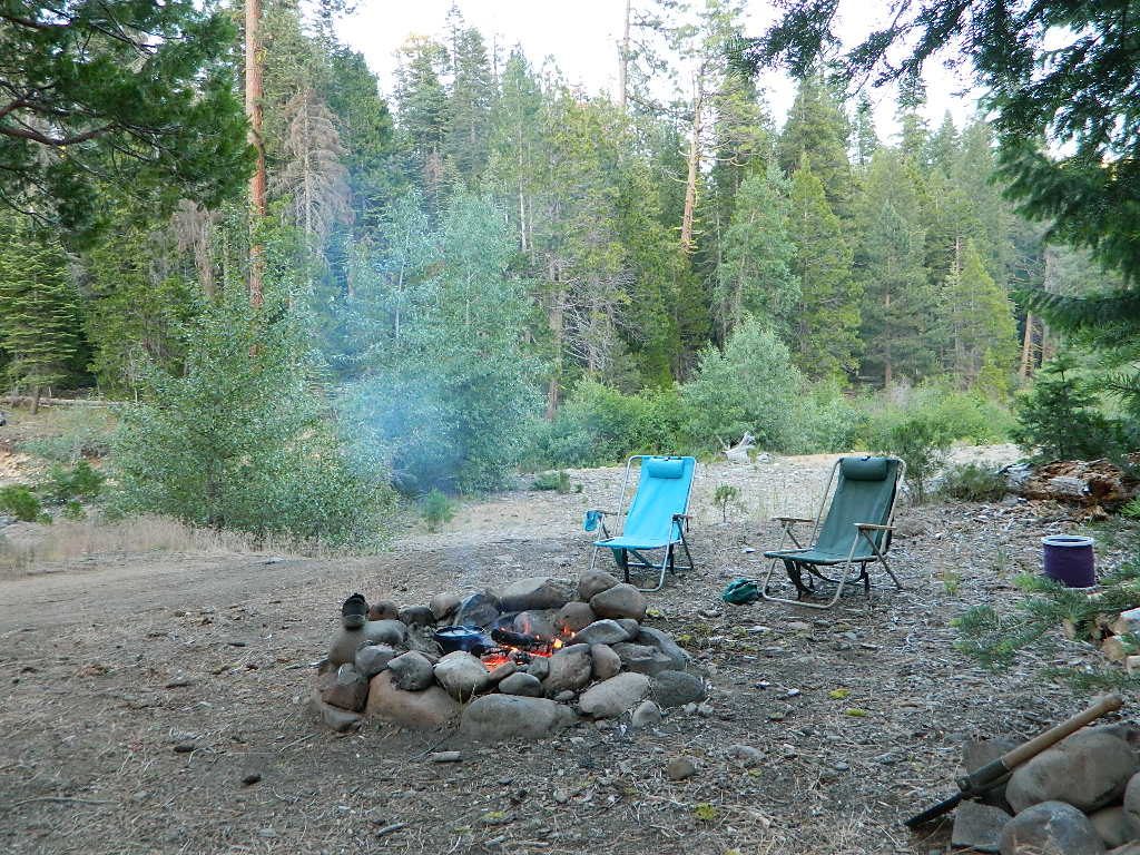
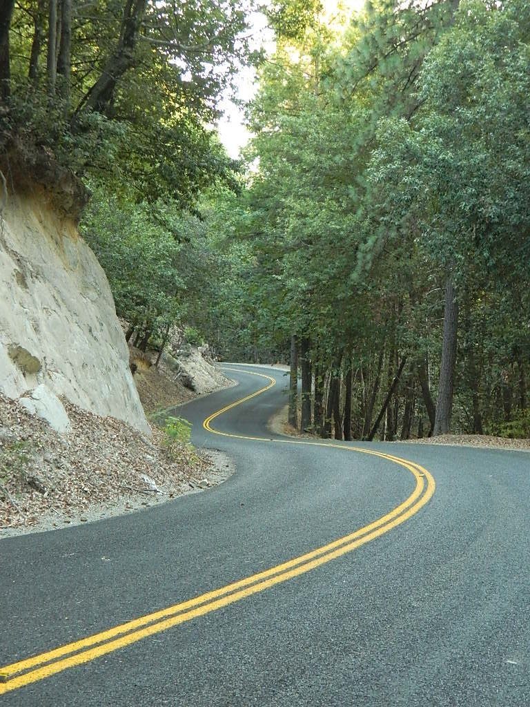
Small mountain resort in the forest near Mill Creek, with cabin rentals, RV camping and campgrounds nearby. A general store is open in summer months, and snow can be found in winter. Highway 172 makes a nice paved loop around this forested area and joins back to Hwy 36. Route may be closed due to snow in winter & spring. Free camping can be found along this creek, although a campfire permit is always required for camping outside of developed campgrounds.

Mill Creek Resort
40271 Highway 172, Mill Creek CA 96061
530-595 4449

Mill Creek Resort Campground

elevation = 4720′

  • 14 tent sites
  • 8 RV sites
  • reservations & fees
  • closed in winter
  • showers & flush toilets
  • picnic tables
  • camp fire rings

Mill Creek Indians: Described as a group of ‘renegade and outlaws’, from multiple tribes in NorCal. Mill Creek Indians took shelter in secluded Mill Creek gorge, located below the Mill Creek Rim, a volcanic ridge which extends from Mount Lassen to the Sacramento River Valley. See more on Ishi Wilderness.

see also – Hole in the Ground Campground in Lassen NF
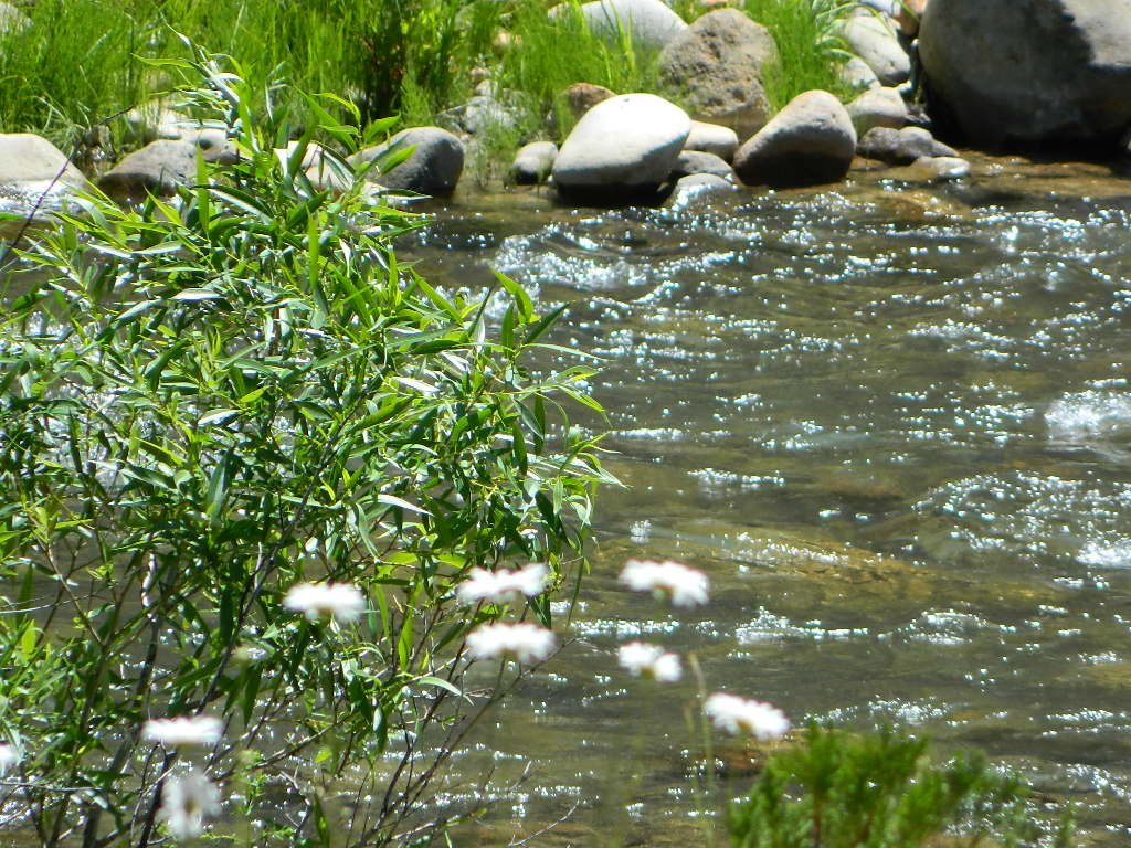
Mill Creek Lassen
Mill Creek near Lassen (2015)
Camping Mill Creek
Camping Mill Creek – along Hwy 172

driftwood

MENDO NF

Fouts Springs is a popular off-road camping area on the far east side of Mendocino National Forest. Many miles off I-5, near Stonyford, CA. Numerous NFS campgrounds exist is this rugged canyon. One of them is called Mill Creek Campground and it has few pine tree and lots of chaparral, plus a decent little creek flowing nearby. OHV – off highway vehicle use is heavy in this region, so know when to go. At certain times of the year this remote canyon can be quiet and peaceful. Call the local rangers to find out.
ranger
Stonyford Workcenter
5171 Stonyford-Elk Creek Road
Stonyford, CA 95979
530-963-3128

NOTE:  RANCH FIRE, this whole Mendocino Forest was badly burned by recent wildfires.
Mendocino Complex Fire 2018

All of the Snow Mountain Wilderness was burnt and affected, including all the National Forest land surrounding it. Fouts Springs Campgrounds may have been spared, but the hills, trails and roads now lead to blackened forest.  Many routes could be closed; check with ranger station in advance of travel.
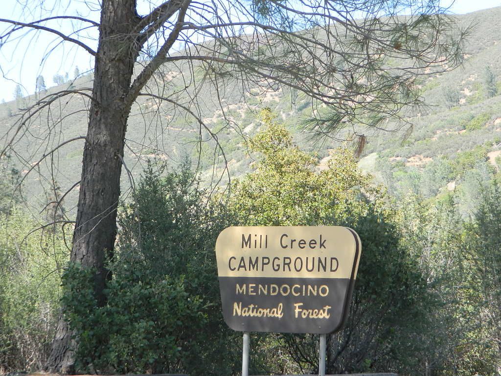
Mill Creek Camp @ Mendo
Mill Creek Camp @ Fouts Springs

driftwood

MODOC NF

south warner sign

Warner Mountains  hwy395

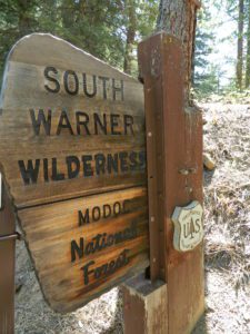
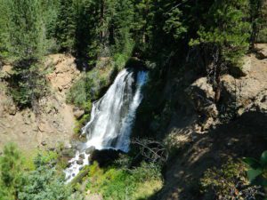
Mill Creek Waterfall is located on the western slopes of the Warner Range, near the South Warner Wilderness. On the headwaters to the Pit River; About 6 miles east of US Highway 395, near the town of Likely, south of Alturas, California

elevation = 5680′

mill creek falls
Modoc Mill Creek Falls in NE California

driftwood

KLAMATH NF

Mill Creek inside the Marble Mountain Wilderness.

  • Mill Creek Ponds Trailhead – Mill Creek Ponds Trail
  • Etna Mill Creek Trailhead – Etna Mill Creek Trail
    (Pacific Crest Trail access)

PCT

driftwood

PLUMAS NF

Mill Creek @ Bucks
Mill Creek @ Bucks

The Bucks Lake Wilderness region also has a developed NFS Mill Creek Campground. The camp location is well off the Bucks Lake Road, tucked deep in a tight canyon; northern most point and near a dam for the large NFSlogoBucks Lake.

elevation = 5200′

  • 10 camp sites
  • fee
  • closed in winter
  • 14 night camp limit
  • RV = 21′ max
  • pit toilets
  • picnic tables
  • camp fire rings

Bucklin Road (aka Bucklin Dam Rd and Road 33) #24N24 a paved road on the west end of Bucks Lake, connects to Road #24N88X which leads back to this smaller campground; camp sites are paved. Steep driveway down.

This Mill Creek intersects Bucks Lake at the campground, then connects to the PCT hiking trail, although the narrow dirt road #24N88X veers away from creek a few miles up.

driftwood

SEQUOIA / SIERRA National Forest

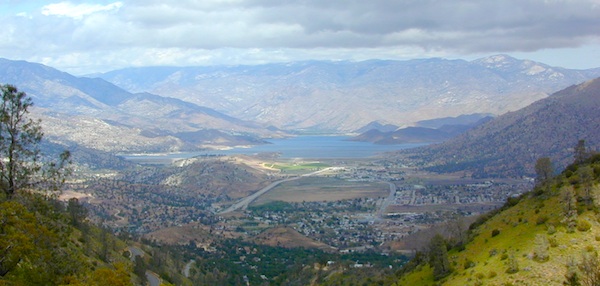
This Mill Creek is located on the south shore of the lower Kings River, above Pine Flat Reservoir. This is the boundary where Sequoia NF meets the big river, and on the other side of the water is the Sierra NF.

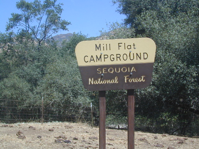
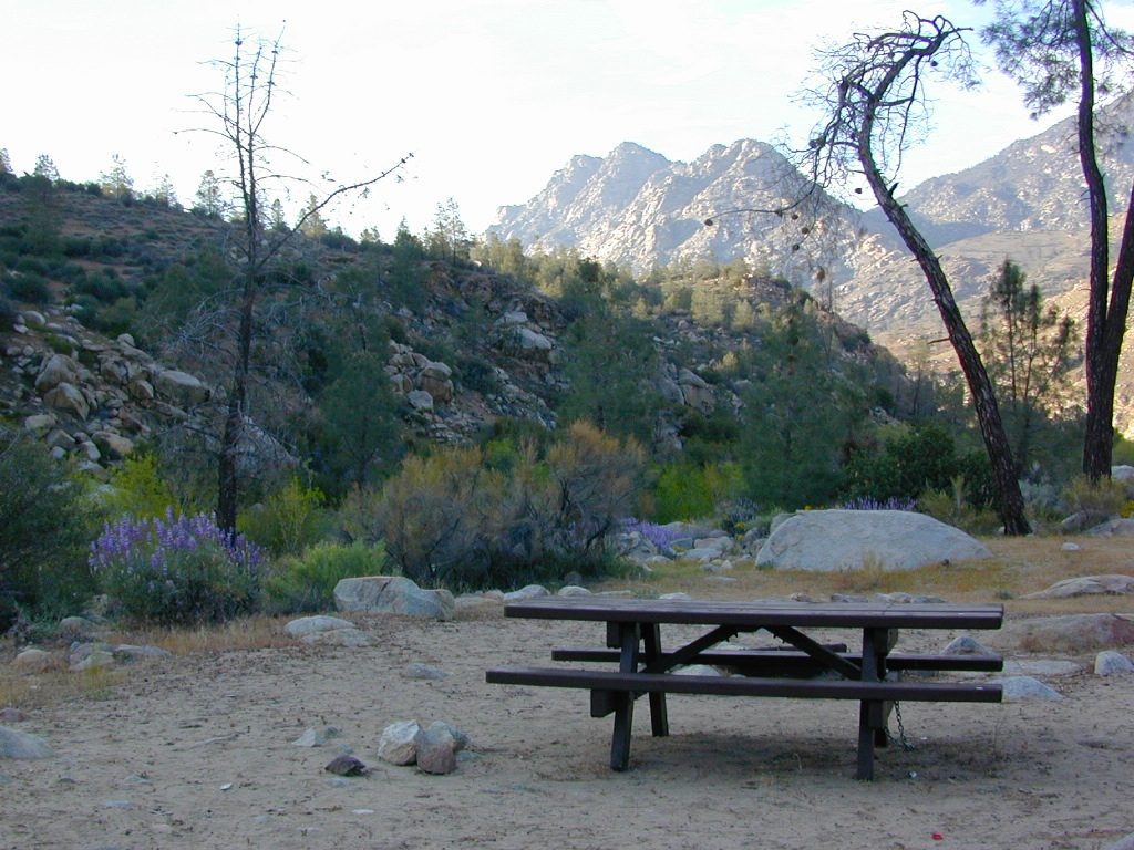
Mill Flat Campground (also known as Mill Creek Camp) is a shady, oak flat campground on a dirt road, located at a dead end canyon site, right on the rocky rivers edge.
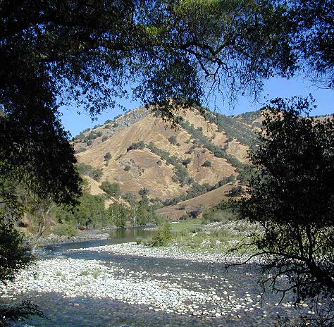
kings river view

As usual – the further you drive, the more seclusion you will find. This observation holds true for this Mill Creek location. During peak summer months, there may be families enjoying this spot, but most of the year it is virtually empty and rarely used.

Oak foothills, canyons, granite rocks, wildflowers. Fishing, camping, hiking, rafting, kayaking.

No cell phone coverage back in this deep canyon.
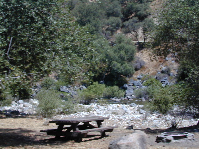
free river camp sites

NFS Mill Flat Campground @ Lower Kings River

elevation = 1167′

  • 5 camp sites
  • free, no charge
  • open year round
  • 14 night camp limit
  • RV = 25′ max
  • pit toilets
  • picnic tables
  • camp fire rings
kings tables

campground mill creek

Mill Flat Kings River


Closed Indefinitely

UPDATE SEPT 20, 2021
California National Forests, most have re-opened.
See Sequoia Wildfires & Closures

pinetree

Twenty five years ago, when I began this outdoor web site for California, did I ever imagine ‘times like these’ – where we would be held up inside our homes during summer, as annual wildfires destroyed our vast and beautiful forests. Frightened to breathe the toxic, smokey air outside. Saddened by news of yet another town or historic structure burning to the ground. Checking the destruction daily online, in hopes of more containment, fresh photos or any good report.

Now I fear Total Escape  may become photographic documentation of how beautiful California once was.

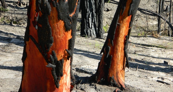
burnt forest

wildfire closures

Most California National Forest are currently closed!

Lassen Volcanic National Park is CLOSED due to damages from the Dixie Fire.

In case you missed it: 2020 was the worst year for wildland fires in California history, but 2021 is shaping up to be just as bad. Many forests, roads, trails, campgrounds and parks listed below have been closed to the public for the 2021 season, and possibly longer.

BIG SUR COAST
Julia Pfeiffer Burns SP
Prewitt Ridge
Nacimiento Road
Lucia Restaurant
Tassajara Canyon

SANTA CRUZ MOUNTAINS
Big Basin Redwoods SP
Butano Redwoods SP
Boulder Creek, CA

NORTHERN CALIF
Armstrong Redwoods SP
Austin Creek SRA
Mendocino National Forest
Lake Berryessa
Mad River / Ruth Lake
Forest Glen, CA
Salmon River
Six River National Forest
Snow Mountain Wilderness
Yolla Bolly Wilderness
Lassen National Forest
Lassen Volcanic National Park
Caribou Wilderness
Lake Almanor
Feather River (North Fork)
Susan River (near Caribou)
Trinity Alps Wilderness
Trinity River (W of Weaverville)

SIERRA NEVADA
Alta Sierra
Balch Park

Berry Creek, CA
Bucks Lake, CA
Butte Meadows
Caldor
Consumnes River
Dinkey Creek
Eldorado National Forest
Feather River (Middle Fork)
Huntington Lake, CA
Indian Valley
Greenville, CA
Mammoth Pool Reservoir
Mountain Home Sequoia
Plumas National Forest
Sequoia National Forest
Sierra National Forest
Shaver Lake, CA
Shirley Meadows
Silver Fork
Western Divide Highway
22N82 Forks of the Kern

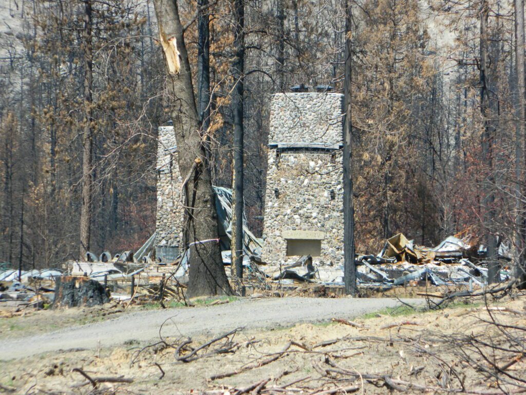
aftermath
Camp Okizu

camp

Expect that campfire rules will be tighter in the future, overall. Campfires will likely be restricted to ‘only inside developed campgrounds’. Or only allowed during the wet season on the backroads or in the backcountry.

campfire

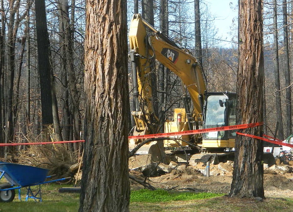
hazmat
My Front Yard (literally)

*Unfortunately, this is not a complete list of all the closures inside California parks and forests. I am adding more to this list, as more places burn. This page is a work in progress for autumn 2021

58 counties
58 Counties in Calif

Pandemic

califrepublic


and all hell is breaking loose


Pandemic+Lockdown+Unemployed = Protest&Riots

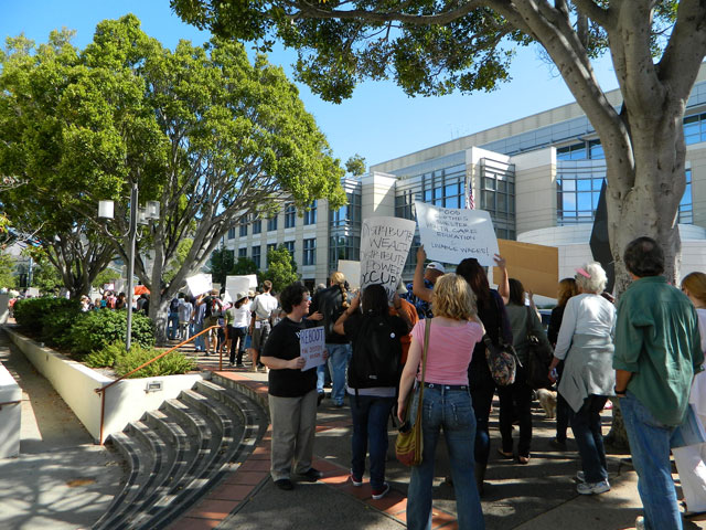
The past weekend makes the Occupy Wall Street protest look like a walk in the park w/ a picnic.

slomarch

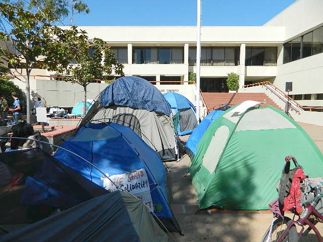
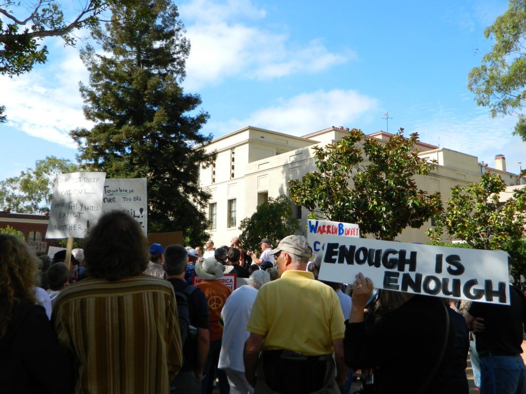
Only 8 and a half years ago (2011) – Americans were in the streets marching in mass. After 15 million people lost their home to foreclosure, 9 million lost their jobs and the banking system was teetering on the edge of financial collapse (2008), people woke up, joined together to demand a better system.

Banks got bailed out, We got sold out.

tentsatcourthouse

Mass Protest: Did things get better for everyone since then?
Ask around

protesters

are you ready to leave your comfort zone?

(manual labor may be involved)

desert_road

a vast resource for rural California

58 counties
58 Counties in Calif

plenty of space for everyone
grow food, save seeds

butterfly

Summer in the City = Uncertain

They want you – for your own safety – indoors, online, controlled and monitored. Wait, what?  Do we really need to stay inside 24/7 – stir crazy, checking news and social media hourly.

Escape to the real Outdoors

Turn off the television and the computer and go outside. Plant a garden, grow some food, read a book, go for a long walk or a day hike. Find a new waterfall, dust off the old mountain bike or bring a picnic to the nearest open space.

poppy desert
California Poppy Park
desert camp
Desert Camping is best in Spring.

@ HOME, for how long?home

Choose the outdoors, over the indoors. Solo and safe. Secluded, distant, remote. Total Escape specializes in these types of locations.

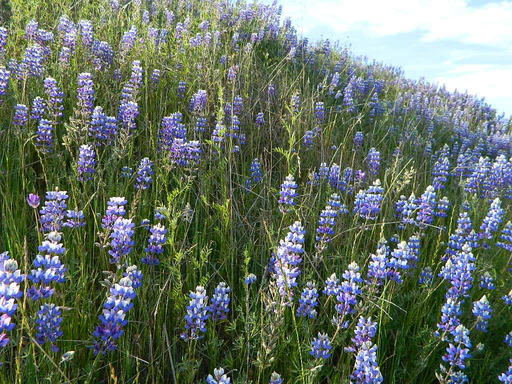
Lupine on Pozo Rd

even more suggestions:

baldrockroad

Kern River Campgrounds

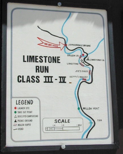
limestonerun

Kern River Campgrounds – NFS

canoeSequoia National Forest Campgrounds
Kern River, Southern Sierra Nevada

All the developed campgrounds listed below charge an overnight fee. Some are open year round, while others close for winter. Few are walking distance to the market, some may have piped running water, and garbage collection. Most have paved loop driveways and can accommodate large RVs. All campgrounds have bathroom facilities.

kern campgrounds California NFS Kern RVing

Upper Kern River
North of Kernville, California

campground

elev

spots

veg

toilet

notes

Fairview Campground

3500′

55

mixed

vault

Upper Kern; RV 45′

Gold Ledge Campground

3200′

37

mixed

vault

Upper Kern; RV 30′

Headquarters Campground

2800′

44

alder

vault

Kern River; RV 27′

Hospital Flat Campground

3000′

40

alder

vault

Kern River; RV 30′

Limestone Campground

3800′

22

mixed

vault

Upper Kern; RV 30′

gold ledge lupine
Gold Ledge – blooming Lupine in Springtime

fishNo day use parking lot inside the campgrounds. Park outside the camping grounds for recreation: fishing, hiking, mountain biking, rafting or wildflowers.
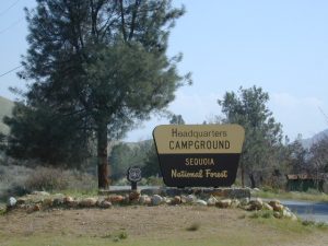
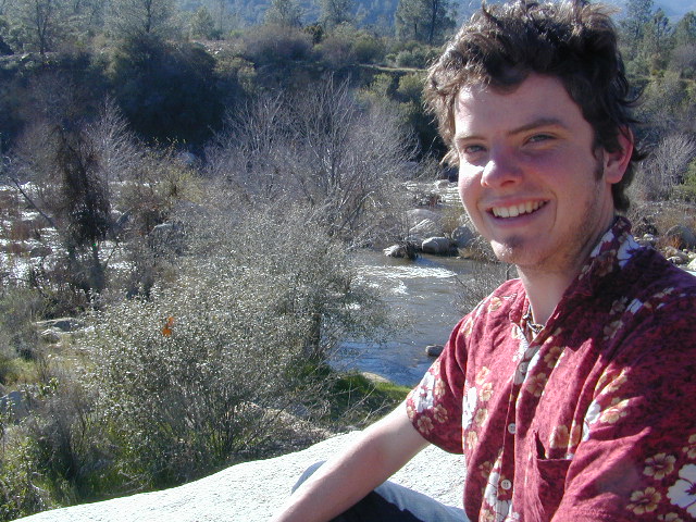
This entire canyon is dedicated to outdoor recreation w/ very few residential streets. Southern Sierra Nevada mountains – the whole Kern River area draws a lot of traffic from its proximity to Southern California.

headquarters kern

eriklovinglife
Outdoors, enjoying lIfe


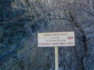
South Creek Falls
South Creek Falls

RV campgrounds campgrounds hiking fishing campgrounds mt biking campgrounds

Lake Isabella
Lake Isabella, Kern Canyon California

Lower Kern River
South of Kernville, California

Granite Boulders

campground

elev

spots

veg

toilet

notes

Sandy Flat Campground

2300′

38

mixed

vault

open all year

Hobo Campground

2300′

35

mixed

vault

2019 closed due to landslide

NFS
Sequoia National Forest
Kernville Ranger Station
760-376-3781

Additional Info on Kern Camping –

Kern Flats Camping: Free Camps
Lake Isabella
Keyesville OHV

North Meadow

Big Meadow Sequoia 

dirtbikescamp hiker

Kennedy Meadows, South Fork of Kern River
Chimney Peak Backcountry Byway
Dome Land Wilderness

Kern River Canyon
Kern River Hot Springs

Road’s End Resort
(destroyed by wildfire 2002)

Forks of the Kern
Lloyds Meadow Road #22S82

kernrvcamper