Kern River California
Kern River is a top recreation destination for the lower half of the state, since it is the only big Sierra river within easy reach of Southern California.
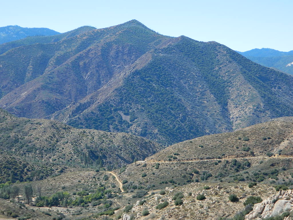
Lower mountain elevations 2000-4000′ means camping all year is possible on the Kern. With only a few inches of rainfall, plus an average high temperature of 60 degrees in December & January, Kernville has become a year-round recreation destination for the Southern Sierra Nevada mountains. Kern Canyon and most surrounding mountains are managed by USDA: Sequoia National Forest, which extends south to the Tehachapi range!
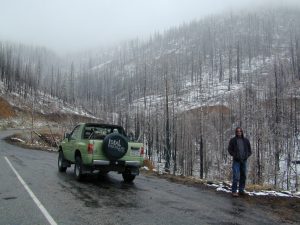
Sierra Nevada ROAD CLOSURES during winter restricts that Kern Canyon is only accessible via the Hwy 178 route. Both the Western Divide Highway (to the north) and Sherman’s Pass Road (to the east) close for many months, due to snow. (typically, NOV-APRIL closure)
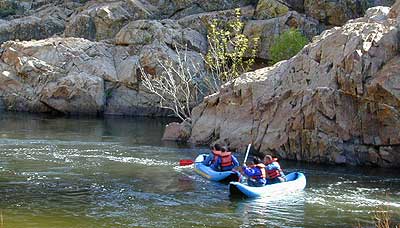
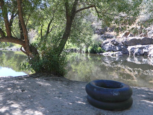
Popular Kern Recreation – backpacking, camping, fishing, hiking, river rafting, kayaking, rock climbing, mountain biking, off-roading & floating (inner tubing).
Kern River can be divided into 5 different & distinct regions:
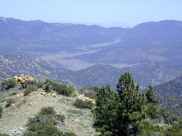
Kern River High Country
headwaters of the Kern River.
High Sierra, Golden Trout Wilderness, Kern Hot Springs, Mount Whitney snowmelt, Kern Gorge. foot access only, wilderness backcountry. fishing, day hikes, backpacking, rock climbing, mountaineering, horse packs.

Upper Kern Plateau
Southern Fork of the Kern River
Golden Trout Wilderness
Monache Meadows (Inyo NF)
Troy Meadows
Kennedy Meadows
Horse Meadow Campground
Big Meadow
Long Valley Campground
Chimney Creek Campground
Chimney Peak Backcountry Byway
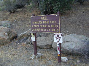
Forks of the Kern
(areas north of Johnsondale)
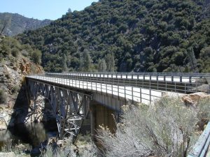
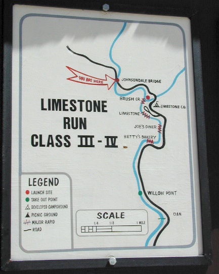
Johnsondale Bridge
backpackers & fishing trailheads
Big parking lot at the bridge. trails travel rivers edge into a tight canyon, impressive rock gorge continues up to the tallest mountain peaks in the High Sierra.
Shermans Pass Road hard right, up hill, turn-off
the main (paved) route that connects Kern River to Mojave desert.
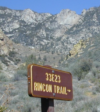
RINCON CAMP – The Rincon Fault (an earthquake fault line) runs in a north-south direction, on the east side of Kern River. Popular and rugged RINCON, a dirt bike and mountain bike trail runs this ridge as well. An overgrown hunters camp (which has been almost destroyed) is located up hill from Brush Creek falls; but accessible via unmaintained dirt road – unsigned pull out, just off Shermans’ Pass Road. High clearance vehicle is needed to reach this spot.
Johnsondale Cabins: R Ranch
Sequoia #22S82 – Forks of the Kern Road
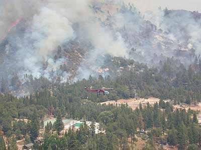
>> recently burnt in wildfire Windy Fire 2021
Boy Scout Camp Whitsett
Lloyds Meadow
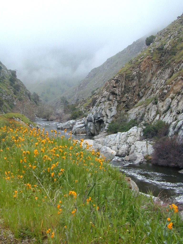
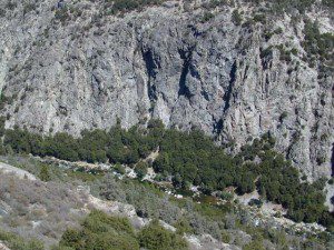
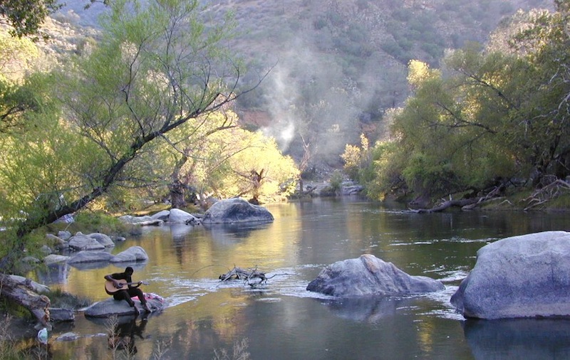
Kern River Gorge
Lower Peppermint Campground
Primitive camps – Camp 1, Camp 2, Camp 3, Camp 4, Camp 5
Jerky Meadows Trailhead to Golden Trout Wilderness
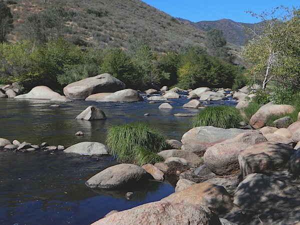
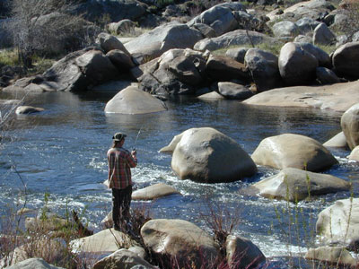
Upper Kern River
Kern River north of Kernville, CA![]()
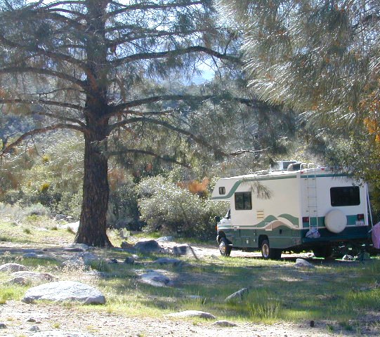
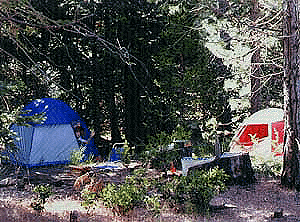
- Developed Campgrounds

run by the National Forest Service - Kern Flats: Open, dispersed camping, at no charge.

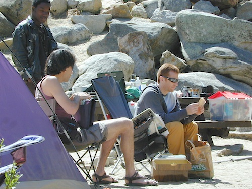
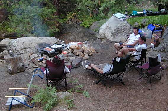
BUSY: This part of the Kern River sees much of the action, with kayakers, river rafters, fishermen, RVs, motorcycles, mountain bikers, backpackers and car campers, seeking easy river access, hiking trailheads or just a good picnic spot.
Numerous small lodges between Kernville & Johnsondale
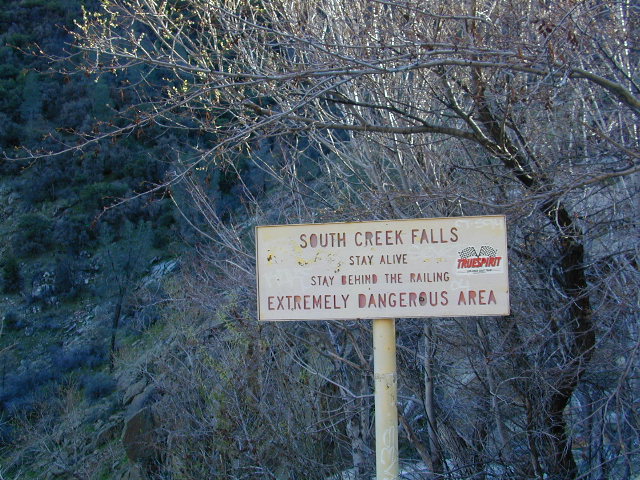
Brush Creek: awesome waterfalls & pools on Brush Creek, only accessible by hiking trail.
Rincon Trail runs above the river on the east side, via the Rincon earthquake fault. This is right where Brush Creek comes down the steep mountain. RINCON is favorite mountain biking trail, that is also open to dirt bikes (OHV) & equestrian, so share the trail and play nice. Rincon Camp is rugged, may be overgrown and unmaintained. Long dirt road might require high clearance vehicle or possible 4×4, if weather is wet.
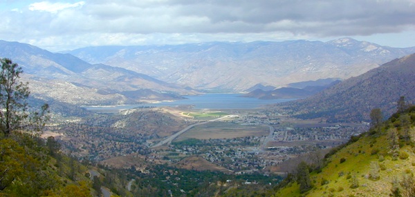
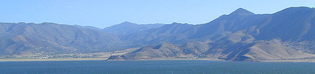
Lake Isabella
Huge recreational reservoir in the southern Sierra Nevada mountains. Dry and high desert terrain. Canyons have more vegetation. East part of lake is a wildlife refuge w/ abundant cottonwood trees, which turn golden yellow in Autumn.
The earthen dam is on the south westside. California State Route 178 (Hwy 178), which connects Mojave desert w/ Bako. This major east-west Sierra route is a four-laner (freeway) cutting thru the valley. EXIT# intersects w/ CA 155 to reach Alta Sierra, Wofford Heights, Kernville and all place north of there.
Breckenridge is a Mountain to the south of Isabella and Lower Kern. Tall pines with an empty campground awaits!
Lower Kern River
(river access / camping, southwest of Lake Isabella)
Historic Kern – Keyesville OHV
Off-Road Camping
Old Kern Canyon Road
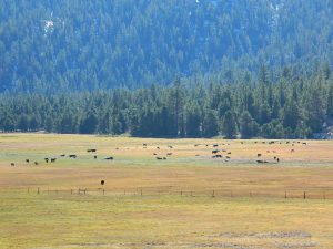
Minimal to modest campsites in the lower canyon. Most seclusion for overnight spots, can be found along the empty stretches of the Old Kern Canyon Road. Many curvy mountain miles, one lane, paved, several flat spots for easy road-side camping. Caution for cattle in roadway. Speed limit is generally under 40 mph for this historic route which parallels the 178, in between Lake Isabella and Bako.
- Sandy Flat Campground (open all year)
- Hobo Campground (seasonal)
- Remington Hot Springs


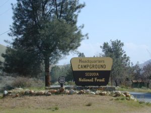
 Sequoia National Forest Campgrounds


 No day use parking lot inside the campgrounds. Park outside the camping grounds for recreation: fishing, hiking, mountain biking, rafting or wildflowers.