Tag Archives: snomo

Snag Lake California

Snag Lake California


Lakes Basin Recreation Area
Snag Lake

A free lake camp in between Truckee & Quincy, CA

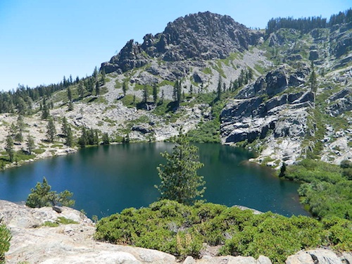
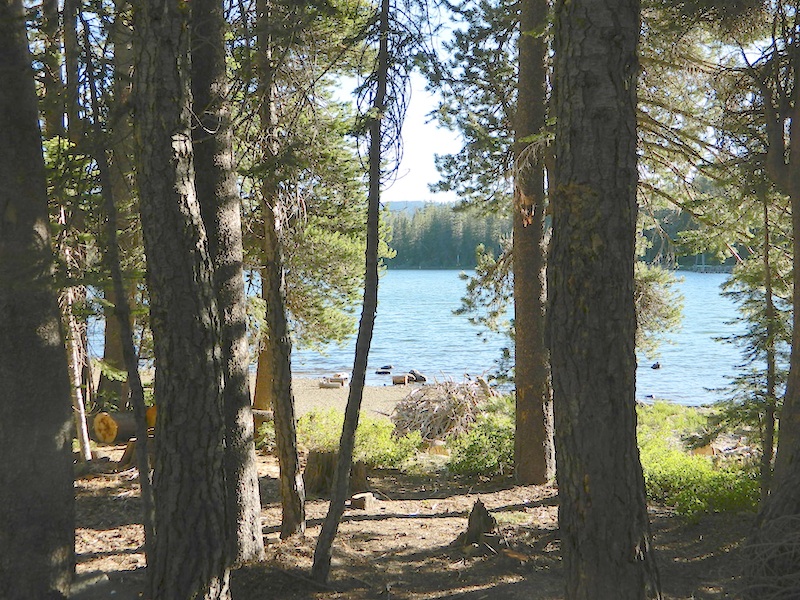
This is one of many small lakes situated within the Lakes Basin Recreation Area , in the Northern Sierra Nevada mountains. Just north of Downieville & Historic Gold Country. Snag Lake is nothing special compared to the rest of the scenic lakes close by, but it is worth a mention due to a few fun facts.
Sierra Nevada Lake

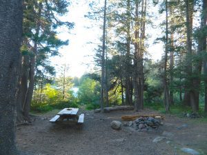
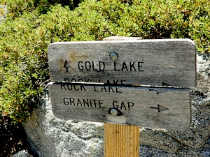
One thing this small lake campground does have is convenience, located right on the Gold Lake Highway – next to Goose Lake, plus hiking distance to the largest of the lakes, Gold Lake. The second feature is the campground is small, 16 primitive sites, picnic tables & one vault toilet. The third thing is that this is a FREE campground; no charge.

campsite snag lake

Snag Lake Campground

• Elevation: 6600′
• Number of Sites: 16
• Vehicle Accessibility: Small RVs
• Campsites Reservation: No
• Camp Fee: No
• Length of Stay: 14 Days
• Season: June – October
• Trailheads: Gold Lake
Boulder Hopping

dirt drive (no pavement)

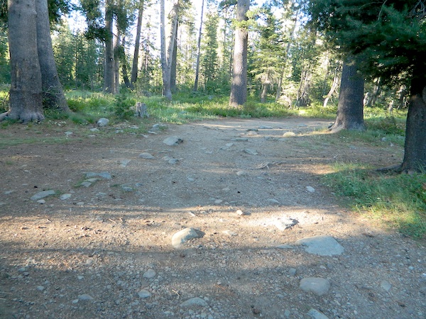
No motorized boats allowed. No paved boat ramps. Kayaks & canoes can hand launch from several spots. The dirt driveway is easily missed, especially at night. The old wooden, forest service sign is not reflective. The vault toilet is close to the highway and the camp sites are along the lake edge. No pavement anywhere!

Upon arrival, camper trailers will want to get out and select the best route to a camp site. The small boulders, dead trees, root and rock obstacles are abundant on the dirt road entry, all around the campground, and at each camp site. High clearance vehicles would fair best at this camp, but some passenger cars may be able to manage the rocky entrance. Get out and look at the road, before scraping across the biggest rock. Slowly, carefully, maybe… and preferably an arrival before dark.

LOCALS TIP: The wind tends to pick up at night around these lakes, so brace your tent well and position your vehicle appropriately.

NFS lake camping lake fishin hiking lakes lakes

fishing lake?

rainbow trout

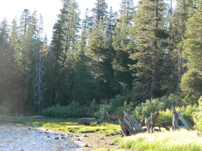
Obviously with a name like SNAG, you can imagine that the fishing here is not the best, since roots and old tree stumps make up a good portion of the shoreline. Luckily there are a dozen alpine lakes within a 20 mile radius to choose from for another fishing spot. Some lakes are hike-in only, some require 4×4 to reach and others have cabin resorts.

towns nearby –

sierra snow

SEASONAL SNOW CLOSURES

snowmobile
Gold Lake Hwy (or Gold Lake Road) closes in the winter months (NOV-APRIL) due to snow and the region is used as a winter recreation area. Cross-country skiing and snow-mobiling are both popular activities.

driftwood

Lassen – Snag Lake

ANOTHER SNAG LAKE in NorCal, can be found by foot, hiking into the Lassen Volcanic Wilderness. Backpacking the lake loop is approx 17 miles RT and includes 3 lakes – Snag Lake, Widow Lake, and Jakey Lake. Trailhead is located at Juniper Lake, at the north shore.

read more about this hike

hiker

SIERRA LAKES

4×4 lakes
backpacking lake
camping lakes
canoeing lake
fishing lakes
hiking lake
kayaking lakes
waterfalls

Gold Lake California

lilgoldlake
Hike-in only Gold Lake, Bucks Lake Wilderness.

California has more than one Gold Lake!

goldsign

Gold Lake, CA

(Sierra Co)
6409′ elev.

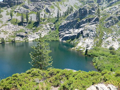
The biggest Gold Lake, California is the well-known one, along the Gold Lake Highway in the Lakes Basin Recreation Area. Plumas meets Tahoe National Forest. North of Gold Country Hwy 49, Downieville & the Yuba River. Right where the Sierra Nevada granite meets the volcanic lava rock of NorCal.

Packer Lake

Lakes Wilderness Map

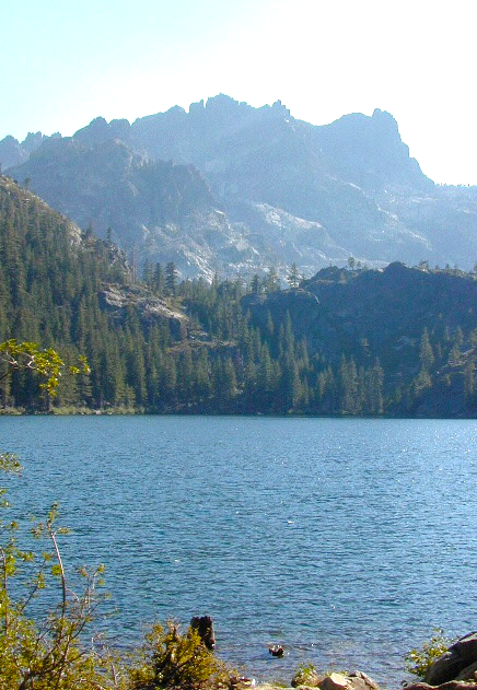
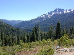
Impressive jagged spires known as The Sierra Buttes (8591′) tower above the stunning lake scenery. This big Gold Lake is surrounded by a dozen smaller alpine lakes which make up the popular region called Lakes Basin. Easy access paved highway, which closes in winter for deep snow and winter recreation. The Gold Lake Highway is also referred to as Plumas County Road #S620

sierra buttes
the sierra buttes

Sardine Peak Fire Lookout lodgeranger rentals
NFS fire tower – no more overnight rentals!
overlooking the Sierra Buttes and the serene Lakes Basin, Yuba River, Northern Gold Country California

see CalPine Lookout near Sierraville, CA

driftwood

USFS

LAKES BASIN RECREATION AREA
Cabins, camping, lake fishing, backpacking, hiking, horseback riding, mountain biking, off-roading, snow-mobiling.

lakesbasinhikers

snowmo

California Lakes

mini gold lake

Mini Gold Lake

(Plumas Co)
6000′ elev.

Another smaller Gold Lake exist on the granite slopes in Bucks Lake Wilderness – E of Oroville & W of Quincy, CA.

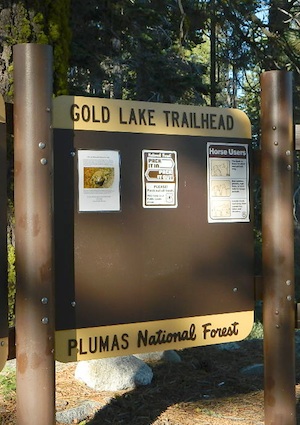
gold lake trailheadThis hidden gem is a hike-in only lake – and well worth the effort. A somewhat short hike, great ridge line views to the east, although the last half mile of this route is a doozie (moderately strenuous).
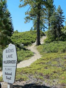
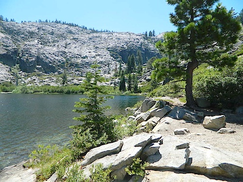
The main trailhead departs from Silver Lake and climbs a ridge line that heads over to the PCT (Pacific Crest Trail). An off-shoot trail goes another mile to the miniature Gold Lake, a granite bowl of sheer beauty. A great day hike for those wishing to see the backcountry. Pack your picnic lunch, camera, and make a whole darn day of it!

Swimming & skinning dipping seem quite natural at this alpine lake, since it is a pretty remote location (without a lot of visitors) and there is absolutely no swimming allowed at neighboring Silver Lake.

bucks trailhead

The steep, overgrown, rocky shoreline leads one to bush whack through old trails, only to be met by a rock slide. Many dead ends and obstacles to climb around, or over. Some way… maybe, or maybe not!

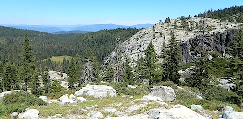
Boulder and rock scrambling is the key phrase to remember, once you reach this lake. Knees may be sore from climbing, up and over the boulder ledge surrounding the lake bowl.

goldshore

Bucks Lake Wilderness Map

A few primitive camp sites are scattered about on the edge of the lake for those backpacking in, but be warned – they can be very difficult to reach. Much more suitable campsites can be found scattered throughout the area.

Warning: there are no flat, lush meadows to lounge in up at the lake, so pick yourself a side route (on the walk in) to find real seclusion and privacy.

view to Quincy

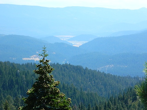
This mile-long-ridge hiking trail to mini Gold Lake has some amazing views down to the east side – Jacks Meadow right below; then Meadow Valley & Quincy off in the distant hills. RURAL CALIFORNIA – Plumas County from above.

jacks meadow
jacks meadow, way below

Sierra Nevada Lakes

High Sierra Gold Lakes in California

hike-in only lakes

hike

Golden Bear Lake
(Tulare Co)
12,000′ elev

High Sierra – Kings Canyon National Park
Center Basin / Center Peak 12,760′
PCT – Pacific Crest Trail
North of Mount Whitney
Eastern Sierra, Independence, CA

hike

Golden Trout Lake
(Inyo Co)
11,500′ elev

Trail #3306 from Onion Valley Campground
North of Mount Whitney
Eastern Sierra, Independence, CA

goldentroutlakecanyon
onion valley trail views
Eastern Sierra Lakes
Alpine Lake above Onion Valley, Eastern Sierra