Forest Rd #6N06 – County Line Road, Fence Creek, Stanislaus National Forest
Central Sierra Nevada Mountains, California
N of Hwy 108; W of Sonora Pass
On the very edge of wilderness
Stanislaus National Forest
County Line Road
Fence Creek Campground (NFS)
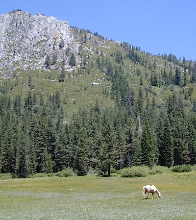
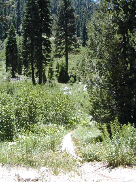
Graded dirt road near Clarks Fork junction @ SR 108. Dirt road travels up into forest, hiking trails and meadows; South side of the volcanic Dardanelles @ Tuolumne Co. & Alpine Co. boundary

County Line Trailhead
Wheats Meadow Trailhead
Carson Iceberg Wilderness Area
The Dardanelles (9524′ elev)
Clark Fork, Middle Stanislaus River
Topo Maps of this Region:
Stanislaus National Forest Map USDA
Carson Iceberg Wilderness Map USDA
Carson, Emigrant, Mokelumne Map NatGeo
Sierra Nevada Topo Map

- backpacker access
- day hiking
- horse camping
- primitive camping
- trailhead camping

winter road closure, annually
check with local rangers on road access and conditions.
Rd# 6N06, climbs to mountain scenery at upper elevations, well of the main highway. Route is a 2-lane wide road at times, narrower and private towards the end of roads; several dirt roads, overgrown 2 tracks w/ many camp sites to choose from. Dispersed primitive camping requires a camp fire permit.


OHV off-roaders will only find dead ends on dirt route 6N06. NO motorized access in nearby wilderness. Wheelers should try south of Highway 108 @ Niagra Campgrounds; Niagra Off Road #5N01 for all the noise-makers, gear heads, dirt bikes, and toy boxes. Niagra Creek, Niagra OHV, Niagra 4×4.

nearest towns:
Dardanelle
Pinecrest Lake
Twain Harte