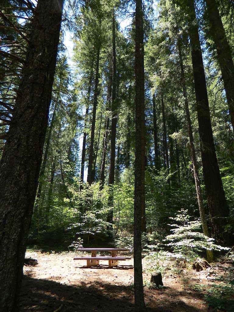
dirt roads, creek, with peace and quiet (mid-week)
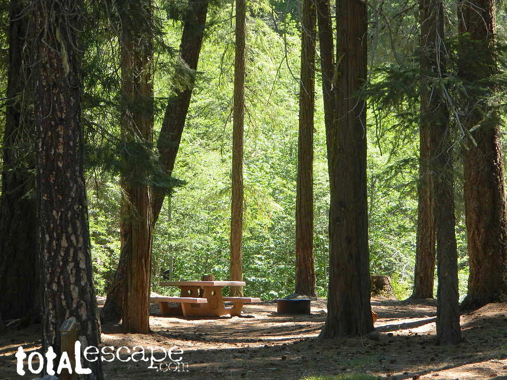
Meadow Camps
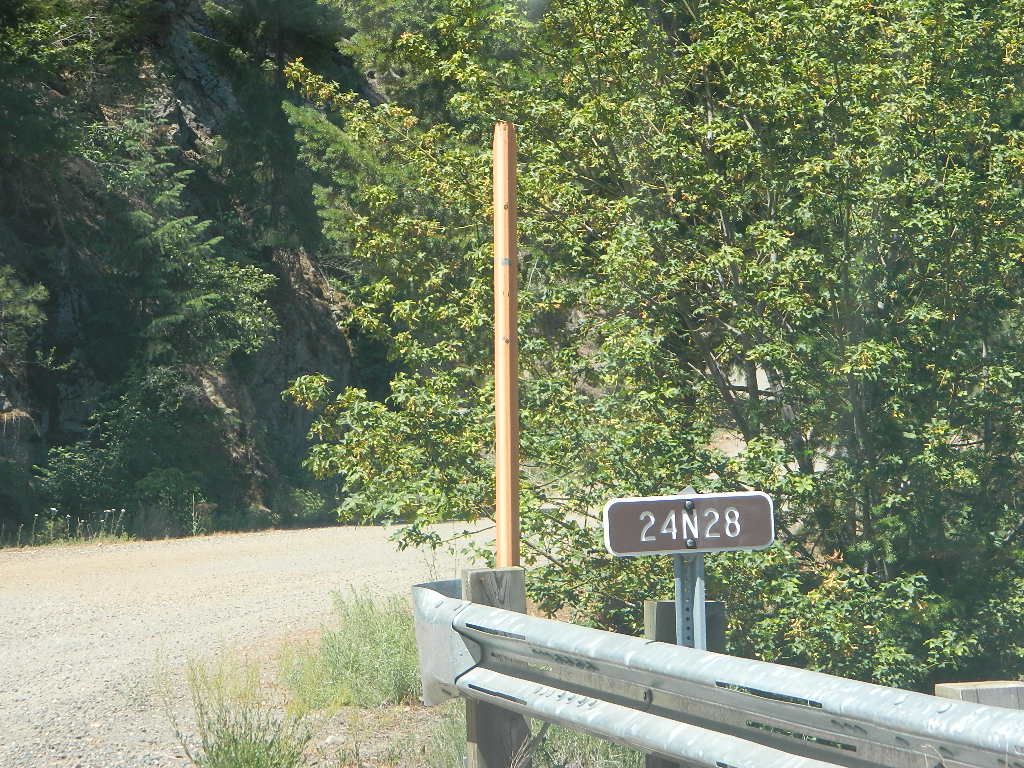
NOTE: OHV off roaders, quads, dirt bike use is somewhat common around here. The main dirt road cuts right through the middle of this campground, so passing traffic noise is possible. Choose the meadow side of camp, and get back off the road a bit – for more seclusion and a better night sleep.
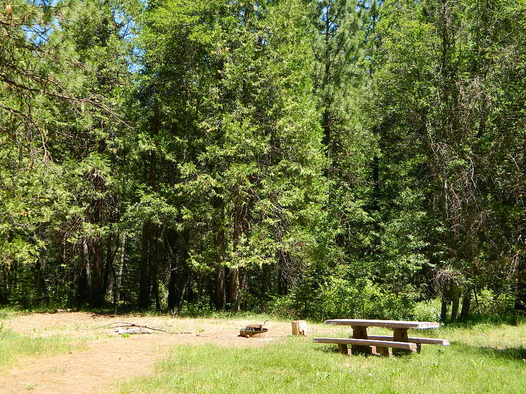
The small creek-side meadow is also the proper stargazing area. Bring lawn chairs or blankets and watch for wet soggy spots. Don’t drive on the meadow! Keep campfire low when watching for meteors.
LOCALS TIP: If this small campground is full or not quite far enough, then keep on driving, deeper into the woods – to reach NFS Deanes Valley Campground
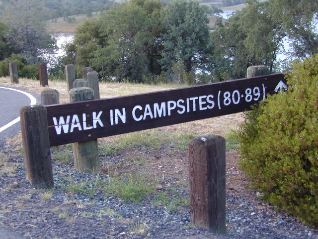
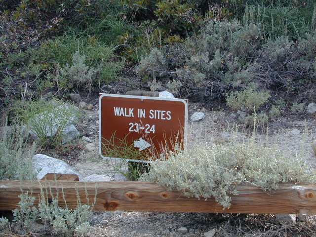
Below are developed campgrounds in California that have walk-in camp spots available. Vehicles are parked and you must carry your gear into the camp site (usually a short distance, but can be up to a half mile).
California Campgrounds with more than a 1-mile trek are not included in this list below. Areas such as – Catalina Island, Crystal Cove SP, Angel Island SP, Point Reyes National Seashore, indeed have many hike-to camps, but most are measured in miles (one way).
walk in campsites are perfect for –
people who wish not to see cars @ camp
people who prefer less noise while camping
physically fit folks, who want exercise
backpackers, who plan to hit the trails soon
avid hikers, who may be out day hiking
cyclists, just passing through
mountain bike campers
one nighters, travelers who only stay one night
late comers to the campground
(hint: these are usually the last campsites to fill up)
Walk in campsites are often located away from car campers & RVs. Some camp sites may have more privacy, tucked away in trees, while others have shared community area with fire pits and/or barbecues. All camp sites will have picnic tables and a some kinda toilet nearby. Bear boxes may be available for storing food properly. Sharing these food storage boxes with neighboring campers is common practice.
Campgrounds with walk-in sites range in elevation from sea level marshlands to high altitude alpine lakes. Most of these camps listed below are located inside developed campgrounds with overnight fees. Many are small campgrounds, while others are large hubs of activity. Some may be smaller campgrounds, with just a few camp sites. The most popular places can be reserved, with the links provided.
Many parks can also have day use fees, so know where you park and what time span is allowed. Ask the campground host if needing assistance. Some campgrounds lock their gates at sunset and do not permit entry at night. Others may not allow campers to check in anytime after sundown. Know their rules before you make reservations.
If you plan on not making camp reservations; make sure to have a plan B or C choice camp – in case your desired campground is already full. Many popular destinations can fill up fast (by noon in the summer).
Spacious Camp @ Aspen Grove Campground, Eagle Lake, CA
Niagra Creek Campground, OHV 4×4 trails, Stanislaus NF
North Battle Creek Reservoir, PG&E Camp, West of Lassen North Grove Campground, Calaveras Big Trees State Park
Southwest Walk-In Camp, 6700′ elev @ Lassen Volcanic NP Squaw Leap Campground, San Joaquin River, Auberry CA Stillwater Cove Regional Park, N of Fort Ross, Sonoma Coast
Table Mountain Group Camp, Bishop Creek Canyon, Inyo NF
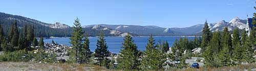
Tahoe National Forest
Donner Area Camping Lakes
NFS 530-265-4531
Carr Lake Campground 10 miles north of Highway 20 6,700′ elev 5 walk-in campsites
Rucker Lake Campground 6 miles north of Highway 20 5,462′ elev 7 walk-in campsites
Sterling Lake Campground 9 miles north of Interstate 80 7,000′ elev 6 walk-in campsites
Toad Lake Walk In Camp, PCT @ Shasta National Forest Tuolumne Meadows Camp, Yosemite National Park
(reservations & wilderness permits required)
Walk in campgrounds are considered ‘tent camping‘, as opposed to ‘car camping‘, which is literally camping next to your vehicle. This type of hike-in camping may also be referred to as ‘trailhead camping‘, as many ideal hikes begin at these prime locations. Boat-in, bike-in or hike-in camp sites are also available at some of these locations.
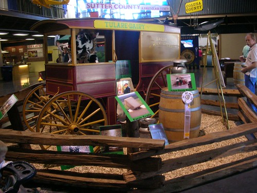
Tulare is located in the California Central Valley (the “bread basket”) – so summers can still be quite warm, or should we say HOT, even in September.
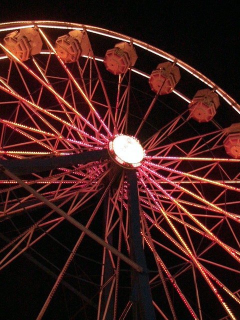
Big county fair for this farming region. Agriculture shows, auctions, destruction derby, exhibits, competitions, 4H livestock, parade, rodeo, tractor pull and much more. Don’t miss the delicious Dutch Oven Peach Cobbler Cook-Off and the Tri-Tip Cook-Off. Carnival rides and carnival games too.
Annual event; September
Tulare County Fair Assoc.
620 South K St.
Tulare, CA 93274
559-686-4707
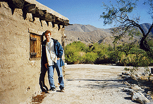
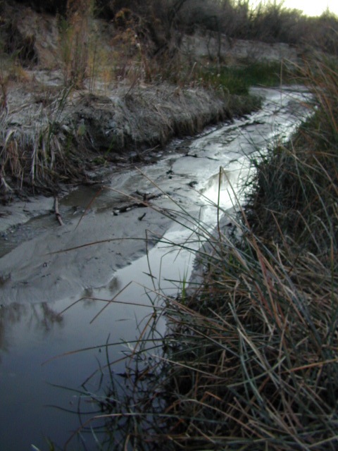
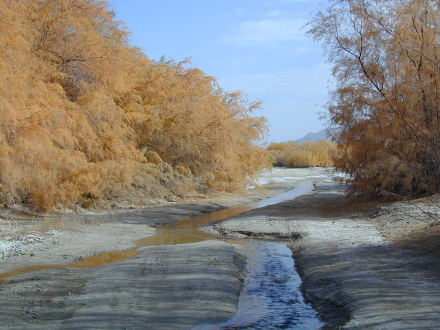
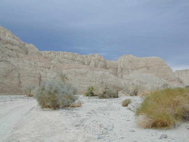
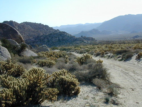
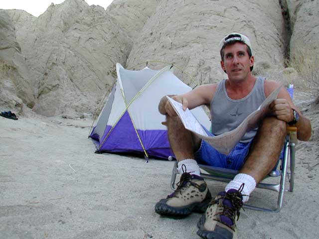
East San Diego County Road S2 winds thru the lower passes & washes of Anza Borrego Desert State Park. On the edge of the State Park boundary Vallecito is a small campground & park, but it was a stage coach route in the 1800’s.
California Historic Marker #304
VALLECITO STAGE STOP – A 1934 reconstruction of Vallecito Stage Station (originally built in 1852) on the eastern slopes of the mountains in the high desert. A super important stop on the first official transcontinental route, serving ‘The Jackass Mail‘, the Butterfield Overland Stage Line, and the southern emigrant caravans.
Vallecito Campground
elev. 1555′
camp sites: 44
overnight fee
first come, first serve
reservations accepted
Campfire pits, picnic tables, bathrooms, & historic buildings; 22 sites are tents only. RV 40′ limit; Additional 8 equestrian campsites w/ corrals. No RV hookups, no dump station. No piped water. No gasoline, no store, no amenities. No firewood, no collecting of firewood. No shade trees, just tall desert brush. Arrive adequately prepared for real desert roughin it.
Closed during the hottest months of summer: JUNE-AUG. Open seasonally: Labor Day weekend through the fall, winter and spring, up until the last week in May.
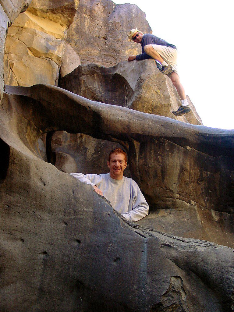
A neighboring and very rural stage coach stop is further down a long wash, to the south east. Getting there usually requires 4×4, since you must ford a muddy desert wash w/ creek & deep holes. There are no signs out in this sandy desert wash, so you best have a good map and a compass.
The Old Carrizo Stage Station site is accessible by 4 different dirt roads (desert washes) way off the paved highway. None of these are well signed at the highway: Vallecito Creek, Willow Creek near Mountain Palm Springs, Carrizo Creek near Bow Willow, and Canyon sin Nombre.
Agua Caliente, Bow Willow Campground, Canebrake, Sweeney Pass, the badlands overlook, mud caves and slot canyons are all located south of Vallecito. California SR 78 and Blair Valley are north of Vallecito.
Vallecito is located at the apex of the gap in the Carrizo Badlands created by Carrizo Creek and its wash in its lower reach, to which Vallecito Creek is a tributary. Once a seasonal village of the native Kumeyaay people, on a trail across the desert from the Colorado River, this oasis, became a crucial stopping place for Spanish and then Mexican travelers to recover from the desert crossing between Sonora and New Mexico to California. The non native settlement of the site began in 1850, as a camp with a one room sod warehouse as the U.S. Army Depot Vallecito for the supply of Fort Yuma. It was later increased in size and became a store, a stage station, and a ranch house. read more on wiki
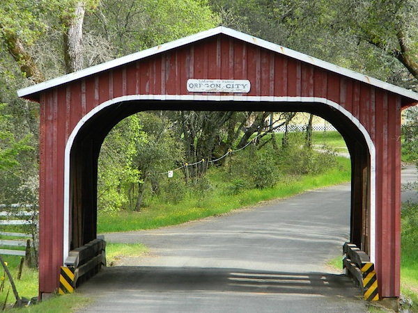
Yep! Small community of about 400 folks in the western Sierra Nevada foothills. Gold Rush Country, mining region. Up off the Historic 49 and it used to be called Murphy’s Old Diggings.
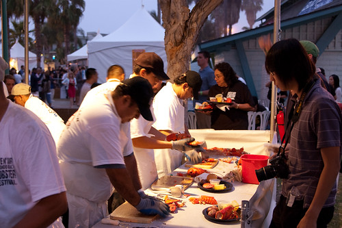
30 years running, this Redondo Beach event is a hot hit, especially for beach-goers near Los Angeles, California
3 day event held at the Seaside Lagoon next to King Harbor, just north of the Redondo Beach Pier. Live music, entertainment, lobster recipes, celebrity chefs, craft beer, kids activities and vendor booths.
July 4th marks the busiest summer week in California. It’s mid Summer for most school kids. The golden state has its biggest increase of visiting tourists during this month too, along with the local residents traveling on seasonal road trips. Plenty of traffic, be warned.
Camping July 4th means EVERYBODY and their GRANDMOTHER will be outside this weekend. The majority of big family camp-outs and social BBQ events take place — on this very summer holiday weekend. Backpackers and serious car campers are on the road well ahead of time – headed for wilderness destinations.
Stay away from the biggest campgrounds and tourist traps, unless you are into that. Head for the back country for optimal seclusion, flowing creeks and coolest lakes.
City Fireworks & Parade Events can be found on various city web sites or chamber of commerce sites, which you can easily access through Total Escape.
Fourth of July is also known as Independence Day, with celebrations in almost every major city & some notable small towns. City parades, firework displays, live music, streets fairs, BBQs, crafts, beach bon fires & in certain beach towns, total utter chaos. Below is only a sampling of popular July 4th events within California. Firework shows are so common that we are not listing most of them.
Oak foothills of the Historic Gold Country, at the edge of the Sierra Nevada mountains.
boating
canoe
camping
fishing
hiking
houseboats
kayaking
wildflowers
Most Central Valley Reservoirs have blooming wildflowers in early springtime. Summer heat can measure triple digits for months as most of these lakes are located below 1000′ elevation.
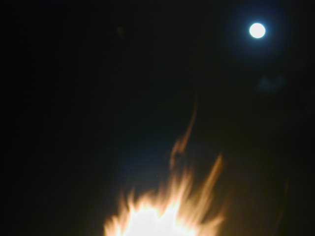
Make plans for your nights spent camping out, under the stars, watching the celestial events and meteor showers. Comfortable: Hat, blanket, radio. Hot cocoa and sugary treats will help keep you awake and alert.
Next Solar Eclipse, 2024
April 8, 2024 — Great North American Eclipse (see more info)
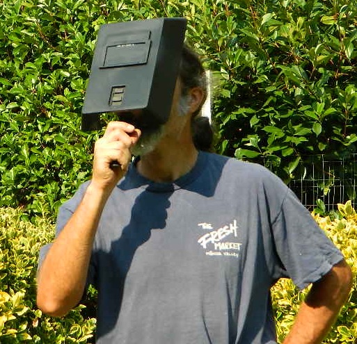
Never look directly at the sun, instead use eye protection such as welders face shield or makeshift shoe box viewer
Upcoming Lunar Eclipse
2021 Lunar Eclipses
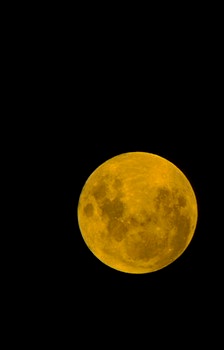
May 26: “Blood moon” total lunar eclipse
Across western North America you will be able to witness the moon blush red as it undergoes a total lunar eclipse. This dramatic astronomical event happens when the sun, Earth, and moon are precisely aligned so that our planet’s shadow completely blankets the moon’s face. (see more info)
orange, red or amber colored moon A total lunar eclipse is sometimes called a Blood Moon, because of the reddish tinge the Full Moon takes on when fully eclipsed.
November 19: Partial lunar eclipse
Last lunar eclipse of the year will greet sky watchers across North and South America. Technically a partial eclipse, up to 95 percent of the full moon will be cast within Earth’s dark shadow. During the maximum phase, it should briefly appear as a total eclipse, which means the lunar disk may show hints of orange or red. (see more info)
best places to watch the skies
The California Deserts are sometimes the best place to watch the nights sky, unless the winds are kicking up. Deserts are warmer than other locations and if you position yourself well you can be far from any city lights.
The California Foothills, both coastal foothills or mountain foothills – are the second best choice, if you can drive up canyons and get well away from the sprawling suburbs. Choice spots would be ridges above 2000′ elevation, with minimal trees. Oak foothills are choice spots. Higher than 4000′ and you will be chillin overnight.
The California Mountains are the prime choice for summertime recreation of all kinds. Primitive camping on the back roads will save you fees at a developed campground. The higher in altitude, the less atmosphere above you – the better night sky viewing is above. Choose a meadow or mountain ridge w/ minimal trees. Burn areas provide wide open spots, so you can seek old wildfire ridges. Nights can get pretty chilly most all year long, so go well prepared. Jackets, gloves, hats and all. Keep all campfires to a bare minimum after 9pm, so you can focus on the stars in the sky.
your pupils will welcome the dark skies
The California Coast is often covered with a thick layer of clouds and moisture, so star gazing along the ocean front is not always great. Central Coast and NorCal beaches have less less population, so these would be the ideal locations. Choose an inland valley w/ rolling oak hills and dirt roads, over the busy beaches. There might be clear days and nights, especially if forecast call for heat – check the local weather forecast for accurate up to date conditions.
Large urban areas, the cities and towns of California are the worst place you can sky watch, due to light pollution, traffic and smog. Drive to the outskirts of town – pick a dark location, a park, open space or forest lands nearby. Arrive before dark to get the best spots, well off the main road. Choose viewing spots without street lights and without passing traffic. Find a nice level spot to set chairs up and bring lots of snacks.
BALCH PARK campground is on a first come basis; no campground reservations needed.
2021 – THIS CAMPGROUND IS CLOSED indefinitely, due to the Castle Fire 2020
Balch Park open May to October
Park info # 559 539-3896
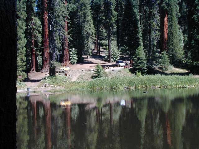
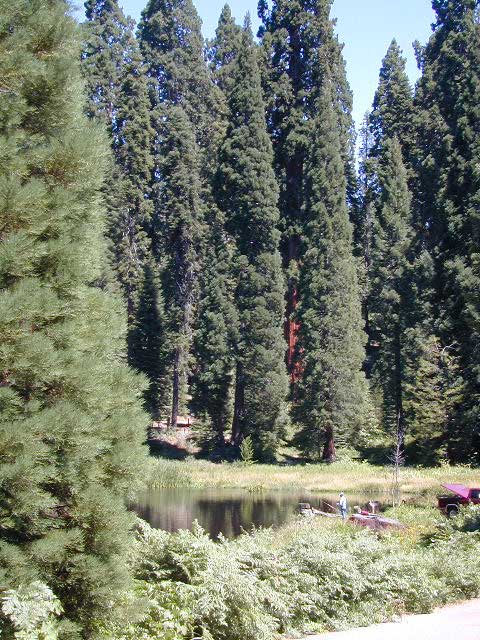
Hedrick Pond lined w/ Sequoia trees
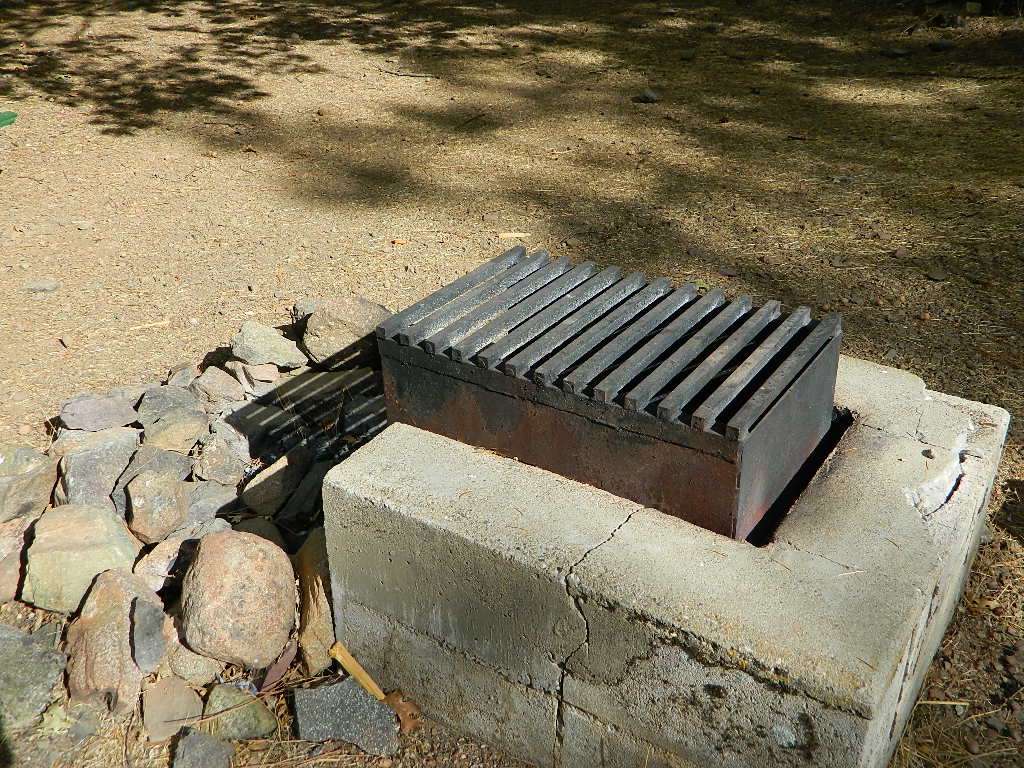
Balch County Park is right in the middle of Mountain Home State Forest, which is within the bigger Sequoia National Forest (aka Giant Sequoia National Monument). But don’t let all the bureaucracy mislead you, this is an ideal park and location, well worth your trip. The campground is the most developed one within the area – with paved roads, RV spaces, flush toilets and a fee to go along with all that. Even gotta fishing pond.
Bears are a big deal in these neck of the woods. Please store all your food properly to avoid a un-welcomed visitor
A Sequoia Grove is nearby with plenty of creeks & meadows.
Trailers not recommended due to the long curvy road leading up the mountain.
Balch Park & Campground NOT TO BE CONFUSED with utility company residences of BALCH CAMP between Pine Flat & Blackrock Reservoirs
Located right on the middle north fork of the Tule River
Inside an unknown area called Mountain Home State Forest, this small campground has a few spots that fill up quickly on weekends and at anytime during in the summer months. Campground closes seasonally, for winter snow.
Usually open: MAY-OCT
HIDDEN FALLS CAMPGROUND
• Elevation: 6,150′
• Number of Sites: 8 walk-in camp sites
• Reservations: No
• Sites Available: First come, First serve
• Vehicle Accessibility: 20′ max.
• Length of Stay: 14 Days
• Water: River nearby
• Toilet: Vault
• Bear Boxes: Yes
• Season: Closed for winter
• Fee: Yes
• Operated By: National Forest Service
• Closest Town: Springville, California
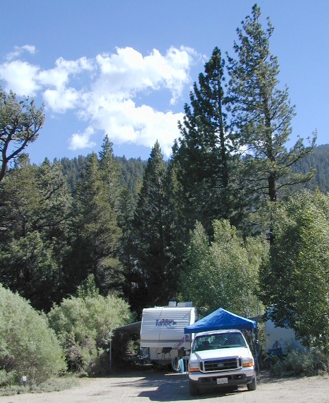
tent camping on river
Motorhome RV campers beware; no hook-ups, no paved roads. This is a primitive style camp, way back on a dirt road – not suitable for large vehicles.
NOTE $ This used to be one of our favorite FREE spots, but they recently started charging an overnight fee for this campground.
Views from Camp
bike
camp
fish
hike
picnic
stargaze
Golden Trout Wilderness trailheads nearby. Plenty of hiking opportunities, great scenery and several Sequoia groves to visit.Mountain biking is allowed on the dirt roads. Single track trails may be overgrown or even off-limits, due to the fragile eco-system around Sequoia trees.
You may actually love this little camp so much, you won’t want to go anywhere else. How ’bout just chillin out: relaxing near the water. Shady swimming holes. Fishing in the Tule River.
Pack a picnic: Back road exploration is a great day trip, for there are many dirt roads weaving in and around this park, near the Giant Sequoia.
Tule River, North Fork
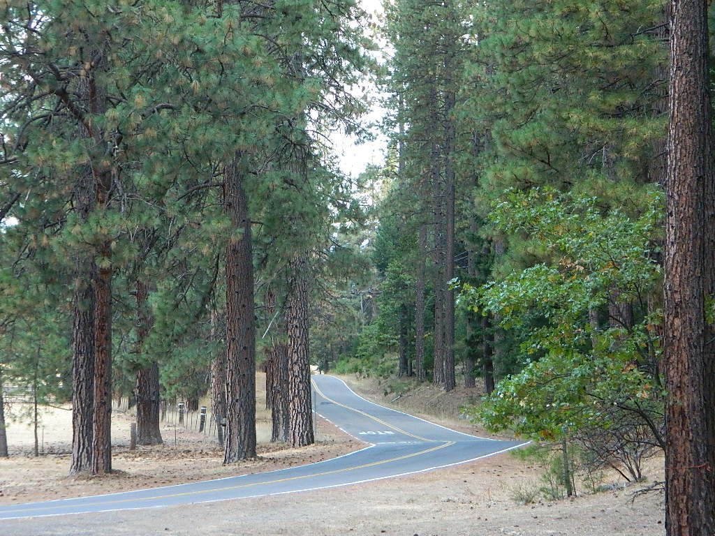
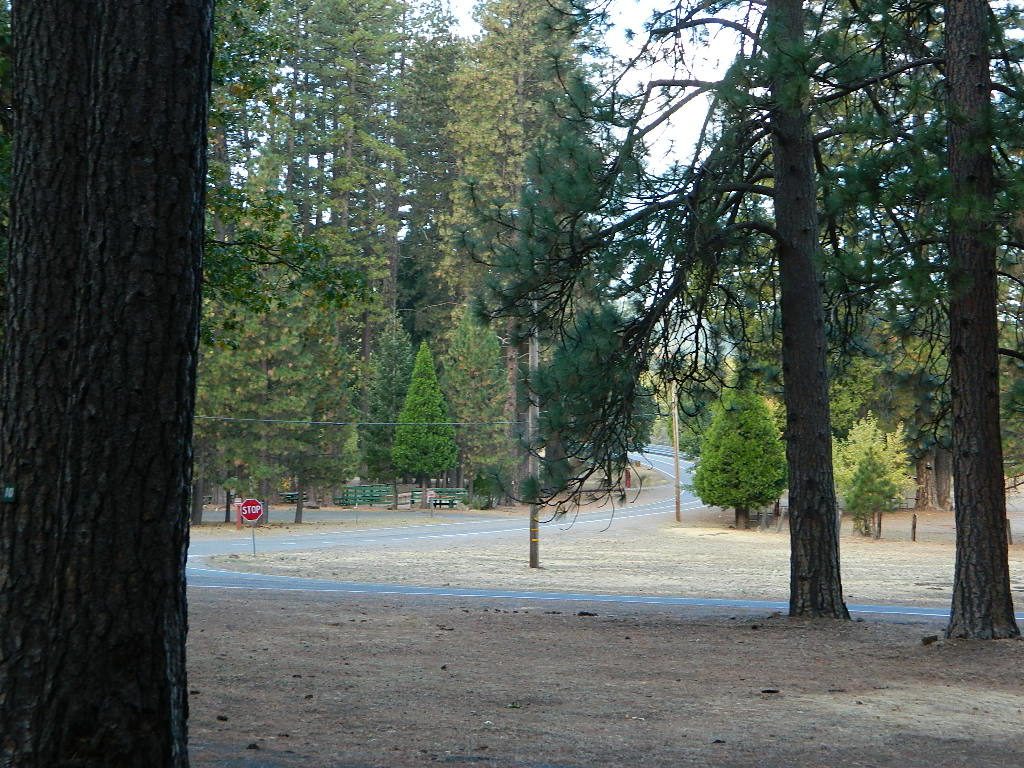
Hidden Falls is accessible via a long, narrow, paved mountain road; then a dirt road, leading 3 miles back to two very secluded campgrounds: this one & neighboring Moses Gulch Campground.
western south sierra
North of Springville on Highway 190, turn left (north) on to J37, some call it Balch Park Road (Google Maps has it as Wagner Drive) and follow it up 3.5 miles to Bear Creek Road (#220). Drive 17.5 miles on curvy Bear Creek Road, turn right and follow signs to campground.
Cleveland National Forest Camping – San Diego Campgrounds – Desert Camping Anza Borrego – SD County Campgrounds – BLM Campgrounds – San Diego Beach Camping – San Diego Mountains
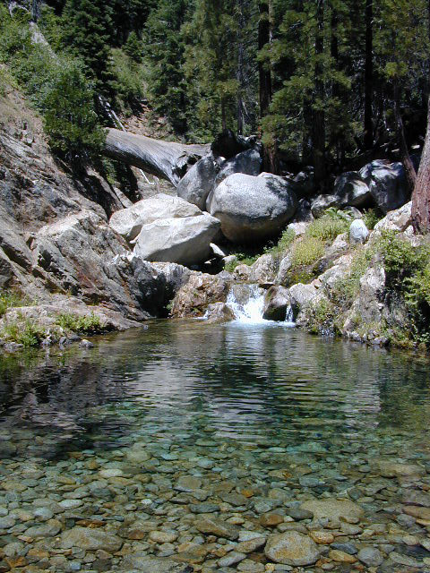
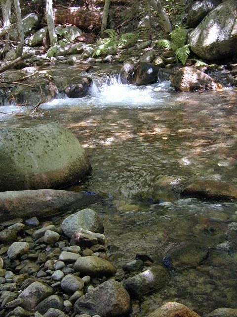
Indian Flats Campground is located on a dirt road off Hwy 79, near Warner Springs CA. Boulder ridges & manzanita surround this oak filled secluded canyon. Small seasonal creek & waterfall is a short walk from campsite.
Los Coyotes Campground is a tribal camp, located on Hot Spring Mountain in North San Diego County. High desert chaparral, oak groves and boulders.
Anza Borrego Desert by far has the best free camping options available near San Diego.
Maps Mountains / Desert Topo / San Diego Area Maps
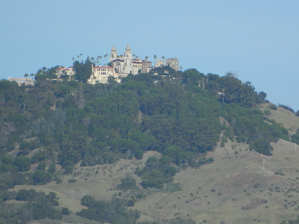
Hearst Castle
Central Coast rural and rugged coastline, south of Big Sur, California. Very touristy destination; Tickets for tours required.
San Simeon SP. Central Coast of California
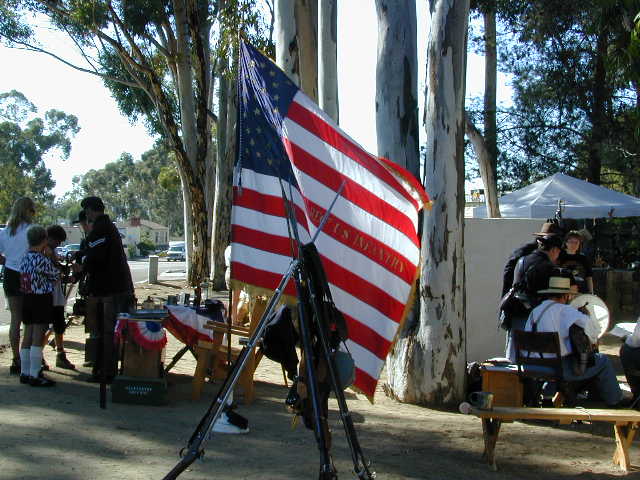
Historical Re-Enactments @ Riley’s Farm A real working apple orchard near Los Angeles; offering living history programs; re-enactments of scenes from the American Revolution, Civil War & Old West. Dinner, holiday shows, restaurant & tavern.
Mountains of Northern California / NorCal Mountain
California sure has a lot of mountains. West Coast land is home to the tallest Sierra Nevada range, plus the Cascade range, which extends northwards to Canada. (Many of which have volcanic peaks.)
We break down all the mountainous regions in the north part of the state below w/ links, topo maps, lakes, rivers, wilderness, parks and forests. Small towns & cities are linked in red.
Sacramento River, above Lake Shasta
North Coast Mountains
Redwood forests and rivers are what make up most of the Northwest part of California, just below the Oregon coast. Logging and fishing are the big industries up here. Lumber mill towns and camps still exists today. Wilderness areas, dirt back roads, river kayaking, stream fishing, camping and real wild indians. Oh yeah, and Big Foot!
The landscape in more dramatic along the North Coast of California, as the steep rocky terrain tumbles into the sea w/ the San Andreas fault running parallel to the shore. Marine life, rocky shores w/ small towns. Del Norte County & Humboldt County. Wild rainy weather, at least half the year; fog and sun the other half.
The furthest north is Siskiyou County, which borders the state of Oregon. We have the Klamath River flowing south into California, with plenty of mountain peaks, forests and wilderness. Interstate 5, Highway 3 and Highway 96
Pacific Crest Trail passes through the area and backpacking is common (all year long). Notable spots – Klamath Knot and The Eddy’s. Prominent Mount Shasta is actually situated inside Siskiyou County, not Shasta.
Giant Mount Shasta is located inside Siskiyou County, and Shasta County & Trinity is everything located to the south of it. Interstate 5, Highway 3 and Highway 299. Recreational lakes, rivers and streams, and off roading trails.
Waterfalls, hot springs, mountain biking and stream fishing can be found within this region. Mining history and museums are primarily situated around Weaverville. Houseboats and boat rentals can be found on the big reservoirs. Whiskeytown was totally toasted in wildfire of 2018. Alpine lakes, granite spires, campgrounds and cavern tours, all located along the Interstate 5 corridor.
Beautiful park setting @ Lee Fong Park, in historic Weaverville, CATrinity River Camping, Douglas City, CA
Mendocino Mountains
Coastal mountains located above the Napa & Sonoma wine country. US 101 & Highway 20. Rivers, forests, wilderness and redwoods is the key terrain that make up the Mendocino County mountains.
There is a fair amount of off road trails and dirt roads located in and around Mendocino, so you can expect to see 4x4s, dirt bikes and toy haulers on the east side of the mountain range. The coastal side of the Mendo National Forest will have the rivers and redwood parks.
Northern Sierra Nevada mountains is where the granite rock of the Sierra meets to volcanic rock of Lassen Volcano. Butte County and Plumas County is the Feather River drainage, all flowing south from Mount Lassen.
Pacific Crest Trail is routed through Bucks Lake Wilderness and the Feather River Canyon, so backpacking is popular. Highway 70
Technically speaking, the Susan River is the top waterway of the Sierra Nevada mountains. Lassen County spans the distance from the Nevada state line, west to Plumas forest and the Feather Rivers (all 4 forks).
Lassen Peak is the middle of the National Park and the National Forest totally surrounds that. Numerous lakes, hiking trails, wilderness areas and dirt roads make up this huge forested area. Snow-mobiling is popular in winter months around the town of Chester.
The far northeast corner of the golden state is the remote cattle range lands of Modoc Country inside Modoc County. Drier than the rest of NorCal, the high desert sage brush meadows, a few lakes and pine forest mountains. Highway 299 & US 395
Yosemite is a top destination, all year long. California masses converge on the sacred valley each summer, so expect more as the buses keep rolling in. Plan a Yosemite trip before Memorial Day weekend – or after Labor Day weekend, for less people.
Camping close to Yosemite National Park without being inside the park boundaries. The scenery and wildness doesn’t stop in the back country. There are numerous National Forests surrounding the popular National Park, so much public land has been set aside for these recreation purposes. Granite-lined mountain meadows, dense forests, raging creeks, wildlife and real seclusion. Plenty of great paved back roads, dirt roads and camping options in the Sierra Nevada.
No campground reservations needed, cheaper fees (or free), less crowds, less noise. More freedom, more privacy, more nature.
Hundreds of developed, small campgrounds can be found around Yosemite. A few private RV resorts, cabin rentals, lodging on the main highways. Primitive style camping is considered “camping outside of developed campgrounds”. USDA National Forests usually allows open-camping within the forest boundary – with a required camp fire permit. Sometimes wildfire danger is too extreme, so they often ban campfires in dry conditions.
Gold Country Foothills – listed below are valley reservoirs. Oaks, dry hills, which can can be super hot in summer. Boating, camping and water recreation can be found at most Reservoirs, out in these parts.
Tioga Pass on Hwy 120 (elevation 9410′) is only open during summer months. Generally June through October. Always check road conditions before your trip.
Camping Hiking Lakes @ Tioga Very high elevation meadows, aspen groves, snowmelt lakes. Just east of Yosemite National Park border, near the EAST GATE, inside Inyo National Forest
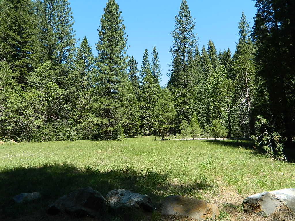
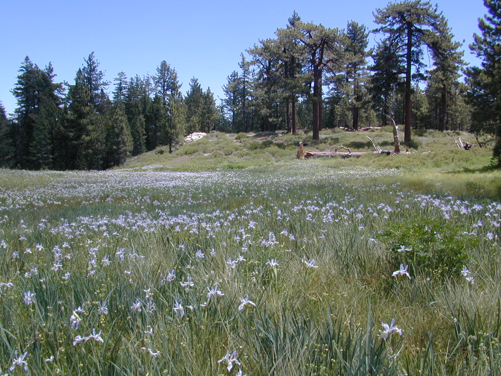
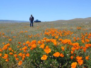
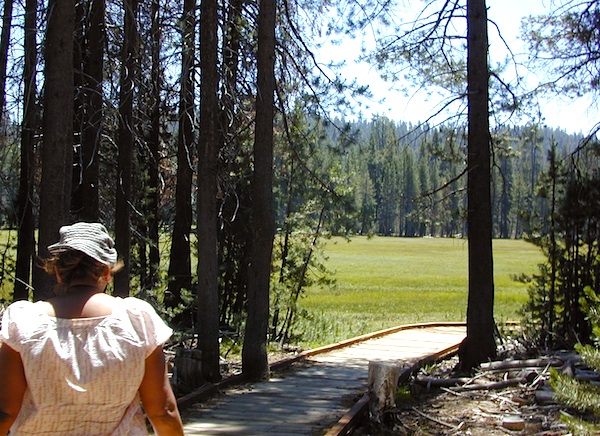
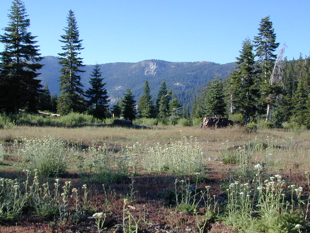
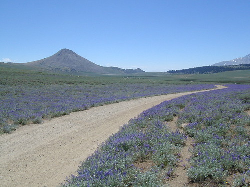
California meadow is a common term people search for when dreaming of their mountain retreat vacation or upcoming weekend camping trip.
Meadows are places in the forest where cool air collects and settles. Deer among other wildlife, can often be found here grazing around dawn and dusk. Alpine meadows are usually surrounded by trees with lush green grasses, located at higher altitudes above 6000′ – the ‘highcountry’ as most like to say.
Find meadows on National Forest lands from 3000-10,000′ elevation, and it is not uncommon to see cattle grazing in these same regions. California National Parks have some of the most protected meadows in the golden state!
MT SAGE – mountain sage meadows
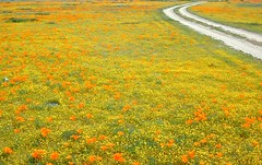
High desert mountains have drier landscapes, with large sage brush meadows surrounded by sparse pinon pine and/or juniper forest. The Mojave desert’s sagebrush reaches out westward to the peaks of West Kern County. High deserts and mountain meadows can both have significant wildflower blooms. The deserts start to show color in March & April, while the highest elevations of the Sierra Nevada can bloom as late as July & August. All California Wildflowers depend on autumn seasonal rains & snow melt.
Kennedy Meadows from Bald Mountain Fire Lookout
Wilderness Meadows
The best places to find secluded wildflower meadows is on the high country trails of various mountains – Mount Pinos, Sierra Nevada, Shasta, Trinity & Lassen – all have marvelous meadows, some have easy access w/ parking nearby and others are hike-in only. Locate hiking trailheads for meadows and possibly find camp nearby.
Excellent near Meadows:
Stargazing, Wildflowers, Wildlife Viewing, Horse Camping
Explore dirt back roads of California to find your very own meadow. If you would like to explore at this level, a good topo map is highly advised. The Sierra Nevada mountains have the most beautiful meadows in the state (by far). Their scenery w/ granite outcroppings and wild flowers, surpasses all else. Although on rare occasions, even the Antelope Valley can look amazing — with poppies.
Mountain Meadows are sacred spaces: Do not disturb the lush, grassy landscape, as wildlife rely on these areas for survival.
No driving on meadows. No camping on meadows; No Campfires; Camp next to (or nearby), but not on top of the meadow. Picnicking should be kept on the sidelines.
Stay on designated dirt roads: No tires across the meadow; No mountain biking, No dirt bikes, No off roading. You’re not spreading the seeds, you’re destroying a fragile ecosystem.
Ranch FENCING w/ barbed-wire is quite common around meadows, to keep cattle out of certain problem areas. Fences also help keep the wandering public out of private lands or sensitive areas.
When hiking – stay out of the muddy spots and know that if you choose to hike directly across meadow, you may encounter water and deep, sinking mud. HINT: There is usually a shallow creek running through most meadows, during all times of the year.
Winter snow usually blankets these fragile areas in winter, and when deep enough – making this terrain prime destinations for snowmobilers.
Graded dirt road near Clarks Fork junction @ SR 108. Dirt road travels up into forest, hiking trails and meadows; South side of the volcanic Dardanelles @ Tuolumne Co. & Alpine Co. boundary
County Line Trailhead
Wheats Meadow Trailhead
Carson Iceberg Wilderness Area
The Dardanelles (9524′ elev)
winter road closure, annually check with local rangers on road access and conditions.
Rd# 6N06, climbs to mountain scenery at upper elevations, well of the main highway. Route is a 2-lane wide road at times, narrower and private towards the end of roads; several dirt roads, overgrown 2 tracks w/ many camp sites to choose from. Dispersed primitive camping requires a camp fire permit.
OHV off-roaders will only find dead ends on dirt route 6N06. NO motorized access in nearby wilderness. Wheelers should try south of Highway 108 @ Niagra Campgrounds; Niagra Off Road #5N01 for all the noise-makers, gear heads, dirt bikes, and toy boxes. Niagra Creek, Niagra OHV, Niagra 4×4.
at Indian Valley, Northern Sierra Nevada mountains
also known as – Taylorsville County Campground Taylorsville Community Campground Taylorsville Park Campground
Beautiful North Sierra Nevada. The rural country life is out here… in the mountains of NorthernCal. Cattle ranches, a few sheep, grazing deer, big old barns, bike races and much residential. Taylorsville is a very small town, on the edge of the Indian Valley. Right across the valley from Greenville and Round Valley Reservoir.
elevation: 3200′ camp sites: 32 piped water near camp: yes toilets: flush showers: yes fee: yes season: May-October
Easy Walk to Town – Taylorsville, CA
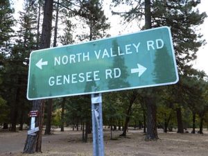
The wooded campground is located at the intersection of North Valley Road, Genesee Rd and Arlington Rd – a few miles off the main highway 89.
Looking for a quiet place to tent camp in between Quincy & Greenville? then this is it. The best developed campground option in the whole region. Closed for winter months – cuz it does snow pretty good up here.
This shaded tent campground loop is on a hillside; across the street from the small rodeo grounds, the community park w/ picnic areas, tennis courts and a small RV park. Campground host located behind the bathrooms.
Nearest local laundromat in nearby Greenville, behind the main grocery market.
bathing… would be nice
Flush toilets and showers, affordable overnight prices, plus ideal walking-hiking-biking location make this a special campground worth mentioning!
alphabetically listed; cross reference by lake or campground name. reservations may be accepted for certain locations; follow links.
Developed Lake Campgrounds
inside California
Most of the lake campgrounds listed below are traditional style campgrounds with easy access: paved driveways, toilets, tables, maybe piped water. Various agencies manage these park campsites and additional links are provided.
Some of the campgrounds may be more primitive than others, with long dirt road access, gravel driveways, and minimal facilities. This list includes a wide range of lakes, from reservable group camps, to private RV resorts to back road beauties. Even a few campgrounds without fees!
Higher elevation locations close-up for the seasonal winter snow, which can last from NOV-MAY (or later, depending on snowmelt).
no motor boats?
no RVs?
wilderness lake fishing?
trailhead access?
Each lake camp is different, so know what is available at the location before you get out there. Many spots do not have a boat ramp. Some lakes do not allow swimming. Some might be 4×4 access only, w/ hairy granite rock road, 12 miles long. If you require a general store within walking distance, then get the maps out, follow links and make sure.
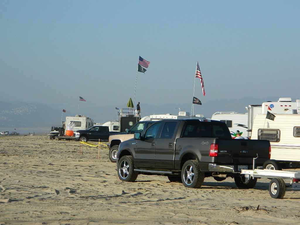
There are very few camping options along the Los Angeles coastline and what is available is geared toward RV campers and the dreaded, amusement parks. Orange County Coastline has the best camping near the Los Angeles region (without needing to smell the oil refineries). Ventura and Santa Barbara, both north of L.A. also have excellent camping beaches.
blue links lead to State Park pages with camp reservations.
SoCal Camping
Sunny and near perfect temperatures all year long, Southern California seriously pulls in the tourists. L.A. is a major metropolis city right next to the Pacific Ocean. With 22 million people residing in Southern California, and millions of visitors annually, this region is pretty busy all the time – even in winter months. Off season for camping might be November-March, when most of the precipitation falls for the year, but campground reservations are highly recommended all year long.
Dockweiler State Beach RV Park
Situated near LAX airport, the Chevron refinery and the main sewage treatment plant, this location can be stinky at times. Paved bike path along the beach leads north & south.
San Diego Coastal Campgrounds
Mission Bay & North County
SD Beach RV Parks & Camping
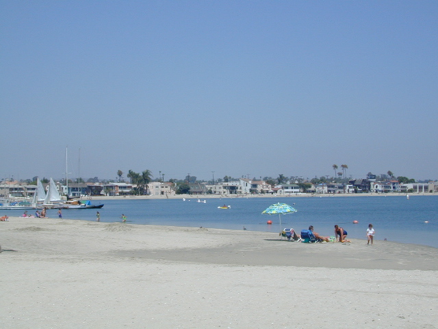
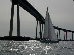
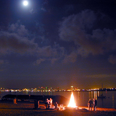
San Diego’s mild climate means camping is available all year round. Winter storms can get windy and rainy, but most campgrounds are still open. From north county where the coastal cliffs overlook the ocean, to downtown bay side marinas w/ RV camping, to camping right on the sand w/ ocean crashing just feet away. Bike paths are common around downtown San Diego, so you can bring your bike or skates.
San Diego has 2 BAYS, both located along Interstate 5: The main bay downtown is called San Diego Bay (one of the deepest on the west coast) and the other a few miles north, is named Mission Bay (a man-made coastal waterway w/ green parks and paved bike trails).
Reservations are required at almost ALL coastal campgrounds, especially around holidays, any 3 day weekends, and all summer long. Tons of tourists flock to Southern California and this is a very popular coastline – with busy little cities and crowded beach towns. Beware: if you are seeking secluded camping – this would not be the place.
San Onofre State Beach Camp Pendleton or Camp Nuclear; I-5 freeway close
in between Oceanside & San Clemente, CA
There are numerous private RV resorts, some quite large, like KOA and GoodSam parks located in and around San Diego county. Most are metro-close and not located on the beach. This list is primarily coastal camping options for the San Diego region.


 If you plan on not making camp reservations; make sure to have a plan B or C choice camp – in case your desired campground is already full. Many popular destinations can fill up fast (by noon in the summer).


 Oak foothills of the Historic Gold Country, at the edge of the Sierra Nevada mountains.


 Redwood forests and rivers are what make up most of the Northwest part of California, just below the Oregon coast. Logging and fishing are the big industries up here. Lumber mill towns and camps still exists today. Wilderness areas, dirt back roads, river kayaking, stream fishing, camping and real wild indians. Oh yeah, and Big Foot!


 Northern Sierra Nevada mountains is where the granite rock of the Sierra meets to volcanic rock of Lassen Volcano.
 Technically speaking, the Susan River is the top waterway of the Sierra Nevada mountains.


 Stay on designated dirt roads: No tires across the meadow; No mountain biking, No dirt bikes, No off roading. You’re not spreading the seeds, you’re destroying a fragile ecosystem.


