Stanislaus Camping / Sonora Pass Camping

Sierra Nevada Campgrounds inside the Stanislaus National Forest
Hwy 4, Stanislaus National Forest Camping
| campground | elev | spots | veg | toilet | water | notes |
| Big Meadow Campground | 6200′ | 30 | pines | flush | piped | Hi Sierra; no RV hookups |
| Bloomfield Campground | 7800′ | 20 | pines | vault | pump | Mokelumne River fishing |
| Board’s Crossing Camp | 3800′ | 5 | pines | vault | creek | Stanislaus River fishing |
| Hermit Valley Campground | 7100′ | 8 | pines | vault | creek | June-Oct |
| Lake Alpine Campground | 7300′ | 25 | pines | flush | piped | June-Oct |
| Mosquito Lakes Camp | 8260′ | 8 | pines | vault | lake | Sierra river fishing |
| Pacific Valley Campground | 7600′ | 9 | pines | vault | no | meadow, June-Oct |
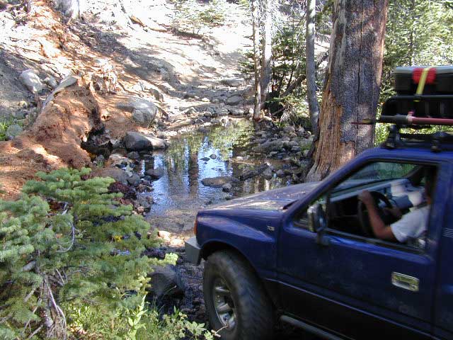
| Sand Flat Campground | 5900′ | 6 | pines | vault | creek | 4WD camp, June-Oct |
| Silvertip Campground | 7300′ | 23 | pines | flush | piped | June-Oct |
| Silver Valley Campground | 7400′ | 21 | pines | flush | piped | June-Oct |
| Stanislaus River Campground | 6200′ | 25 | pines | vault | pump | Sierra river fishing |
Hwy 120, Groveland Yosemite Camping
| campground | elev | spots | veg | toilet | water | notes |
| Lost Claim Campground | 3100′ | 10 | pines | vault | pump | May-Sep |
| Lumsden Campground | 1500′ | 11 | mixed | vault | creek | Tuolumne River fishing |
| Lumsden Bridge Camp | 1500′ | 9 | mixed | vault | creek | Tuolumne River fishing |
| South Fork Campground | 1500′ | 8 | – | vault | creek | Tuolumne River fishing |
Hwy 108, Sonora Pass Camping Stanislaus
| campground | elev | spots | veg | toilet | water | notes |
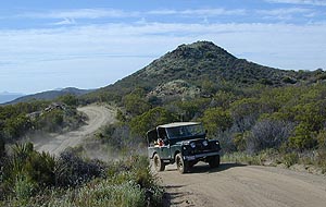
| Crandall OHV Camp | 5000′ | disp | – | no | no | May-Oct |
| Dardanelle RV Park & Cabins | 5700′ | park | pines | flush | piped | 209-965-4355 |
| Boulder Flat Campground | 5600′ | 20 | pines | vault | piped | Stanislaus River |
| Cascade Creek Campground | 6000′ | 12 | pines | vault | creek | May-Oct |
| Deadman Campground | 6200′ | 17 | pines | vault | piped | Stanislaus River fishing |
| Herring Creek Campground | 7350′ | 7 | pines | pit | creek | May-Oct |
| Mill Creek Campground | 6200′ | 19 | pines | vault | creek | May-Oct |
| Niagara Creek Campground | 6600′ | 10 | pines | vault | creek | May-Oct |
| Niagara Creek OHV Camp | 6600′ | 10 | pines | vault | creek | 4×4 camps, May-Oct |
| Sand Bar Flat Campground | 3000′ | 10 | pines | vault | piped | Stanislaus River fishing |
| Trout Creek Campground | 5400′ | disp. | – | chem | creek | equestrian, May-Oct |
GOLD COUNTRY CALIFORNIA Hwy 49

see also
Calaveras Big Trees State Park

nearby towns –
- Angels Camp
- Arnold CA
- Bear Valley CA
- Bridgeport CA
- Dardanelle CA
- Dorrington CA
- Groveland CA
- Jamestown CA
- Kennedy Meadows
- Markleeville CA
- Mi Wuk Village
- Murphys CA
- Pine Crest CA
- Sonora CA
- Soulsbyville CA
- Strawberry CA
- Tuolumne CA
- Twain Harte CA

maps of this Sierra Nevada region –


 No developed campgrounds back that way either. No flush toilets, nor paved roads. No flat RV spots; only primitive style camping.