Tag Archives: sonora pass

Stanislaus Campgrounds

Stanislaus Camping / Sonora Pass Camping
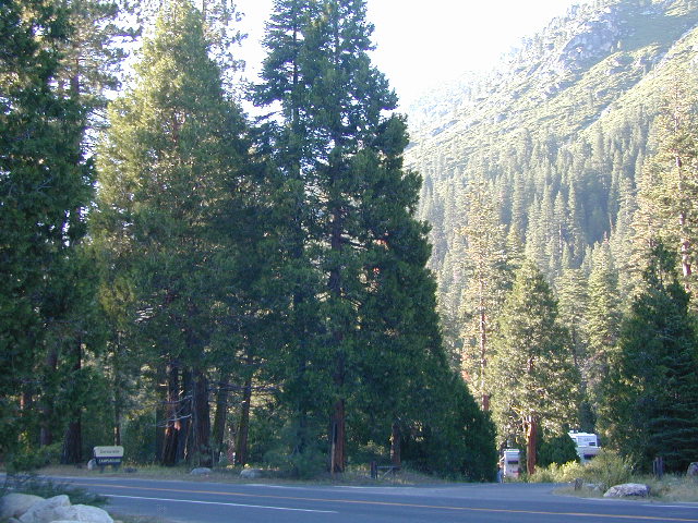
dardanelleNFS
NFS Dardanelle Campground along Sonora Pass Highway

camp

Sierra Nevada  Campgrounds inside the Stanislaus National Forest

Hwy 4, Stanislaus National Forest Camping

campground elev spots veg toilet water notes
Big Meadow Campground 6200′ 30 pines flush piped Hi Sierra; no RV hookups
Bloomfield Campground 7800′ 20 pines vault pump Mokelumne River fishing
Board’s Crossing Camp 3800′ 5 pines vault creek Stanislaus River fishing
Hermit Valley Campground 7100′ 8 pines vault creek June-Oct
Lake Alpine Campground 7300′ 25 pines flush piped June-Oct
Mosquito Lakes Camp 8260′ 8 pines vault lake Sierra river fishing
Pacific Valley Campground 7600′ 9 pines vault no meadow, June-Oct
Sand Flat Campground 5900′ 6 pines vault creek 4WD camp, June-Oct
Silvertip Campground 7300′ 23 pines flush piped June-Oct
Silver Valley Campground 7400′ 21 pines flush piped June-Oct
Stanislaus River Campground 6200′ 25 pines vault pump Sierra river fishing

Hwy 120, Groveland Yosemite Camping

campground elev spots veg toilet water notes
Lost Claim Campground 3100′ 10 pines vault pump May-Sep
Lumsden Campground 1500′ 11 mixed vault creek Tuolumne River fishing
Lumsden Bridge Camp 1500′ 9 mixed vault creek Tuolumne River fishing
South Fork Campground 1500′ 8 vault creek Tuolumne River fishing

Hwy 108, Sonora Pass Camping Stanislaus

campground elev spots veg toilet water notes
Crandall OHV Camp 5000′ disp no no May-Oct
Dardanelle RV Park & Cabins 5700′ park pines flush piped 209-965-4355
Boulder Flat Campground 5600′ 20 pines vault piped Stanislaus River
Cascade Creek Campground 6000′ 12 pines vault creek May-Oct
Deadman Campground 6200′ 17 pines vault piped Stanislaus River fishing
Herring Creek Campground 7350′ 7 pines pit creek May-Oct
Mill Creek Campground 6200′ 19 pines vault creek May-Oct
Niagara Creek Campground 6600′ 10 pines vault creek May-Oct
Niagara Creek OHV Camp 6600′ 10 pines vault creek 4×4 camps, May-Oct
Sand Bar Flat Campground 3000′ 10 pines vault piped Stanislaus River fishing
Trout Creek Campground 5400′ disp. chem creek equestrian, May-Oct

GOLD COUNTRY CALIFORNIA Hwy 49

pinetree

see also
Calaveras Big Trees State Park
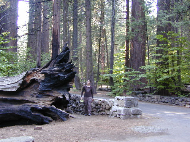
Calaveras Big Trees

butterfly

nearby towns –

hiker

maps of this Sierra Nevada region –
6N06 – Stanislaus NF

graded road

Forest Rd #6N06 – County Line Road, Fence Creek, Stanislaus National Forest

Central Sierra Nevada Mountains, California
N of Hwy 108; W of Sonora Pass

On the very edge of wilderness
Stanislaus National Forest
County Line Road
Fence Creek Campground (NFS)

Graded dirt road near Clarks Fork junction @ SR 108. Dirt road travels up into forest, hiking trails and meadows; South side of the volcanic Dardanelles @ Tuolumne Co. & Alpine Co. boundary

Carson Iceberg Map

County Line Trailhead
Wheats Meadow Trailhead
Carson Iceberg Wilderness Area
The Dardanelles (9524′ elev)

Clark Fork, Middle Stanislaus River

Topo Maps of this Region:

Stanislaus National Forest Map USDA
Carson Iceberg Wilderness Map USDA
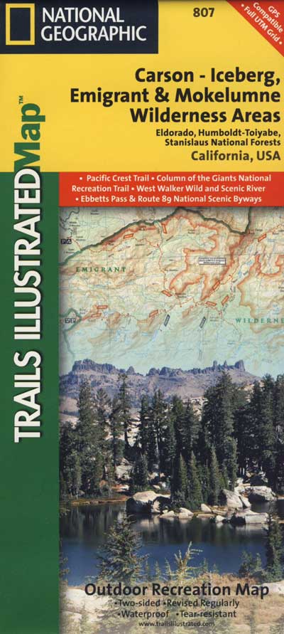
Carson, Emigrant, Mokelumne Map NatGeo
Sierra Nevada Topo Map

hiker

  • backpacker access
  • day hiking
  • horse camping
  • primitive camping
  • trailhead camping

winter road closure, annually
check with local rangers on road access and conditions.

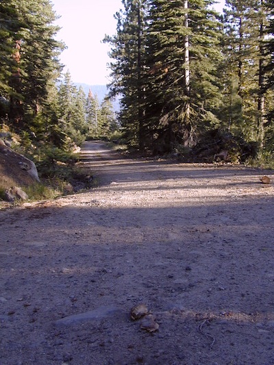
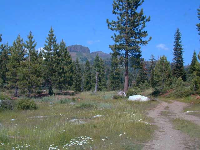
Rd# 6N06, climbs to mountain scenery at upper elevations, well of the main highway. Route is a 2-lane wide road at times, narrower and private towards the end of roads; several dirt roads, overgrown 2 tracks w/ many camp sites to choose from. Dispersed primitive camping requires a camp fire permit.

6N06rd

OHV off-roaders will only find dead ends on dirt route 6N06. NO motorized access in nearby wilderness. Wheelers should try south of Highway 108 @ Niagra Campgrounds; Niagra Off Road #5N01 for all the noise-makers, gear heads, dirt bikes, and toy boxes. Niagra Creek, Niagra OHV, Niagra 4×4.

dirtbikes

nearest towns:

Dardanelle
Pinecrest Lake
Twain Harte

volcano mdws

7N83 – Stanislaus NF

whitehorse

Forest Road #7N83 – Clark Fork Rd
Paved spur road, off Highway 108, Sonora Pass

Stanislaus National Forest
Clark Creek, flows west to Middle Fork Stanislaus River
Horse camping, Campground Camping, close to trailheads

NFS Campgrounds on this road:
NFS

Clark Fork Campground
Clark Horse Campground
Sand Flat Campground

Clark Canyon is a popular horse camping area in Stanislaus, located in between 9000′ – 10,000′ elevation peaks. This Sierra Nevada area is known for volcanic features and nice meadows. A small set of (hidden) cabins and pay phone along highway will be the best landmark for identifying the Clark turn off.

Hiking trailheads on this road:

Iceberg Meadow Trailhead
Carson Iceberg Wilderness Area

Forest Road #6N06, a dirt road to higher elevations and primitive camps, is also close by. Traversing up above the Fence Creek Campground (NFS).

Topo Maps of this Region:

Stanislaus National Forest Map USDA
Carson Iceberg Wilderness Map USDA
Carson, Emigrant, Mokelumne Map NatGeo
Sierra Nevada Topo Map

clarkstrails

Closest towns:

Dardanelle, CA
Pinecrest Lake, CA
Twain Harte, CA

Mokelumne Wilderness

Central Sierra Nevada Mountains, California

Mokelumne Wilderness Area

topo mapsMokelumne Map

Mokelumne (pronounced moo-ka-la-mi)
Backpacking, Camping, Fishing, Hiking, Kayaking Mokelumne River / Mokelumne Fishing / Mokelumne Trail / Mokelumne Wilderness Topographic Map

Vast alpine ranges located in the middle of the Sierra Nevada, between Highway 88 (Carson Pass) & Highway 4 (Ebbetts Pass). The Mokelumne Wilderness is a 105,165-acre federally designated wilderness area located 70 miles east of Sacramento, California. It is within the boundaries of three national forests: Stanislaus, Eldorado and Toiyabe. First protected under the Wilderness Act of 1964, the Mokelumne’s borders were expanded under the California Wilderness Act of 1984 with the addition of 55,000 acres. The wilderness takes its name from the Mokelumne River, which was named after a Mi-wok Indian village located on the riverbank in California’s Central Valley.

The wilderness encompasses an area of the Sierra Nevada mountain range between Ebbetts Pass to Carson Pass. There are two sections separated by the Blue Lakes Road and an Off-Road Vehicle corridor. Elevations range from 4,000′ to 10,381′. The highest point is Round Top 10,364′, a remnant volcano from which the wilderness area’s volcanic soils are derived from and is located on the east side of the Sierra crest.

recreation –

  • backpacking
  • camping
  • creeks
  • fishing
  • hiking
  • ice climbing
  • kayaking
  • lakes
  • mountaineering
  • rivers
  • wildflowers

surrounding forest lands –

National Forest & Wilderness Permits –

USDA Stanislaus
Lake Tahoe Basin Management

More Mokelumne Wilderness Info & Links –

sierrawild.gov/wilderness/mokelumne
summitpost.org/mokelumne-wilderness
Mokelumne Wiki
Mokelumne River

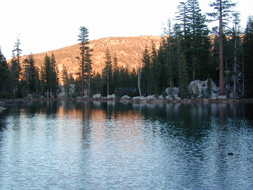
Sunset at Mosquito Lakes