Tag Archives: tahoe National Forest

Downieville Classic Mountain Bike Festival

_ADP2713.jpg

Downieville Classic Race

Downieville Classic Mountain Bike Festival

25th Anniversary in 2023

Downieville Downhill

The very busiest weekend to visit the Downieville – Yuba River canyon region, so consider yourself warned.

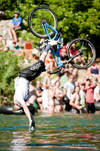
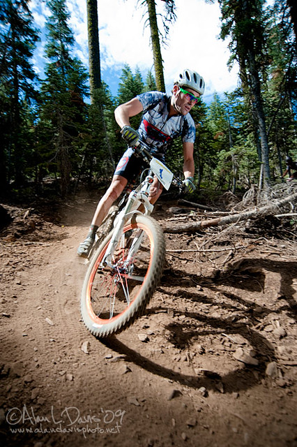
Bicycle Expo & Street Fair on Saturday and Sunday. Live music & dancing. Big Air River Jump, plus, race cross country style or the infamous Downieville Downhill. Shuttle service available.

One of the biggest mountain bike events on the west coast. Located deep in the heart of Northern Gold Country, along the Yuba River & historic Highway 49. Camping options available in every direction. The small historic hotels book up well in advance.

Annual event; July

DOWNIEVILLE CA

downievilleclassic.com


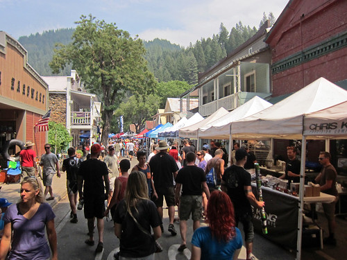
Festivities on main street

Ross Schnell

New Bullards Bar Reservoir

Bullards Bar California

Bullards Bar Boat-in Camps

BULLARDS BAR Dark Day is a lakeside walk-in campground on a small reservoir, located deep in the Gold Country foothills. Flush toilets and hiking trails, kayak rentals and fishing.

fish

West of Highway 49. Huge dam for hydro-electric power. Minimal roadways along the lake and steep canyons make for optimum hiking and boating. Floating and fishing. Relaxing in the mountains, with fresh water!

On most maps the official name of this lake may read New Bullards Bar Reservoir, or Lake Bullards Bar, but locals just call it simply – Bullards Bar!

Sierra Nevada Foothills. Yuba River, California.

Northern Gold Country, California

Near Camptonville, West off Hwy 49
in between Oroville and Nevada City, CA

Located not far from historic Downieville, Bullard’s Bar is an excellent base camp location for exploring the upper reaches of the Gold Country region. Old mining locations, museums, a covered bridge, various parks, Yuba River, Sierra Buttes, Lakes Basin. Grass Valley & Nevada City are also nearby. Mountain bike trails, river rafting and hiking all around.

New Bullards Bar

lake surface area: 969,600 acrespaddle sports

lake elevation: 2000′ above sea level

lake county: Yuba County California

roads around lake: Marysville Road (south of lake and east side w/ Hwy 49), Moonshine Road (south of lake), Oregon Hill Road (west side), Pendola Road (north side), and Forest Route #47 (dirt road on north side)

boatramp

nearest towns:

Bullards Bar
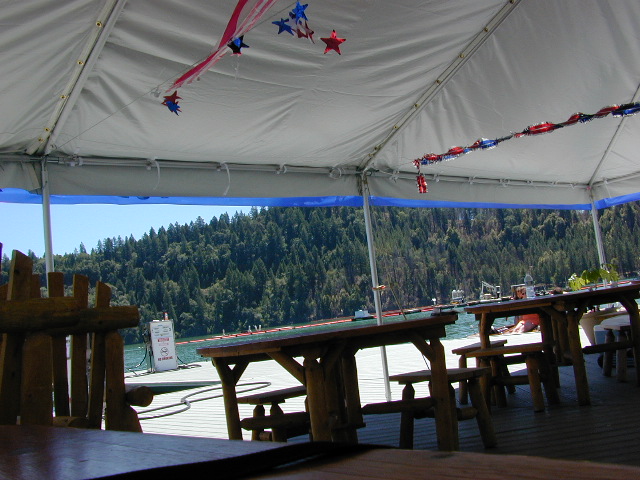
Shade @ the marina, just when you needed it most

Yuba River Recreation

camp

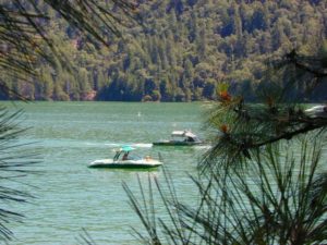
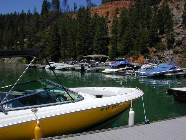
Bullards Bar water is a beautiful teal color of greenish-blue – due to heavy mineral content in the local soil (red dirt) and the dense forest above.

This water comes down the north fork of the Yuba River, as snowmelt from Lakes Basin Recreation Area, the Sierra Buttes, and the Yuba Pass on Highway 49. Northern Gold Country, California.

Bullards Bar Lake – Emerald Cove Marina
New Bullards Bar Reservoir
877-692-3201

boating boating gasoline marina

New Bullards Bar Reservoir

boat in camping

One of the few lakes in the Sierra Nevada that offer boat in camping at developed camp sites, and also to allow boaters primitive camping along the shoreline. No drinking water is available. No pit toilets, so a portable chemical toilet is always required. Plus, pack out all garbage.

No charge for DAY USE areas: parking or boat launch ramps

NOTE: Dark Day & Schoolhouse Campgrounds are the only car camping & RV accessible camping on this lake. These both have flush toilets and drinking water piped in. Hiking trails & boat launch nearby. Wheelchair accessible campsites are available.

CAMPS OPEN: APRIL – OCTOBER
Campgrounds @ BullardsBar are usually open from April to October annually and all are closed for winter months.

camping walkin camps hiking camping boating camping RV camping mountains

Bullards Bar Campgrounds

camp information 530-692-3200

  • GardenPoint: 17 boat-in sites
  • Madrone Cove: 10 boat-in sites
  • Shoreline Camp: 2 boat-in sites
  • Dark Day Walk-In Camp: 30 sites
  • Schoolhouse Campground: 56 sites
  • Hornswoggle Group Camp

Frenchy Point Campground USDA

Located 5 miles northwest of Dark Day Boat Ramp on the west side of the reservoir. Boat in only access. It is used as an over flow campground. There are campsites, but no bathrooms. Portable chemical toilet required. More info call Emerald Cove Marina at (530) 692-3200

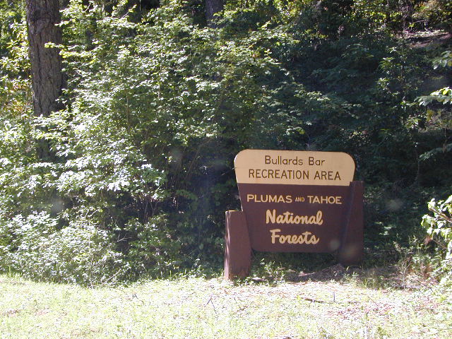
National ForestsBullards Bar Lake located on the Yuba River, bordering
between Tahoe National Forest & 
Plumas National Forest


bullards bar California

lake recreation 

  • boat in camps
  • canoe
  • fish
  • houseboat rentals
  • kayak
  • picnic sites
  • sail
  • watercraft rentals

land recreation

  • backpack
  • campgrounds
  • hike
  • mountain bike
  • walk-in camps

bikingbullardsdam

also in the area


View Larger Map

califrepublic

Second Spillway – in the works?
Yuba Water Agency has just committed to building a $160 million second spillway at the New Bullards Bar Dam; beginning in 2021, with a completion date of 2025.

check

https://en.wikipedia.org/wiki/New_Bullards_Bar_Reservoir
https://en.wikipedia.org/wiki/New_Bullards_Bar_Dam

Canyon Creek Campground

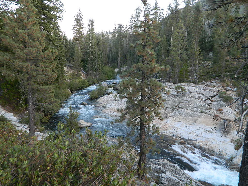
Tucked way back in the granite high elevations, near Donner Pass is a wilderness water flow called Canyon Creek. Connecting small lakes and big reservoir, this creek is part of the Nevada District water supply. The Sierra Nevada region is Tahoe National Forest and the terrain is abundant rock.

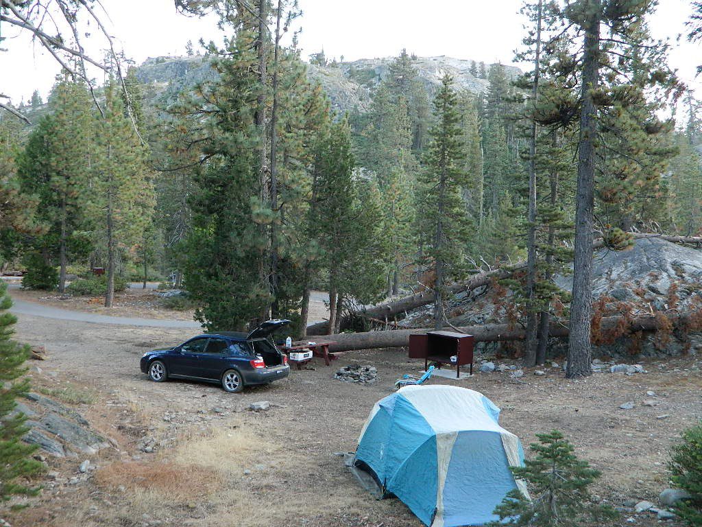
Campground is perched on the edge of rock overlooking the impressive whitewater; sounds of crashing water at certain campsites is deafening. Half of the campsites are located in a forest loop and the rest are out in the open, with much granite and fewer trees, perfect for star watchers.

Canyon Creek California


creekcanyon

Lake Faucherie is a mile up the creek and Sawmill Lake is a mile down stream, so it’s a great fishing location, as well as hiking, kayaking and canoeing destination. The Pacific Crest Trail (PCT) is also routed close by. A hiking trailhead at the north end of Sawmill Lake leads to a loop hike of small lakes.

Tahoe Rd 843

roughest roads in the region


Campground loop is paved, but the 12+ mile access road is NOT.
Twenty plus miles of paved & gravel backroads in boulder-hopping bliss, leads to granite lined lakes and forested campsites. Two different driving routes into this canyon:

  • One is the longer way Road 18 – paved access off of Gold Country Highway 20, which becomes an 8 mile long, rocky, rough, one-lane road around Bowman Lake.
  • The other is slightly shorter, county road #843 that comes in the back way from Jackson Meadow Reservoir (off Hwy 89, N of Truckee).

Both of these primitive roads join at Jackson Creek Campground, a favorite among off-roaders.

Canyon Creek Campground is another few miles up Road ##843-037, a rugged canyon route towards Lake Faucherie, where the road comes to a dead end.

Don’t let the old maps fool you: these National Forest Roads are labeled as gravel roads, but boulders and rock slides are quite common. 4×4 would be nice, but high clearance is recommended.

Minimal signs designate trails, roads and lake access; What signs that do exist are old, faded and broken. No warning signage reading ‘high clearance’ or ‘4WD recommended’ – so obviously Tahoe NF won’t be installing new signs anytime soon.fish

  • backpacking

  • camping

  • canoeing

  • fishing

  • hiking

  • kayaking

  • stargazing

Grassy Picnic Faucherie Lake

Faucherie, Sawmill and Bowman Lakes are all along this waterway called Canyon Creek.

National Forest Campground
Latitude: 39.436863
Longitude: -120.579564

Canyon Creek Campground

• Elevation: 6600′
• Number of Sites: 20
• Toilet: Vault
• Vehicle Access: High Clearance Vehicle, no trailers
• Campsites Reservation: No
• Camp Fee: No
• Length of Stay: 14 Days
• Season: June – October
• Trailheads: Faucherie & Sawmill Lakes
• Managing agency: Nevada Irrigation District
530-265-5302

Small Site

Canyon Creek Campground is an excellent campground for staying away from the crowds, which seem to focus more around Bowman Lake & Jackson Meadows Reservoir.

check

All campsites at this campground have steel bear boxes – for proper food storage in black bear country.

granite camp

Prefer camping outside of developed campgrounds? then the primitive camp sites that line Canyon Creek will be a welcomed surprise. Most are clearly marked with small signs and some may require 4×4 to access. When fire restrictions are tight, campfires are only allowed in the developed campgrounds.

granite loop
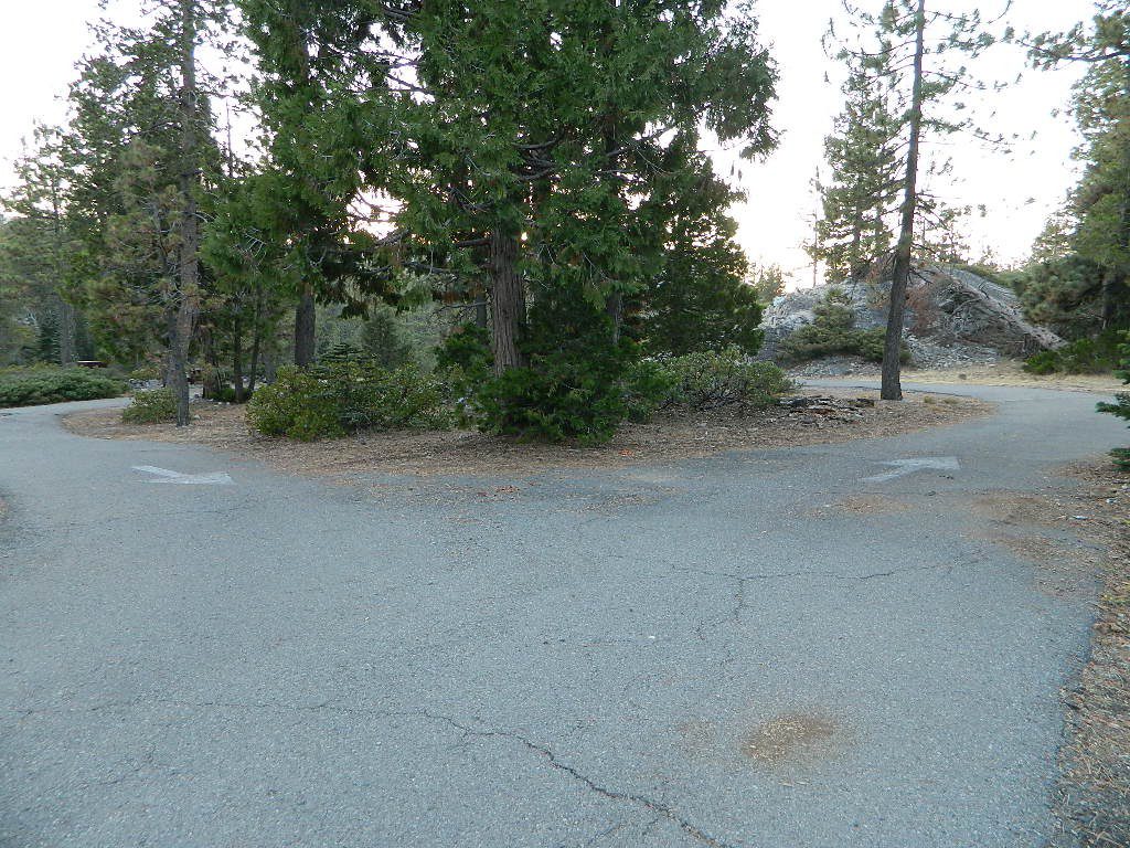
Two paved loops at this small campground.

pinetree

Lakes Basin Recreation Area

Lakes Basin Area, California

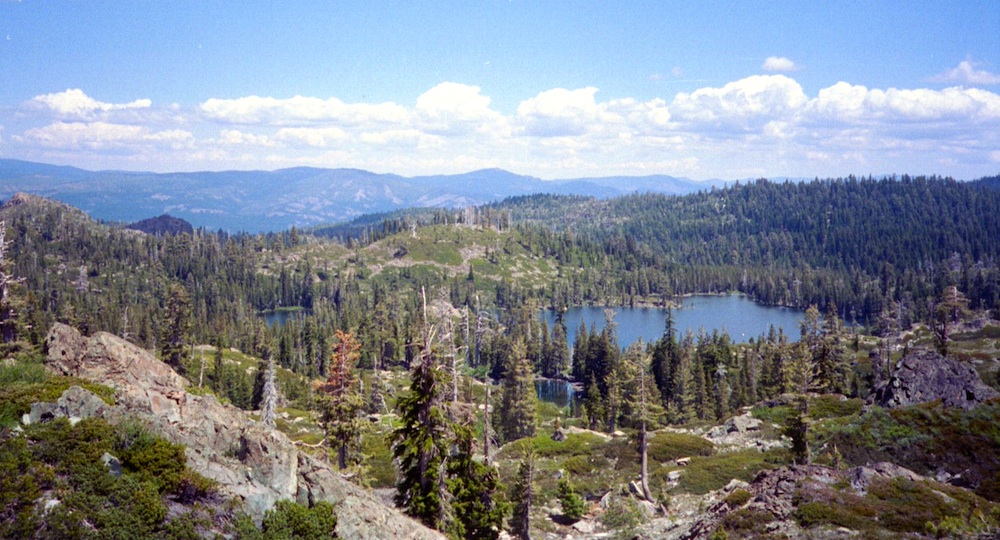
Golden gems of California, a collection of alpine lakes on the north end of Historic Gold Country, North Yuba River, Northern Sierra Nevada

lake dunk
EAST of Downieville, CA

California’s Gold Lake and surrounding lakes; the granite spires of the Sierra Buttes and the creeks, waterfalls, headwaters of the Yuba River — total wild beauty. Steep, granite, river canyon from Downieville drive east on Highway 49 from Sierra City to Bassetts, a gasoline and market stop; they have a small hotel there too.

Historic Lodges

Take the left turn, north on to the Gold Lake Highway. The alpine and extremely scenic Lakes Basin Area consist of all small lakes in between Hwy 49 to Hwy 89, along GOLD LAKE HWY [Road S620] some maps read Road #24 or call this Gold Lake “Road” instead of highway. Snow closes in this route during winter months.

The impressive Lakes Basin Gold Lake Region is in the north part of Tahoe National Forest, on the border of Plumas National Forest. Plumas Eureka State Park is also nearby.

Hiking, Camping, Backpacking, Picnicking, Wildflowers, Stargazing, Fishing, Kayaking, XC Skiing, Snowmobiling

Lakes Basin Map

Lakes Basin Campground

California best lake destinations

lakes basin views

Lakes Basin Recreation Area

Sierra Buttes Map


Faucherie Lake

Faucherie Kayak Camp

Faucherie Lake California

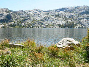
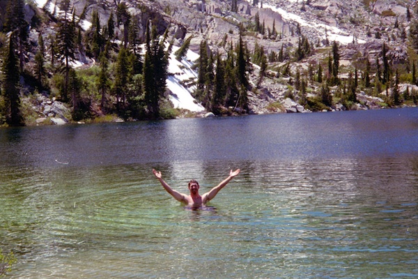
Lake Faucherie is set in spectacular scenery of granite mountains, with peaks and waterfalls all around. Many believe that you could only reach this kinda high elevation beauty by foot, with a backpack, but here it is – accessible by a very long, rough & rocky backroad.

No motorhomes, no camper trailers, no motorboats, no engine noises on the lake, no big families. Just well-deserved solitude, finally. Peace and quiet!

Perfect alpine lake for car-top boaters – those who carry their boats on top of a vehicle. But be warned very few ‘passenger cars’ make it back this far, due to the challenging roads.

BACKPACKING, CAMPING, CANOEING, FISHING, FLOATING, HIKING, KAYAKING, OFF-ROADING, SOAKING, STARGAZING, SWIMMING

No motorized boats or watercraft allowed. One public boat ramp; gravel parking area, vault toilets, gated entry for group campground. No more driving across dam (it is now gated).

NFS NFS NFS kayak camp hiking mountains NFS backroads snowmelt stars

Faucherie Lake Road – a spur road, off of the ‘843 Road’ leads up to both Sawmill & Faucherie Lakes, as well as the Canyon Creek Campground.

This primitive road forks off at Jackson Creek Campground, Tahoe NF, way, way back behind Bowman Lake. The rugged route is also known as Nevada County Rd #843-037. Conflicting numbers appear on USDA web site for this route, so don’t get confused.

The brown Forest Service signage is decent at Jackson Creek Campground – so if you get that far, you’re almost there. Sorta. Did I mention how crazy the road is? Any wet weather or snow will make this route “4×4 required”. This place is closed off about half the year, due to deep snow (NOV-MAY). Although on summer weekends, this area is busy for a remote high Sierra lakes region.

To reach this rugged Canyon Creek takes hours of driving with a good backcountry map and a reliable, high clearance rig. AWD Subies and mini SUVs beware, you’ll need a spotter on the bad sections of this road (or risk serious oil pan damage). Or perhaps maybe, we “shouldn’t be back on these kinda roads in that ‘lil sportwagon’ missy.”

See more details on driving directions for Canyon Creek Campground.
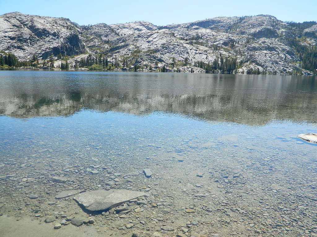
Crystal Clear Faucherie

Faucherie Lake Group Campground
(25 people maximum per site)

• Elevation: 6135′
• Number of Sites: 2
• Vehicle Access: High Clearance Vehicle, no trailers
• Campsites Reservation: Yes
• Camp Fee: Yes
• Season: June – October
• Trailheads: Faucherie Lake Falls, Five Lakes Basin, French Lake, Haystack Mountain

camp
Faucherie Group Camping

Campground Reservations:
Nevada Irrigation District
530-265-5302
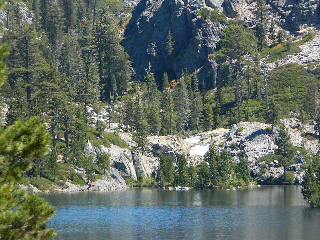
incoming flow

Faucherie Falls – Six waterfalls above lake:
Upper Faucherie Lake Falls #1: 39.4257 N, 120.5616 W
Upper Faucherie Lake Falls #2: 39.4257 N, 120.5606 W
Upper Faucherie Lake Falls #3: 39.4262 N, 120.5568 W
Upper Faucherie Lake Falls #4: 39.4268 N, 120.5550 W
Upper Faucherie Lake Falls #5: 39.4270 N, 120.5544 W
Upper Faucherie Lake Falls #6: 39.4272 N, 120.5538 W
USGS Topo: English Mountain
Granite Faucherie