Tag Archives: desert

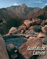
Guadalupe Canyon Hot Springs

Guadalupe Canyon Baja Hot Springs

Canon de Guadalupe
Baja Hot Springs Camping Resort


Baja California Hot Tub

40 miles SW of Mexicali – Laguna Salada off Mexican Highway 2

Guadalupe Canyon Oasis
Palm Canyon Hot Spring Camping Resort
619-639-7597


Off road destination, palm canyon in Baja California Norte
East of San Diego
SW of El Centro / Mexicali

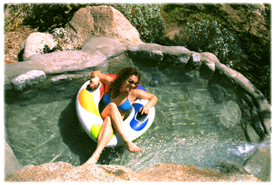
Imagine a palm oasis canyon in a remote area of the Baja desert; Cool springs that feed the lush landscape with huge boulders & cliff diving waterfalls. With each campsite featuring it’s very own custom hot springs tub. This place was a paradise 20 years ago, but is now over-developed w/ large groups, parties and camping families. If you can handle the 30+ miles of unimproved dirt roads, this spot is worth a visit mid-week. Winter months are prime time to visit the desert. Temperatures are moderate, days are pleasant & midweek has minimal tourists. Avoid holiday weekends as crowds a can get rowdy and disrupt the peaceful setting. Summer is triple digit heat for months. This canyon is hard to reach and inside a third world country, but well worth the distant journey.
Baja MapsPlenty of great hiking and petroglyph canyons, cool pools and waterfalls, granite boulders, soothing warm waters & gorgeous desert scenery. Summers are usually roasting out here, so plan your vacation accordingly. Palalpas (built for shade) add to the charm & unique look. Each campsite is unique & has a different lay out. Reservations are recommended.

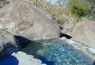
A family run set of campgrounds within a steep palm canyon. Hot Springs are piped to individual pools at each campsite for a maximum of privacy. A cold creek runs through the canyon as well, feeding the palm grove below & waterfalls way up canyon. A desert oasis set upon the slopes of the Sierra Juarez Mountains in Baja.

getting there is a journey –
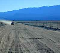
Recommended high clearance vehicle, sport utility vehicle, or truck. The last 35 miles of the trip is through rough & rugged sandy roads.

nearest towns –
Guided tours to Guadalupe Canyon can be booked thru Baja Trek. We are no longer offering Baja California trips with Total Escape Adventures

Baja hot spring photos from Total Escape Adventures trips –
FEB 2000
NOV 2000
APR 2001
NOV 2001
NOV 2002

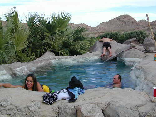
Lazy Afternoon in Baja

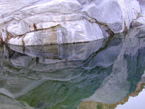
Pool Reflections 5

Rock Climbing Southern California

Idyllwild Camp Granite

Rock Climbing in SoCal is limited to the awesome southern deserts with boulders, boulders & yep, more boulders. Joshua Tree is well known, but Mojave deserts boulders have much to offer, with less crowds. Meaning you’ll get more on exploring new routes, off the beaten path.

Bishop in the Eastern Sierra has the Buttermilks, but we wanna cover stuff further south for climbers. Numerous crags and peaks can be found in the mountain regions of San Diego. Many destinations are also great camp spots.

Good granite is hard to come by & big granite walls are non-existent down south. The most popular piece of Southern California granite among climbers is that of Tahquitz Peak in Idyllwild CA

Big Bear Lake

  • Bouldering @ various places
  • Idyllwild Rock Climbing

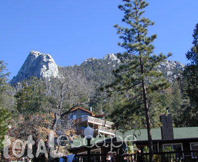
  • Tahquitz Peak in San Jacinto Wilderness: Tahquitz Peak Lookout stands at 8846′ elevation, towering above the pine village of touristy shops & cafes below. It’s a small slice of the Sierra Nevada (fabulous blue granite feeling) in SoCal & the rock climbers love it. Humber Park is at the base of the peak. The park is a family & tourist destination, especially during snow days. Paved parking lot is at the very top of the neighborhood, a well signed route. Follow the brown “Humber Park” signs. Hmmm, now is that ta-keets, ta-quits? Just ask a local – who grew up in Idyllwild.
  • Tahquitz Peak

    San Diego County climbing destinations:

    Army Rock
    Beirut
    Bonita
    Carlsbad Boulders
    Culp Valley
    Descanso Wall
    Dixon Lake
    El Cajon Mountain
    McCain Valley
    Mission Gorge
    Mt Everest
    Mt. Helix
    Mt. Woodson
    Otay Lakes
    Poway Crags
    Rock Mountain
    Santee Boulders
    Stonewall Peak
    Valley of the Moon

    For more on California rock climbing places, check out a few of our favorites resources:

    CA Rock Climbing Instruction

    Rock Climbing Ratings

    Rock Climbing Local Links

    California Rockclimbing.com

    Southern California rock climbing areas:

  • Idyllwild
  • Joshua Tree NP
  • Mojave NP
  • Southern California Maps that may be relevant:

    9N09 – Los Padres NF

    Quatal Canyon

    Quattale

    Quatal Cyn: Forest Road #9N09 – Los Padres National Forest

    Toad Spring Campground is located at high elevations (5700′) of Quatal Canyon, on a dirt road, half mile off the pavement of Cerro Noroeste Rd. The Chumash Wilderness, the Cuyama River Valley, Apache Saddle, Mount Abel plus the Bittercreek National Wildlife Refuge all surround this region. Los Padres National Forest meets the vineyards, orchards & farmlands, near Ventucopa. This is the badlands – 18 mile scenic dirt road, well signed at Hwy 33 & mostly graded. Quatal Cyn connects Ojai’s Highway 33 to the pinyon pine forest above near Pine Mountain Club (@ nearly a straight line?) Motorcycle dirt bikes & off-roaders dig this place. Street bikes will prefer paved Cerro Noroeste which runs the rim above to the north.

    This major dirt road is not gated at either end, but winter sometimes closes the route due to snow depth. It never stays closed very long, as some beefy 4×4 will break thru the snow berm soon enough. Top elevation @ Cerro Noreste is approximately 5500′.

    Quatal Canyon (possible Chumash word for Snake) is a giant high desert wash, ripping down from Cerro Noroeste (aka Mt Abel). Serious erosion w/ San Andreas fault lines – make it a very interesting canyon to explore on foot, horseback, motorbike, or mountain bike. The lupine & wildflowers here are incredible in late Spring in this red dirt canyon. Both nearby mountain peaks of Mount Abel & Mount Pinos are the tallest in Kern County.

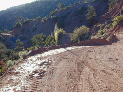
    This rugged primitive canyon gets torn up during a good storm in late summer or a big winter storm. Red dirt gets very slippery – especially on the edges of a cliff. Boulders in the road, flash floods – or no road, river of mud! 2WD passenger cars can take this route in dry months, but high clearance is usually preferred. 4×4 is needed during heavy rain or snow – which could be half the year (Nov-April). Flash flooding is possible all over Los Padres NF, so know the weather forecast in advance.

    Seen small RVs, trucks pulling trailers & even a U-haul moving truck down this way. MapQuest always amazes me where they route you. This is a graded dirt road, some of the time. MapQuest should post a ‘see Total Escape for this route’. Come on folks, if you’re traveling cross-country, while moving your residence, buy a real map to explore the National Forests of California. You may end up sleeping way out here – broken down in the moving van, in the boonies & no cell coverage, cuz you had a one page, wrinkled map in faded ink, wet & smeared. And MapQuest told you it was paved. It’s not paved 90% of the way.

    Primitive camping is also allowed in the canyon wash or on the side routes, in certain seasons. Use an existing camp site when possible. Clean out the rock fire ring of litter & bottles, pull back all dry brush at camps & leave these places better than you found ’em. There are hundreds of dispersed campsites out here. The open wash is especially nice on a full moon hike, just bring friends – cuz it is considered “big cat country”. Camp fire restrictions are in tight control on this SoCal region. You will need a camp fire permit, a big shovel & lotsa water. Check with the Los Padres rangers to make sure. Recently Zaca Fire (2007) & the month long Day Fire (2006) both came very close to this precious sanctuary.

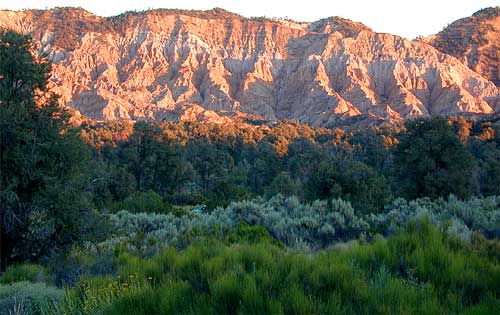
    The high desert terrain is pinyon forest, with yucca & manzanita. The eroded cliffs of red rock, white & orange hues, glow best during the clearest sunsets. You will almost think your in Utah, until you get up on a ridge & see the smog in the Central Valley of California.

    Mahu Tasen, a Native American camp and sweat lodge, has ceremonial grounds in a canyon off of Quatal. There is also a large rock quarry mining operation, as well as numerous wineries and ranches along this route. Several private residences too.

    Ballinger Canyon OHV Park is close by, 5 miles N on Hwy 33

    Carrizo Plain National Monument is also pretty close, N off Hwy 166

    towns nearby –

    PINE MOUNTAIN CA

    MARICOPA CA

    VENTUCOPA CA

    helpful maps of the region –

    Quatal Chumash Lands