Tag Archives: native

Roxie Peconom Campground

Lassen Forest Road #29N03
Roxie Peconom Camp
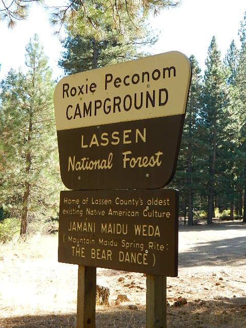
Roxie Peconom

MAIDU INDIANS: Roxie was a native medicine woman and lived over 100 years in these parts. Read more here

AUG 2021: Closed due to the Dixie Fire

Wild onions were found along the top of Thompson, Diamond, Eagle Lake, Willard, and Mountain Meadows.

Lassen National Forest – W of Susanville, CA

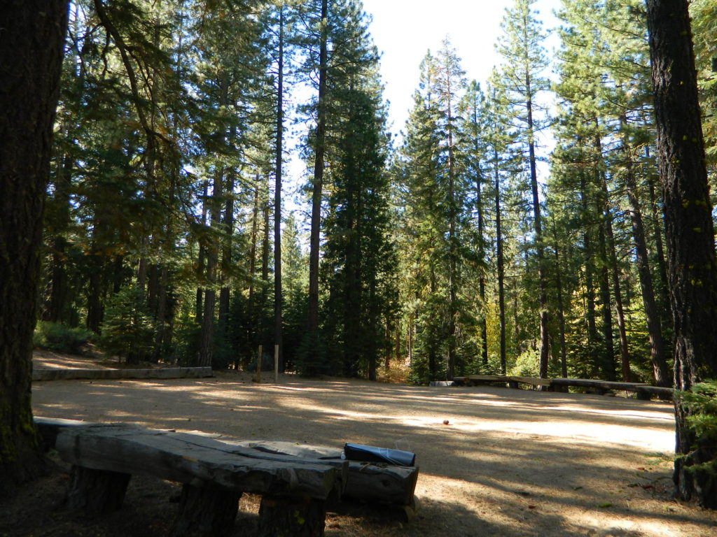
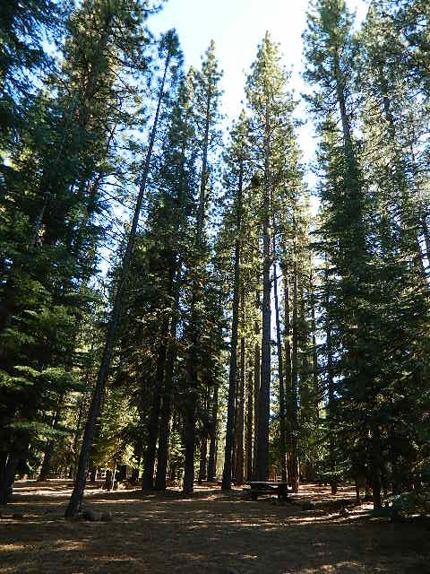
This pine forest is home to the developed NFS campground – which has been named after the tribal elder. The camp location is a sacred spot to the local native tribes. Just above Susanville, CA on the west side, south of the highway; forested w/ creeks and aspen groves. Autumn colors can be found in the creek beds.

Dirt roads all over the place, leading to far away destinations like Diamond Mountain, Antelope Lake and Taylorsville. The backcountry region was recently damaged by wildfires: 2020 Sheep Fire and now the Dixie Fire 

pinetree

FREE CAMPING – W Susanville, CA
en route camp

Less than 3 miles of dirt road #29N03 driving will get you back off the highway and into this forest, Hwy 36 W of Susanville. Bring the mountain bike for abundant usage and a week of exploring.

Only 13 miles to downtown Susanville, via the back road. Chaney Creek Road is a main dirt road near Highway 36, which parallels the river, the red rock bluff and the road, downhill into town.

This FREE campground is popular with the hipcampers and pediums – and gets rave reviews; small RV campers do like to use this camp spot, if they don’t mind a little dirt road driving; they’ll need to park in the dirt parking lot, 40+ feet away (not adjacent to the picnic tables or fire rings).

  • camping

  • ceremony

  • drum circle

  • fishing

  • hiking

  • horseback trails

  • hunting

  • mountain bike

  • off road trails

Roxie Circle
Bear Dance Circle @ Roxie

roxie seating

walk in campground, and close to town

hiker

Shady Campground

Walk-In Campsites @ Roxie

AUG 2021 – CLOSED due to the Dixie Fire

Roxie P Campground
Susanville, CA – Lassen NFNFSlogo

• Elevation: 4,800′
• Number of Sites: 10 (walk-in only)
• Vehicle Accessibility: any
• Campsites Reservation: No
• Campsite Fee: No
• Length of Stay: 14 Days
• Season: open all year
• Trailheads: Diamond Peak


shadycamp

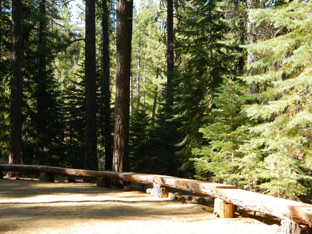
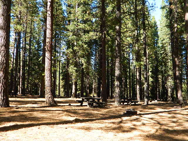
Flat forest and easy to walk. Shade and pine needles, picnic tables and group fire pits. All facilities are encompassed with a  sturdy wooden, fence line. No RV or trailer access to camp sites. Mountain bikers like this spot and so do horseback riders. Travelers passing through eastern California will welcome the convenient location, plus the ease of dirt road.

The Roxie Camp is situated near Willard Creek on the south side of the Highway 36, close to Susanville. Willard is a feeder stream into the Susan River, which flows into town.  Quiet camp, most of the time. If a big family is camping here w/ children, or there is a tribal gathering, it could get loud.

PLAN B –  head over to Goumaz Campground NFS, due north. Located in between, near the junction of Hwy 38 & 44. Near the railroad tracks and the Susan River. Smaller camp near the NRT (National Recreation Trail), the  Biz Johnson Trail (BLM).
2021, this camp is CLOSED!

so find someplace else: PLAN C
(make sure any camp is open by calling rangers before traveling).

Fire Lookout hike near Milford Grade

Susanville Hiking Trails PDF
BLM Southside Trails
mountain bike, hike, horseback
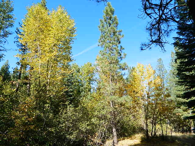
aspenroxie
Aspen trees at Roxie in Autumn

dirtbikes

off road Susanville

OHV activity may be passing the developed campground, but are discouraged – due to the layout of camp. Plenty spots for ‘froaders further out – at the end of the road. Way back there!

Jeeps, 4×4 trucks, quads, dirt bikes, anglers and hunters travel these dirt back roads, as well as rangers, campers, horses, mountain bikes, and big logging trucks. 25 mph slow is always best. Daytime headlights help you get seen in the shadows. Forest is dense and road conditions are ever changing.

Forest Road #29N03 is Gold Run Road, the bumpy dirt road – that skirts around Diamond Mountain on the south side. Lots of one single track or one-lane dirt roads, which will require a National Forest map or a decent topo map to navigate properly.

OHV is common in these areas, but not so busy at this camp. If you seek peace and quiet and solitude, know how to read a map and where the noise is expected to be. Avoid the OHV areas, if you want to nap in the hammock and read a book.

Wild red necks with guns live in NorCal, so pay close attention to property lines and trespassing signs.

ranger

USFS Ranger Station is located on the west side, just outside of town, on the wide downhill grade on the highway @ the Eagle Lake turnoff. Cal Fire station is also located along this stretch of road.

Lassen National Forest
Ranger Station USFS

CA-36 @ Eagle Lake Rd
Susanville, CA 96130
530-257-4188

Cal Fire Station
697 CA-36, Susanville, CA 96130
530-257-4171

fish

NEARBY TOWNS:

Chester, CA
Lake Almanor, CA
Susanville, CA
Westwood, CA

Susan River is nearby, but not really walking distance from Roxie Camp
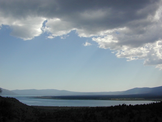
eagleclouds
Large Eagle Lake, N of Susanville, CA

32S13 – Los Padres NF

Sierra Madre Road
Sierra Madre Ridge, San Rafael Wilderness

Los Padres National Forest
Forest Road #32S13

off of Cuyama Valley Hwy 166

32S13 Sierra Madre Road

East of Santa Maria, CA – along Highway 166 (on the south side of the pavement) are several dirt roads that lead up to the main ridge road that access this part of Los Padres National Forest.

  • backpacking
  • camping
  • dirt bike trails
  • dirt roads
  • hiking
  • horse camping
  • mountain biking
  • off road routes
  • petroglyhs
  • wildflowers

4WD not required, but high clearance is helpful. Open almost all year. Rainy season gate closures (at hwy) during winter months.

4x4

dirtbikes

cruiseronridge

Sierra Madre Mountains

Miranda Pine Mountain (elev. 4120′)
Timber Peak (elev. 4754′)
Peak Mountain (elev. 5843′)
McPherson Peak (elev. 5749′)
Samon Peak (elev. 6221′)

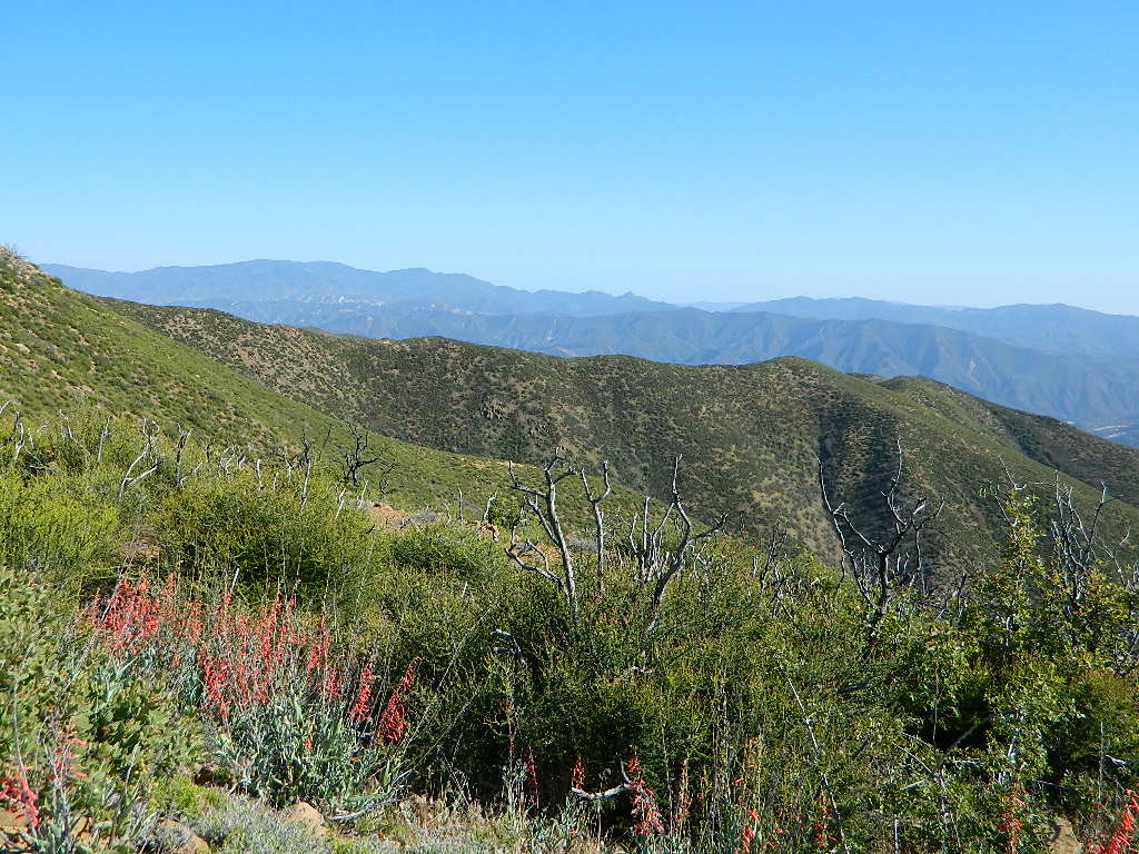
Sierra Madre Ridge is forest road #32S13, which parallels Hwy 166 (Cuyama River) for over 50 miles on the Sierra Madre Ridge at approx. 5000 feet elevation.

NOTE: A good stretch of this dirt road is closed to vehicle traffic. Although it connects to Santa Barbara Canyon near Ventucopa, you cannot drive it. Only hike or mountain bike!

Hog Pen Sign

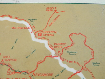
NFS Gate locked at the HOG PEN trailhead, and from there you can bike or walk all the way the other end at Santa Barbara Canyon near Cuayama Fire Lookout @ Dick Smith Wilderness

Still Standing

camp

Small campgrounds in the region:

off Highway 166
Miranda Pine Campground (on 32S13 @ 11N03)
Bates Canyon Campground (via Cottonwood Canyon Rd)
also known as White Oaks Campground
Aliso Canyon Campground (via Aliso Canyon Road)
not accessible by vehicle, from dirt road 32S13; only by trail

in the backcountry
Painted Rock Camp (hike-in)
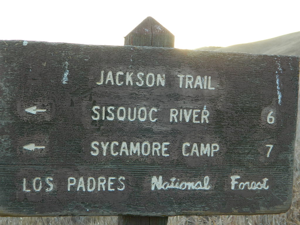
Sycamore Camp (hike-in)

high clearance, off road accessible
Horseshoe Springs (11N04)
Lazy Campground (11N04)
Wagon Flat Campground (11N03)
Barrel Springs (10N06)
Colson Canyon (11N04)

wildflower

coastridges

Highway 166 Cuyama River Valley
EAST San Luis Obispo County

Wildflowers Bloom: APRIL-MAY

mayflowers

redflora

San Rafael Wilderness

Sisquoc River
Native Rock Art
Sierra Madre Mountains

Rock Art Sign

MAPS of the Area:

hiker

Los Padres USFS MAP
Los Padres Topo Atlas
Los Padres West NatGeo Map
Dick Smith Wilderness Map

sisquocriver6nearby destinations: 

Cuyama Peak Fire Lookout
New Cuyama, CA

Rock Front Ranch 4×4
Santa Maria, CA
Ventucopa, CA

San Rafael Wilderness

Sierra Madre Mountains
Cachuma Lake to Cuyama Valley

Sierra Madre Mountains

197,380 acres
Central Coast Foothills
Los Padres National Forest

NFSlogoNorth of Santa Barbara, CA
East of Santa Maria, CA
South of New Cuyama, CA
West of Ventucopa, CA

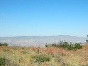
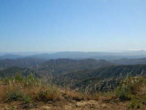
San Rafael Wilderness is otherwise known as the Santa Barbara backcountry. The Sierra Madre mountains and San Rafael mountains make up the this chunk of wilderness, a vast open space near the coast – which extends from Lake Cachuma to the Cuyama River Valley. This is the southern ridge line along Highway 166, with few pine trees, mostly oaks, leading west to Santa Maria River.

hikerFigueroa Mountain and Lake Cachuma are to the south near Santa Barbara. Vineyards and wineries skirt the western hills of Santa Maria, cattle grazing, oil fields and agriculture line the northern borders near Cuyama Valley. Dick Smith Wilderness is just to the east a little bit, spanning over toward Hwy 33.

OHV: better known as off-roading and dirt biking is common in the foothills behind Santa Barbara, as well as on the west side of the San Rafael Wilderness, near Miranda Pine and Tepusquet Road. Numerous small campgrounds on dirt roads are positioned around the perimeter, but no OHV trails lead into the wilderness areas.

McPherson Peak – 5749′ elevation
Peak Mountain – 5843′DSCN5759
Timber Peak – 4764′
Miranda Pine Mountain – 4120′
Wheat Peak – 2436′

trailheads –

  • via Figueroa Road #8N09
  • Cachuma Saddle
  • Davy Brown
  • McPherson Peak, on Sierra Madre Ridge
  • Painted Rock, on Sierra Madre Ridge
  • Santa Barbara Canyon, off Hwy 166

developed campgrounds surrounding the wilderness

  • Davy Brown Campground
  • Nira Campground
  • Cachuma Campground
  • Figueroa Campground
  • Manzana Schoolhouse
  • Colson Canyon (OHV) #11N04
  • Brookshire Springs
  • Miranda Pine #11N03
  • Horseshoe Springs
  • Lazy Campground
  • Wagon Flat Campground
  • Barrel Springs #10N06
  • Alesandro Campground

back road access –

  • Figueroa Mountain Road #8N09
  • Tepusquet Road, off Hwy 166
  • Miranda Pine Road #11N03
  • Sierra Madre Ridge Road #32S13
  • Cottonwood Canyon Rd @ Hwy 166
  • Santa Barbara Canyon Rd, off Hwy 166

indian rock art

Native American petroglyphs can be found in this remote region of Central California, but may require topographic skills, detective work, trekking and at least a full day of physical action.

PigPen Trailhead

Access to ”Painted Rock” on Sierra Madre ridge is hike/bike in only. The dirt road that access these trailheads are rough road and not maintained. High clearance may be needed. This day trip is an all-day adventure and you might want to consider bringing the mountain bike. Just stay on the road, as rangers will ticket for riding in the designated Wilderness Areas.

from the west – If you plan to visit the rock art from the west side, take Cottonwood Canyon (small sign) turn off of Hwy 166. Pay attention to private property signs, cuz the locals are serious about their lands. Keep on driving up the mountain. Above Bates Canyon Campground up on the ridge, turn left, east on dirt road #32S13 – proceed several miles to the dirt parking area at the pig pen w/ locked gated and signed trailhead.

from the east – dirt road hike is about 10 miles (one way) and it starts at the Santa Barbara Canyon trailhead @ locked gated. Rural back road access requires a good topo map. Find Cuyama River @ Hwy 166, take the route on west side of bridge. East of New Cuyama, CA

nearby towns –

Map California Baja

Secret Beaches
Secret Beaches of Baja

2003 Baja Map

Baja Topo Map

Topographic Maps of California Baja
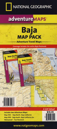
Baja California Almanac

BAJA MEXICO MAP

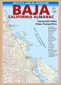
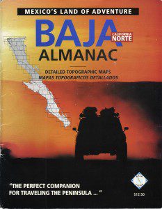
The mysterious topographic map maker, Landon Crumpton, is gone. Although his Baja Almanac book of the Mexican peninsula is still as popular as ever.

bajaalmaac

The Total Escape crew has been using this amazing topo map for Baja Mexico since our the very first excursions in 1990. Click below to read more about the famous, hard-to-find Baja Almanac publication.

  • Baja California Almanac
  • Topographic Map Book of Baja California

  • National Geographic Baja Maps
  • NatGeo Baja California Mexico Maps

    Baja California Maps

  • Find more Baja Maps
  • Obscure Books & Maps, AAA Maps of Baja

    Baja Snack

    Gold Country California

    Gold Country Sierra Nevada

    historic murphys hotel

    1849:
    California Gold Rush began

    These foothill regions below are the rivers & mountains of the infamous California Gold Rush of the mid-1800’s. Many mountain dirt roads will lead to your secluded, private camp site, near a creek or river. Or plan on camping in a developed Campground near a recreation lake lined with amenities, pine trees & oaks. River rafting & kayaking can be found throughout this area, as well as backpacking, mountain biking and hiking trails. Fishing is very popular as well.

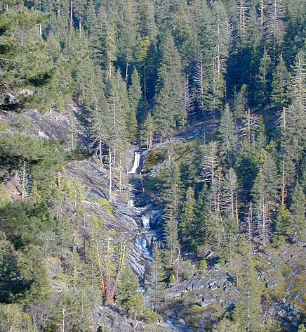
    Waterfalls, back roads, granite features, historic mining camps, big fishing rivers all abound. Wilderness backpacking in the High Sierra can be accessed by Hwy 108 (Sonora Pass) Hwy 4 (Ebbetts Pass) Hwy 88 (Carson Pass), Sierra US Route Hwy 50 & Interstate 80. Numerous small towns populate Historic Highway 49 for every tourists need – meals, laundry, grocery, coffee, lodging & shopping.

    waterfalls Sierra Nevada

    Gold Country California forest & parks –

    Hwy 4 Ebbetts Pass & Hwy 108 Sonora Pass

    Stanislaus National Forest
    Columbia State Park

    Arnold, Columbia, Dardanelle, Jamestown, Long Barn, Mi-Wuk, Murphys, Pinecrest, Sonora, Strawberry, Twain Harte

    Sierra Nevada

    Hwy 4 Ebbetts Pass & Hwy 88 Carson Pass, US Hwy 50

    El Dorado National Forest

    Amador City, Bear Valley, Georgetown, Jackson, Kirkwood, Meyers, Placerville

    Sierra Nevada

    Interstate 80 Donner Pass

    Tahoe National Forest

    Alta, Colfax, Foresthill, Grass Valley, Norden, Sierraville, Soda Springs, Tahoe City, Tahoma, Truckee

    Sierra Nevada

    North Hwy 49 Yuba River

    Malakoff Diggins State Park

    Downieville, Nevada City

    red brick alley

    9N09 – Los Padres NF

    Quatal Canyon

    Quattale

    Quatal Cyn: Forest Road #9N09 – Los Padres National Forest

    Toad Spring Campground is located at high elevations (5700′) of Quatal Canyon, on a dirt road, half mile off the pavement of Cerro Noroeste Rd. The Chumash Wilderness, the Cuyama River Valley, Apache Saddle, Mount Abel plus the Bittercreek National Wildlife Refuge all surround this region. Los Padres National Forest meets the vineyards, orchards & farmlands, near Ventucopa. This is the badlands – 18 mile scenic dirt road, well signed at Hwy 33 & mostly graded. Quatal Cyn connects Ojai’s Highway 33 to the pinyon pine forest above near Pine Mountain Club (@ nearly a straight line?) Motorcycle dirt bikes & off-roaders dig this place. Street bikes will prefer paved Cerro Noroeste which runs the rim above to the north.

    This major dirt road is not gated at either end, but winter sometimes closes the route due to snow depth. It never stays closed very long, as some beefy 4×4 will break thru the snow berm soon enough. Top elevation @ Cerro Noreste is approximately 5500′.

    Quatal Canyon (possible Chumash word for Snake) is a giant high desert wash, ripping down from Cerro Noroeste (aka Mt Abel). Serious erosion w/ San Andreas fault lines – make it a very interesting canyon to explore on foot, horseback, motorbike, or mountain bike. The lupine & wildflowers here are incredible in late Spring in this red dirt canyon. Both nearby mountain peaks of Mount Abel & Mount Pinos are the tallest in Kern County.

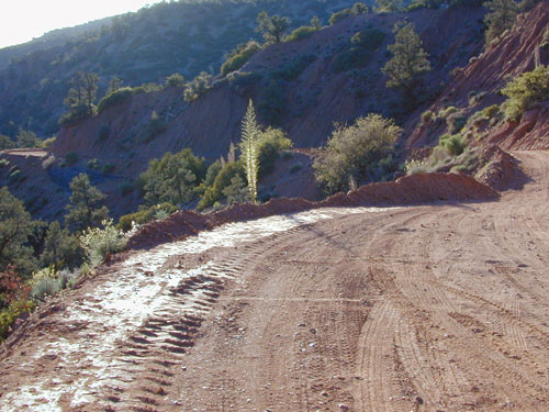
    This rugged primitive canyon gets torn up during a good storm in late summer or a big winter storm. Red dirt gets very slippery – especially on the edges of a cliff. Boulders in the road, flash floods – or no road, river of mud! 2WD passenger cars can take this route in dry months, but high clearance is usually preferred. 4×4 is needed during heavy rain or snow – which could be half the year (Nov-April). Flash flooding is possible all over Los Padres NF, so know the weather forecast in advance.

    Seen small RVs, trucks pulling trailers & even a U-haul moving truck down this way. MapQuest always amazes me where they route you. This is a graded dirt road, some of the time. MapQuest should post a ‘see Total Escape for this route’. Come on folks, if you’re traveling cross-country, while moving your residence, buy a real map to explore the National Forests of California. You may end up sleeping way out here – broken down in the moving van, in the boonies & no cell coverage, cuz you had a one page, wrinkled map in faded ink, wet & smeared. And MapQuest told you it was paved. It’s not paved 90% of the way.

    Primitive camping is also allowed in the canyon wash or on the side routes, in certain seasons. Use an existing camp site when possible. Clean out the rock fire ring of litter & bottles, pull back all dry brush at camps & leave these places better than you found ’em. There are hundreds of dispersed campsites out here. The open wash is especially nice on a full moon hike, just bring friends – cuz it is considered “big cat country”. Camp fire restrictions are in tight control on this SoCal region. You will need a camp fire permit, a big shovel & lotsa water. Check with the Los Padres rangers to make sure. Recently Zaca Fire (2007) & the month long Day Fire (2006) both came very close to this precious sanctuary.

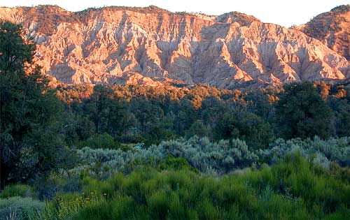
    The high desert terrain is pinyon forest, with yucca & manzanita. The eroded cliffs of red rock, white & orange hues, glow best during the clearest sunsets. You will almost think your in Utah, until you get up on a ridge & see the smog in the Central Valley of California.

    Mahu Tasen, a Native American camp and sweat lodge, has ceremonial grounds in a canyon off of Quatal. There is also a large rock quarry mining operation, as well as numerous wineries and ranches along this route. Several private residences too.

    Ballinger Canyon OHV Park is close by, 5 miles N on Hwy 33

    Carrizo Plain National Monument is also pretty close, N off Hwy 166

    towns nearby –

    PINE MOUNTAIN CA

    MARICOPA CA

    VENTUCOPA CA

    helpful maps of the region –

    Quatal Chumash Lands

    Fish Slough

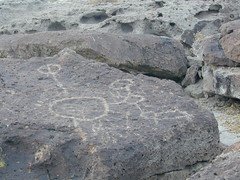
    On the north end of Bishop CA, running parallel to & on the west side of Hwy 6, is a long dirt road called Fish Slough Rd. Indian petroglyphs can be found out here & also on the ridges along Chalk Bluff Rd (to the south). The entire region is called a volcanic tableland & hot springs are very common in this region. The Owens River Gorge & Lake Crowley are to the west. High clearance vehicles are recommended for traveling these back roads, but 4×4 is rarely needed.

    Read & see more on Fish Slough Petroglyphs

    BISHOP CA

    LAKE CROWLEY

    BENTON HOT SPRINGS

    Visit Hwy 395 Hot Springs

    Indian Art Eastern Sierra

    Fish Slough

    Dave Explains