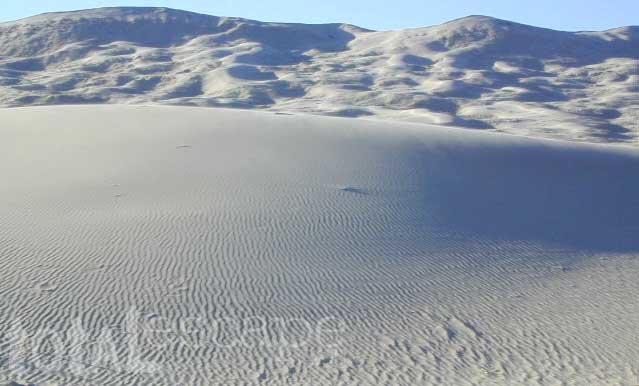
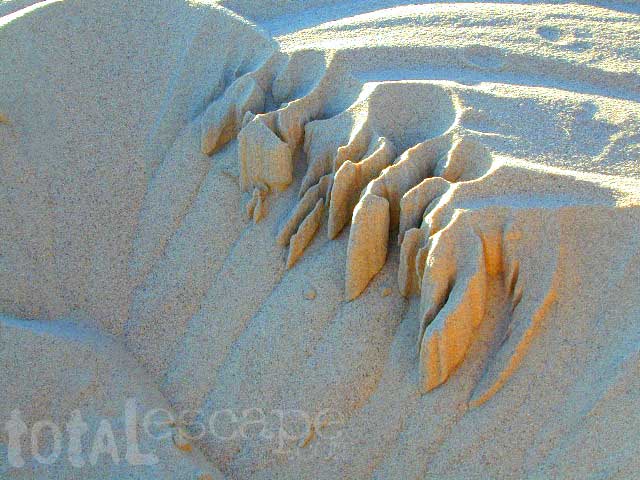
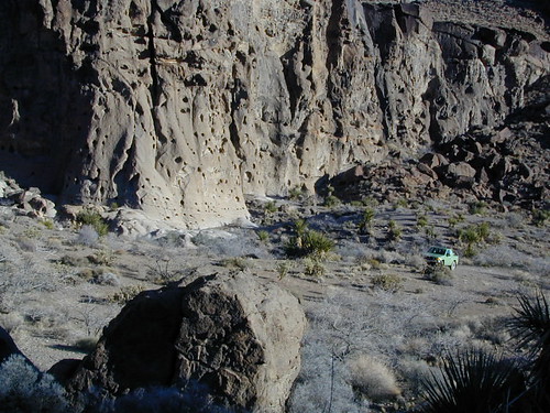
Kelso Dunes, Mojave NP
Kelso Sand Dunes are a unique geological feature in the middle of the Mojave desert; Located in triangle of high desert in between Barstow, the Interstate 40 and the Interstate 15.
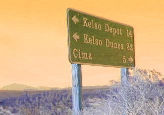
The (long) main (dirt) road (bumpy) access to these sands dunes – is located off of paved Kelbaker Road, which is just south of the train depot at Kelso, CA
 Kelbaker Road is located right off Interstate 40, at the eastern edge of Mojave National Preserve. From Barstow California take Interstate 40 eastbound to Kelbaker Road exit, turn north & follow the signs 20+ miles to the Kelso Dunes. The dirt road that accesses the sand dunes is a coupla miles of washboard & low rider passenger cars should use caution.
![]()
There is no off road OHV access on these dunes – as this vast desert area of flowing & blowing sand is part of the protected Mojave NP. Nearby, the historic Mojave Road is a dirt 4×4 trail that cuts straight thru the desert 138 rough miles, from the Colorado River to Afton Canyon near Barstow, CA

Kelso Depot, Mojave NP

![]()
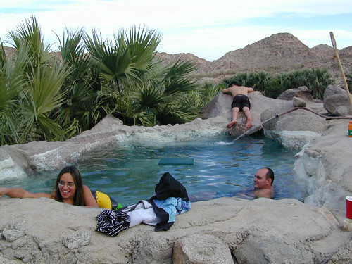
Primitive Camping Mojave Desert
Granite Mountains has secret boulder coves and primitive camp sites. Mountain biking, stargazing and b![]() ouldering (rock climbing) are abundant this region. Open camping on nearly any dirt road is an option, but pay attention yo signs as there are a few private ranches in these parts. Free camp spots serve as an excellent overnight stop for
ouldering (rock climbing) are abundant this region. Open camping on nearly any dirt road is an option, but pay attention yo signs as there are a few private ranches in these parts. Free camp spots serve as an excellent overnight stop for ![]() those traveling to and from the east — Vegas, NV, Grand Canyon, AZ or Utah.
those traveling to and from the east — Vegas, NV, Grand Canyon, AZ or Utah.

Campground Camping Mojave Desert
- Mid Hills Campground
- Hole In the Wall Campground
- Providence Mountains SRA @ Mitchell Cavern
![]()
![]()
View Larger Map of Kelso Dunes
WIDE OPEN High DESERT
FREE CAMPING
SAND DUNES
RAIL ROAD
DIRT ROADS
JOSHUA TREES
BOULDERS

nearest towns in the vicinity:
- Cima, CA
- Baker, CA
- Barstow, CA
- Goffs, CA
- Nipton, CA
- Las Vegas, NV
more Mojave links


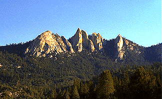 The Needles:
 From the small cabin community of Ponderosa, CA, continue N on the Western Divide Highway. Dirt road# 21S05 will be a right turn, a graded route that leads to a dirt parking lot for hikers.